Storm Chase Details
Miles Logged: 25
States Chased: MI
Highest Wind Encountered: 60 MPH
Severe Risks: SPC Outlooks
Severe Reports: Storm Reports
A line of storms formed early in the afternoon hours on June 8, 2008. I knew today would be a chase day, and I knew I wouldn’t have to go far to see anything cool. I never knew we’d have an EF-1 tornado in Lansing. I loaded up my truck and got everything up and working around 2 pm.
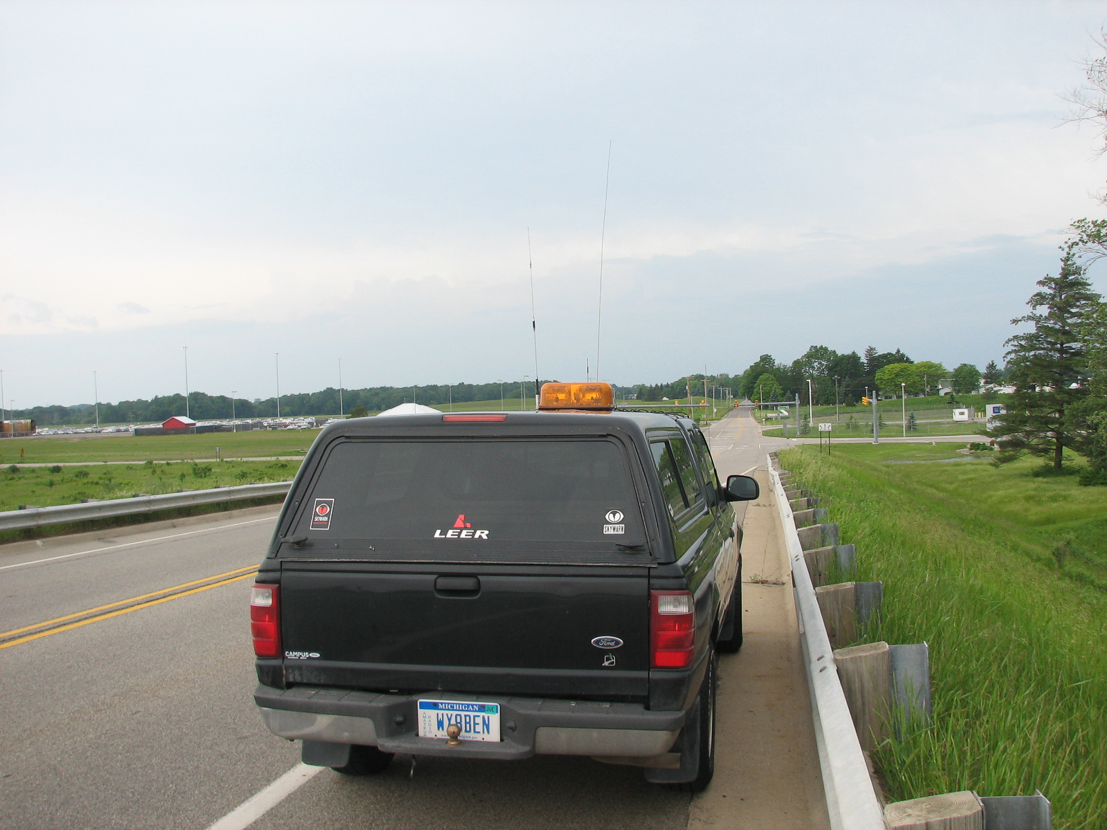
City of Lansing Emergency Manager Atkins asked me to go run by some areas on the north side and send back some live video prior to the new storms arriving for their damage assessment. I did that then headed out to Delta Township in West Lansing. I was going to set up on the Mt. Hope Highway bridge, but trees and narrowness of the bridge made me reconsider. I settled for the bridge over I-69 on Davis Highway near the new GM plant and setup my camera. I did a time lapse as the shelf cloud approached and took quite a few pictures.
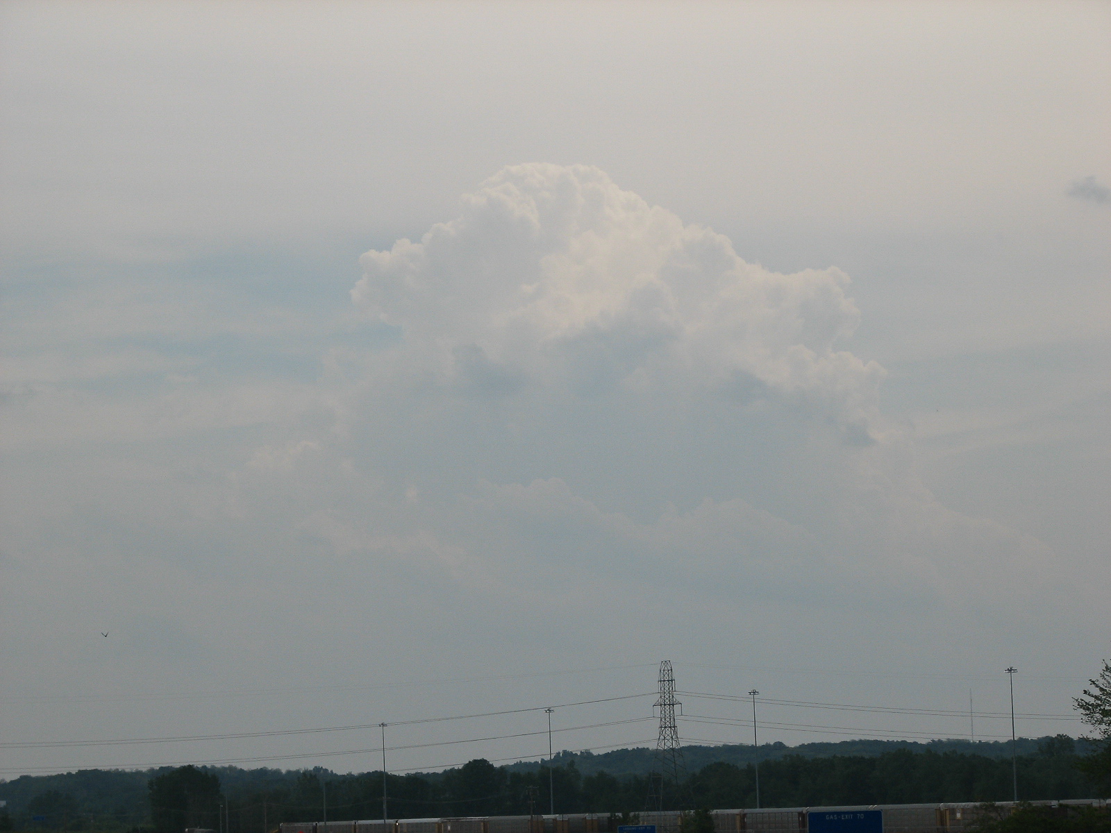
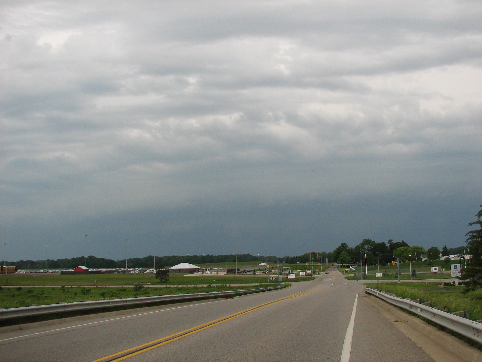
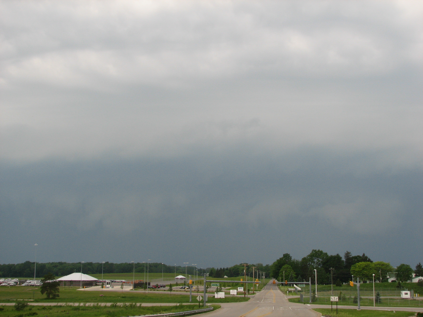
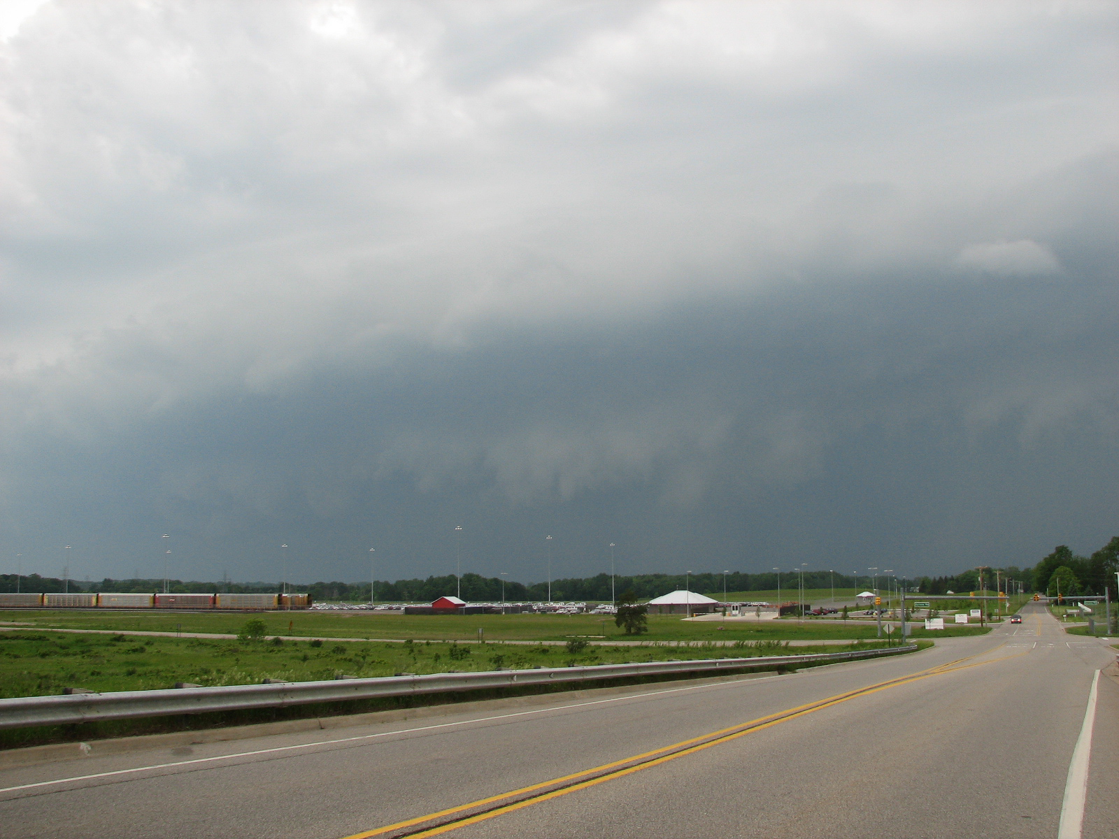
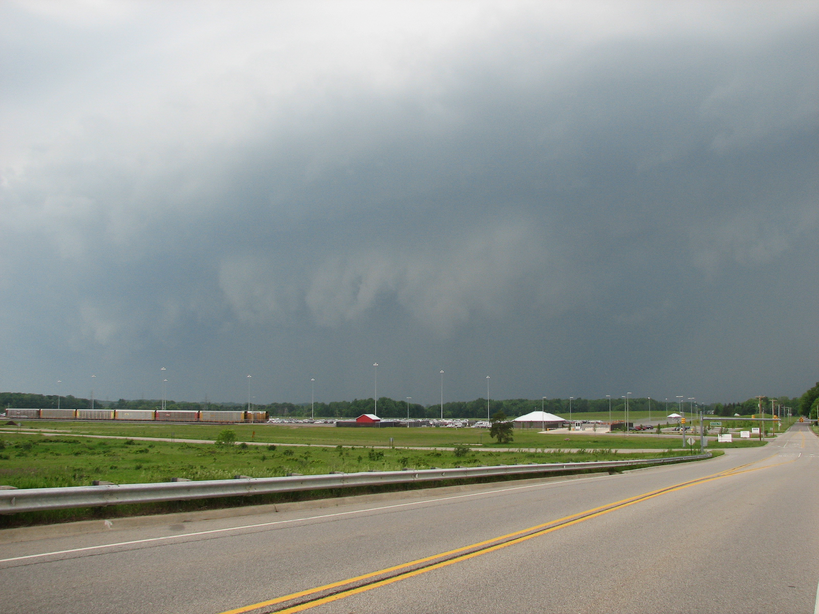
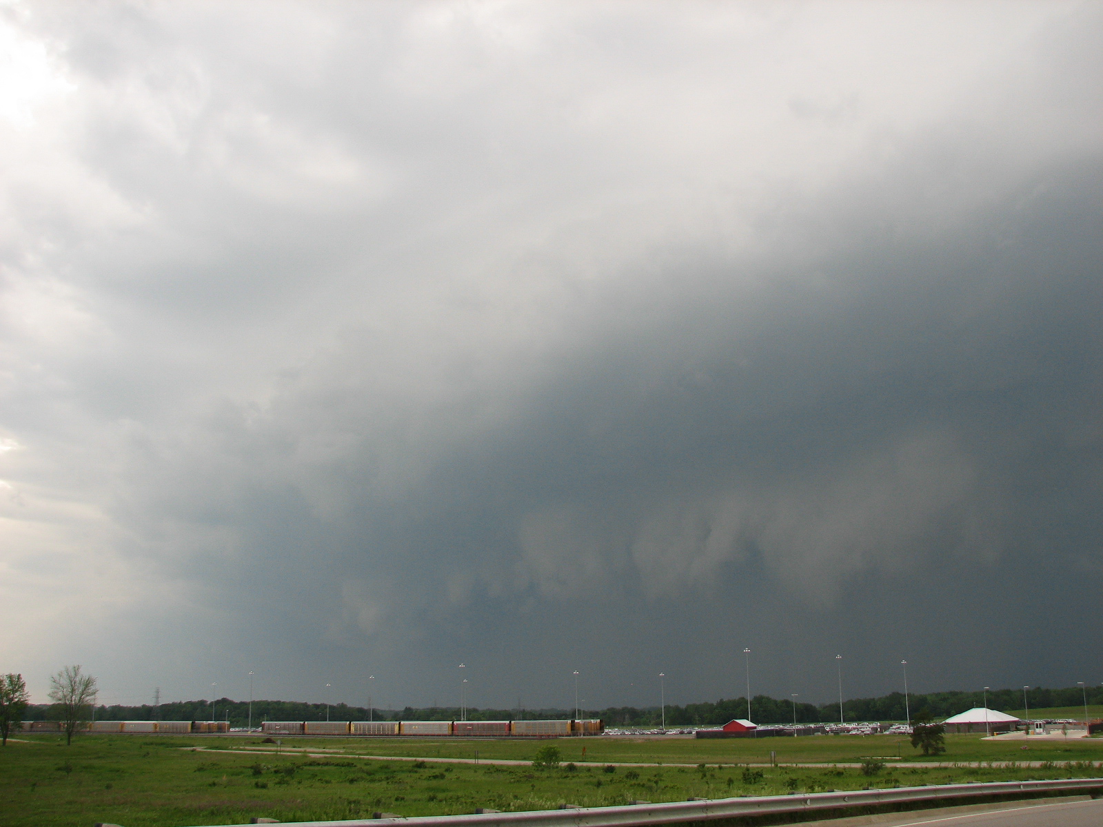
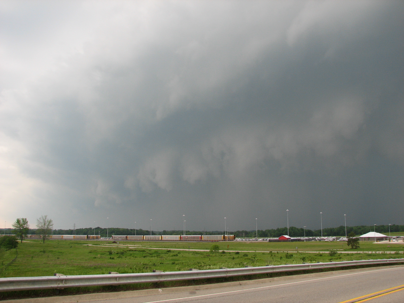
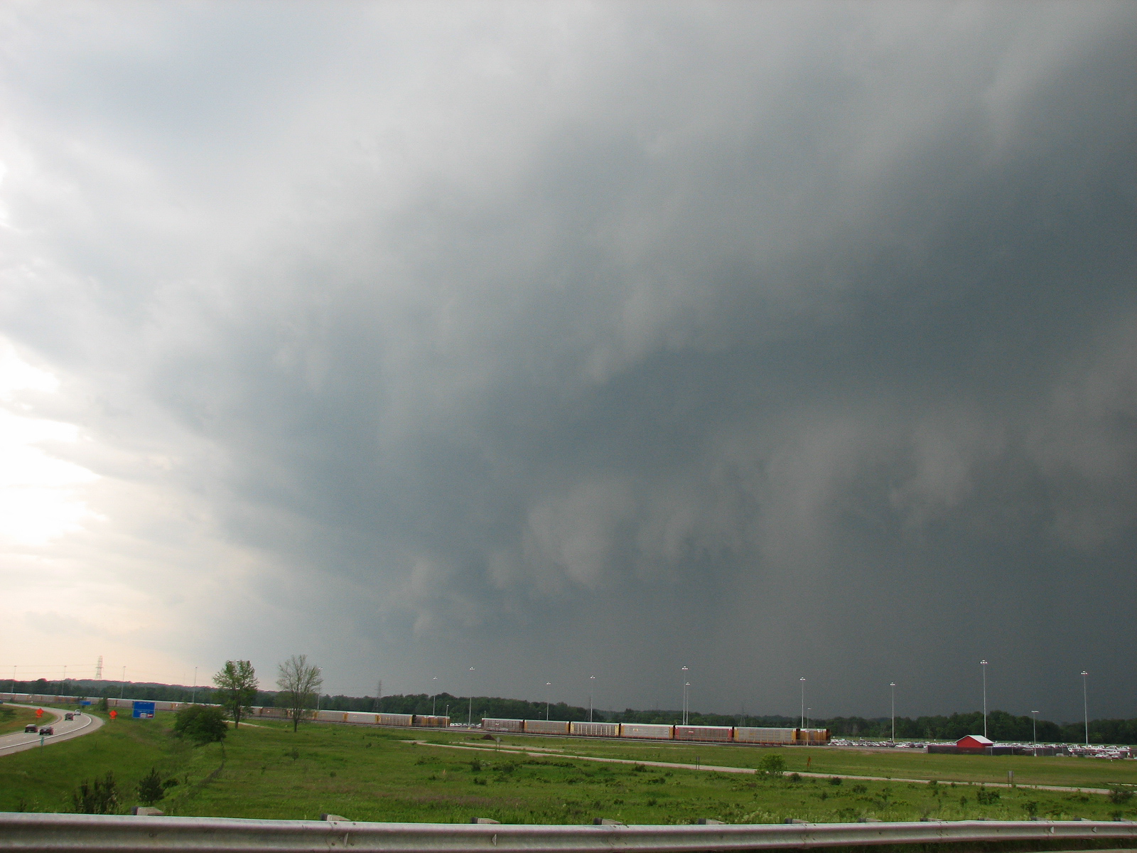
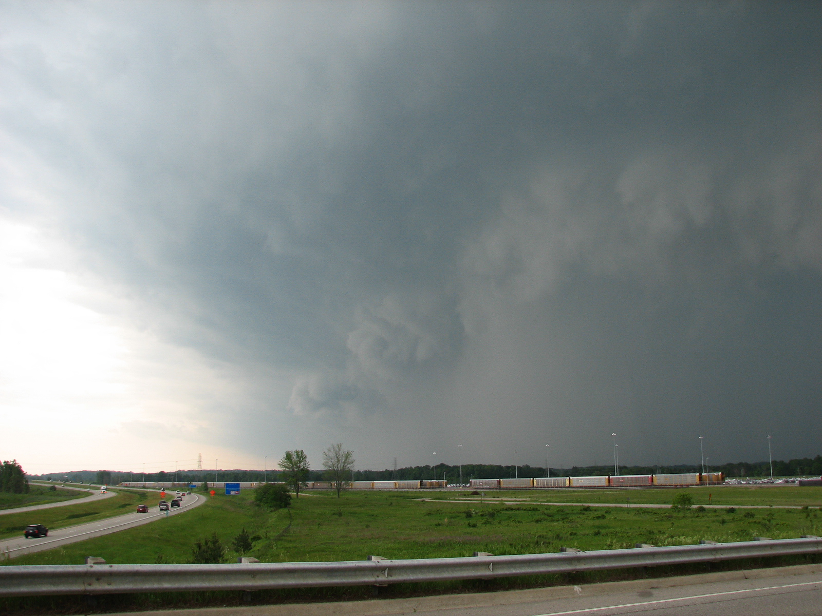
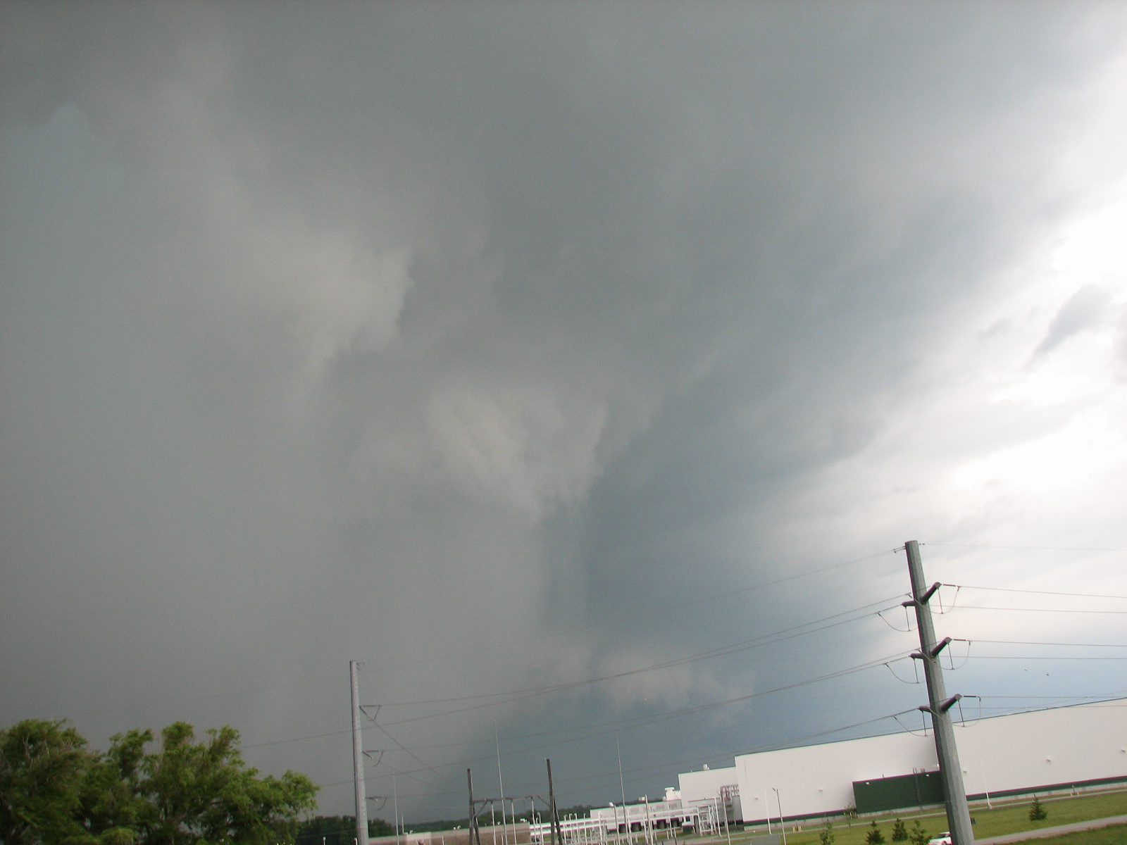
The shelf cloud was a monster, bringing with it 60 MPH winds and torrential rains. Shortly after the leading edge of the shelf cloud hit me, a Tornado Warning was issued for Ingham and Clinton Counties.
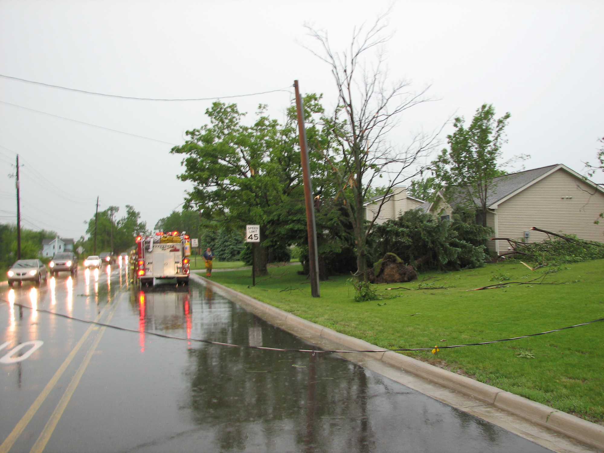
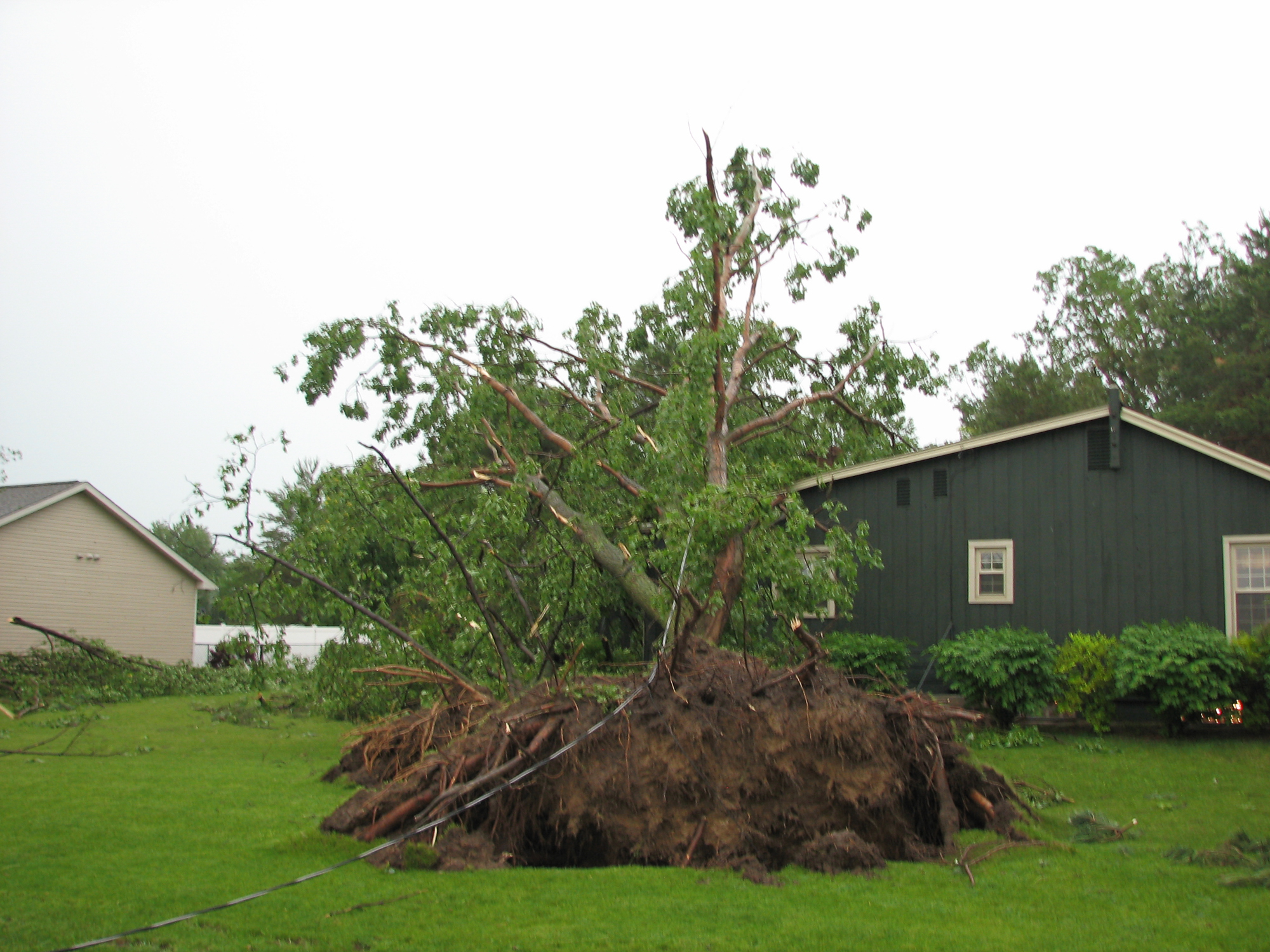
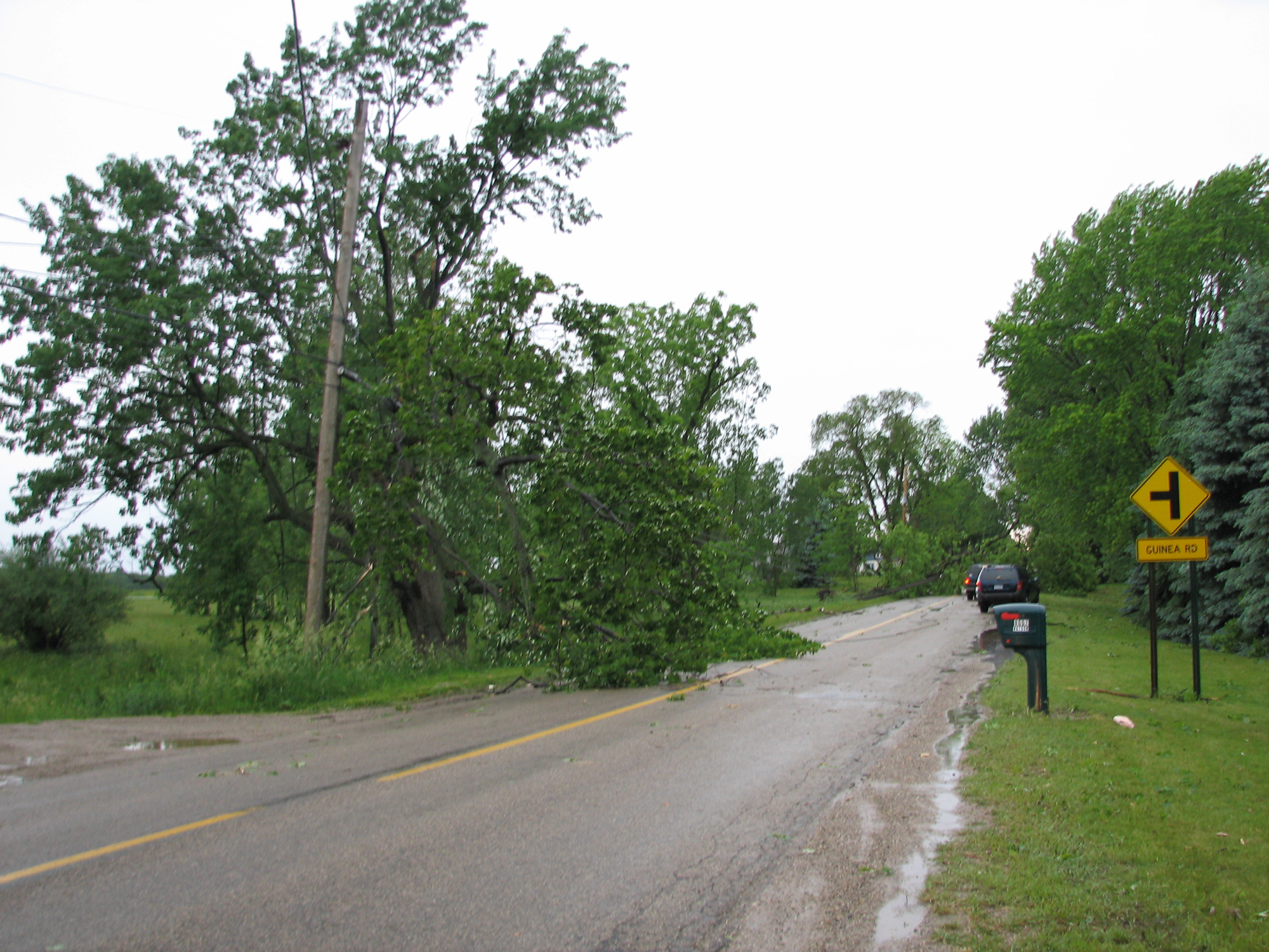
I shot north up Canal Rd. to Mt. Hope where I ran into a damage path. There were power lines down over Canal Rd, so I sat for awhile blocking the road and taking video. Eventually the Fire Department showed up and took over, and I went around and took some more video. I went down Mt. Hope Highway to find more damage, and the road closed. The Lansing EF-1 Tornado caused 1 fatality. I headed back into Lansing eventually taking video downtown at the State Capital and along I-496 of damage.
Links
National Weather Service Grand Rapids write up for June 8, 2008


