Storm Chase Details
Miles Logged: 773
States Chased: MO, IL, IA
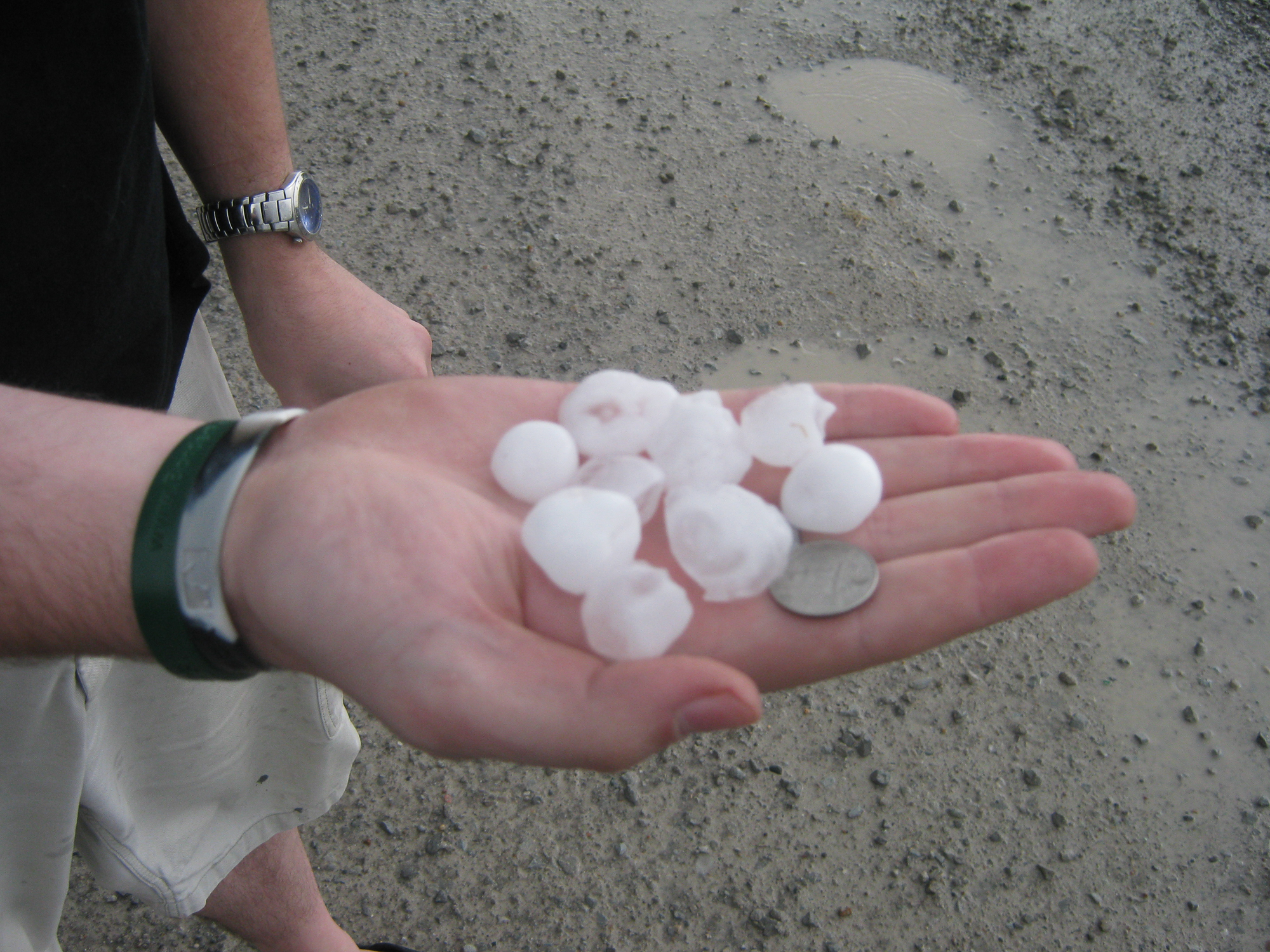
Largest Hail Encountered: 1.50 in.
Spotter Network Reports: 1
Severe Risks: SPC Outlooks
Severe Reports: Storm Reports
Adam Lucio and I split a hotel room on Monday night in St. Joseph, MO. We woke up semi-late. When I checked things out, there was ongoing Severe Weather in Lansing, MI. While I was taking a shower, Grand Rapids issued a Tornado Warning for my county. I stepped out of the shower and Adam told me to not bother coming out because I didn’t want to see what was going on – haha.
We hit the road, heading up I-35 north, stopping first at Osceola, IA and meeting up with Skip and Randy. Skip and Randy took off north towards the warm front which was situated closer to I-80 at the time being. There were storms going up near the Warm front, but they were crossing and dying off pretty fast, as well as having a real linear/elongated look on radar.
We decided eventually to inch north a bit then east on highway 92 to Indianola. We inched north to Monroe, IA then decided to go east and south to get in position to catch the storms which were firing near the IA/MO border.
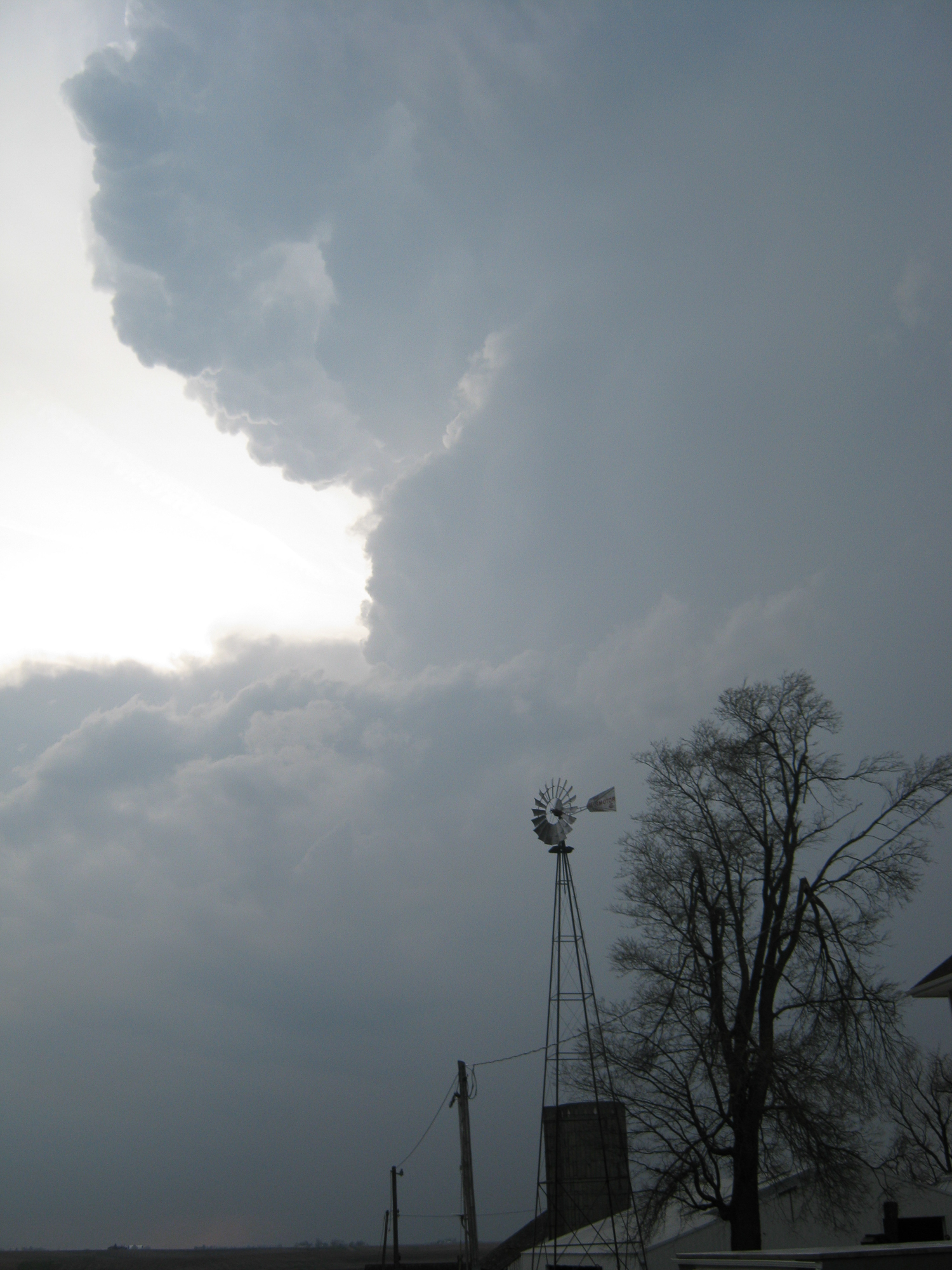
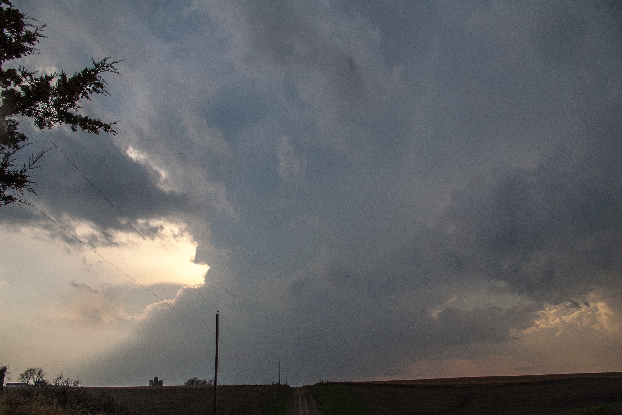
Adam and I eventually decided to wait up for another cell as the original one we were on blasted away from us at rocket speeds. We got some decent structure pictures before everything turned into a linear mess.
We got back into the line of storms, which had become broken at this point. The storm had a weird funnel/scud inflow looking feature that was hard to make out in the dark. I captured some video of it, so I’ll let you be the judge of it.
The National Weather Service issued a Tornado Warning shortly after for the radar indicated rotation. I still don’t know exactly what you’d call the feature, but it was interesting nonetheless.
We stopped off at a gas station and got cored again by some more messes of storms. I also used that opportunity to use their wifi to upload video.