Storm Chase Details
Miles Logged: 641
States Chased: KS
Severe Risks: SPC Outlooks
Severe Reports: Storm Reports
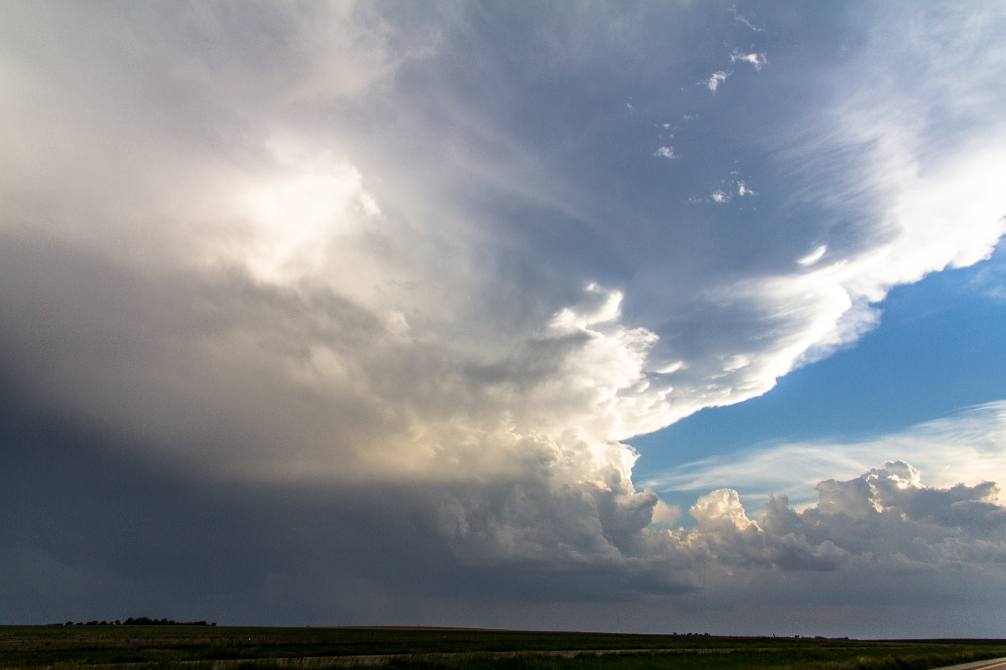
I had high hopes for northern Kansas this day, as it appeared a significant chance of strong tornadoes was unfolding. Unfortunately the capping concerns I had would hold. Morning mesoanalysis and DDC and AMA soundings were showing 25C temps with SW winds at 850mb. It seems to me the warm/dry air intrusion throughout the day strengthened the cap and kept us from seeing storms.
Nonetheless, I hung out north of Russel most of the day in a very hot and humid environment. A storm eventually did try to fire near Phillipsburg, but evaporated into nothingness shortly after initiation.
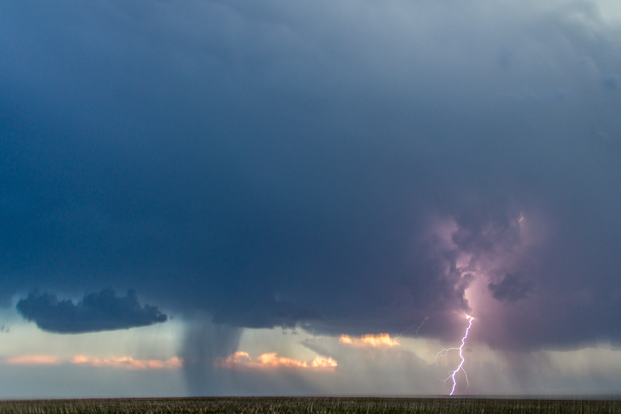
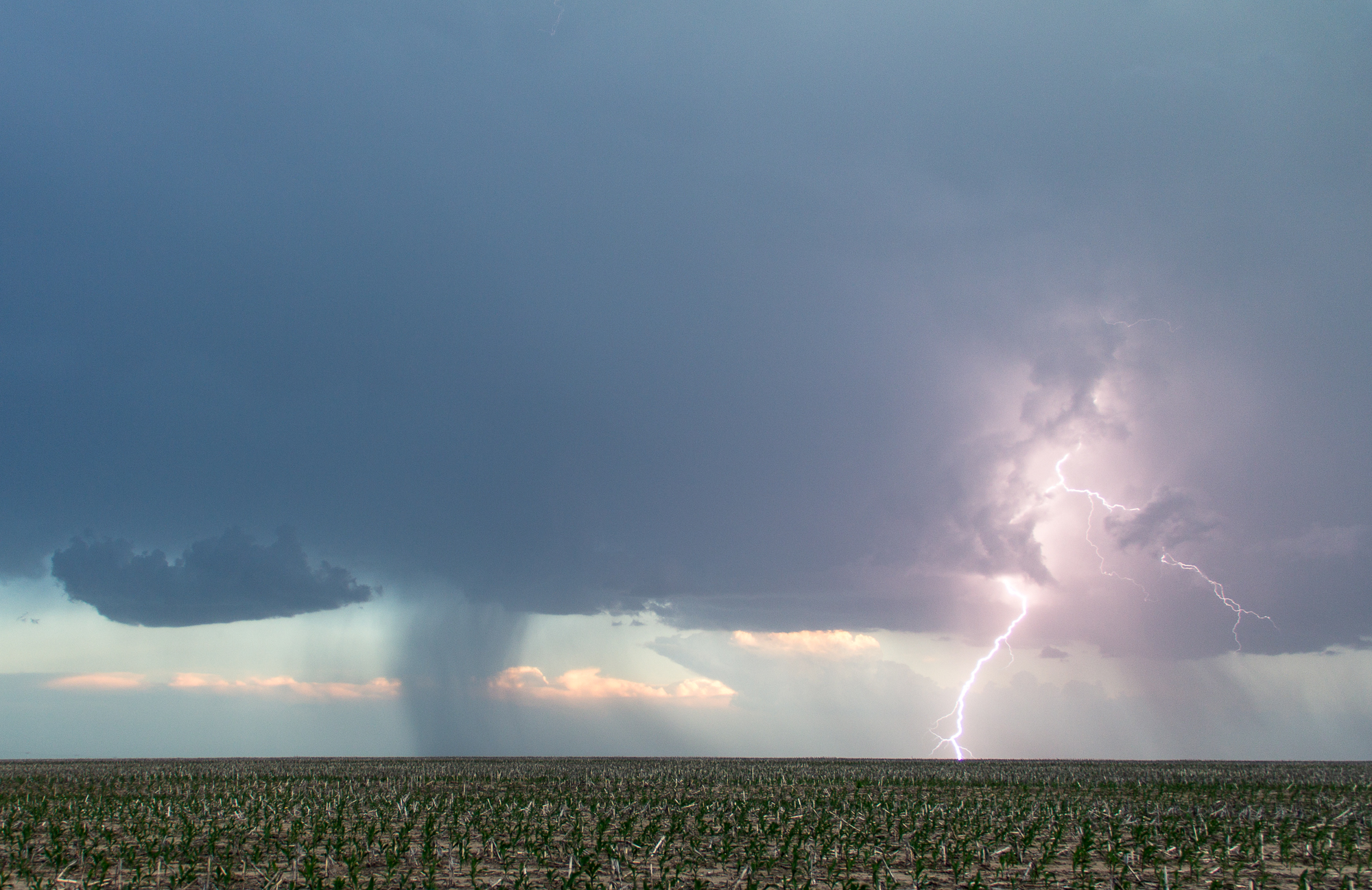
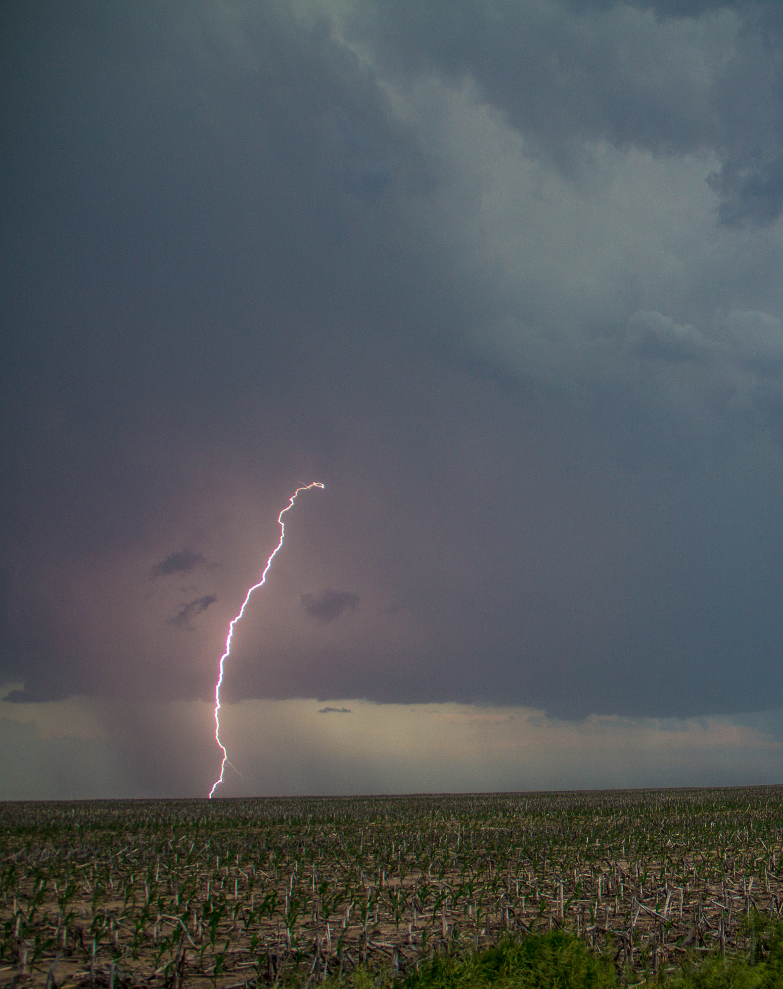
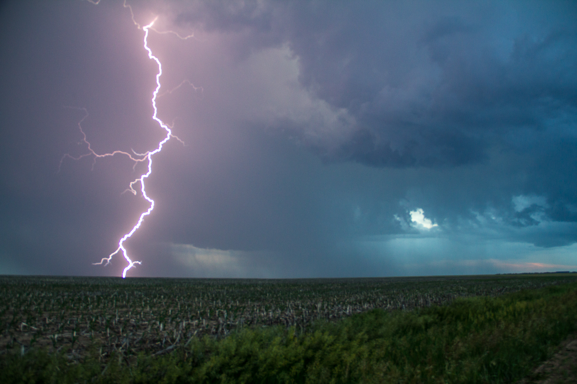
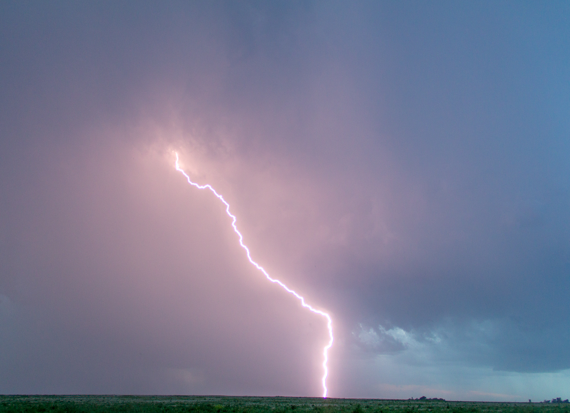
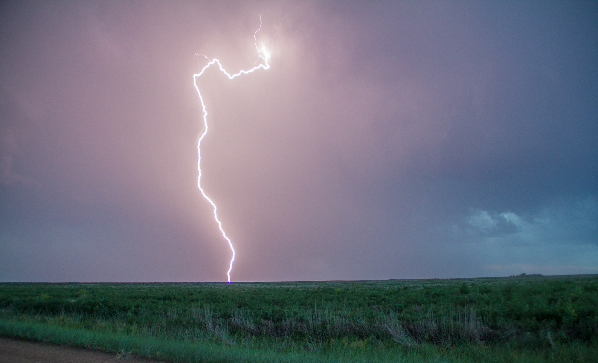
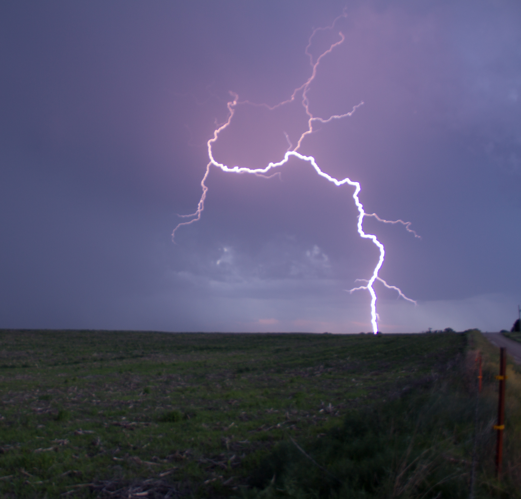
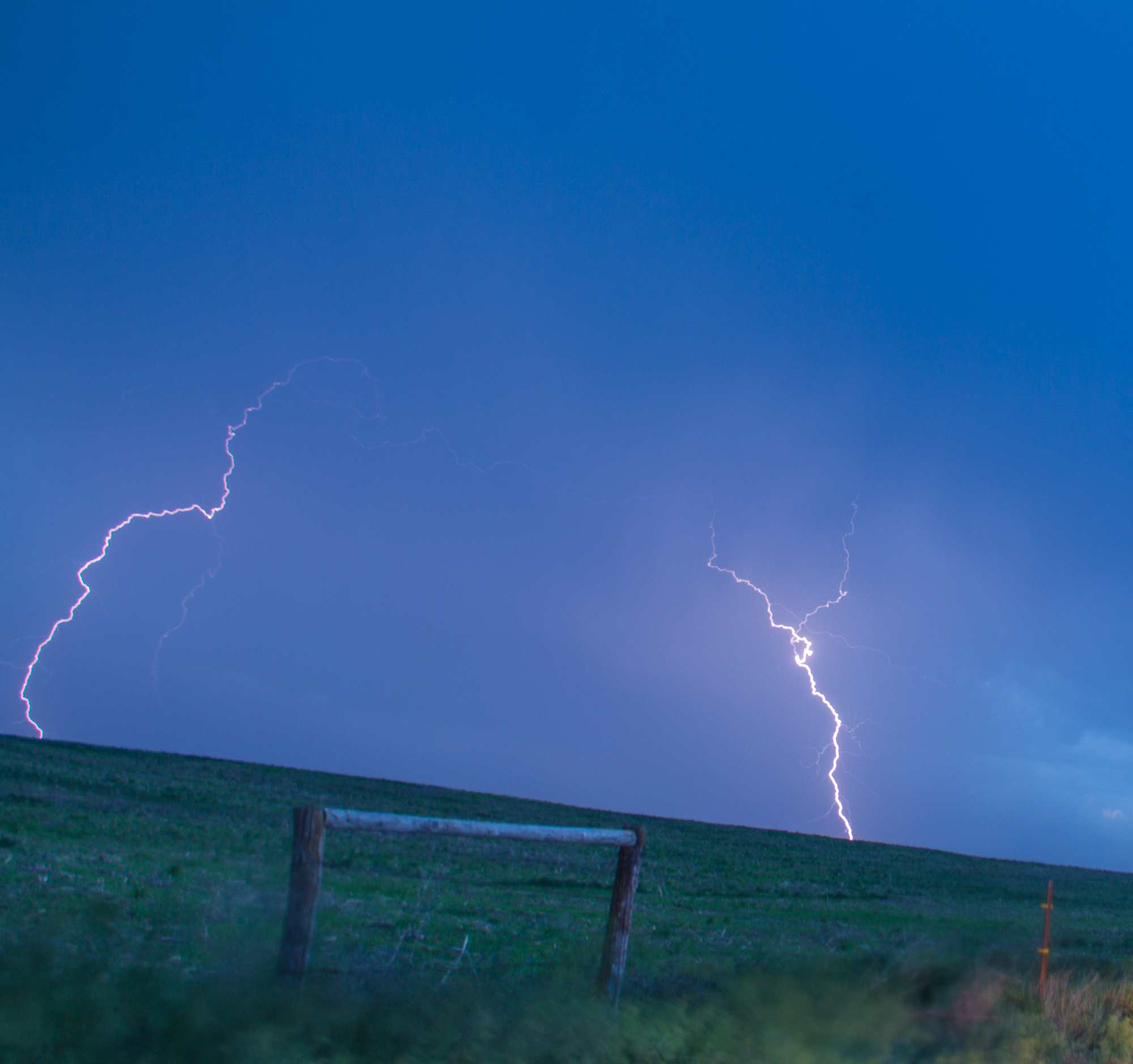
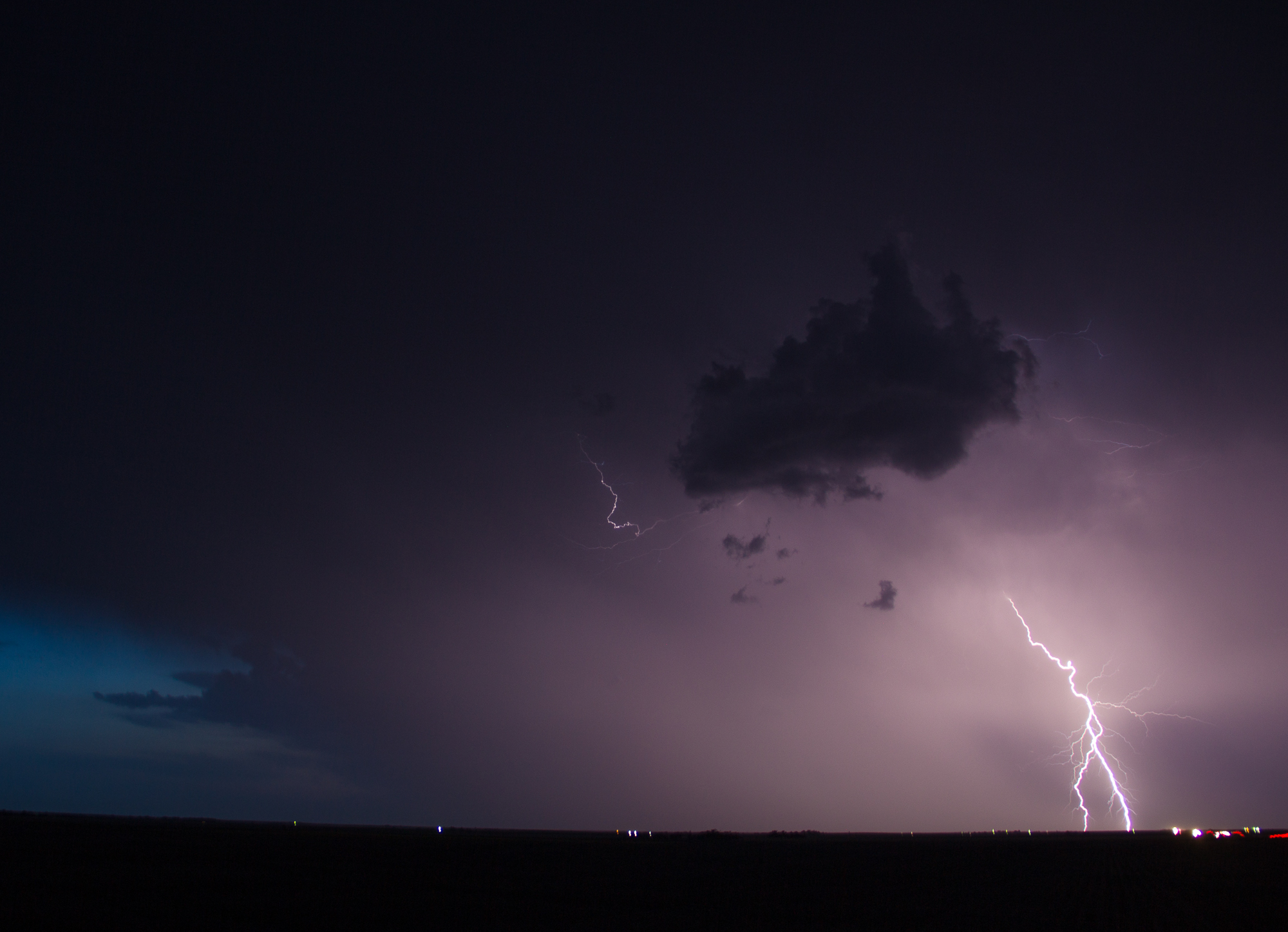
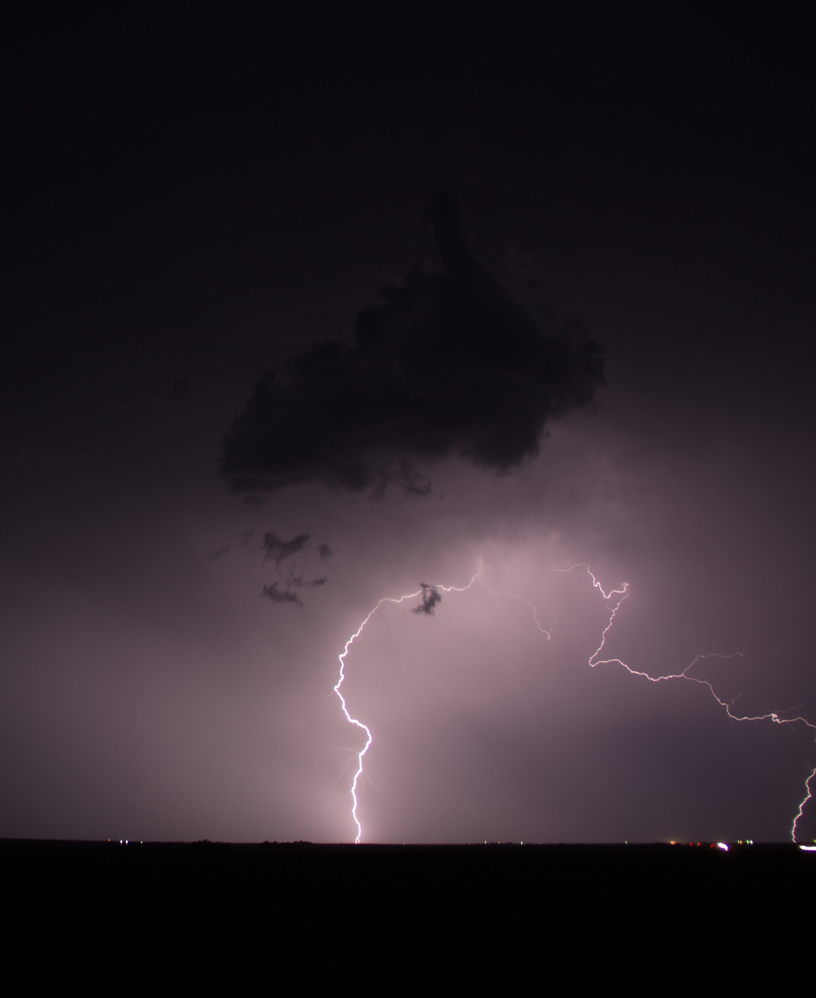
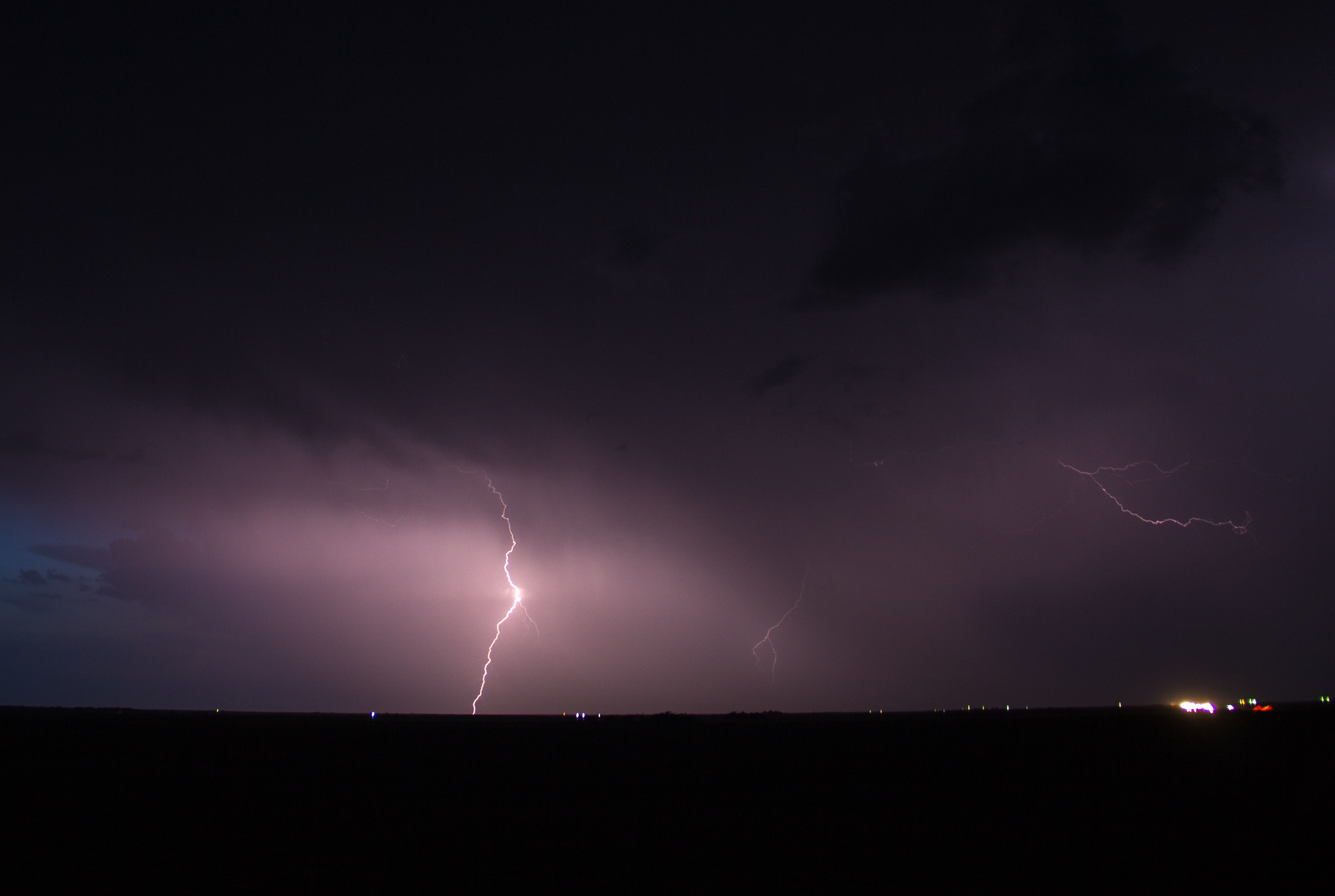
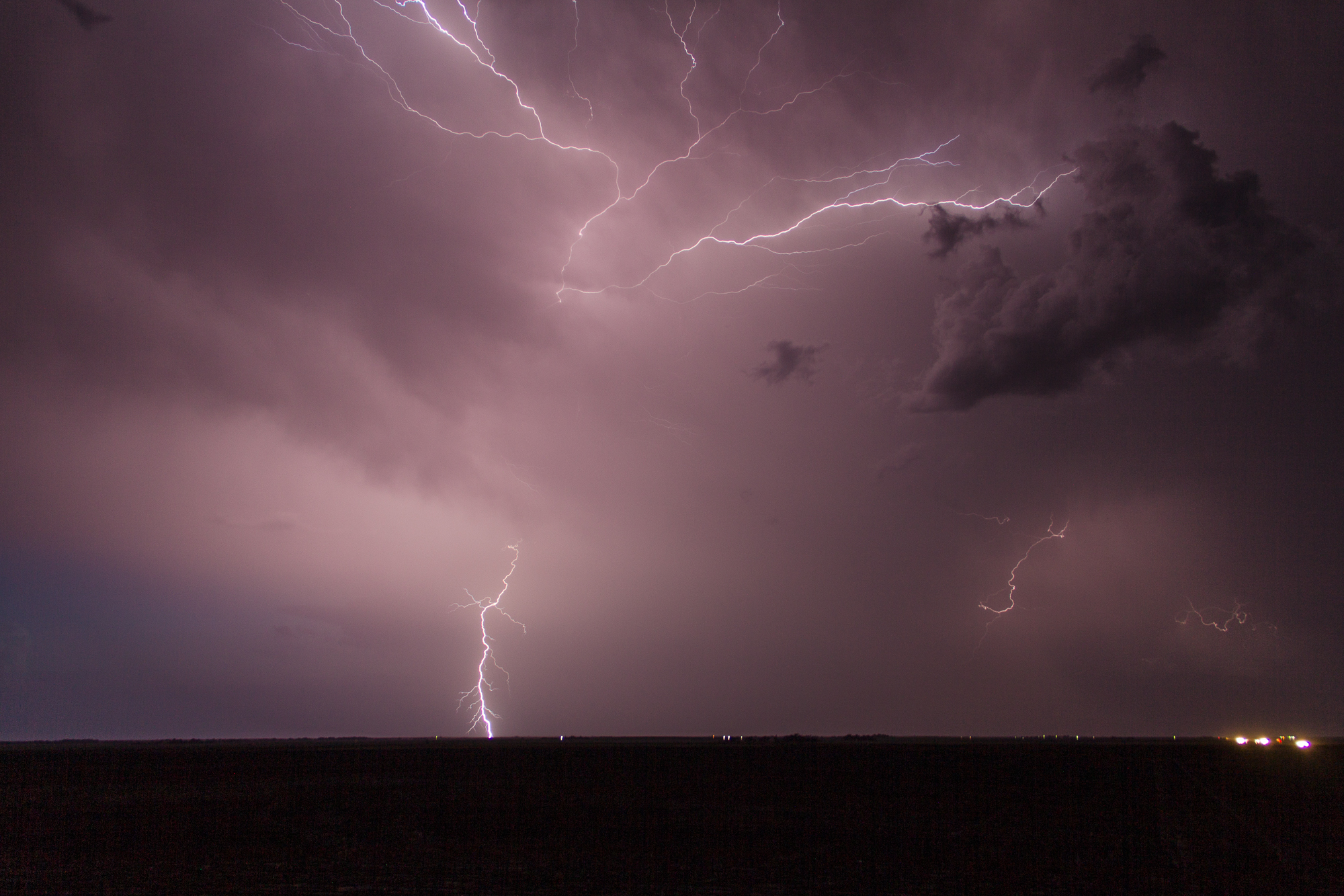
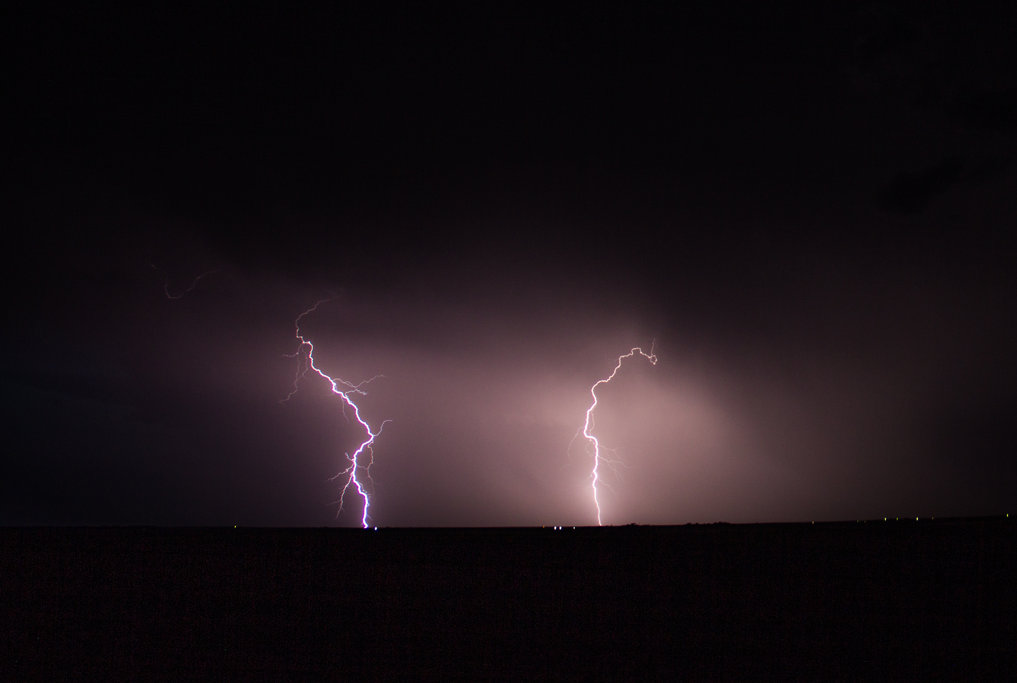
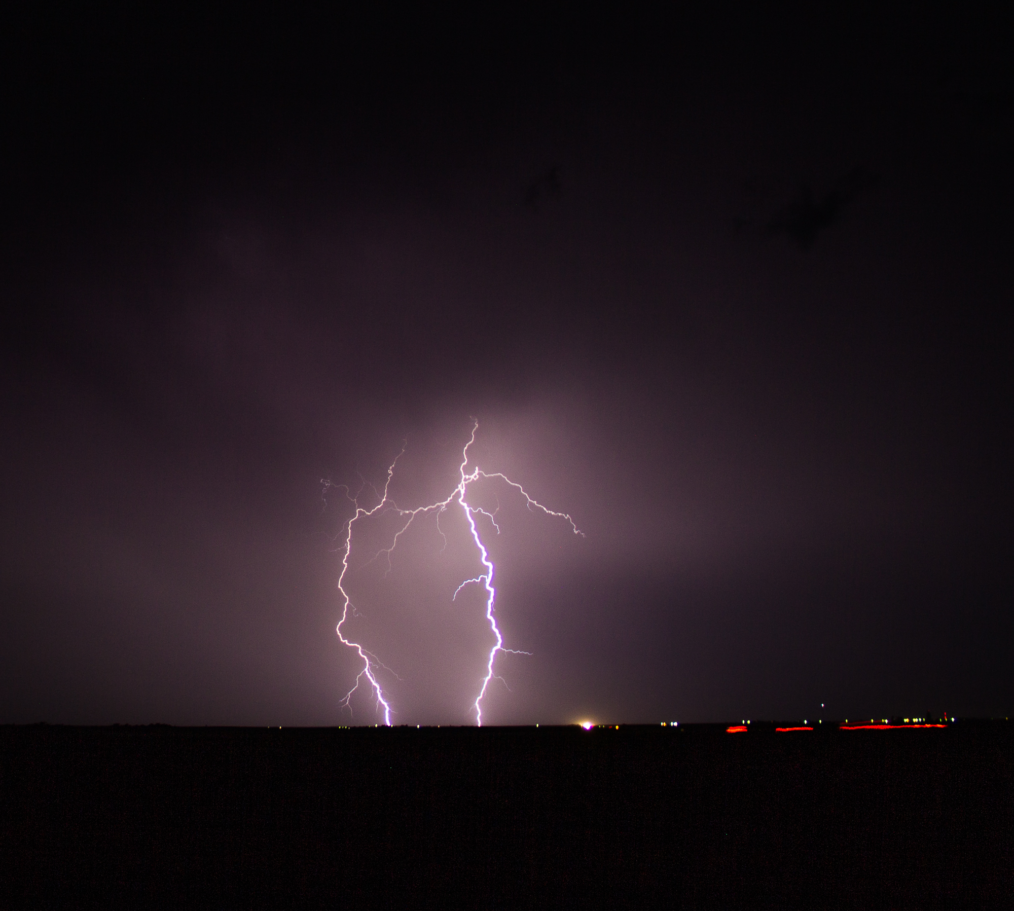
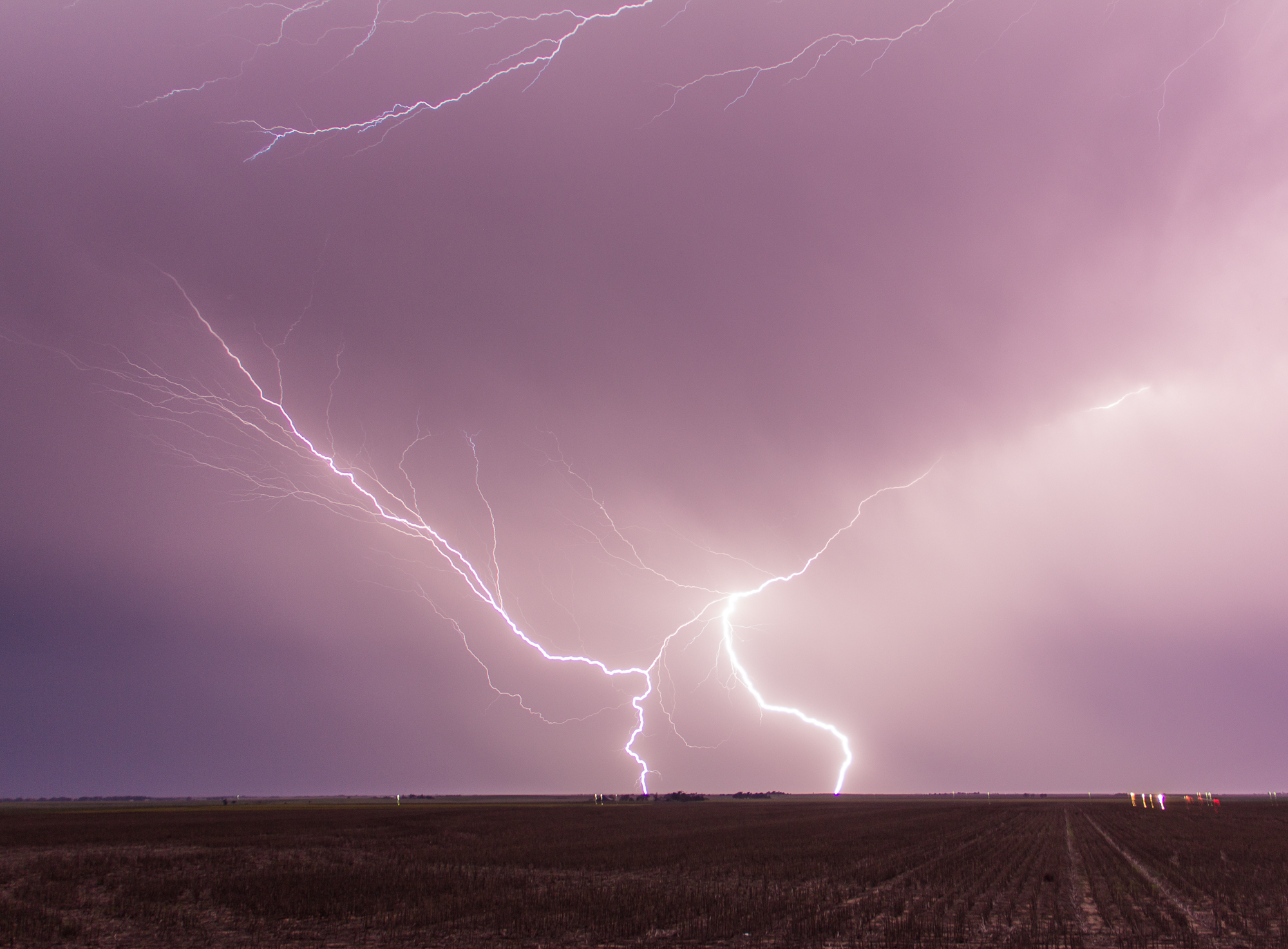
Bailing West
The dryline way to the west lit up and I bailed 90 minutes west to view one of the most spectacular lightning shows I’ve ever seen south of Quinter, KS. Unfortunately I had a melt down of equipment. Already on my backup laptop, I had forgotten my tripods and my trigger release was having issues. So I got a bunch of lightning photos, but they could have been much better had my equipment been working correctly.
It also stung to see Colorado light up with some prolific photogenic tornado producers.