Storm Chase Details
Miles Logged: 343
States Chased: OK, TX
Largest Hail Encountered: 1.00 in.
Highest Wind Encountered: 60 MPH
Severe Risks: SPC Outlooks
Severe Reports: Storm Reports
I missed the needle in the haystack tornado near Lubbock, first off. The forecast was pretty complex, and the play out by Lubbock was never in my sights. I was mostly focused in southern Oklahoma and Western North Texas along the outflow boundary.
I screwed around most of the morning and afternoon at home before hitting the road. As I traveled down I-44, I realized that I’d need to drop down US-81 to intercept the storms south of me. They looked grungy on radar and I wasn’t expecting much. I had mostly written off this day as a day to position for the setup on the 17th, which I anticipated being near Midland.
Tornado Warning
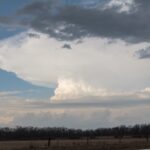
As I got through Duncan, the storms along the Red River were showing some signs of rotation. As I neared Addington, I decided to go east a bit and check out one of the storms I could see the base on. It had a wall cloud and didn’t look too bad.
Just as I started heading east, they issued a tornado warning right over me. So I did what any storm chaser would do – I hung around. Honestly, the flow at the surface was nonexistent.
Bailing into Texas
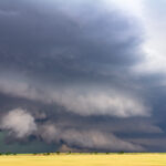
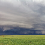
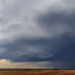
After 15 or so minutes, it became obvious to me that the storm coming in from the west would kill my storms. A shelf cloud reached across the horizon.
I routed myself to my hotel in Childress, but took a detour near Vernon to check out a couple dying supercells. A nice line of storms arrived shortly after I did in town, and I watched from the west side. Beautiful shelf cloud with lots of lightning. Great way to end a weekend.
