Storm Chase Details
Miles Logged: 404
States Chased: OK
Largest Hail Encountered: 1.50 in.
Spotter Network Reports: 1
Severe Risks: SPC Outlooks
Severe Reports: Storm Reports
This seemed to be the main event of this system, with the possibility of many supercells firing off the dryline. I also expected some convection along the warm front producing tornadoes. The SPC had outlooked most of southern and southeast Kansas with a 15% hatched tornado(kiss of death). The plan, for me anyway, was to skip the warm front and hope for something good off the dryline.
Unfortunately the dryline was oriented more SW to NE and so was the instability axis. Something I’ve really hated in previous setups. The other kicker was the 850mb winds – they were dry, hot and from the southwest. This was a concern of mine for 4-5 days out and were further amplified more when looking at the morning mesoanalysis and soundings from AMA and OUN. Our storms would be blown-dry literally, and that’s pretty much what happened.
Heading out to chase
Nonetheless, I went up to Tonkawa and waited. I decided after a short delay to head west towards the dryline just south of the warm front/dryline intersection. A tornado watch was issued as storms started to fire. There was a nice storm in Roger Mills County that I was watching. The storm a little further north near the Dryline/Warm Front intersection had my attention. I made it to Cherokee before choosing a storm. The storm near the warm front seemed to be struggling.

Heading South
As the hordes were bailing west, I went south towards the storm coming out of Roger Mills county. I arrived to the storm right as a tornado warning was issued for it. Unfortunately the base was pretty high, but I did get into some hail. The storm did eventually cycle and produced a nice wall cloud for about 5 minutes. The storm then went ahead and dissipated into thin air. Meanwhile, there were tornadoes going on up north.
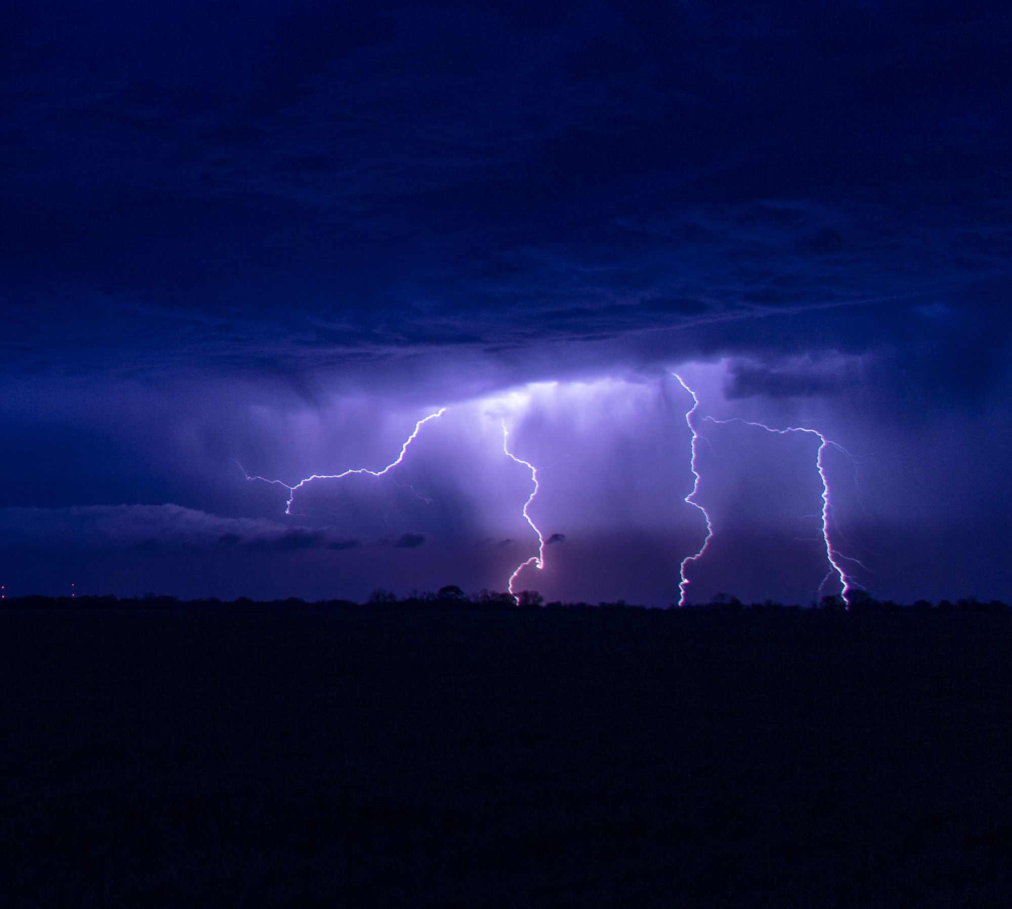
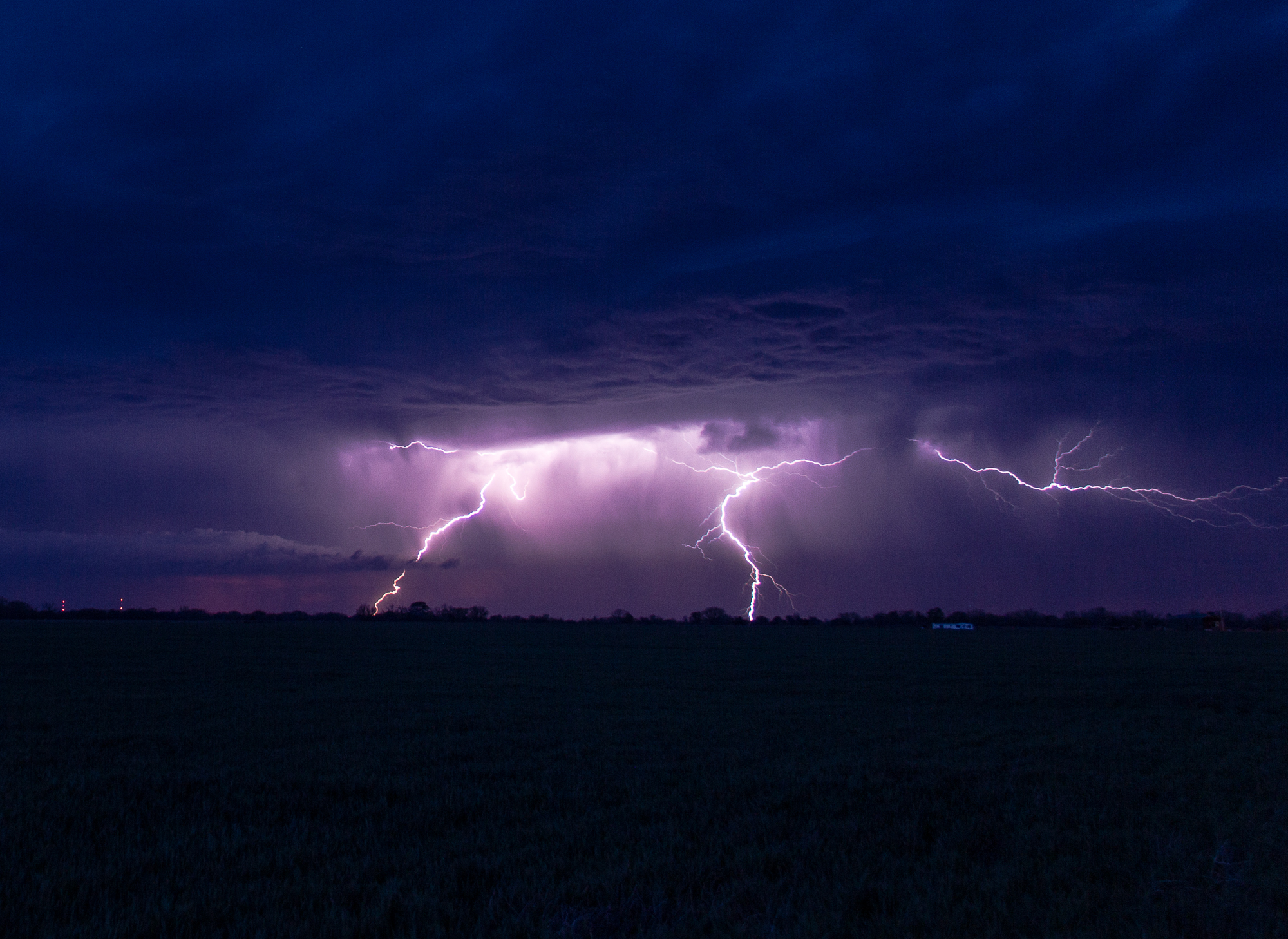
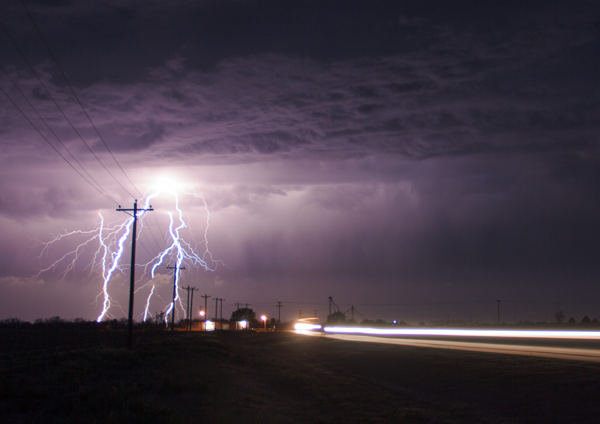
Giving up, I headed back towards Oklahoma City. JR and I stopped to take some lightning photos south of Watonga. That storm gained a tornado warning just after we finished taking photos.