Storm Chase Details
Miles Logged: 327
States Chased: IL
Severe Risks: SPC Outlooks
Severe Reports: Storm Reports
Another Illinois chase with high potential. I was already in Cleveland for a weekend getaway, so it was mostly easy to change my plans a bit and book a 1 way home from Chicago-Midway. Alamo was really awesome with letting me change my car into a 1 way rental to MDW and driving on Saturday afternoon to meet Adam in Chicago. The plan was to chase Monday and I’d fly home early Tuesday to be in Norman at work by mid morning.
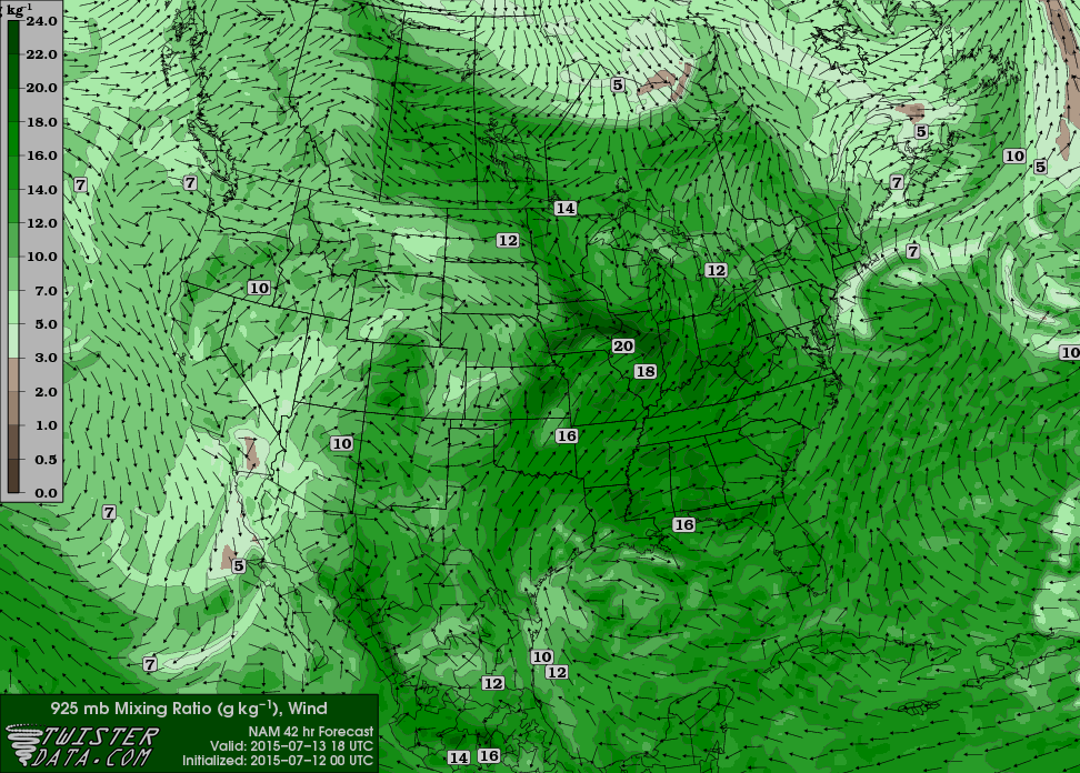
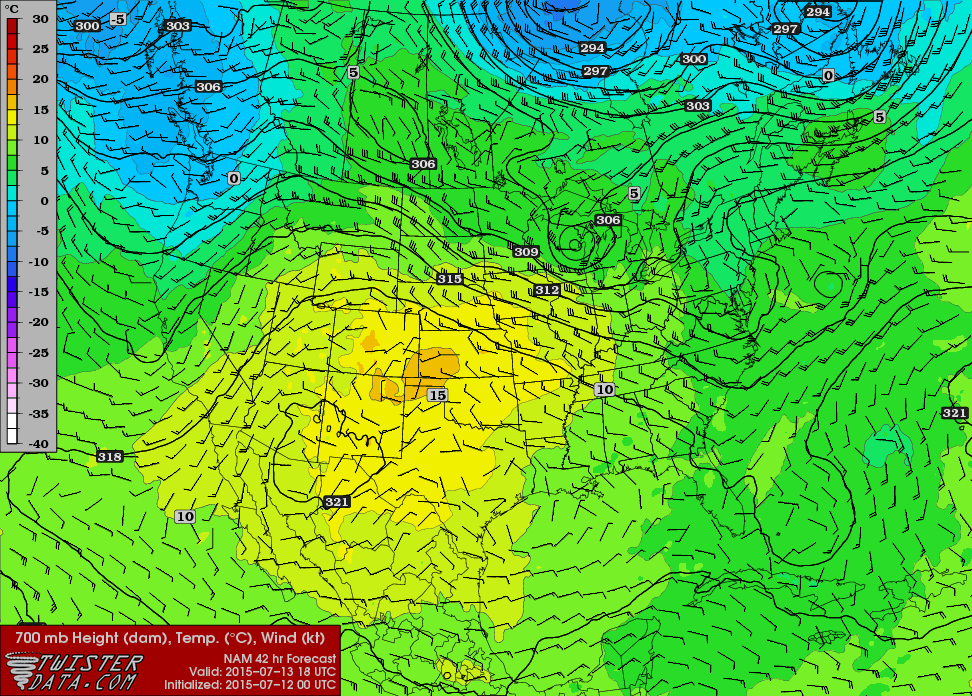
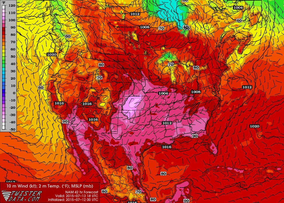
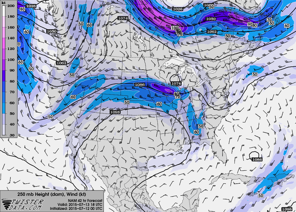
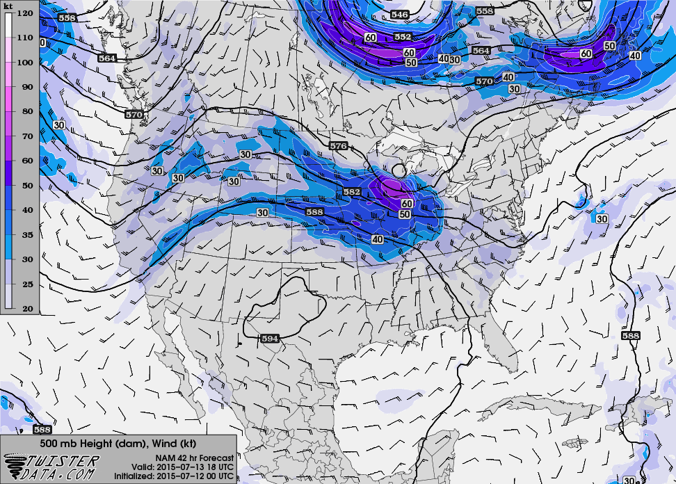
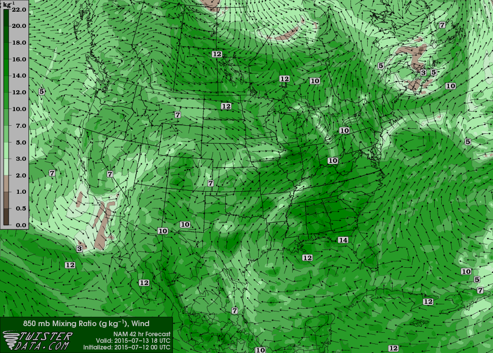
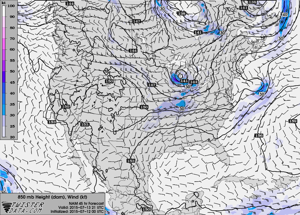
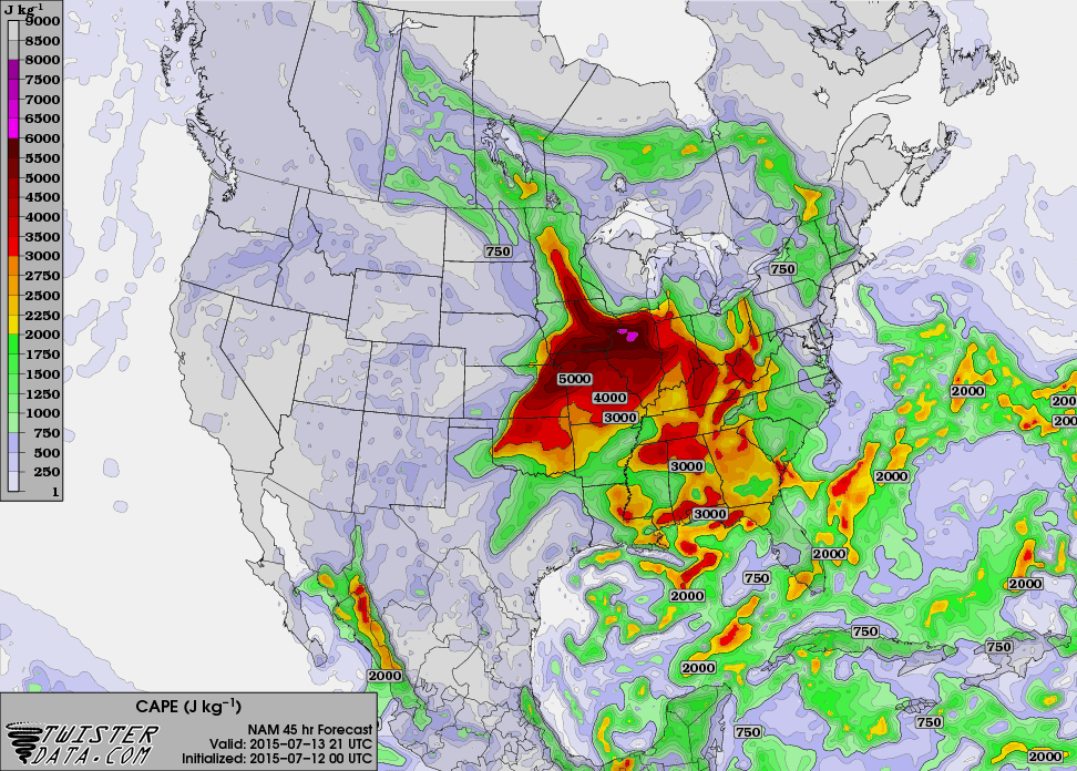
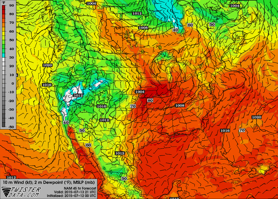
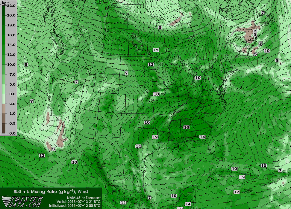
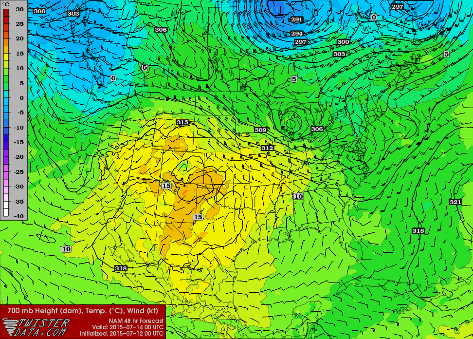
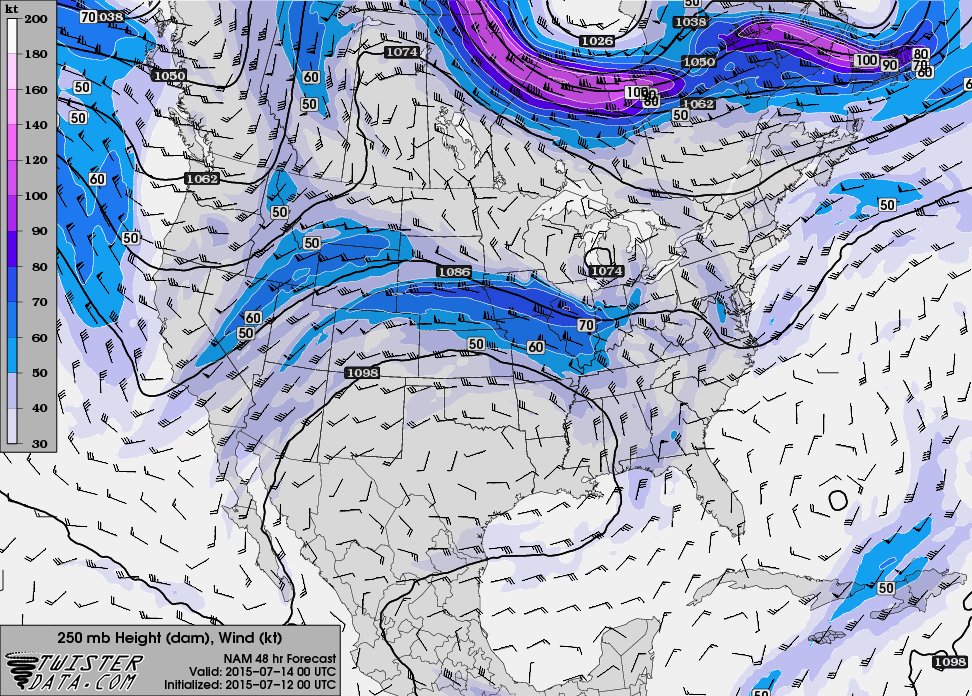
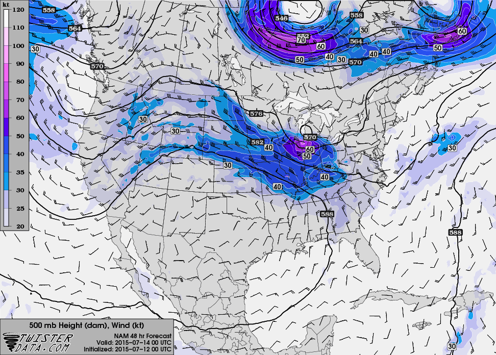
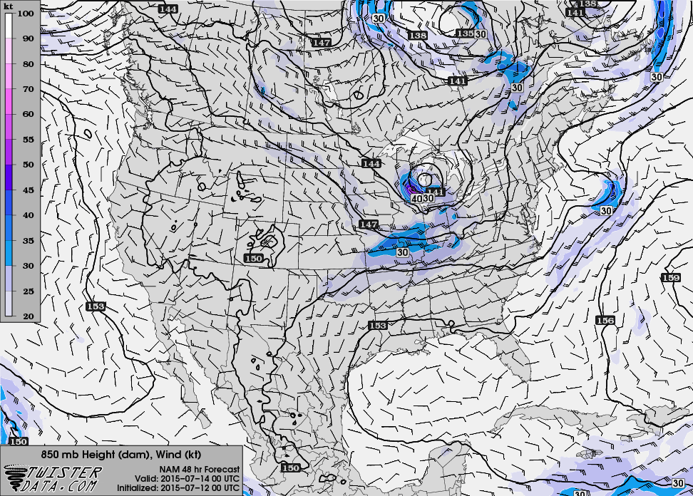
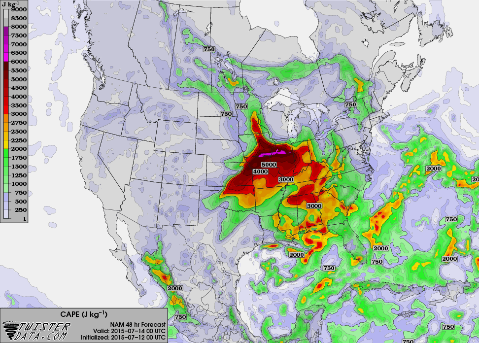
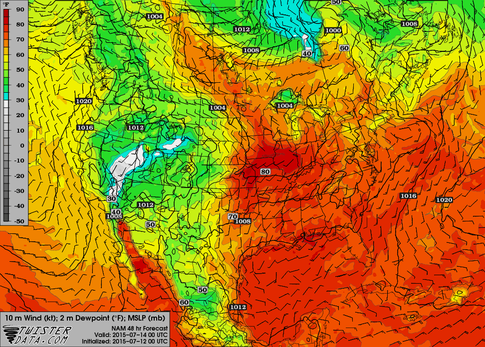
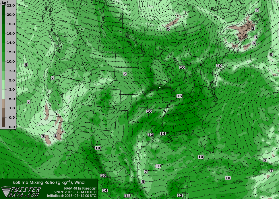
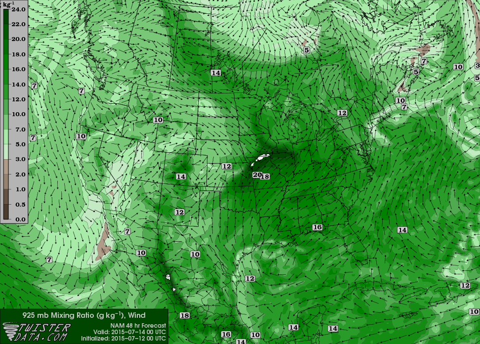
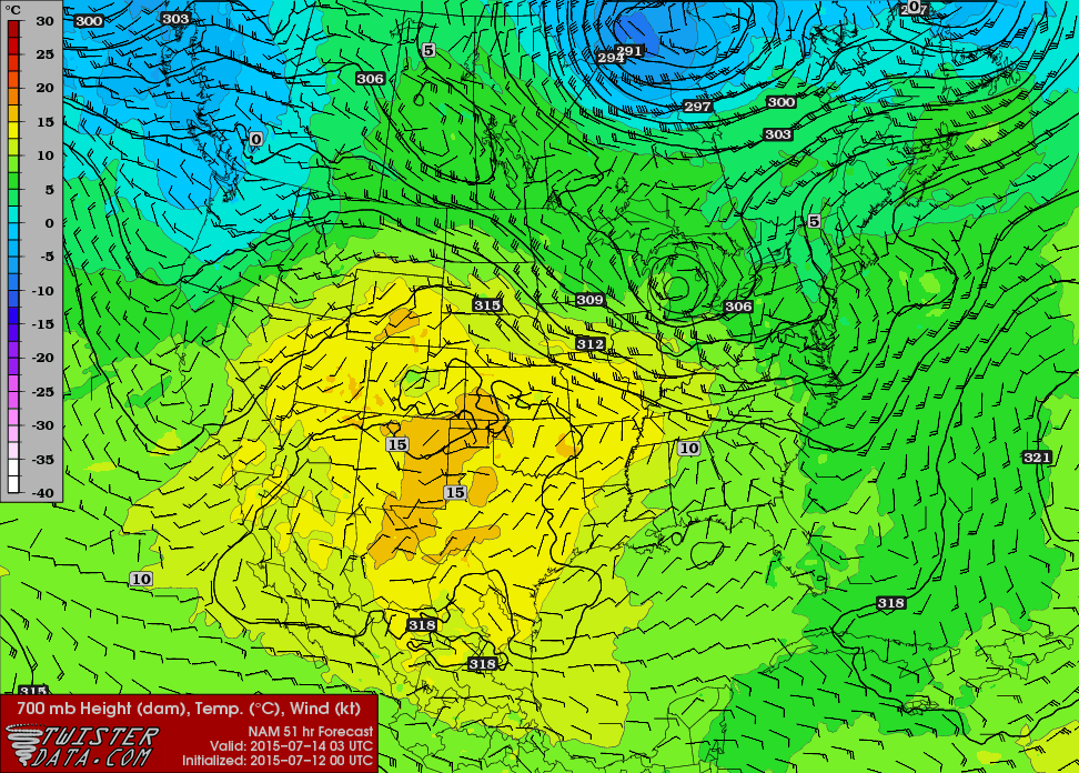
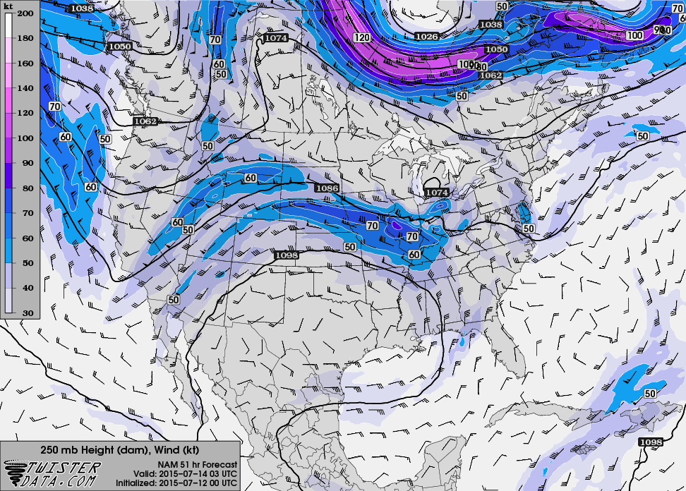
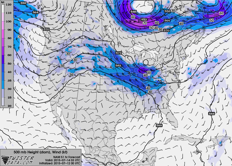
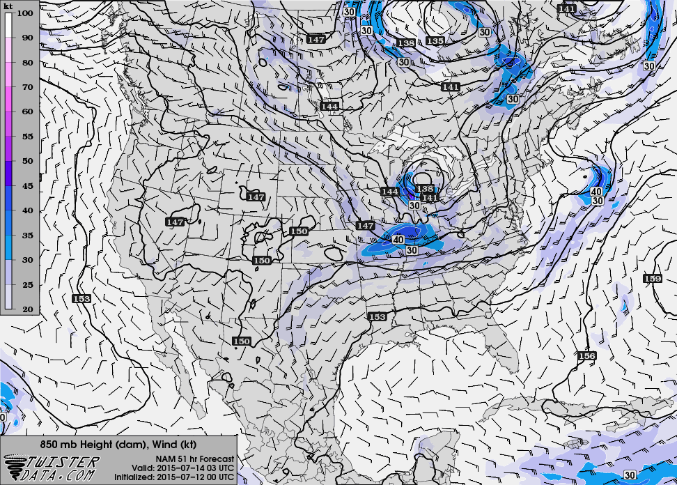
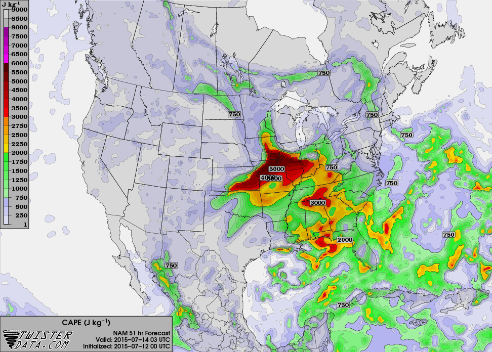
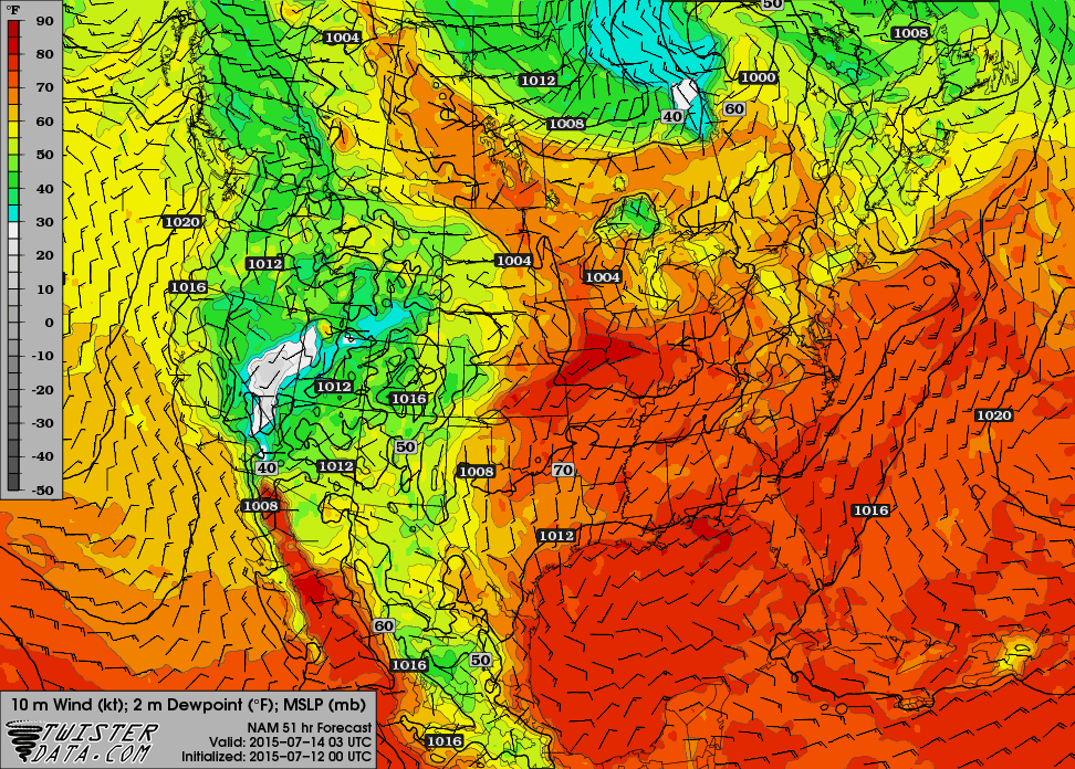
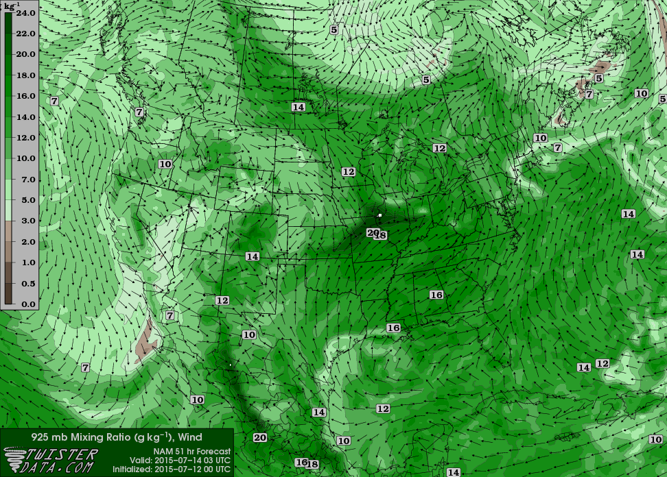
Forecast – 00Z NAM


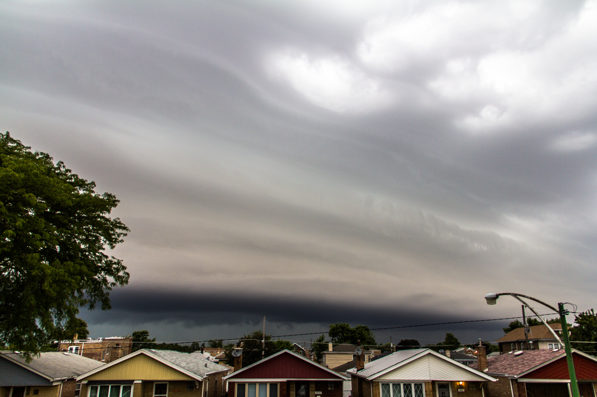
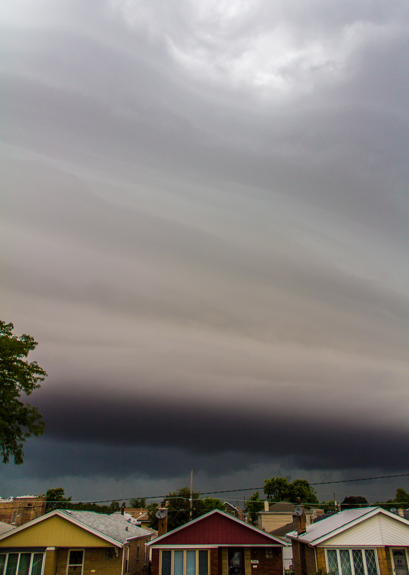
Morning Shelf Cloud
Adam cleared his schedule and we both woke up at 615 am for an approaching bow echo/shelf cloud coming through the hood in Chicago. Pretty photogenic, and I managed to get some video and pictures of it before heading back to sleep for a few hours.
After some more sleep, we woke up and got ready to head out. We were on the road before noon and headed down 55 to 80 and ended up in Princeton, IL. Ironically it was the same place I had been on June 22nd.
Adam and I decided to drift a little east to Peru where we waited. A storm fired to our east, but never looked impressive visually. So we stayed put, hoping something else would fire on the washing-out outflow boundary. The storms in Iowa were tempting, but we stayed.
I wish this is the part where I said we were rewarded, and we were on a great storm, but no tornado ever ended up coming out of it.
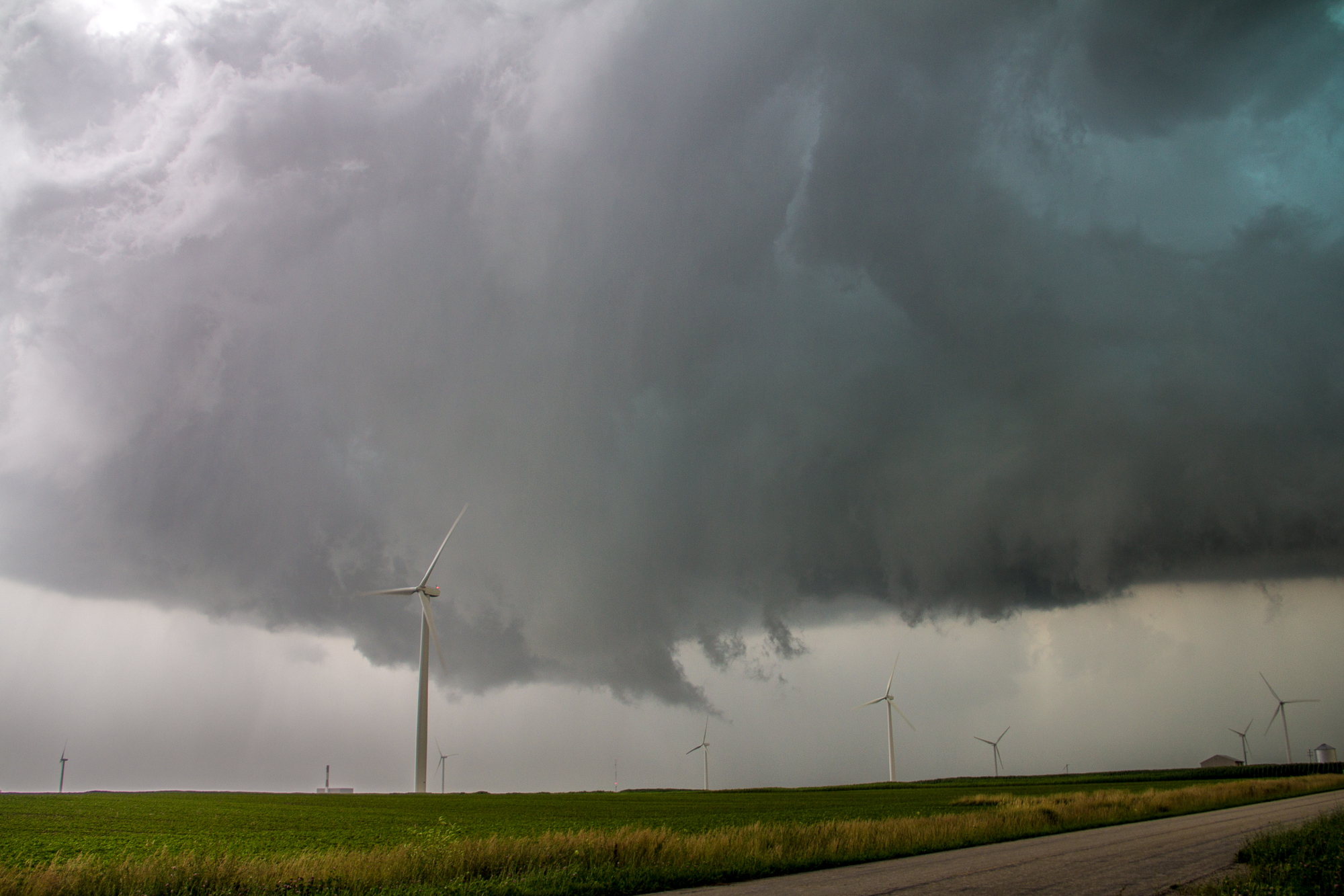
We left Peru and headed northwest to Cherry. We were on a storm as it first started showing up on radar. It looked healthy, with a leaning tower and the updraft far away from the downdraft.
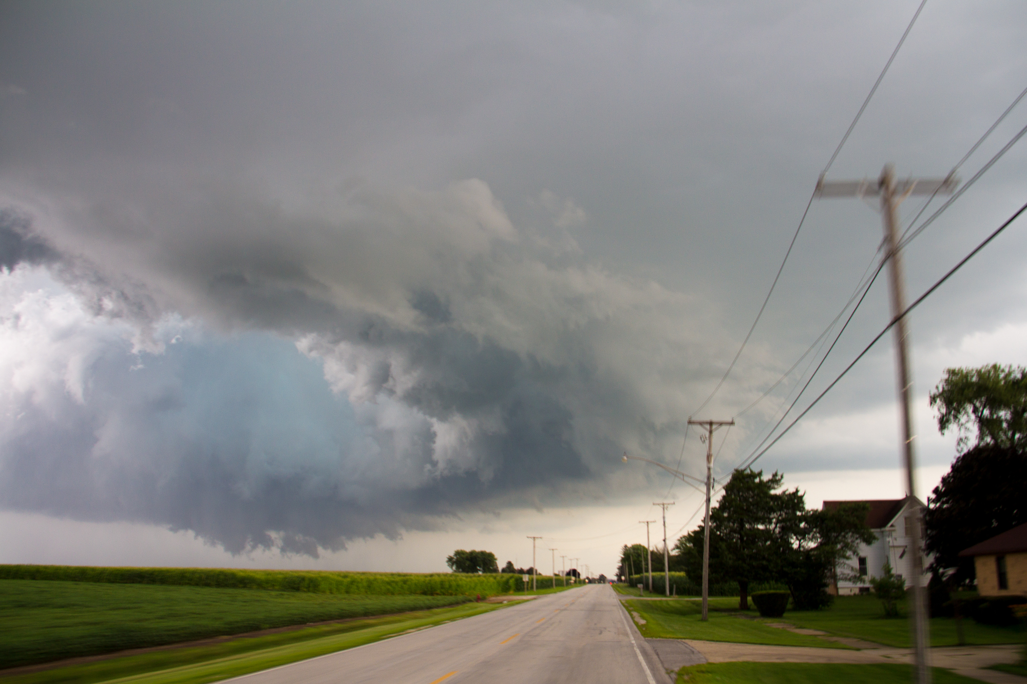
Ottawa Wall Cloud
We followed through the worst terrain and traffic ever, going through Peru and Lasalle as the storm turned a little more to the east and got organized.
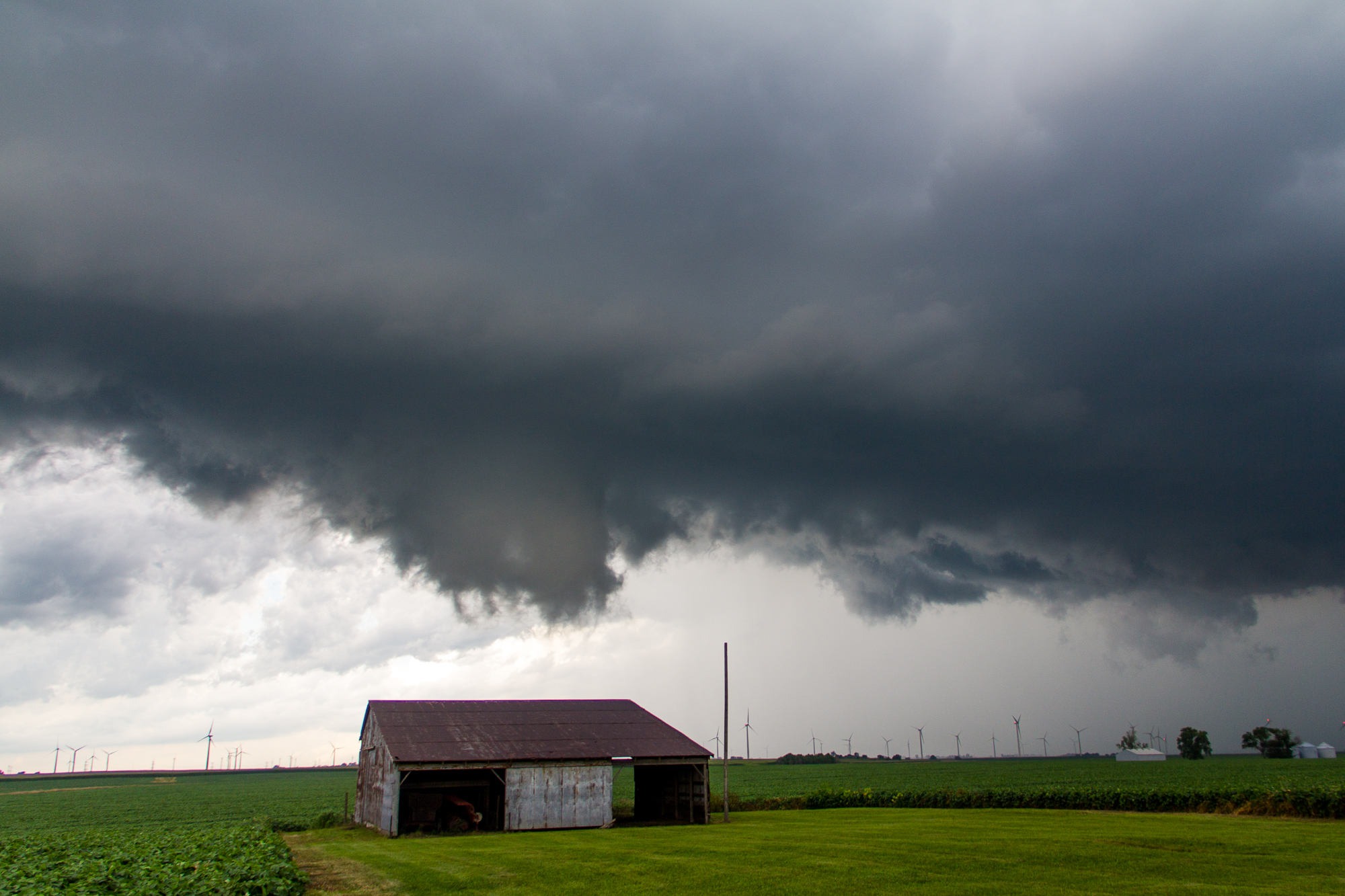
Up I-39 we headed on a course to intercept, going past the I80 exit and driving for 2-3 miles to the first exit north of I-80 as we watched a wall cloud to our west. The wall cloud wrapped up some and was showing rotation as we exited. We turned back south on some gridded roads to the east and north of Utica.
The storm took on an almost shelf looking structure and seemed to be having some serious issues with cold air under cutting, which was something we hadn’t really anticipated. It was still a really nice supercell and got a better look on radar as we drove through Ottawa.
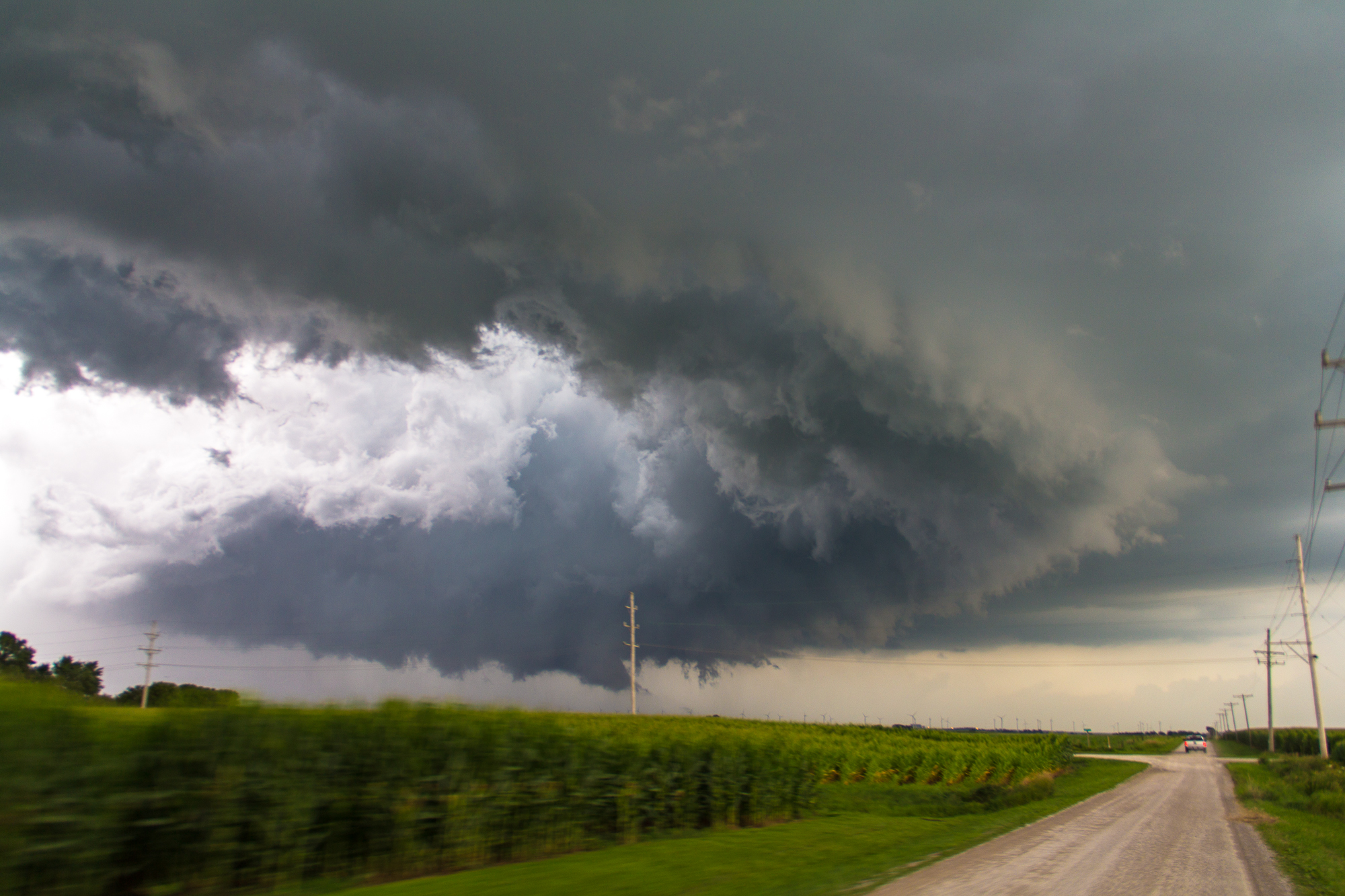
Finally out on the south side of Ottawa we were able to get a better look, and the storm had decent structure. It had a nicely formed RFD cut and a wall cloud which cycled 3-4 times for the next 45 minutes as we followed southeast towards Dwight.
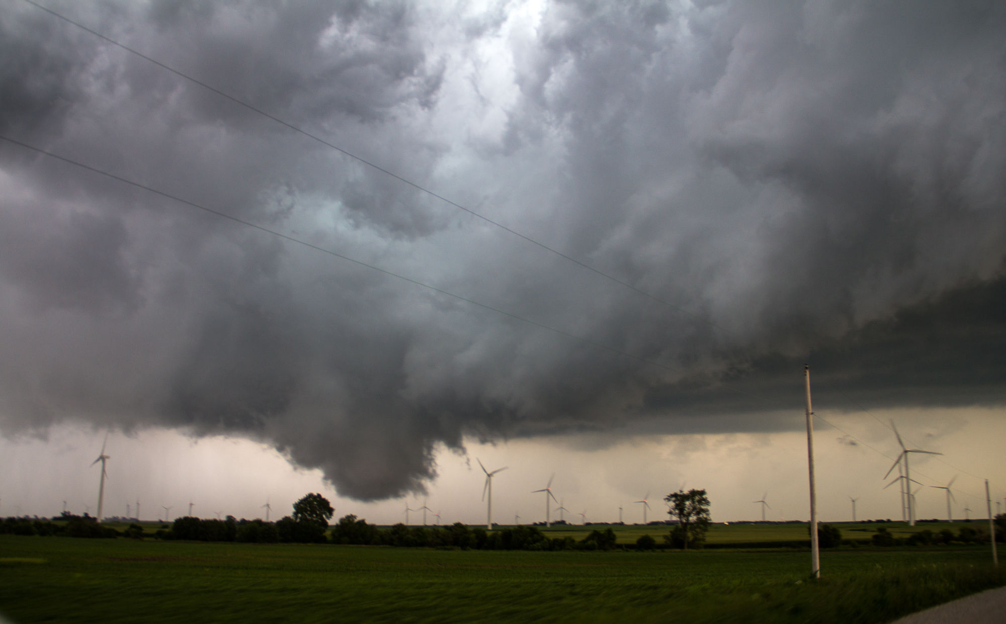
Bust

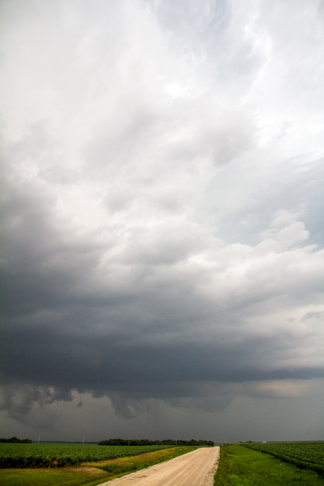
We ran into Connor again, and went into Dwight where it seemed most people were convening. The storm wasn’t even severe warned at this point and had no lower level structure to speak of.
Eventually Adam and I decided to call it near Kankakee where we stopped at an Italian food place before heading back to Chicago.


