Storm Chase Details
Miles Logged: 514
States Chased: TX
Tornadoes Witnessed: 1
Largest Hail Encountered: 4.75 in.

Spotter Network Reports: 5
- Hail 3 miles W of SHANNON, TX
- Hail 3 miles W of SHANNON, TX
- Funnel Cloud 1 miles E of BUFFALO SPRINGS, TX
- Funnel Cloud 2 miles WNW of JACKSBORO, TX
- Other 1 miles NNW of BRIDGEPORT, TX
Severe Reports: Storm Reports
This was the day of not being able to make up my mind. Looking at models the day before, I really thought we’d want to be on the dryline out by Lubbock. We drove to Childress on the 18th in preparation to chase in west Texas on the 19th.
Morning Forecast
I woke up on the 19th with a really complex forecast. A warm front was just to the north of us in Childress, extending northeast towards Oklahoma City metro. There were outflow boundaries to the east and a dryline to the west by the New Mexico border.
Tornado Watch across Southern Oklahoma
Early in the afternoon the SPC issued a Tornado Watch for Southern Oklahoma and North Texas in vicinity of the warm front. A storm fired near Childress and started moving off to the east. Bill followed this storm, and so did we. I was quickly discouraged by it’s multicellular look on radar and visually elevated presentation. We decided to sit tight. Meanwhile, tornado warnings kept coming in from the OKC metro area and even reports of a brief tornado near Purcell.
Sitting in Paducah
We sat near Paducah for a long time, torn between west and east targets. Storms were ongoing to the east and becoming more organized. There was even a tornado warning. Cumulus to the west along the dryline was struggling. I finally made the decision to head east, and we began our journey east.
Windthorst Storm
As we passed through Windthorst, we got onto our first storm of the day. It was dropping sporadic very large hail, some close to baseball sized. While collecting stones and photos, I managed to collect a tennis to baseball size stone on my shoulder. After some expletives, I managed to regain composure and continue east. We measured the biggest stone at 3.75″.
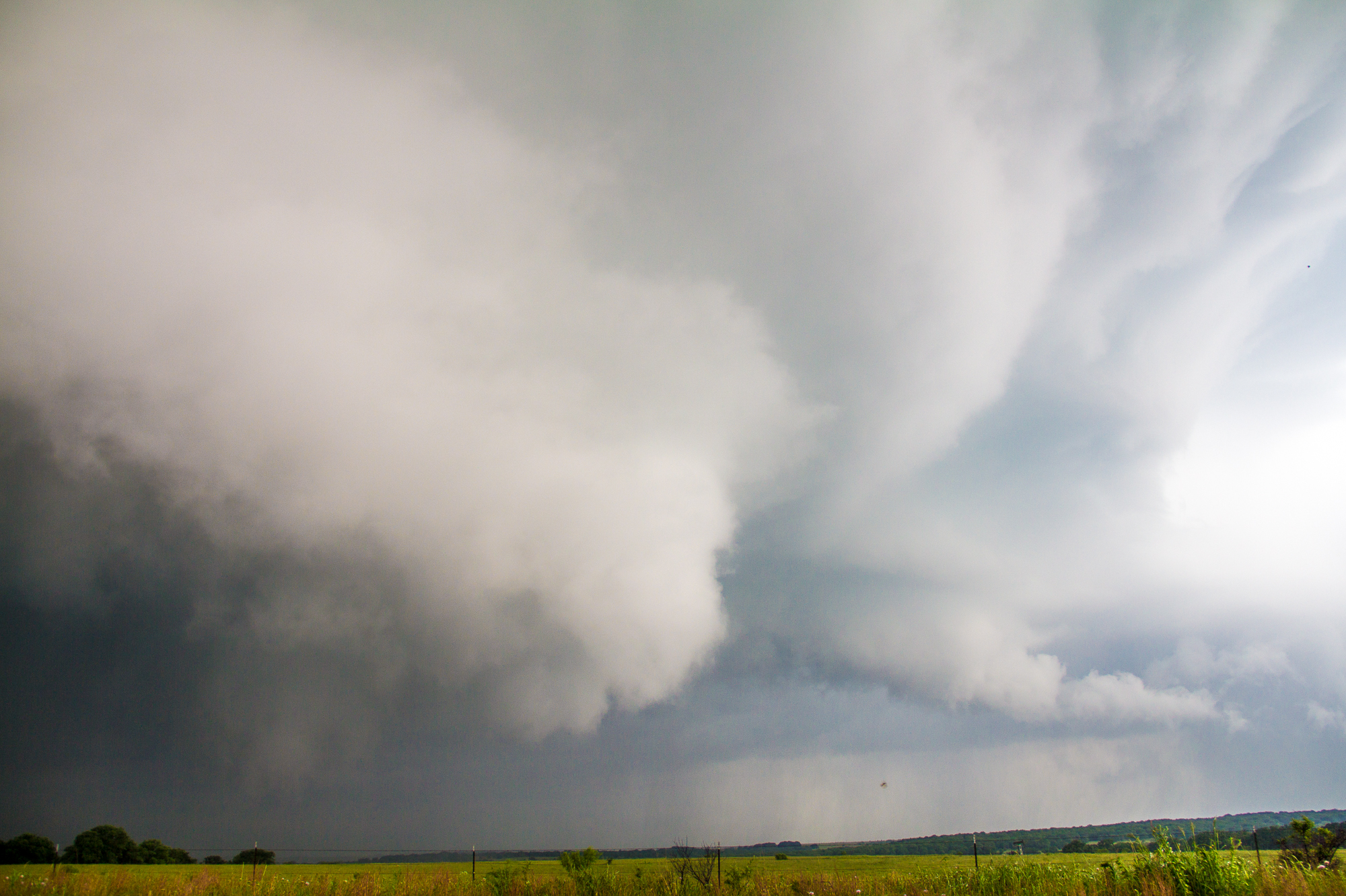
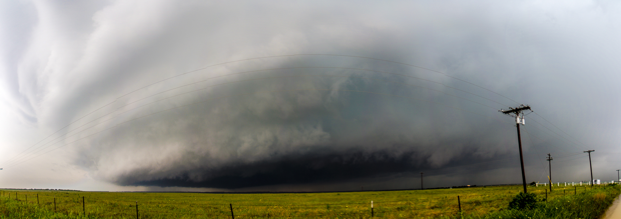
Buffalo Springs Texas Tornado
As we continued east, we came to highway 148. We turned south at first, but I was unable to find a view. The hills and trees are kind of thick in this part of North Texas. I turned around and headed back north, eventually finding a decent view.
We were rewarded with a nice front lit white cone tornado. The tornado was brief, but we were able to get video and a photo. The structure of the storm was quite pretty with beautiful striations.
Dropping South to Mineral Wells storm
As we went through Buffalo Springs, we decided to give up on the storm. Confirmed tornado reports were coming out of a storm to our south near Mineral Wells. As we dropped south, we were never able to get in a safe position to observe the storm. The storm was soupy from our vantage point, so we headed back north towards Jacksboro. Night time was quickly coming, so we tried to get on one last storm.
We rode out the rain and wind on 148 and then headed to Dairy Queen in Jacksboro to get food. It became quickly apparent we would not be getting food there as they were swamped. The only other open place to get food was Allsups, so burritos we had.
As we were in Allsups, phones started going off with a weather warning. I figured it was ‘just’ a flood warning, but it was another tornado warning. This time, just to the southeast of the city along US380.
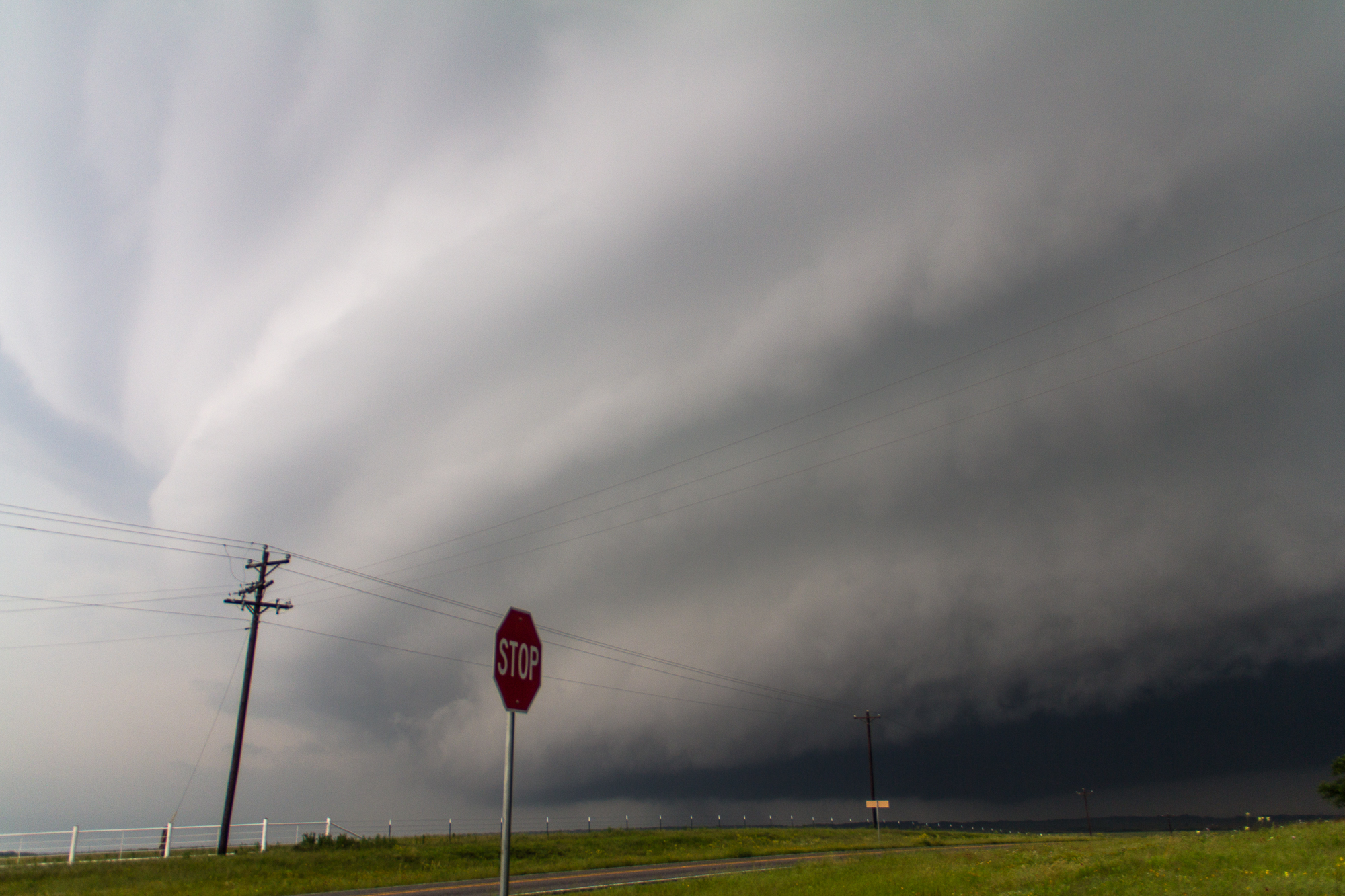
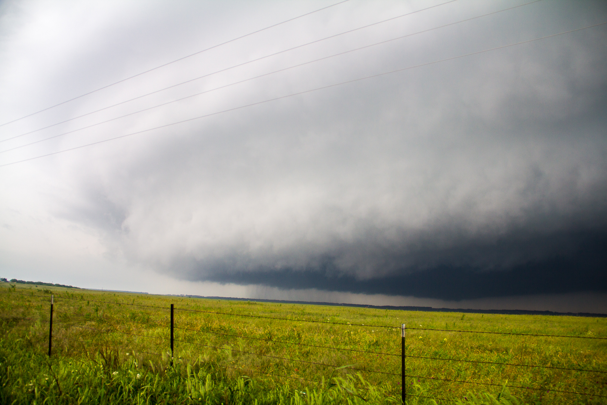
Runaway Bay and Bridgeport Storm
We’d spend the next 2 hours trying to get through the storm along 380. We spent a lot of time in the RFD of the storm, but we were never able to get back into clear air. Eventually we found clear air near Decatur and had a clear view to the west of the wall cloud. Not much else happened as we returned home along I-35 once getting to Denton.


