Storm Chase Details
Miles Logged: 737
States Chased: TX
Tornadoes Witnessed: 2
Largest Hail Encountered: 1.00 in.

Highest Wind Encountered: 70 MPH
Spotter Network Reports: 2
Severe Risks: SPC Outlooks
Severe Reports: Storm Reports
The Matador Texas Tornado would end up being one of the best chases of my 2023 season, with multiple tornadoes in Motley and Dickens counties in Texas.
Morning Forecast
Not much of a morning forecast at first. SPC had a slight risk up with a 0% tornado for the Texas Panhandle in the morning outlook. They upgraded to a 5% tornado at 11:30, which got my attention and caused me to take a closer look. For multiple days, we had been in an active pattern both weather wise and at work.
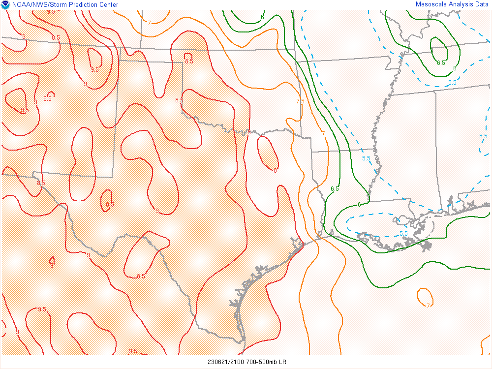
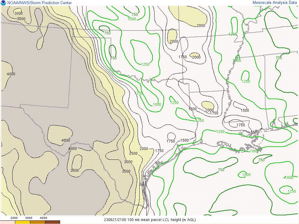
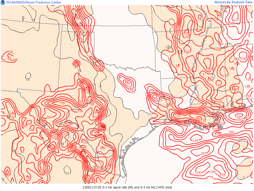
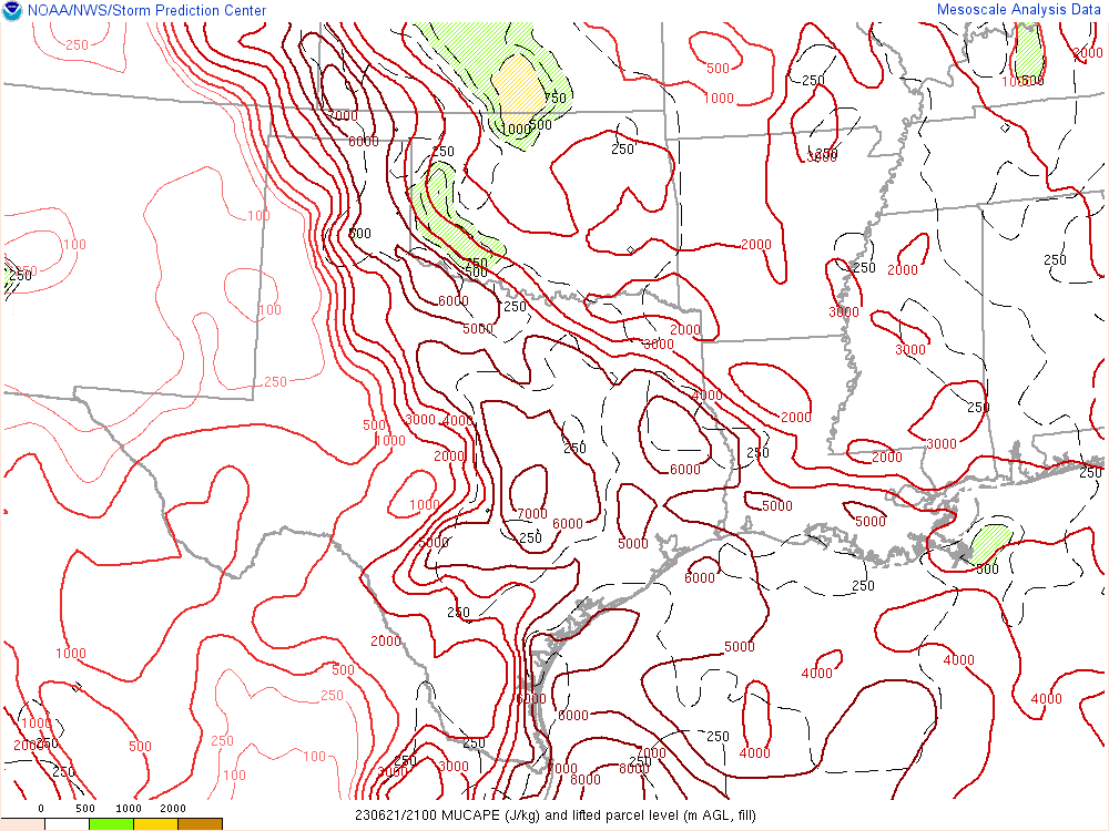
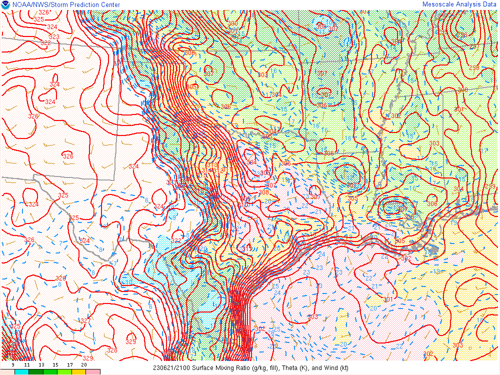
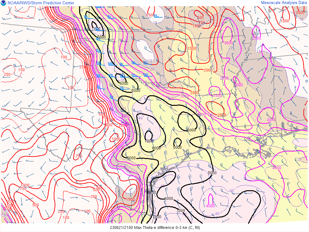
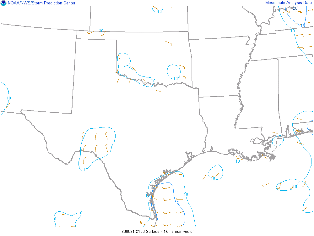
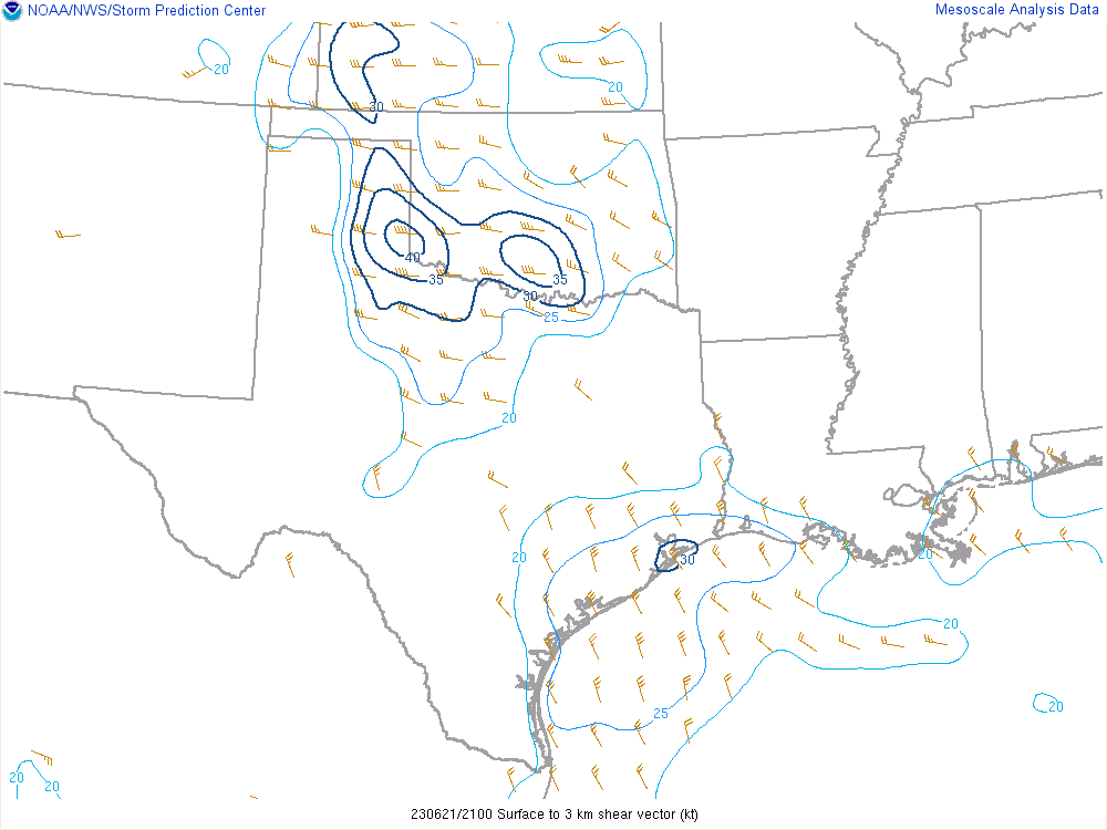
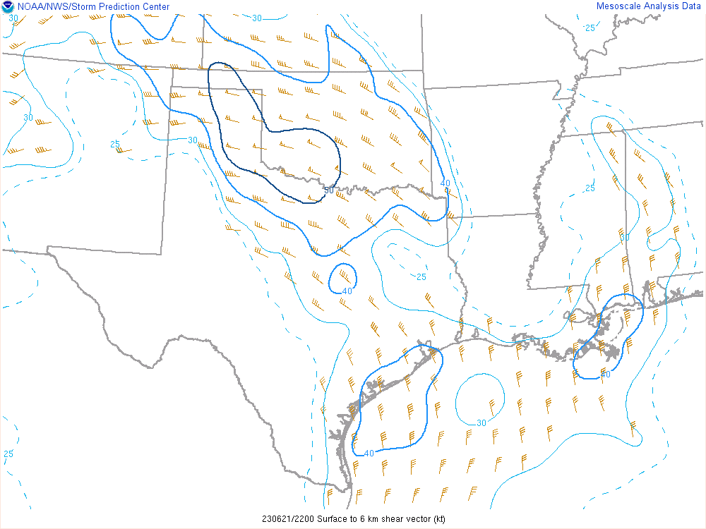
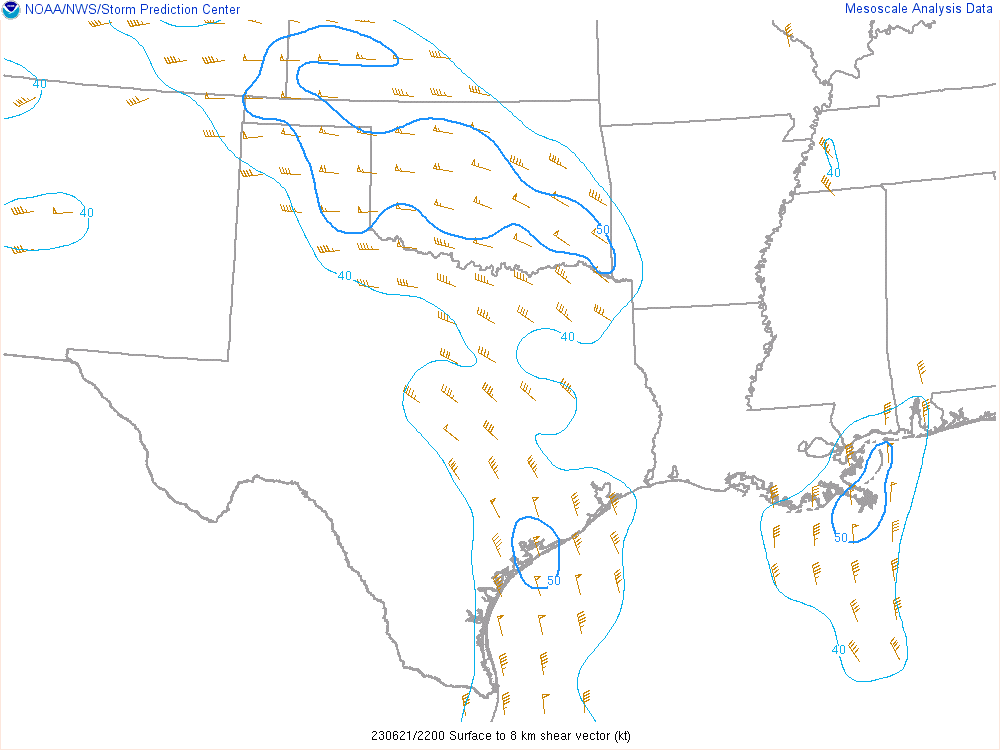
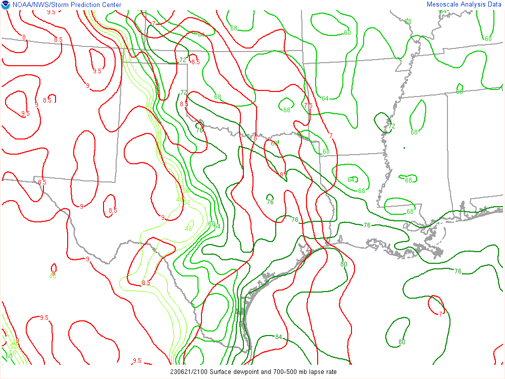
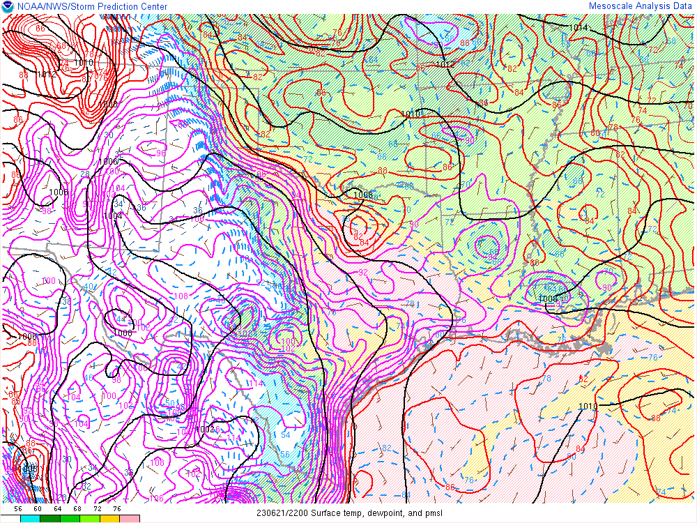
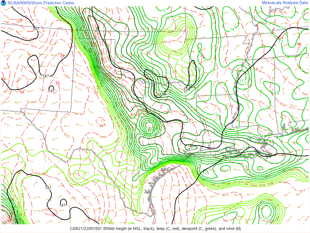
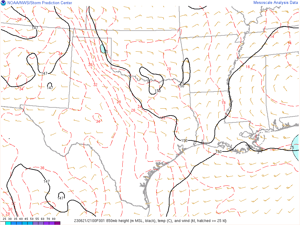
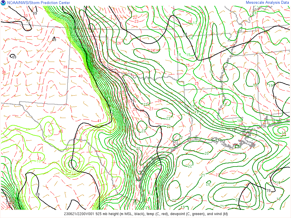
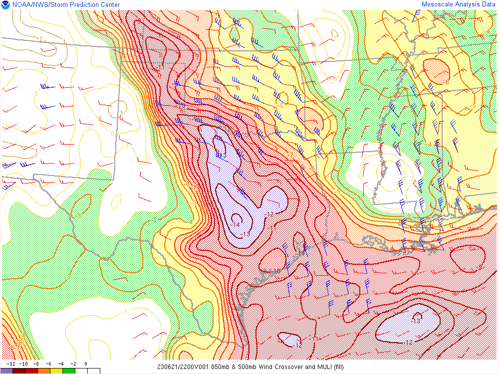
After digging into the observations and models, I decided that I needed to get on the road. Adam had nowhere to be, so he came along. We had very good moisture pooling along the caprock in the Texas Panhandle as well as easterly surface winds. Minimal storm level winds, but high CAPE and a decent 0-6km shear vector. A strong dryline was setting up, with dewpoints in the 70s east and in the 40s west of it. Between visible satellite and observations and radar, I figured we’d be able to pick off a storm.
We headed west on I-40, getting lunch in El Reno and going around the construction zone. I made an executive decision to head north and west at Exit 108. We ended up heading towards Seiling before heading west towards Texas. It was Deja Vu for me, as I had literally taken the same route on Saturday the 17th.
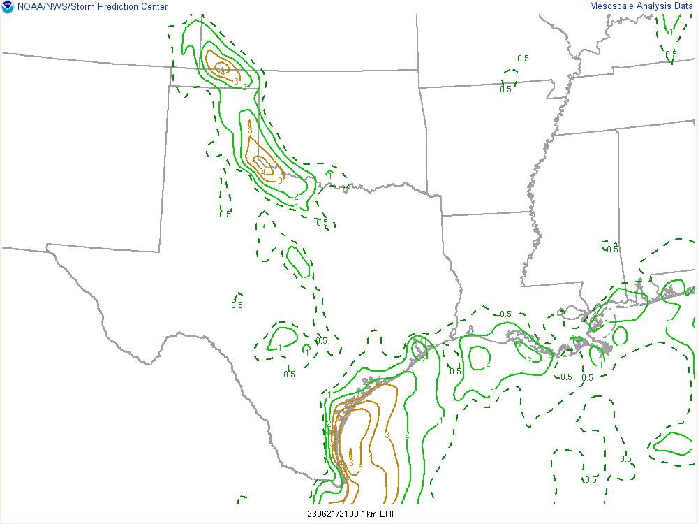
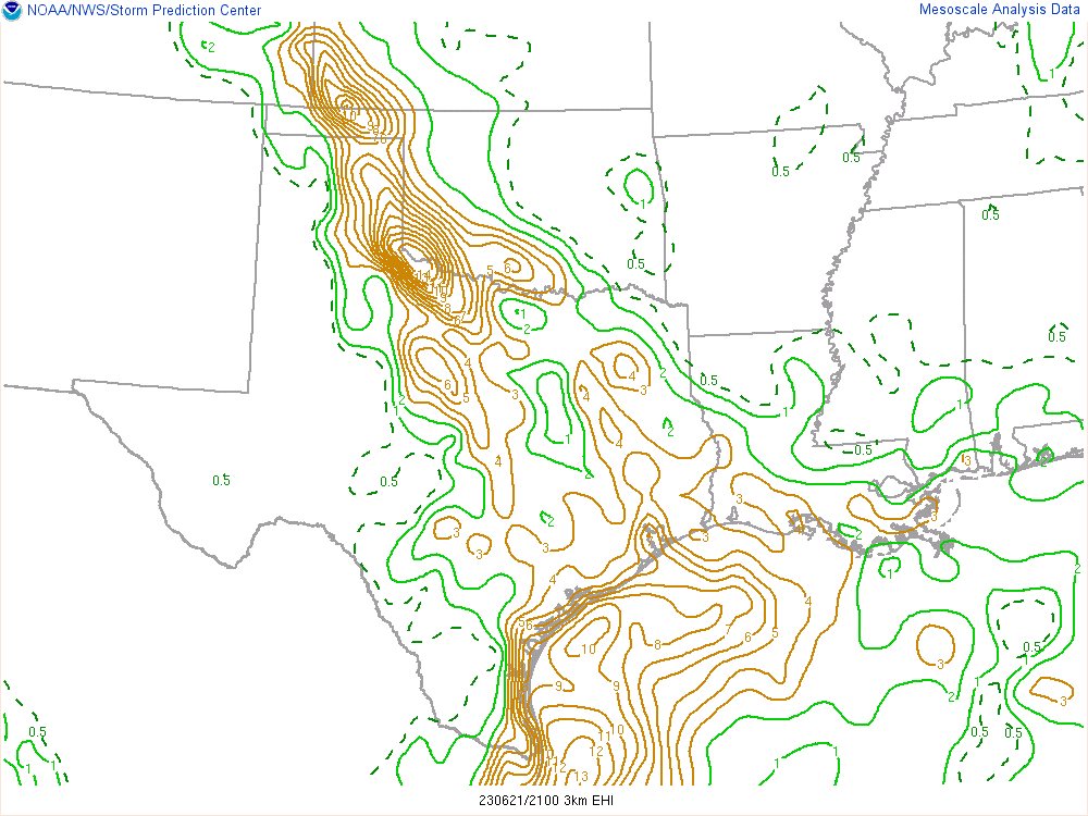
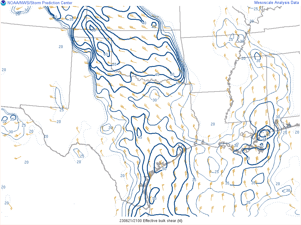
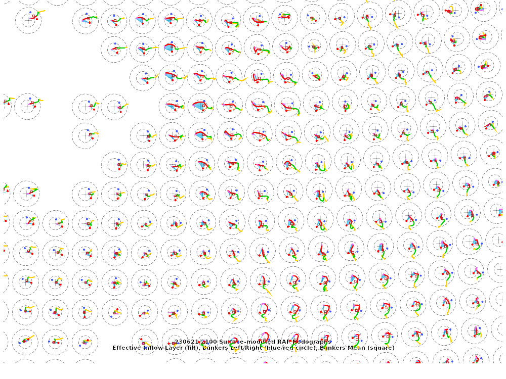
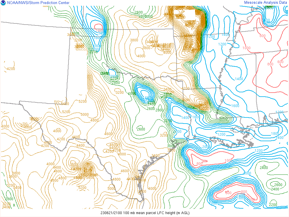
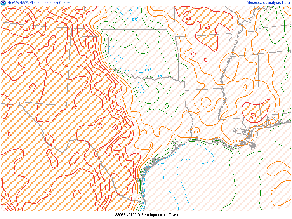
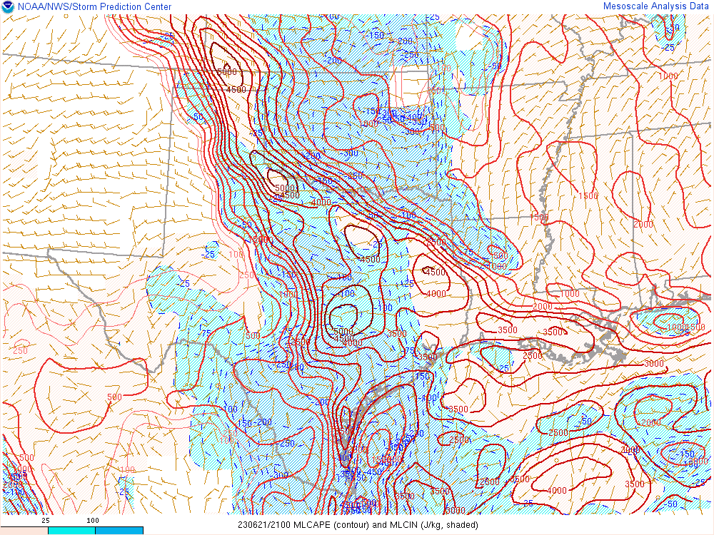
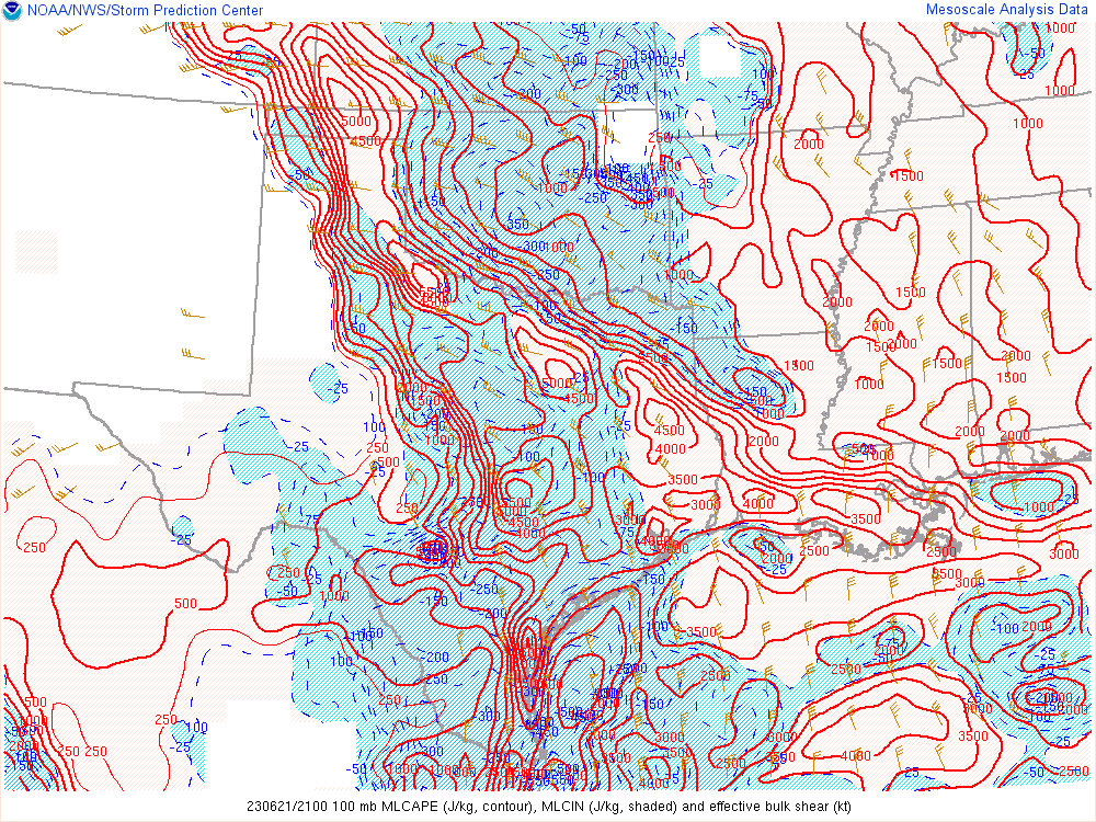
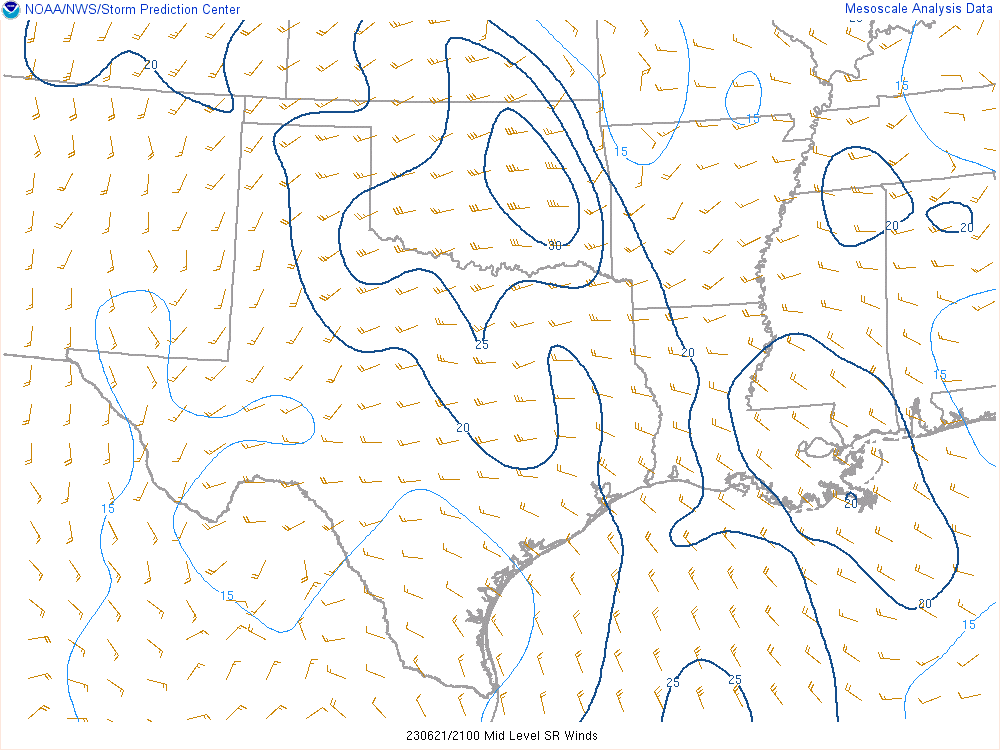
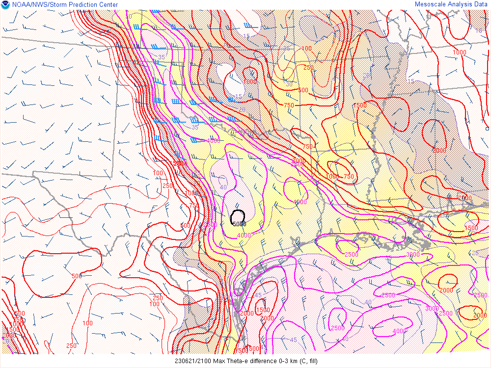
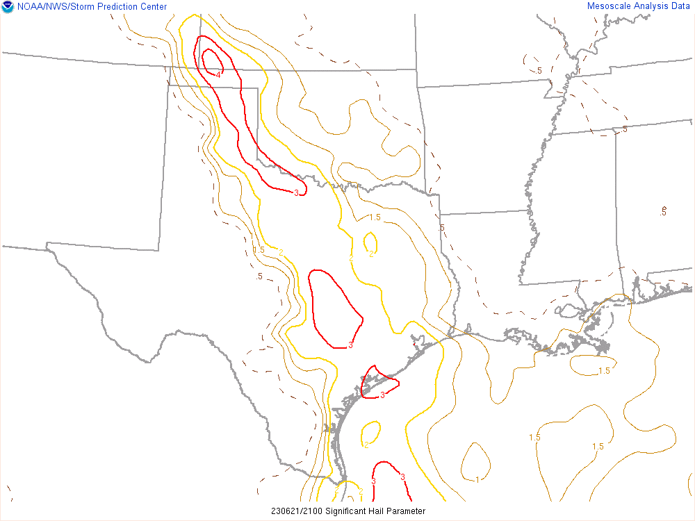
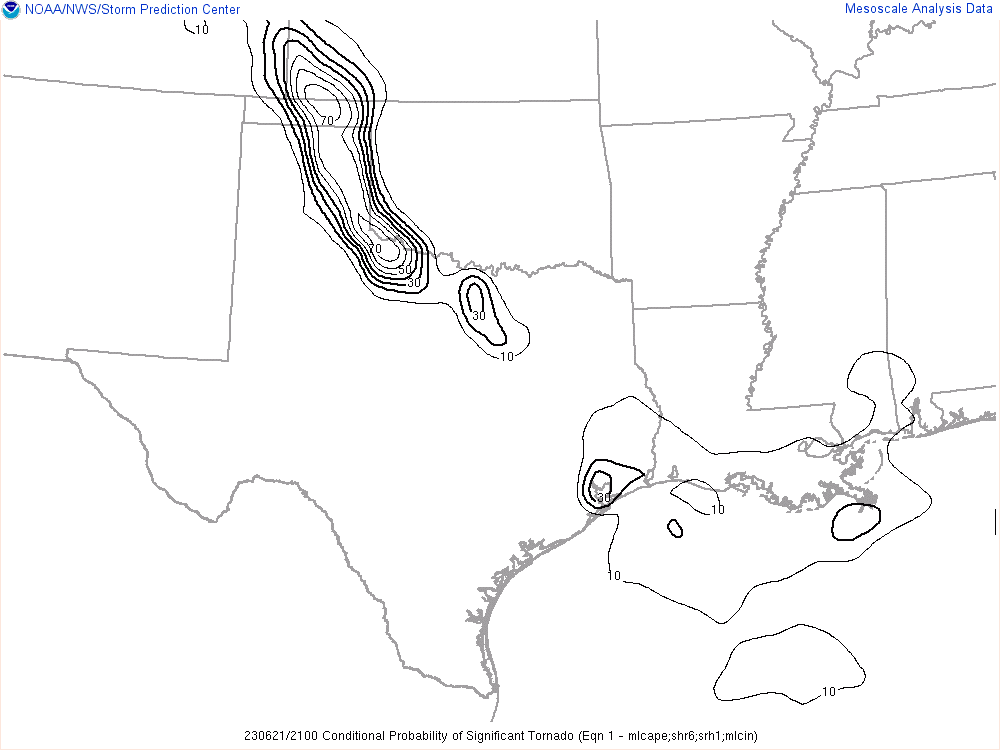
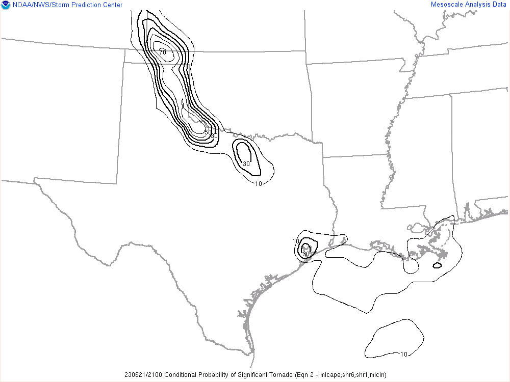
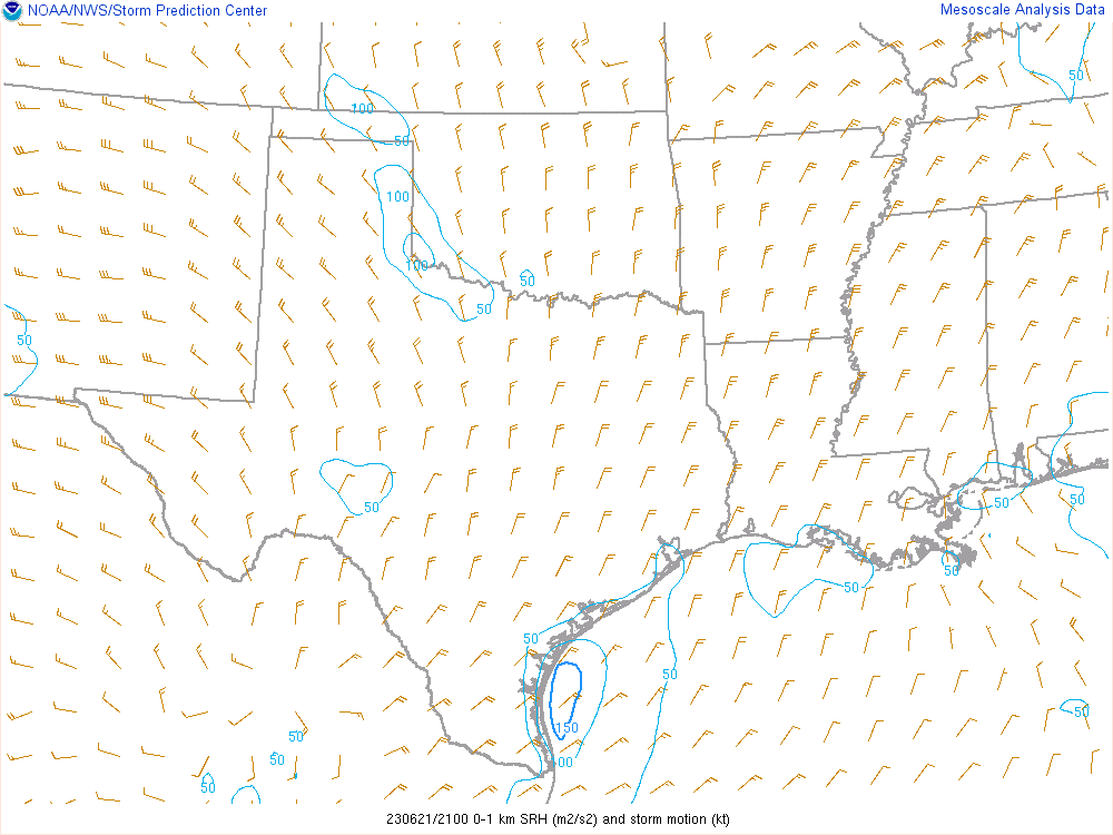
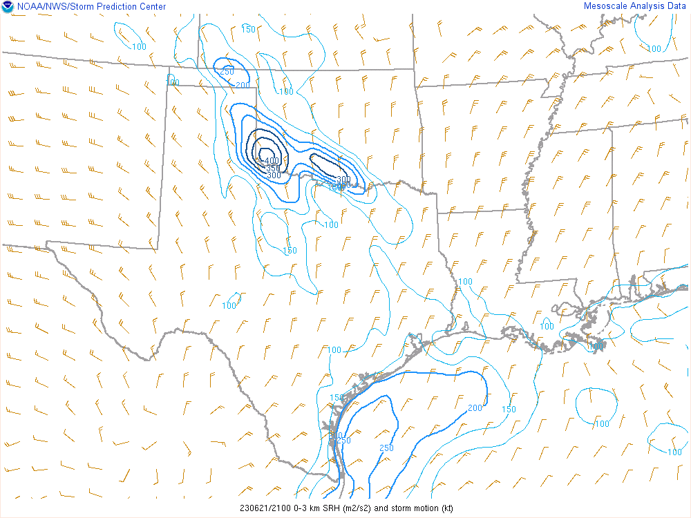
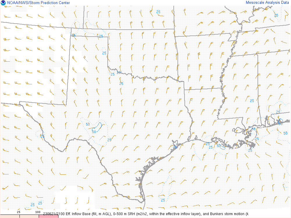
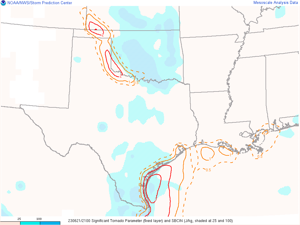
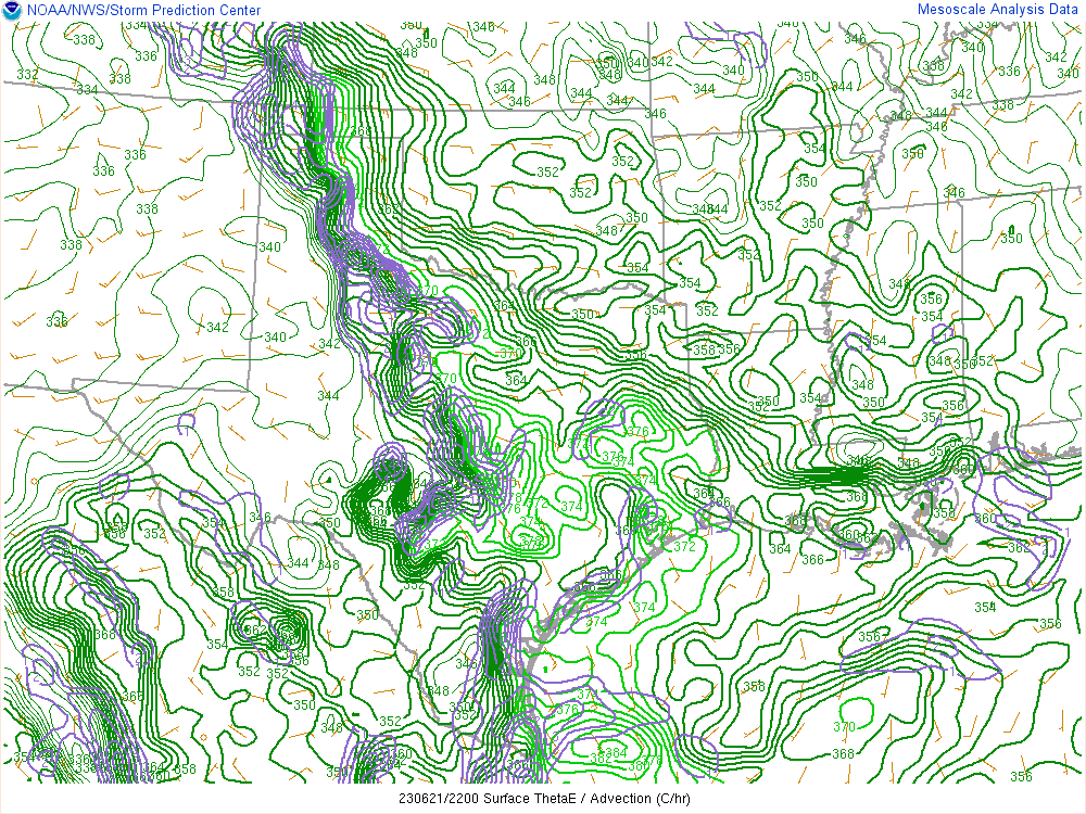
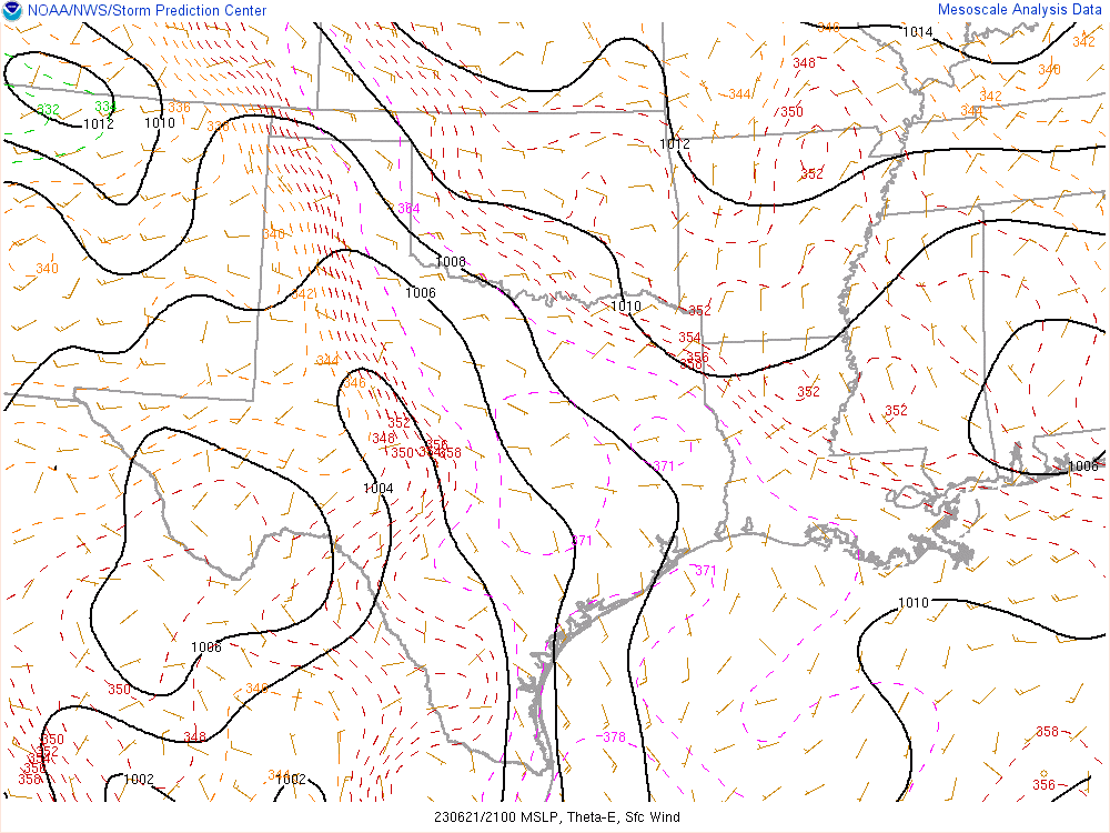
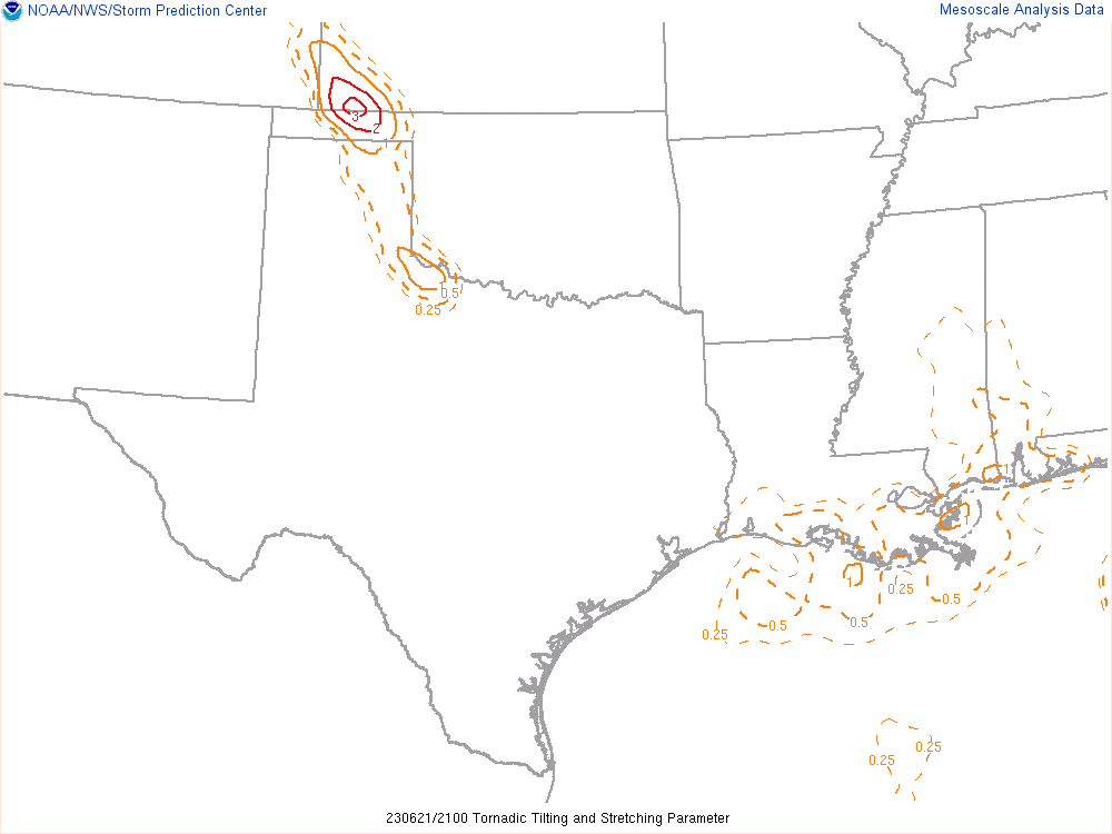
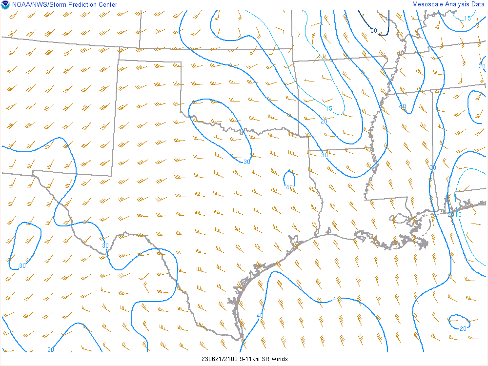
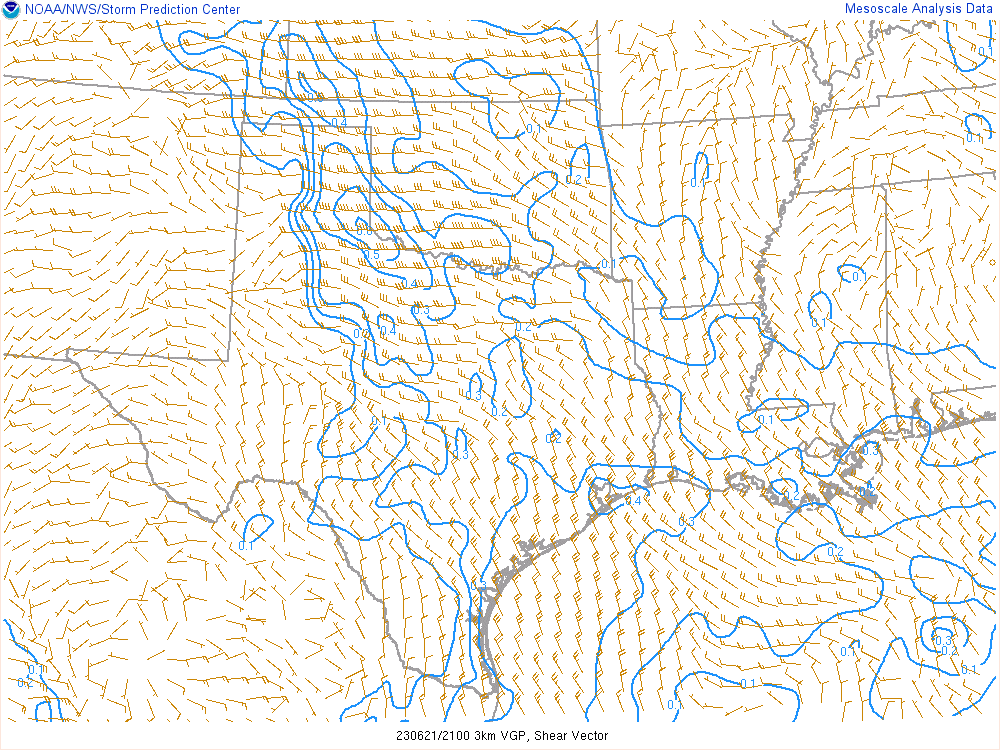
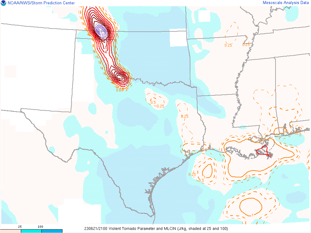
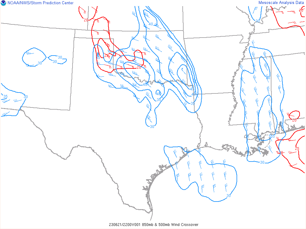
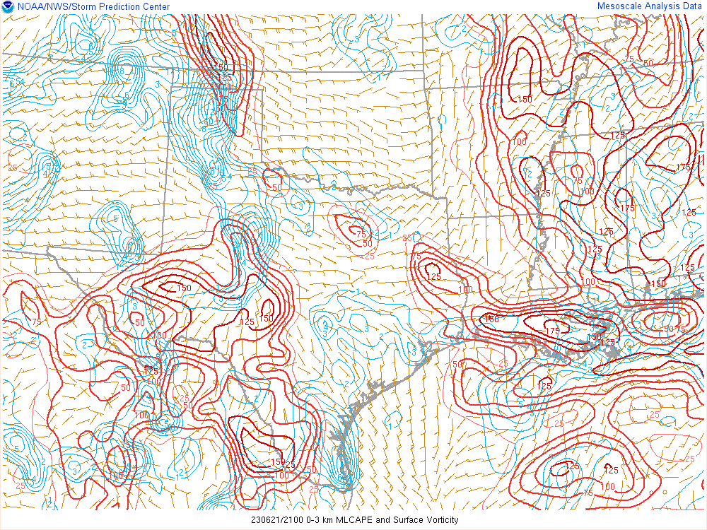
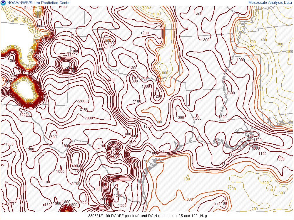
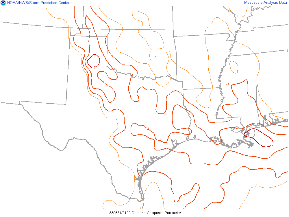
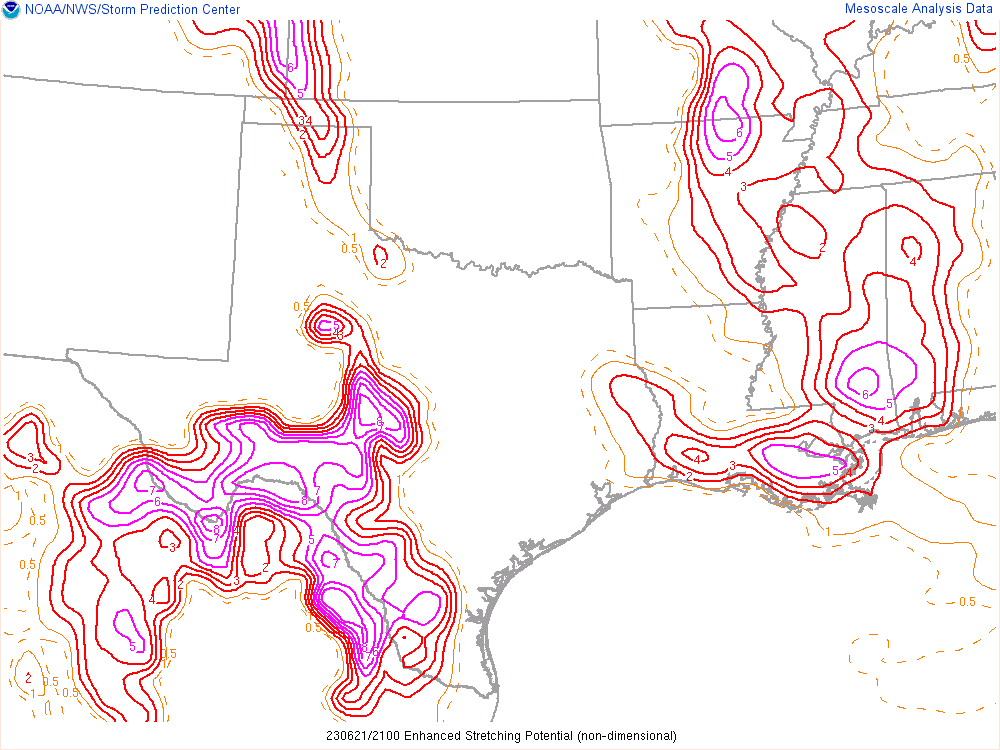
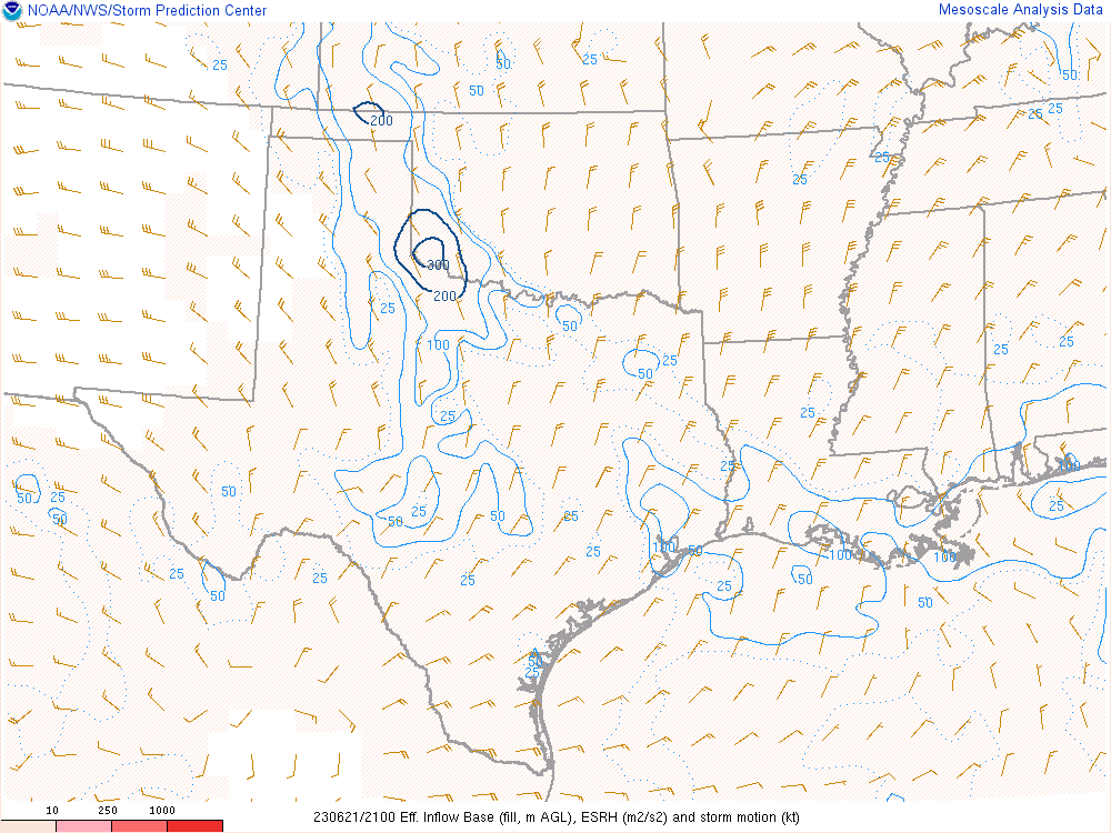
SPC Mesoanalysis
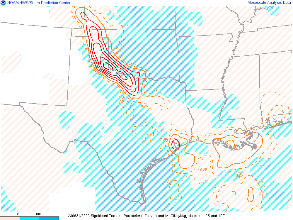
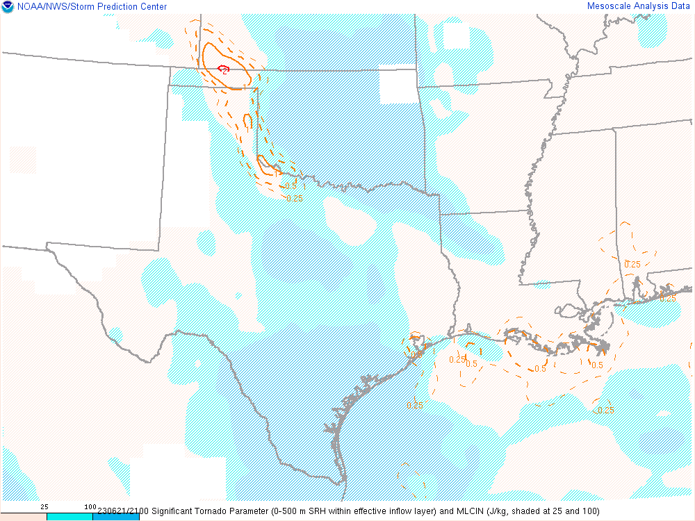
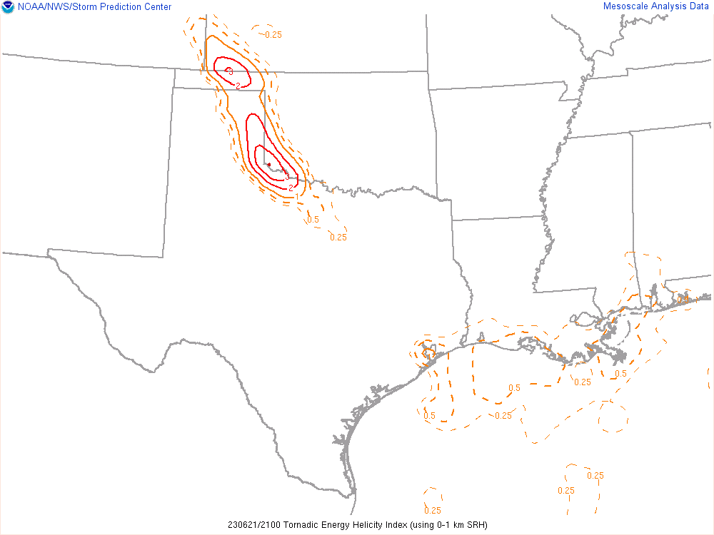


Which storm?
The first storm popped up in Carson County near White Deer, then another updraft just to its south. I could see additional development to the north on satellite. Another storm would pop to the north of Stinnett, with additional development in the Oklahoma Panhandle and southwest Kansas.
As we continued west on US60, I would come to a fork in the road at Canadian. Should I head up US83 towards the storm near Spearman, or continue towards I-40/Panhandle, TX storm. To further complicate matters, the NWS issued a tornado warning for the storm in the Oklahoma panhandle to the north. As we neared the fork, I asked Adam which one he was thinking. He confirmed my thinking of south, so we continued down US60.
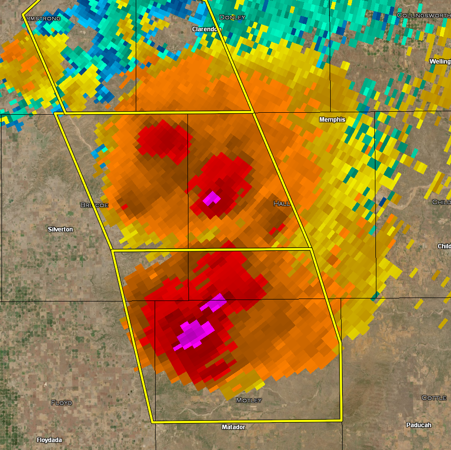
On the storm near Clarendon
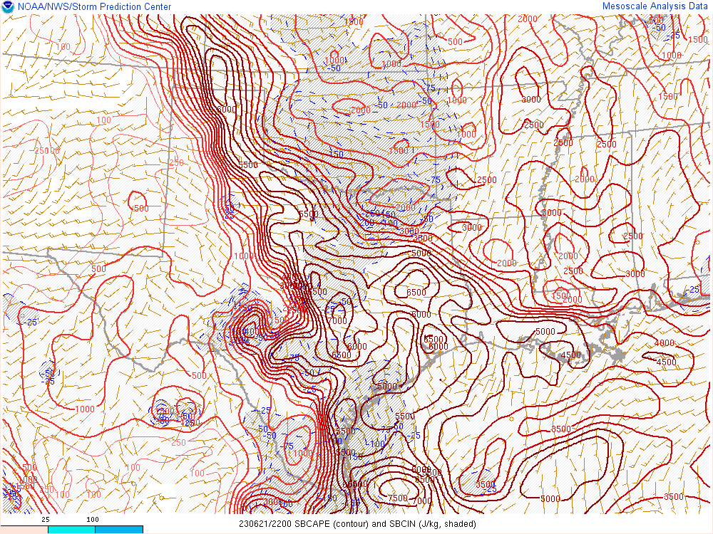
We approached by taking a south route out of Miami towards McLean. I was unsure exactly how far east vs south this was going to dive, but with 4000-5000+ CAPE and steep lapse rates, I wasn’t about to bet my windshield on it. As we approached Clarendon, the NWS issued a tornado warning just to the west of Clarendon.
I did not pick up on this right away, but we quickly had a new updraft to the southeast. The south options out of Clarendon are Highway 70, so I was a bit worried we would end up in a bad spot. After stopping momentarily near the Highway 70 and 256 intersection, I realized we really needed to get south. I mentioned to Adam when we came down the caprock, and pointed out how the storm would come down in elevation and likely encounter a little better moisture. Would this produce the famous “caprock magic”? We continued all of the way to Turkey. Roads are still scarce in this area, but there was at least more than 1 choice. I’d make a decision to head down FM656 south of Turkey to the east to get a better vantage point of the storm.
Matador Texas Tornado
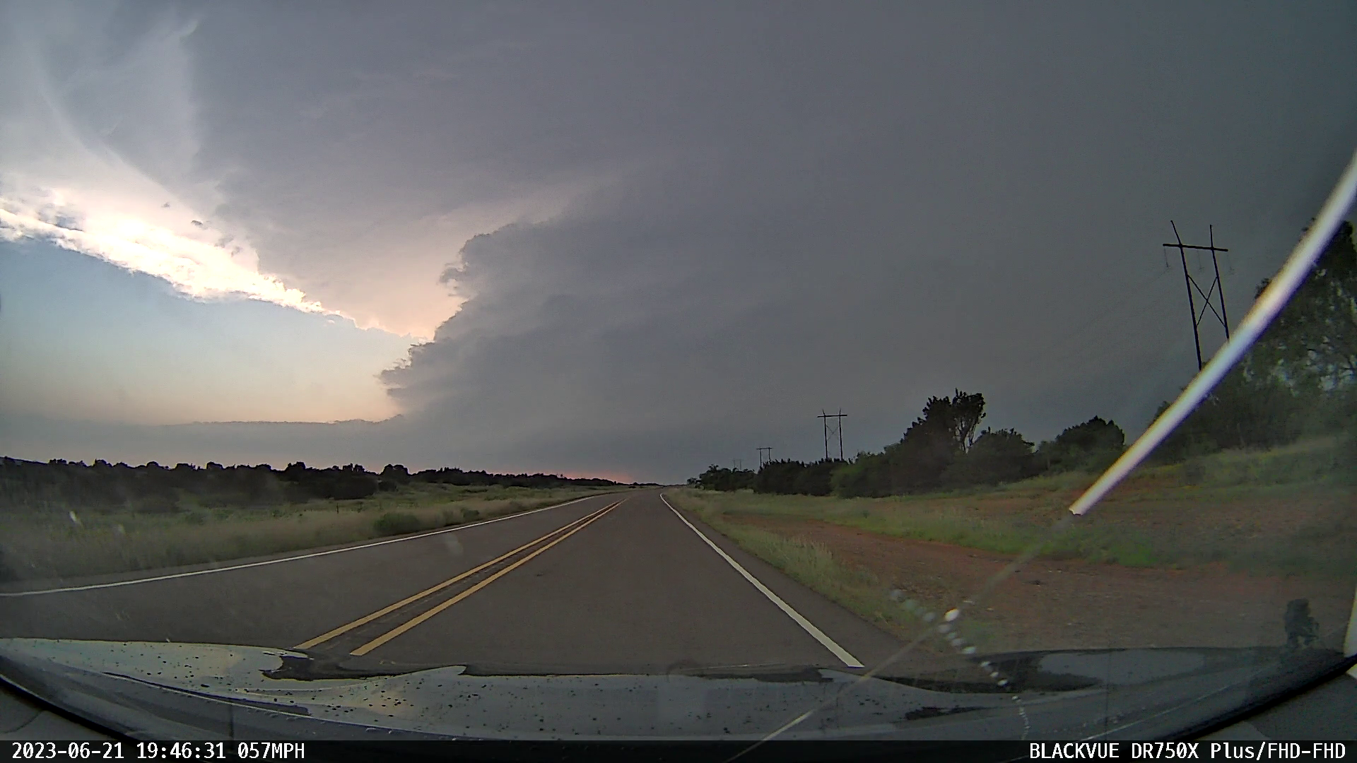
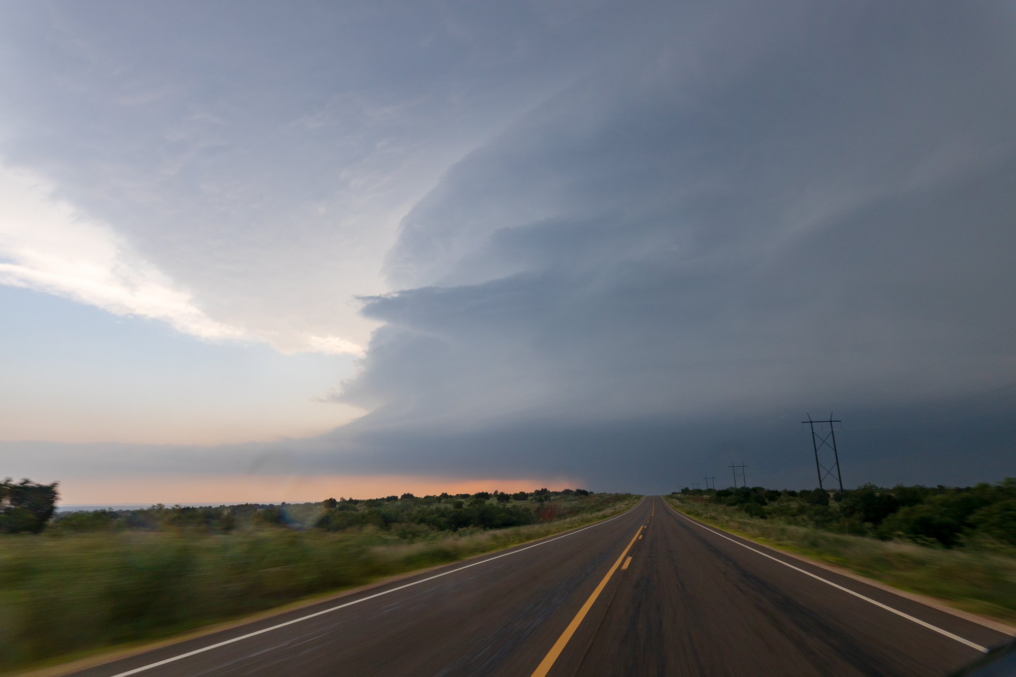
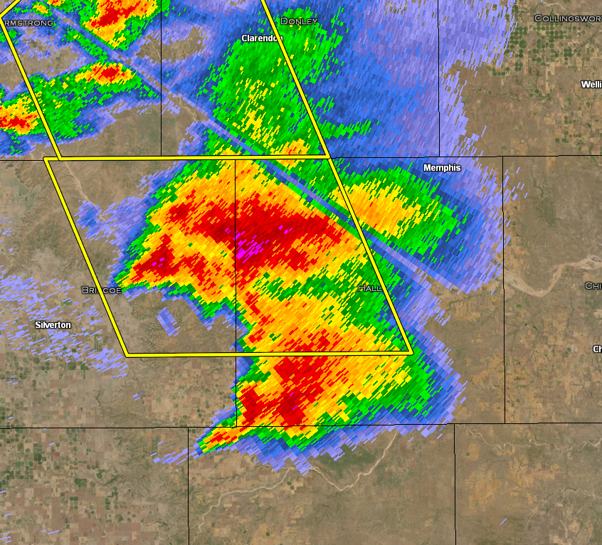
As we continued to the east and southeast, the storm updrafts began to propagate pretty quickly, with a new main updraft going up far to our south. I continued east down the winding road FM-656 before finally getting to my south route of FM94. This road is about as desolate as you can get, with not much out there. As we bailed south, we could see the main storm updraft to our south/southwest.
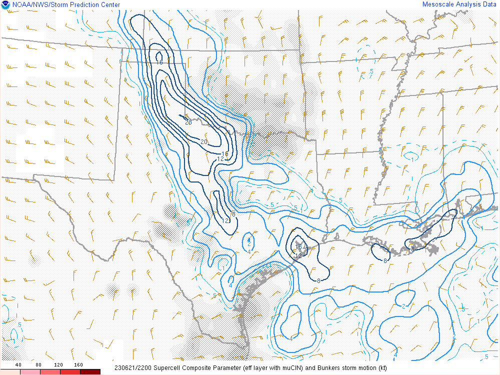
As we neared US-62 and Matador, we were presented with a very carved out vault updraft with a big inflow tail feeding in from the east. This storm was an absolute monster, with 65,000ft tops showing up on radar.
As we continued south, a large cone tornado came out of the rain. The storm was quite HP in nature, with the unseasonably high dewpoints, so the contrast was not the best. Unfortunately, I failed getting good video. Between a high five to Adam and dropping Spotter Network reports, my camera tipped over. Oops.
We hung out around the intersection of US62/70 and FM1380 for a few minutes. It appears it was during this time that the town was impacted. We may have witnessed a second Matador Texas Tornado to the east, albeit brief.
Video
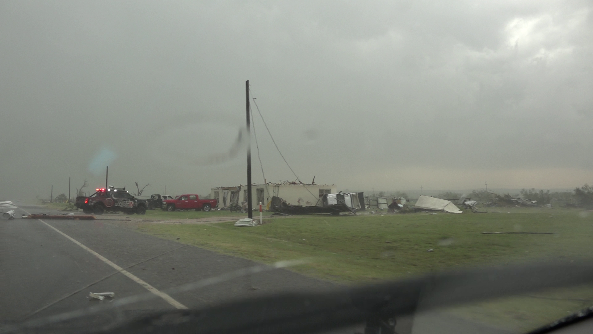
Damage in Matador from the Tornado
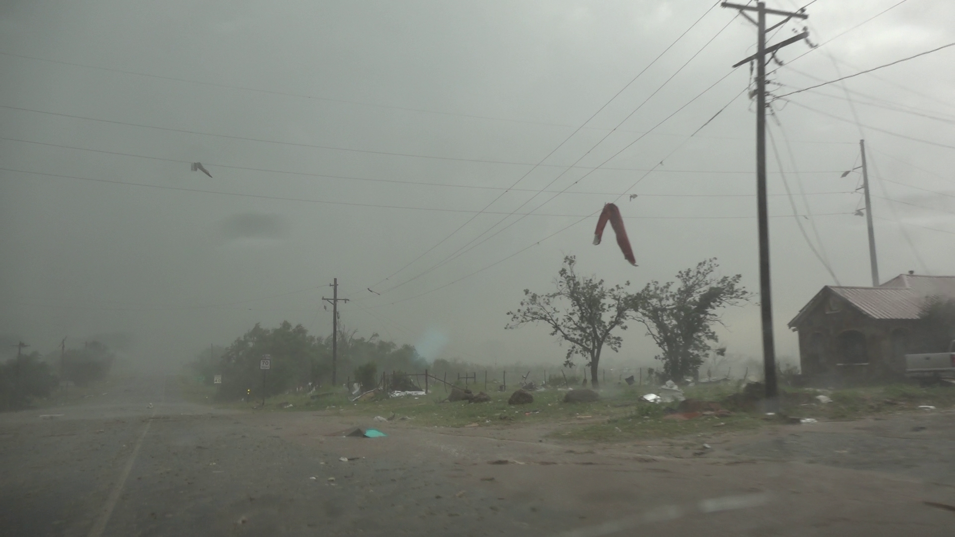
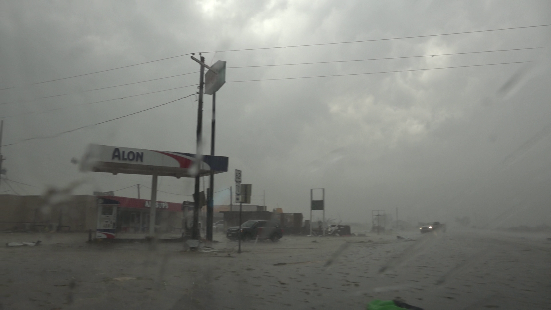
As we entered Matador from the east, we didn’t notice much until we neared the intersection with highway 70. It was apparent right away that a significant tornado had hit the town. We dropped south on highway 70 and got south of town as we were ill prepared to provide any help.
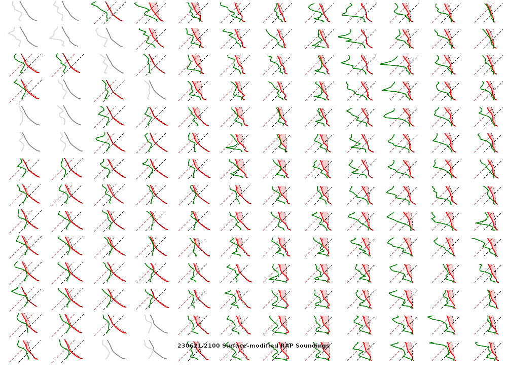
00Z Soundings
Here’s the 00Z soundings for June 22nd. As you can see, lapse rates were incredibly steep with deep moisture. A 73º degree dewpoint at Amarillo is pretty rare.


Additional tornado near Afton
After getting through Matador, i decided to get south to FM193 near Afton. We went east on FM193 and witnessed another tornado to our north. With storm motion still being due southerly, and my map not showing FM265 going through all the way south to US82, we decided to bail back west to Highway 70 again. We loitered around the intersection of FM193 and Hwy 70 before heading down to Dickens.
The NWS in Lubbock added another tornado near Dickens that crossed US82. I would believe that I was really close to that, as we had quick directional changes of the wind. I ended up having to back track along US82 to stay out of the worst of it.
Eventually we were able to make our escape east on US82. We headed back towards Seymour and then back to Norman from there. The delicious Allsups waiting our arrival in Seymour was more than earned.
Links
- National Weather Service Lubbock write-up of the Matador Texas Tornado
- Storm Track reports thread from June 21, 2023
- Nick Nolte’s chase recap of June 21, 2023
- Tony Laubach’s recap from Colorado on June 21st


