Storm Chase Details
Miles Logged: 406
States Chased: OK
Tornadoes Witnessed: 1
Spotter Network Reports: 2

Severe Risks: SPC Outlooks
Severe Reports: Storm Reports
I had no real plans to chase, but that changed at about 5:30 when the SPC issued a MD and Tornado Watch for NE Oklahoma. I was still at work, and bailed out and headed home, leaving Norman by 6pm.
We knew the main show would be out of reach up by Joplin or west, but we were hoping for something to fire a little further south along the dryline, and just about dusk it did.
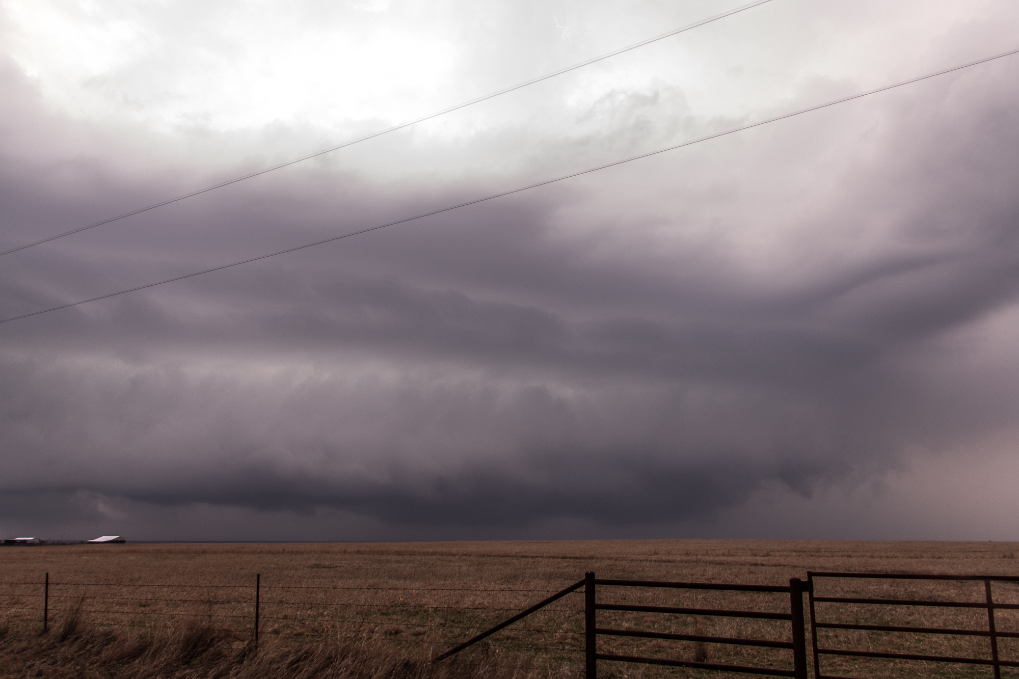
As I neared Tulsa, a little troll storm had fired over the city. It seemed to be struggling with the cap, but the storms up closer to the triple point or at least dryline/warm front intersection in Osage county seemed to be doing much better, so we took 169 north out of Tulsa towards Nowata.
We headed north of Nowata then east on SH10 where the storm seemed to take on it’s best supercell shape with a large mesocyclone and even a wall cloud underneath. It was dark, so I tried my best to stay ahead, but it was hard to leave some of the terrain I found up there northeast of Nowata for the crappier terrain further east.
Eventually Tulsa issued a tornado warning on it, and it seemed like a tornado was imminent but never seemed to happen. What was a nice bowl lowering because a gusty shelf cloud in the matter of a few minutes.
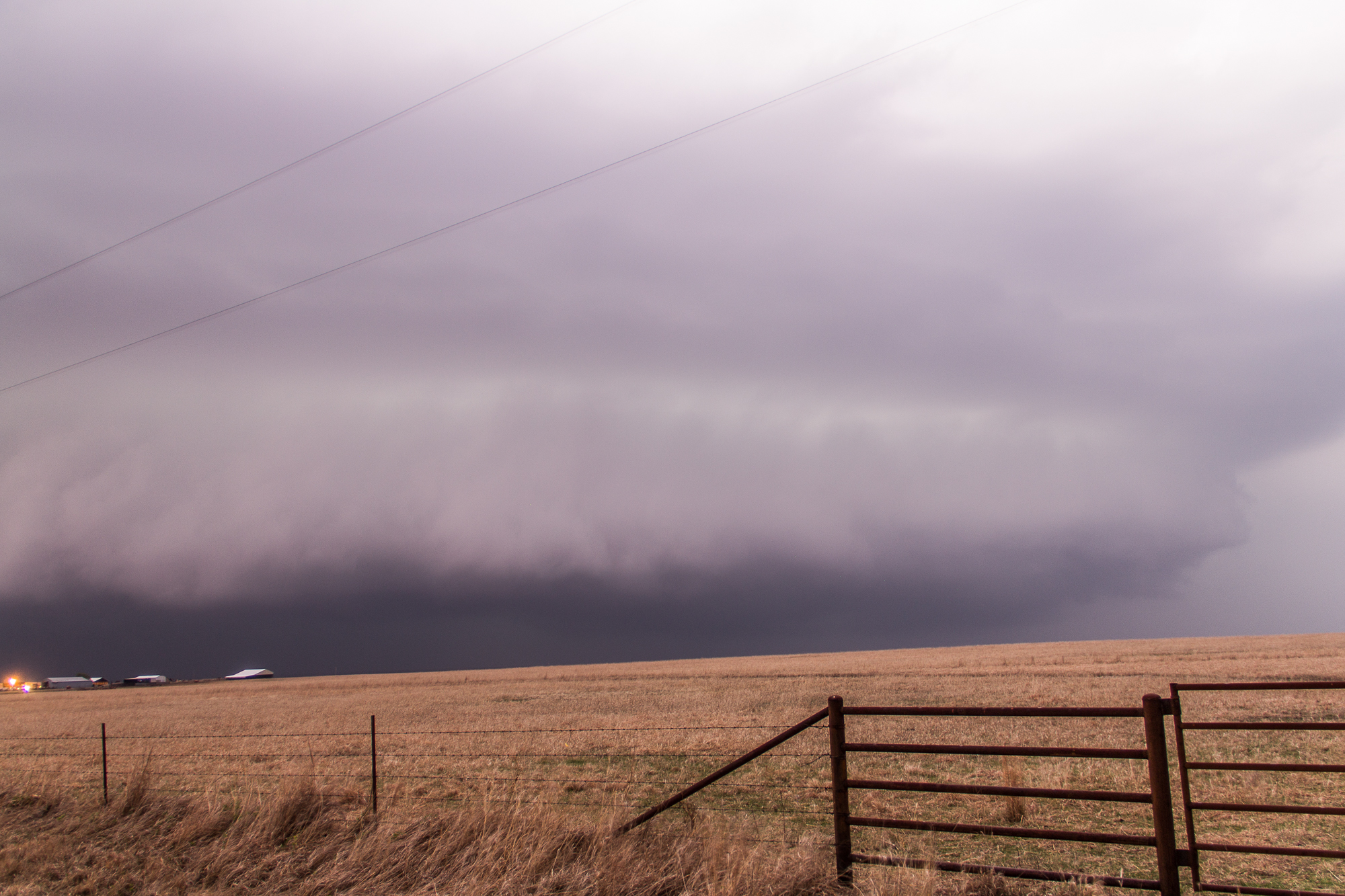
We got hail as we headed down towards Vinita. The lack of roads up there really hurt our chances of staying with the storm.
We filled up in Vinita and Tulsa issued another tornado warning. I was weary as a large scuddy lowering had just come through town and the air felt cold and the flags were indicating steady outflow.
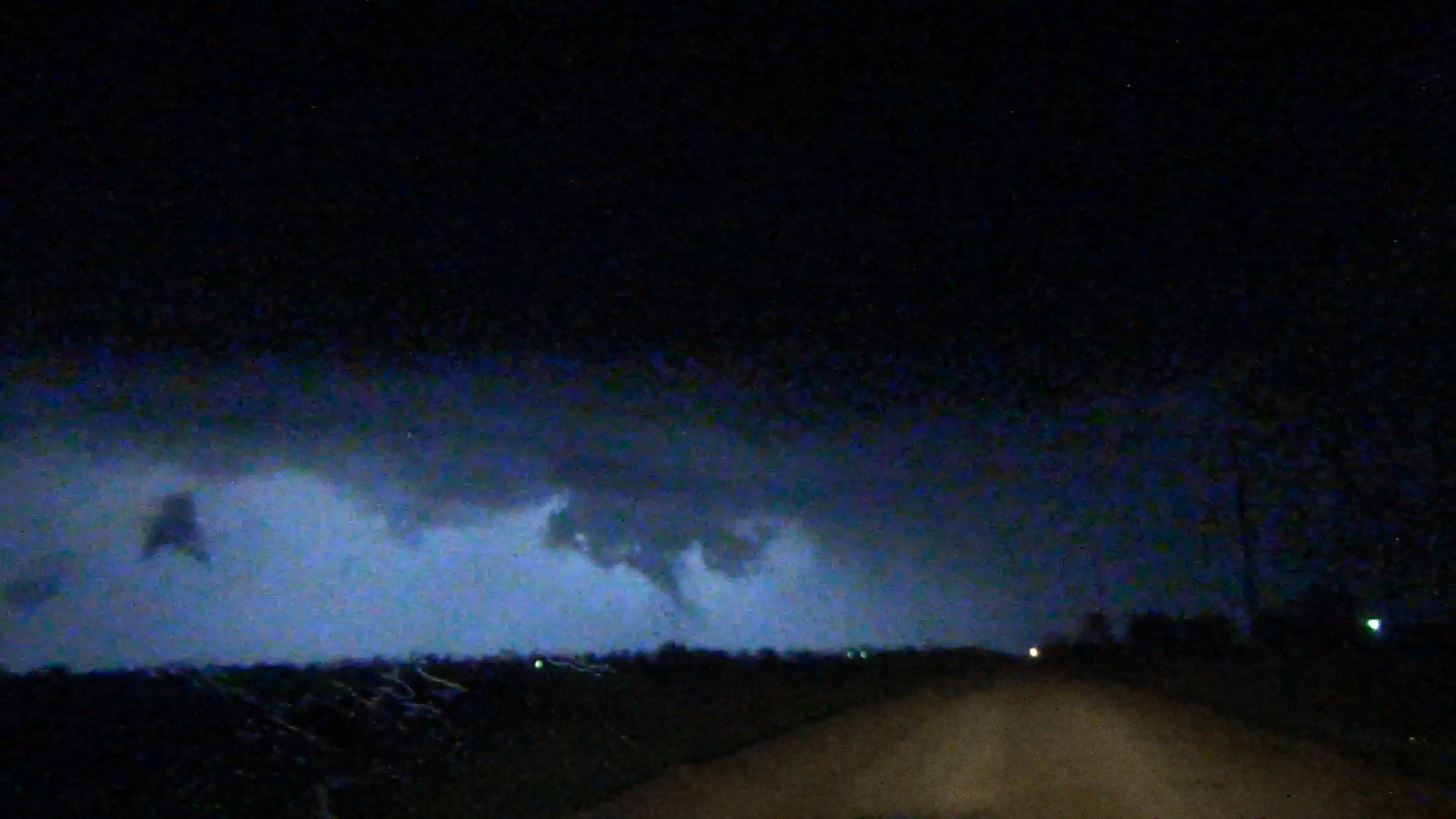
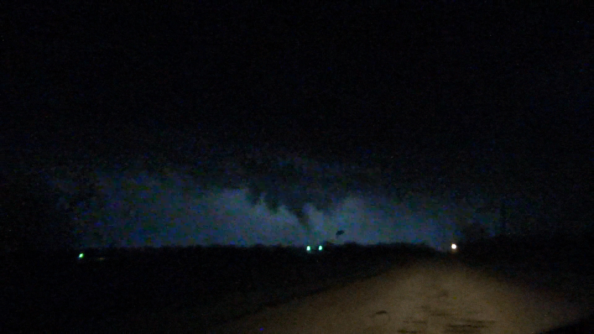
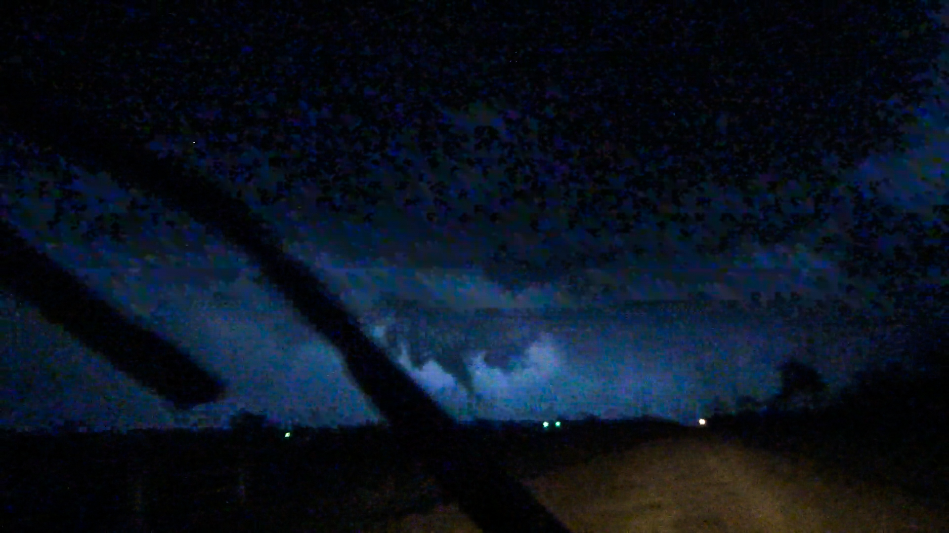
We followed the storm further east towards Afton, and managed to witness a brief tornado in between the flashes of lightning. It wasn’t on the ground for long, but Tulsa confirmed it the next day.


