Storm Chase Details
Miles Logged: 1128
States Chased: IA, MO
Largest Hail Encountered: 0.50 in.
Highest Wind Encountered: 50 MPH
Severe Risks: SPC Outlooks
Severe Reports: Storm Reports
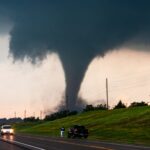
March 5 was one of my most challenging chases to date. The storm motions made keeping up with the storms very difficult and ultimately cost me views of the Winterset, Iowa Tornado.
Long Range Forecast
The model runs for the previous 5-6 or so days were very consistent. They showed a very strong trough coming into the central plains with strong ridging to the east. A strong low would form and track northeast, with very cold temperatures at 500mb (-18 to -20C). The main issue I had with this setup a few days out was low level instability. Surface temperatures looked to be around 60, which would cancel out some of the effect of the very cold temperatures aloft.
Mid-week, model runs continued to show struggling low level thermodynamics and low cape (around 500J/KG). I had written off the chase. Going to Iowa in early March isn’t very smart most years. I was planning to either attend TESSA or go camping & trout fishing.
Friday Forecast
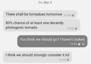
Zack sent me a text on Friday afternoon mentioning that he thought some photogenic tornadoes were likely in Southwest Iowa on Saturday.
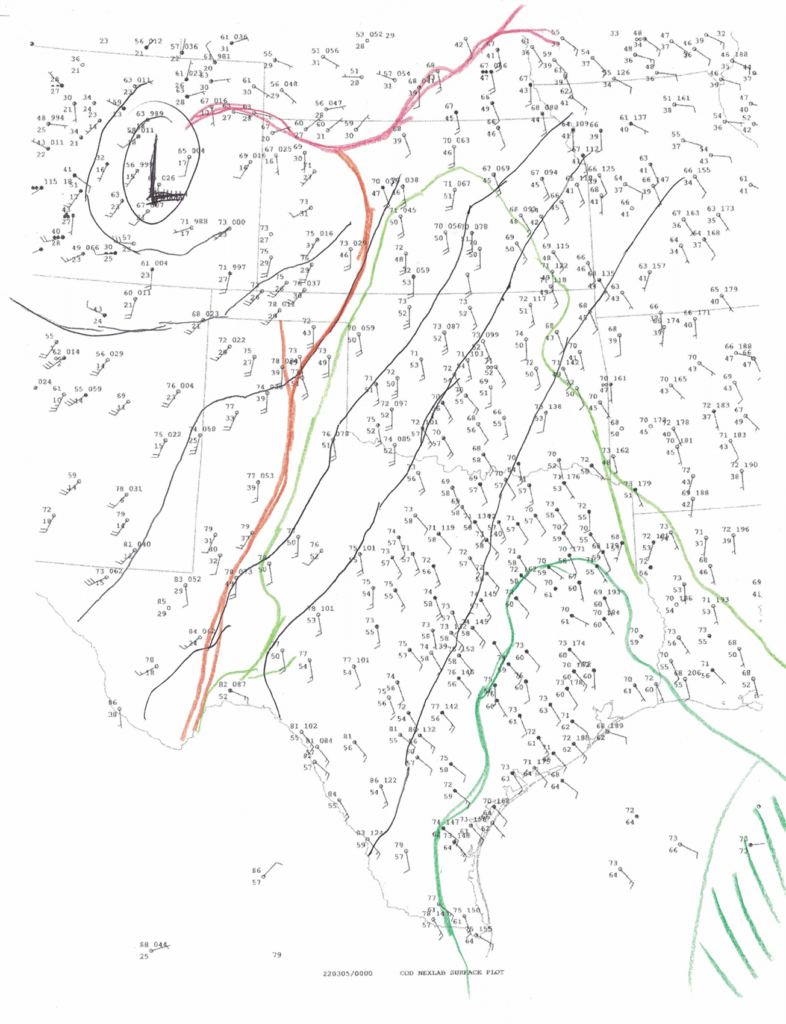
I arrived back home in Norman after work, and started digging into the setup. This started by letting my cats out back. I sat and watched them as well as the clouds. We had just had a deep freeze a week prior, and the air felt moisture rich. Bugs were also present, so this was indeed a gulf airmass. I spent the next hour packing and looking over the weather data. I drew a quick hand analysis chart
The 00Z soundings were in, and moisture depth on the Norman sounding was pretty decent. The Denver sounding was even more impressing, with close to dry adiabatic lapse rate from the surface to 500. A quick look at the Flagstaff, AZ sounding showed -25C at 500mb.
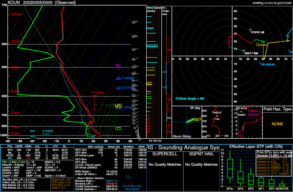
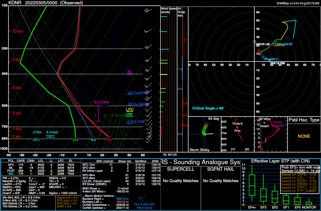
After looking at the evening upper air observations, I could draw a couple conclusions.
- Temperatures were likely cooler than anticipated with very steep lapse rates over the plains
- Deeper than expected moisture was on it’s way north. 50 degree surface dewpoints were nearing northern Kansas.
I finished packing my bag and picked up Zack. We left around 8pm and went to Emporia.
Chase Target
As I woke up in Emporia, I got on my Laptop and started to look at the current conditions. A view of the Water Vapor showed a very pronounced dry slot going into central Kansas. Looking at 12Z soundings and observations, moisture depth seemed alright. Topeka had a notable 700-500mb lapse rate of 8.0C/KM as well as a MeanW of about 9.1g/kg.
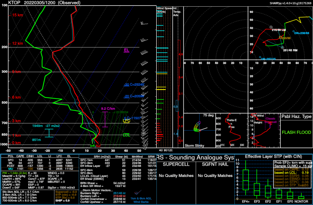
Target
After looking at modeling, we decided on an initial target of Nebraska City on the river. The RAP and HRRR showed a pretty volatile day. The 12Z NAM showed a complete bust. I was starting to feel the first signs of disappointment. Again, what did I expect from Western Iowa the first week of March?
We departured and headed north. Our first stop for gas hurt, putting 48.50 in the tank in Auburn, Nebraska. That was the full drive from Norman as well as my commute to the office on Friday, so overall the gas price increase is not hitting me as hard as it is others.
First storms fire
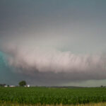
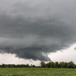
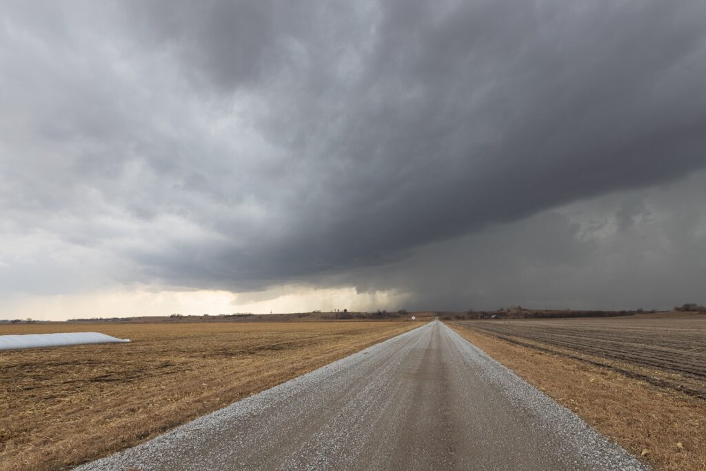
We sat in Rock Port, Missouri as we saw the first blips on satellite and then radar. We moved north to Hamburg and watched the updrafts form nice bases. The updrafts were bent over, but that was expected with 1000-1500 CAPE and a 100kt+ jet overhead.
Targeting the Winterset Storm
As we got north of Shenandoah, it became obvious the storm that was to our immediate southeast would have the best access to unimpeded air. Unfortunately, it was likely already too late to get into any position to later see the Winterset, Iowa tornado.
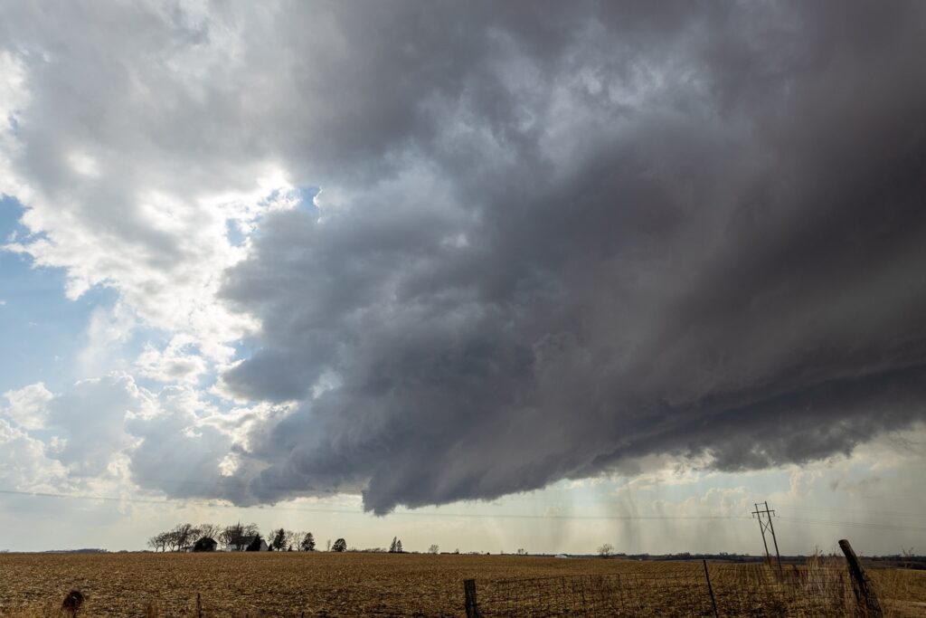
Until this point, we had seen very few chasers. As we got north of Clarinda, this was going to change pretty quickly. When we got onto US34, I started to fall behind in the conga line of chasers.
Funnel near Creston
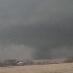
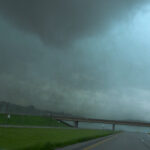
I tried to go east of Creston and then north to try and get out of a line of chasers and got behind some local going slower than the speed limit. Meanwhile, we witnessed a funnel. I was hesitant to even call it that at first, but other chasers have video of ground circulation and debris underneath. As we continued on, we fell further and further behind.
The highway near Macksburg was like a NASCAR race with large speed differentials and many people passing at once. I looked in my rear view mirror at one point and saw probably 5-6 cars in the left lane passing in the forever conga line behind me.
Winterset Iowa Tornado
Views of the base of the storm had been cut off at some point after Creston by precip. By this point, the mesocyclone was completely obscured as we tried to get north on US-169. The radar presentation had improved greatly, and we could see a huge ramp up on the velocity product.
We eventually ran into the damage path and watched as the storm sped away. We found our way to I-35 and started the trek back home, getting into Norman about 12:45am.
