Storm Chase Details
Miles Logged: 267
States Chased: OK
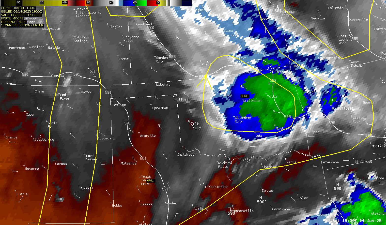
Severe Risks: SPC Outlooks
Severe Reports: Storm Reports
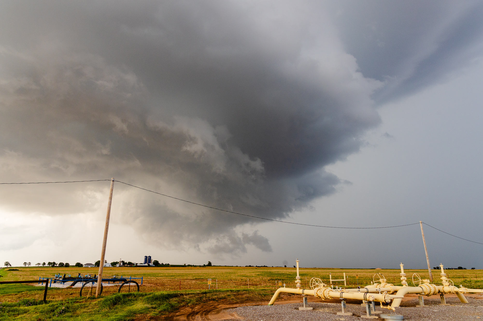
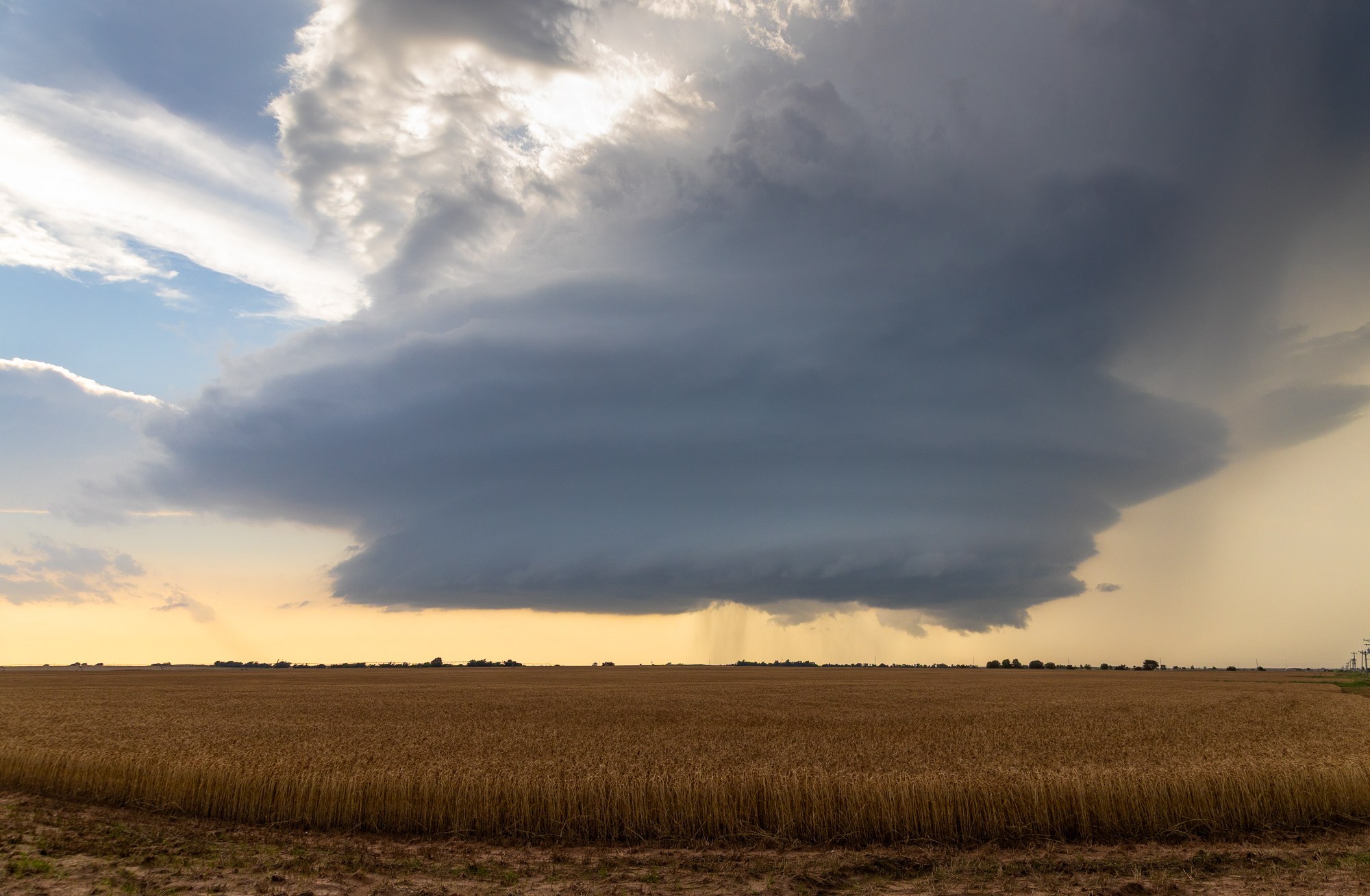
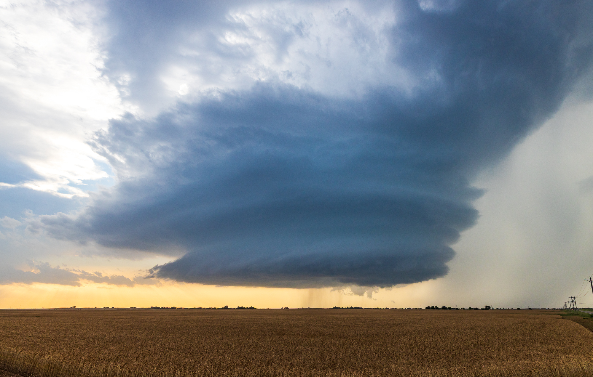
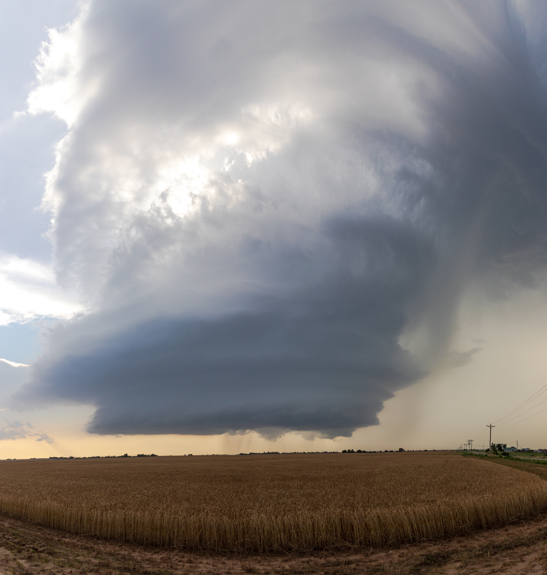
An outflow boundary in Central Oklahoma produces a very slow moving, beautifully structured supercell near Weatherford and Hydro Oklahoma just west of OKC.
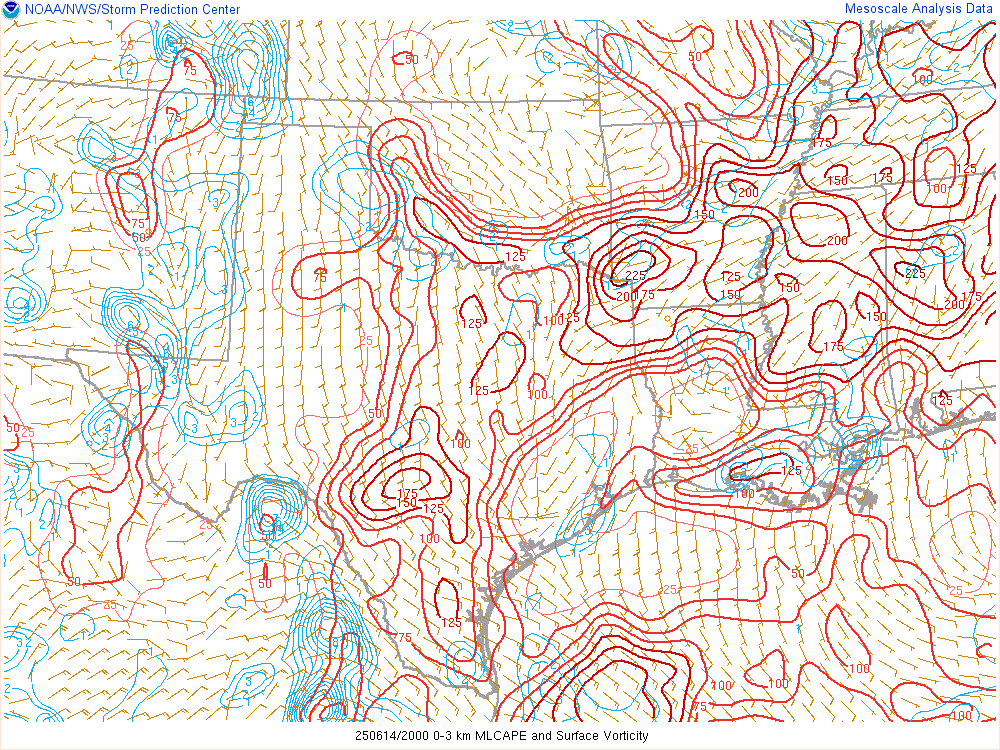
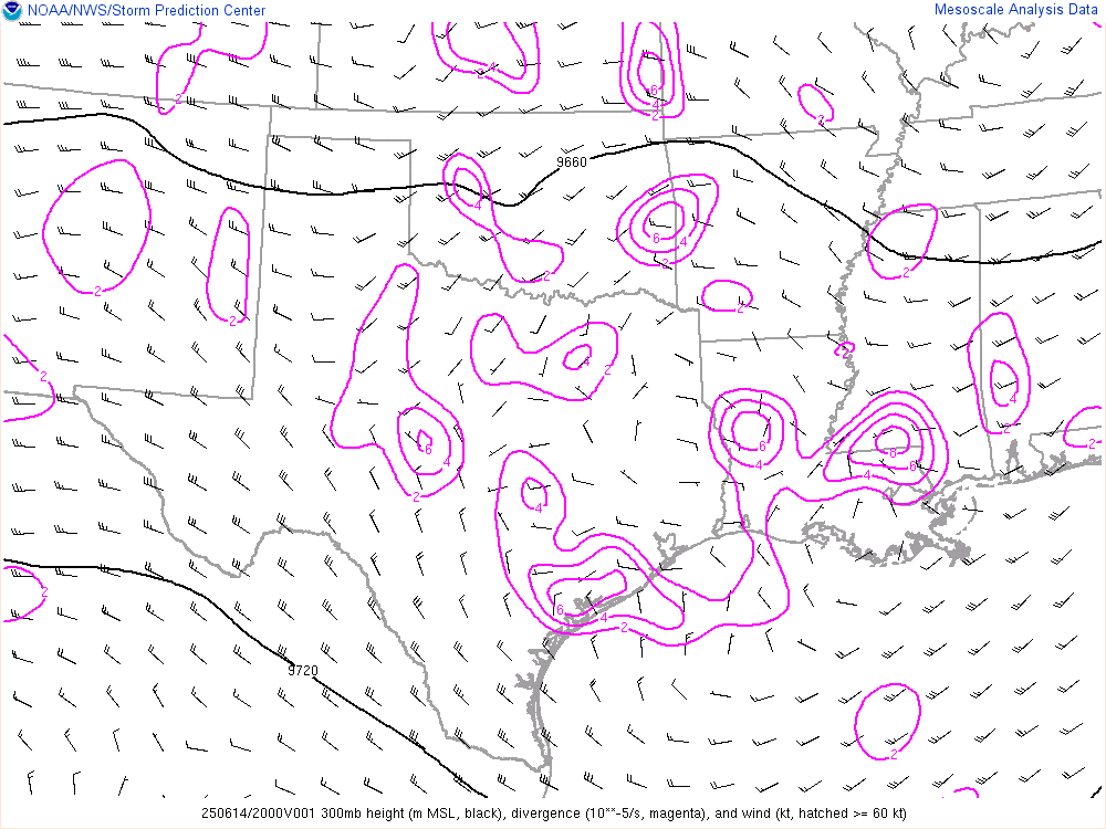
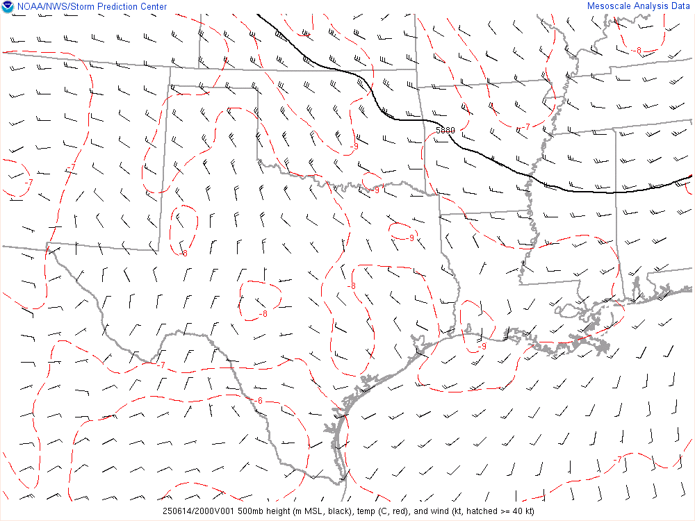
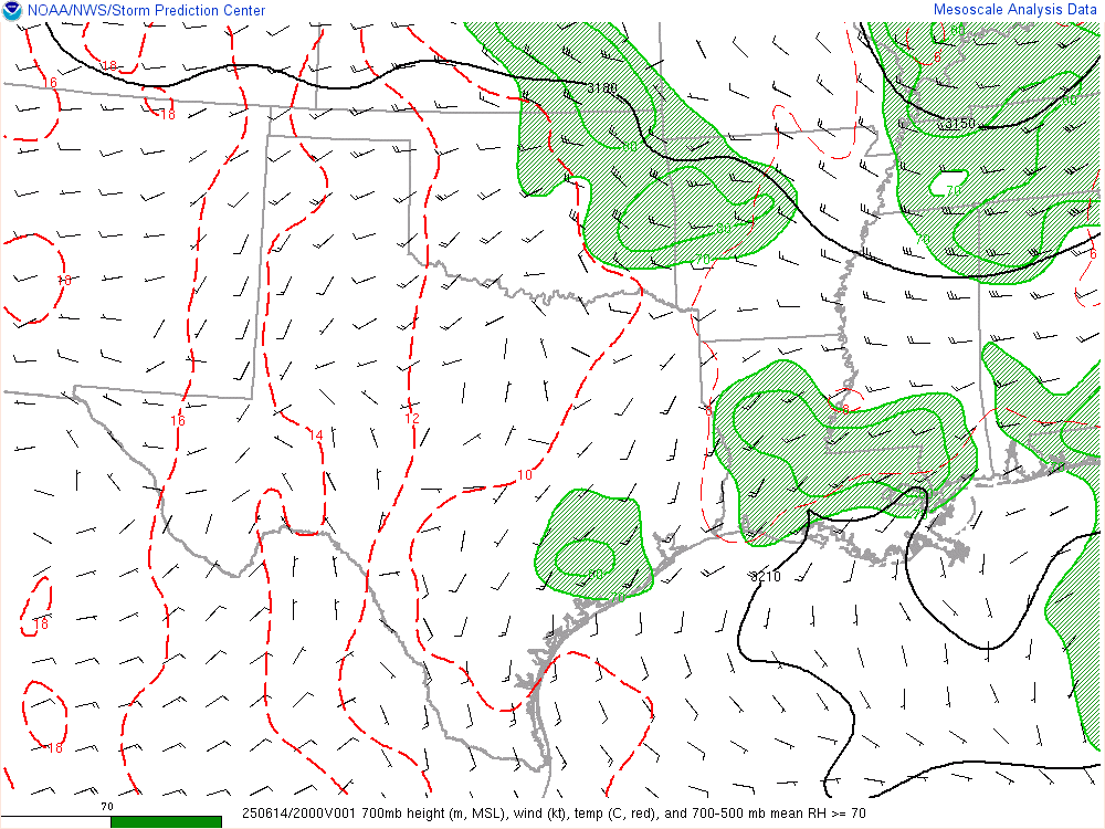
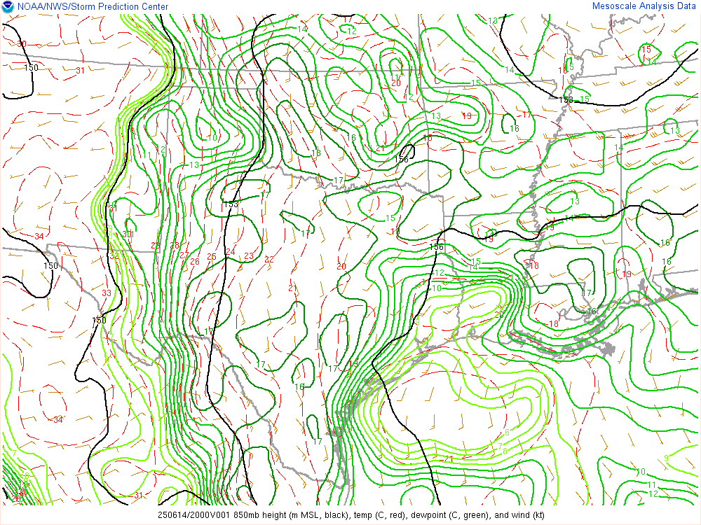
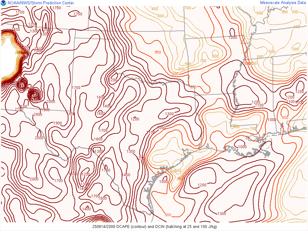
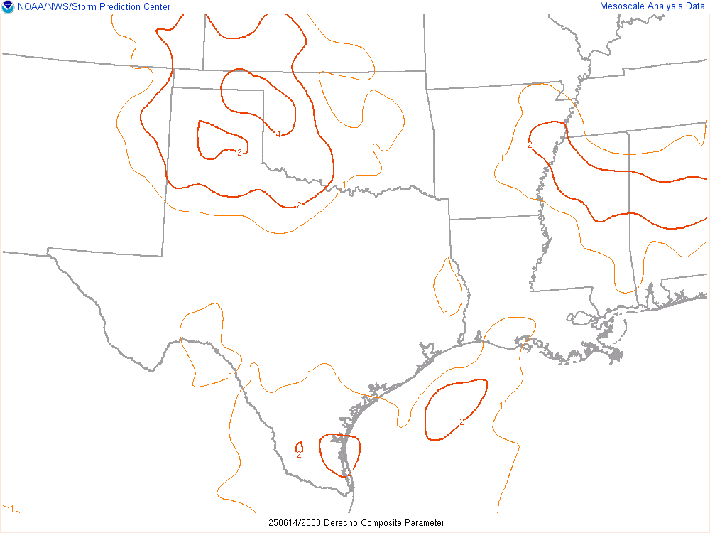
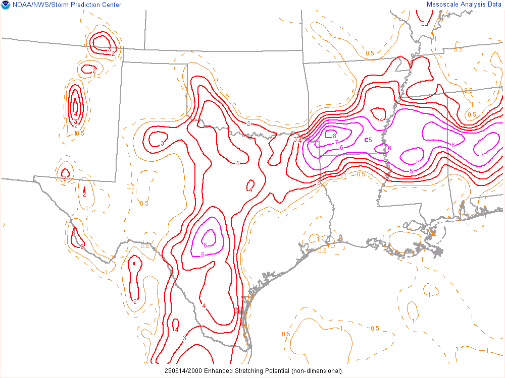
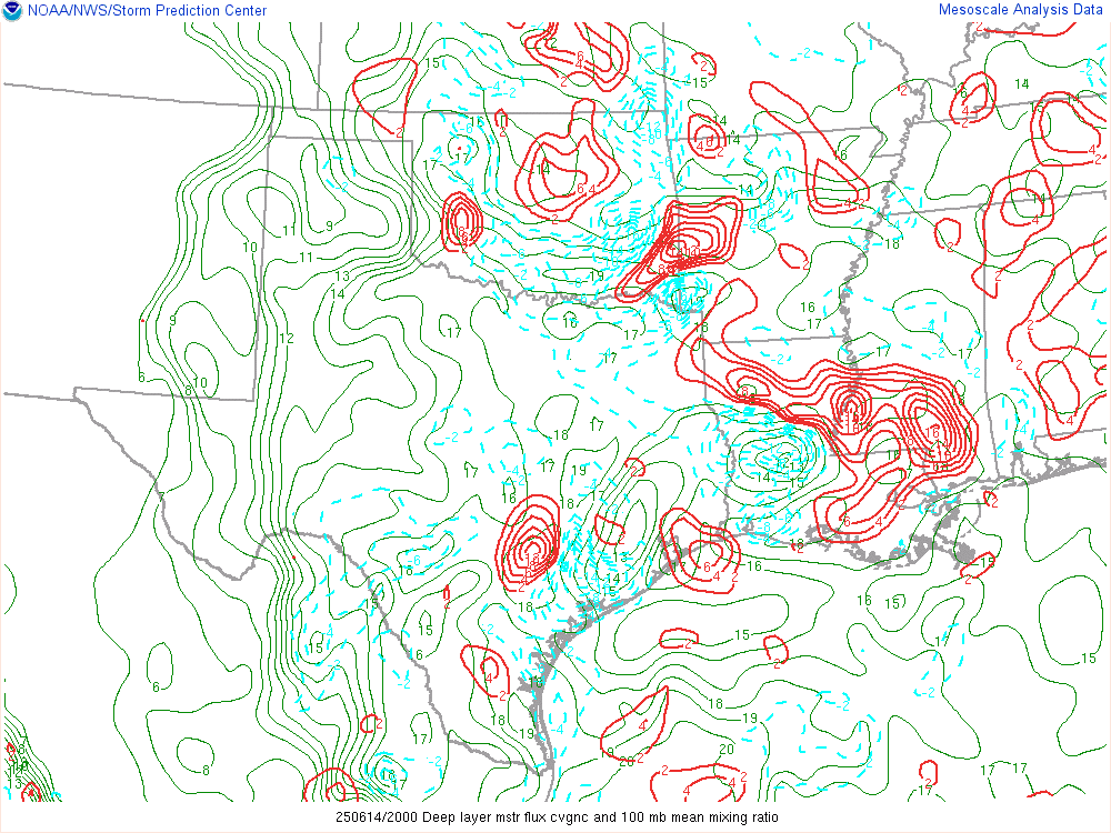
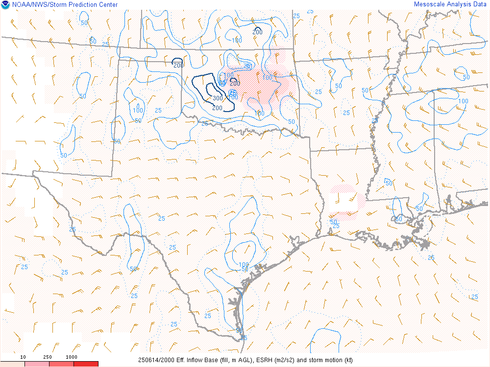
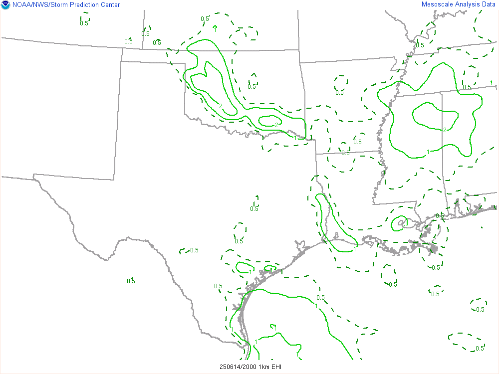
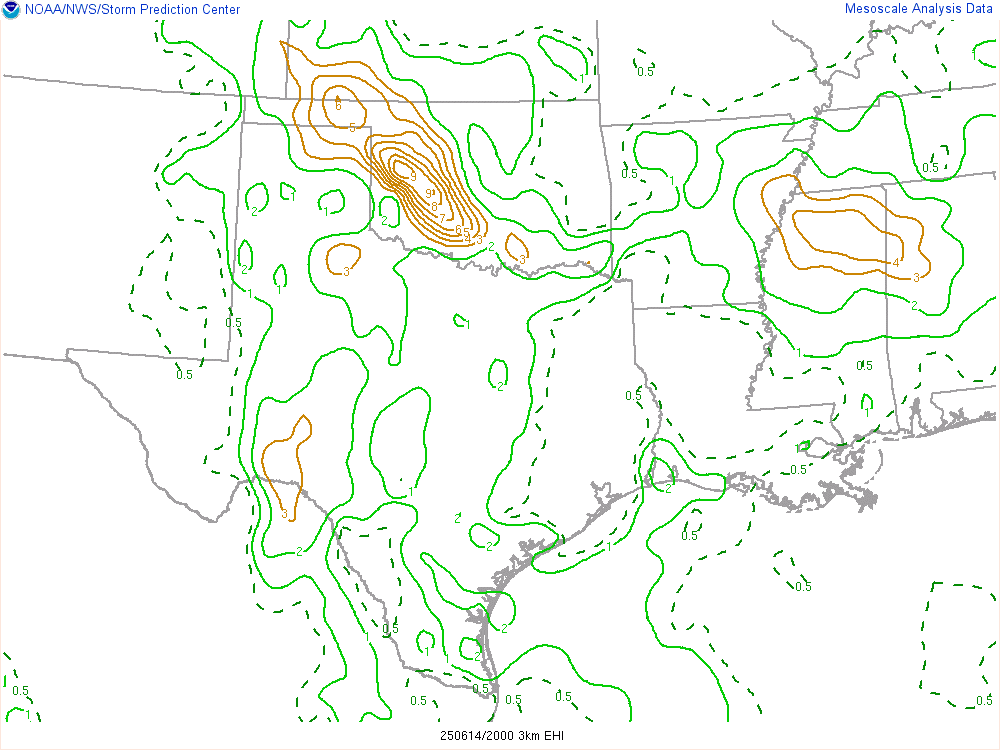
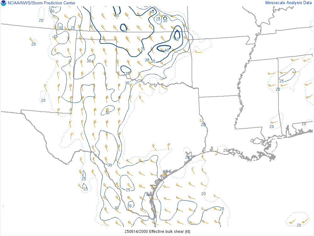
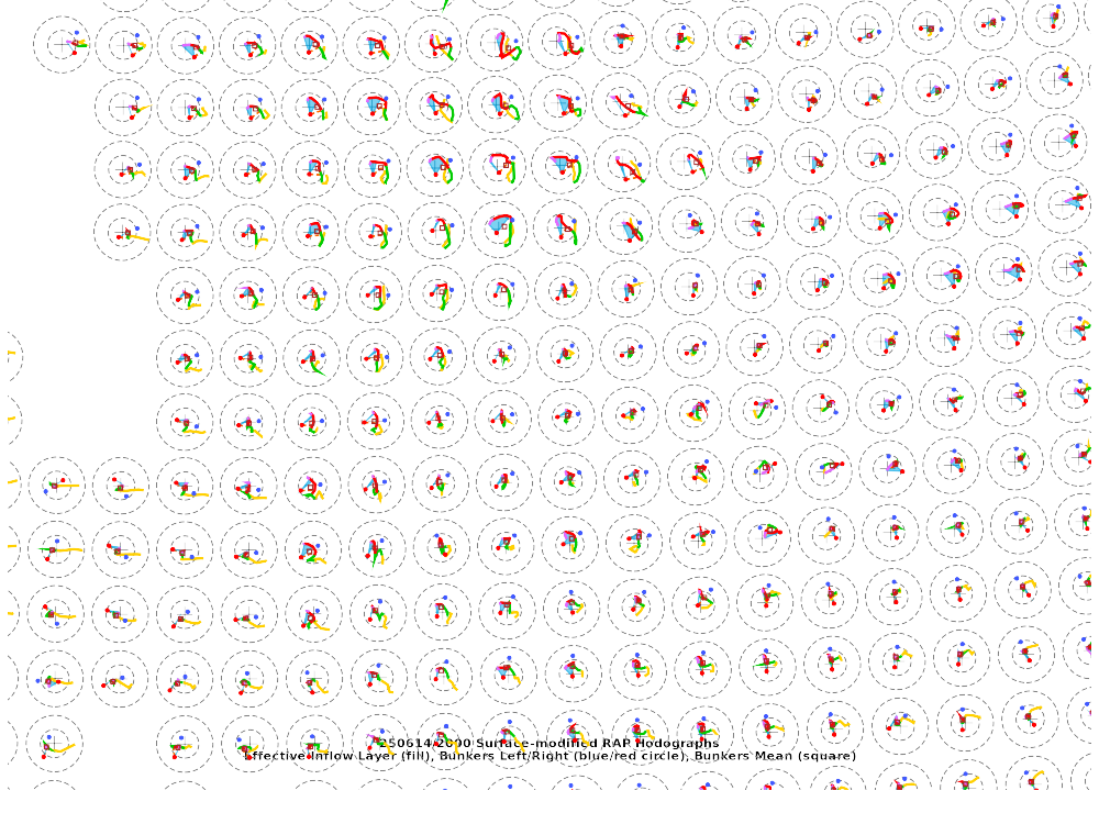
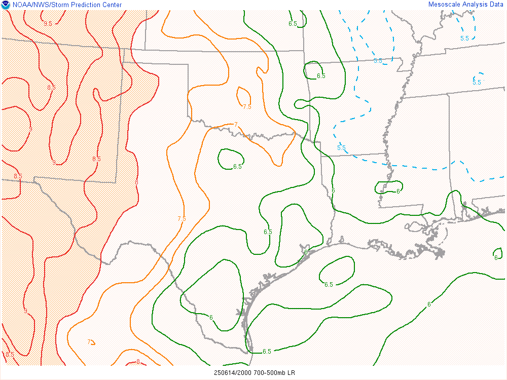
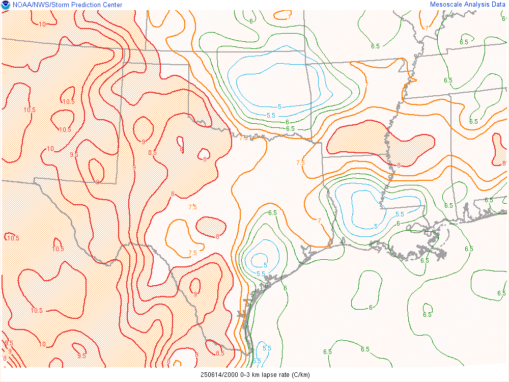
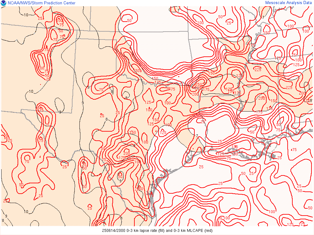
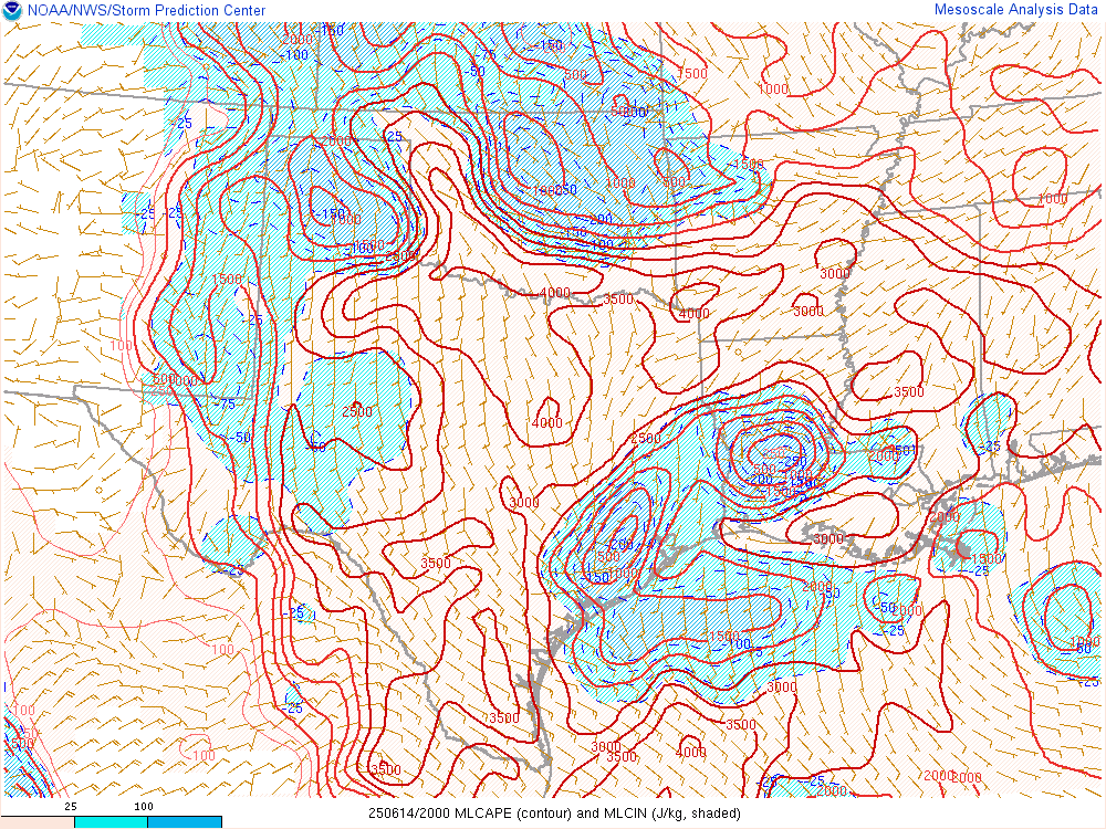
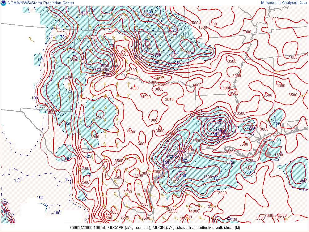
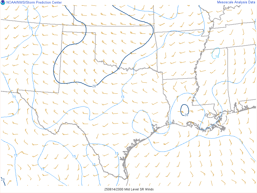
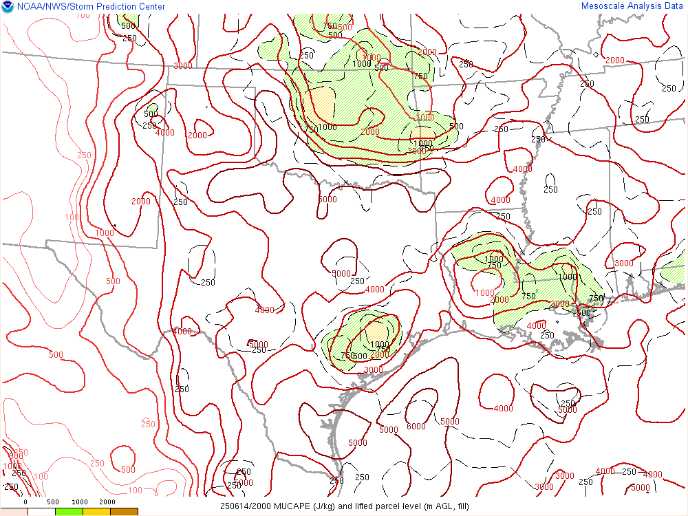
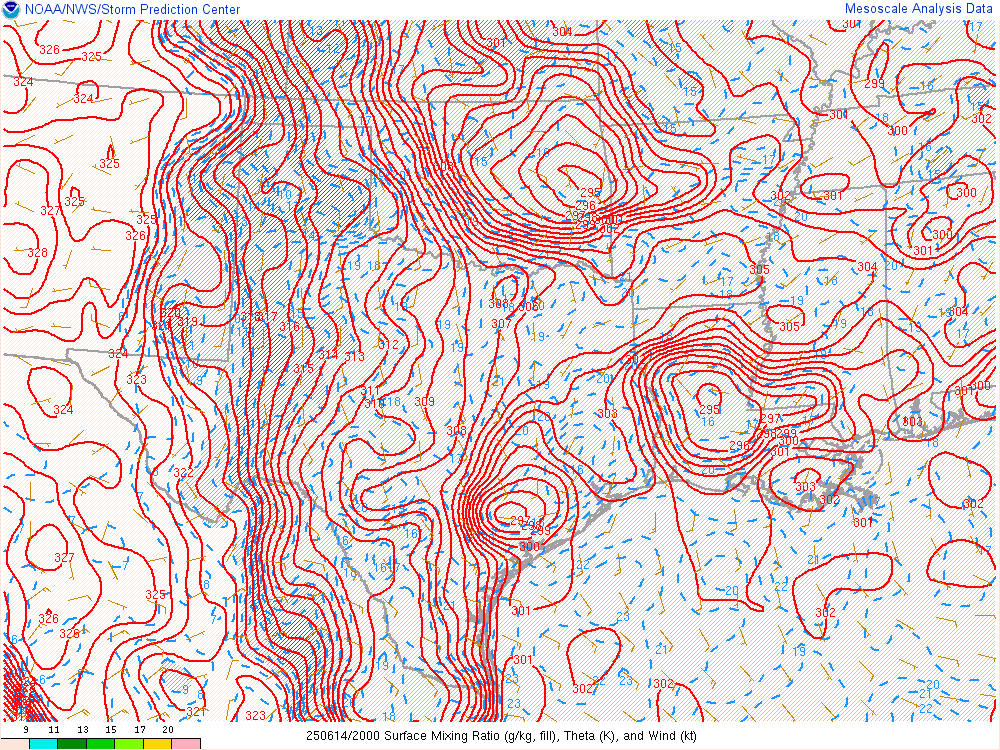
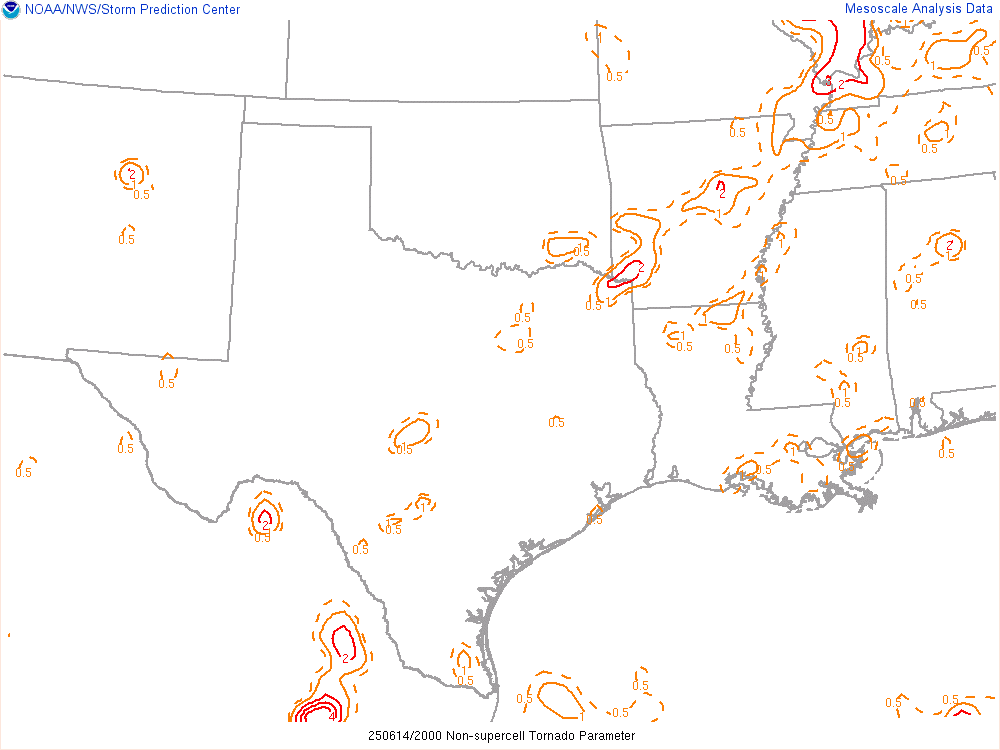
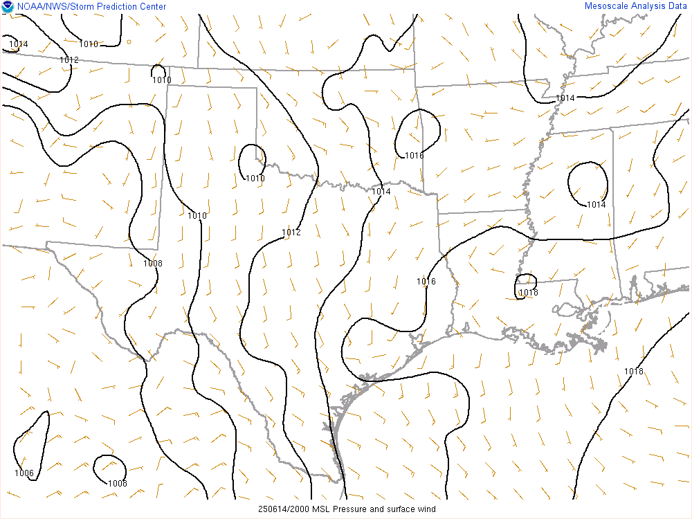
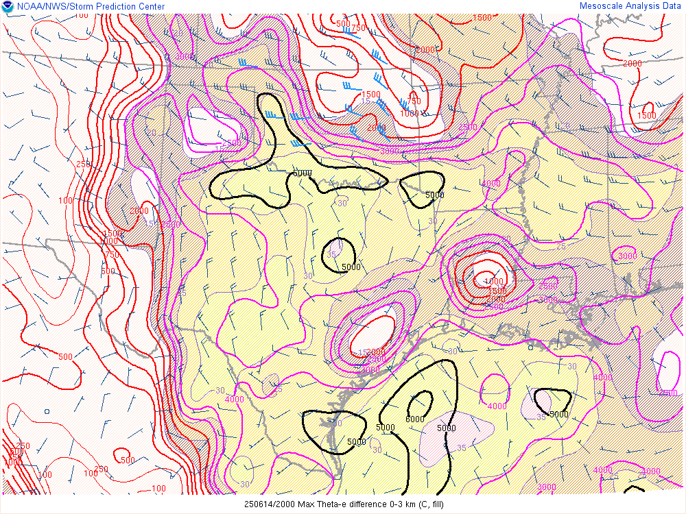
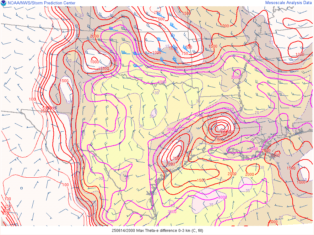
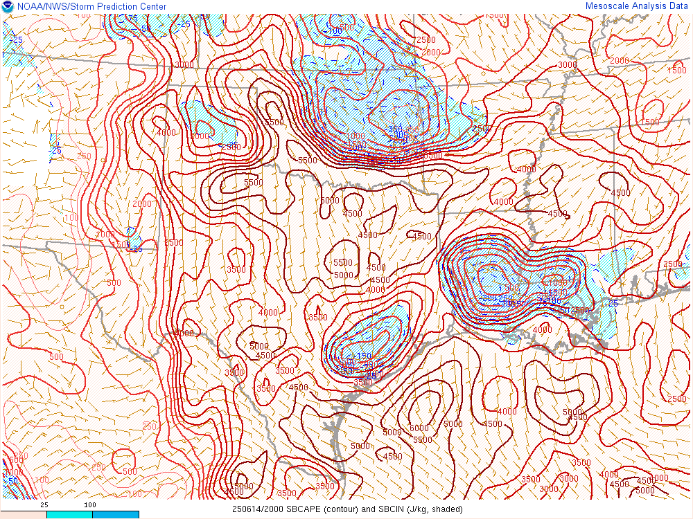
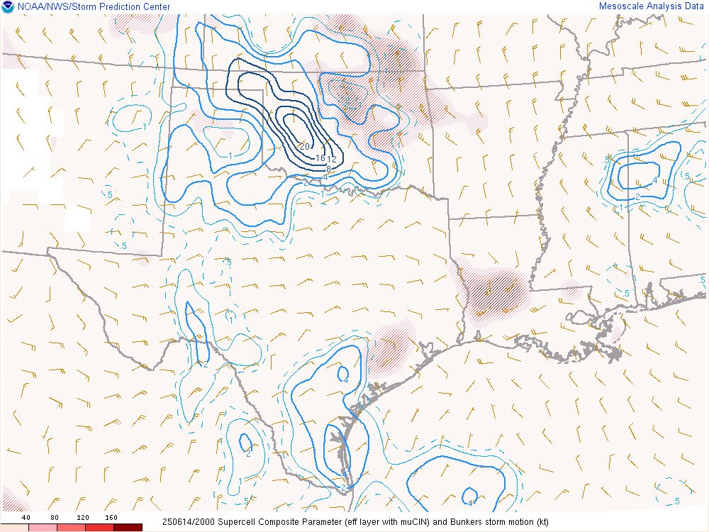
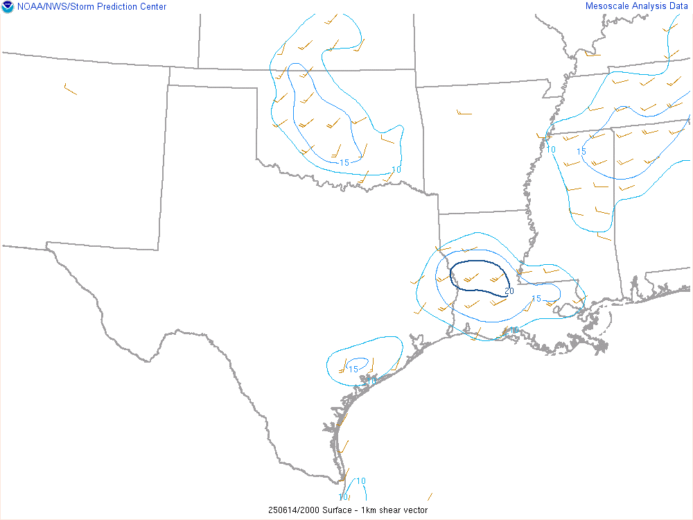
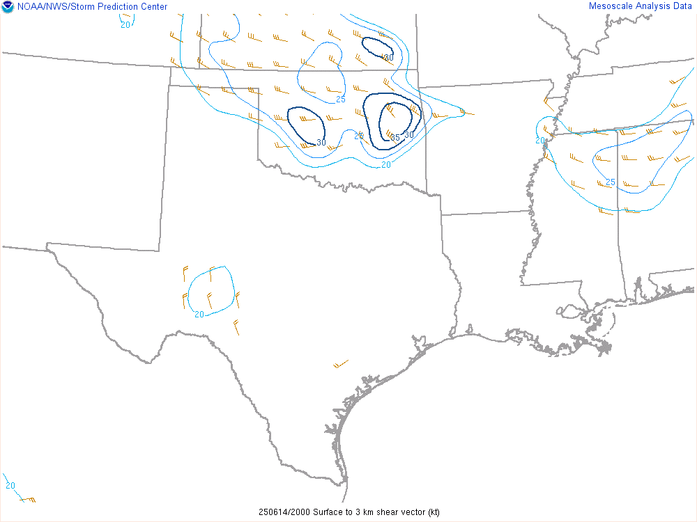
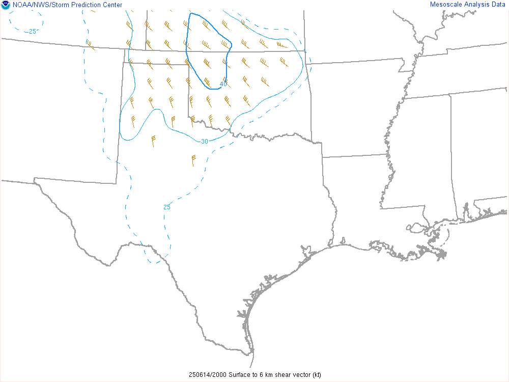
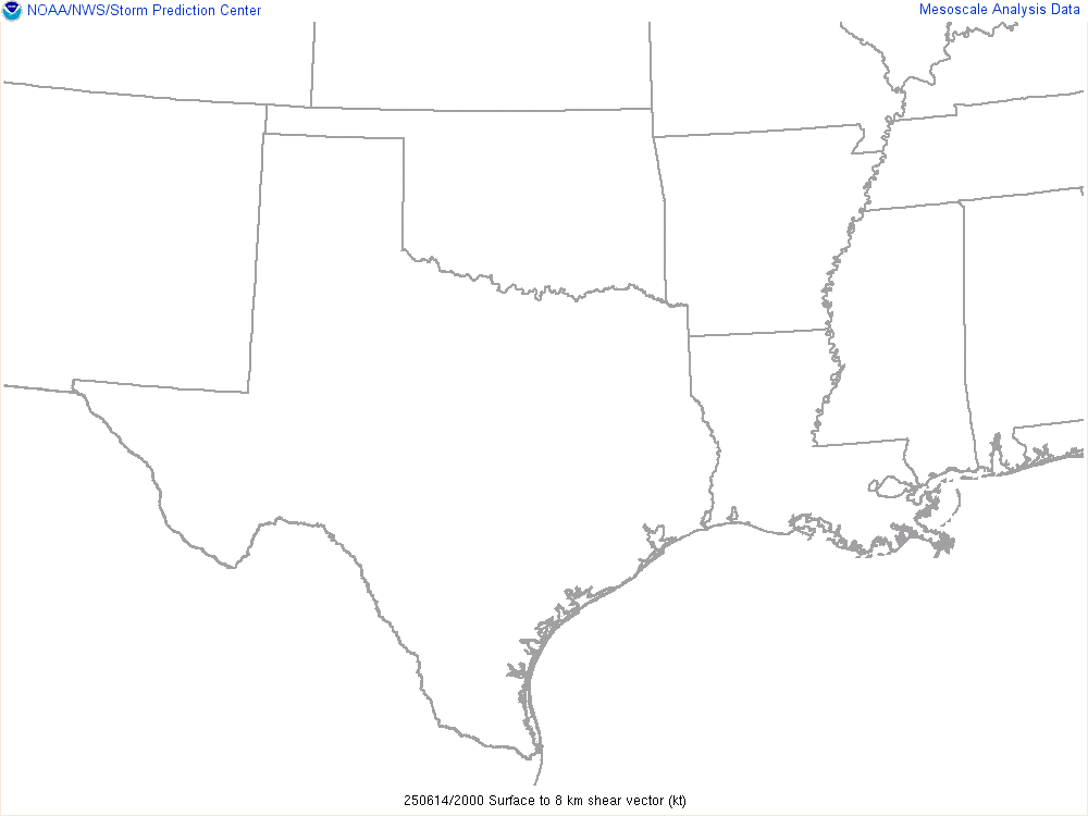
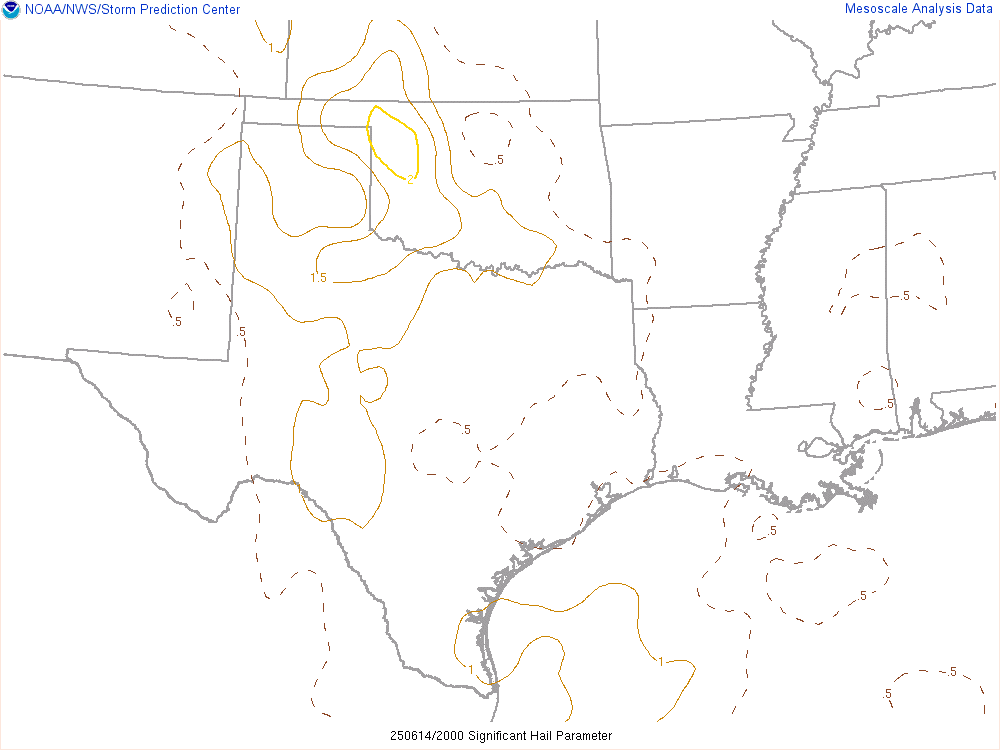
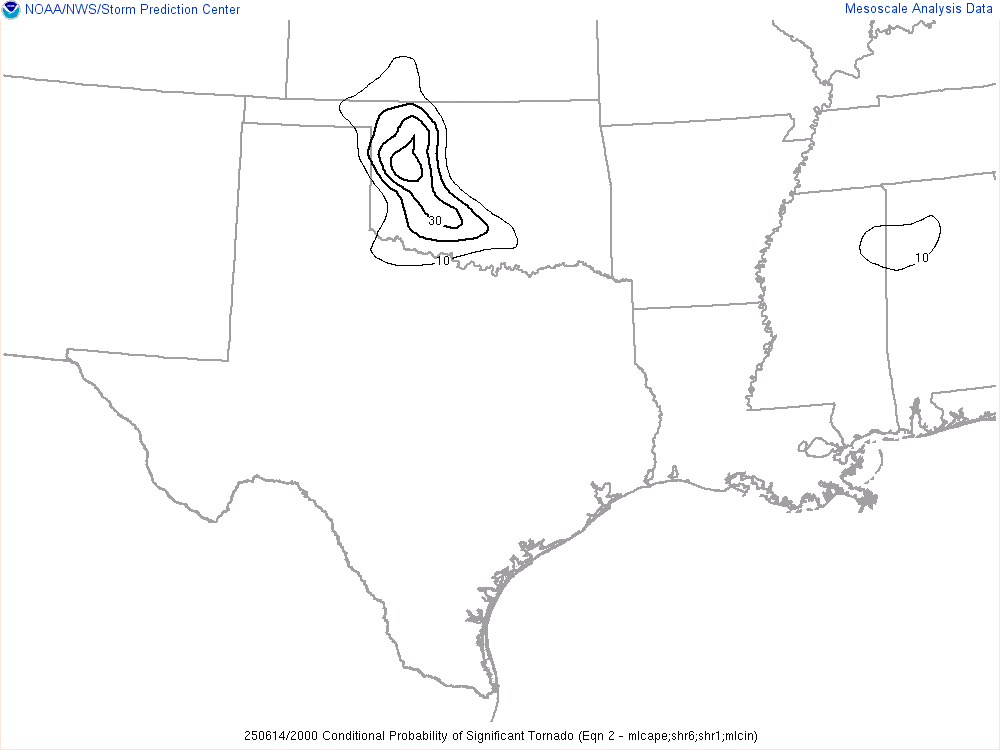
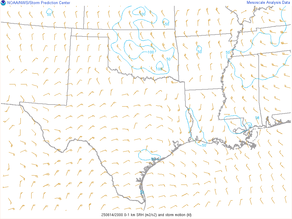
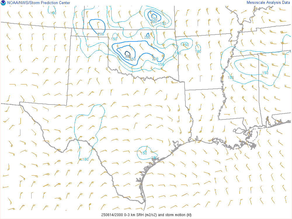
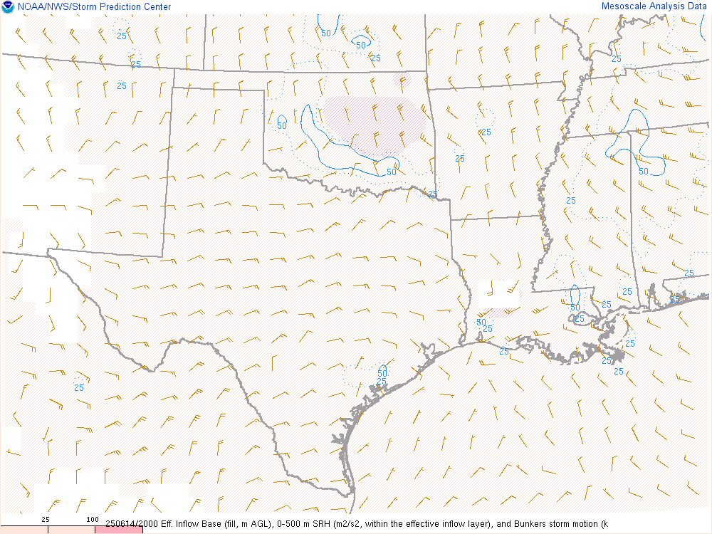
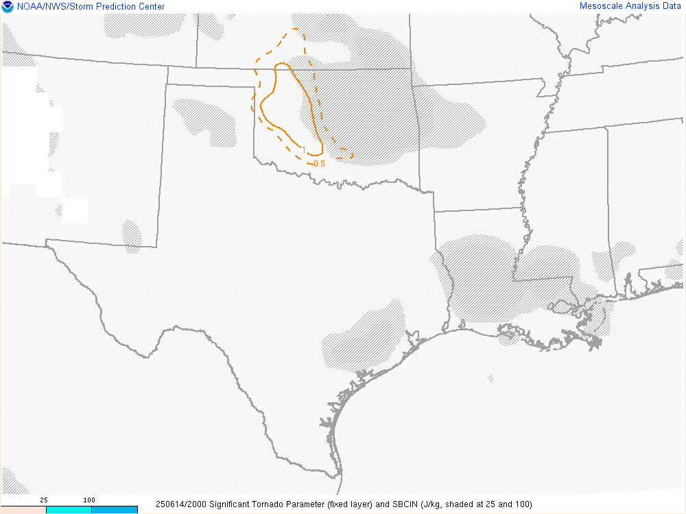
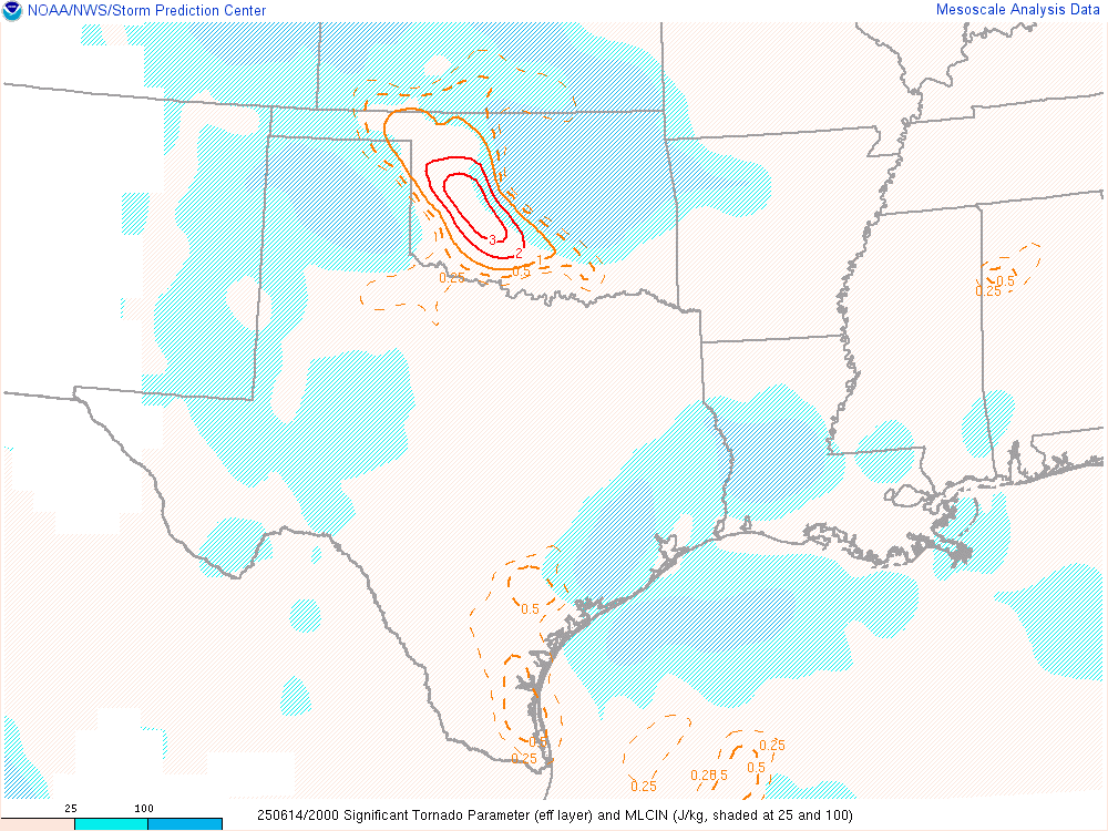
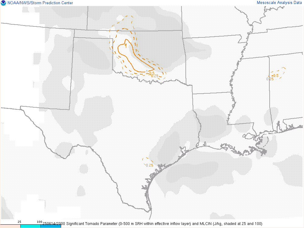
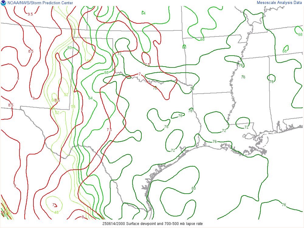
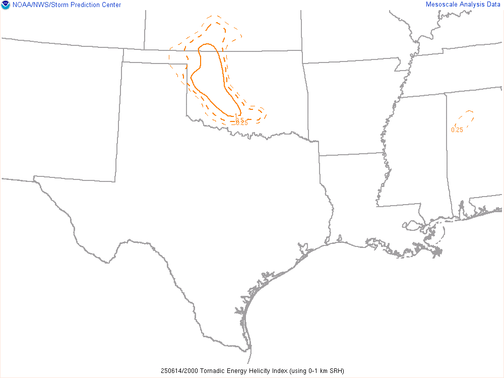
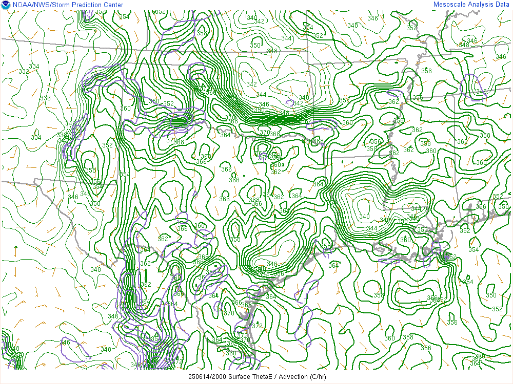
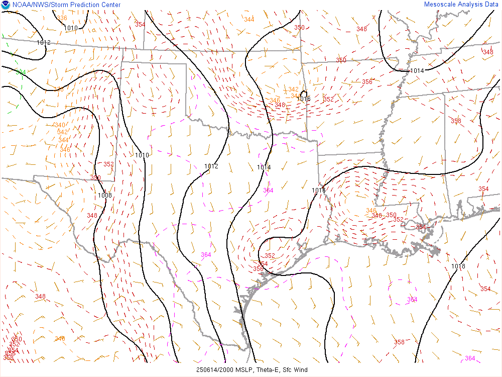
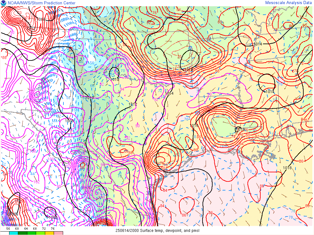
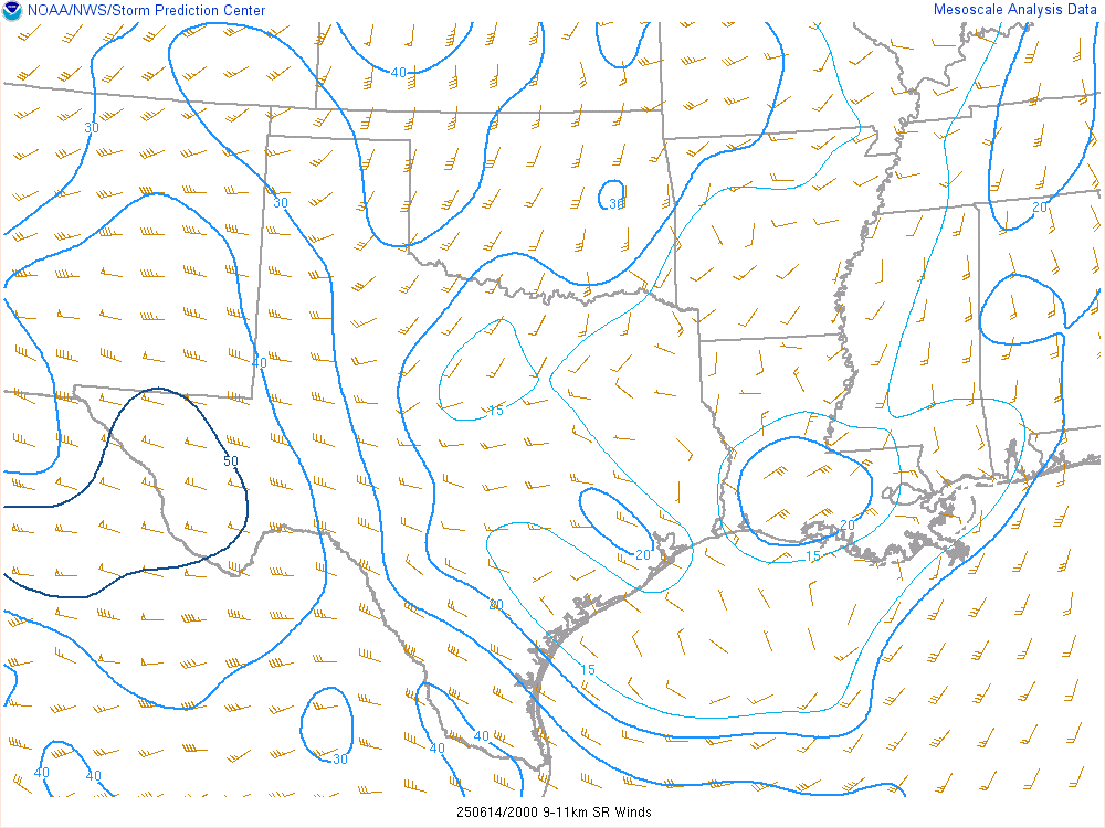
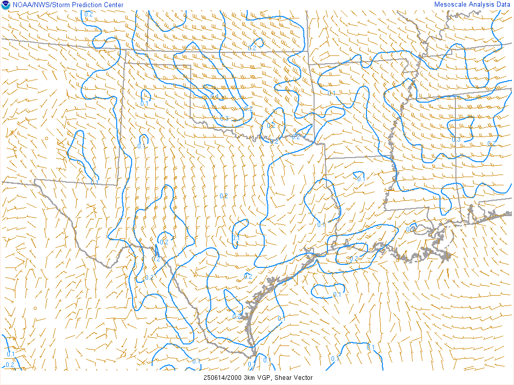
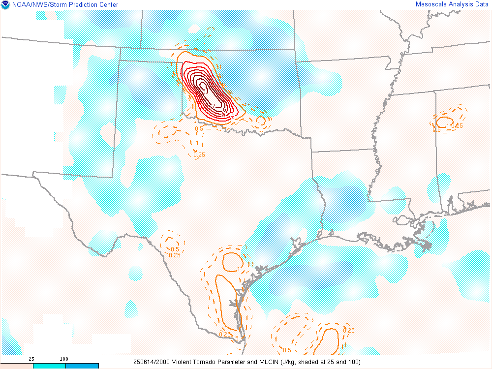
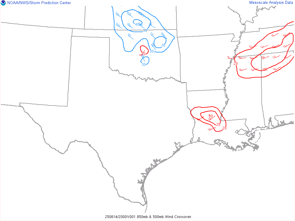
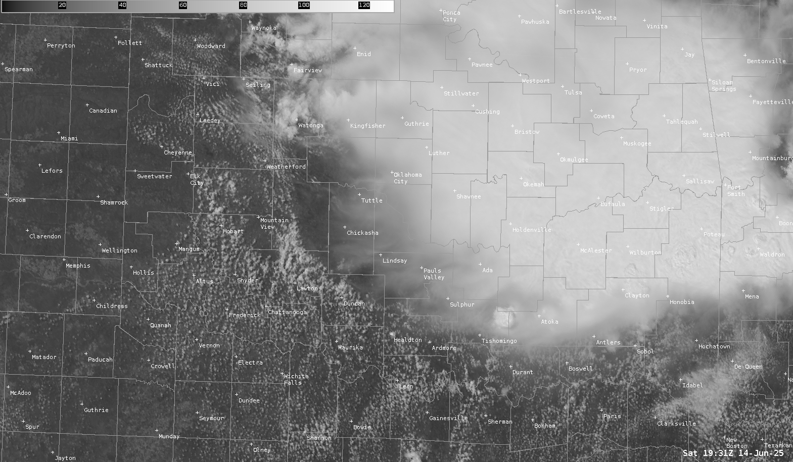
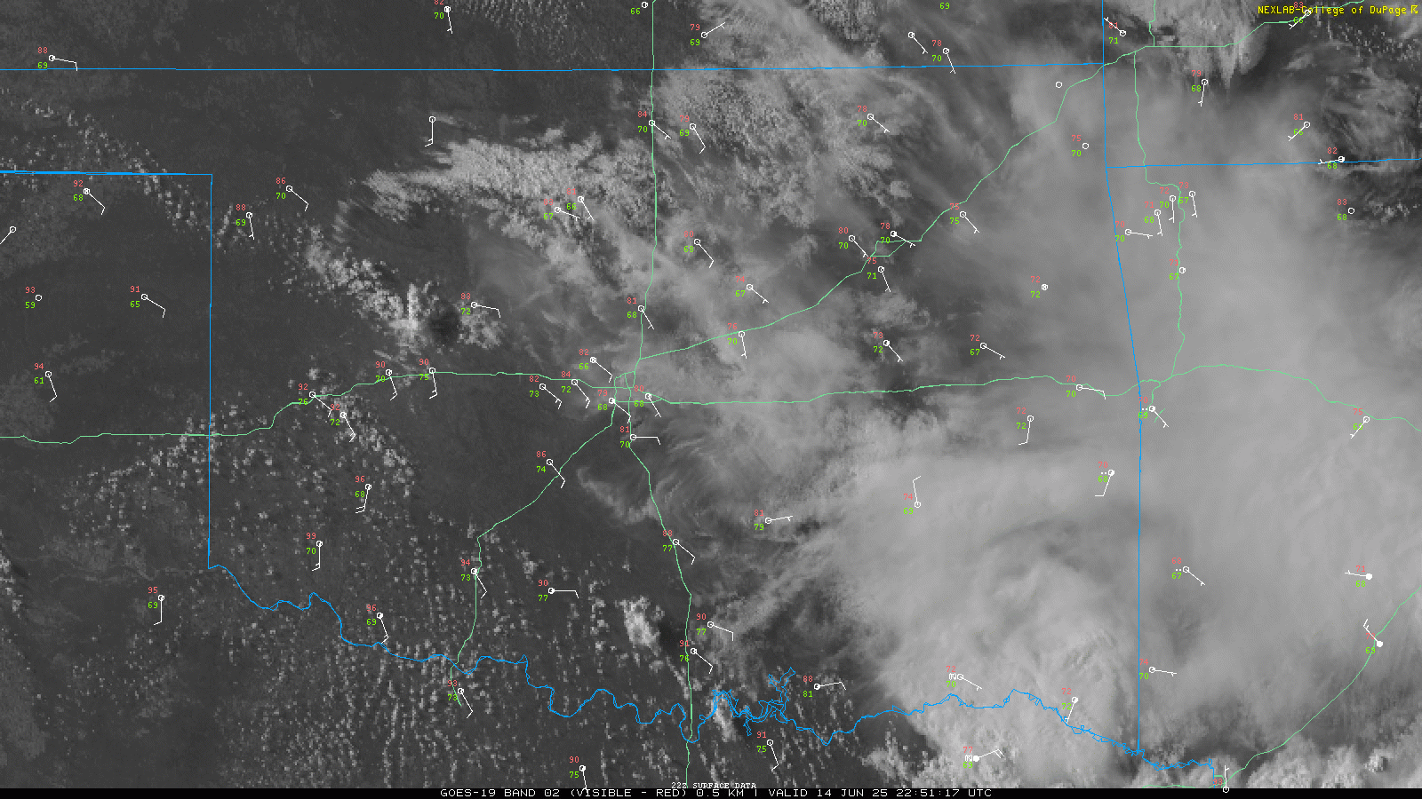
Not much of a forecast on this one as it was local and kind of a surprise day. As can be seen on the Mesoanalysis charts below, we had reasonably strong instability along an outflow boundary through Southern and Central/Western Oklahoma with a little bit of northwest 500mb flow.
19z SPC Mesoanalysis

2030z/330pm CDT Visible Satellite and Water Vapor Loop
Departure for Lawton area 3:45 pm CDT
Chance came by and picked me up and we were headed southwest on the turnpike towards Lawton. We’d end up stopping in Elgin as the storm popping near there would evaporate. I grabbed some Braums and spent almost an hour hanging out there before heading west to 62 and up to 19 and over to 58 north through Carnegie towards Weatherford.

We had to stop for a quick fuel/restroom stop in Weatherford before continuing north to the storm near Thomas. The storm had a decent wall cloud and was rotating slowly.

00Z Norman Oklahoma Upper Air Sounding
The 00Z Norman sounding showed some excellent turning in the atmosphere as well as a reasonably unstable airmass. This was taken on the cold side of the outflow boundary.

Visible Satellite Loop from 0030z/730 pm CDT
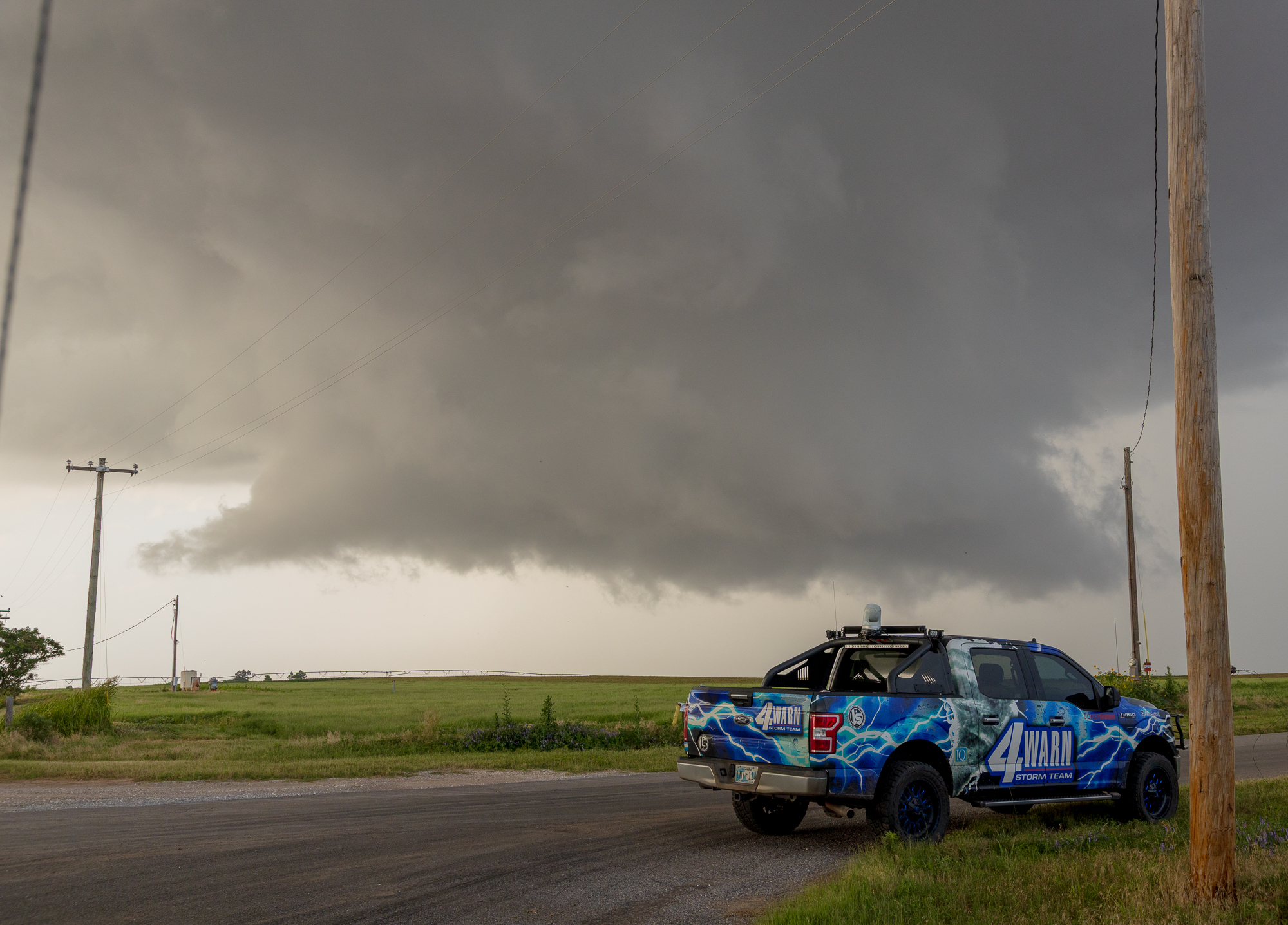
Hydro Oklahoma Supercell Structure
After dropping south and getting out from underneath the base, it would become obvious this storm had some pretty structure. With the slow motion, we were able to hang out in the same place for quite some time.


Just as quickly as the storm fired up, it slowly evaporated as the diurnal heating cycle came to an end. We’d head back to the house as it got dark.

Not bad for a local Saturday chase. No tornado, but decent structure close to OKC Metro.


