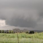
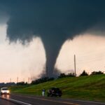
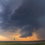
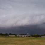
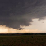
Storm Chase Details
Miles Logged: 174
States Chased: OK
Severe Risks: SPC Outlooks
Severe Reports: Storm Reports
I pulled into my garage at 2:30am tired as can be, so I wasn’t up very early on Saturday morning. I had low expectations of chasing Saturday, so I didn’t even set an alarm.
Morning Forecast
I didn’t do much of a forecast. I had visible satellite and radar up and neither screamed “severe weather day”. All the riding in the car the previous day jacked up my back.
Afternoon Sounding
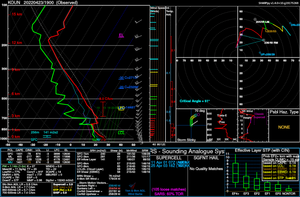
Norman did a special 19Z sounding. This was one of my first real looks at what was going on. As you can see, the cap was quite stout, but the shear profile was very good for supercells.
Still, I was not really convinced we’d get some storms. However, I did grab a quick shower and take my car to the car wash and get the gas tank full. I was basically ready to leave if need be. I’d still sit around until just a few minutes before the tornado watch was issued.
Hitting the Road
I was able to get out and onto I-35 southbound and on State Highway 9 westbound towards the storms which were still west quite a distance. I ended up in Minco, then headed a bit north, anticipating the best looking storm would impact western Mustang. With the river in the way, I thought Union City would be a good starting point.
Unfortunately it became very obvious very quick that I’d need to get south back to Minco. When I got to Minco, I found a nice hill southwest of town and setup on it. Here’s a time lapse video
Minco/Tuttle wrap up
The supercell was HP in nature, so my strategy was to stay in the cage as much as I could. The storm would be moving across the metro, though, so this would be almost impossible.
As I headed east on highway 37, it seemed the storm was wrapping up. Unfortunately the RFD also surged, and cut me off from viewing. I was stuck in the RFD/Hook precip for the next 10 minutes or so as I navigated around Tuttle and over to highway 4. I then headed north into Mustang and east on highway 152.
Will Rogers World Airport
The first stop after Mustang was 89th and Council, and then I took 104th across and up the east side of Will Rogers World Airport.
Crossing the City
I opted to take 59th street over, which resulted in almost a full set of green lights. I don’t know how I got that lucky, but I found myself at I-35 pretty quickly and dropped south into the wrap around RFD on I-240 east. After the exit for Eastern, I was able to get out of the rain and god a decent look at the storm as I drove by Tinker Air Force Base
Choctaw to Harrah
I took Choctaw Rd. north to Reno and then over to the Kickapoo turnpike. I decided to give up at the turnpike as it was late, and I was going to meet JR for wings after the chase.
Dropping back to Norman
As I was heading back to I-40, it sounded as if there was some power flashes in Norman. Due to the fact that I was in good position, I took Peebly Rd south to highway 9. As it’d turn out, the storm behind it was mostly just bark.
