Storm Chase Details
Miles Logged: 374
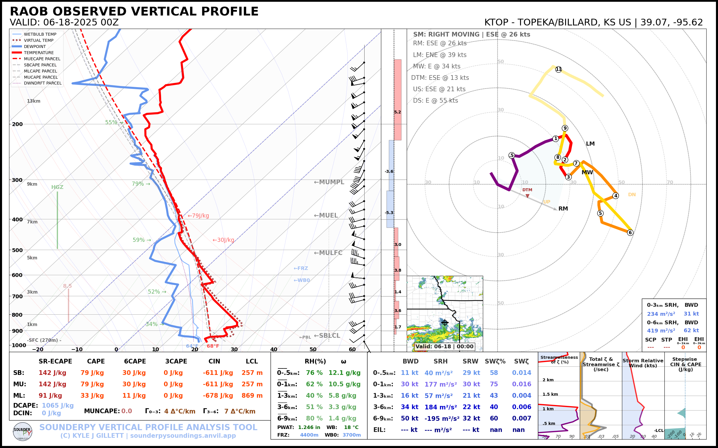
States Chased: OK, KS
Largest Hail Encountered: 0.50 in.
Severe Risks: SPC Outlooks
Severe Reports: Storm Reports
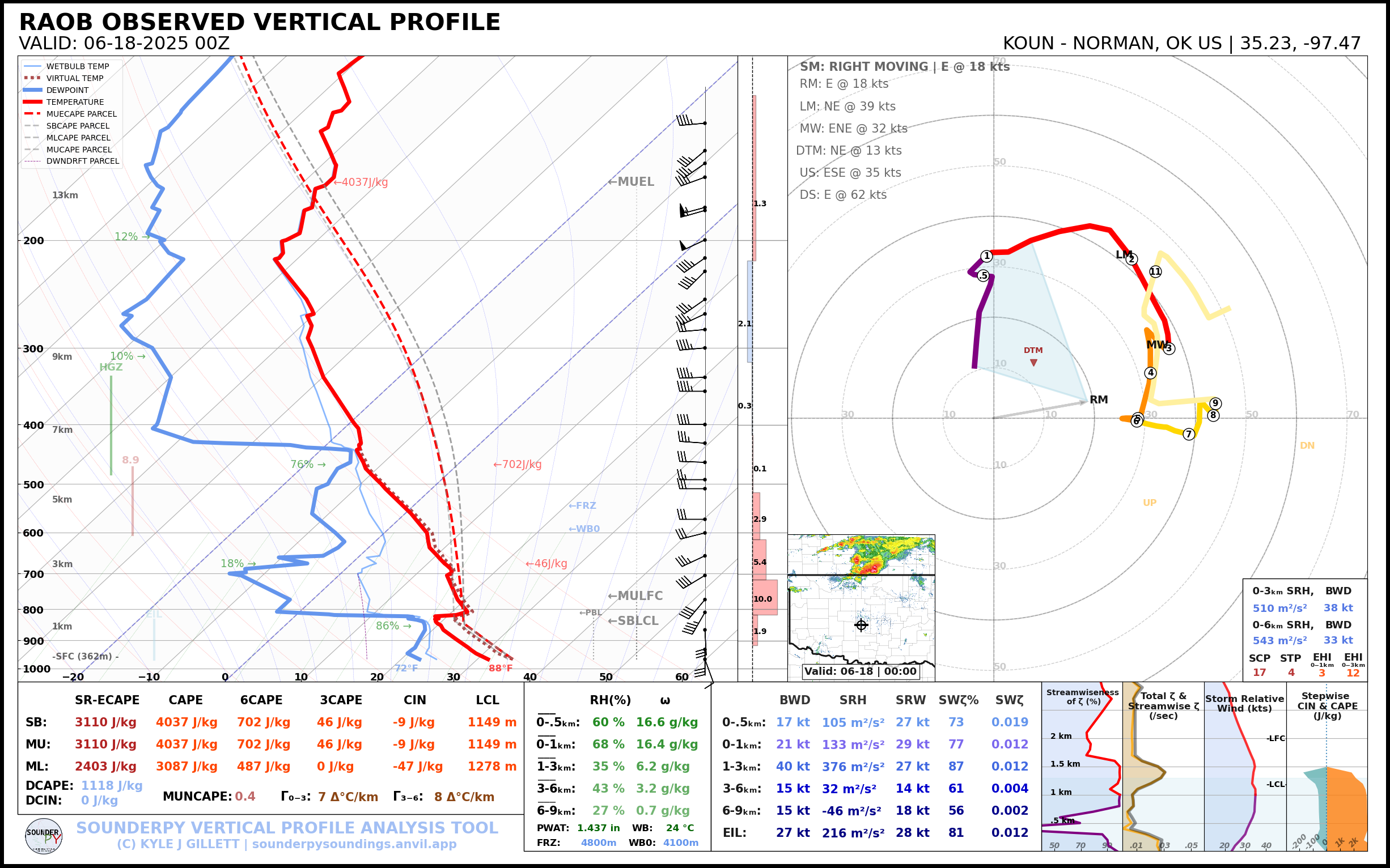
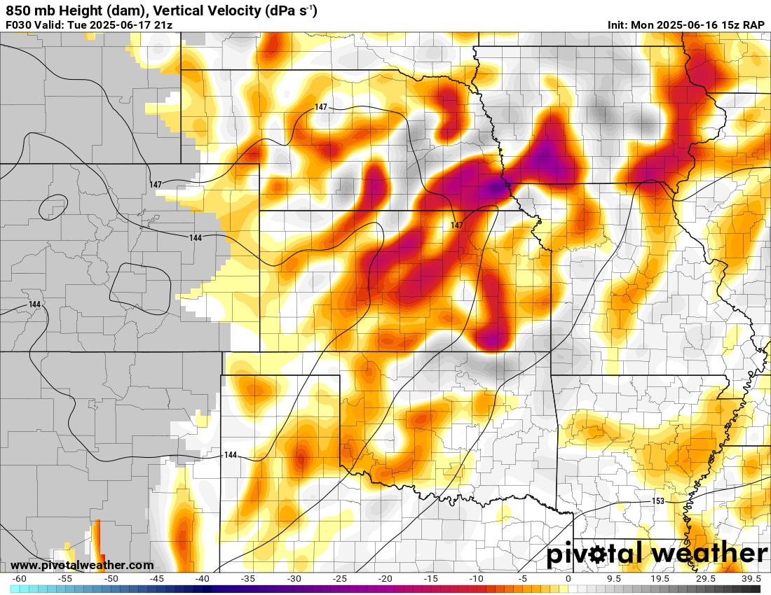
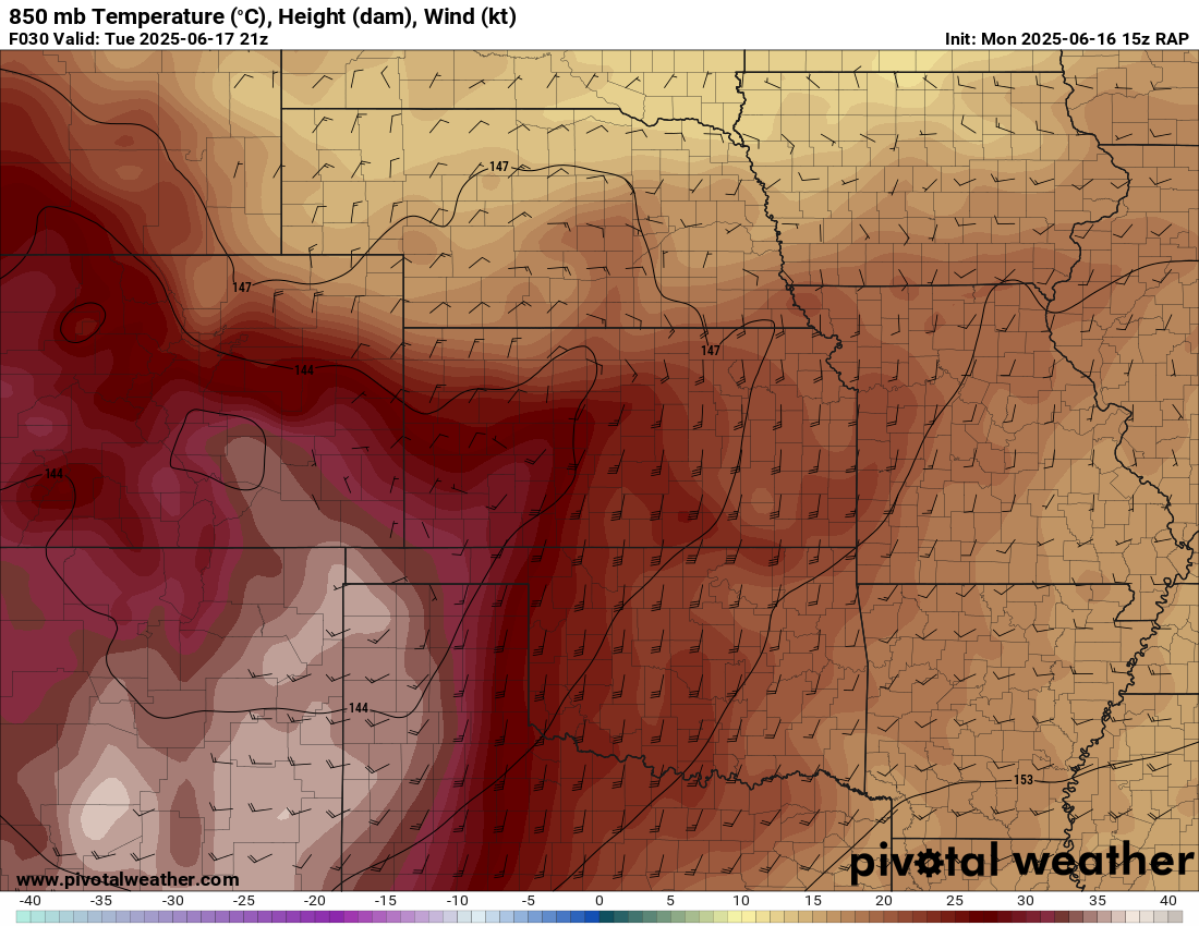
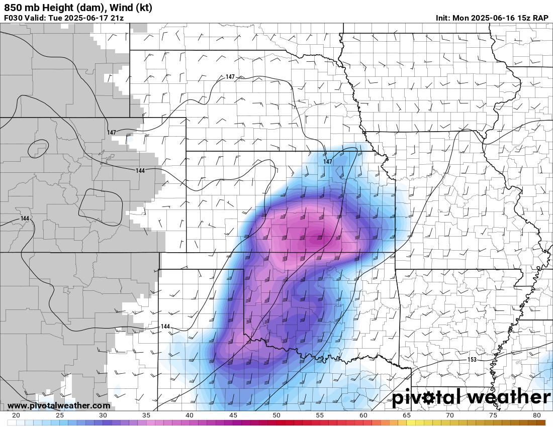
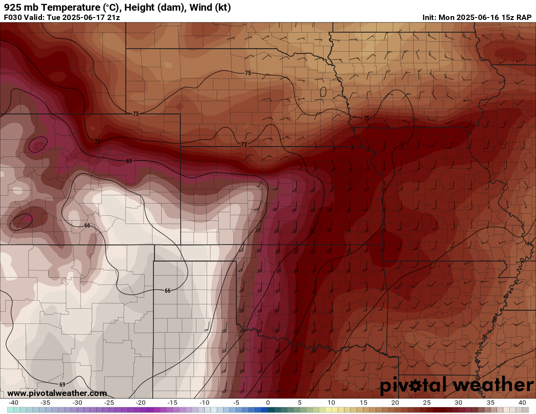
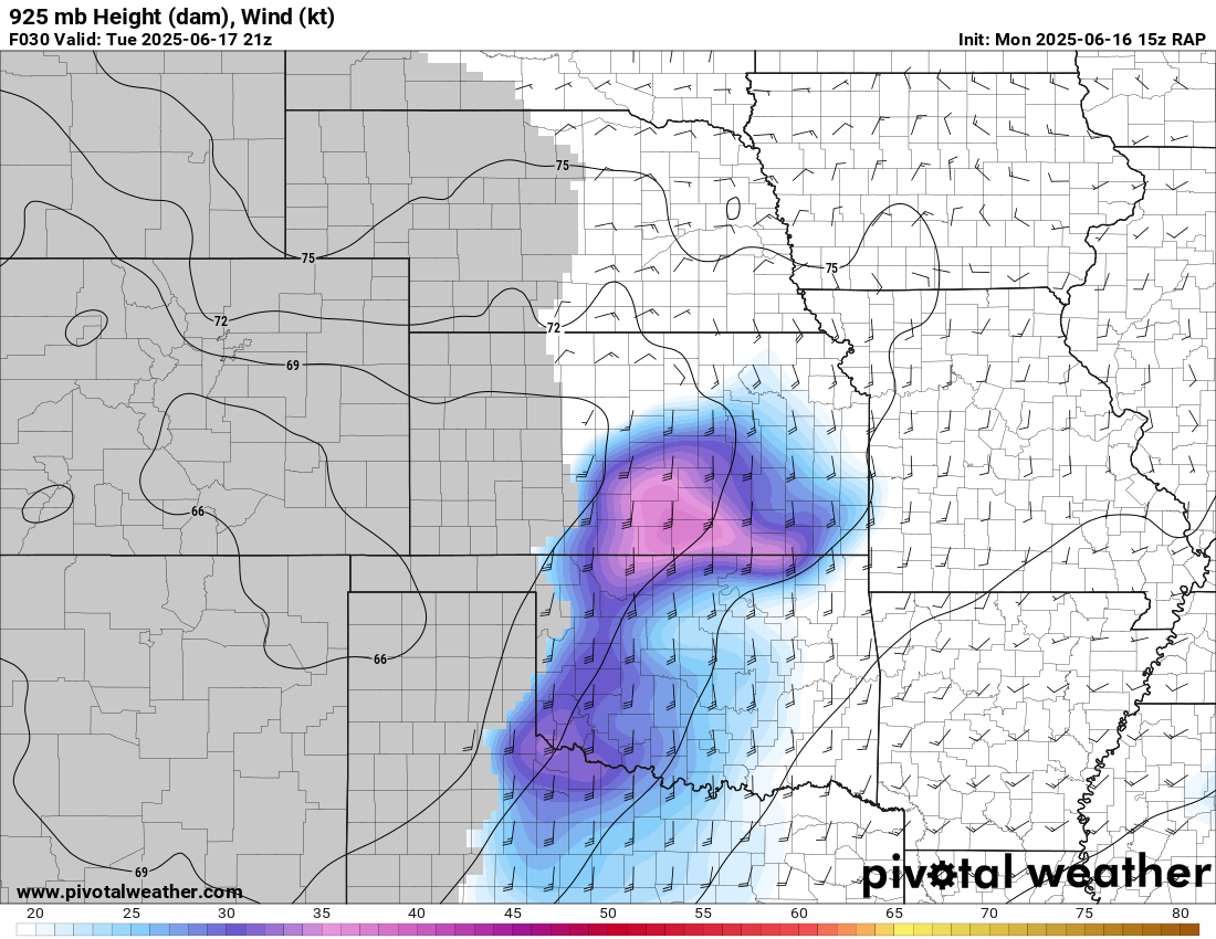
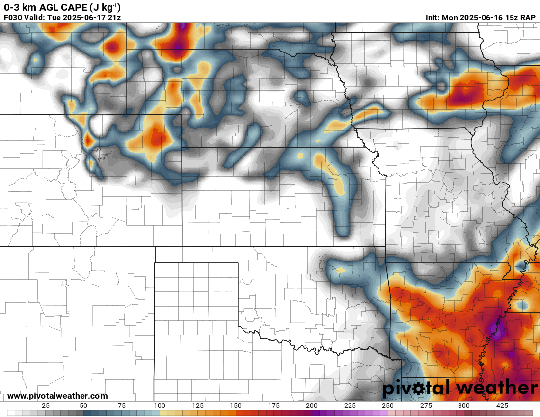
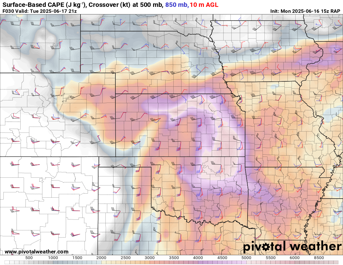
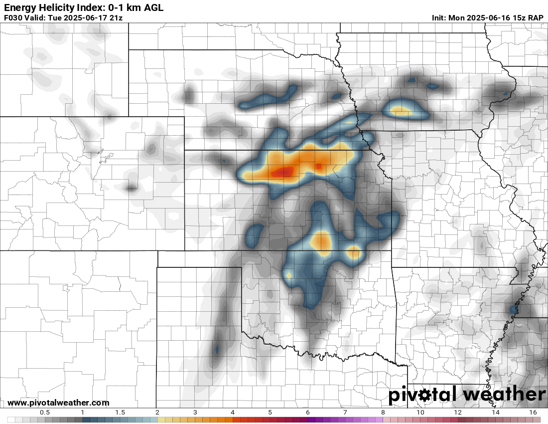
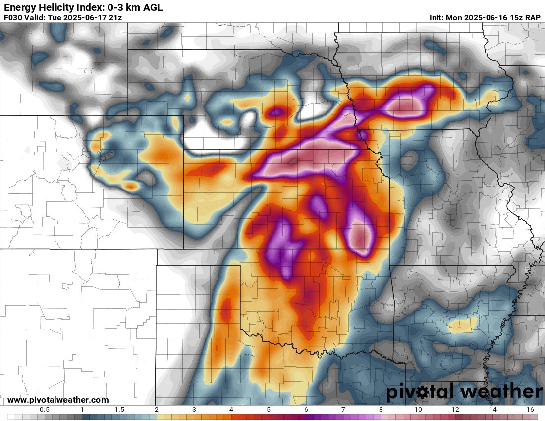
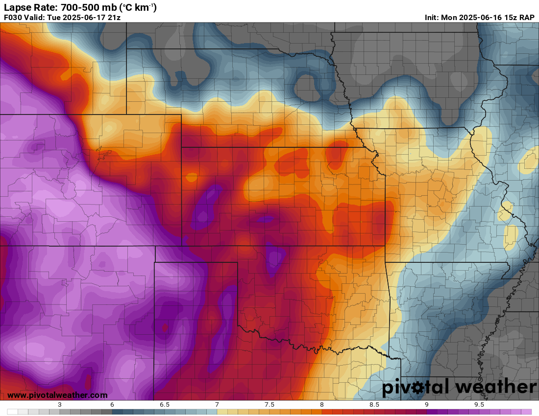
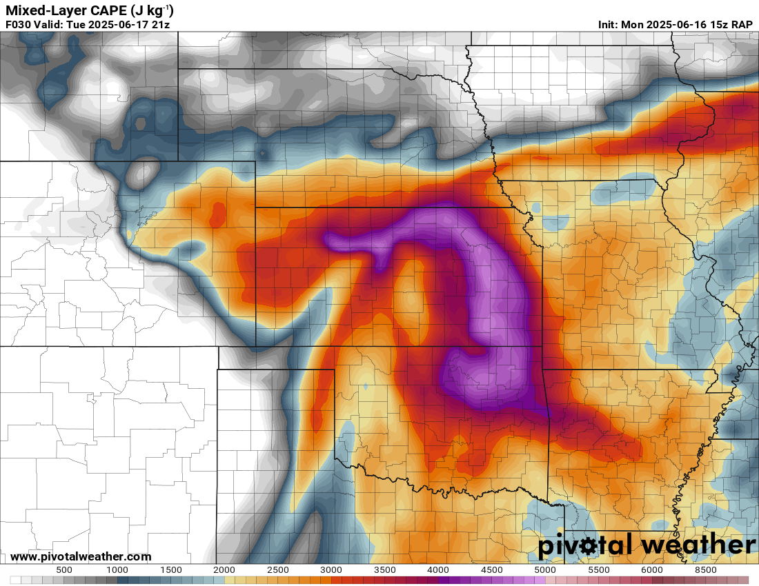
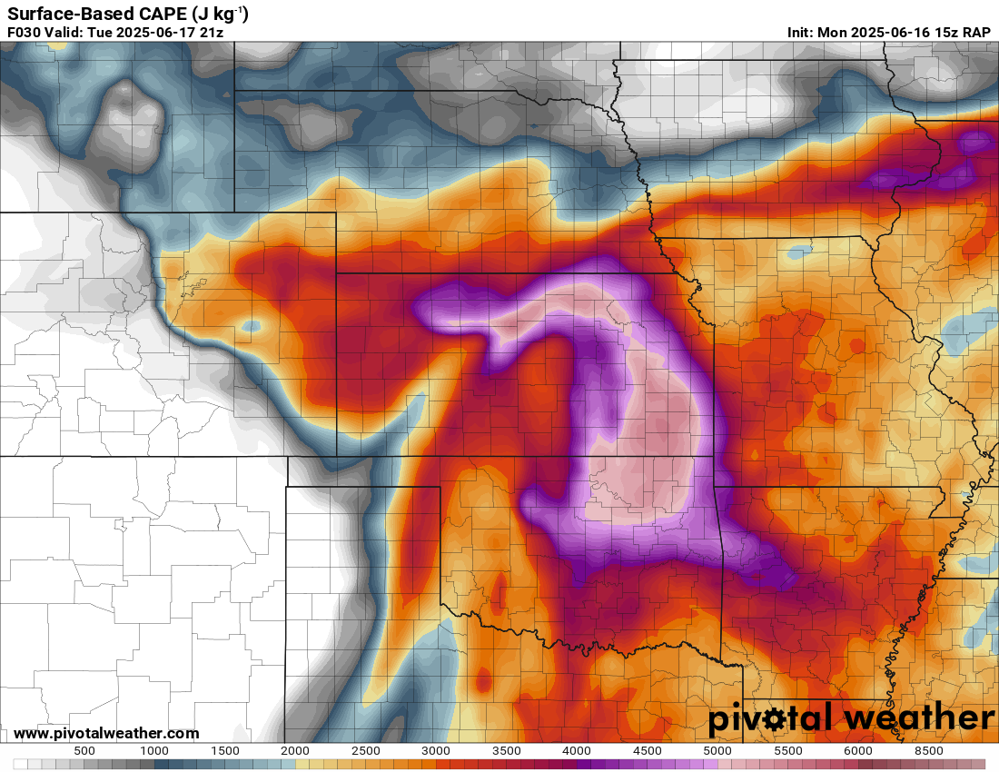
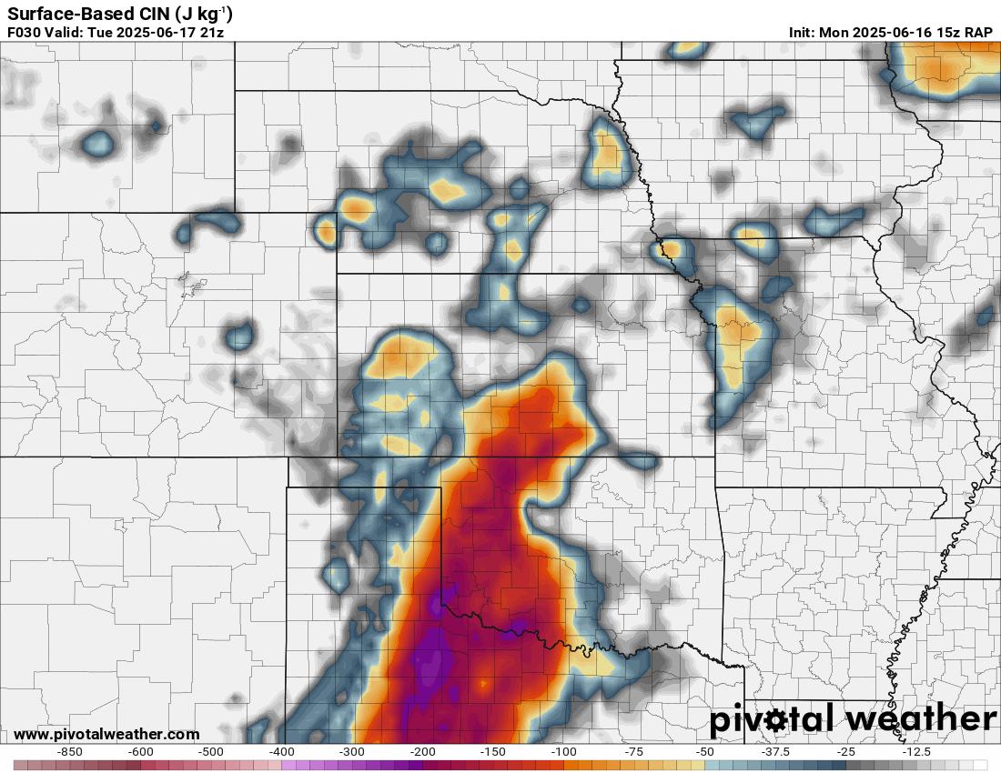
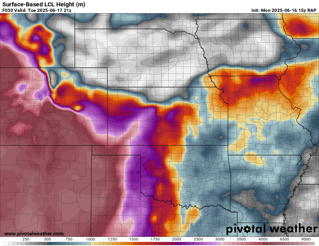
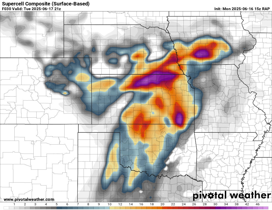
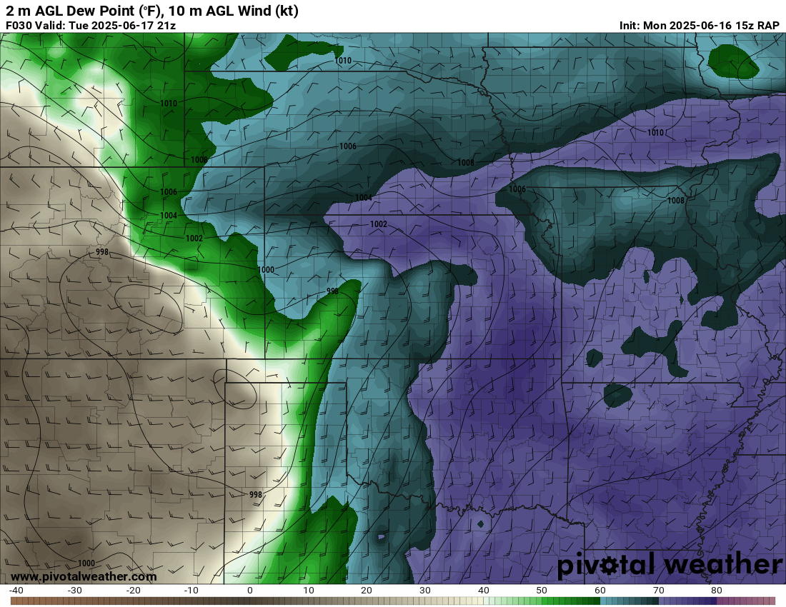
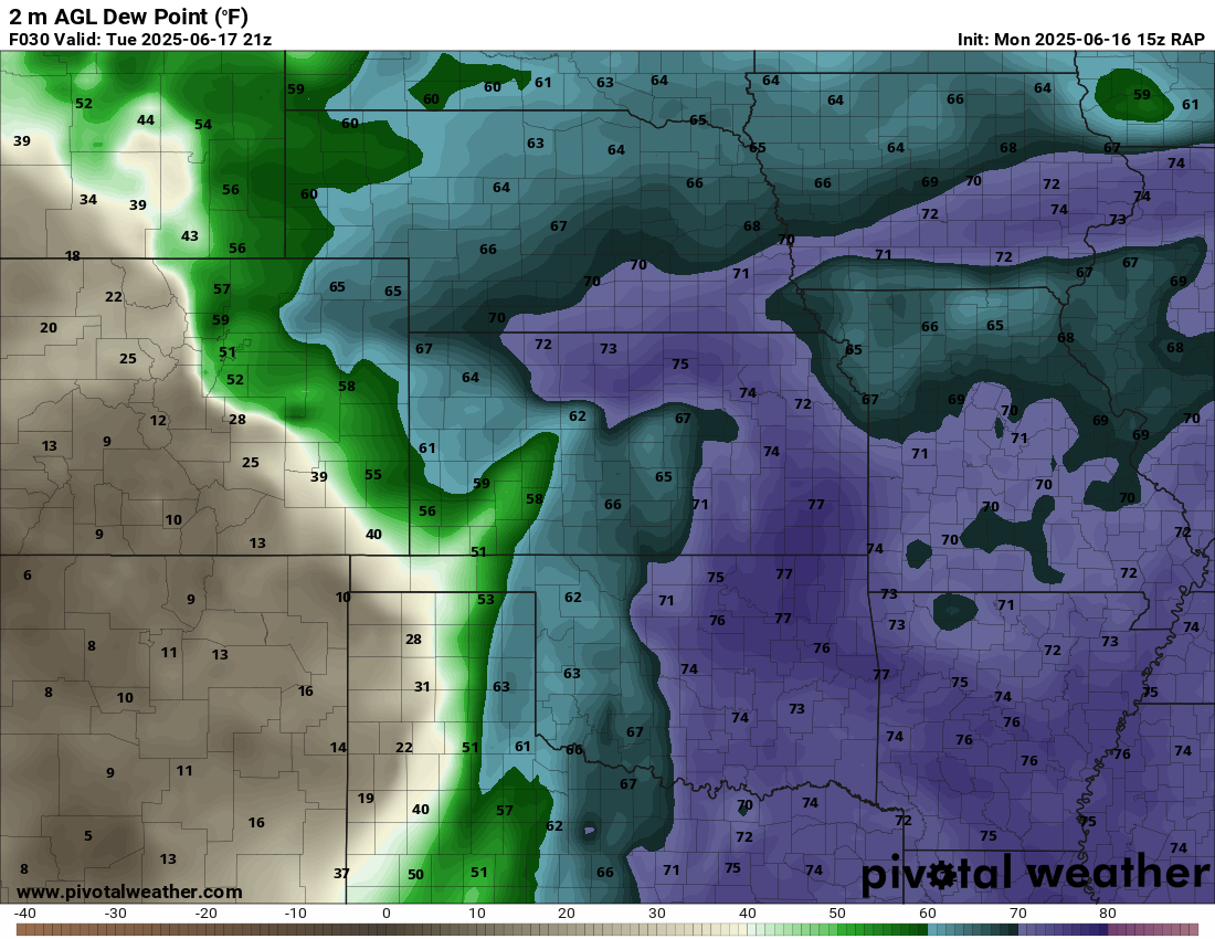
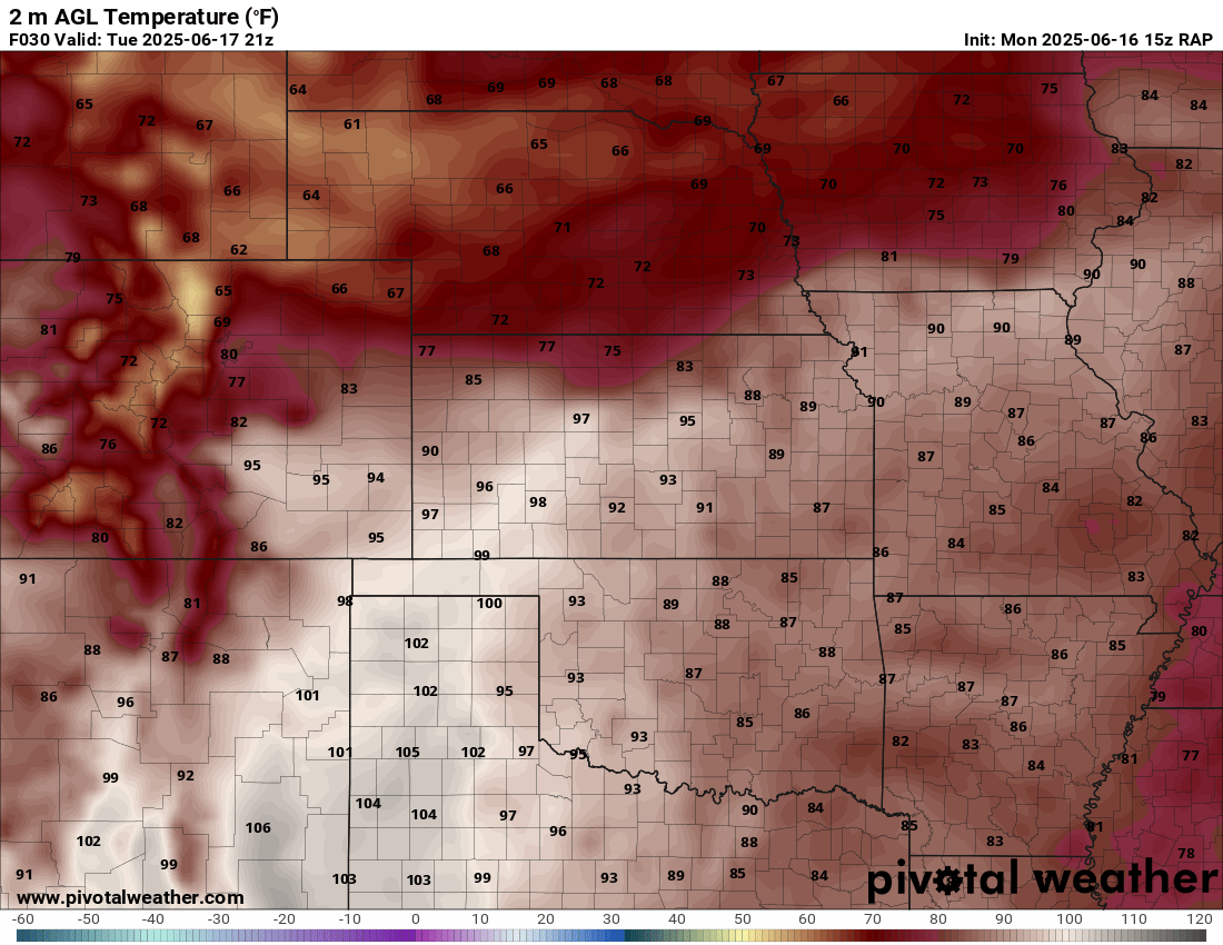
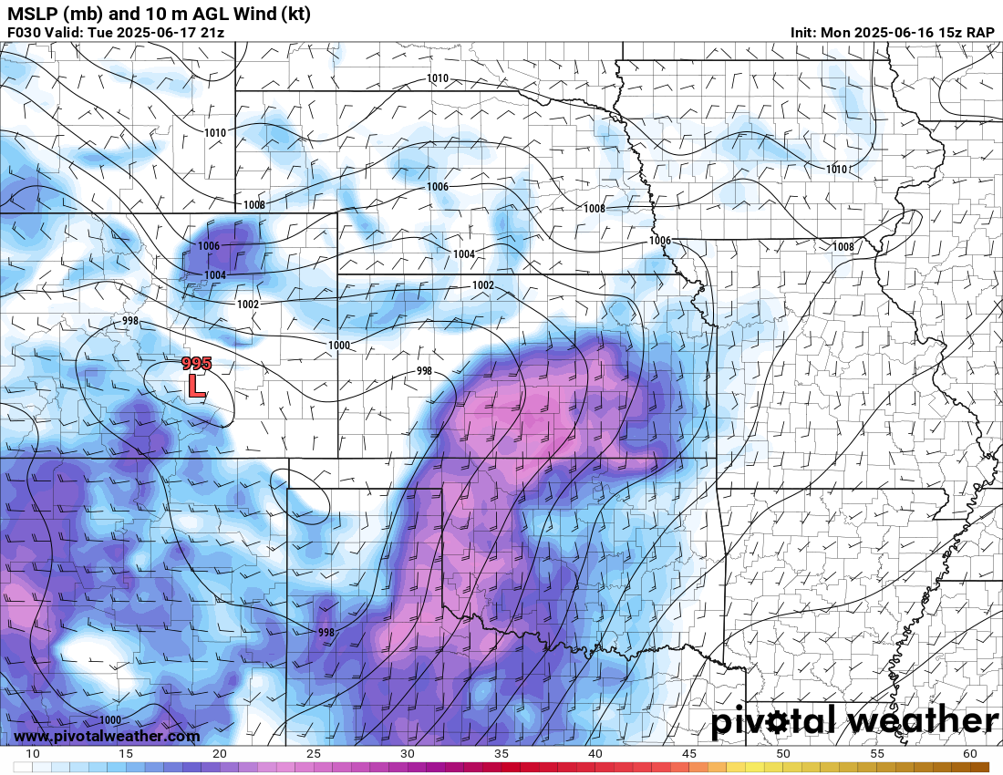
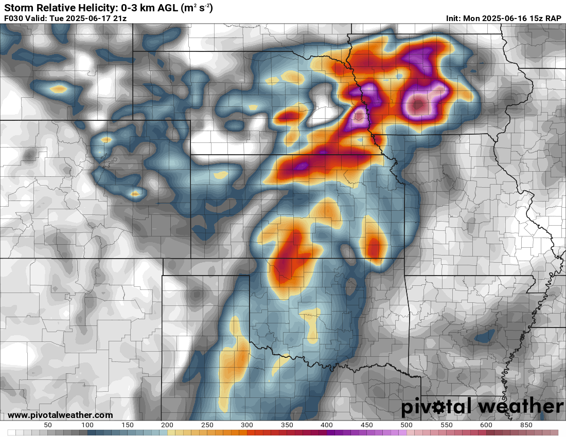
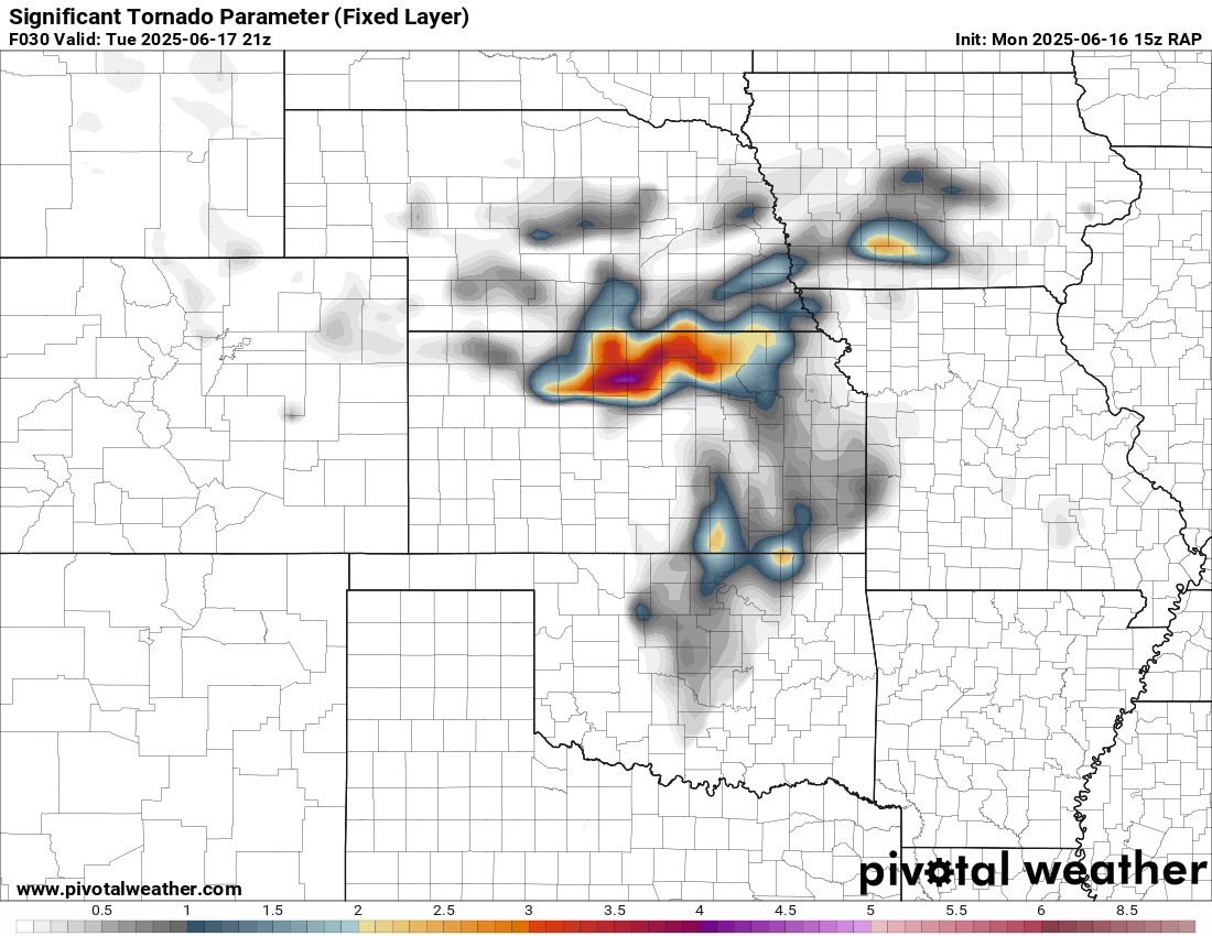
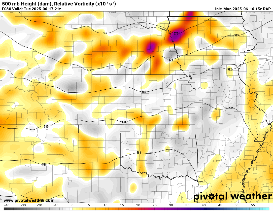
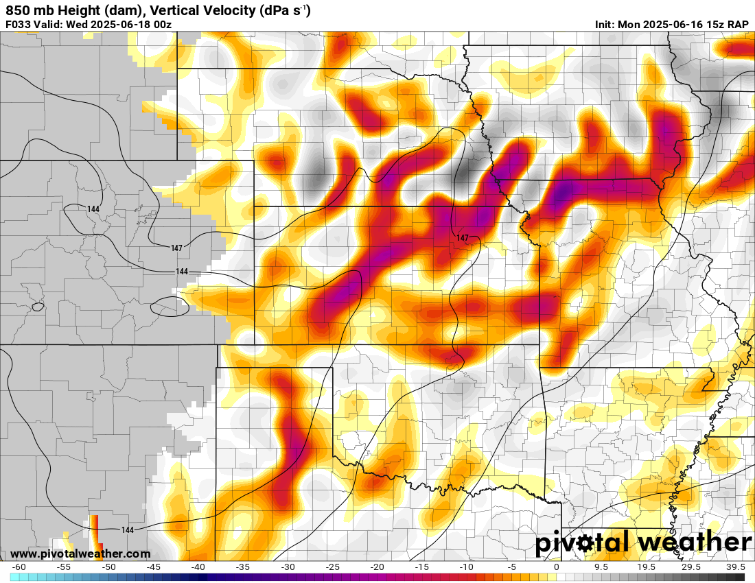
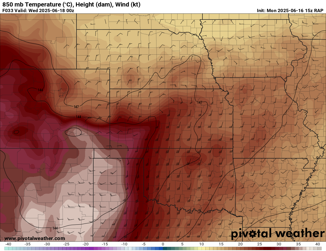
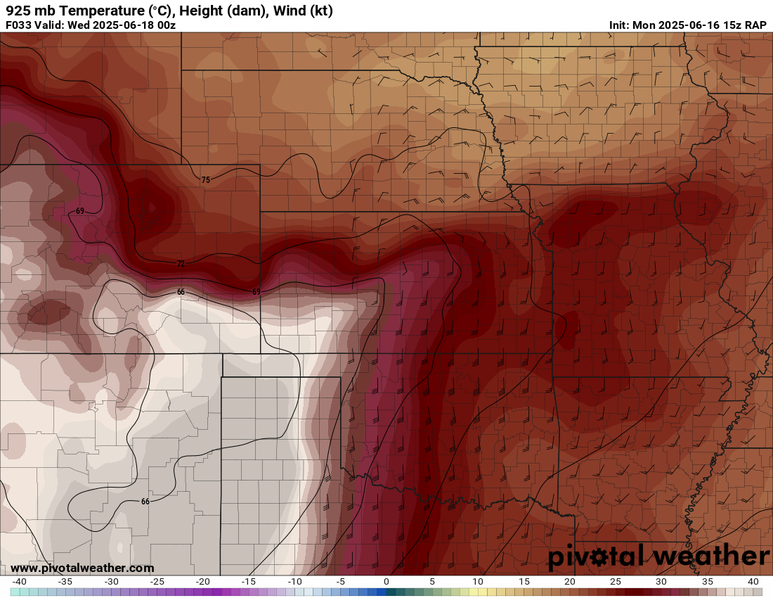
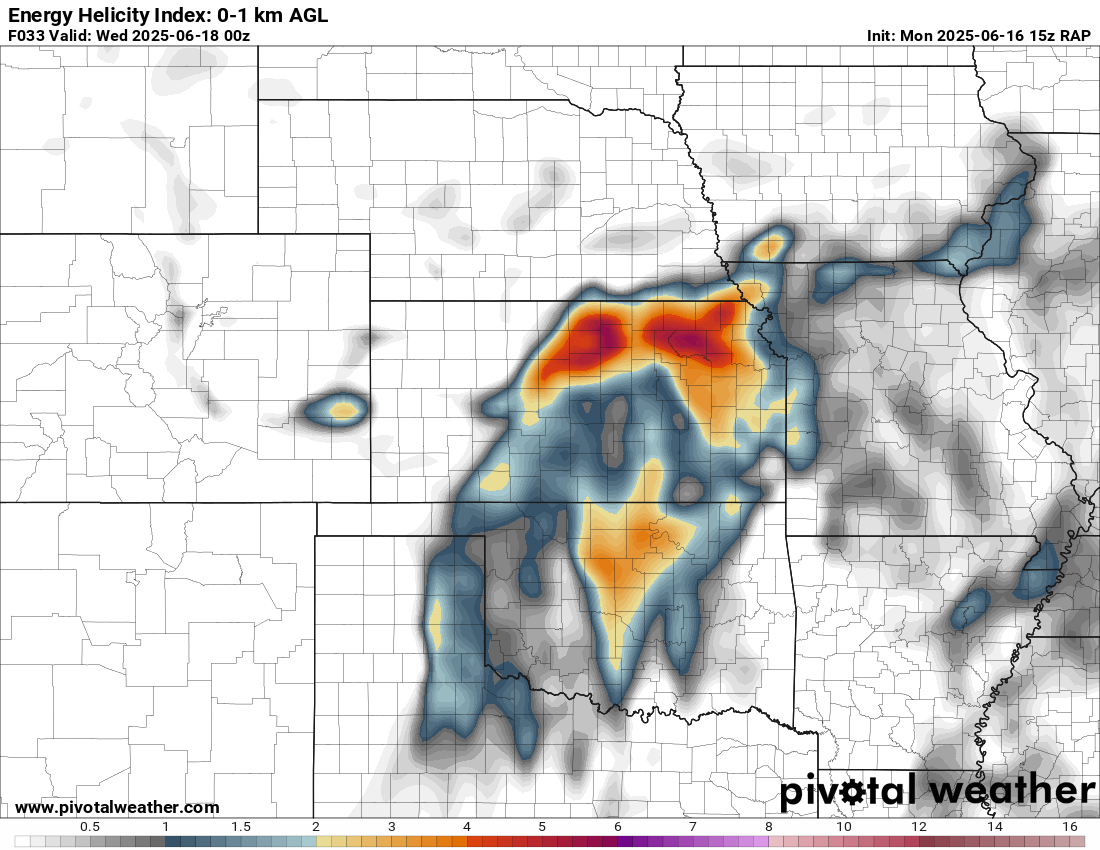
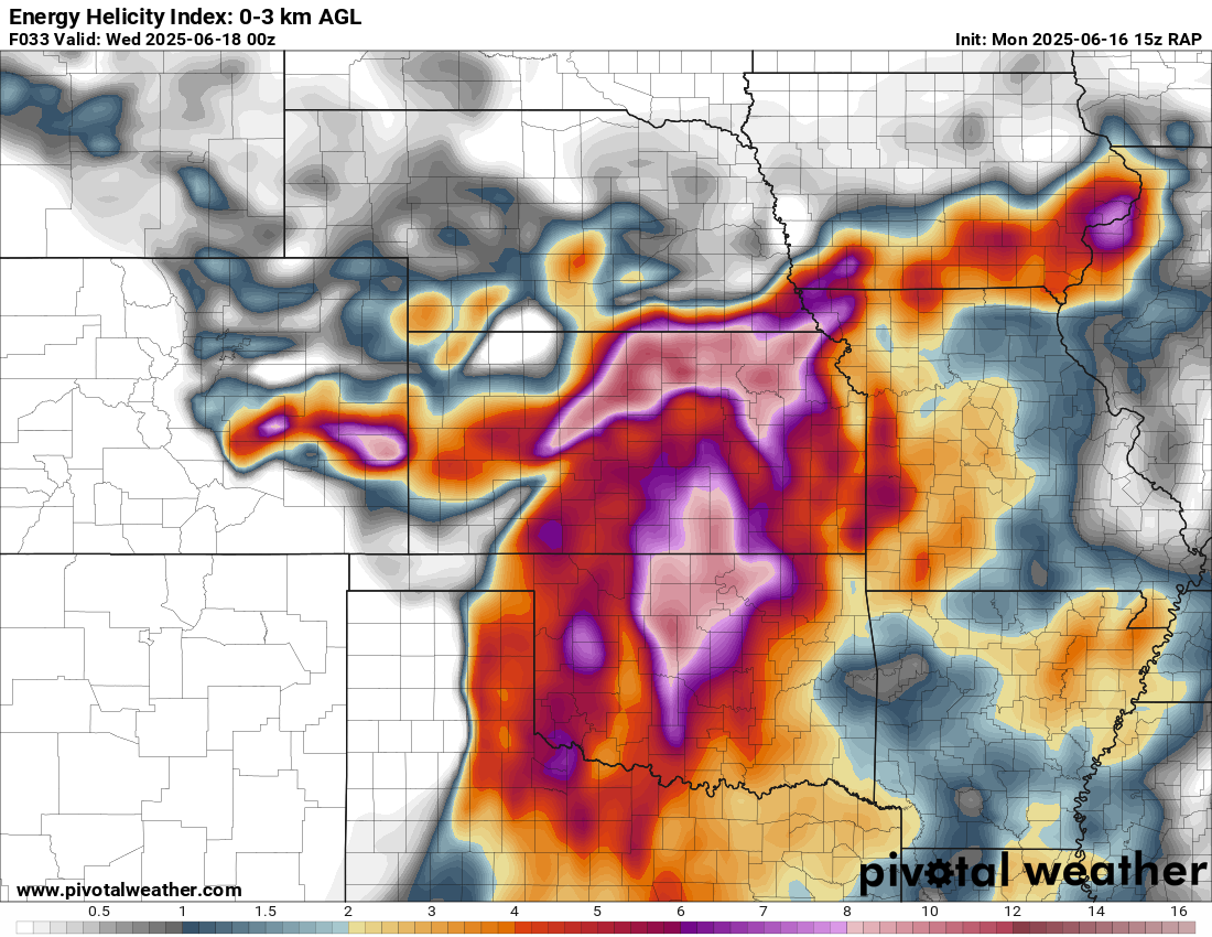
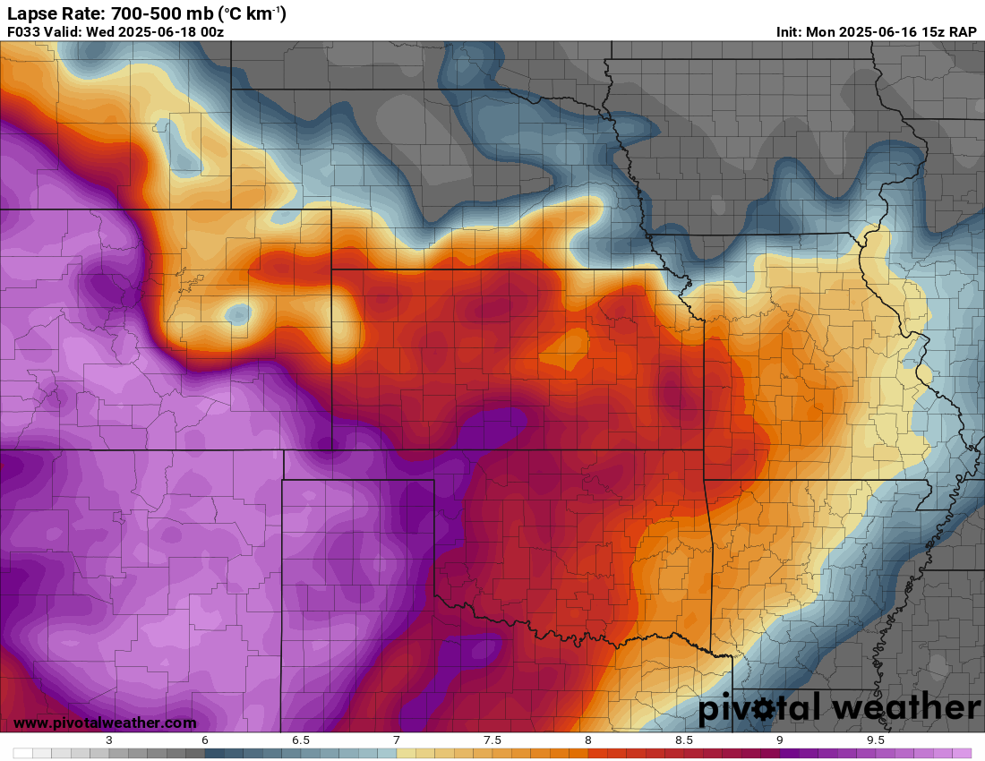
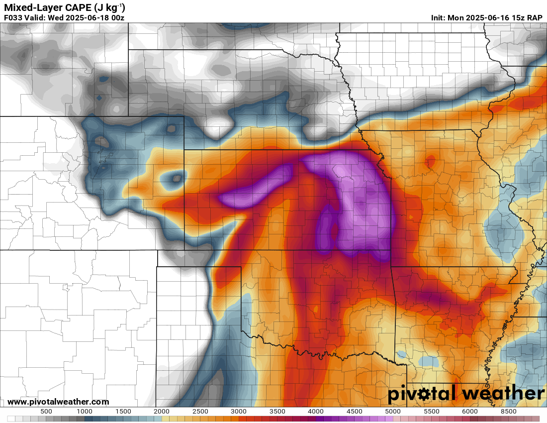
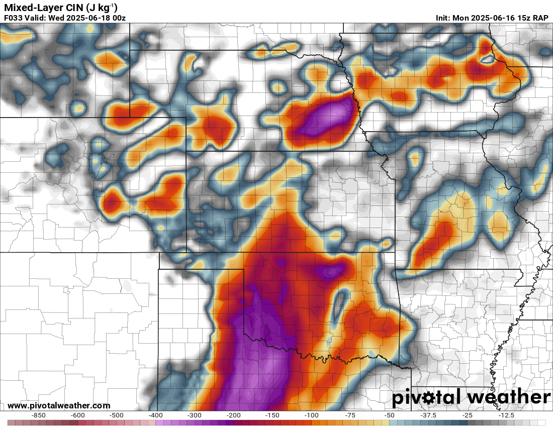
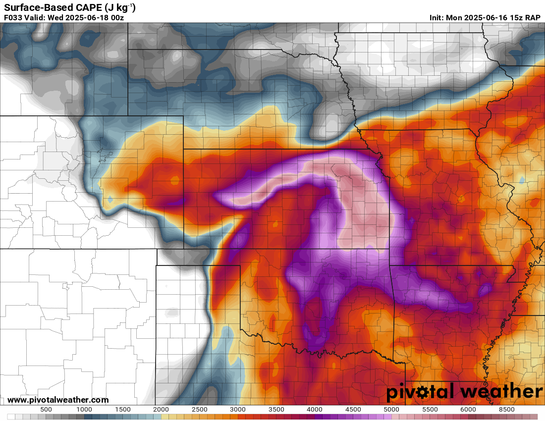
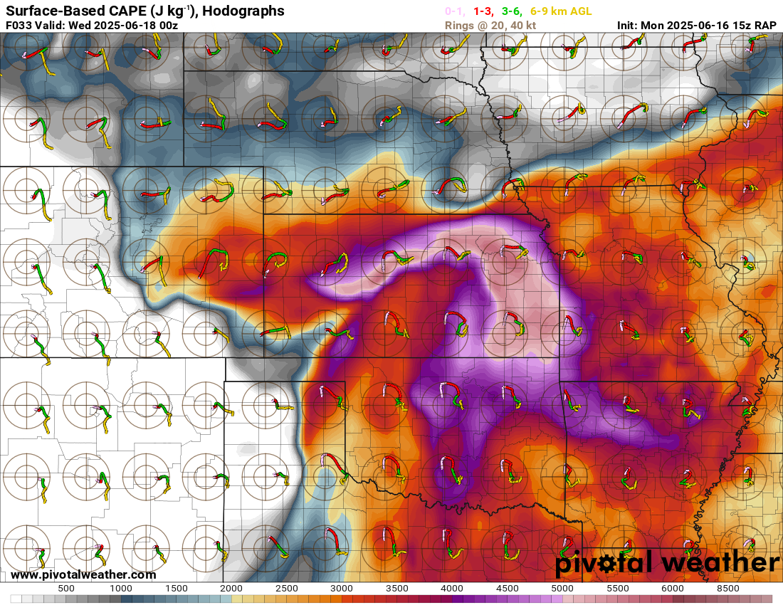
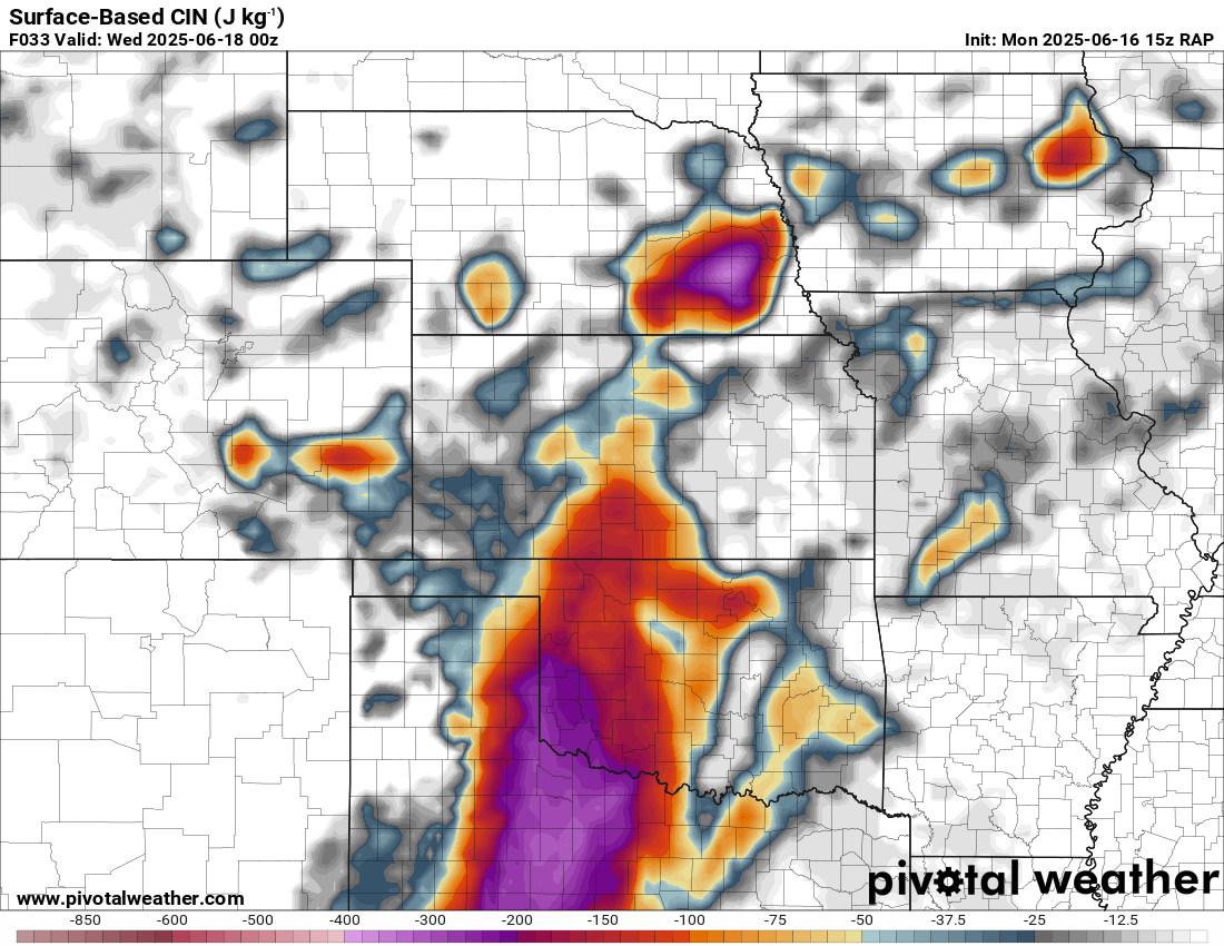
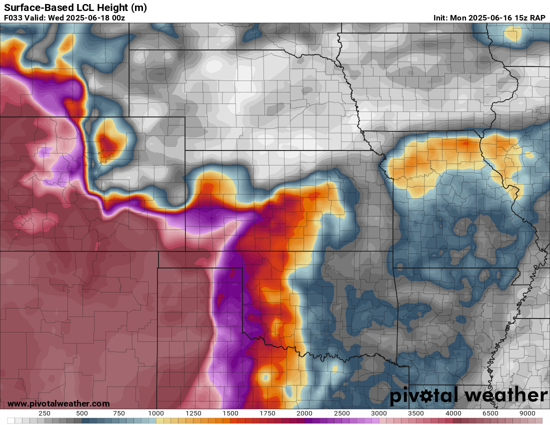
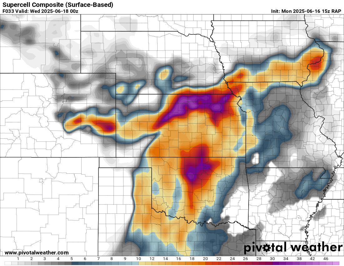
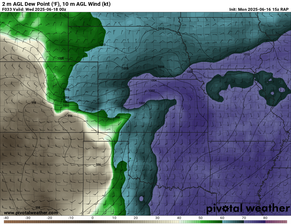
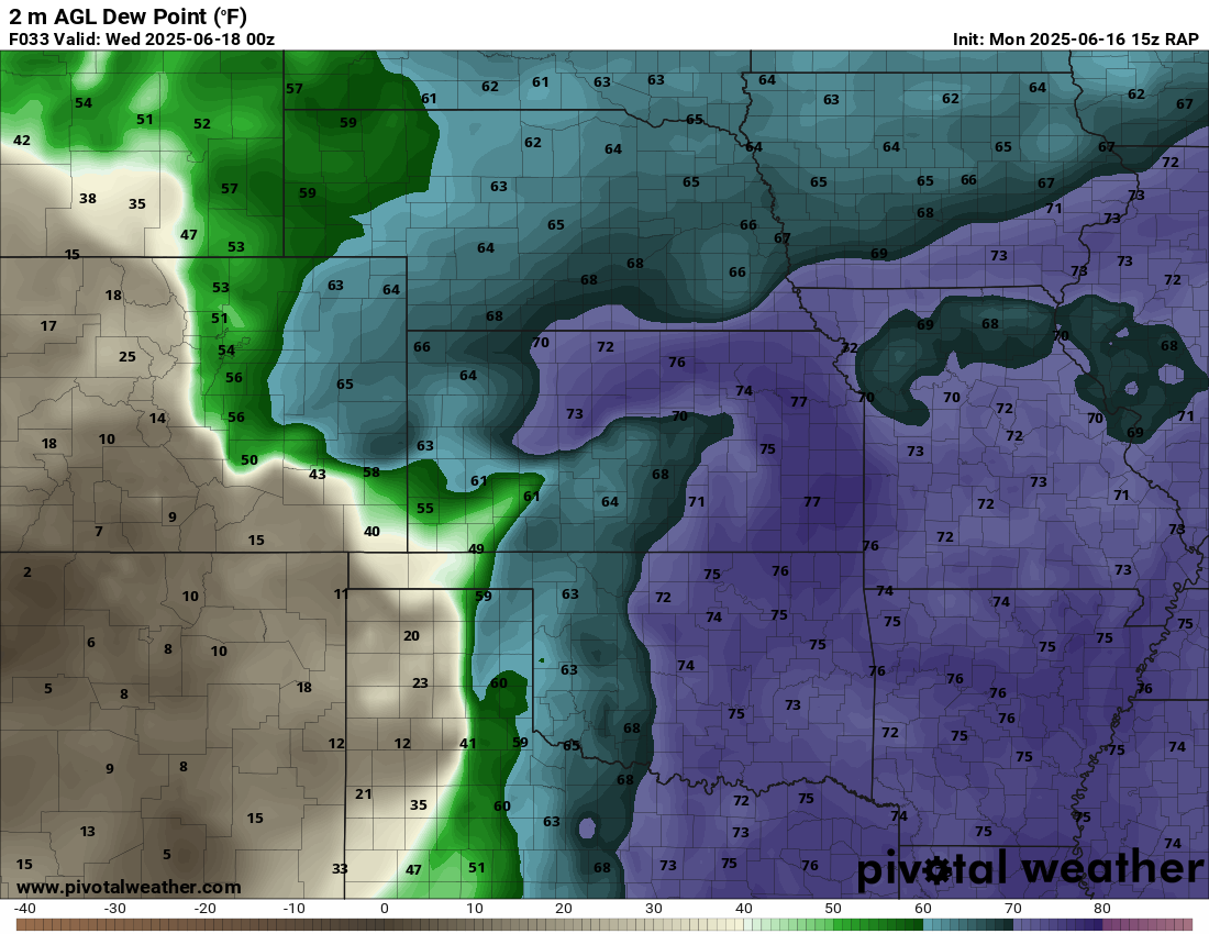
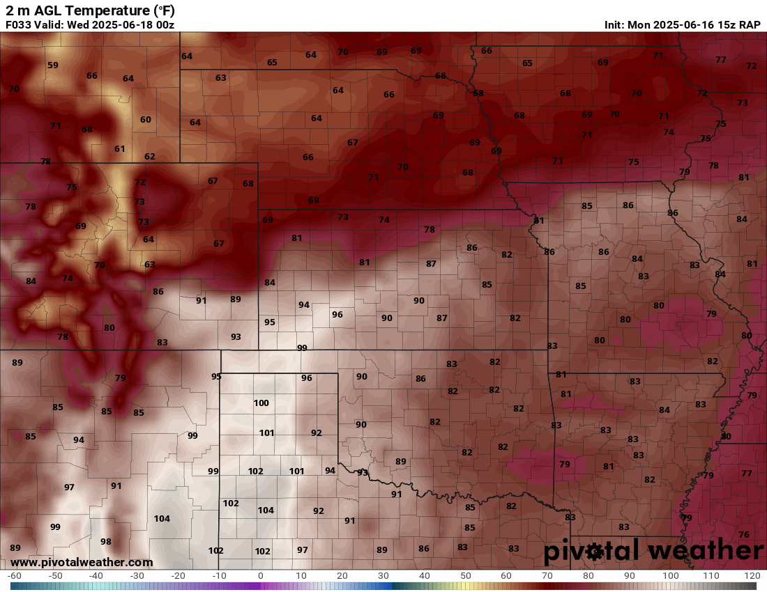
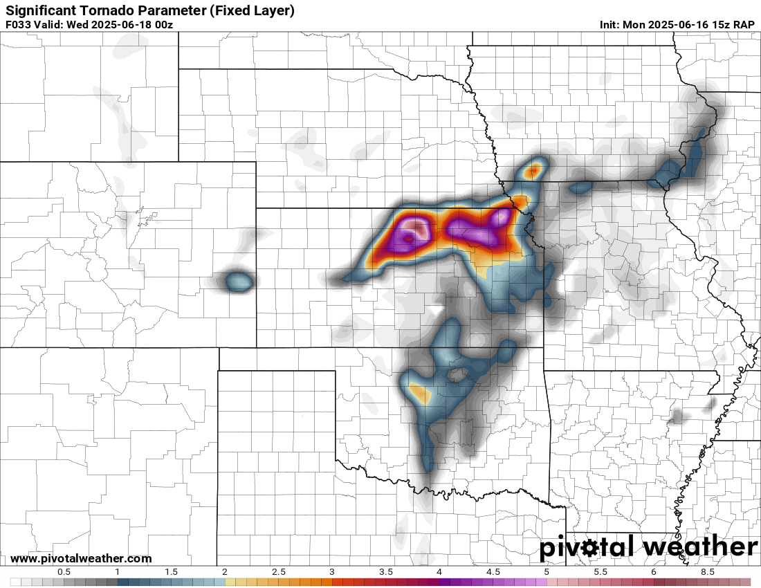
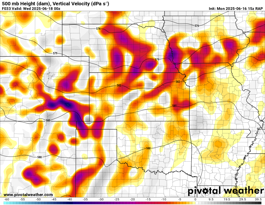
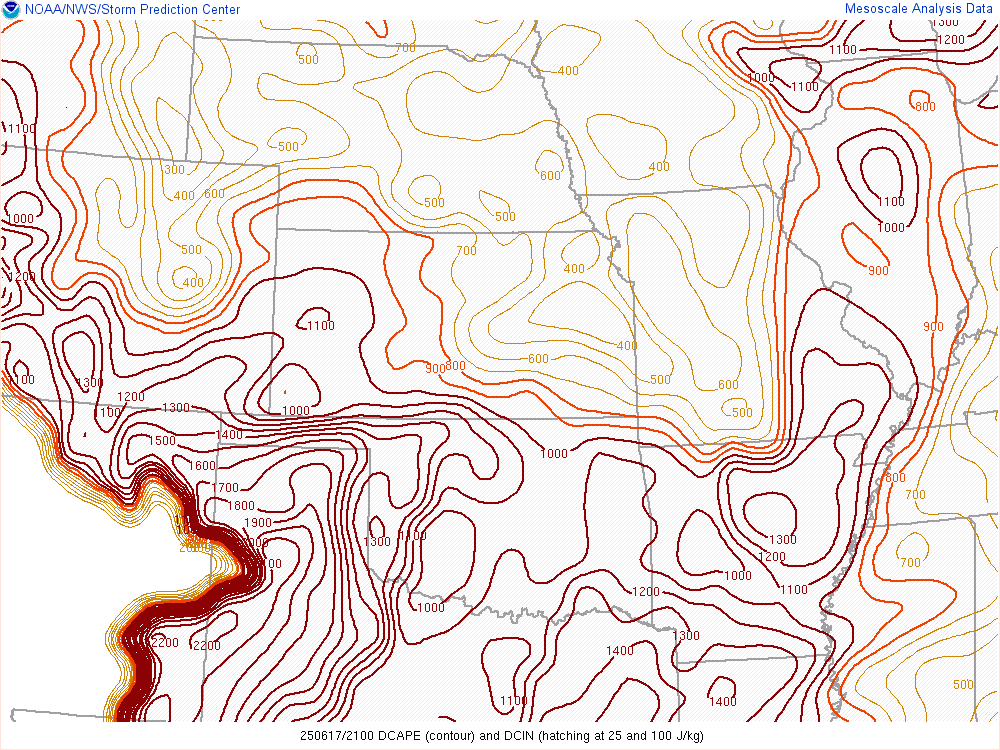
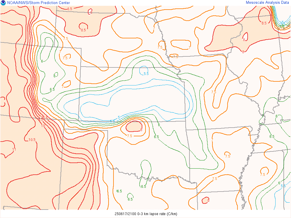
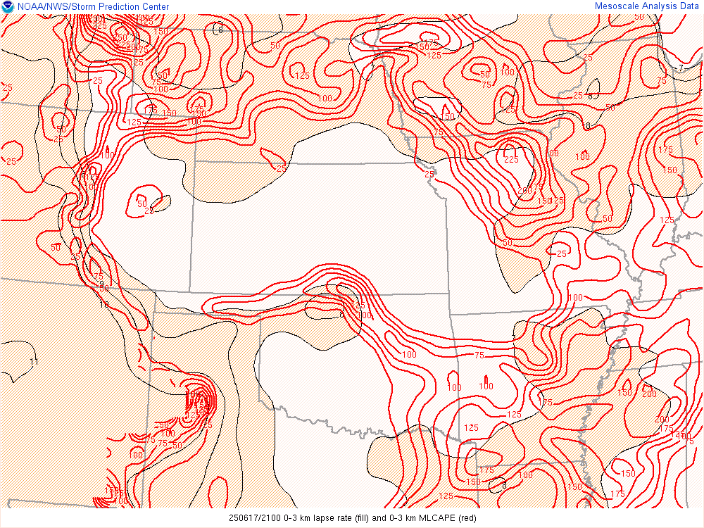
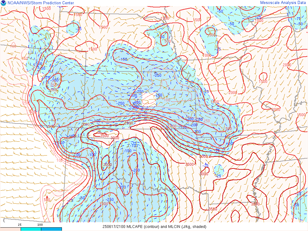
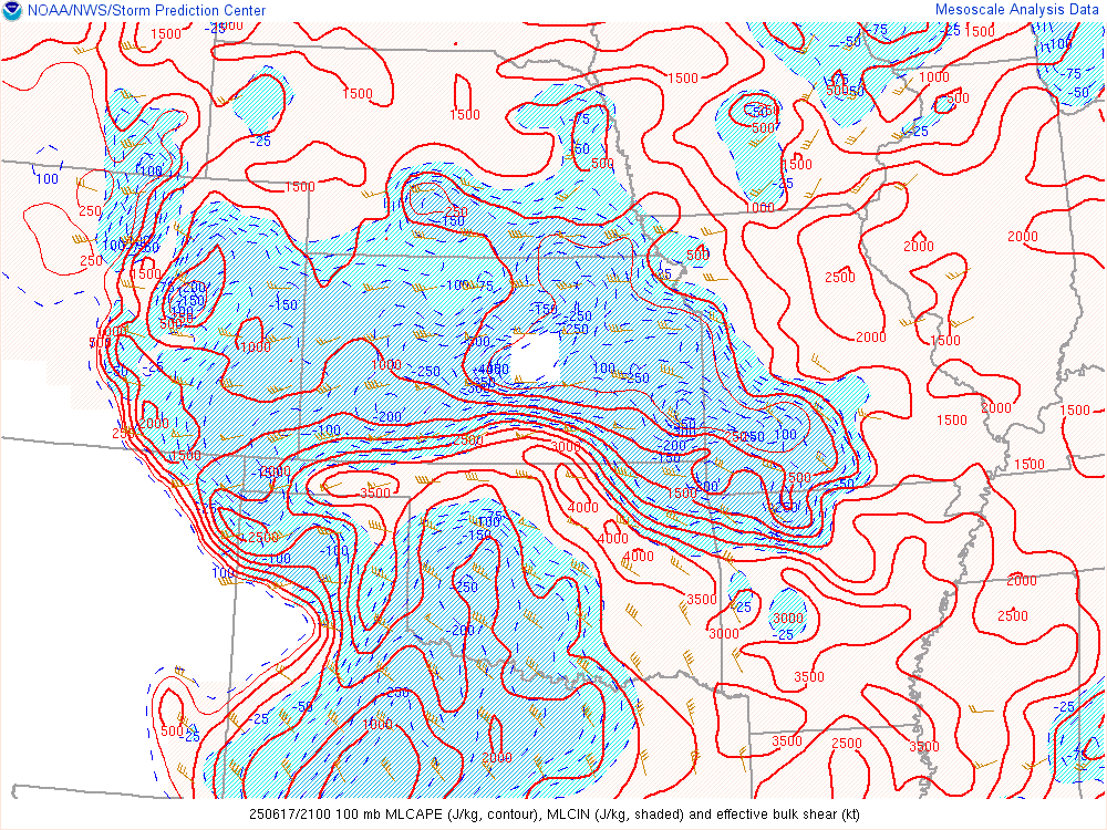
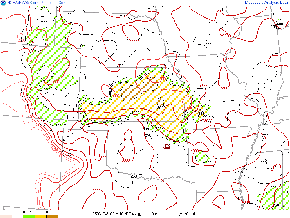
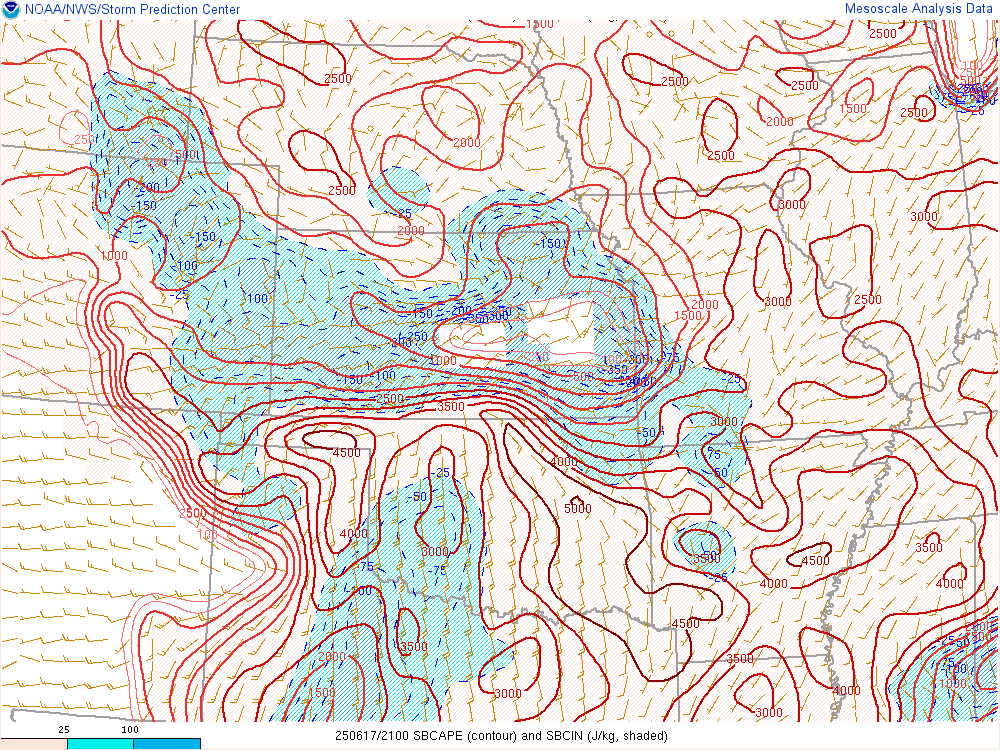
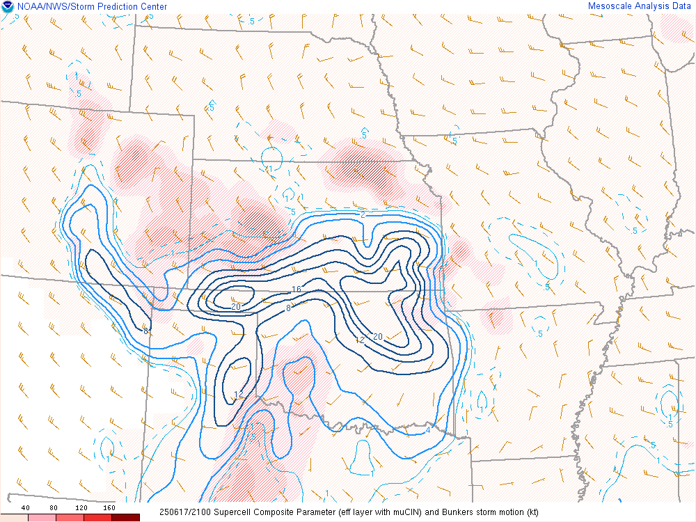
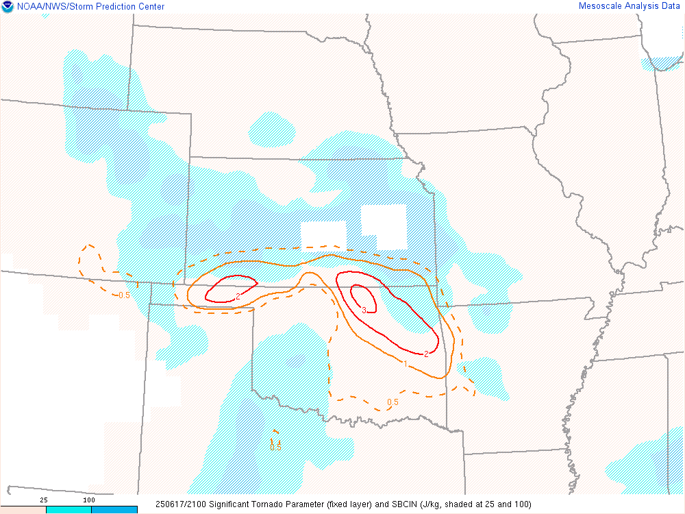
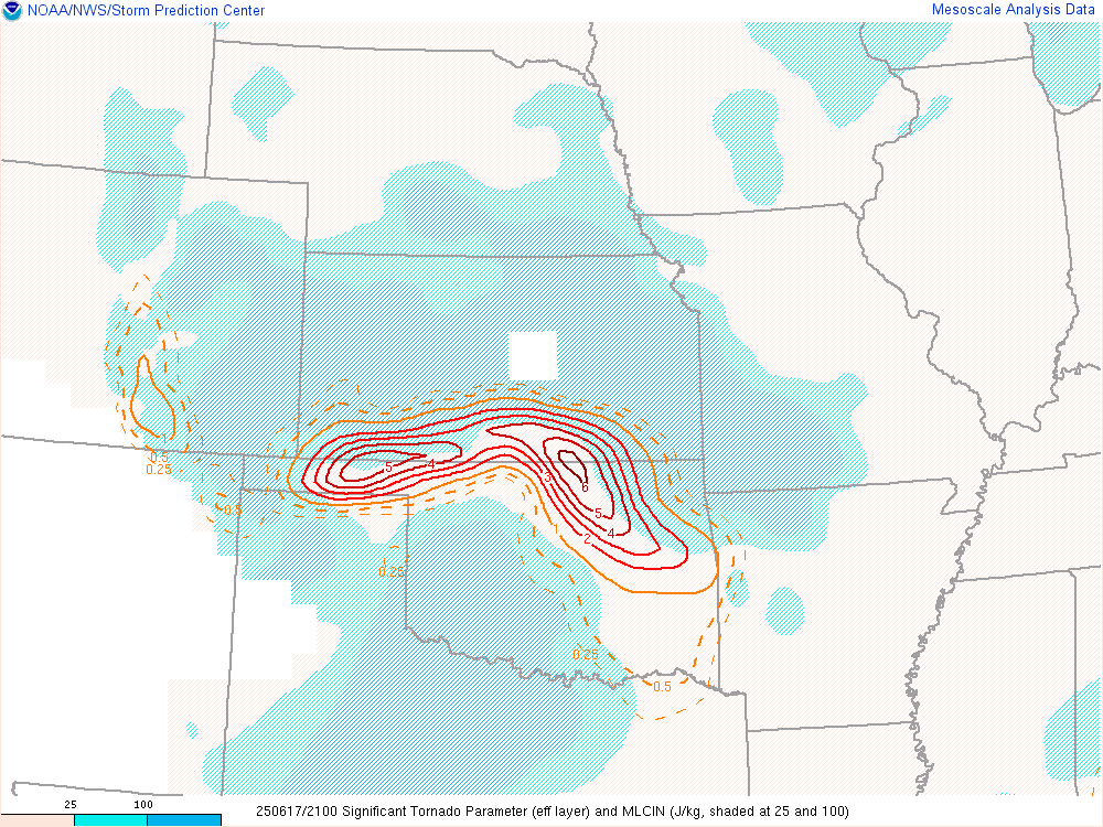
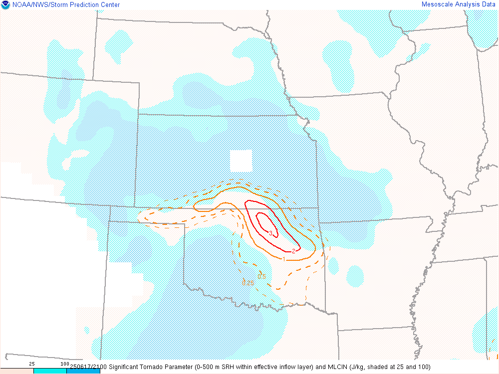
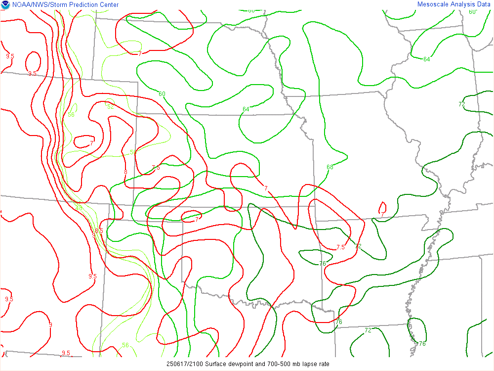
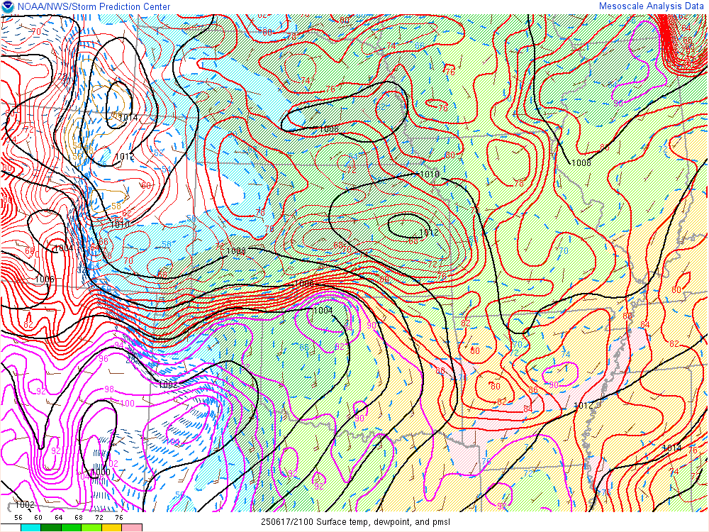
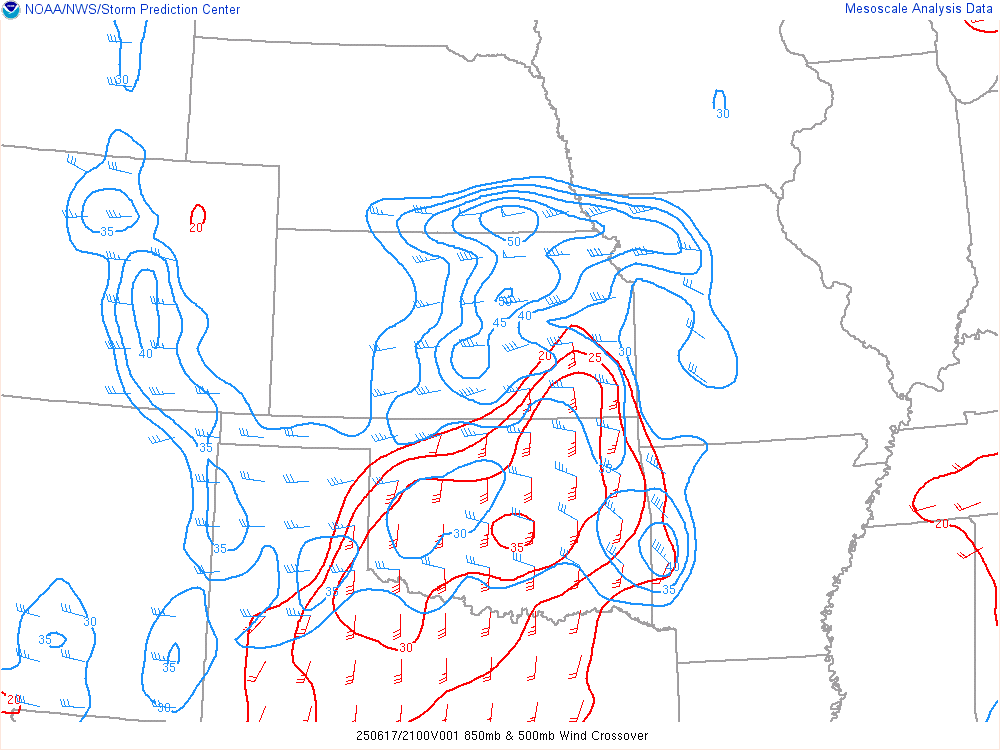
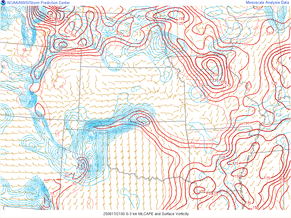
Extremely high moisture values and high cape set the stage for a messy late June supercell near the Kansas/Oklahoma border.
Forecast
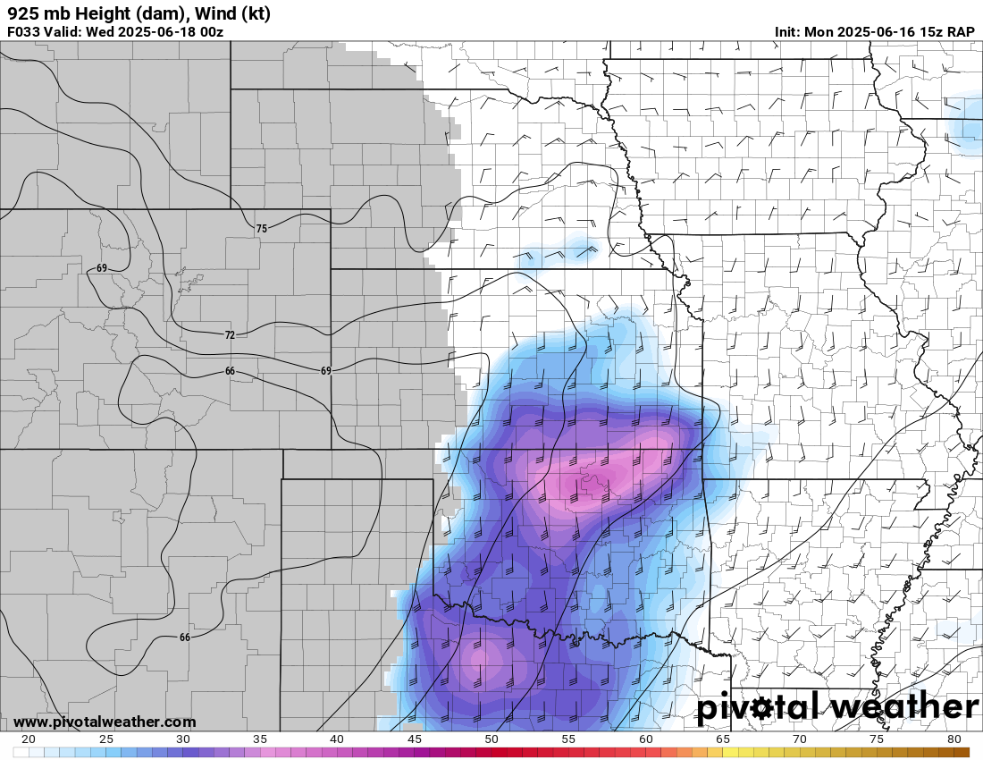
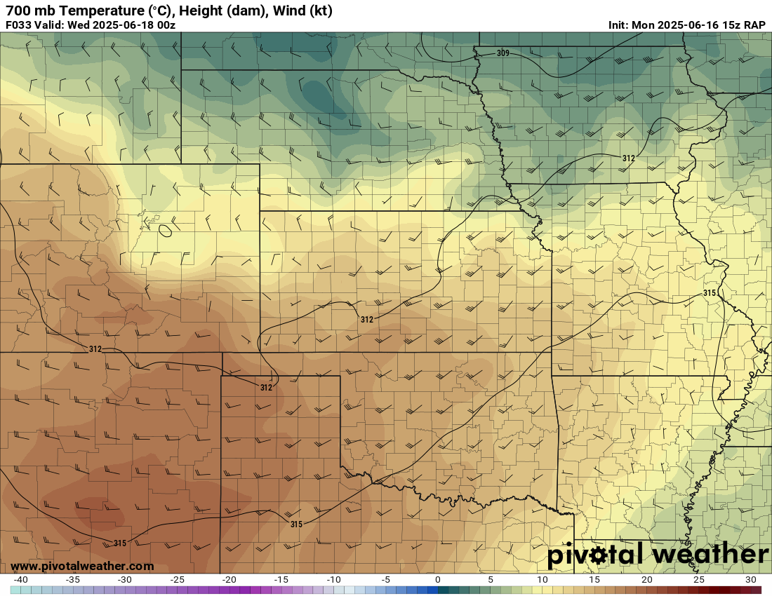
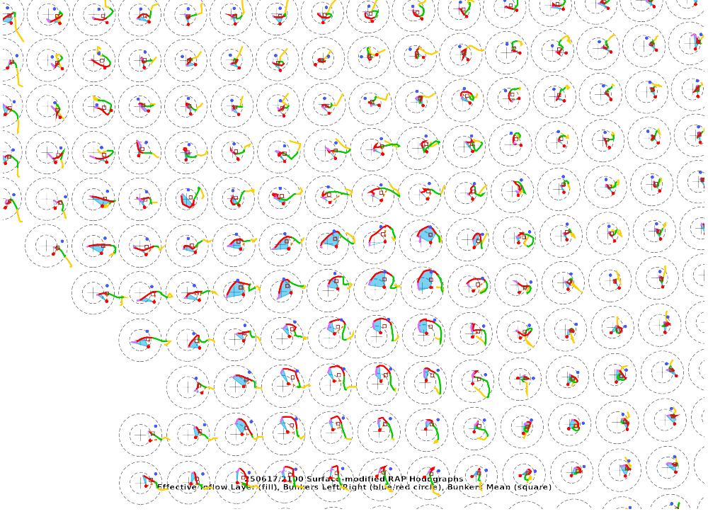
15z RAP June 15
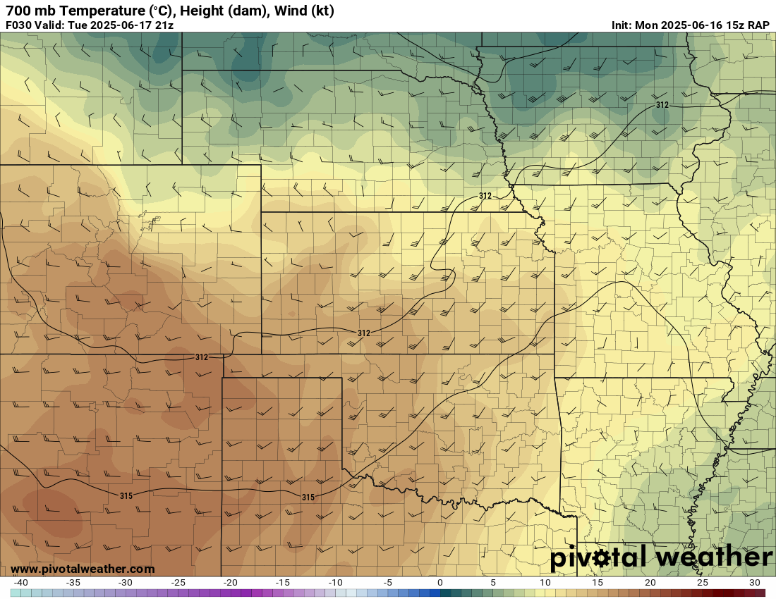
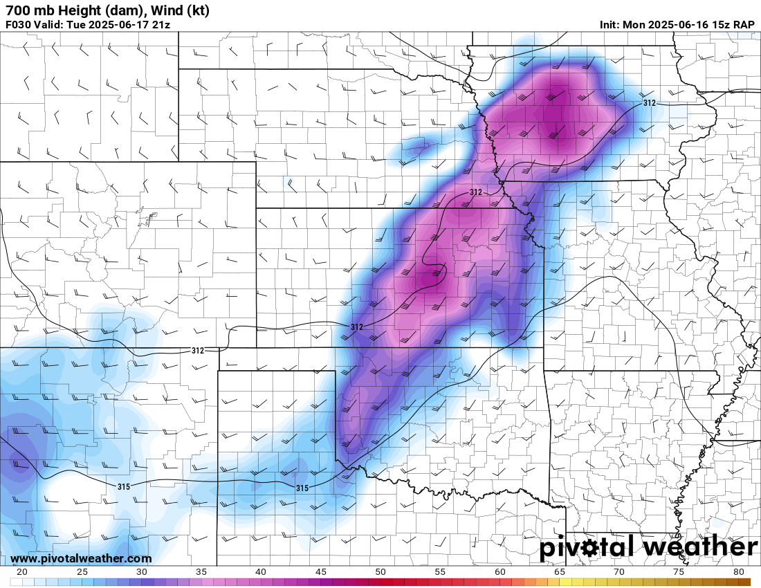
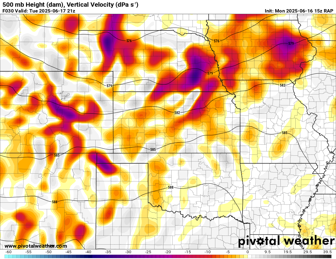
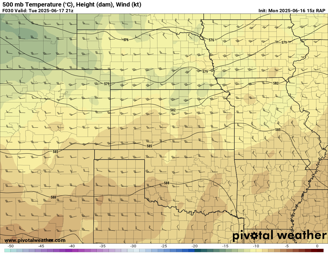
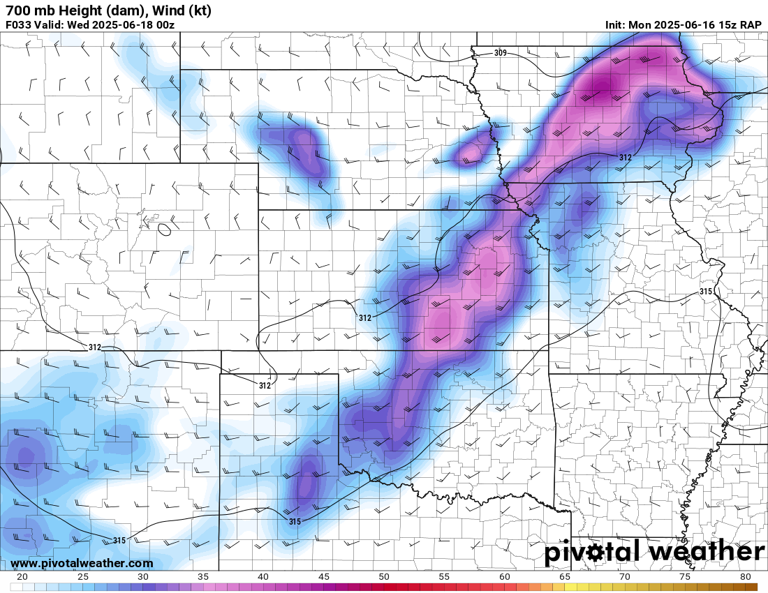
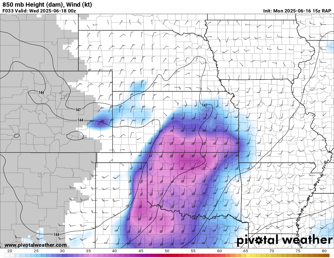
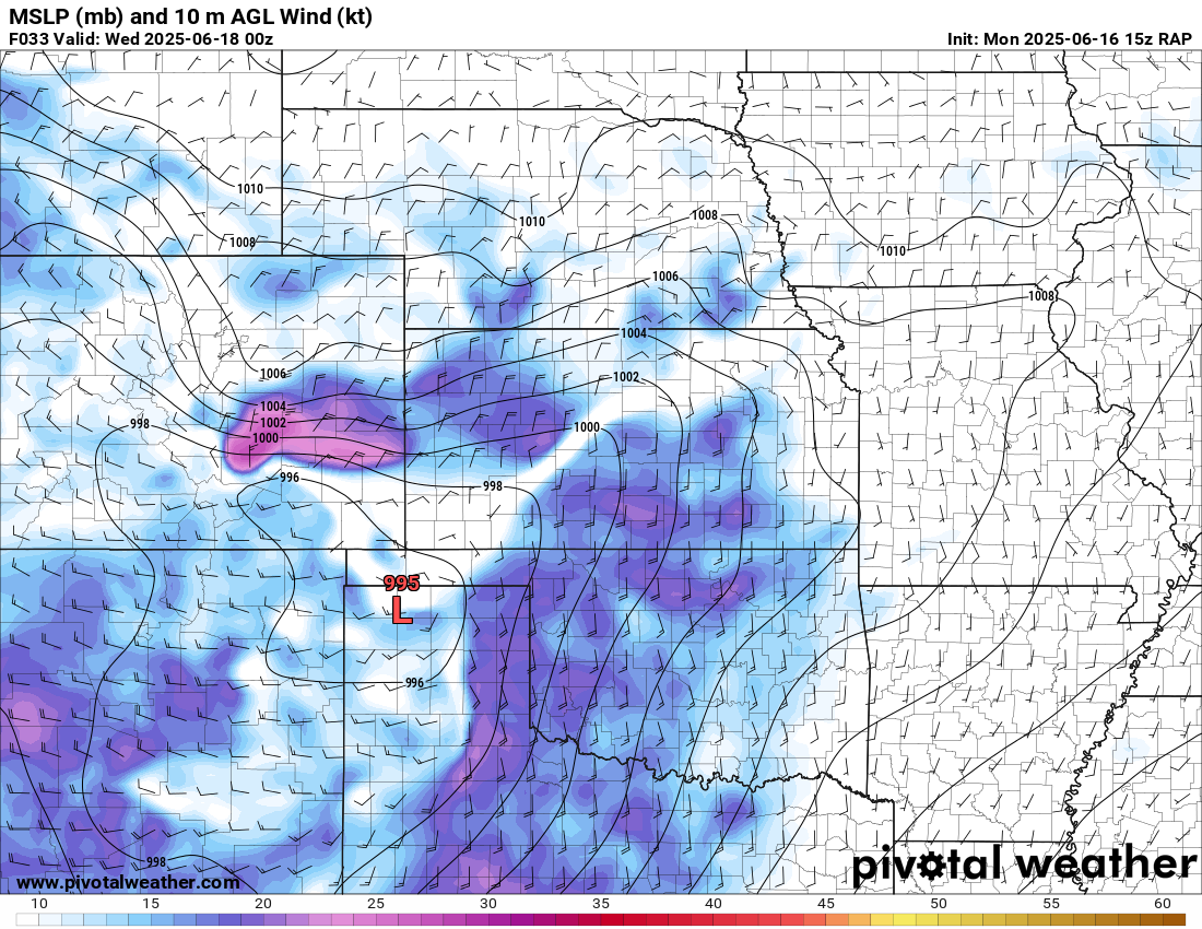
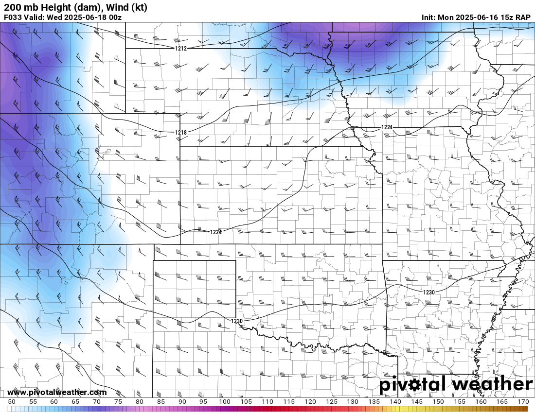
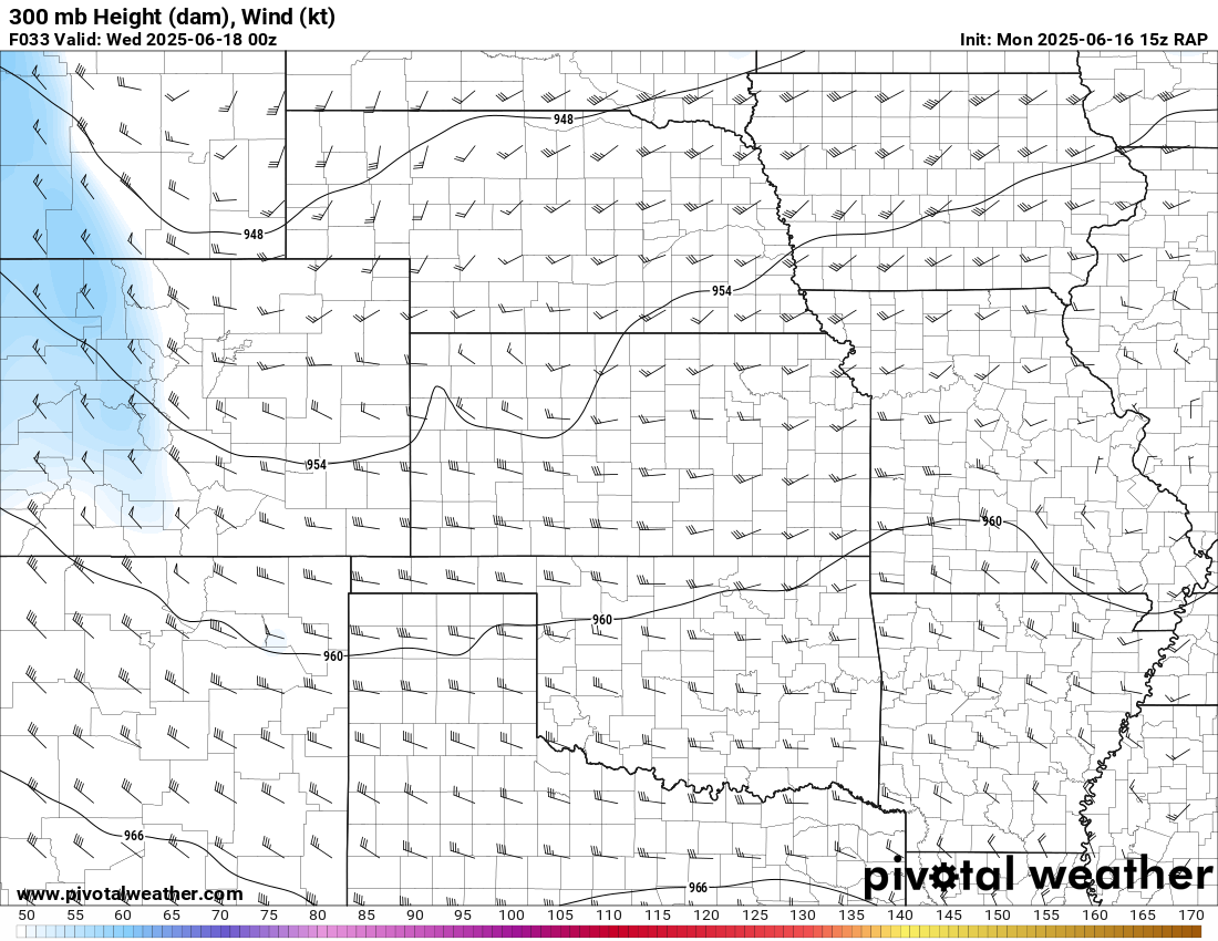
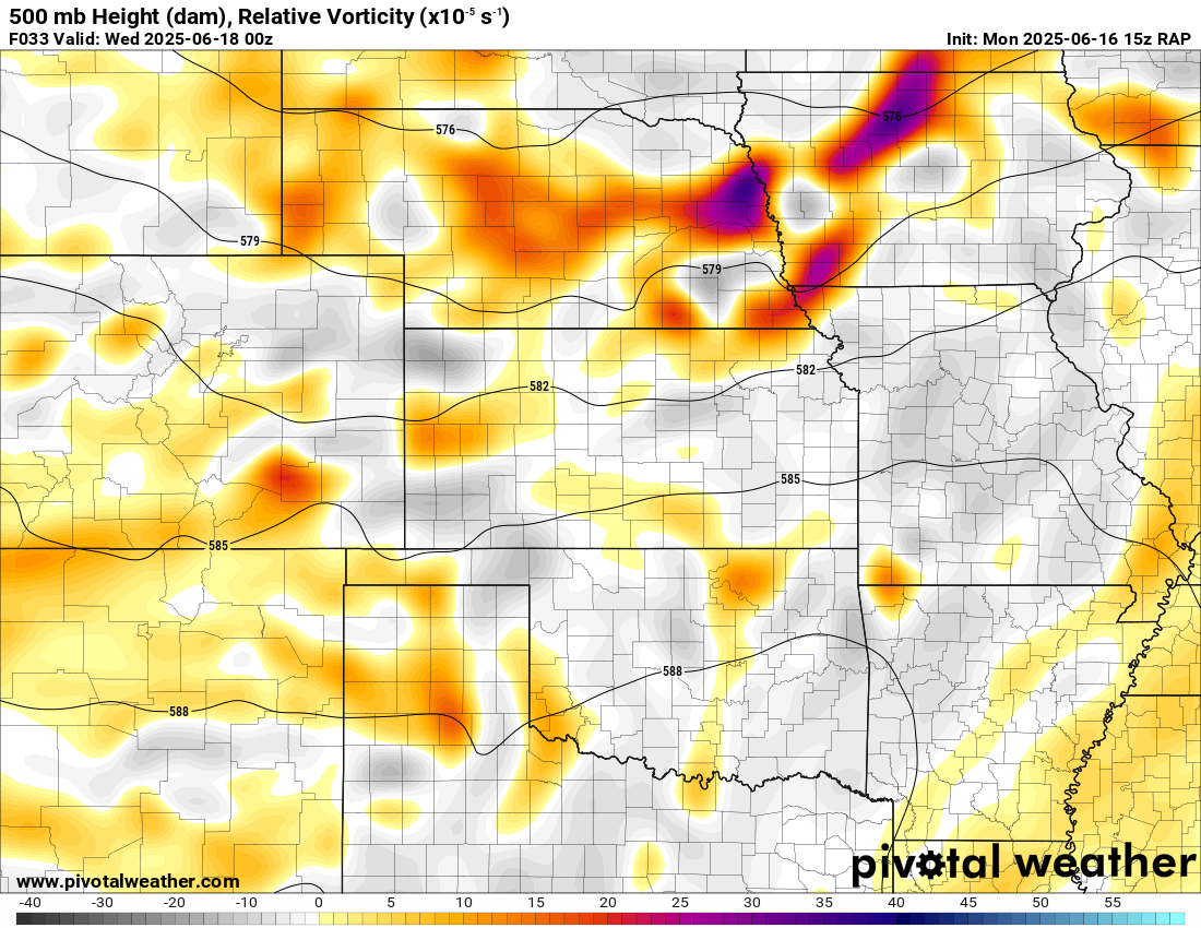
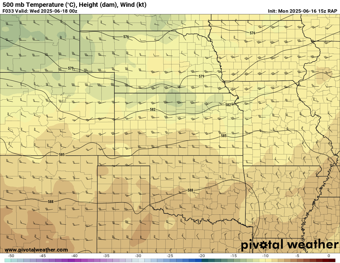
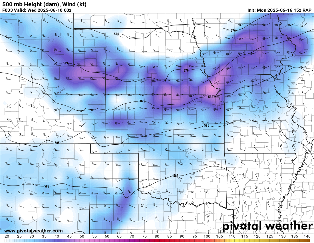
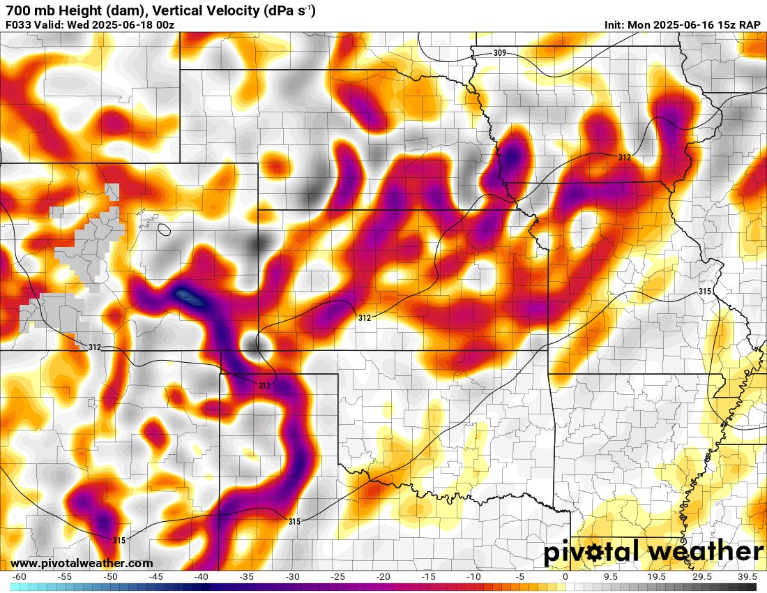
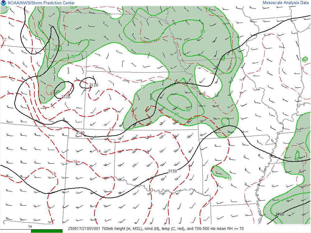
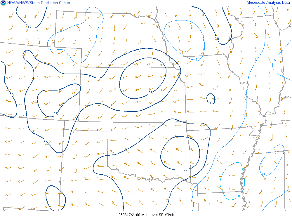
15z RAP showed a strong 700mb jet into Kansas throughout the day. Early forcing had me concerned, but still seemed like decent chase potential near to home.
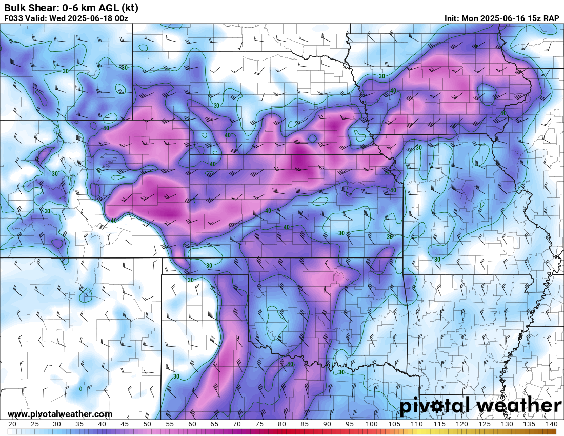
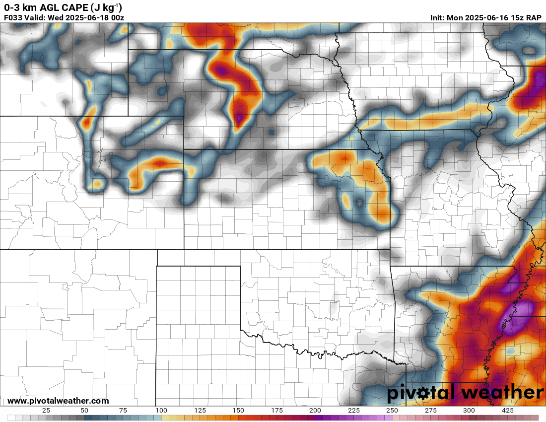
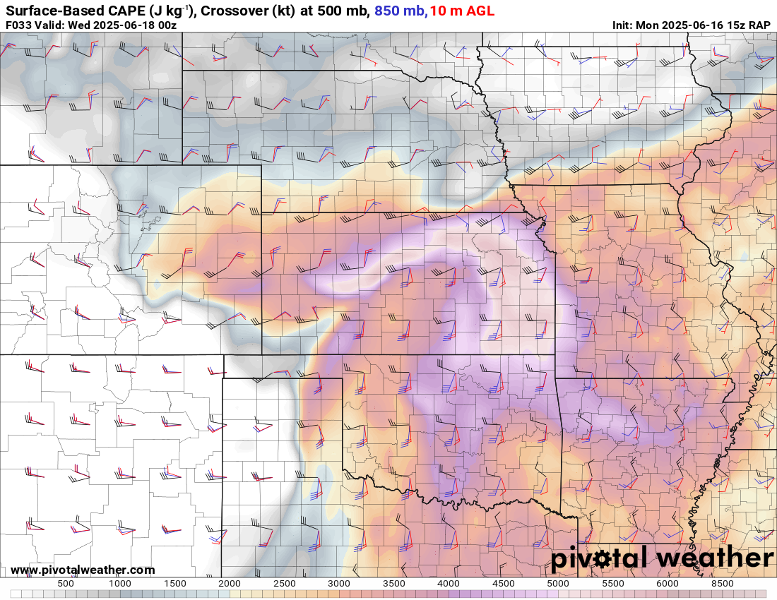
15z RAP Forecast June 16

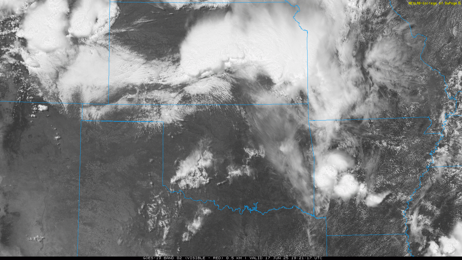
Morning Visible Satellite Loop- 1145 am CDT/1645Z
Late morning visible satellite showed a front stretching from about Eureka towards Great Bend and west towards cott City. Morning storms were ongoing in southeast Kansas as well as a MCS rolling through Eastern Oklahoma. A southwest/Northeast boundary appears from Childress towards Enid.
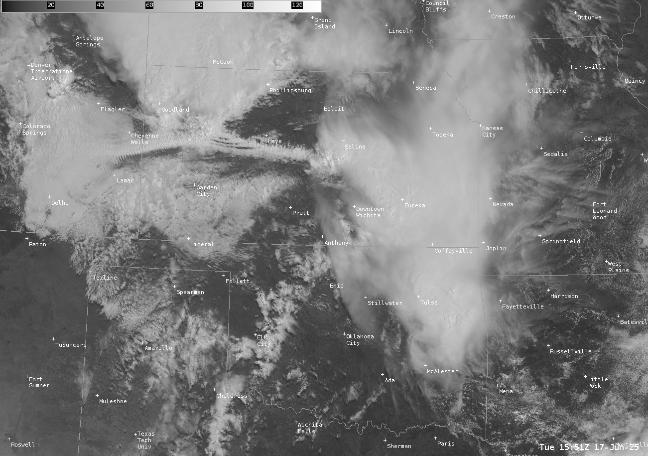
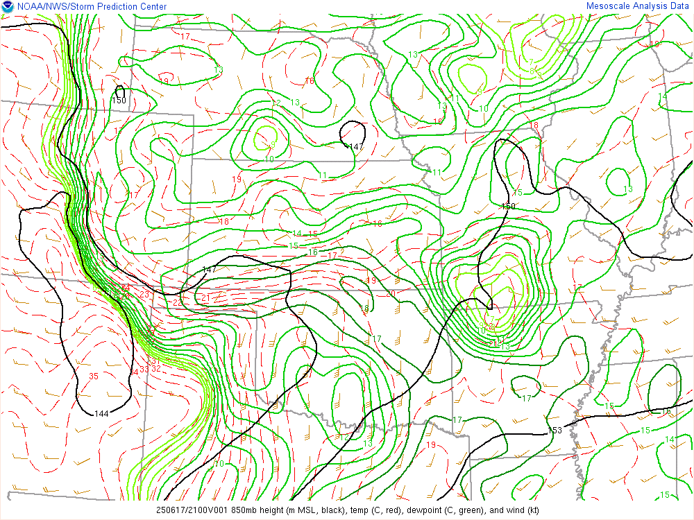
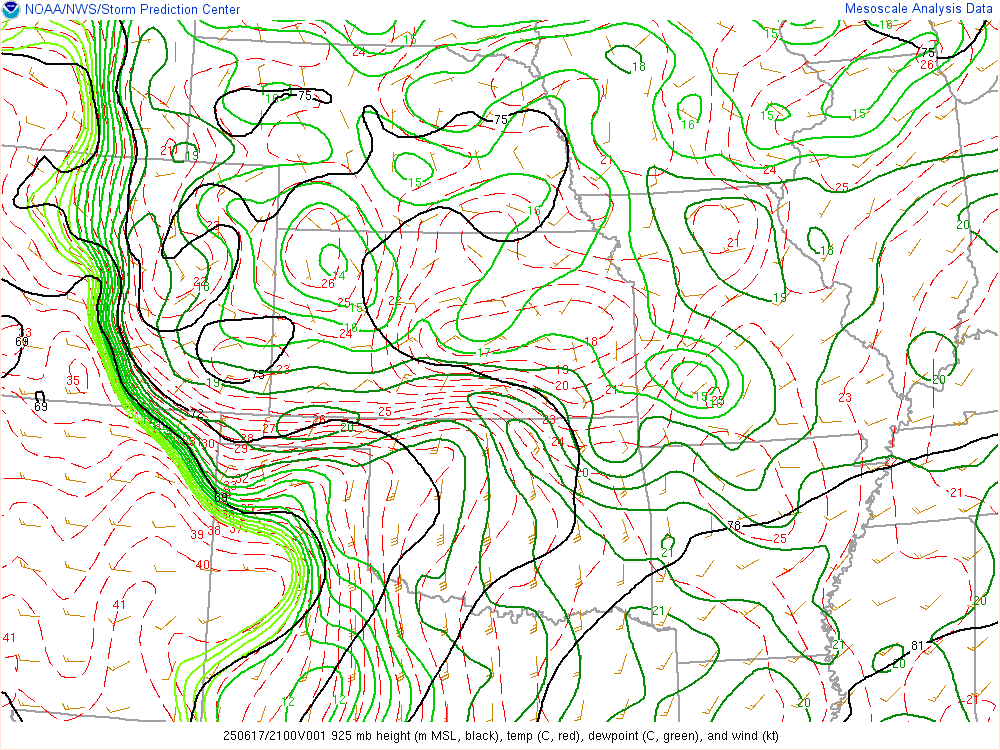
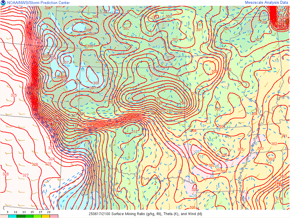
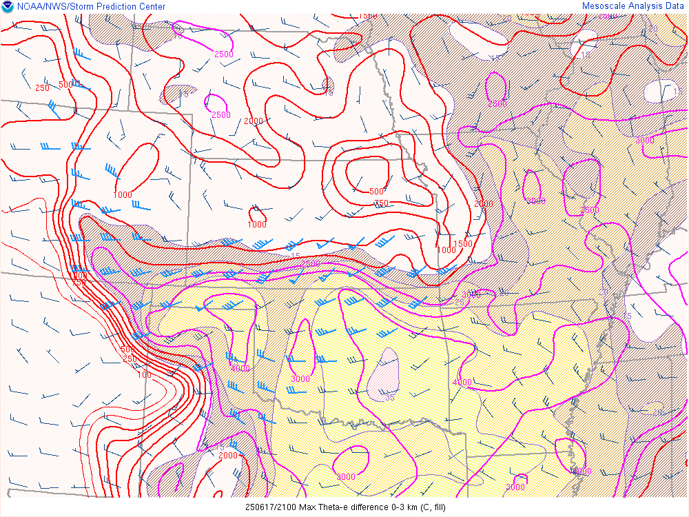
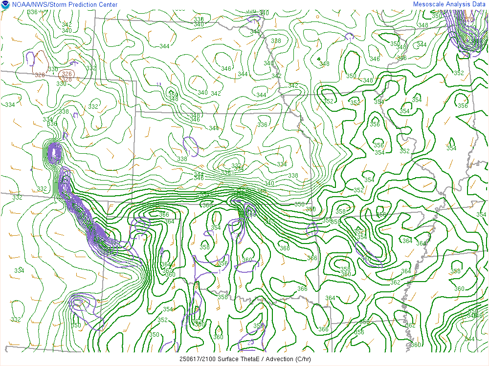
Theta-E around 11am showed a very moist/Theta-E rich airmass in place across Southeast and Central Oklahoma.

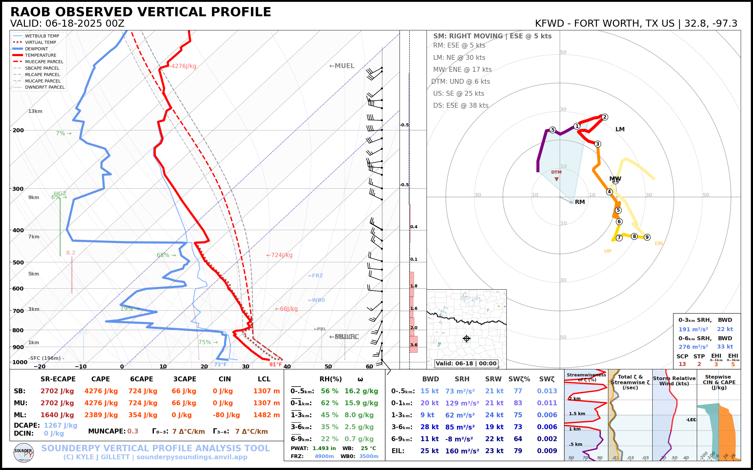
18Z Lamont Sounding
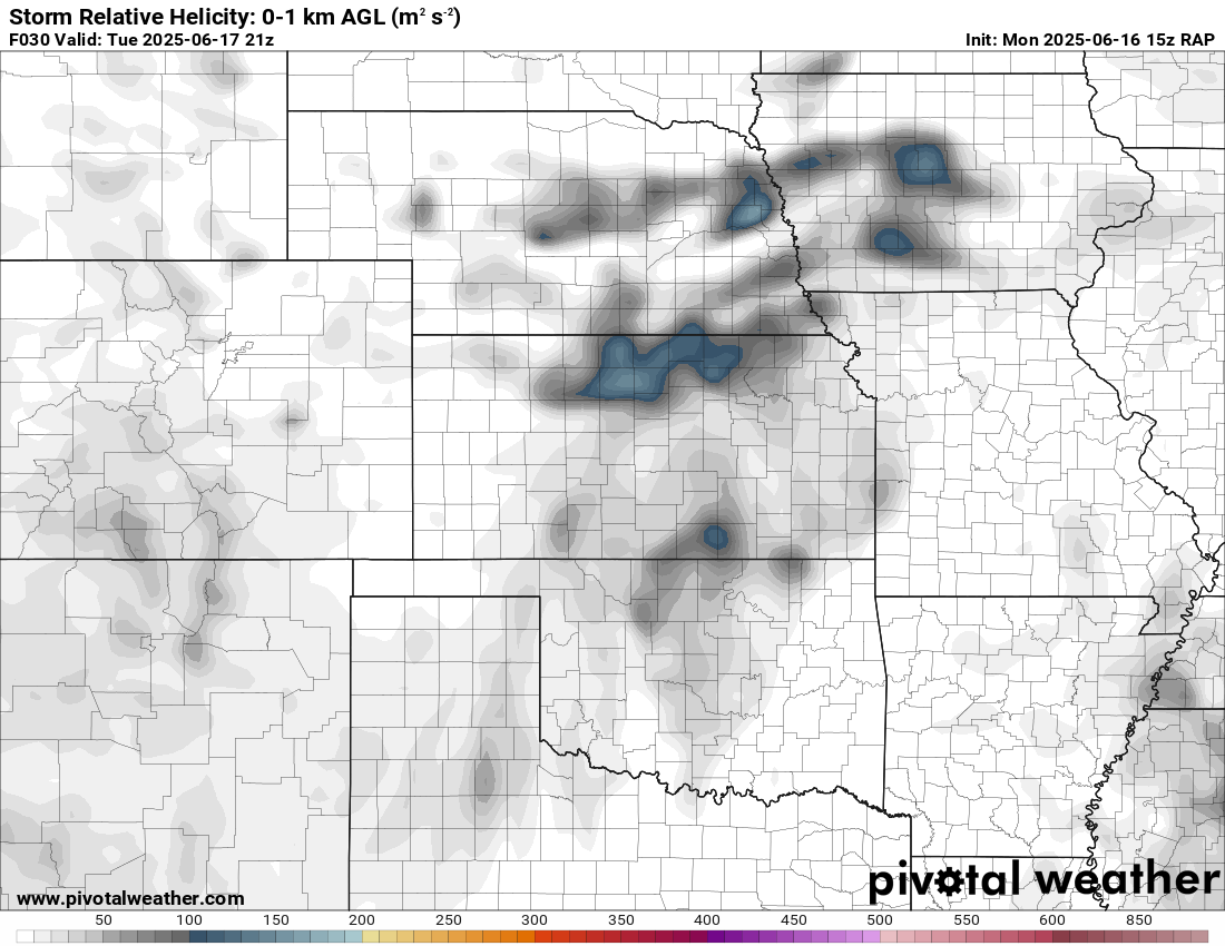
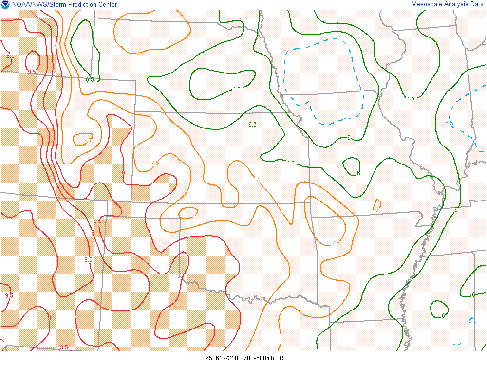
The early afternoon sounding in Lamont showed a decent wind profile, although some upper level veer/backing. The low level thermals still needed to recover, but that was anticipated.

Departing Norman
Chance would come by and pick me up a little after 1pm and we’d head north on I-35. We had to make a quick stop at one of his work sites before continuing north to Blackwell.
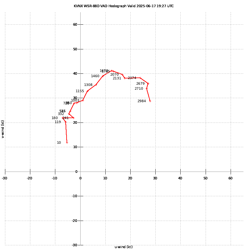
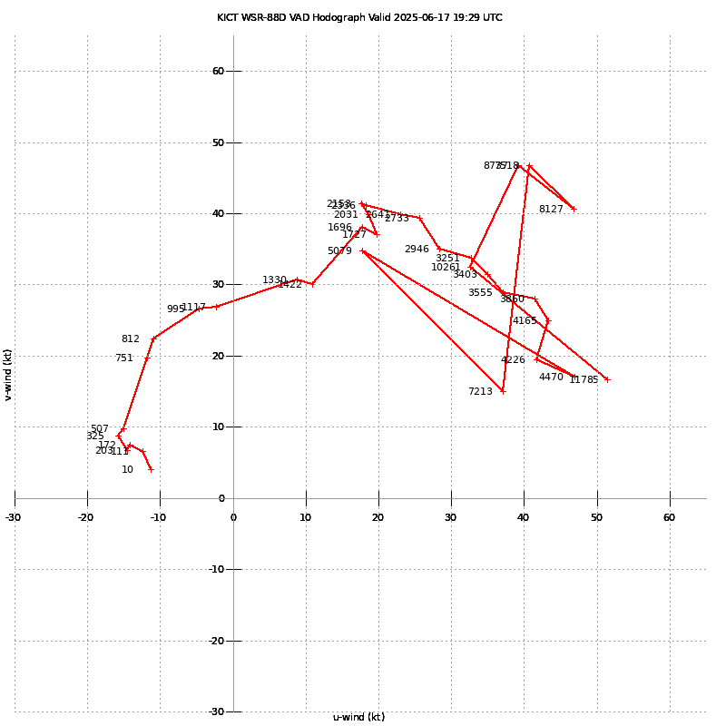
1930Z/2:30 pm CDT VAD from ICT/VNX
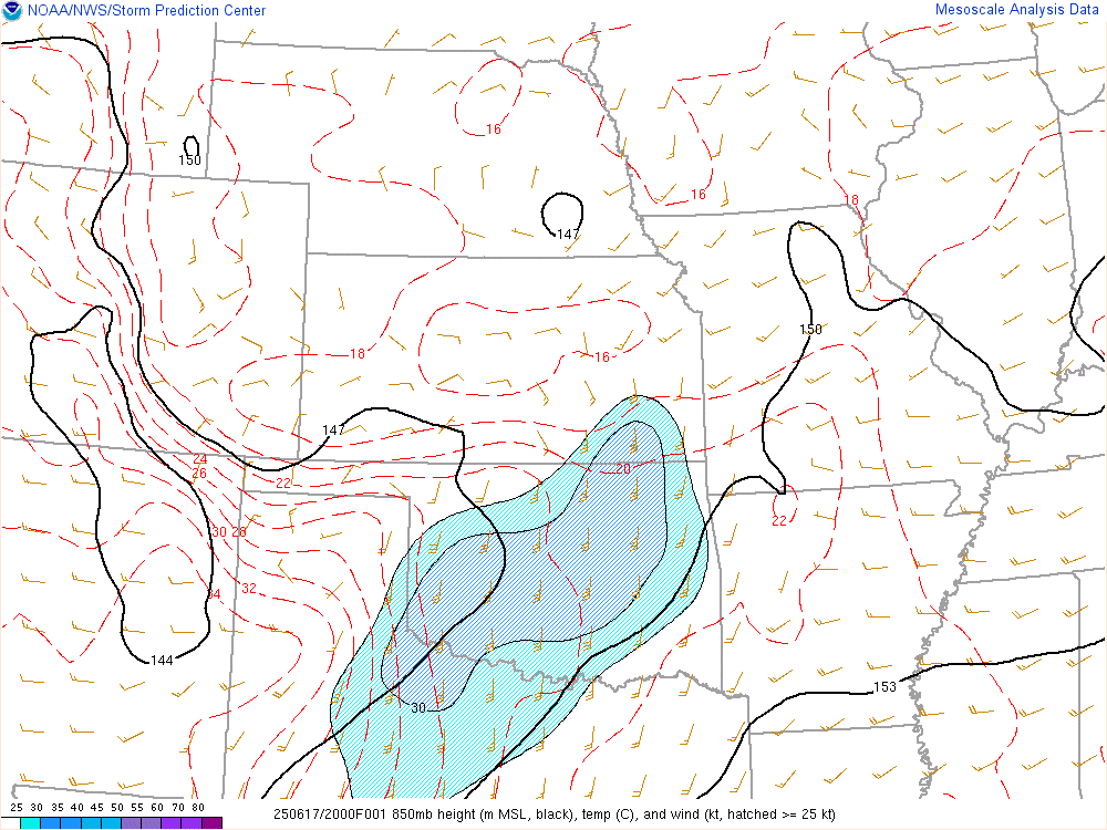
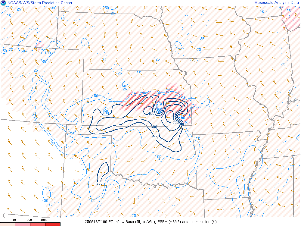
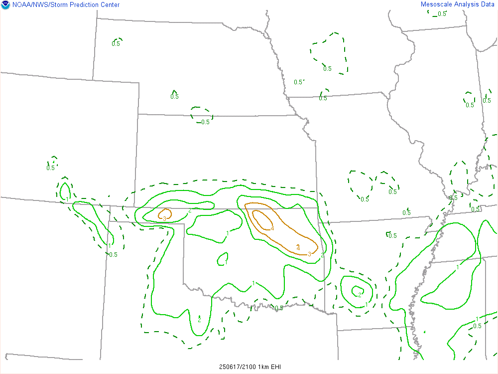
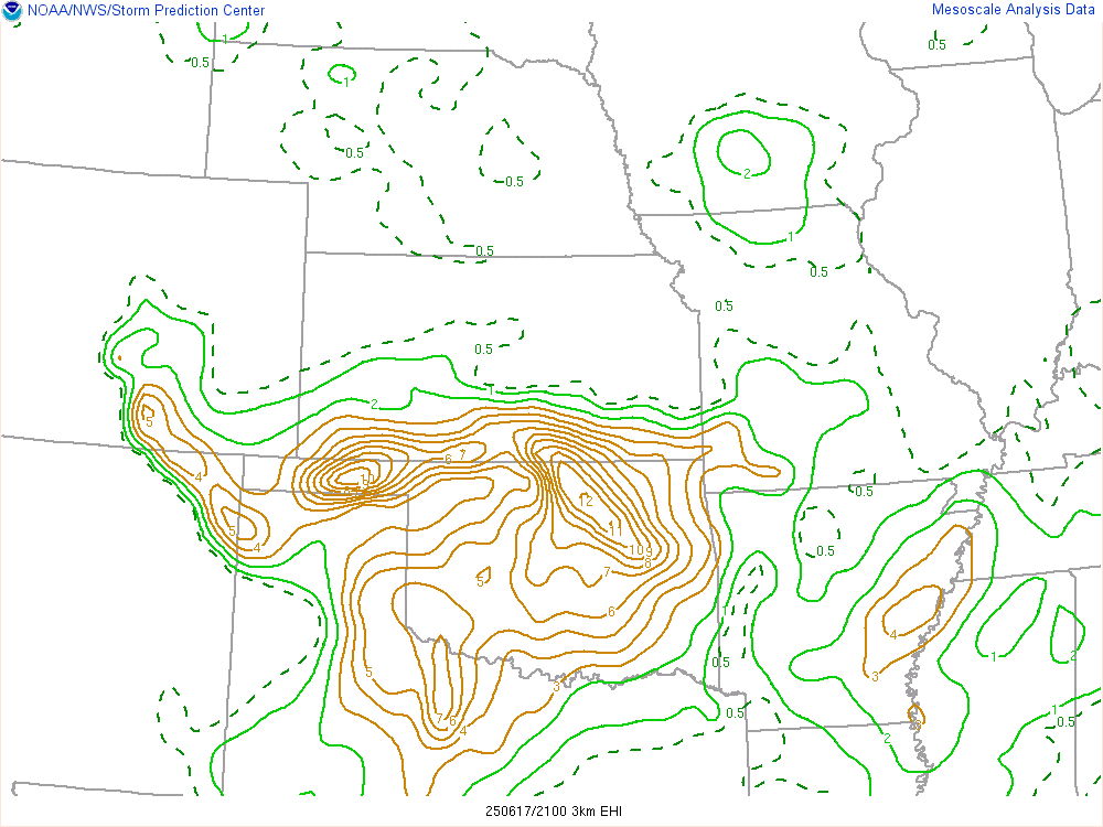
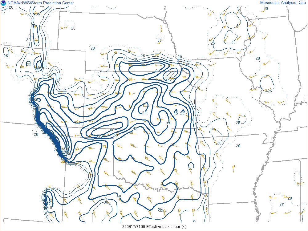
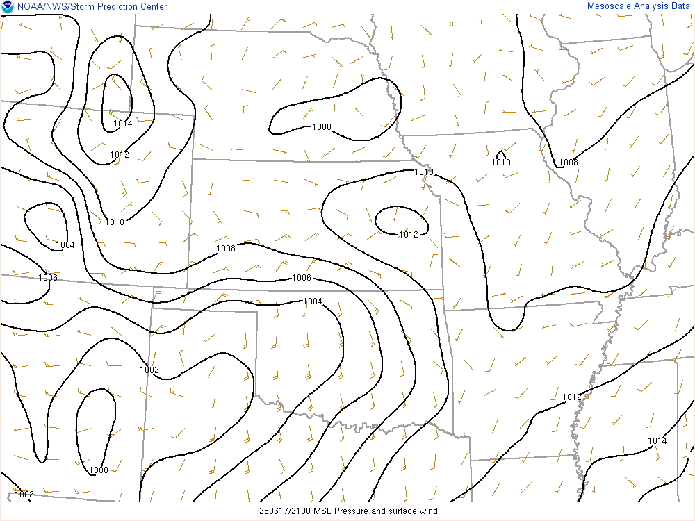
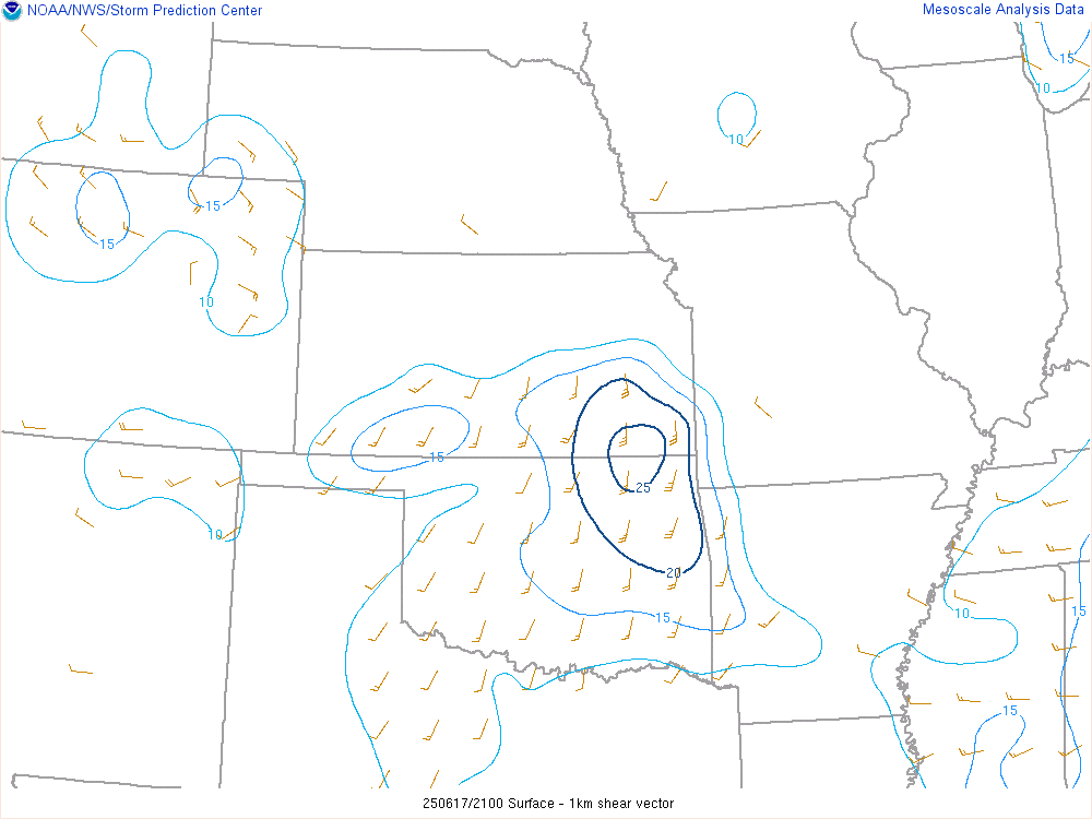
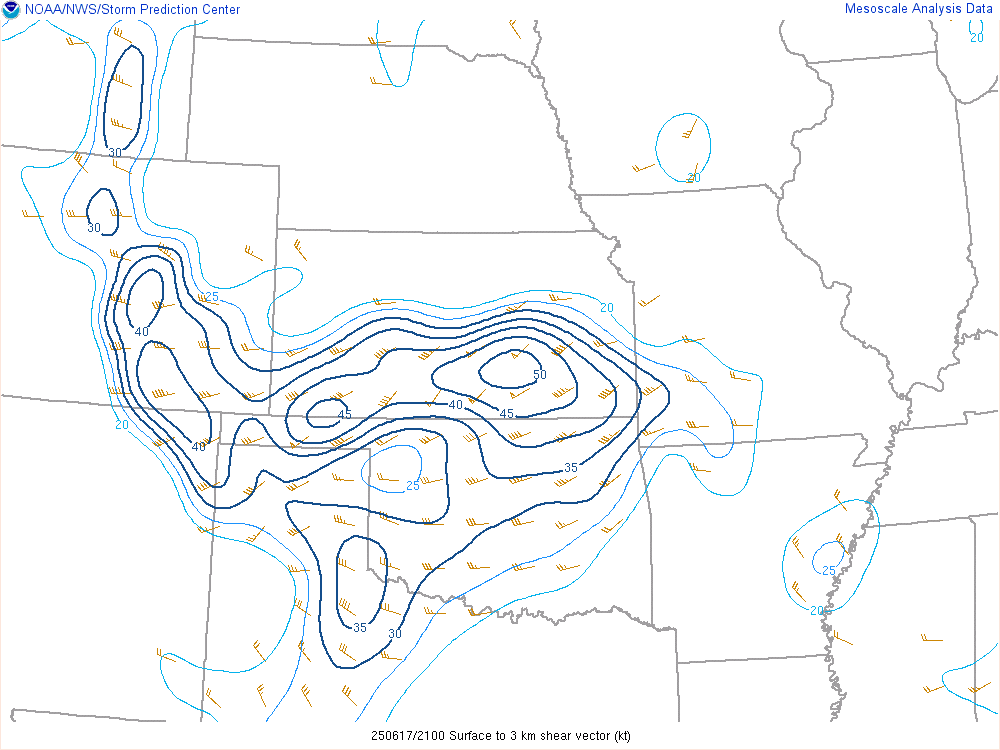
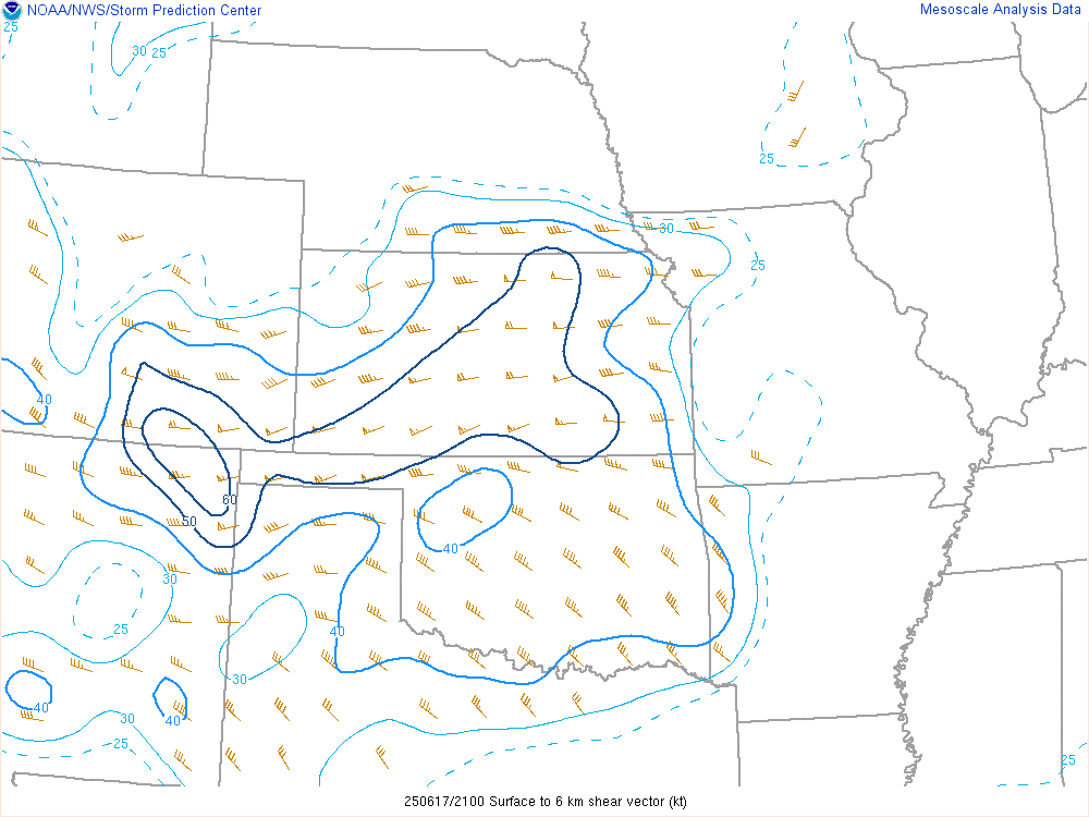
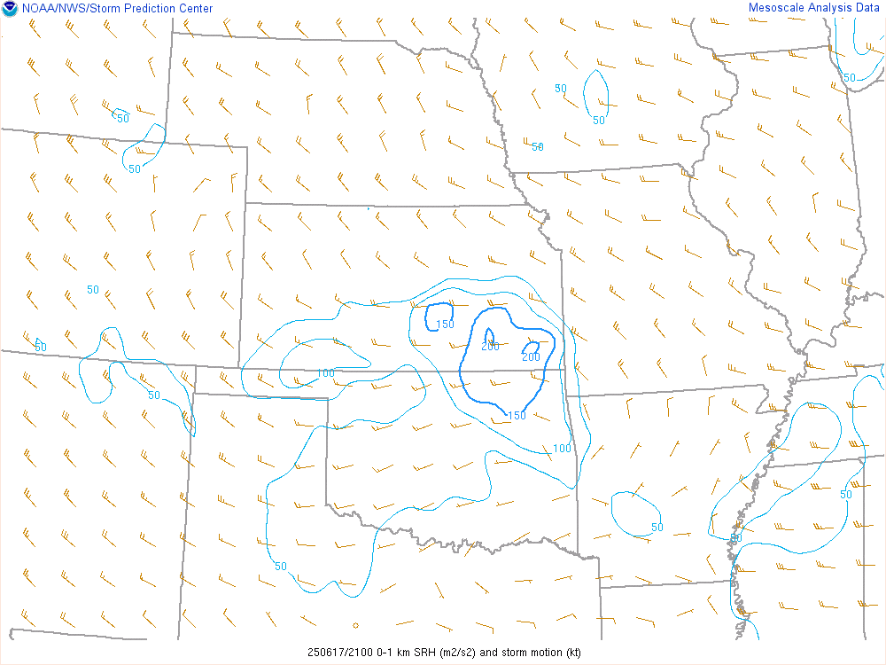
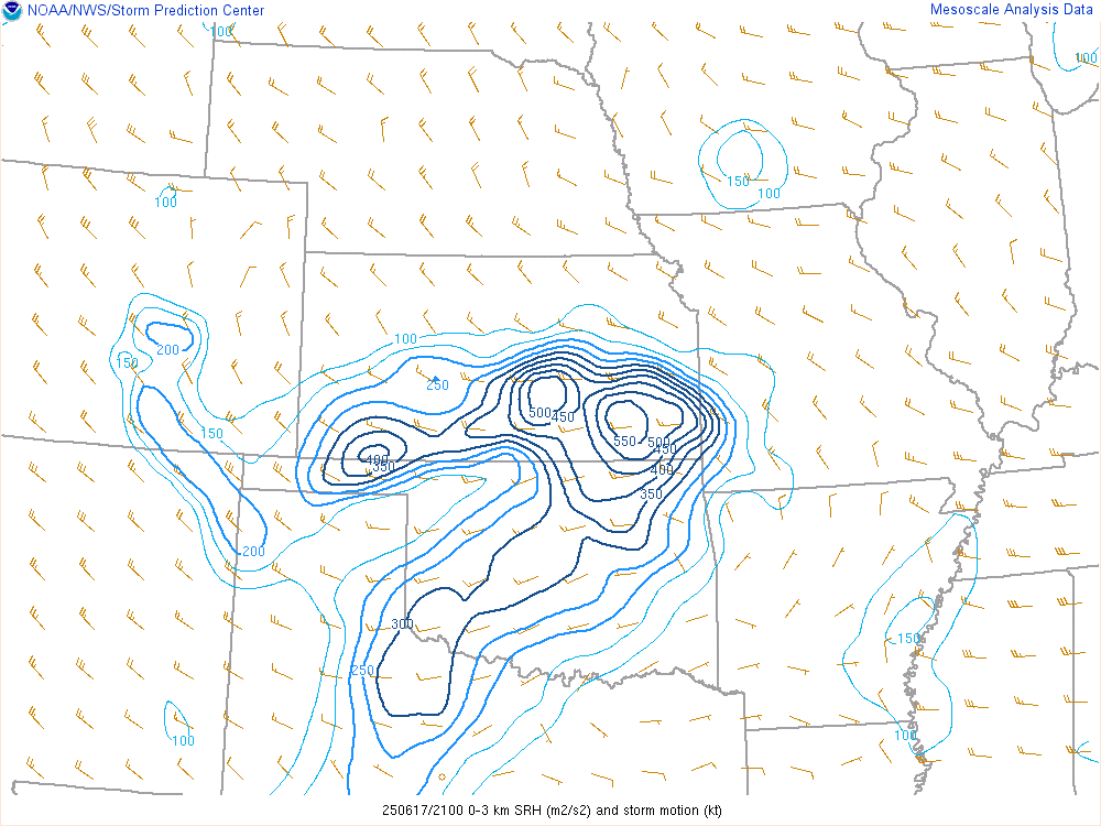
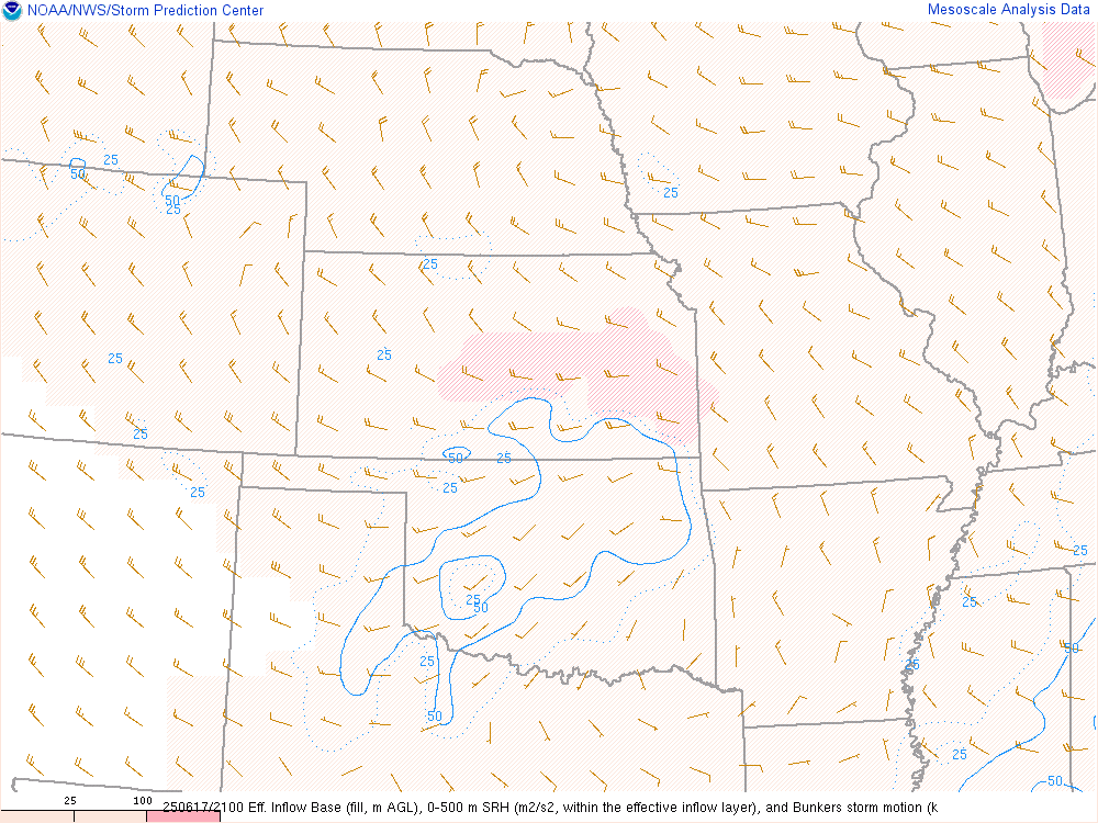
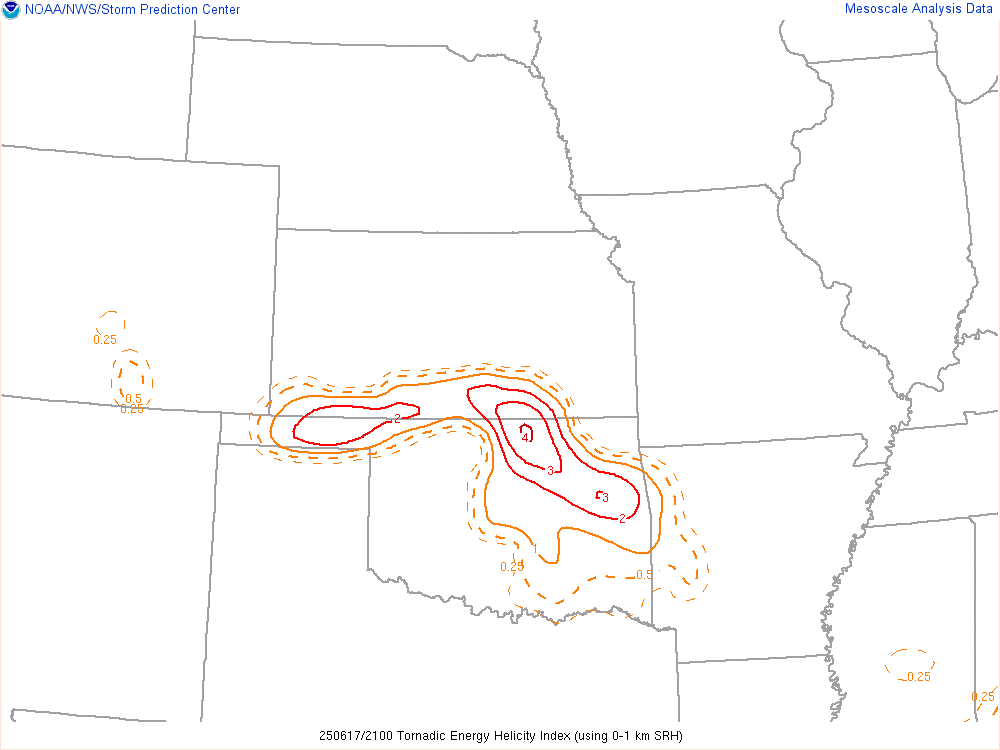
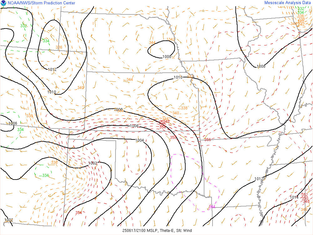
Visible Satellite Loop and 20Z SPC Mesoanalysis
We’d hang out only for a short time at Casey’s in Blackwell before heading westbound on SH-11 towards Medford and then north on 81. The time was shortly after 3:30 pm and we were after the storms blowing up just east of Medicine Lodge Kansas.

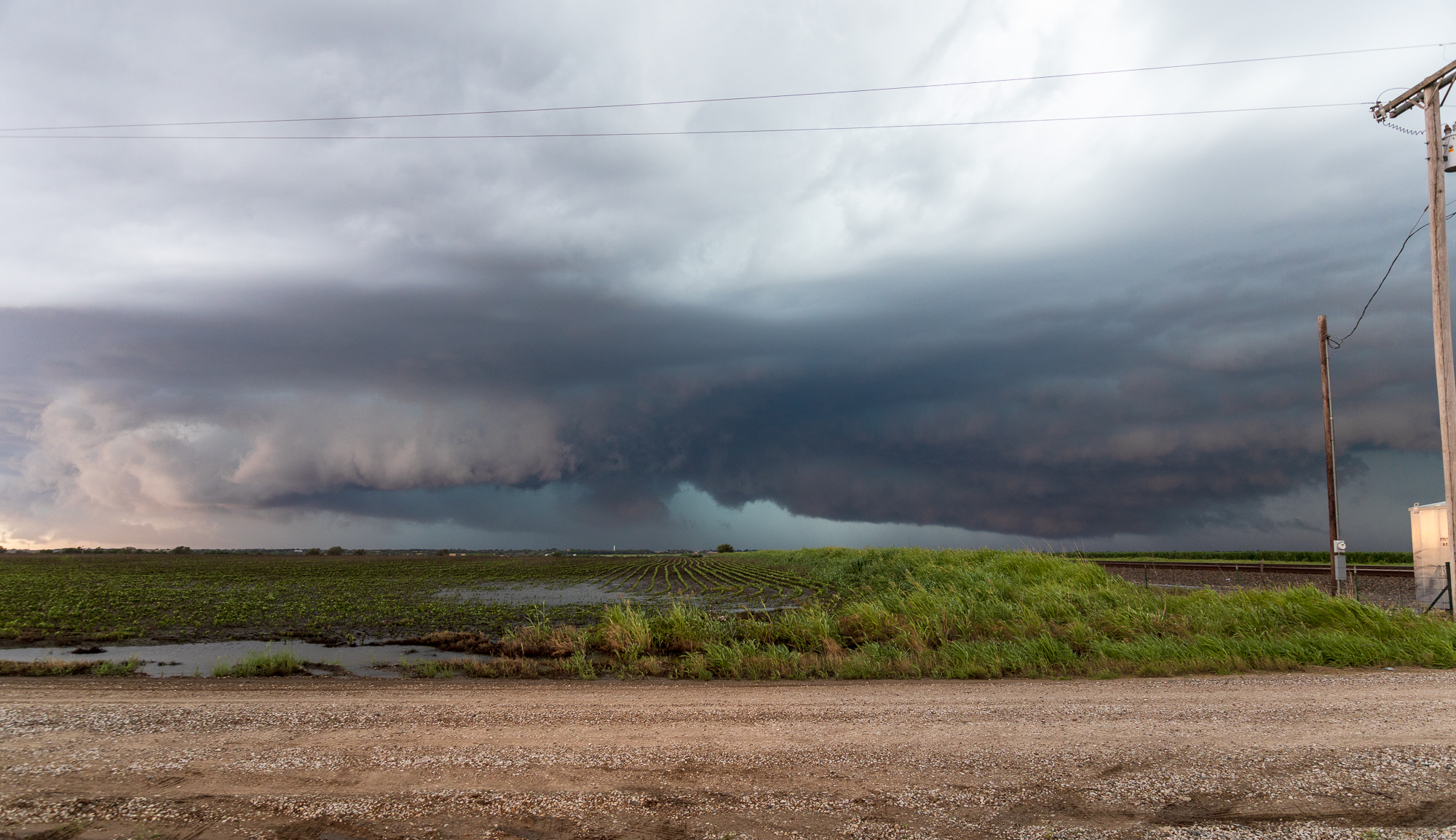
Shortly after 4pm CDT – On a Severe Warned storm near Attica
As the storm continued to blow up near Attica Kansas, we approached from the south and east. As we could mostly see under the storm from the east, we never went much further west than Freeport. A tornado was reported near Harper around 4:40pm, although we did not witness it.

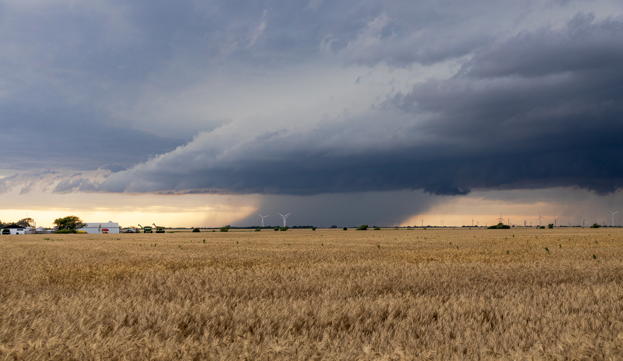
The storms had a somewhat grungy look all day. The first photo stop we’d make was just west of Mayfield where I managed to catch a lightning strike while photographing this shelfy looking storm.

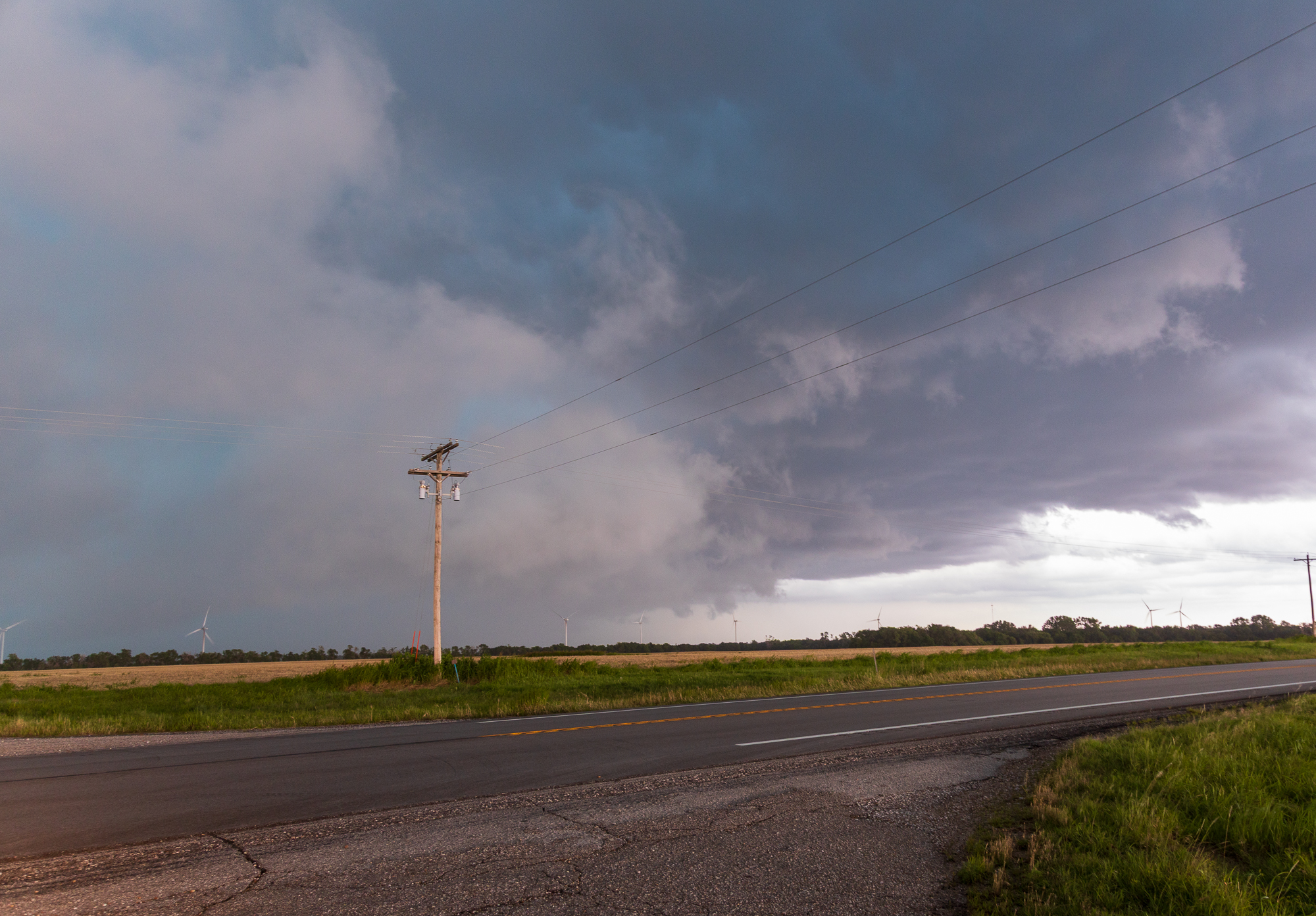
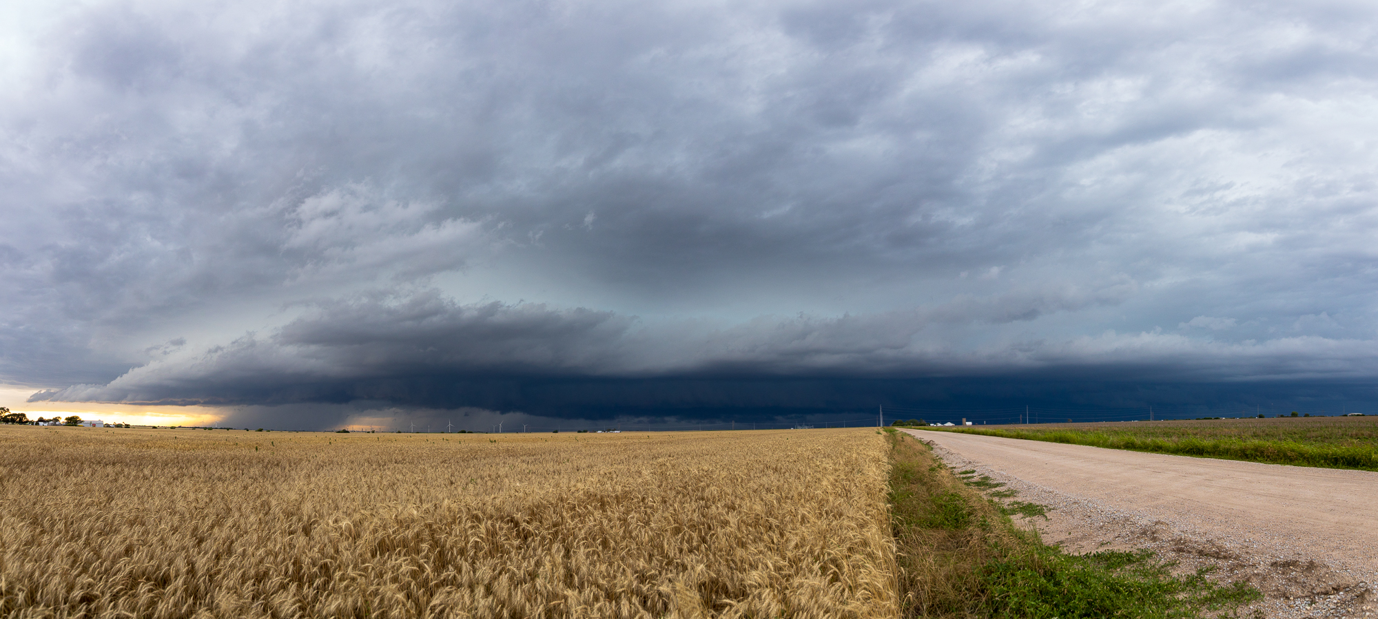
These photos were further east towards I-35 in Wellington and Ashton. We were getting very cold outflow winds from the north by the time we got to Ashton and decided to head back south.
Dropping back into Oklahoma
We dropped back south into Oklahoma on I-35 and took it down to the Blackwell/SH-11 Exit.
It became obvious that these storms were very outflow dominant and would not drop any tornadoes. With sunset nearing, we headed south on I-35 back to OKC.