Storm Chase Details
Miles Logged: 361
States Chased: OK
Tornadoes Witnessed: 1
Spotter Network Reports: 4

- Wall Cloud 1 miles W of BOKCHITO, OK
- Tornado 3 miles N of BOKCHITO, OK
- Tornado 5 miles N of BOKCHITO, OK
- Wall Cloud 6 miles S of BENTLEY, OK
Severe Reports: Storm Reports
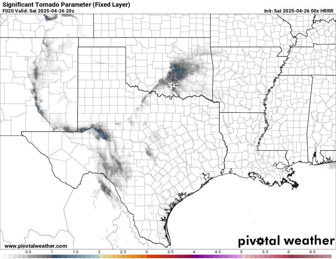
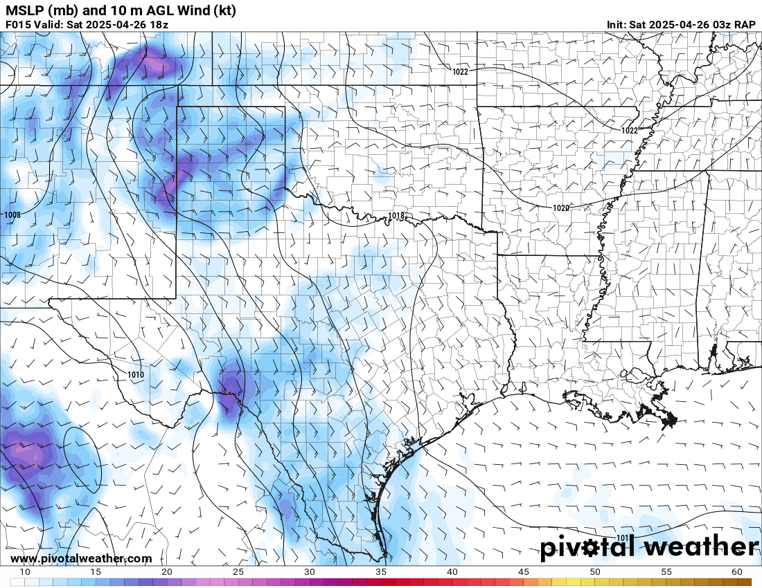
With an MCV evident in Oklahoma as well as a warm front, I decided to take a chance on low topped supercells along the warm front in Southeast Oklahoma. When leaving Norman, the rain was falling hard and flooding was occuring. We’d head down to southeast Oklahoma and witness a tornado near Bokchito and be back to Norman in time for Outback Steakhouse to celebrate.
Forecast
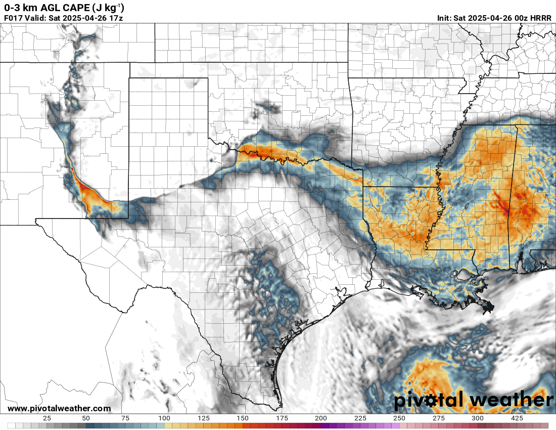
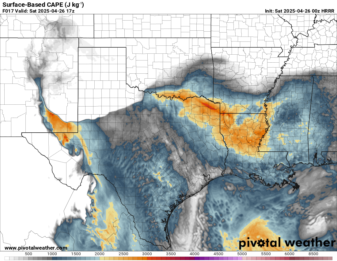
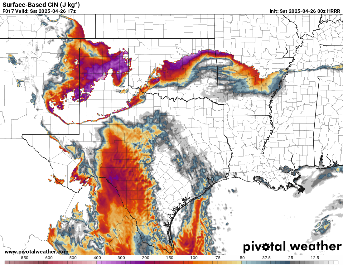
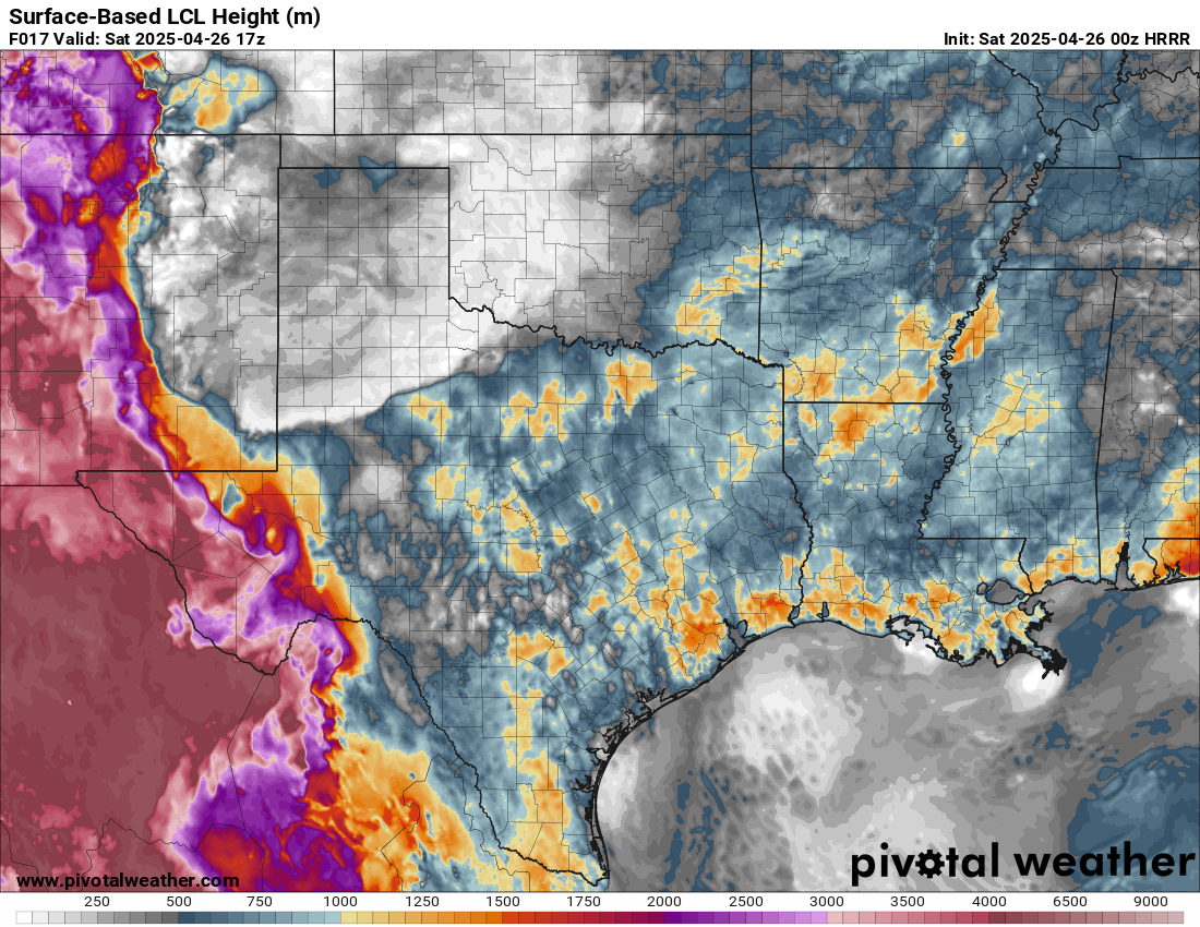
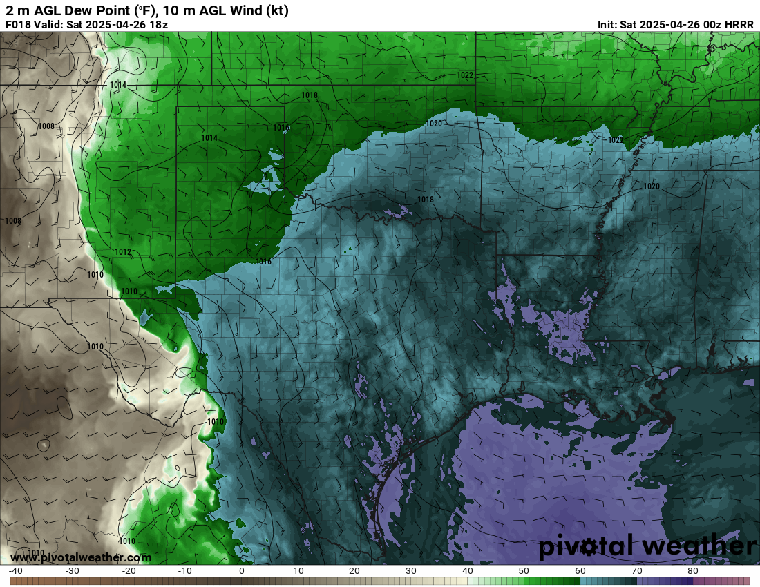
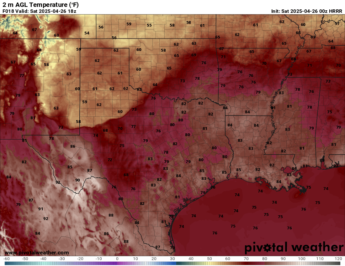
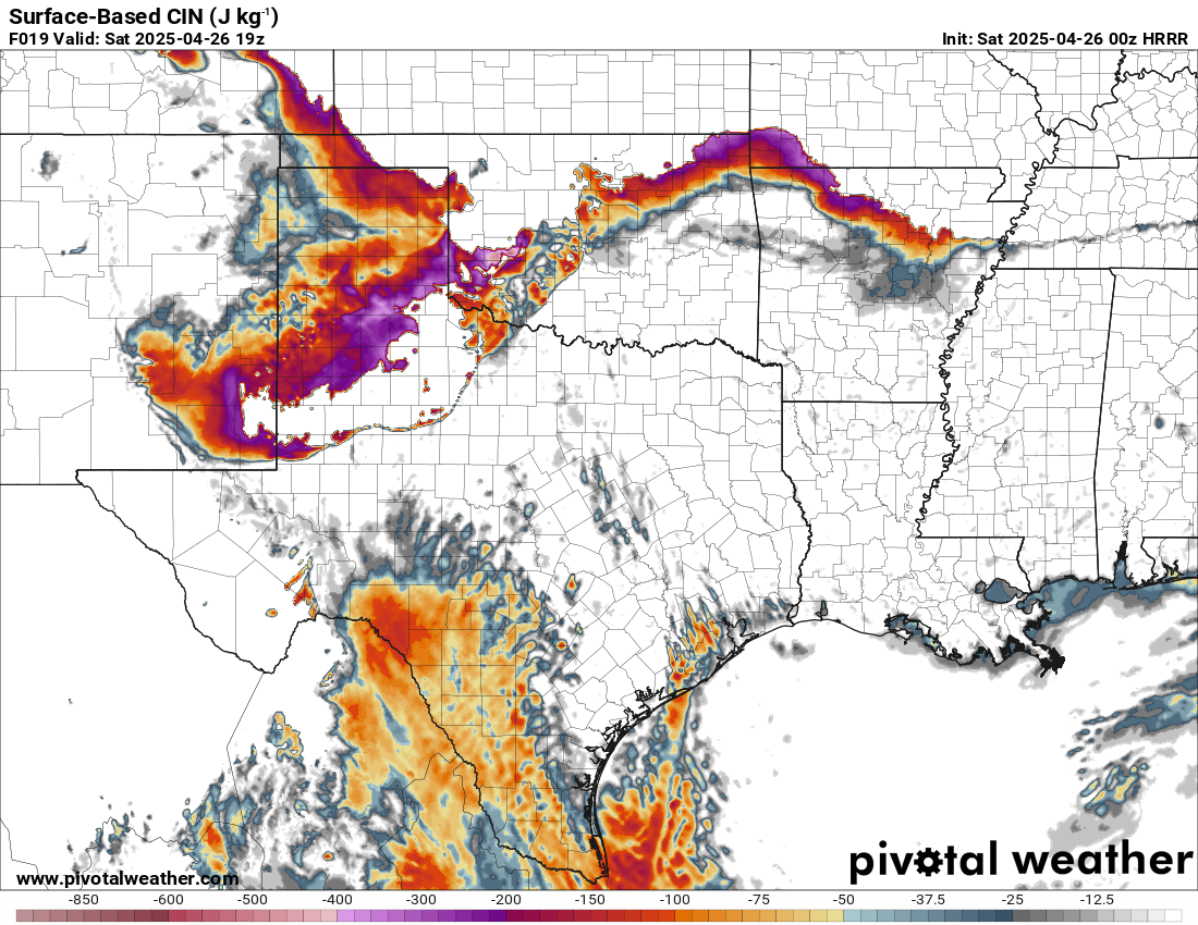
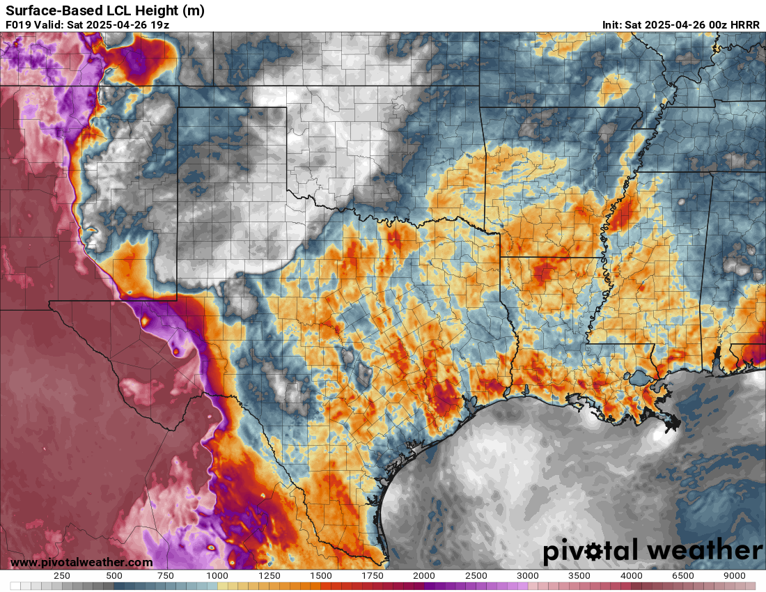
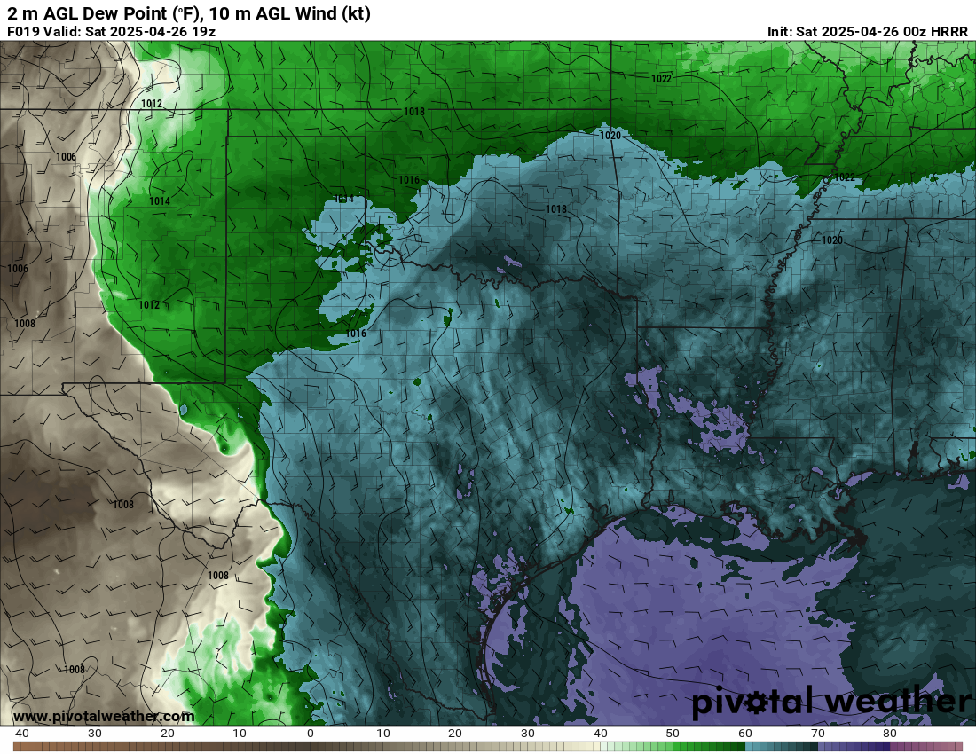
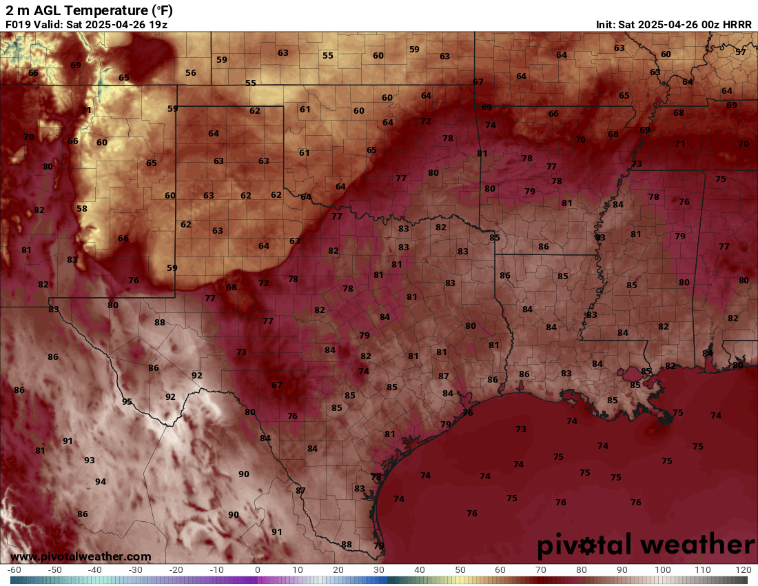
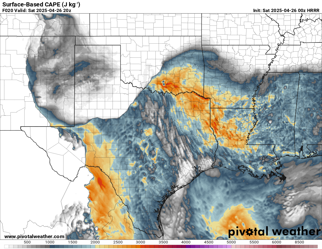
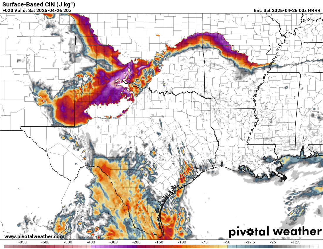
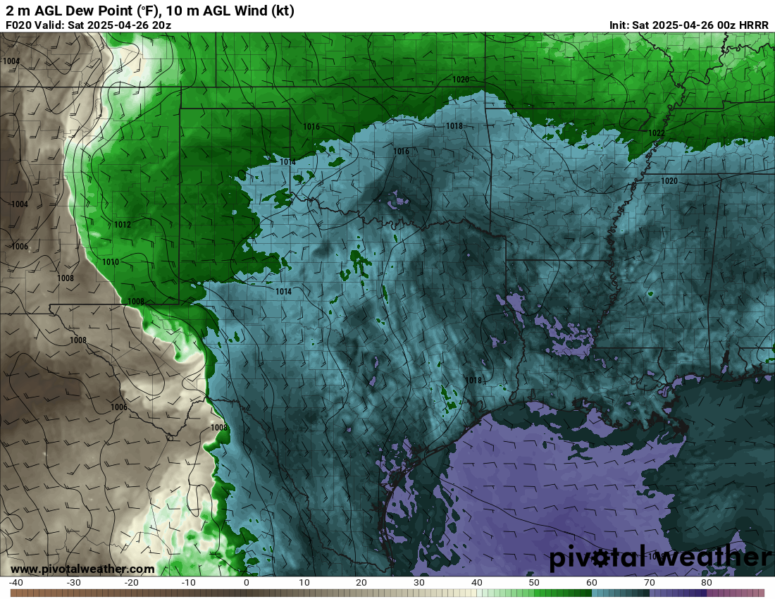
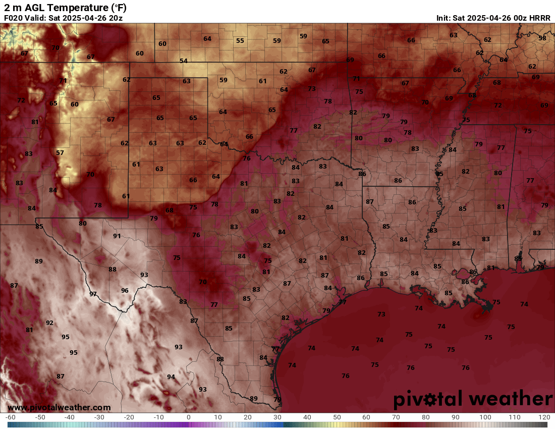
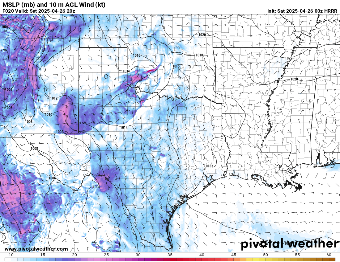
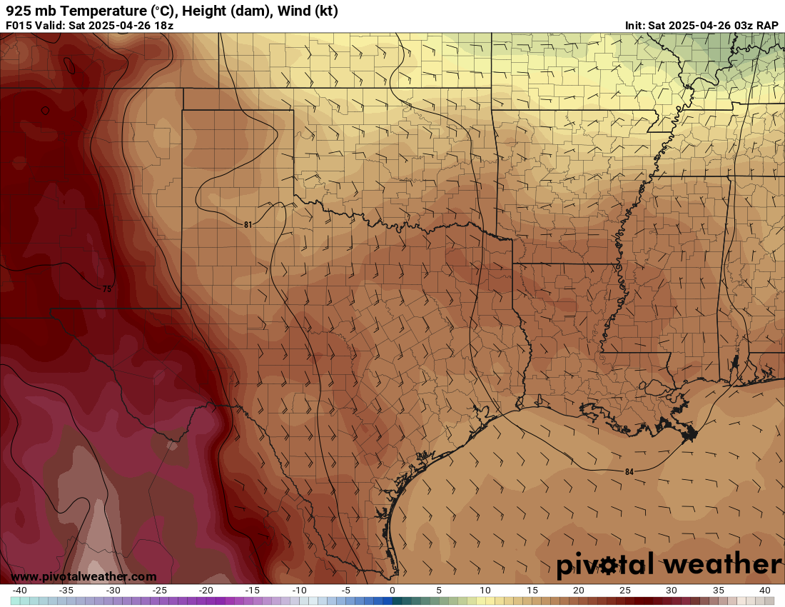
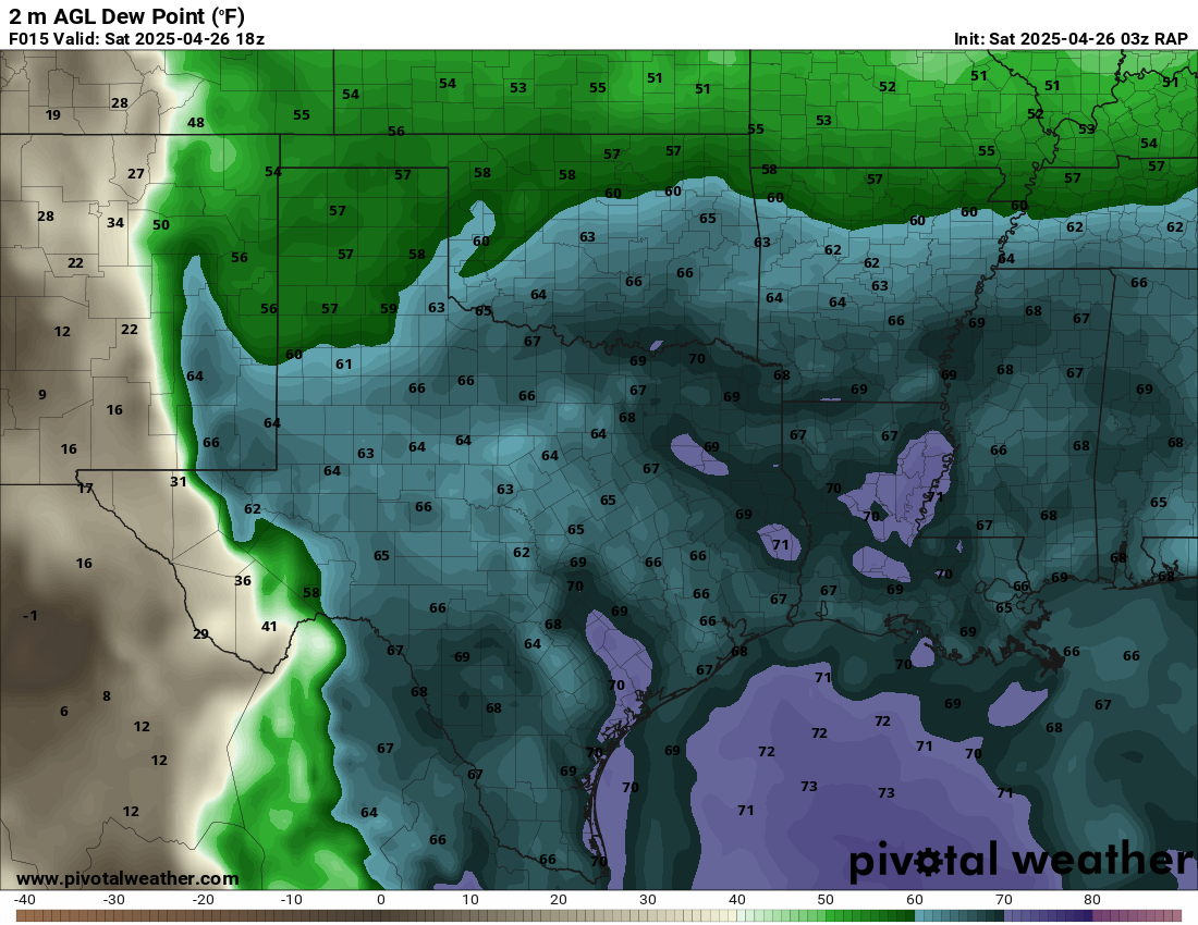
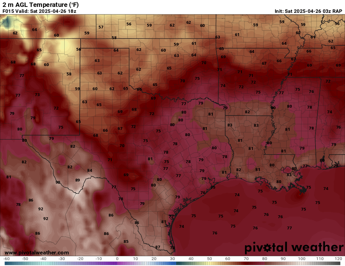
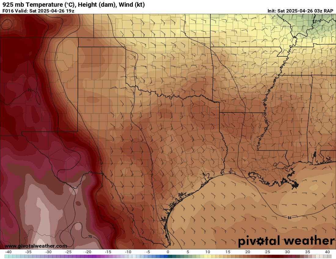
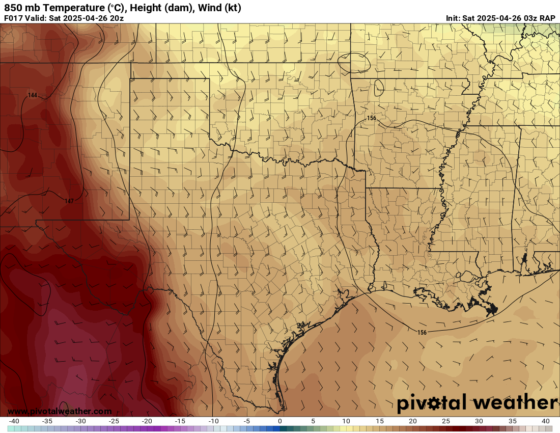
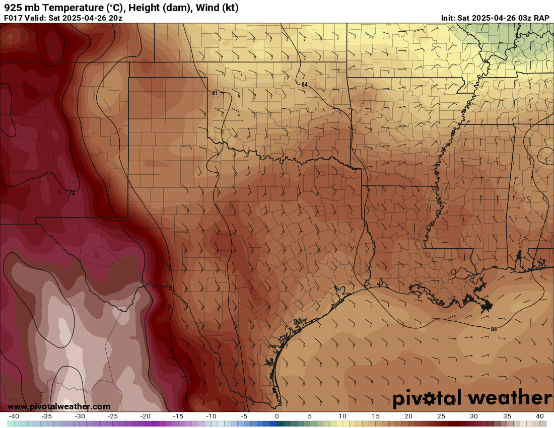
A bit of a sleeper day, it seemed like it might be a washout first thing in the morning. Waking up to cold stable air with fog and rain does not scream chase day. Conditions in Northeast Texas were a little different south of the warm front.
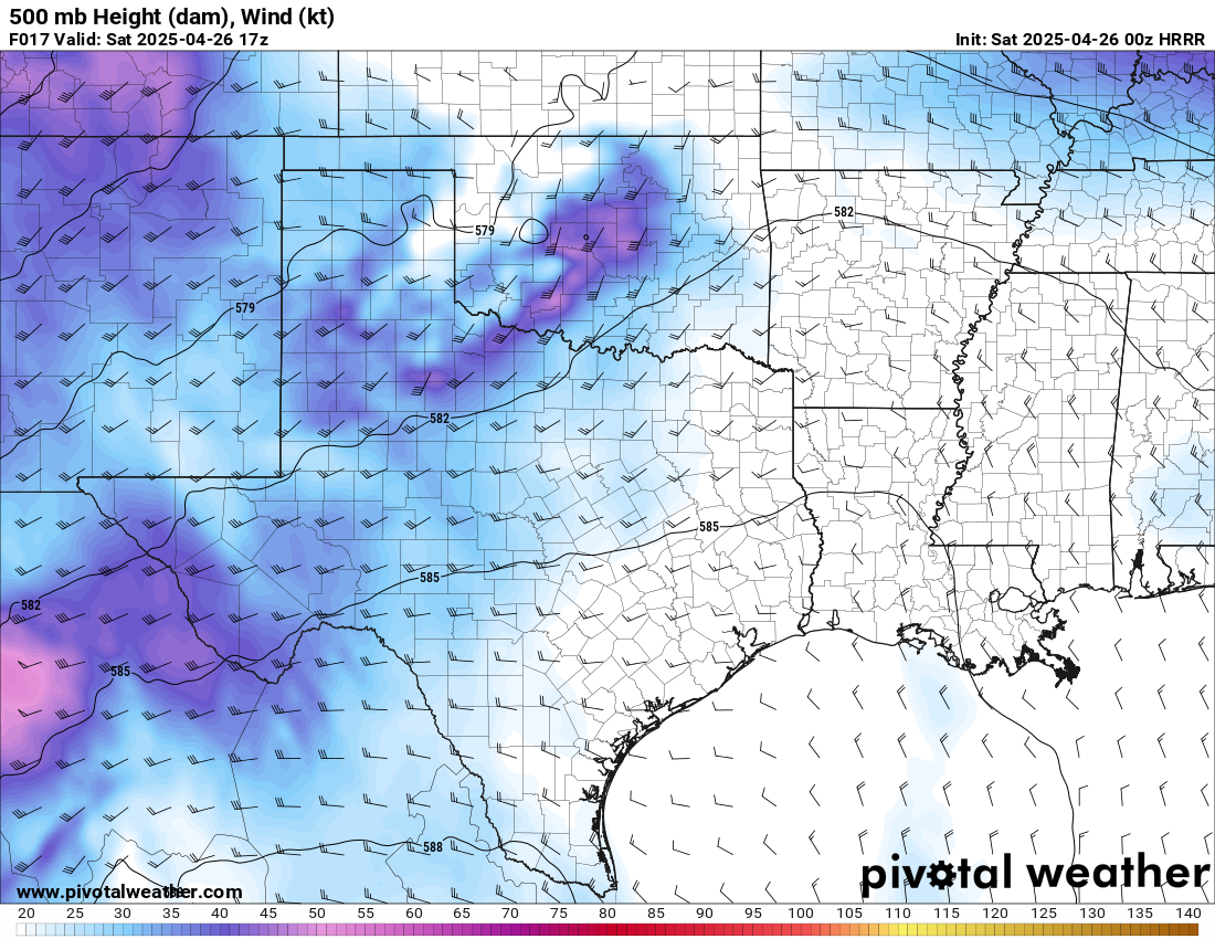
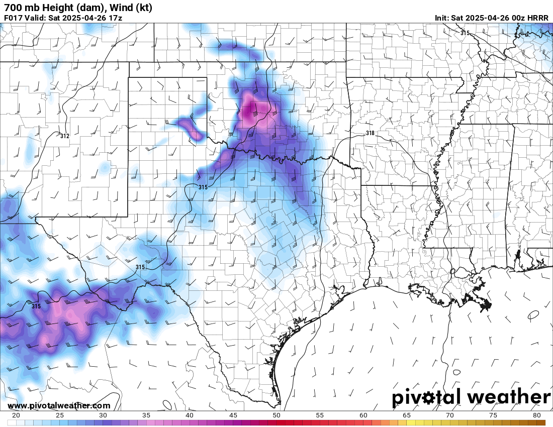
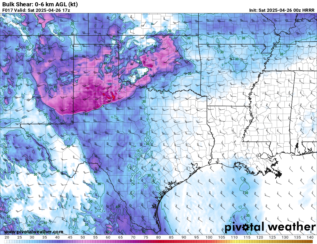
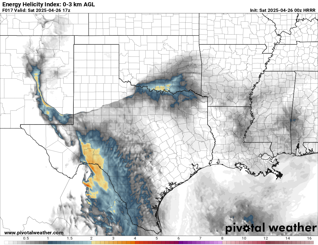
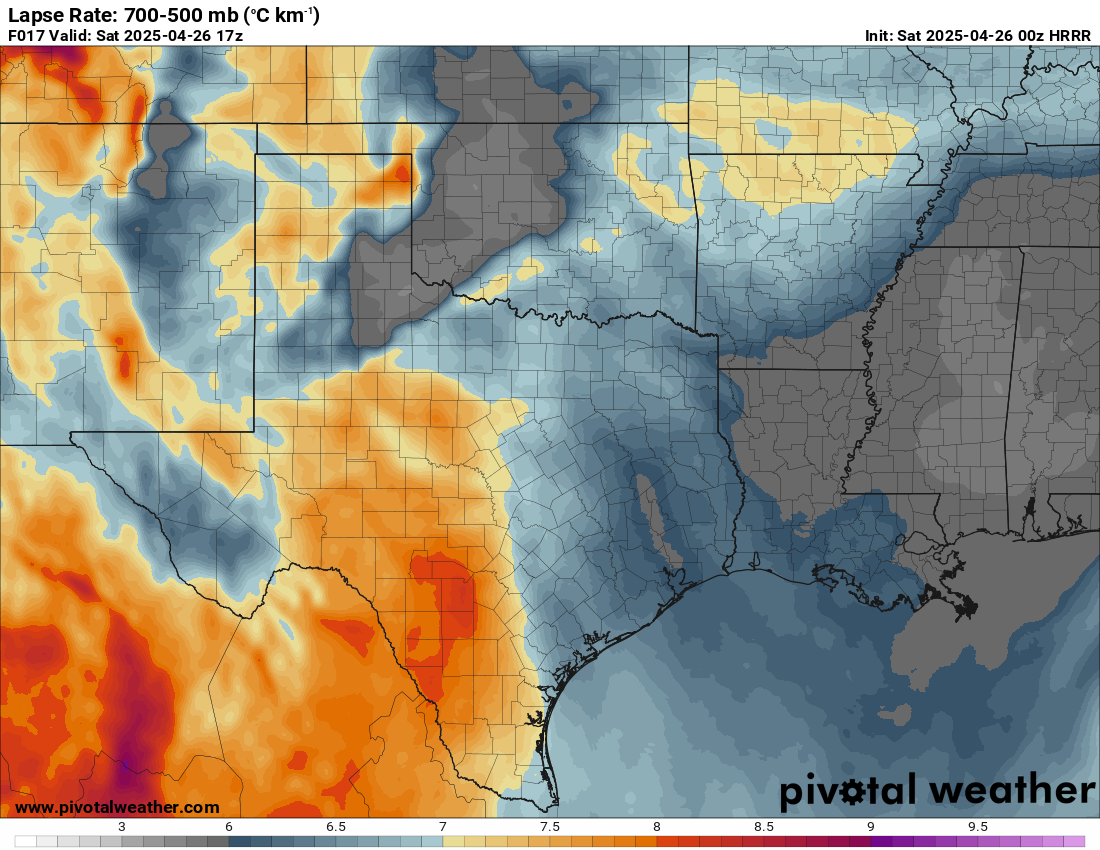
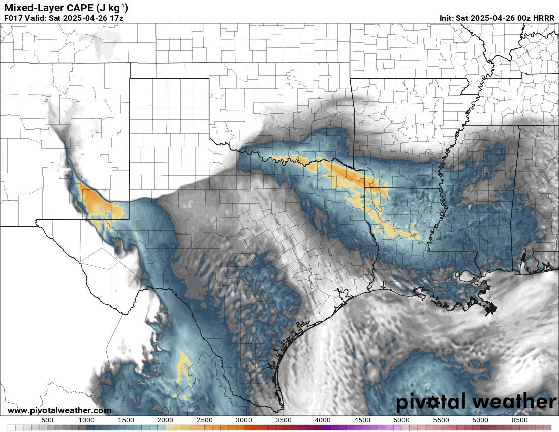
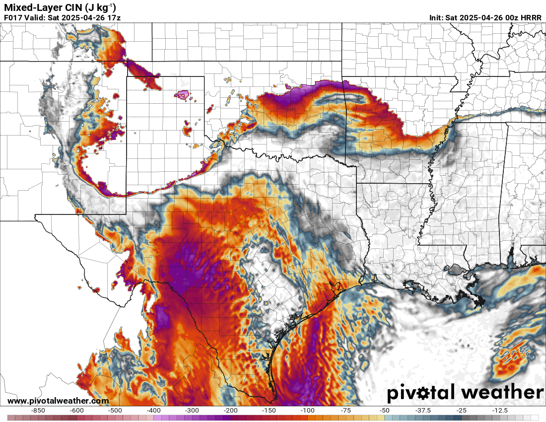
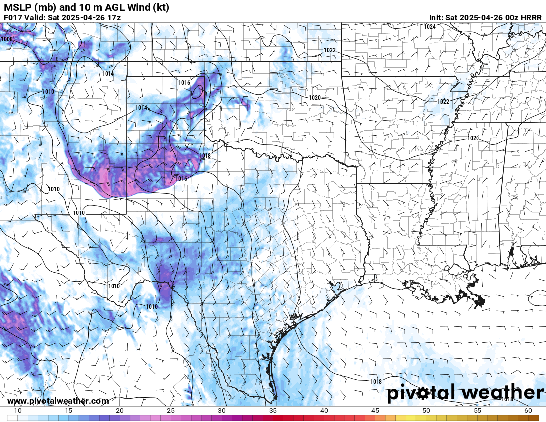
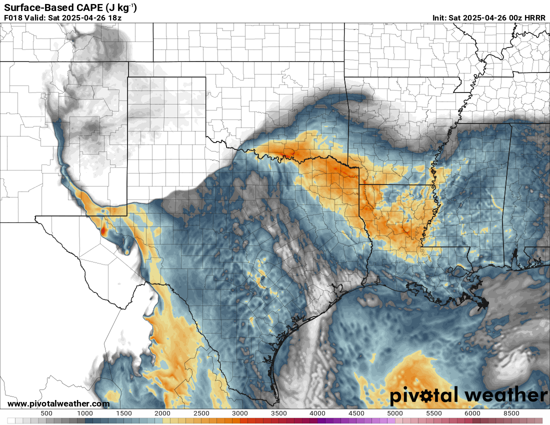
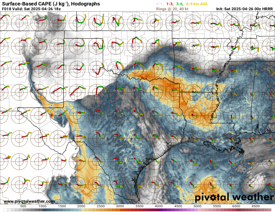
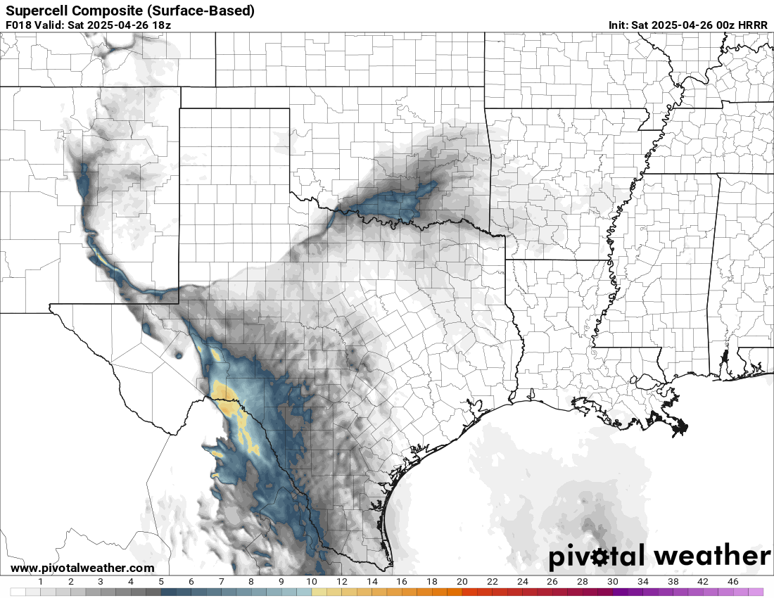
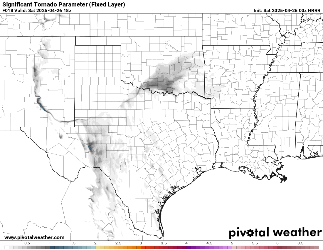
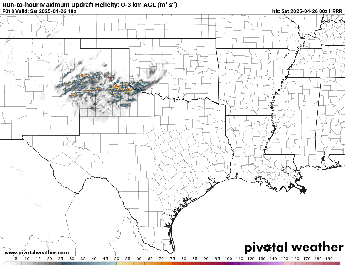
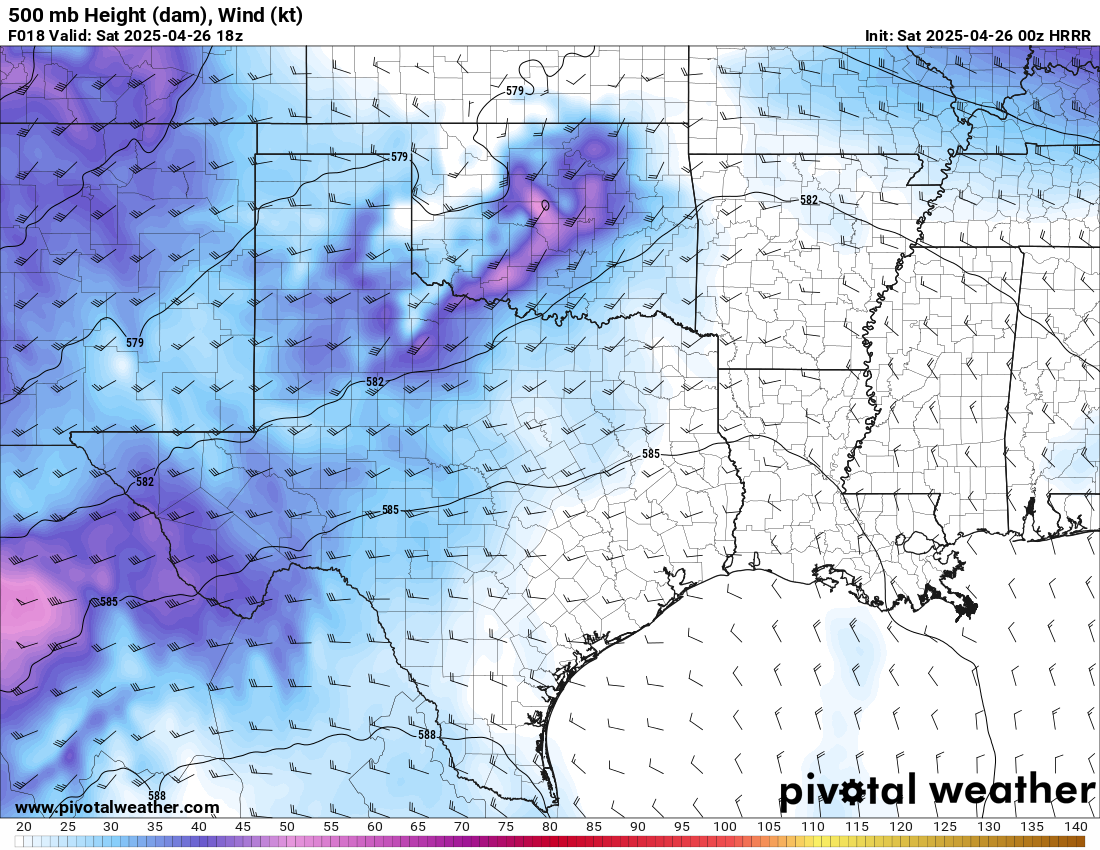
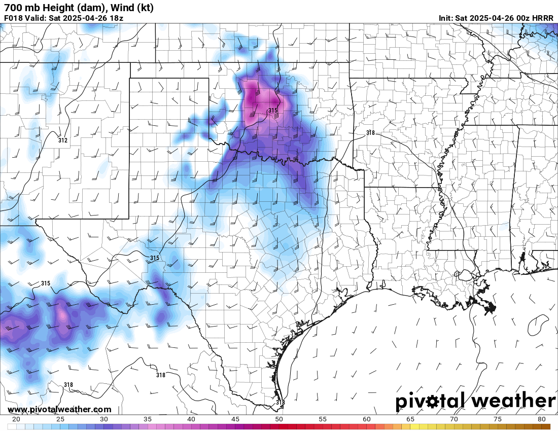
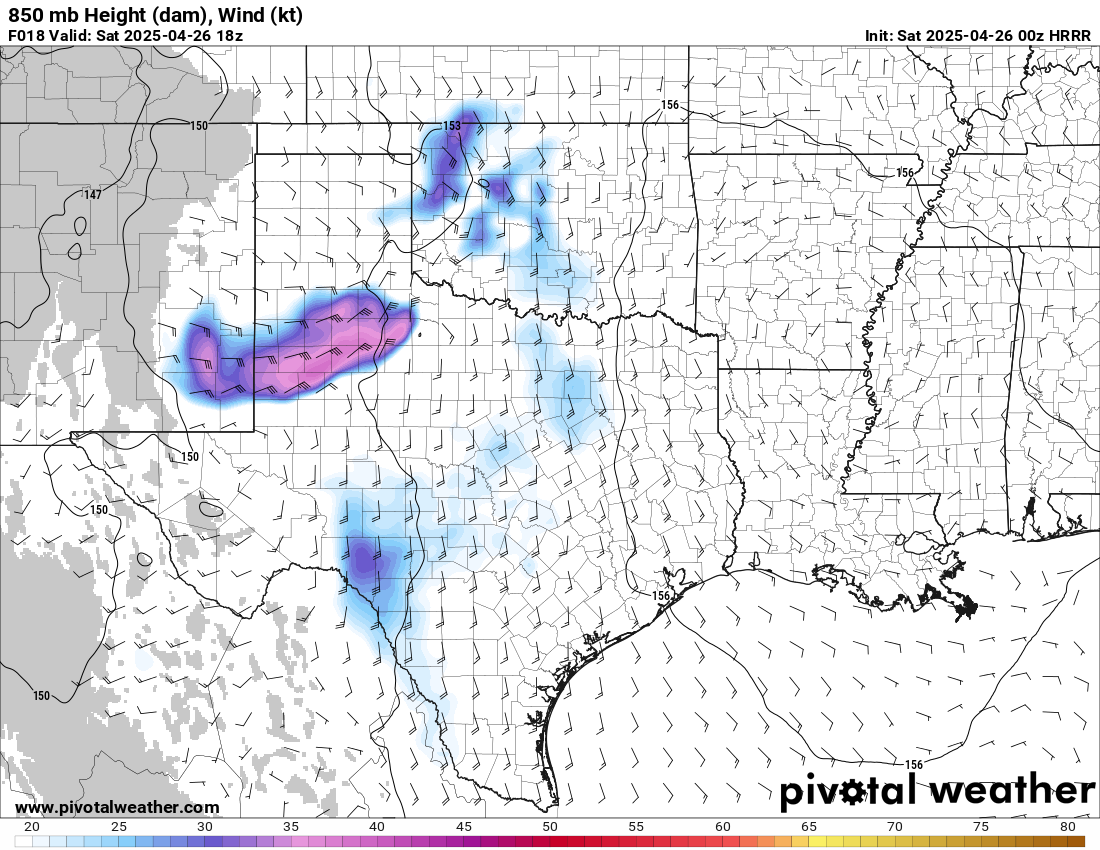
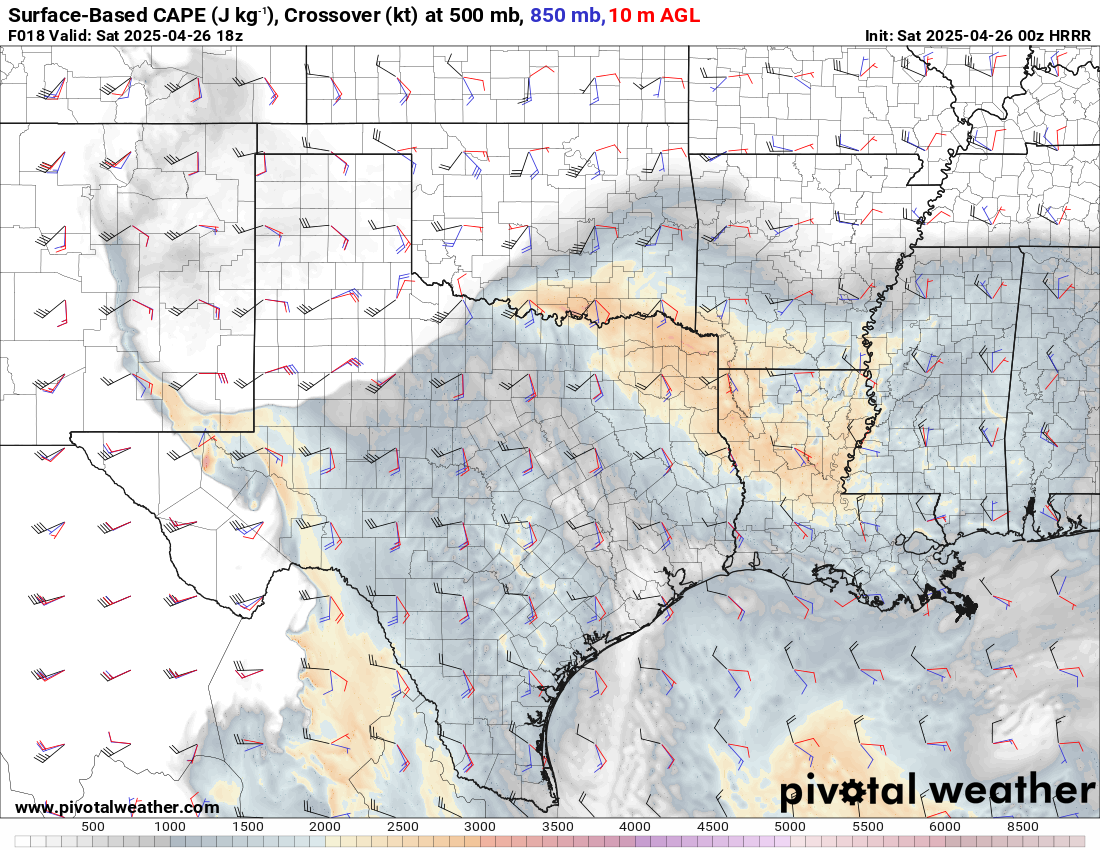
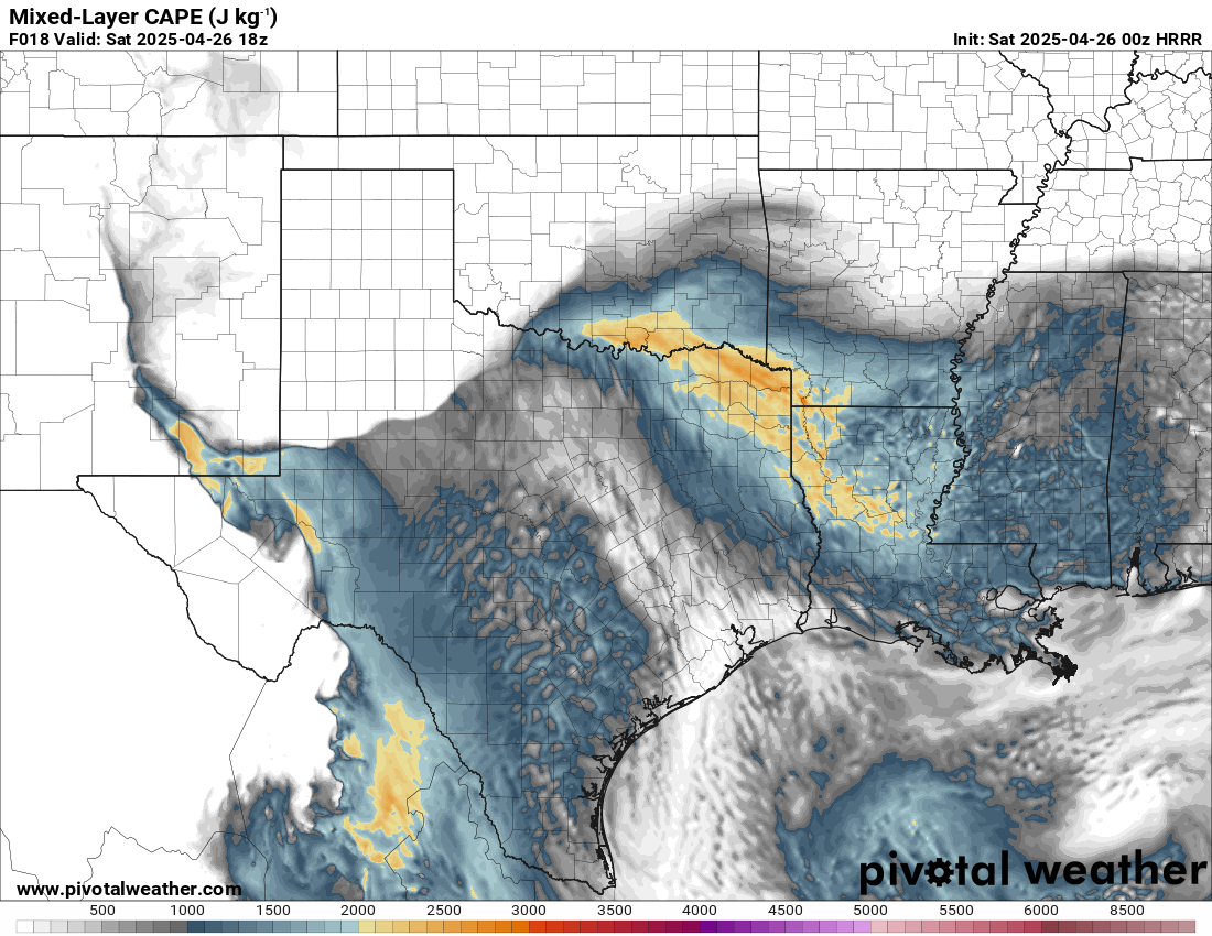
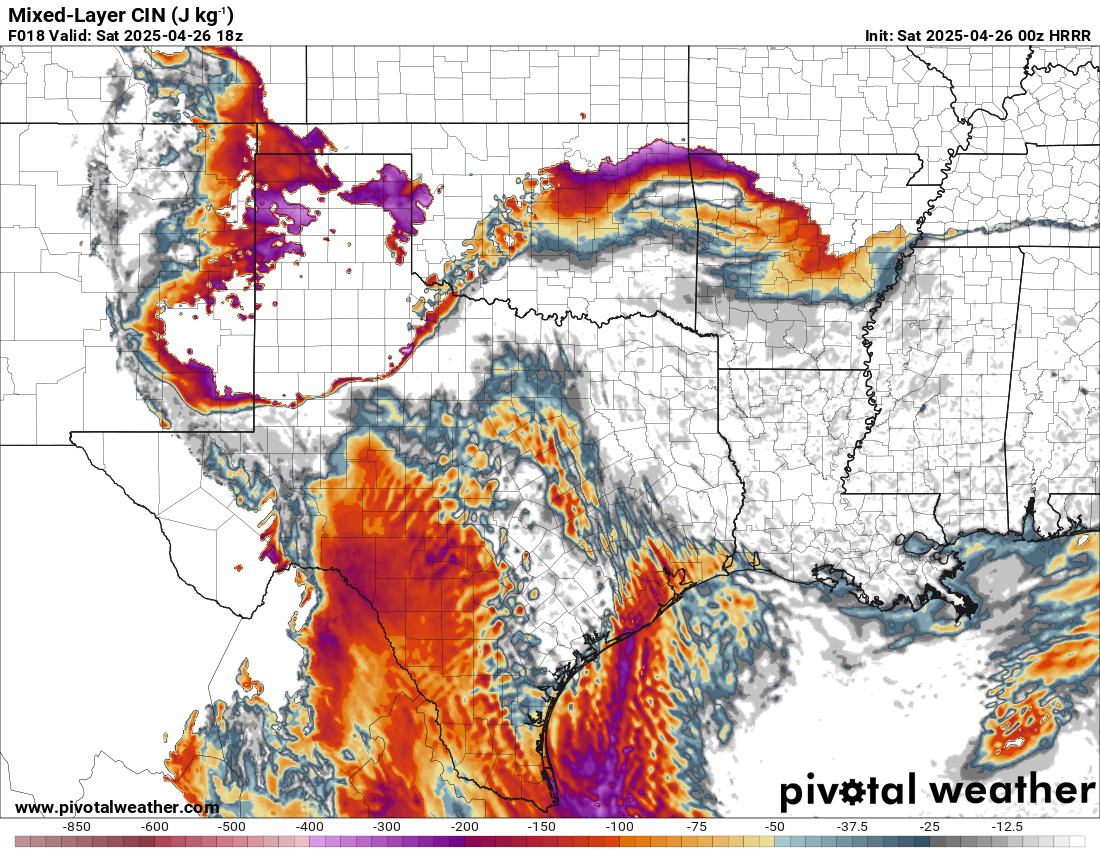
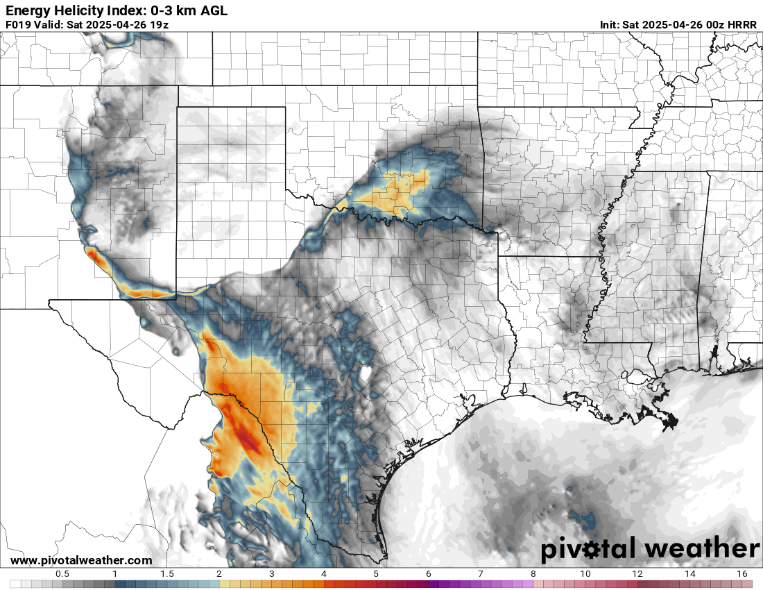
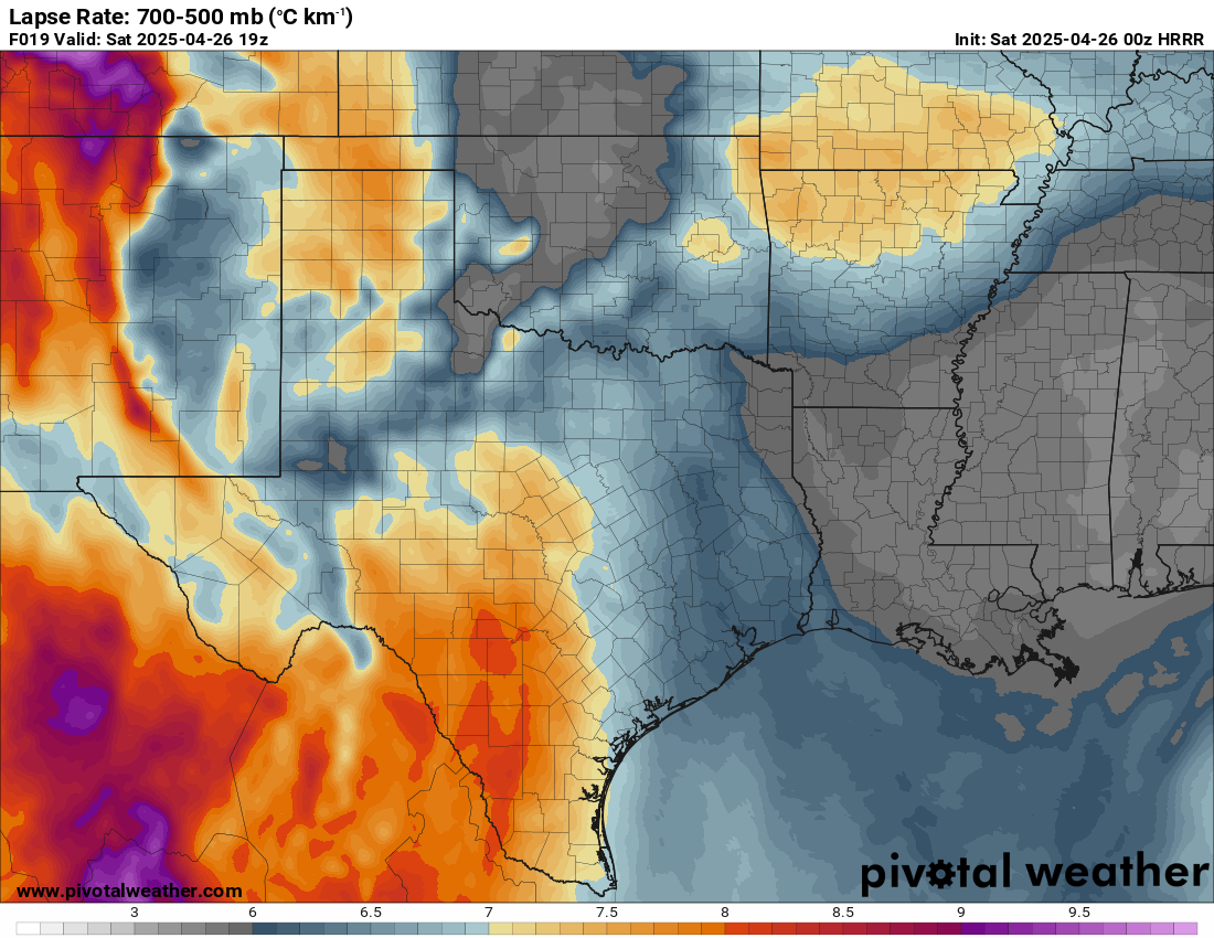
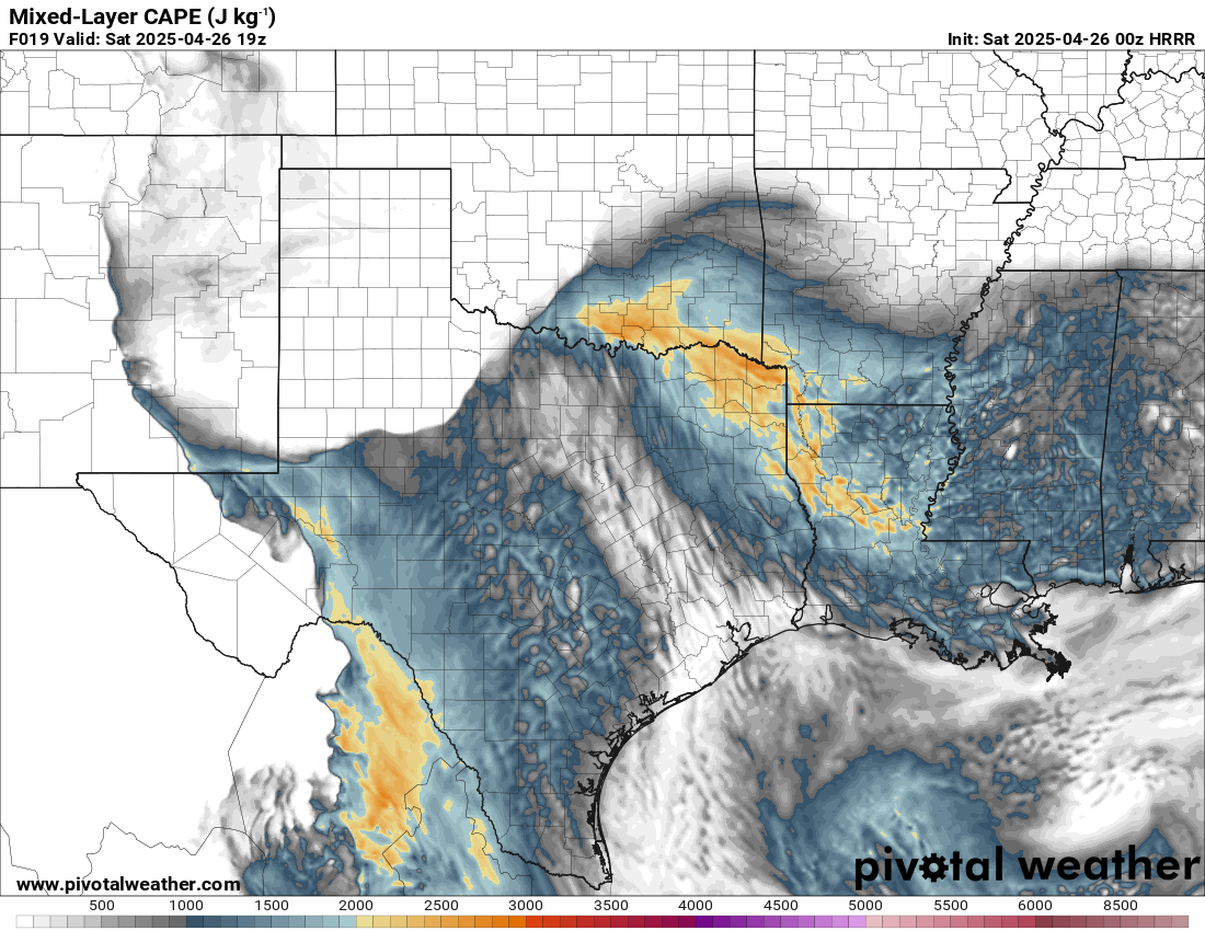
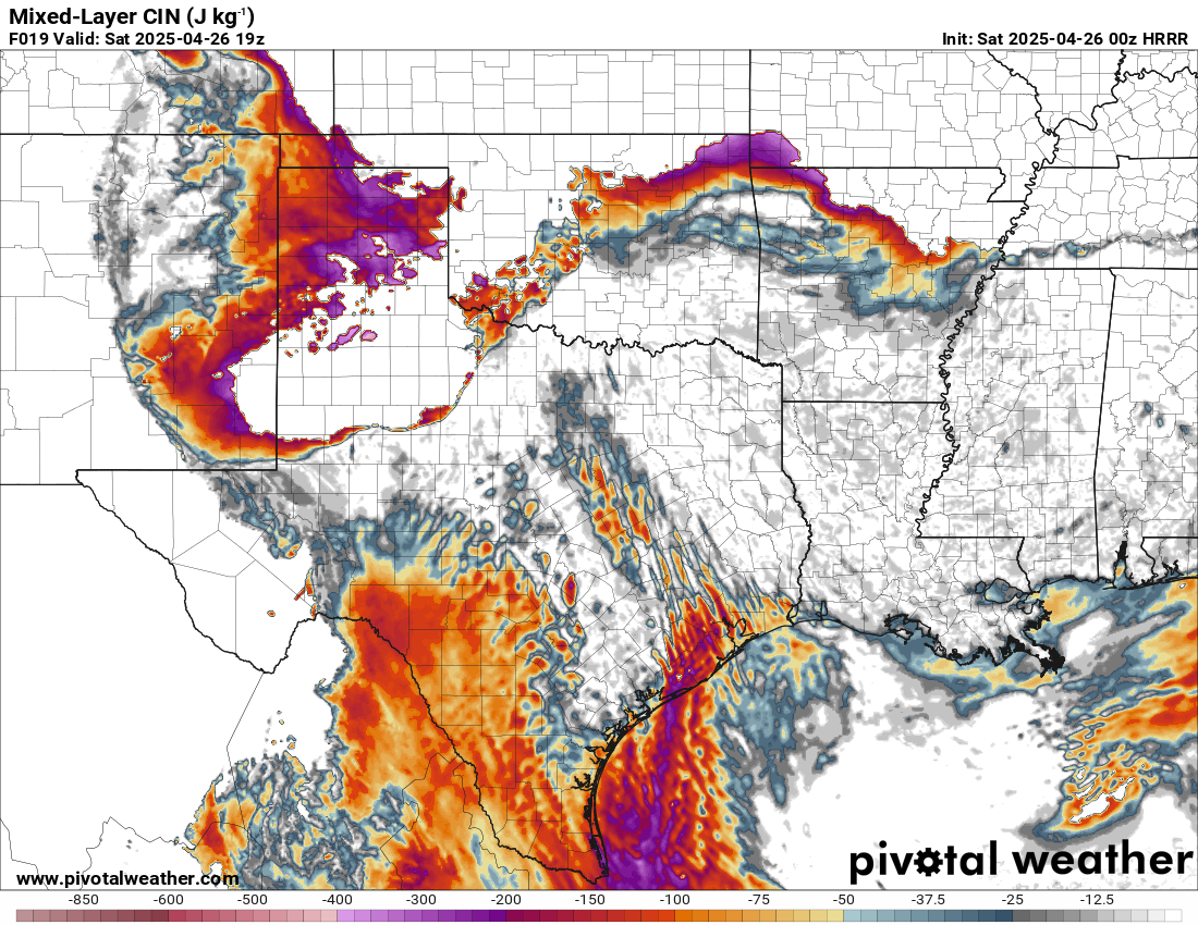
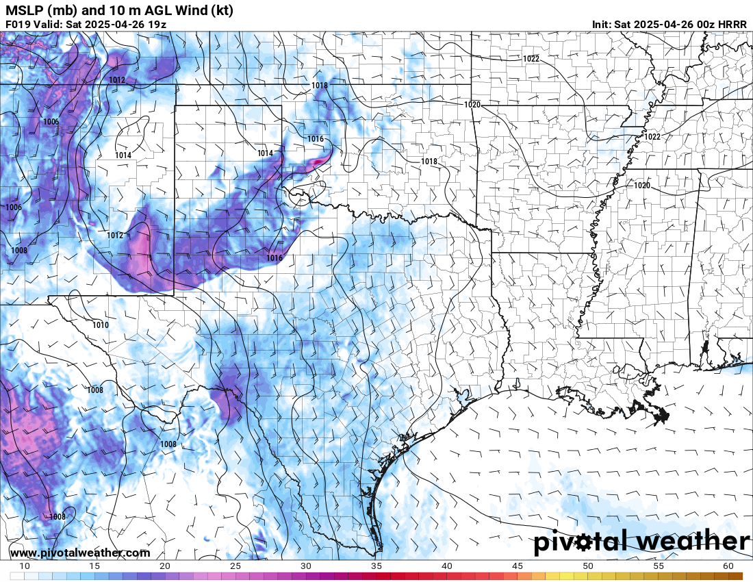
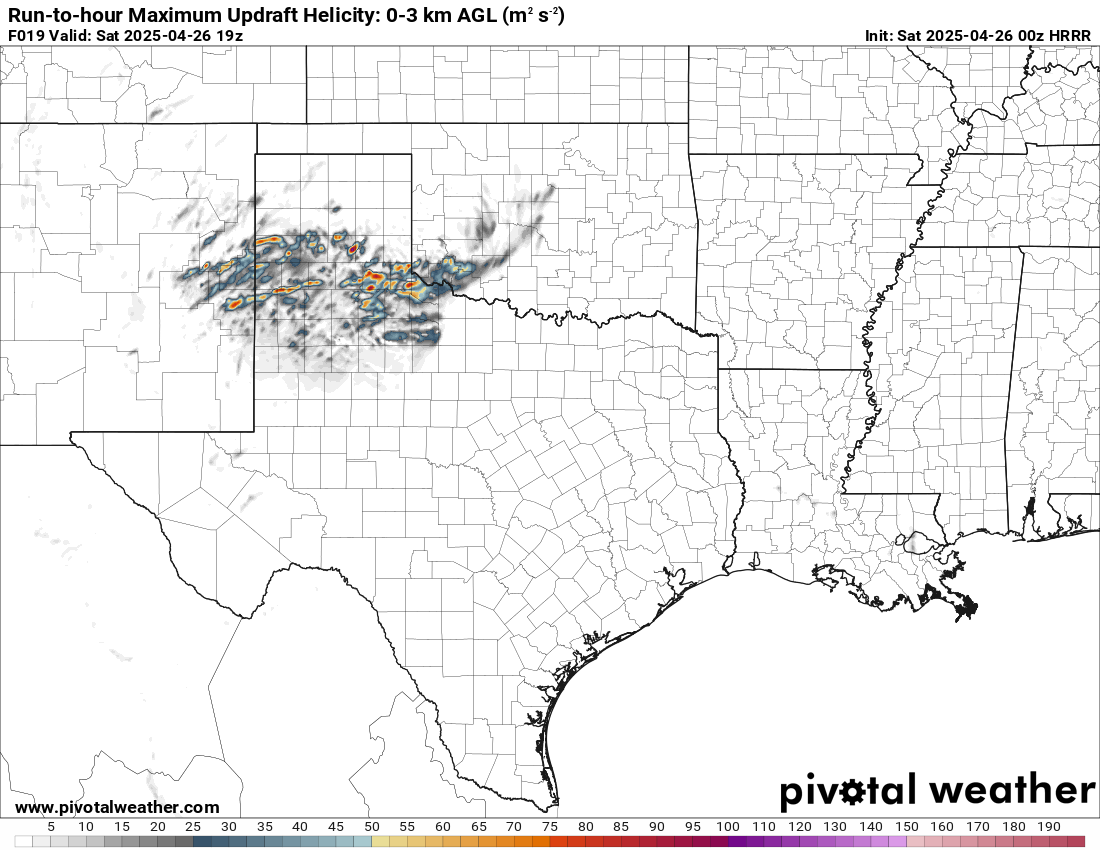
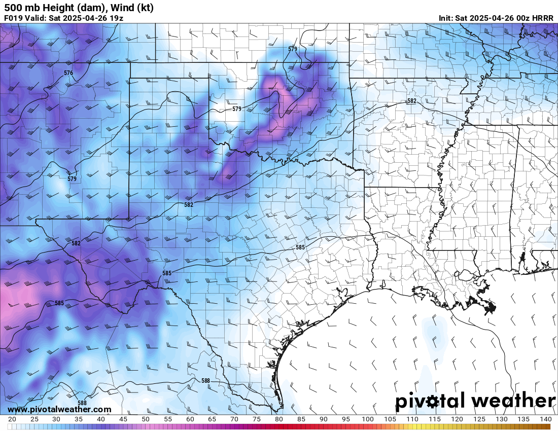
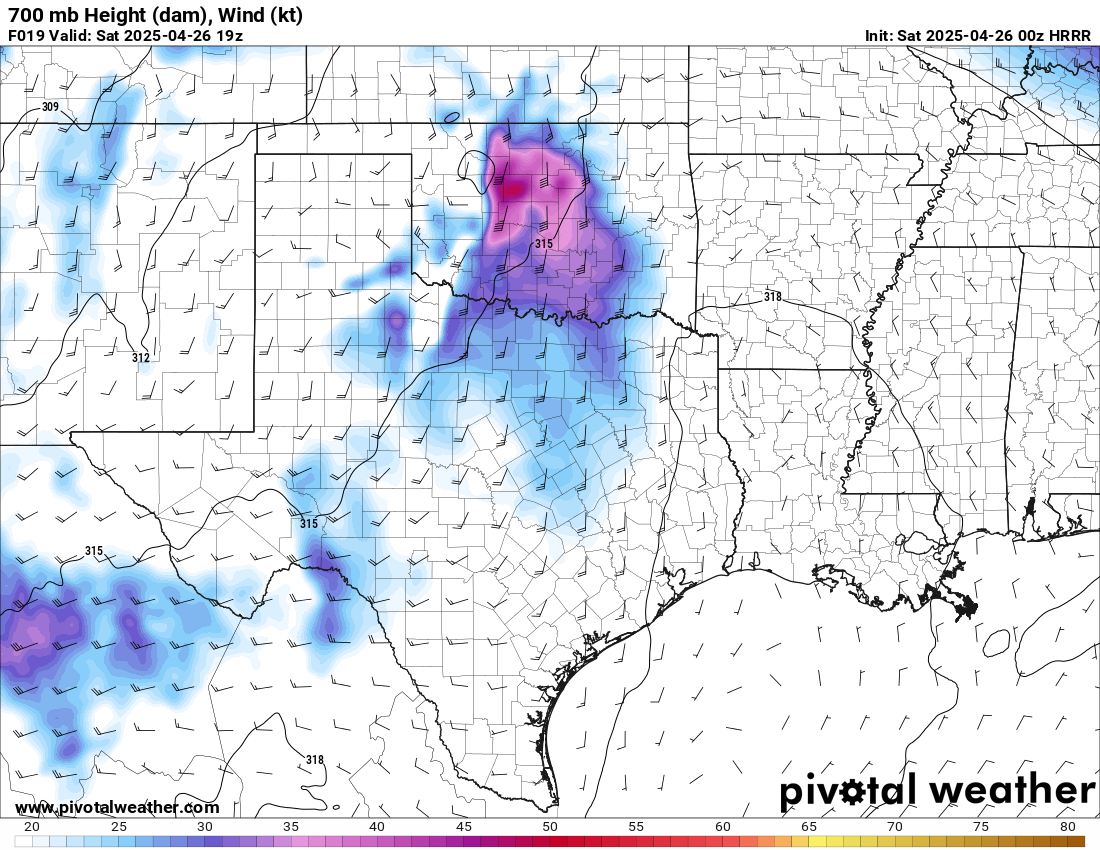
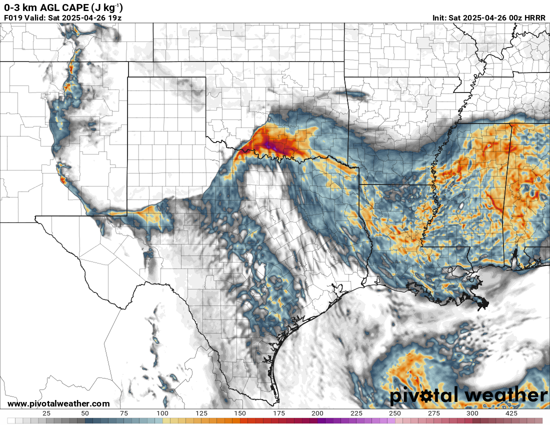
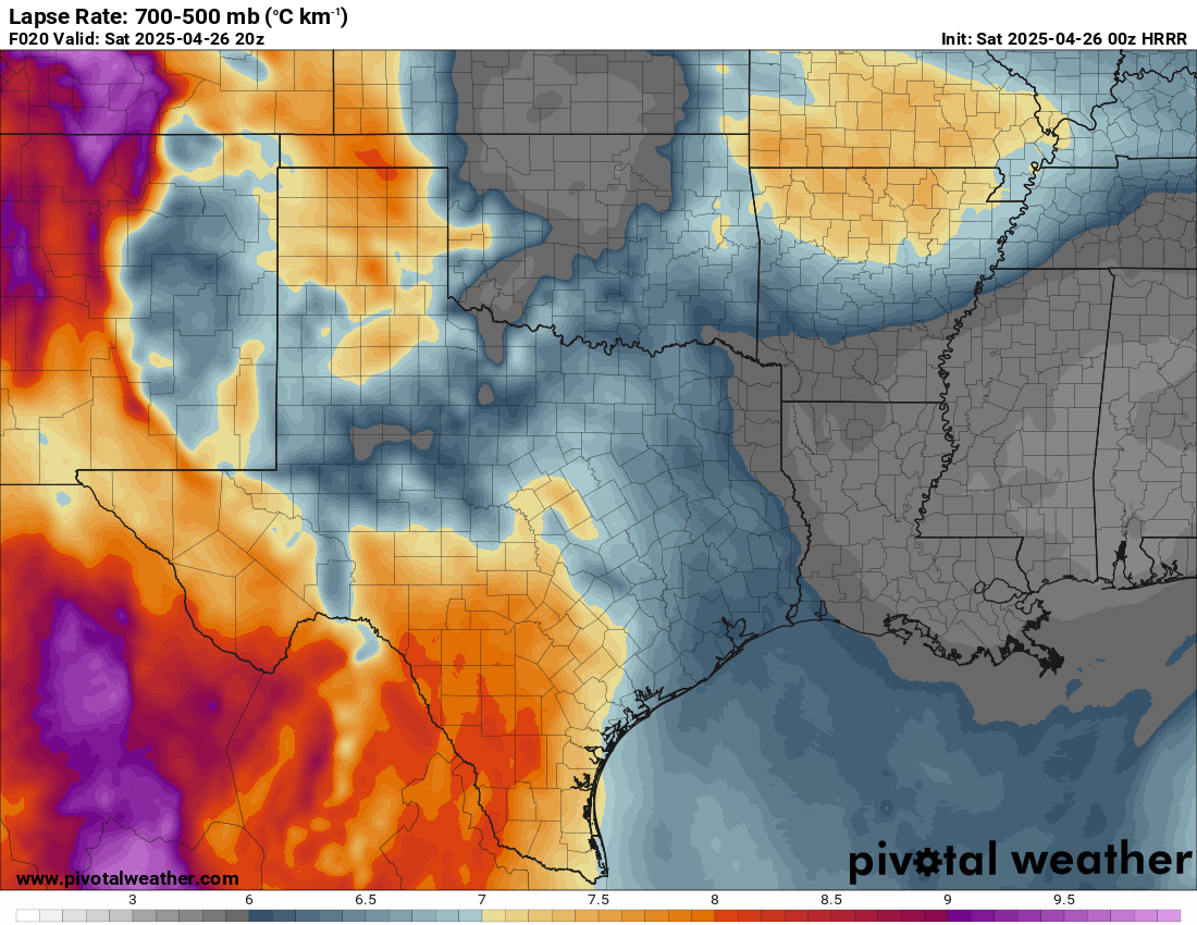
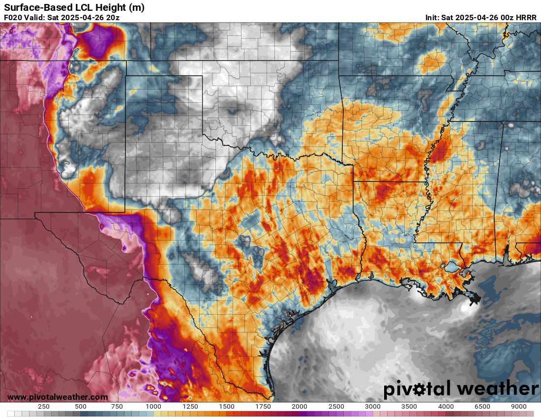
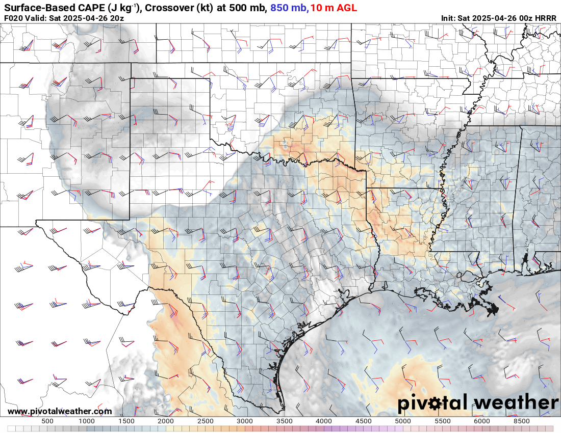
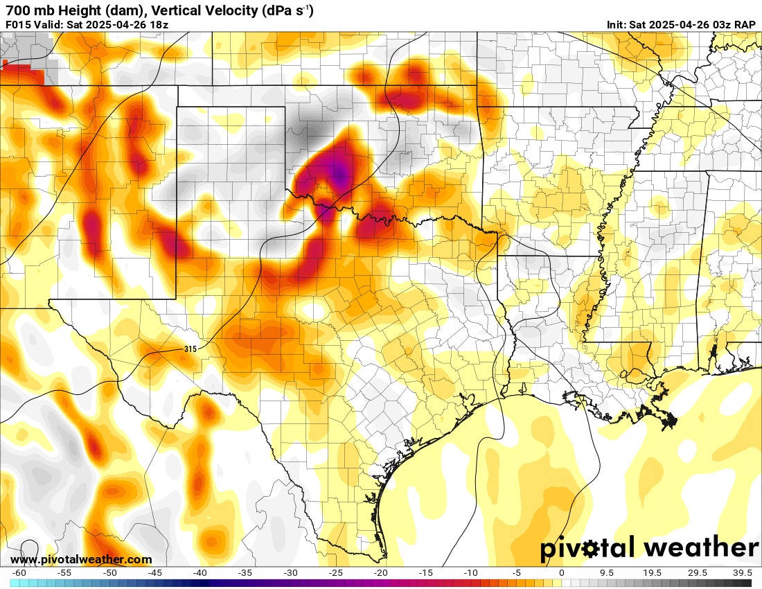
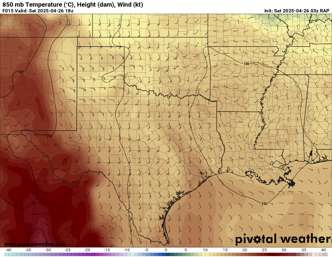
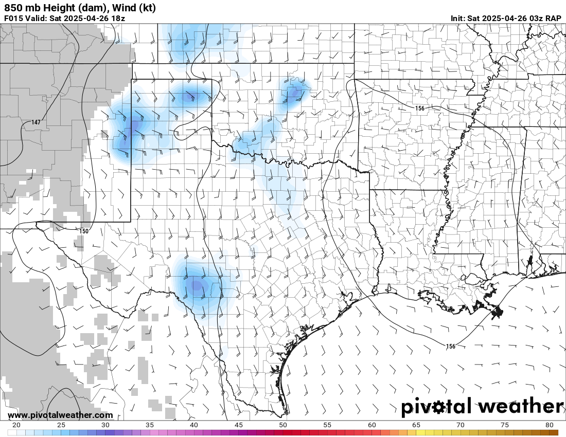
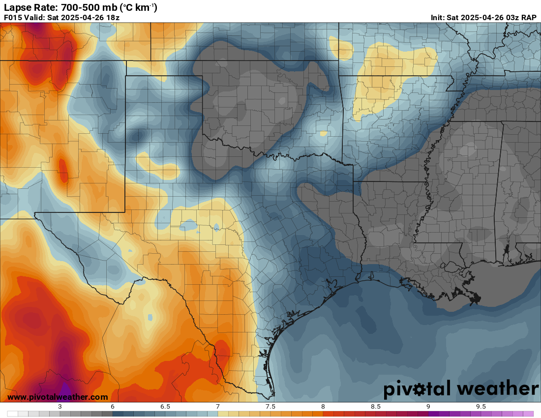
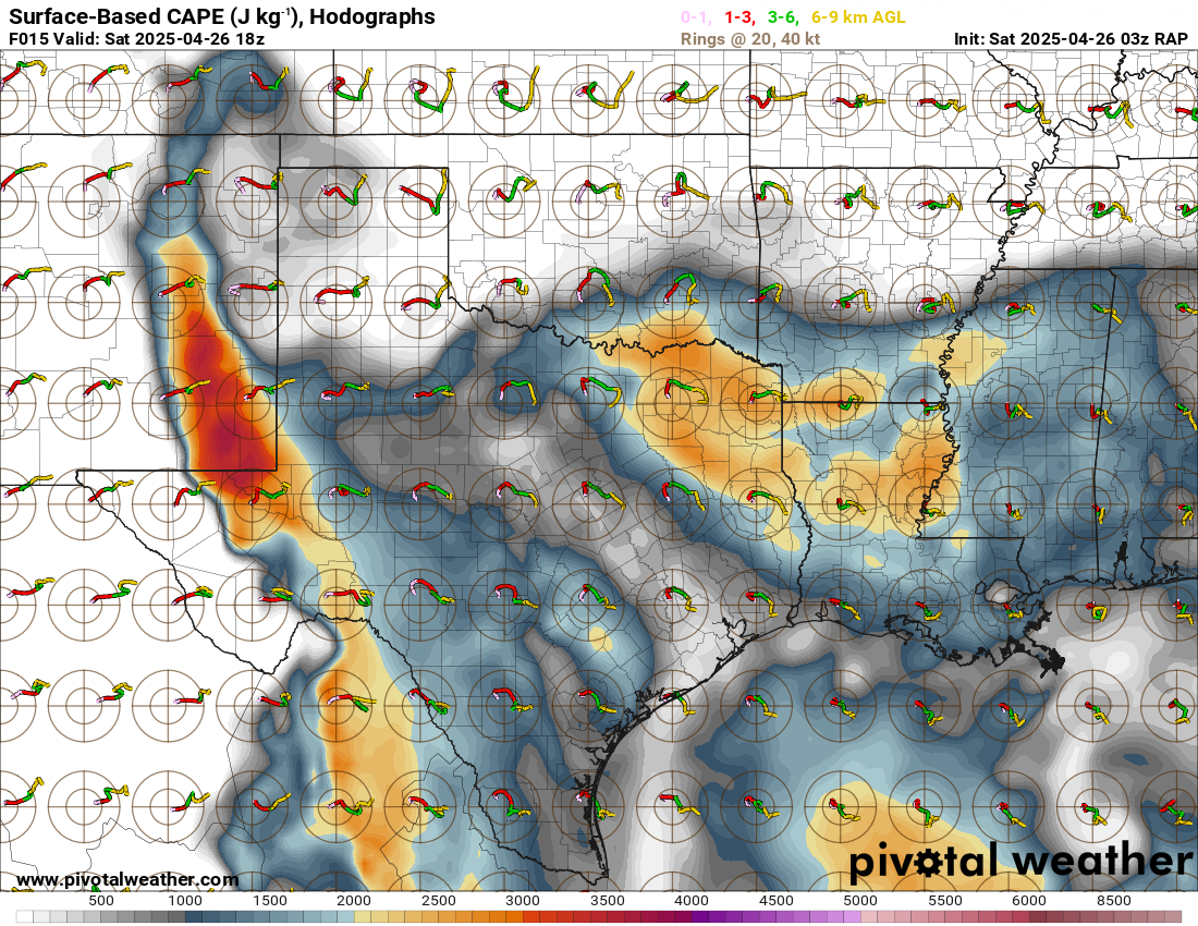
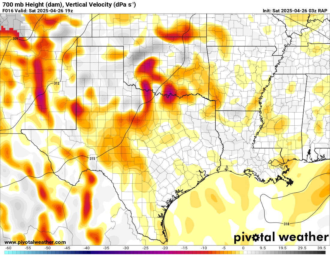
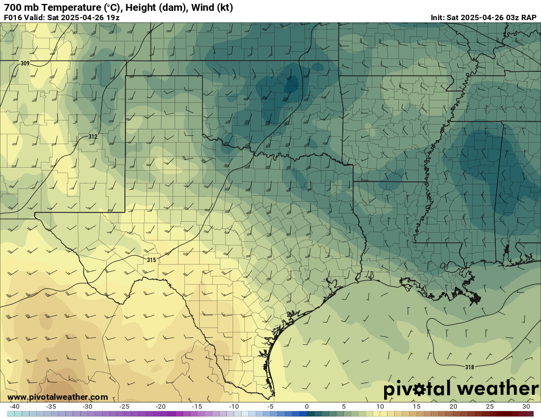
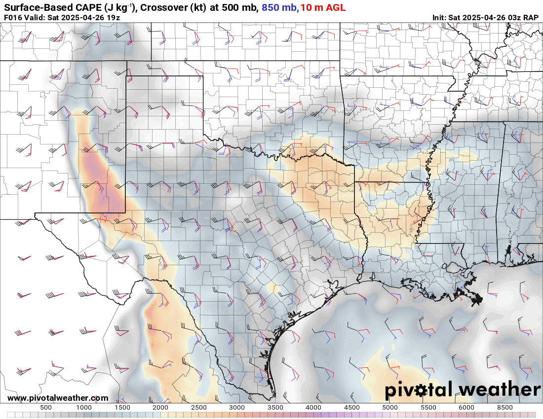
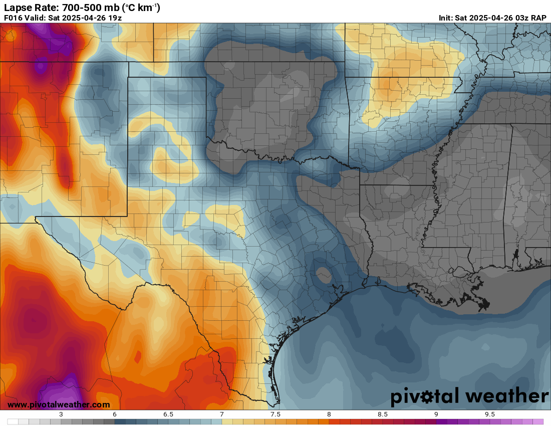
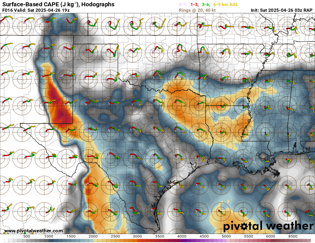
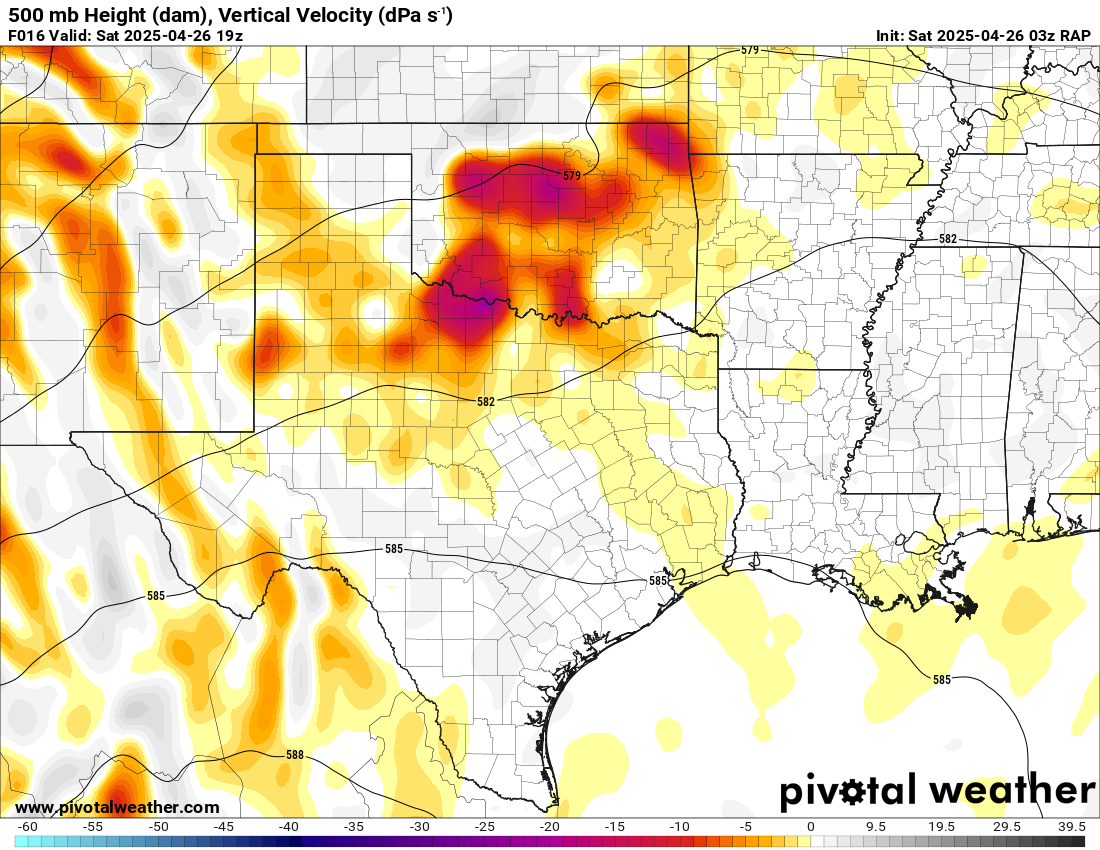
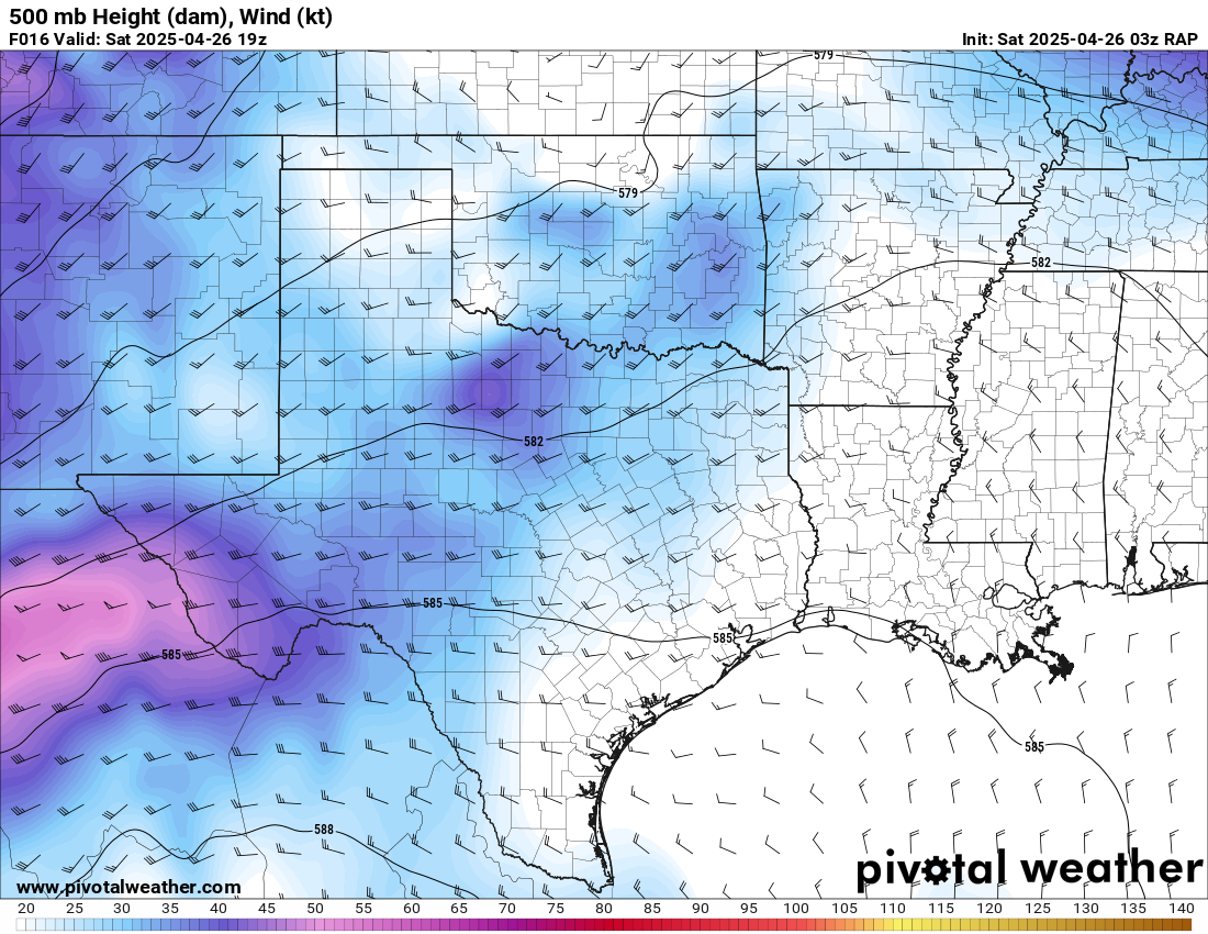
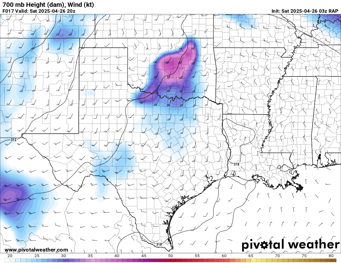
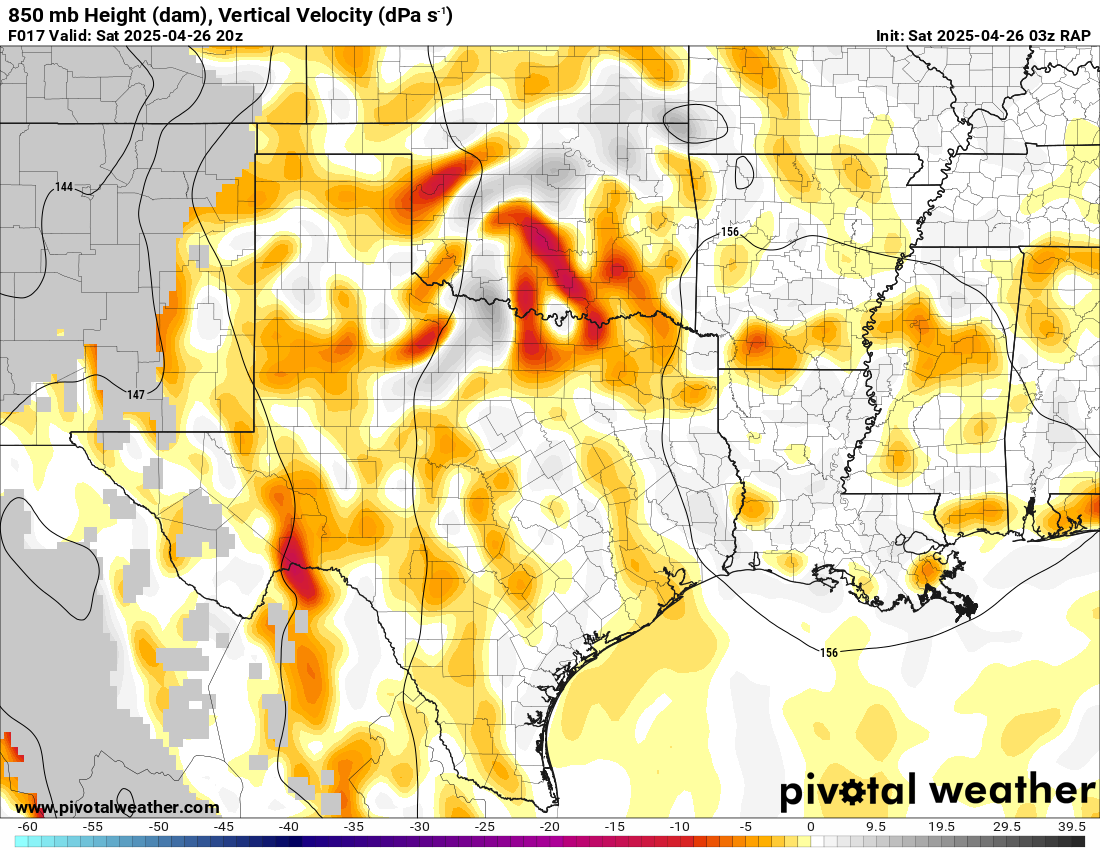
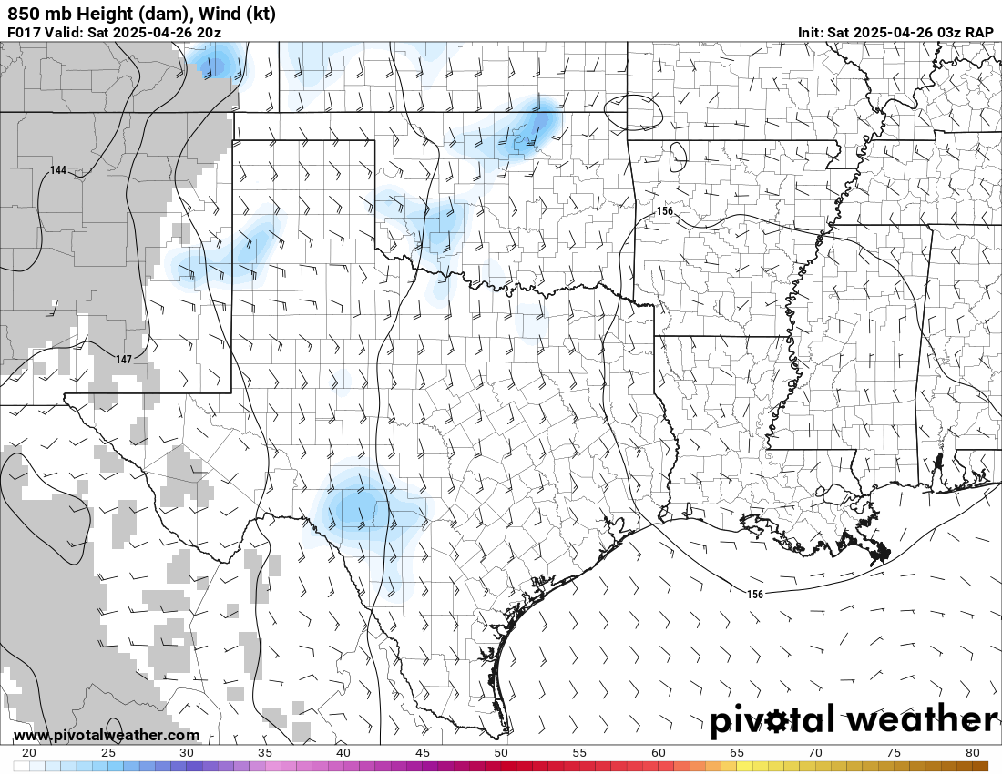
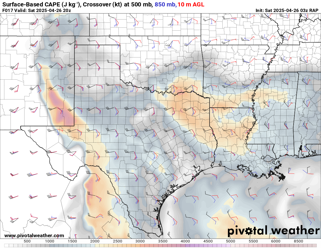
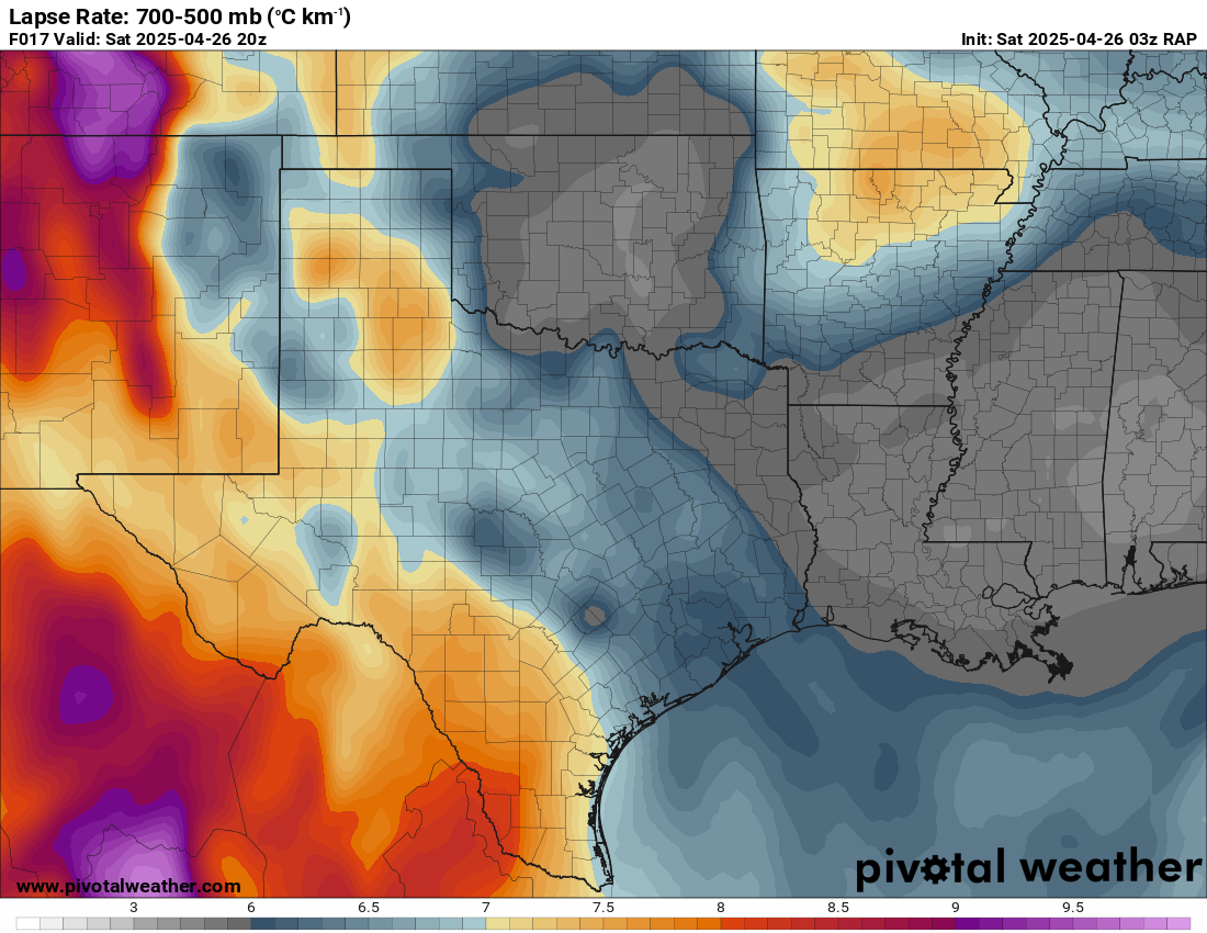
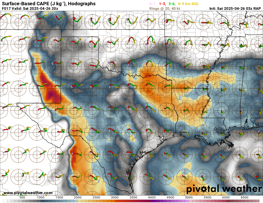
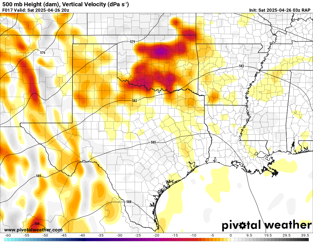
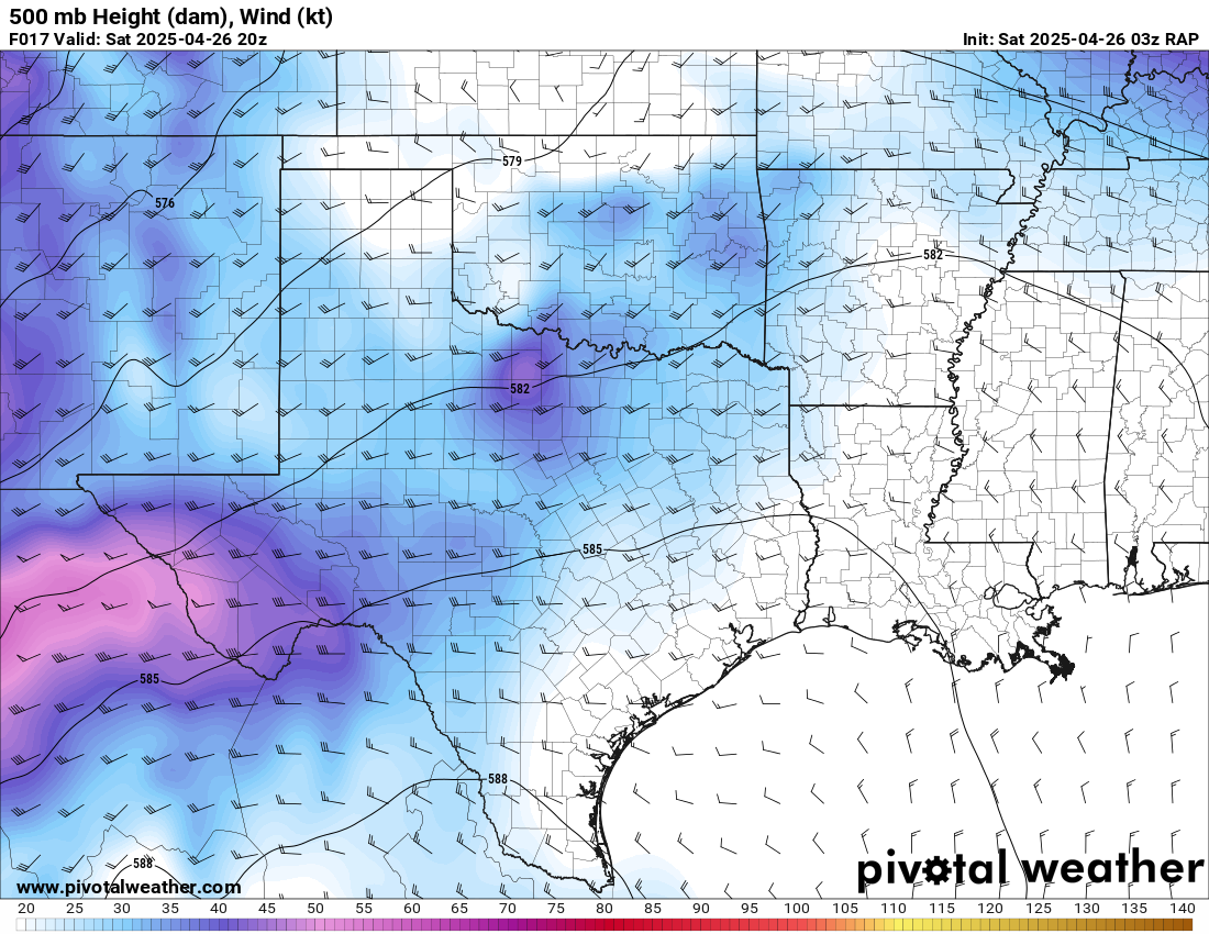
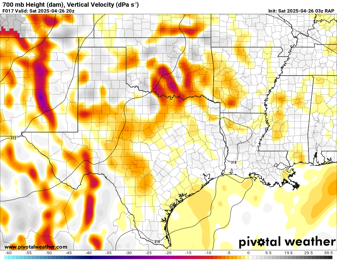
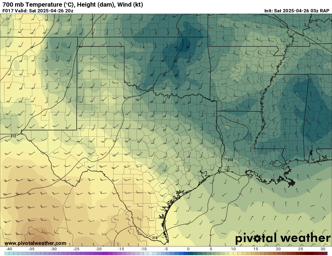
HRRR
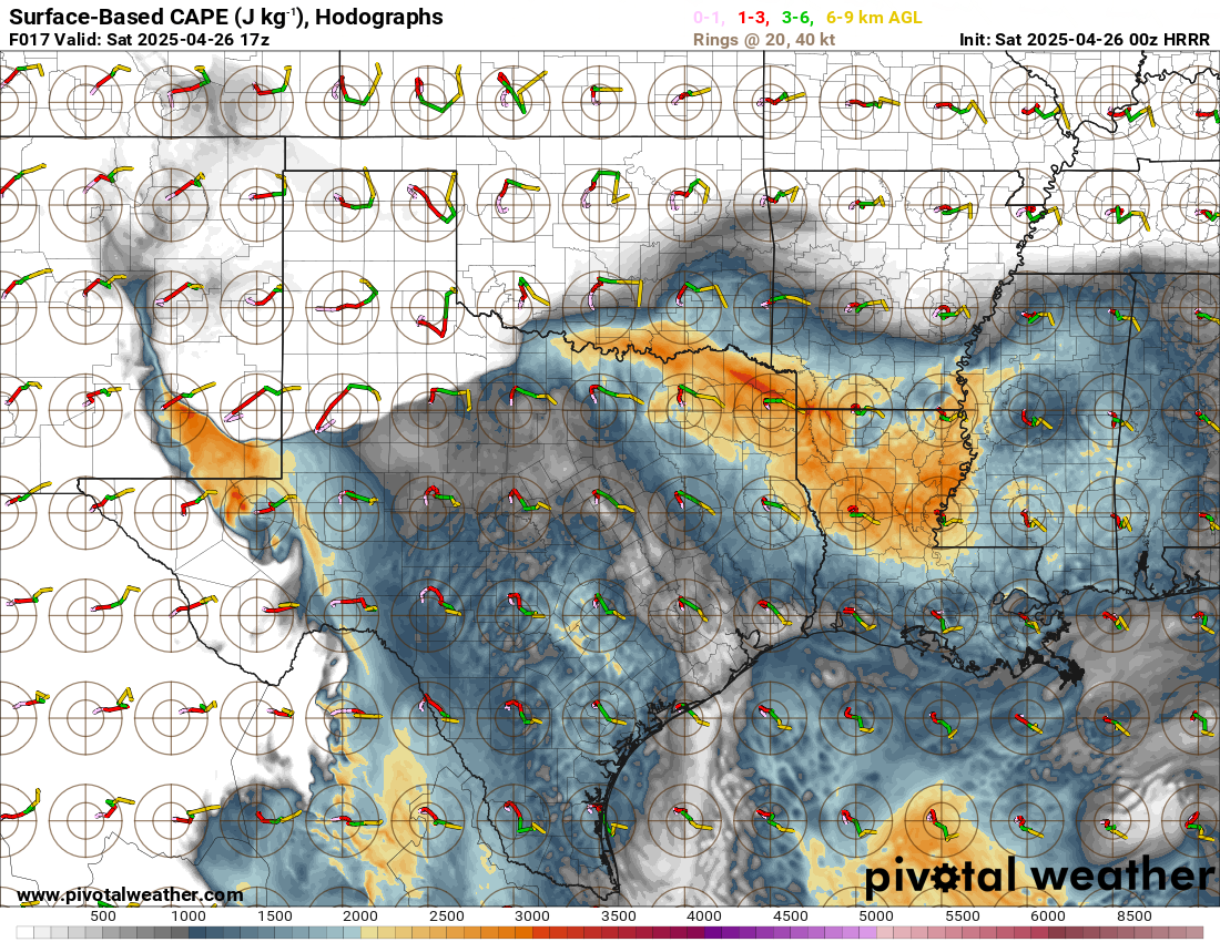
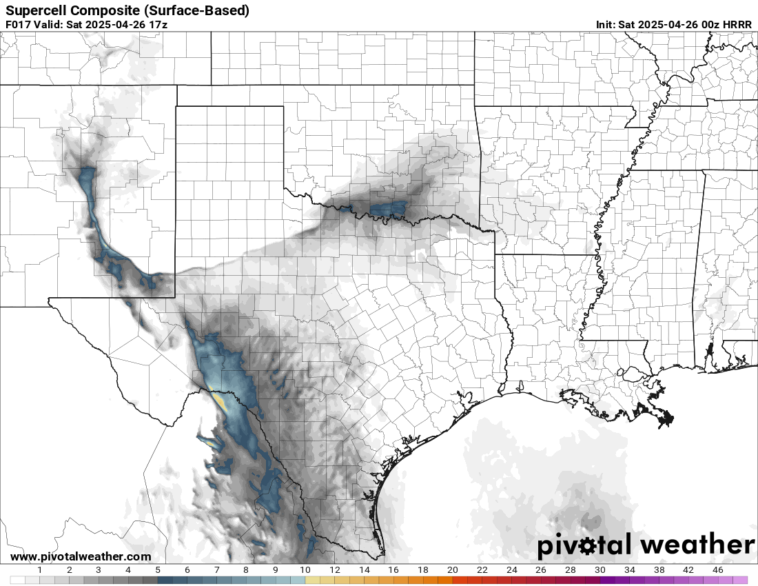
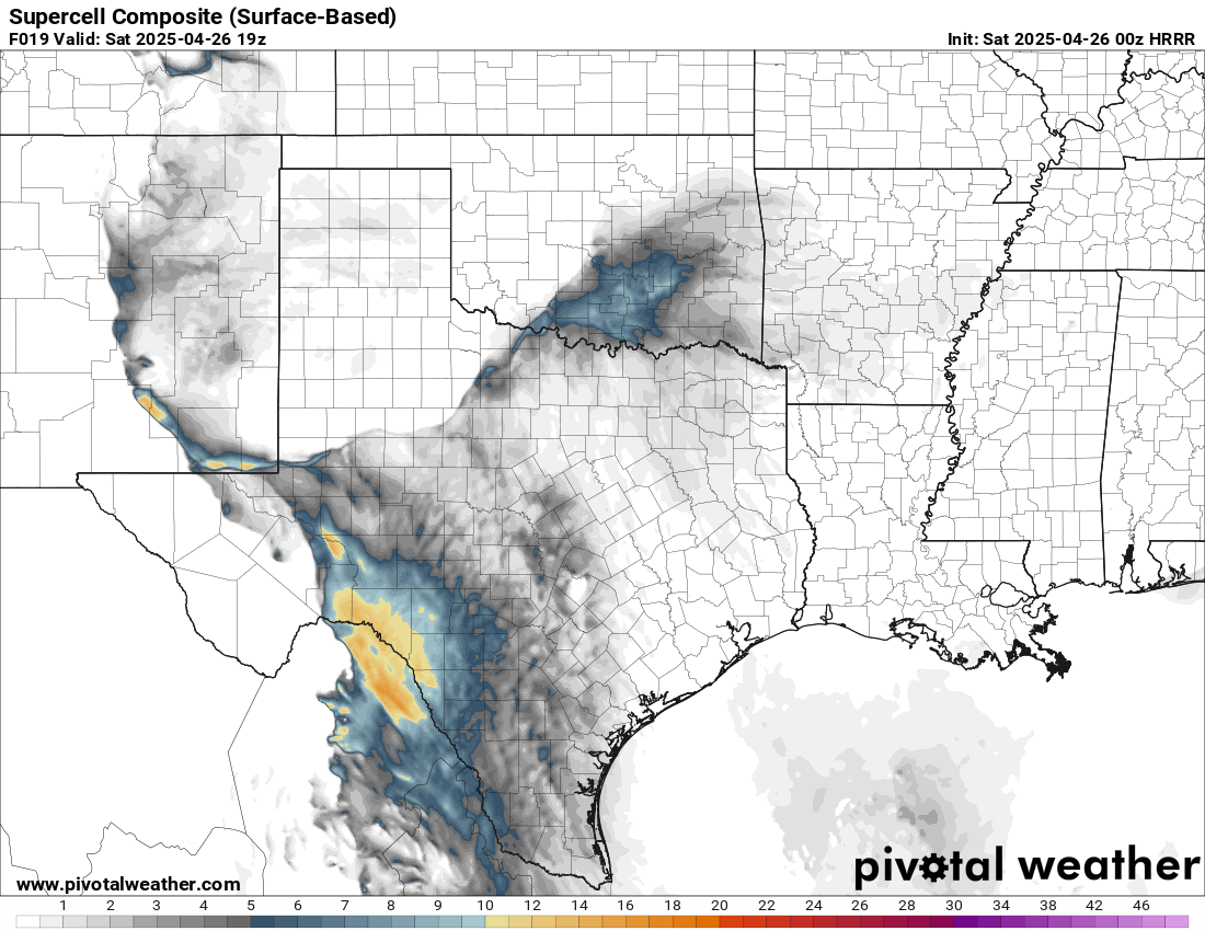
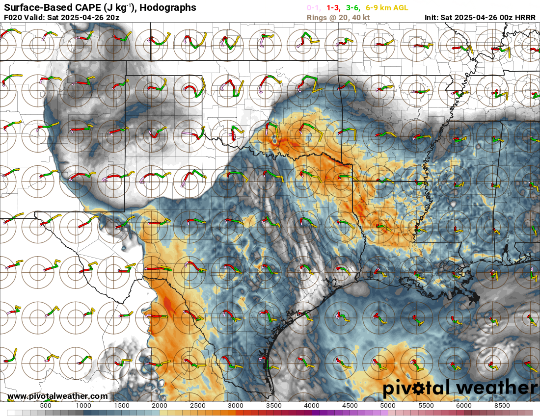
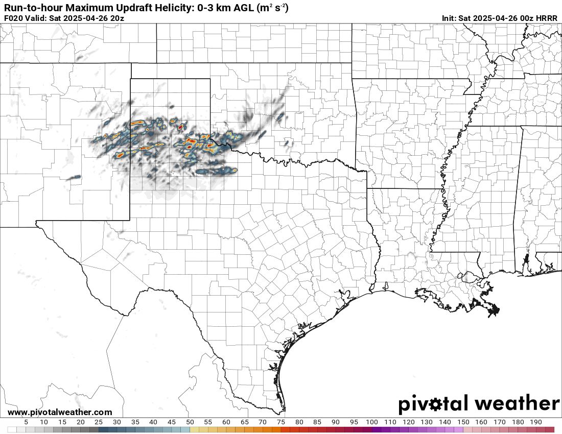
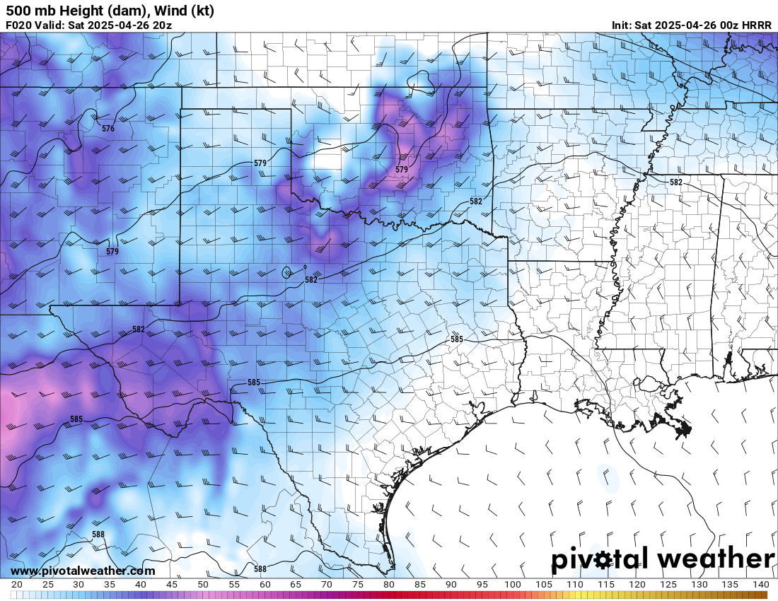
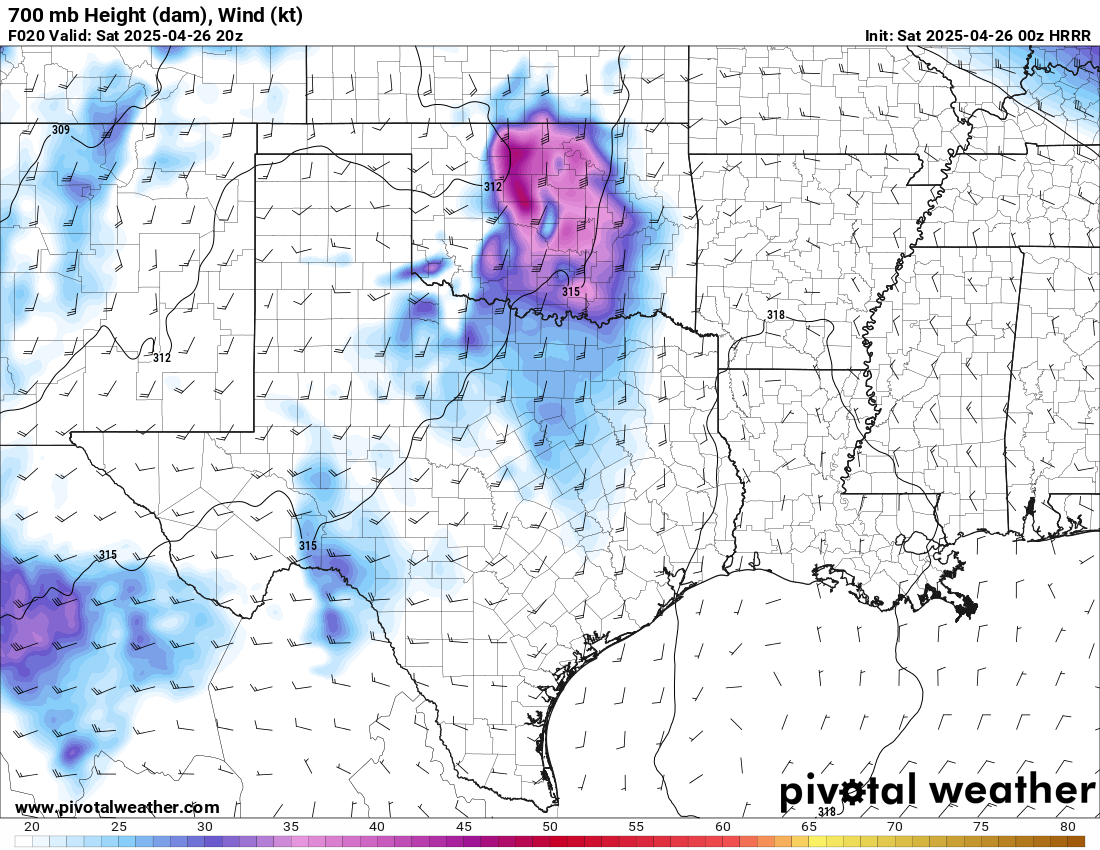
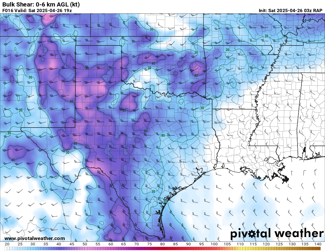
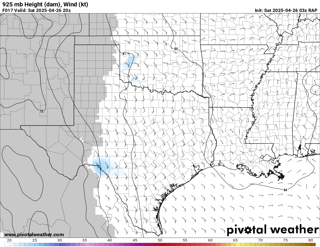
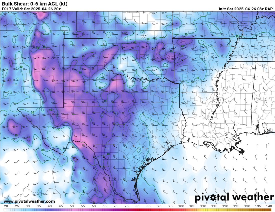
What we noticed on the HRRR was a wave at 700mb with optimal timing. Storms would end up happening a bit further south, but i believe that wave aided in convective initiation. The morning storms managed to stabilize the air near and south of OKC Metro, so setting up a bit further south than predicted was beneficial.
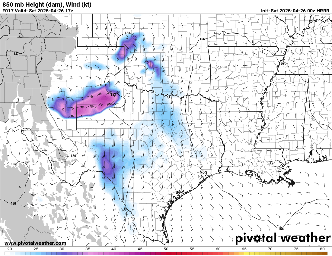
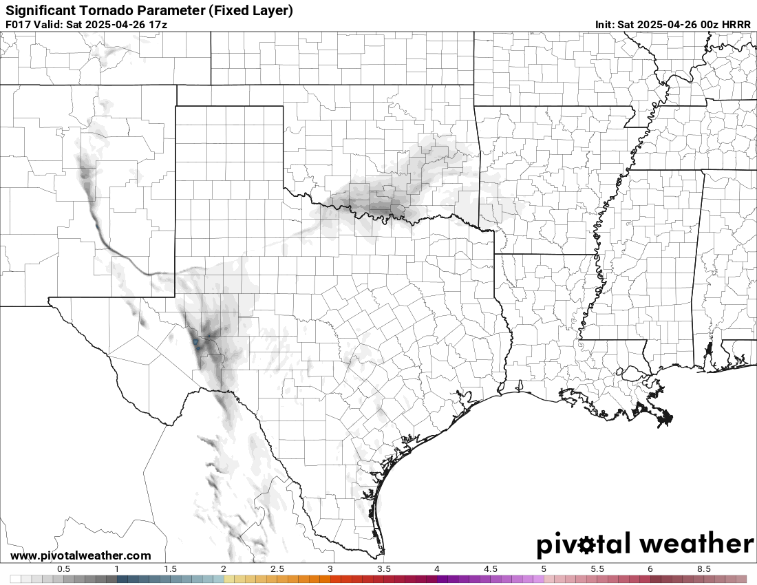
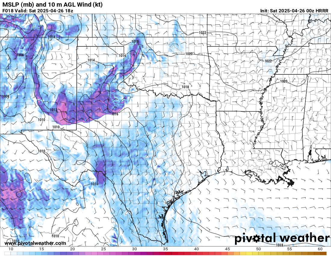
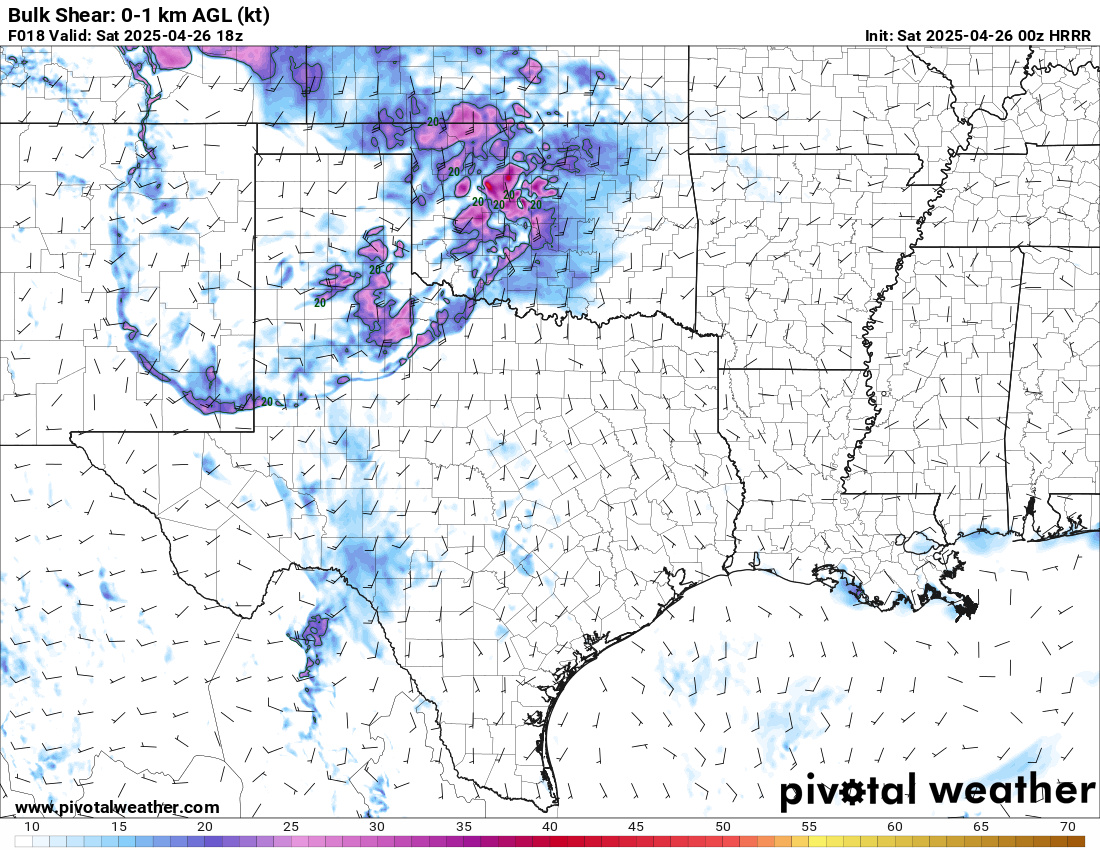
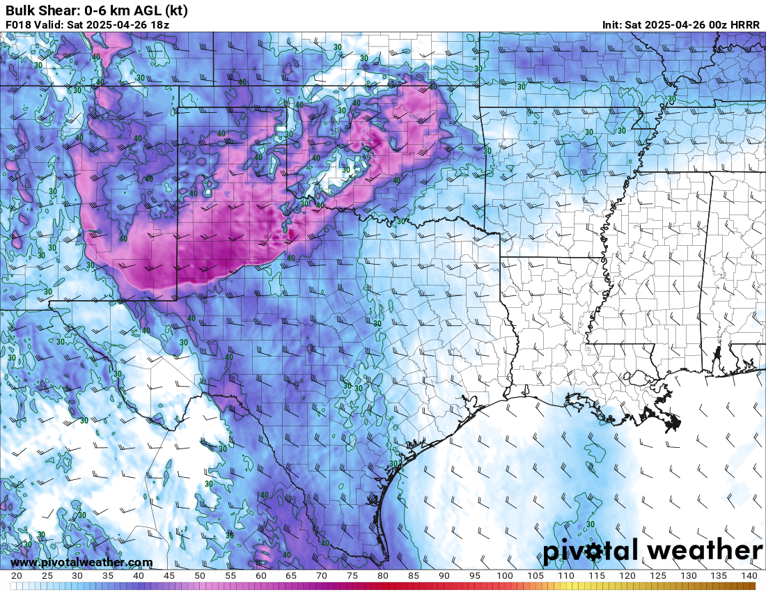
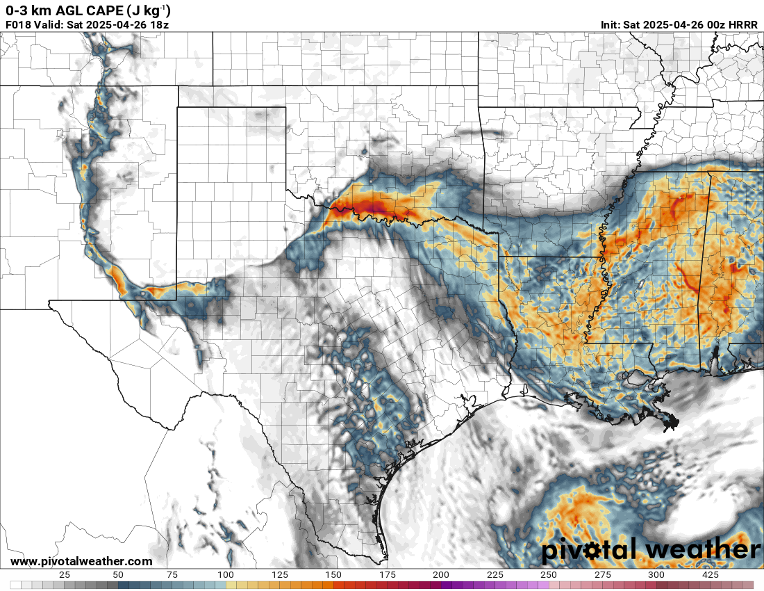
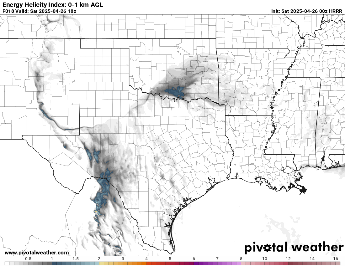
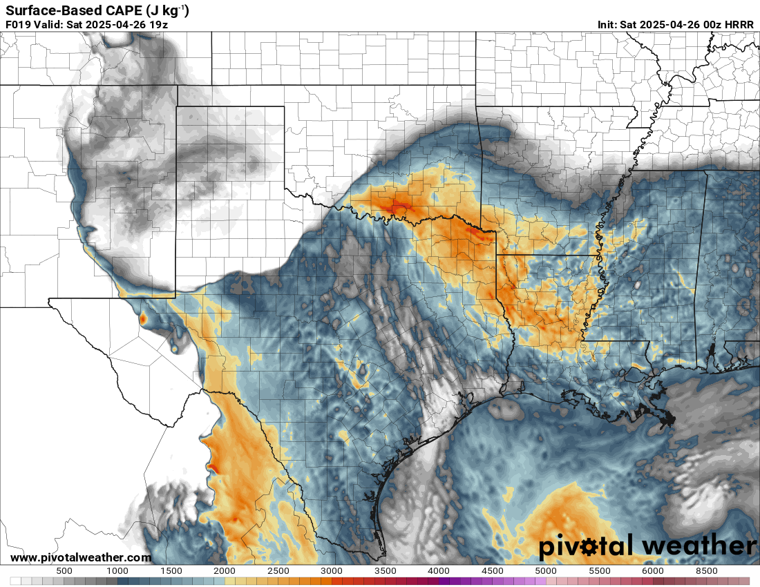
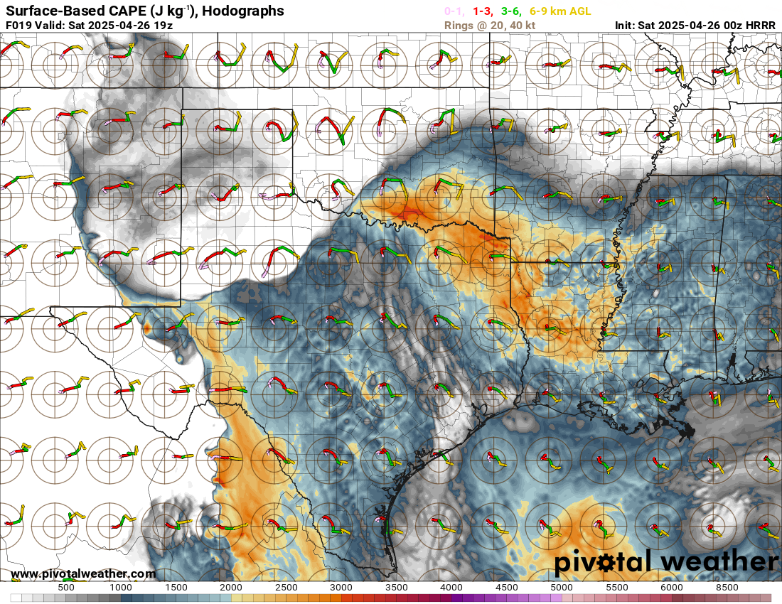
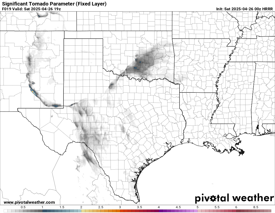
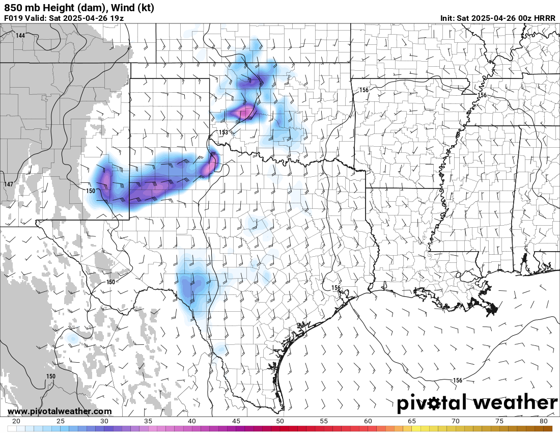
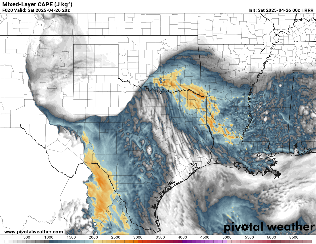

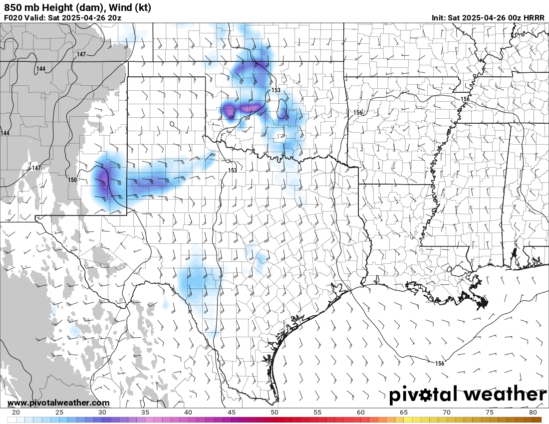
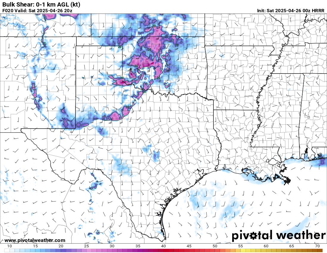
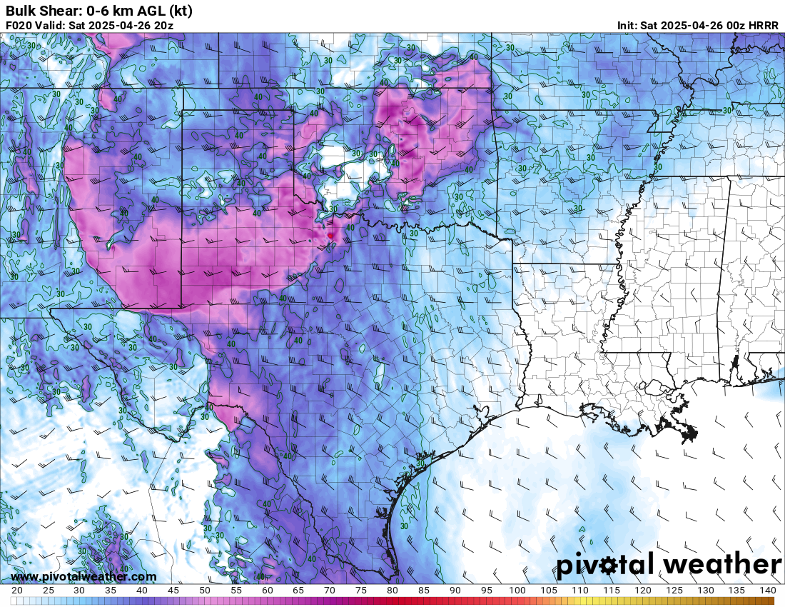
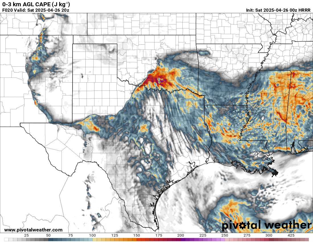
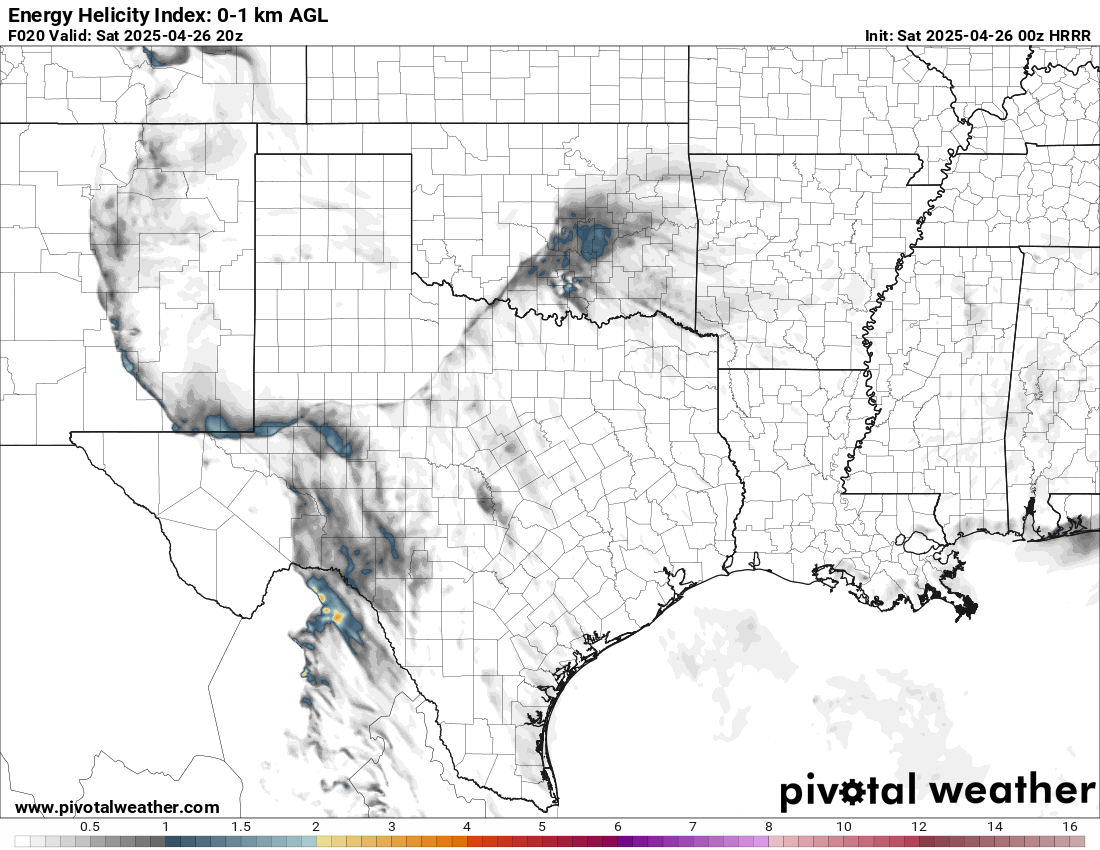
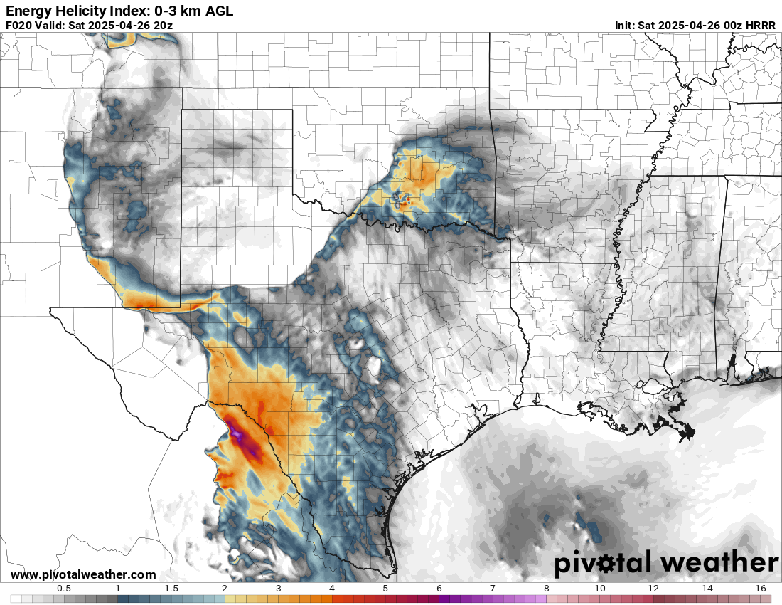
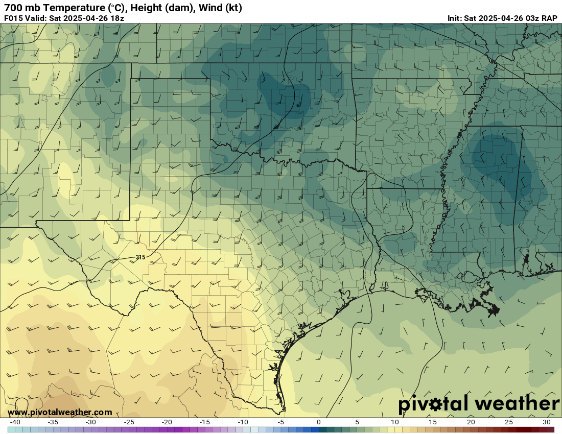
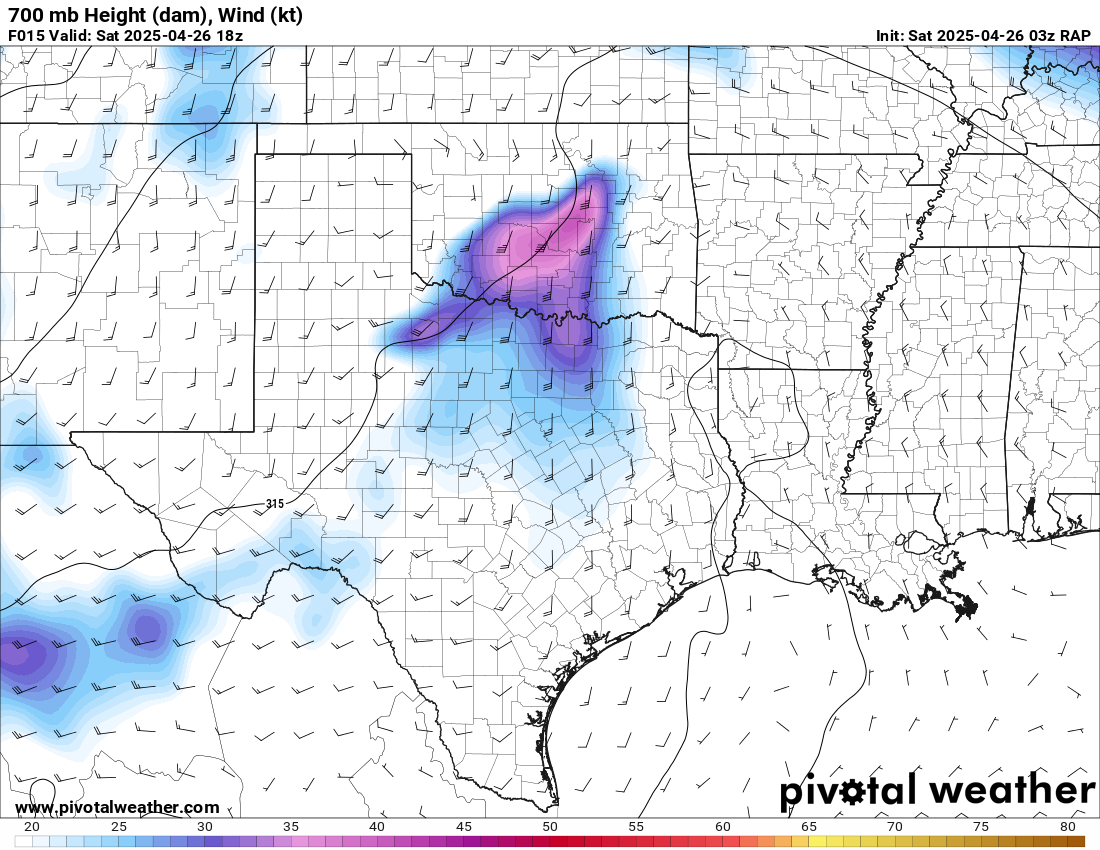
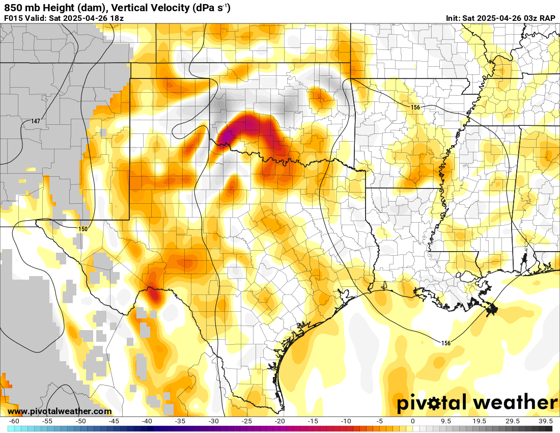
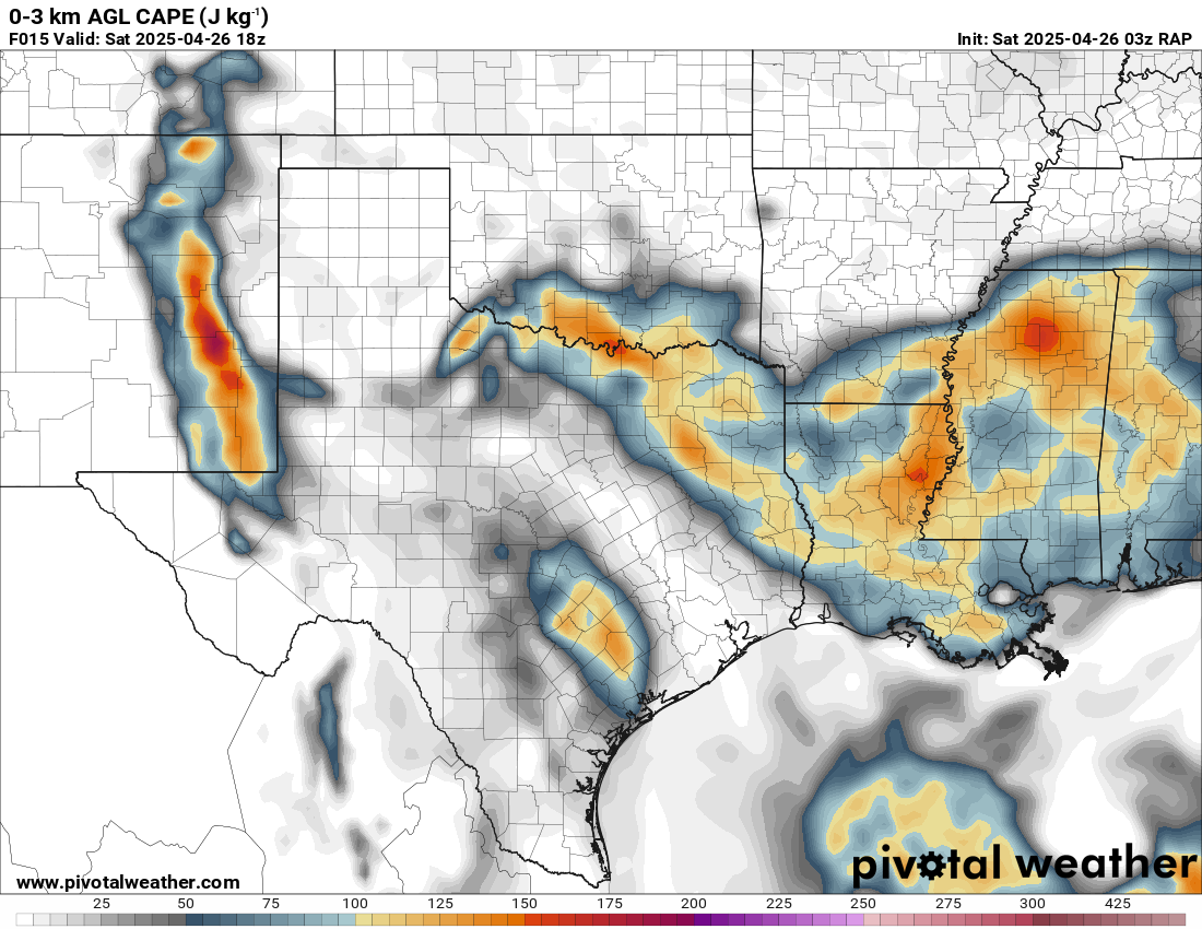
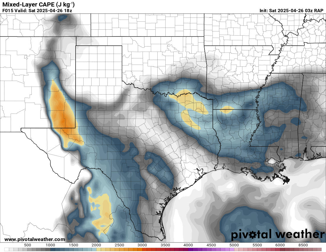
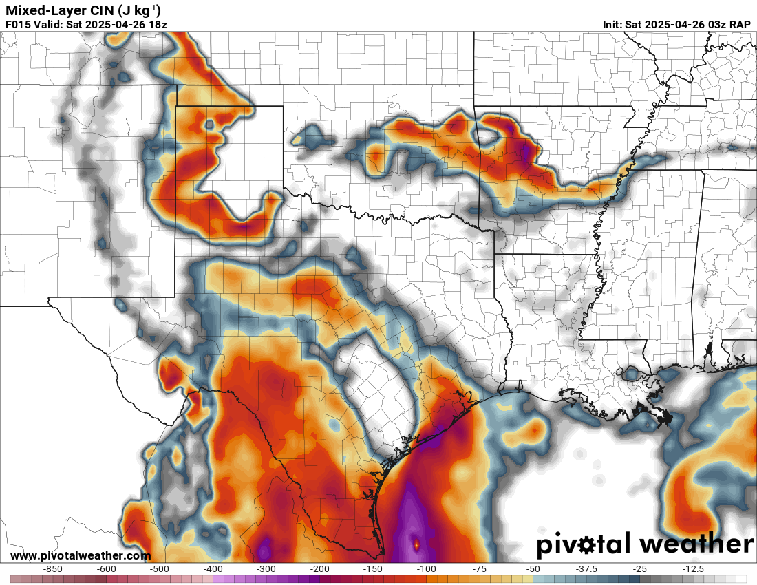
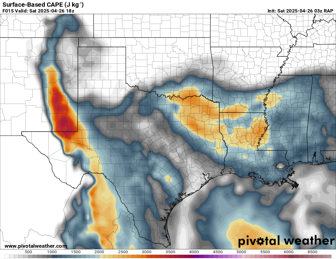
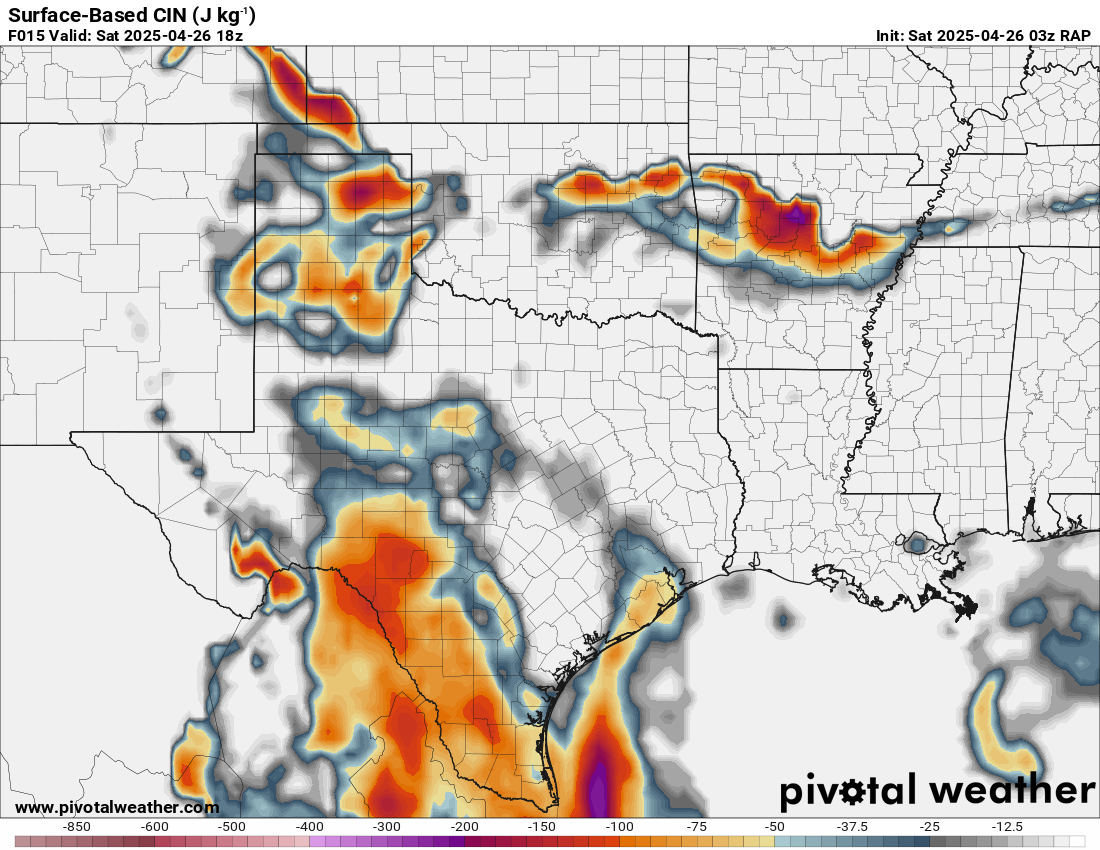
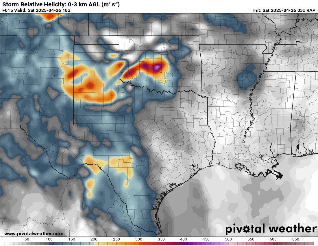
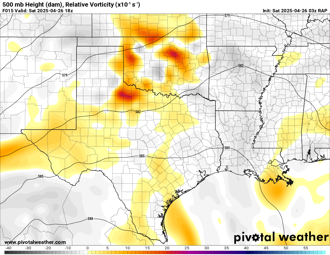
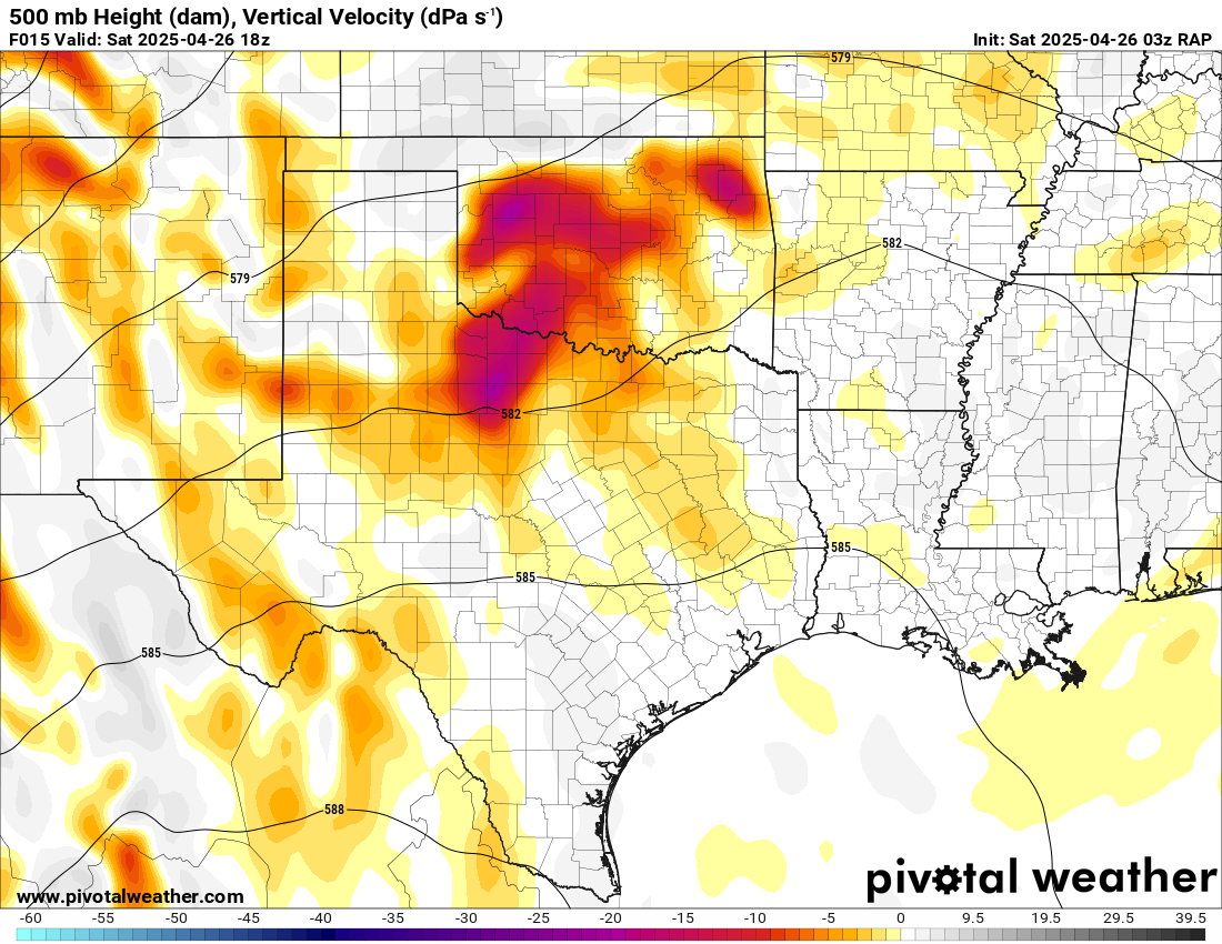
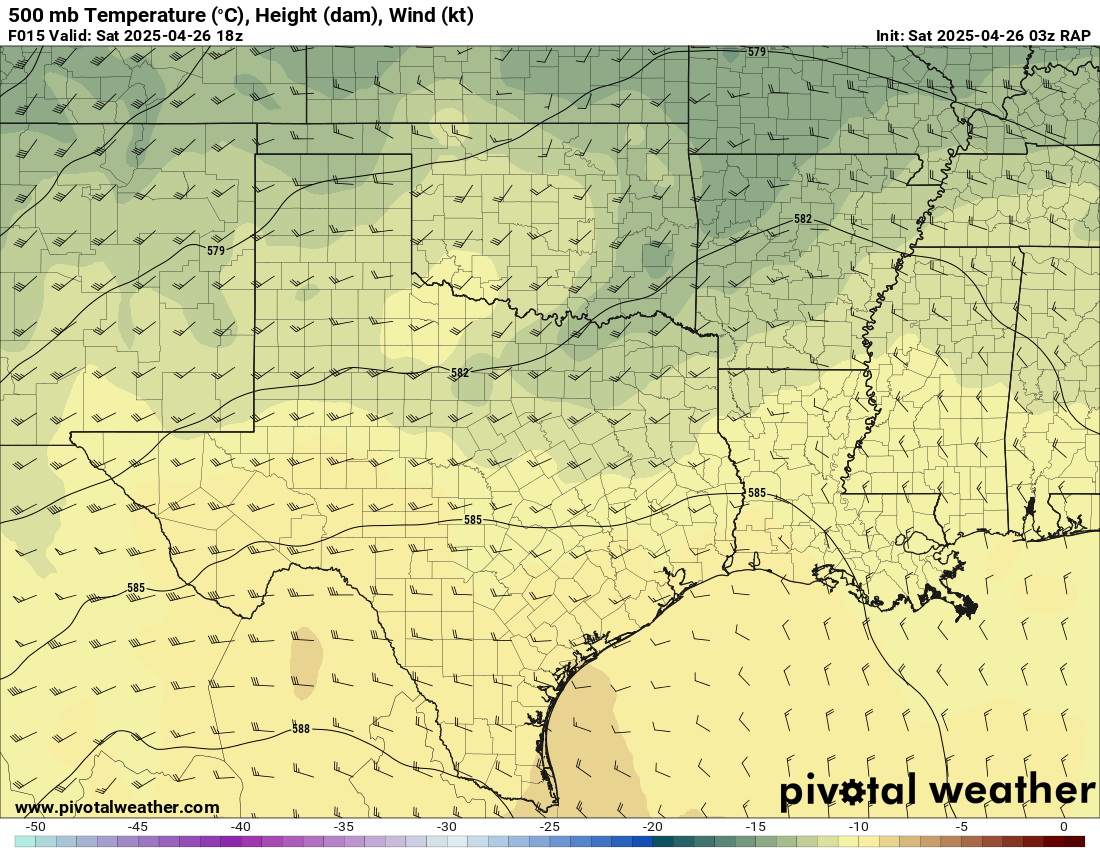
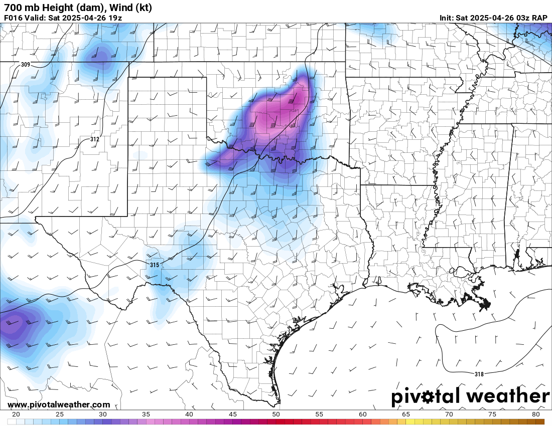
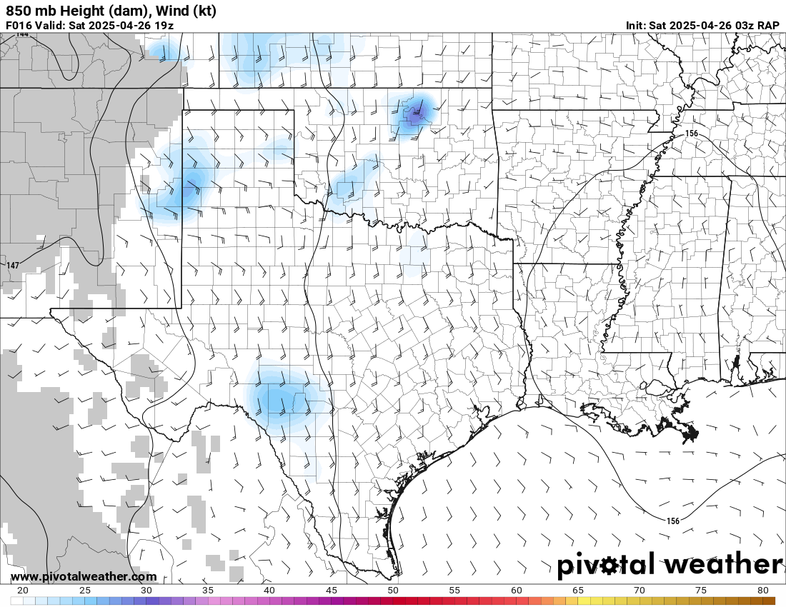
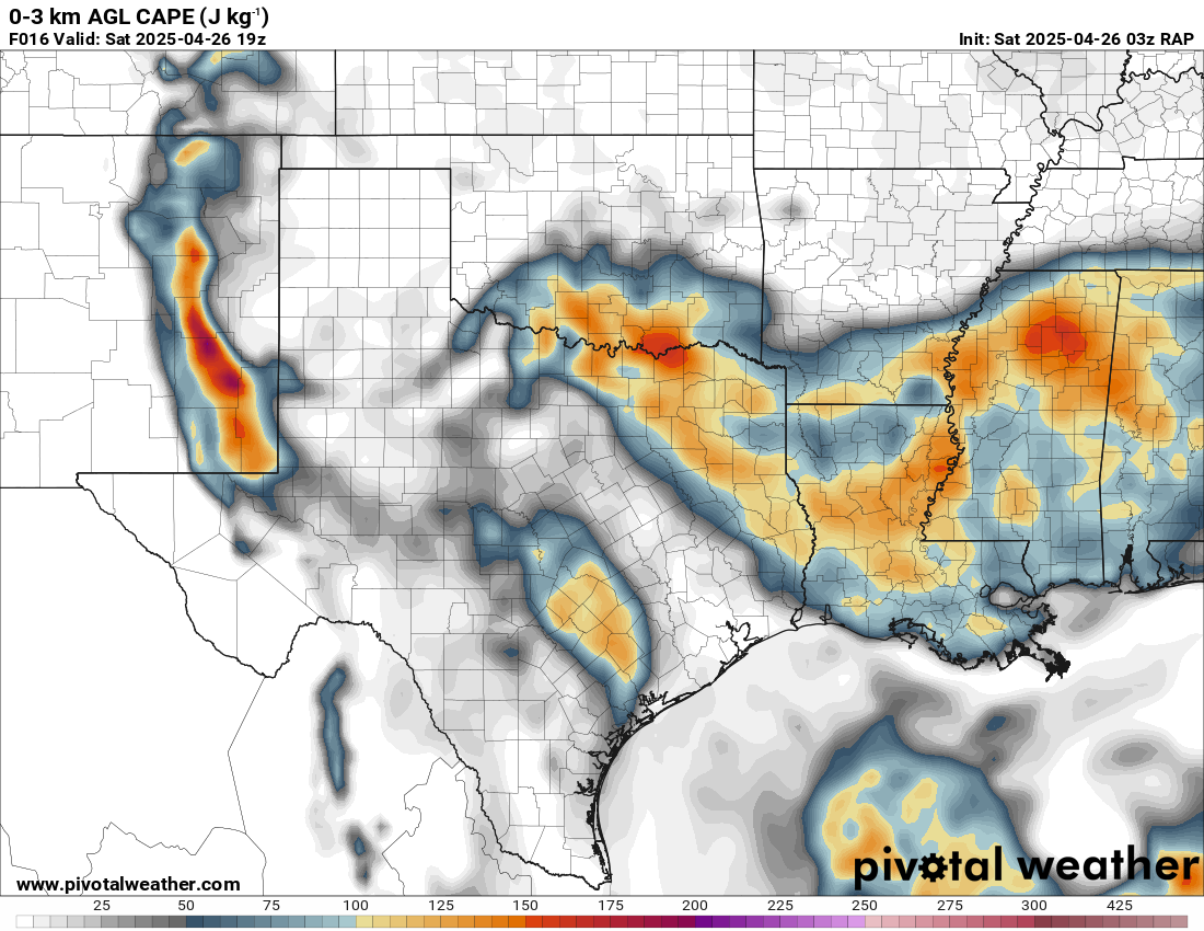
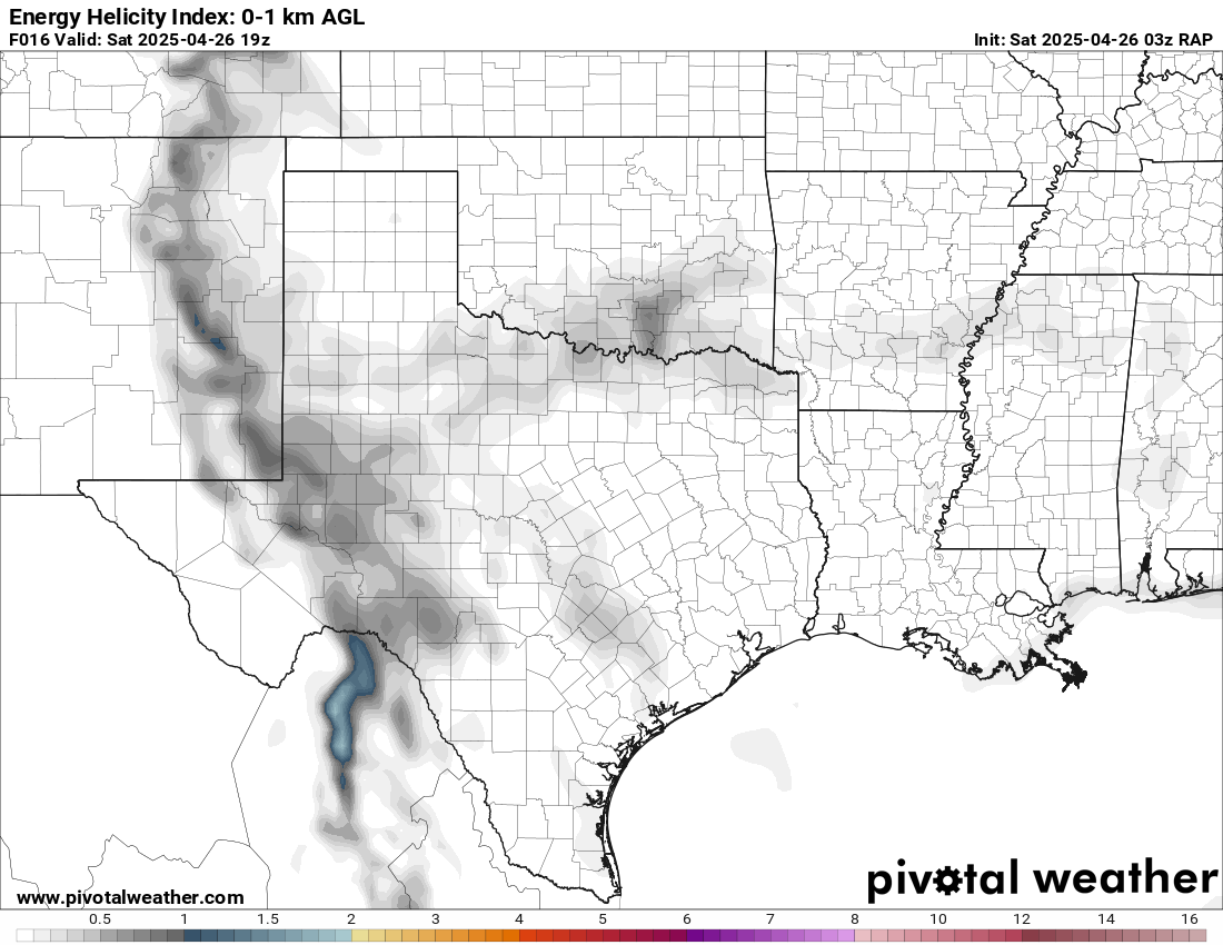
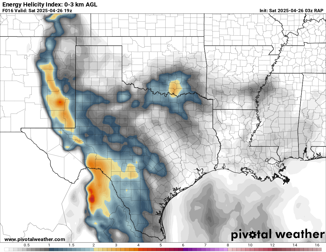
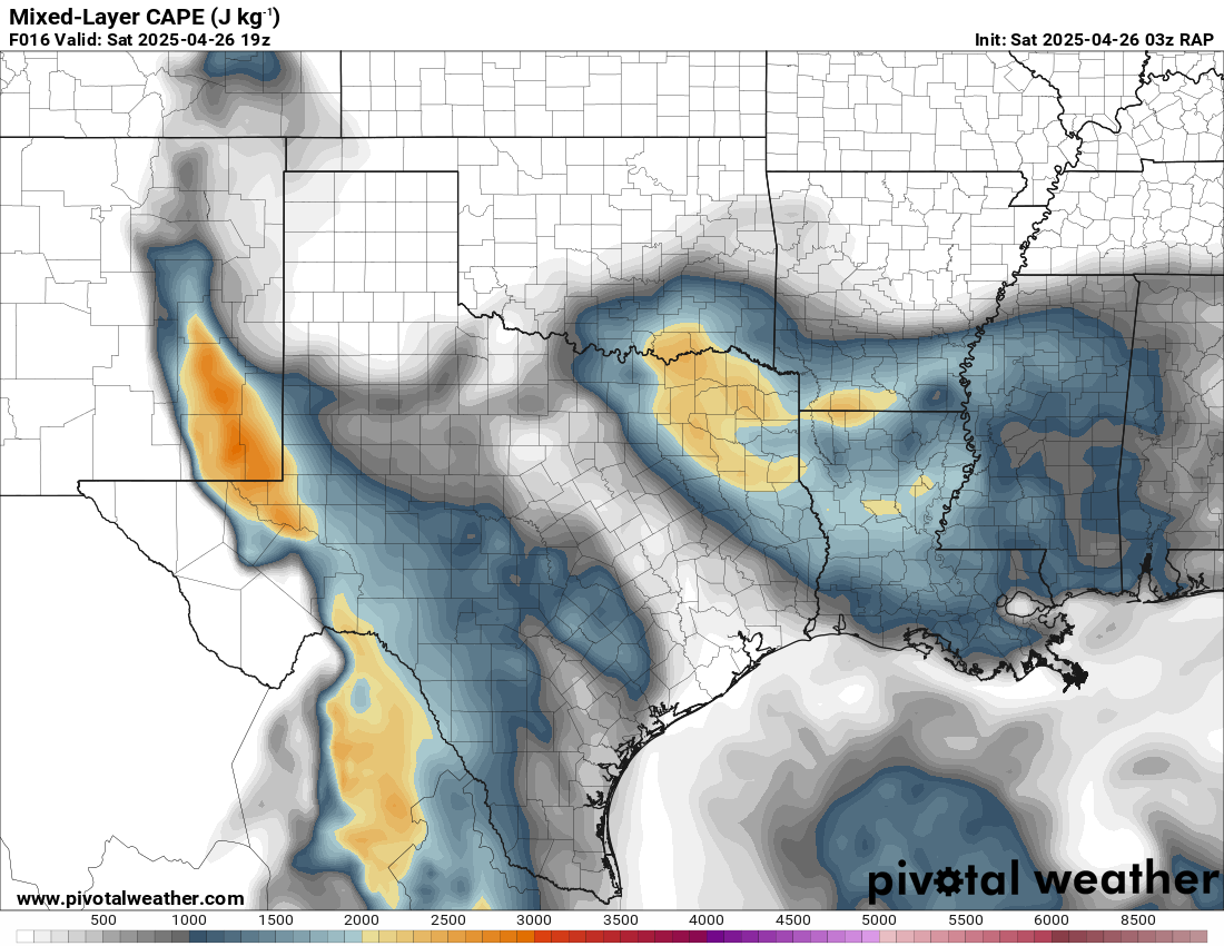
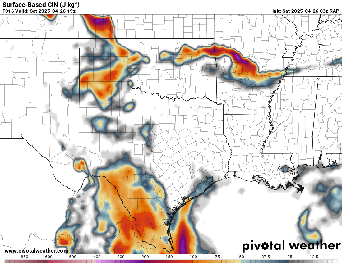
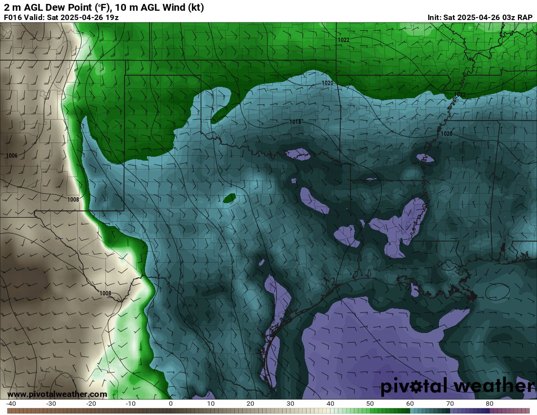
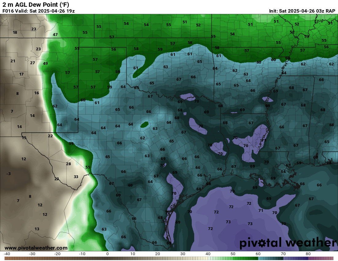
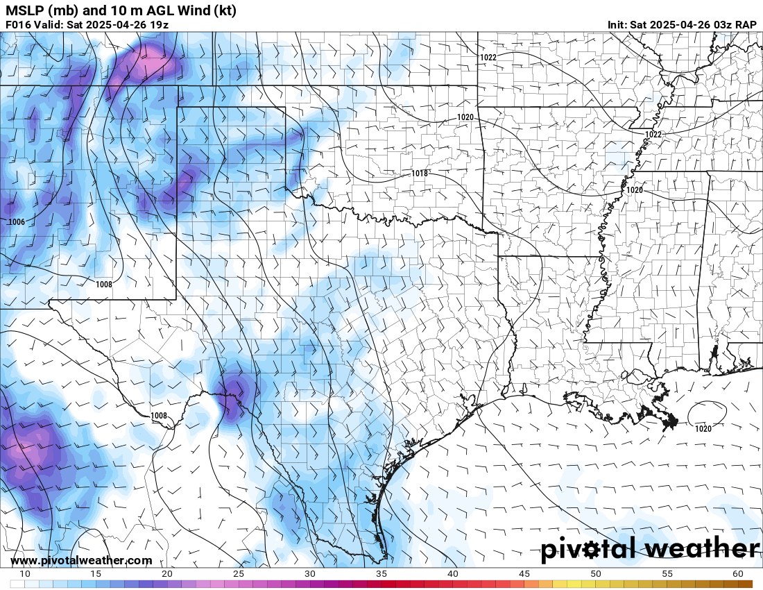
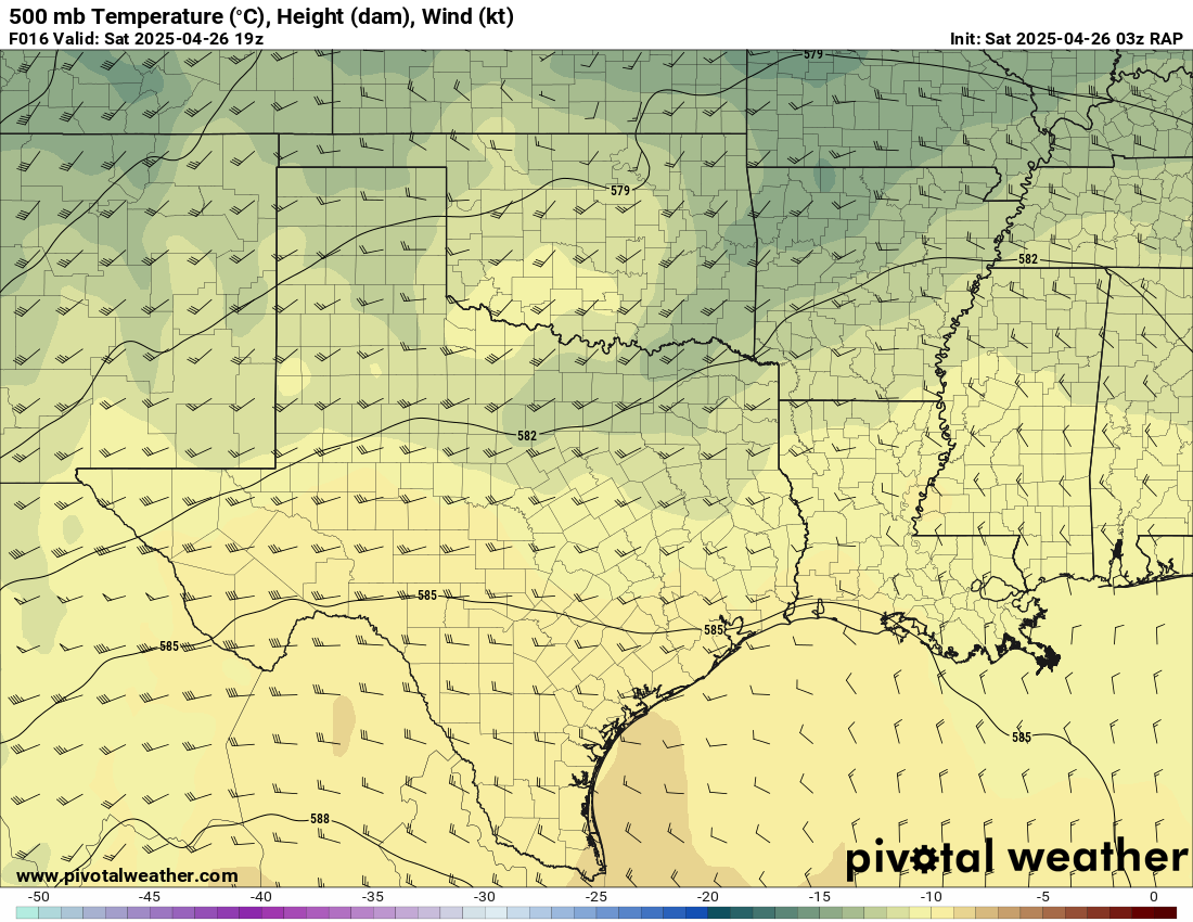
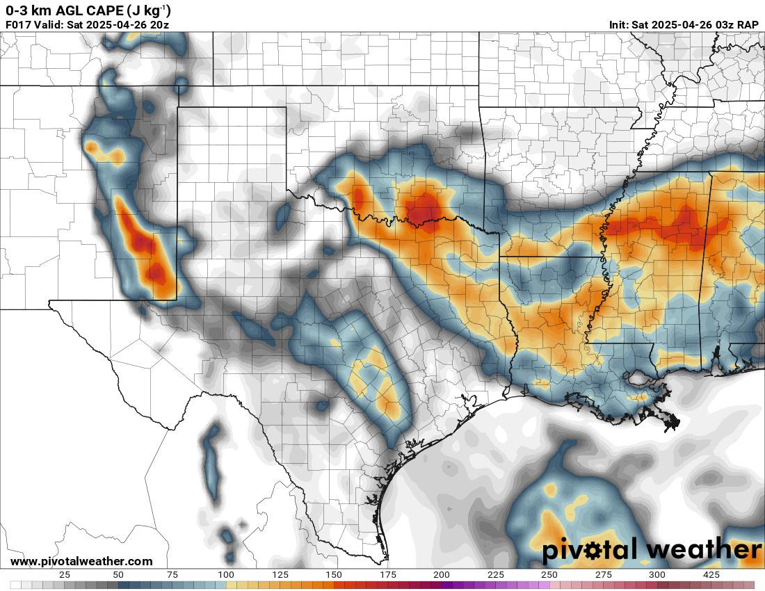
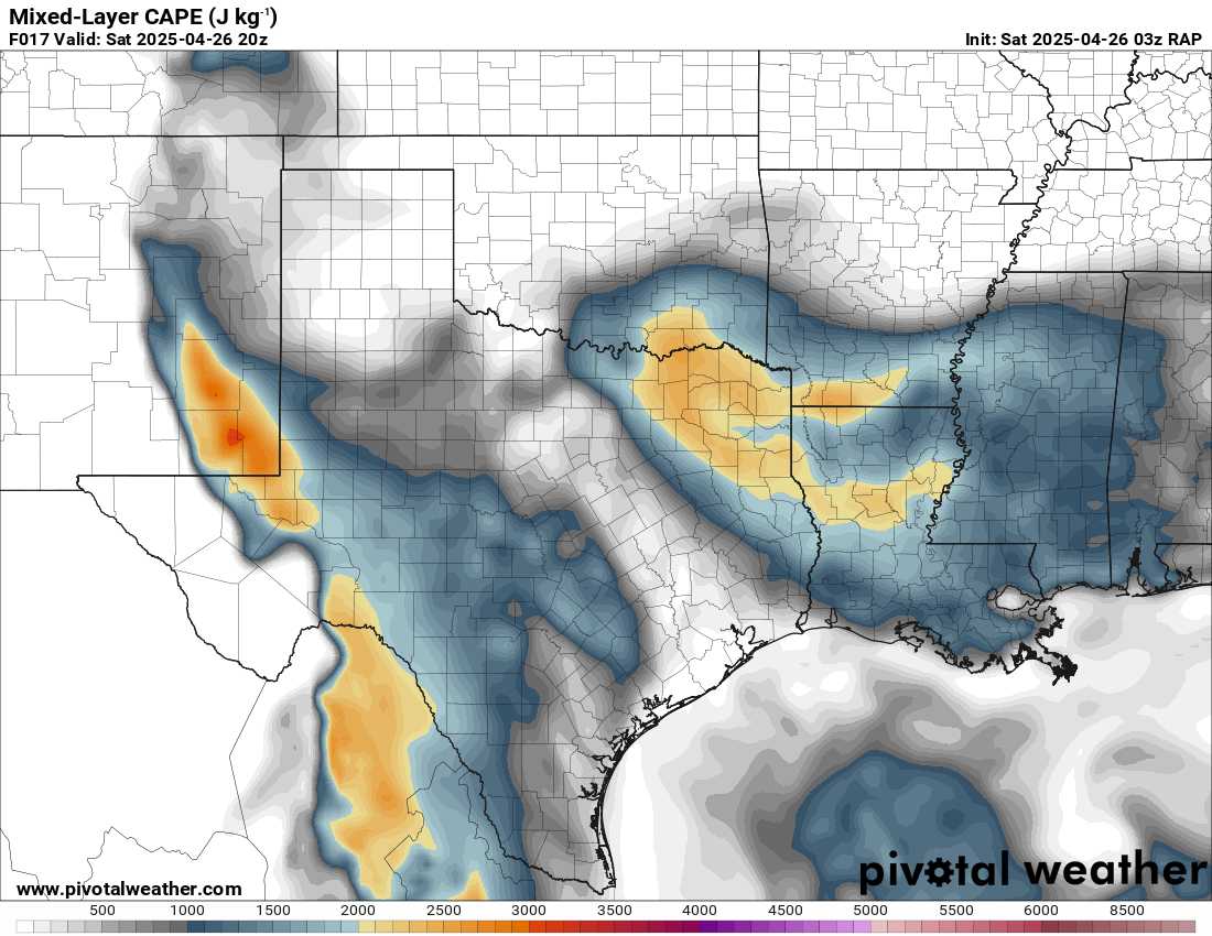
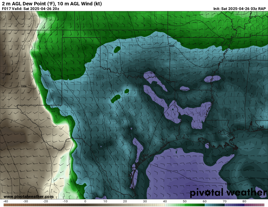
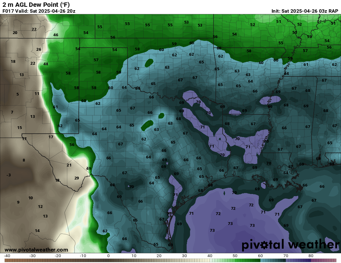
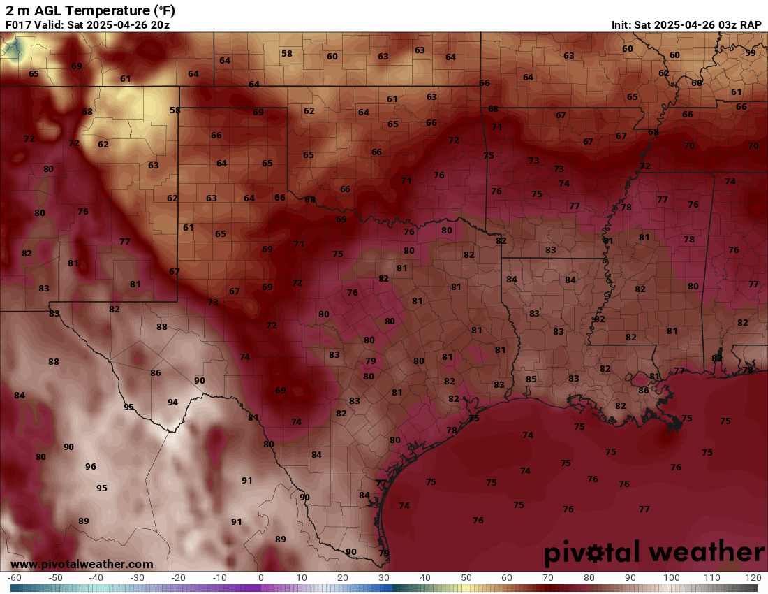
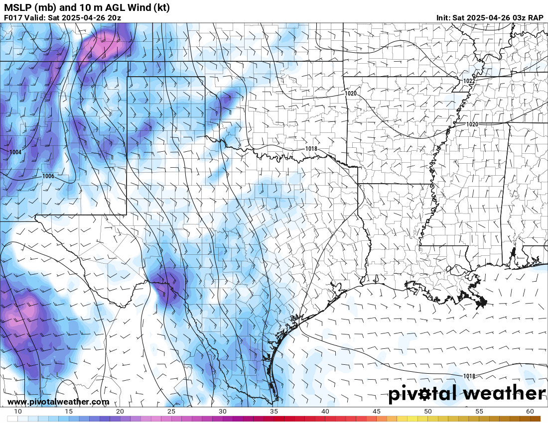
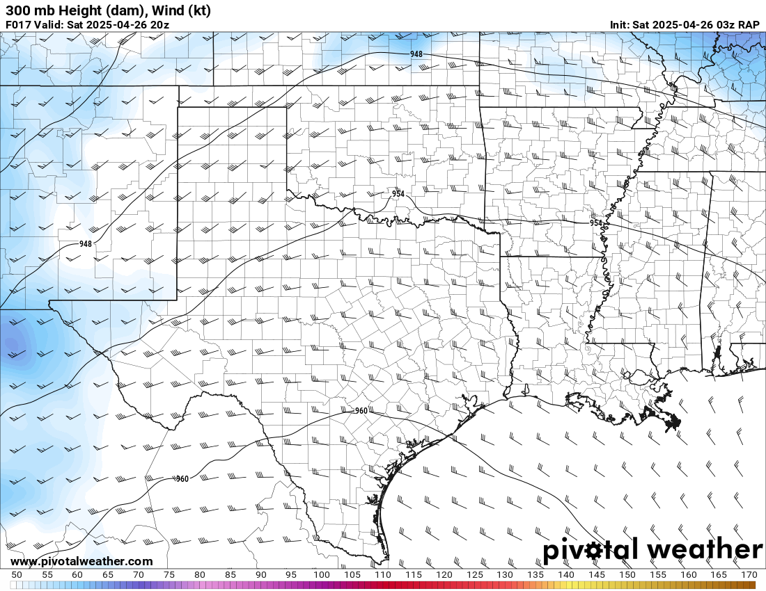
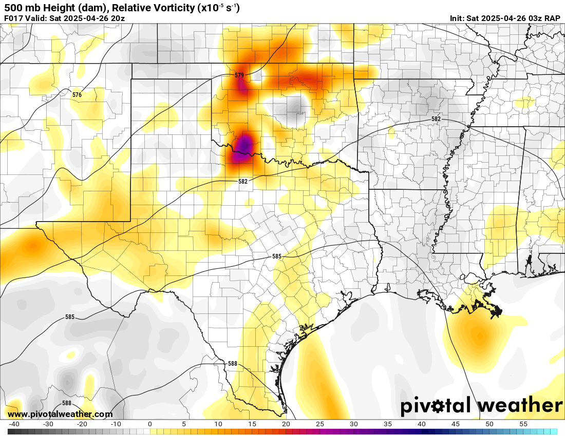
RAP
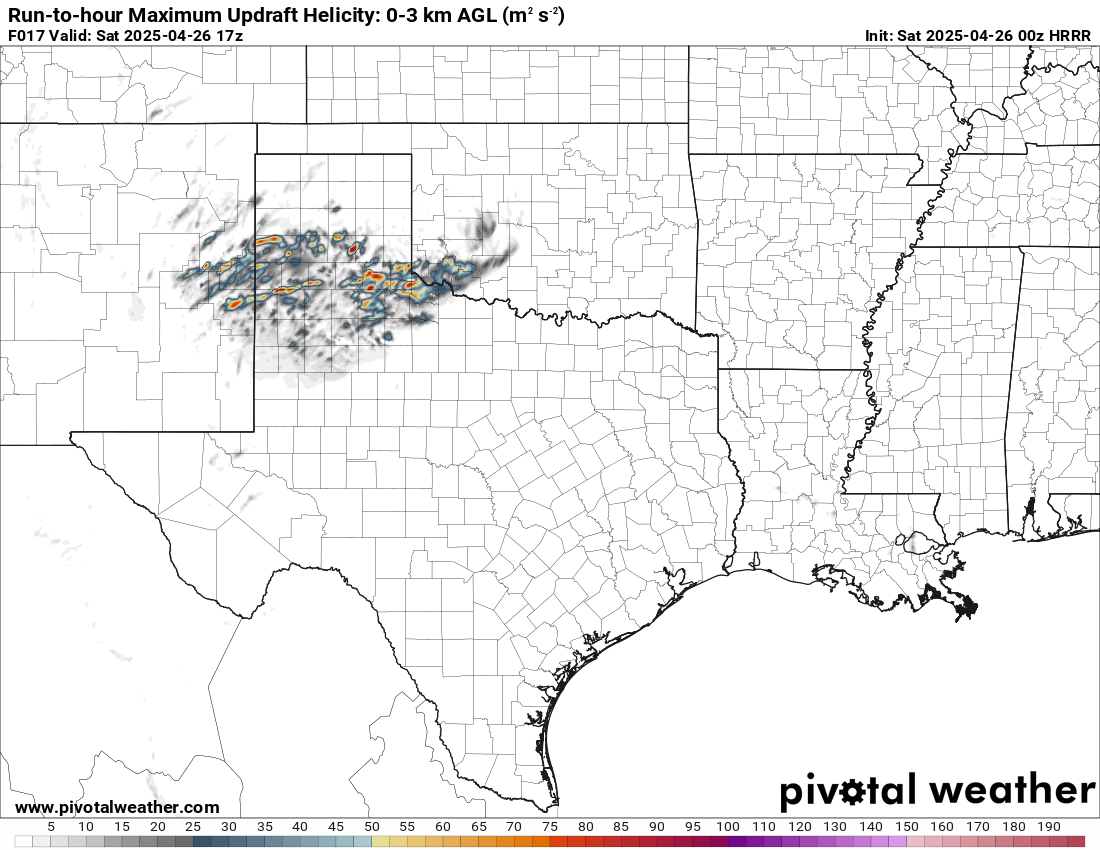
The RAP had a similar solution actually. Low toppers in this wave might lead to a quick spin up to the south.


Departing Norman
Chance picked me up at 10:45 while it was pouring rain in Norman. We headed down I-35 southbound towards Ardmore where we took US70 east. The drive down was mostly wet and cold. We questioned each other on why we were stupid enough to be chasing.
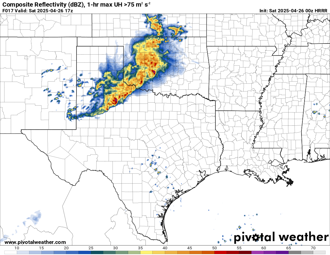
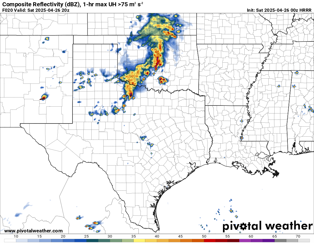
We worked our way east through Madill and to Durant. We stopped in Durant and hung out for a short while before seeing the storms growing to our south. We positioned a little east between Bennington and Bokchito where we could see under the storm. Locals were out riding dirt bikes as very low-topped storms started forming just south of US70.

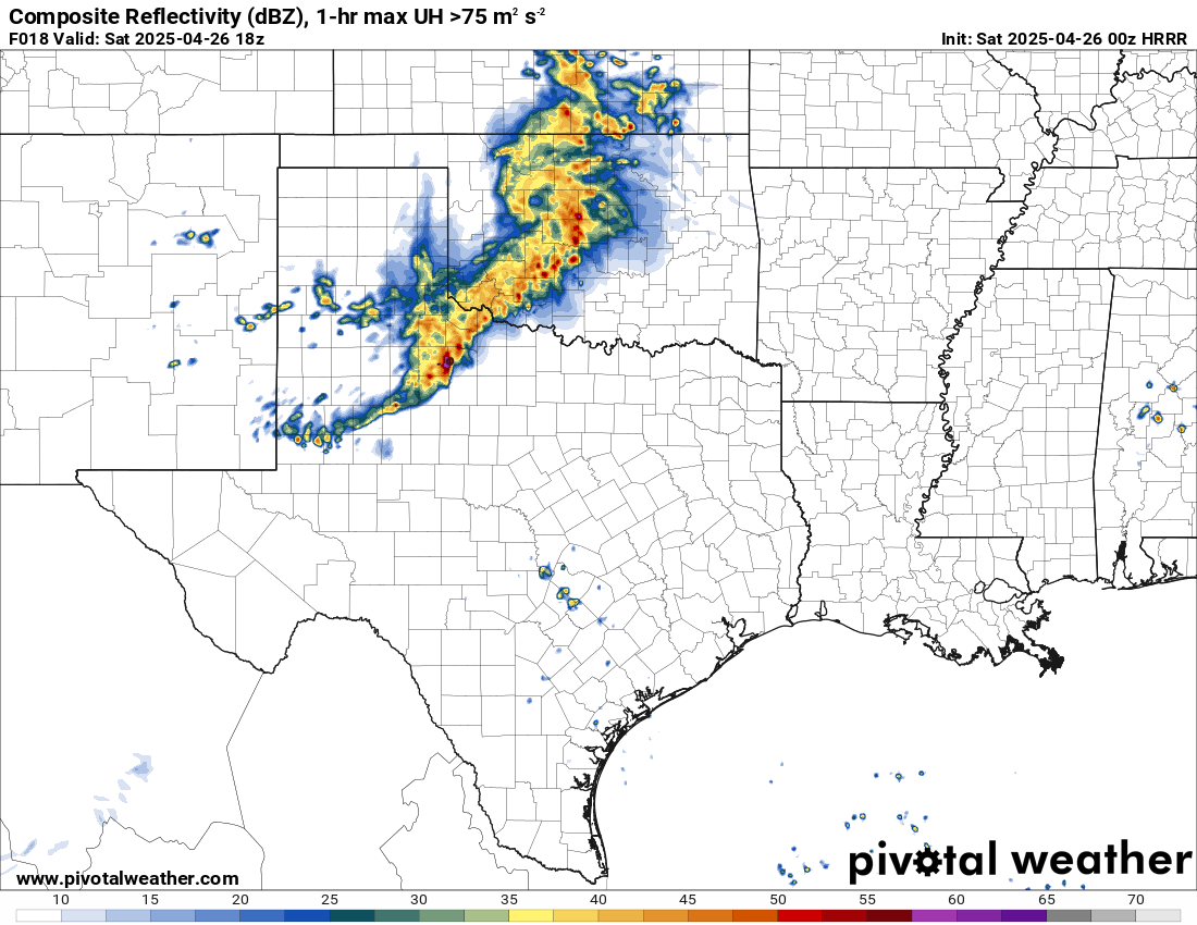
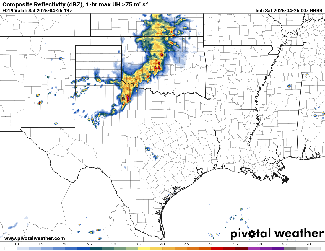
As storms quickly intensified, we had to readjust a couple miles west in Bokchito at the T2 store just west of town along US-70. The rapidly rotating wall cloud passed right over our head, heading north/northeast. We repositioned again to OK-22 and north about 4 miles.
Here is the updated radar just 30 minutes later. The storms had intensified significantly in that time period and drifted north of US70.

Bokchito Oklahoma Tornado
As we repositioned north on Highway 22, the Bokchito Oklahoma Tornado would touch down just to our south and to the east of 22. We’d observe the tornado for about 15 minutes before it roped out along E2020 Road east of 22.
Continuing North
We continued following the lifting warm front north across the Clear Boggy Creek. The creek was overflowing across the bridge, but we were able to get across. The storms along the front continued to intensify. We believe we observed another tornado to the east on a different updraft from the Bokchito tornado, but we were not sure enough to call it a tornado.
We finally ran into highway 3 where we were able to observe more storms to our east. A bit of motion, but something from earlier in the day seemed to be missing.
Storms near Atoka
We’d head west to Atoka and fill up and jump on some more storms. The storm west of Coalgate went tornado warned and we were on it pretty quickly from Atoka. While radar showed some rotation, it wasn’t very evident in person. The appearance had more of a shelfy look with it.

We’d hang around the Atoka/Coalgate area for a little while longer before heading home.

Heading Home
We finally decided to call it and head back towards home. We’d go through Ada to get home. I’d head over to Outback Steakhouse before heading home to prepare to leave for Kansas the next morning early.


