Storm Chase Details
Miles Logged: 785
States Chased: KS, OK
Largest Hail Encountered: 1.50 in.
Spotter Network Reports: 1
Severe Risks: SPC Outlooks
Severe Reports: Storm Reports
A high potential day wasted because of weak capping. A nice shortwave was ejecting into the western half of the warm sector which was in a kidney bean fashion with an arcing dryline out of the sfc low in Western KS/Eastern CO and to the east and then south. CAPE forecasts were insane, with 3500-4000+ MLCAPE forecast both by the NAM and RAP and with a nice unseasonably strong jet ejecting out over it around 20Z.
This day was a cluster from about noon on, unfortunately we were already on the road north and it didn’t make sense to turn back until it was way too late. Our original target was up near Salina, but around 1230 or so a bunch of convection starting blowing up at once along the dryline arc, sealing the fate for this day.
With so many storms blowing up, things became a cluster pretty quickly, with cold outflow dominating the warm sector in Kansas. The one place I held out hope was near Topeka with tornado warned storms around 2pm, and a good looking 18Z TOP sounding.
Unfortunately heading north and east out of Salina, we didn’t catch up to the storms producing tornadoes until it was too late and they had congealed.
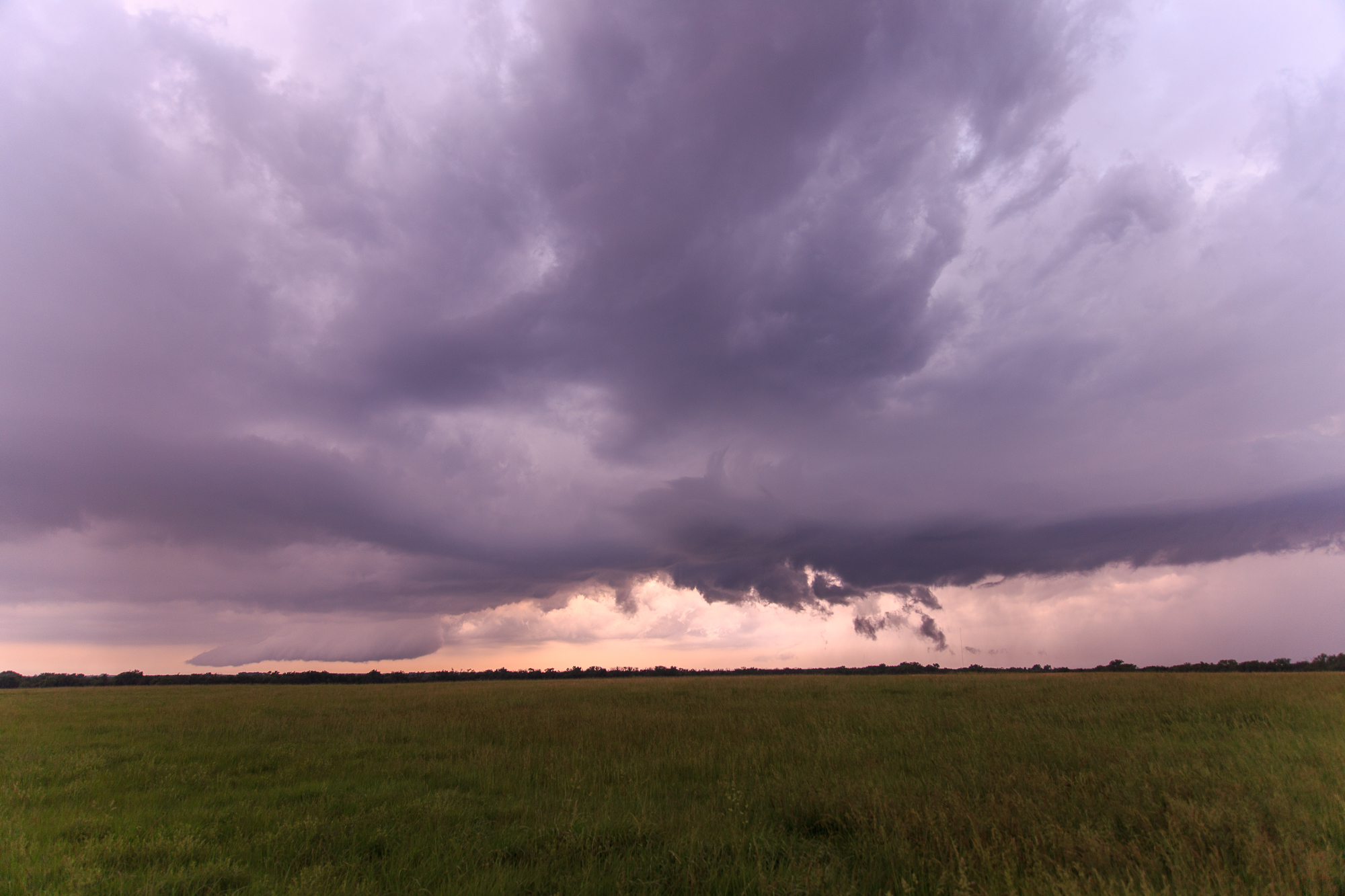
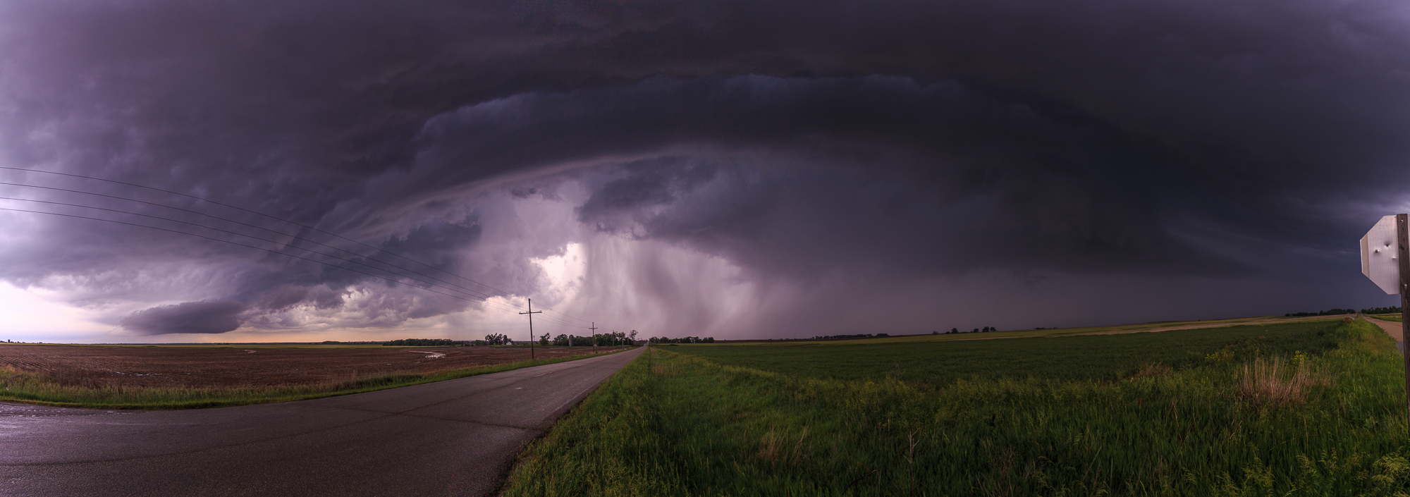
Hail & Shelf Cloud
We took a drop back towards some storms that had re-fired south near Wichita, but witnessed a shelf cloud and 2.25″ hail with those near Marion, KS.
We continued to blast west hoping the storms near Dodge City would end up doing something, stopping quickly in McPherson for gas and heading as far west as Lyons before giving up and deciding to head home.
We stopped at a great BBQ place in Hutchinson called Hog Wild. Would give them an A+.
Long drive to Norman followed. We were exhausted after a week of chasing.