Storm Chase Details
Miles Logged: 1164
States Chased: AR, MS, LA
Severe Risks: SPC Outlooks
Severe Reports: Storm Reports
A late season amplified setup in Dixie Alley. Originally, I was targeting mid-day down near Houston or just north of there. However, models began to downplay that target and really ramped up on the main target further east near the Mississippi River. I ended up in Vicksburg, MS and chasing a tornado warned storm in Eastern Louisiana.
Forecast
For a week out, the GFS was showing a very powerful trough sweeping the southern half of the country. With a strong return flow, the atmosphere would become very moist and unstable as the trough swept across Texas, Arkansas and Louisiana.
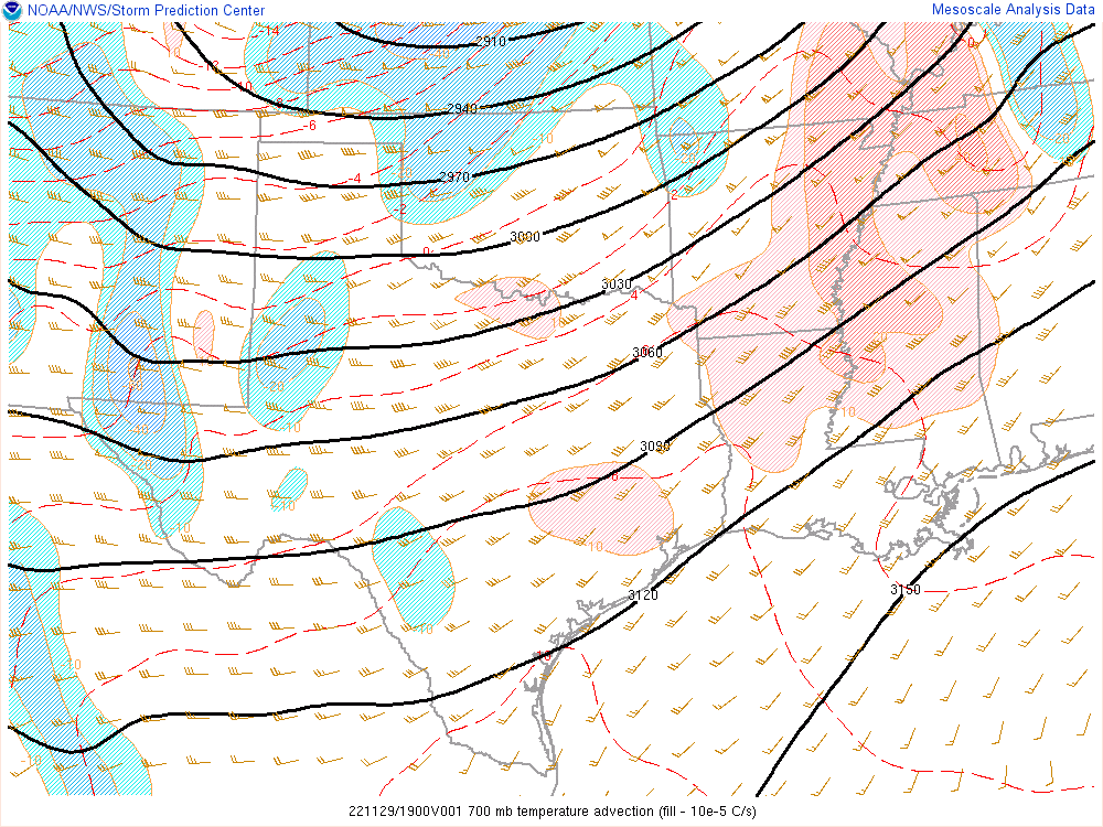
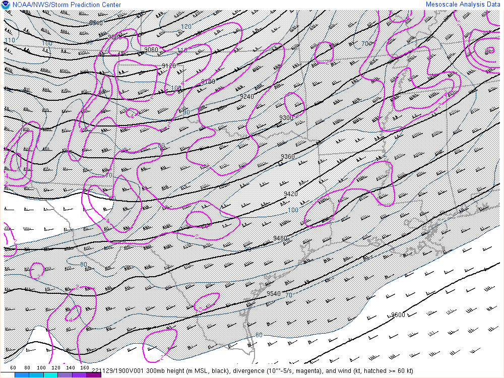
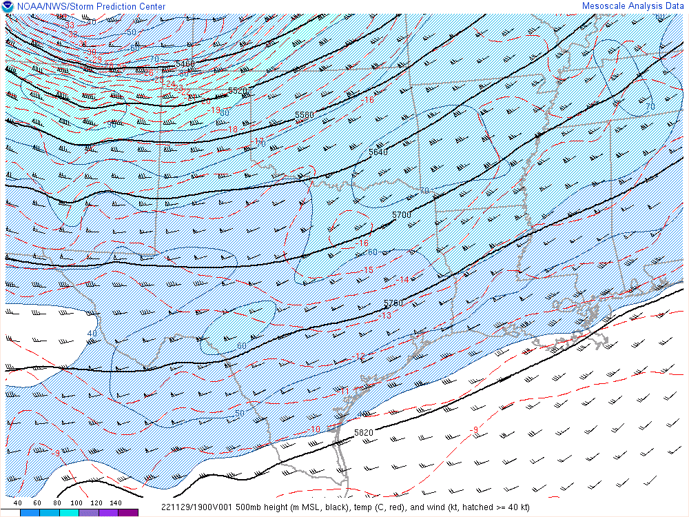
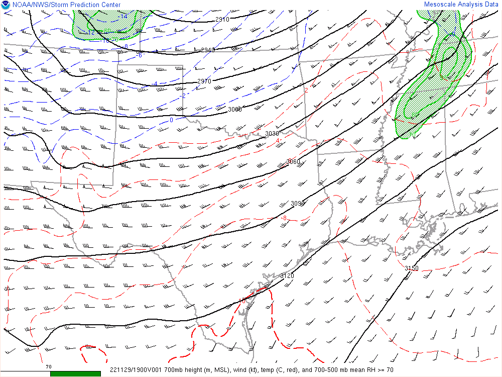
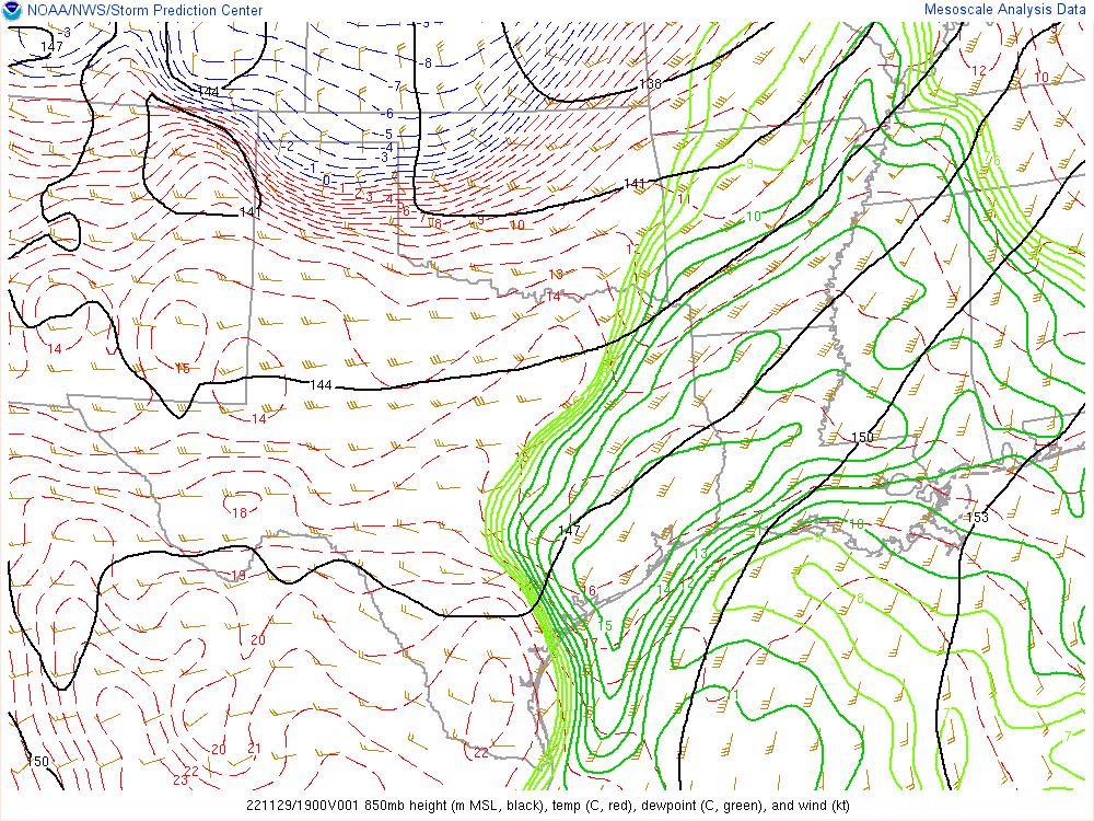
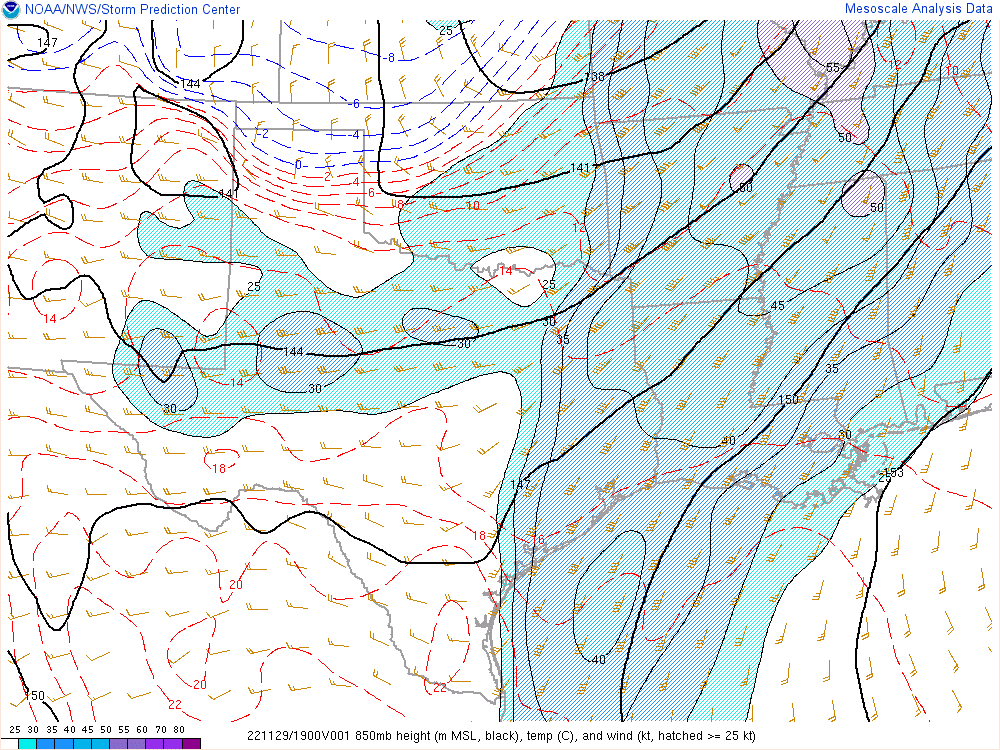
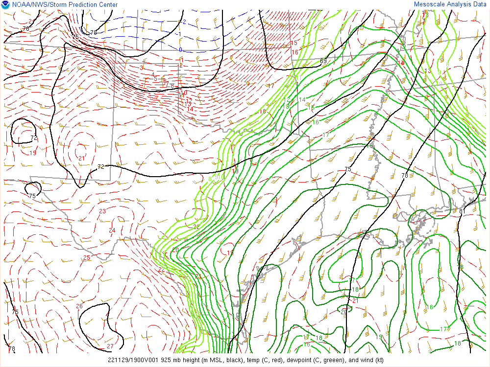
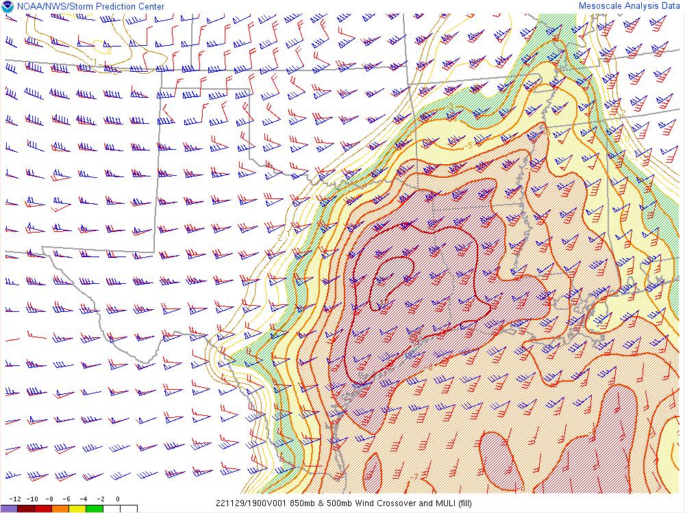
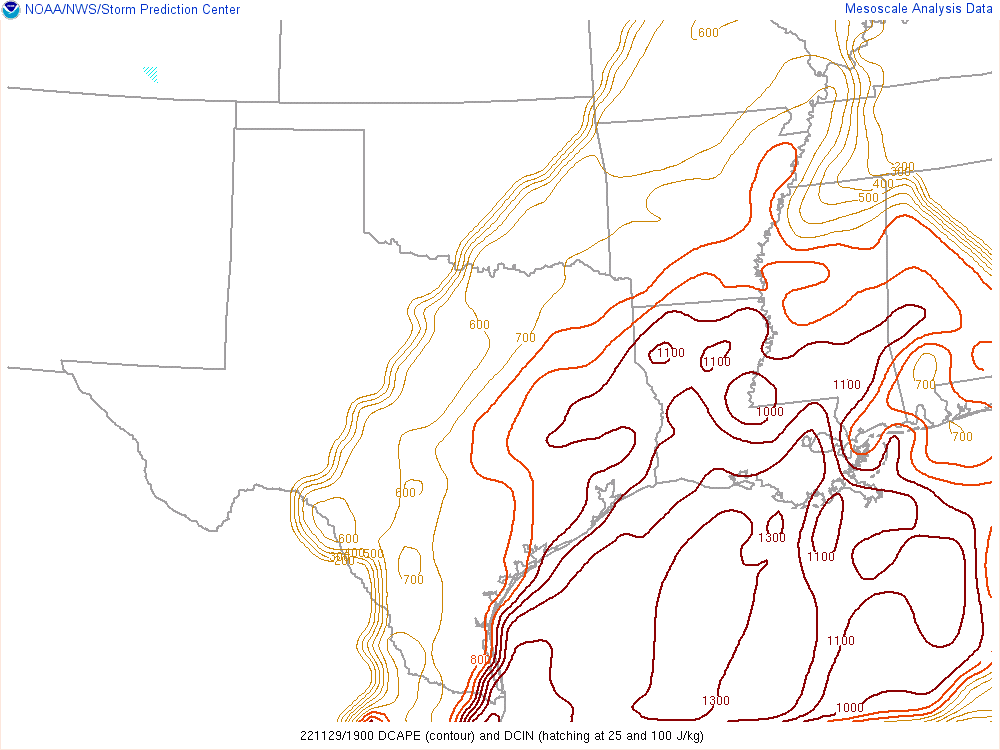
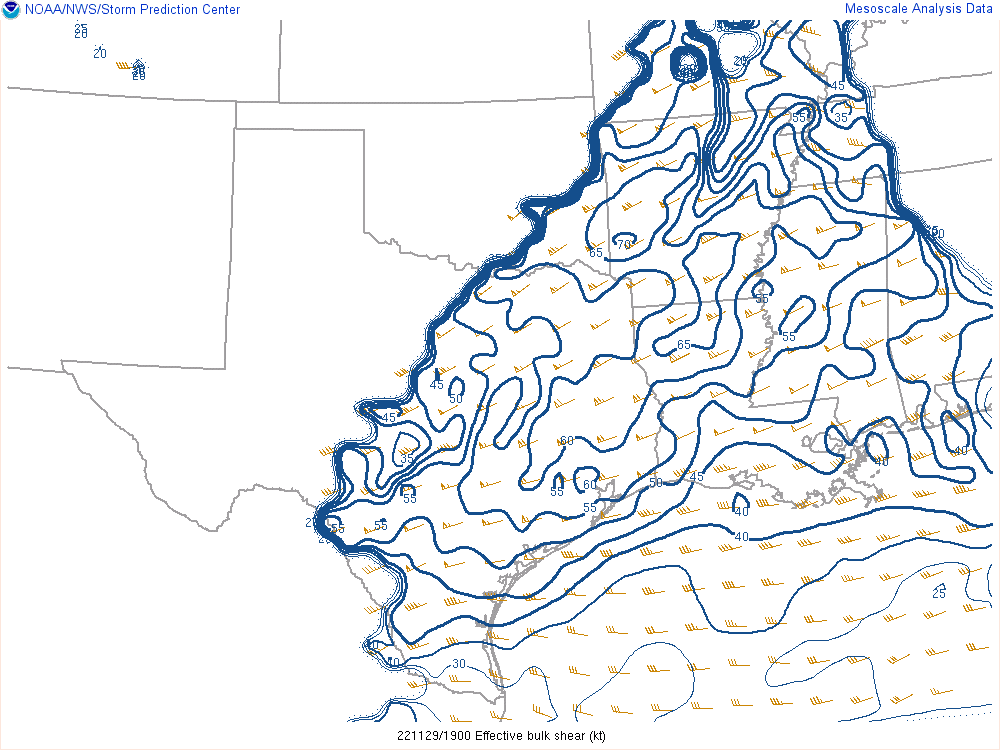
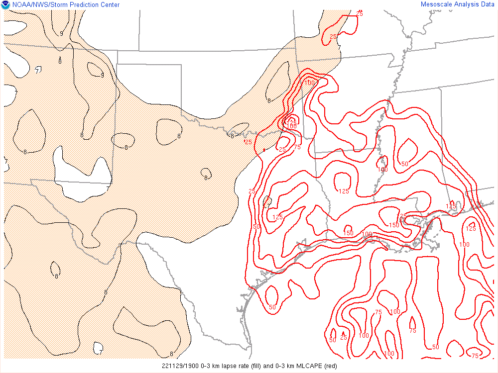
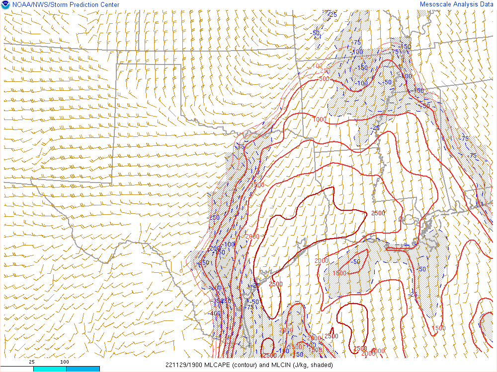
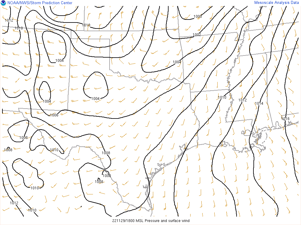
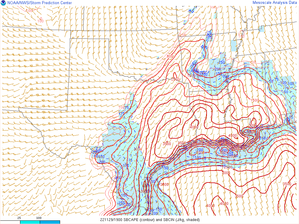
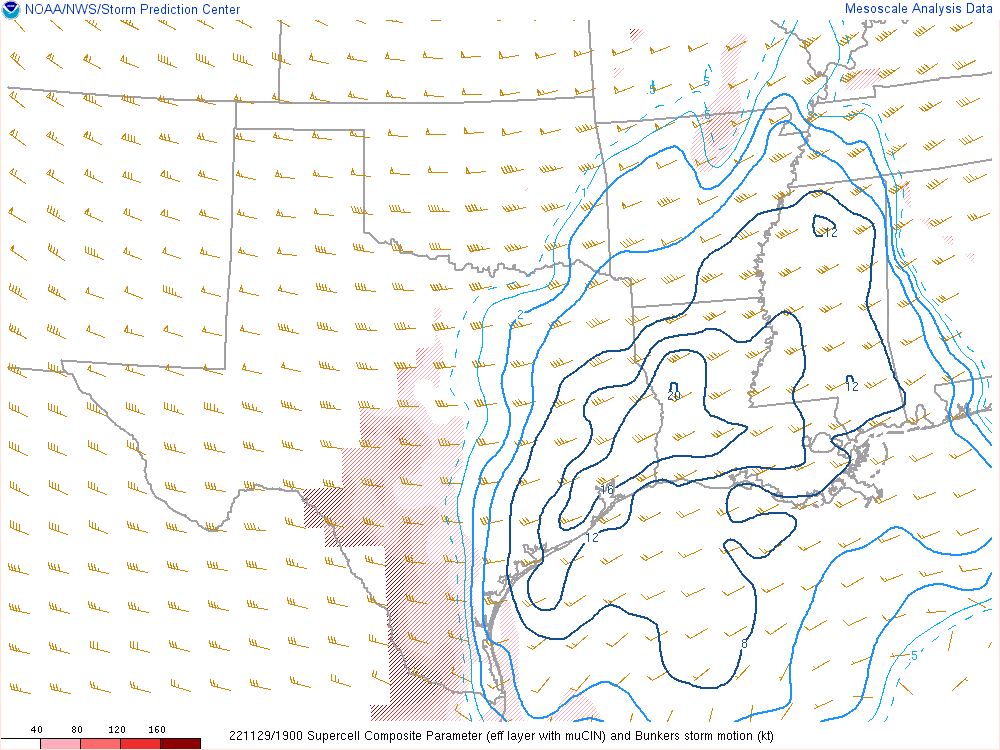
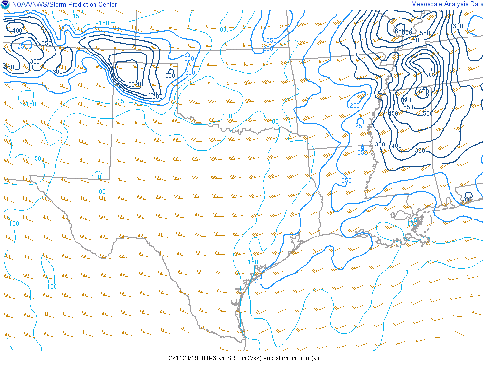
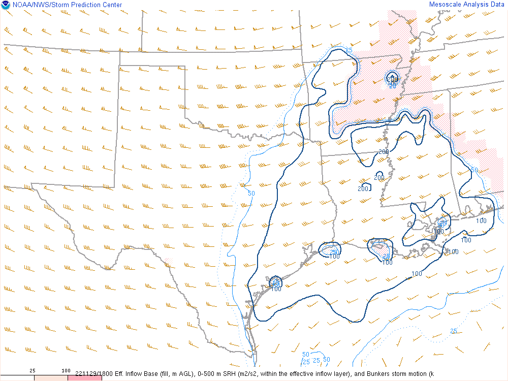
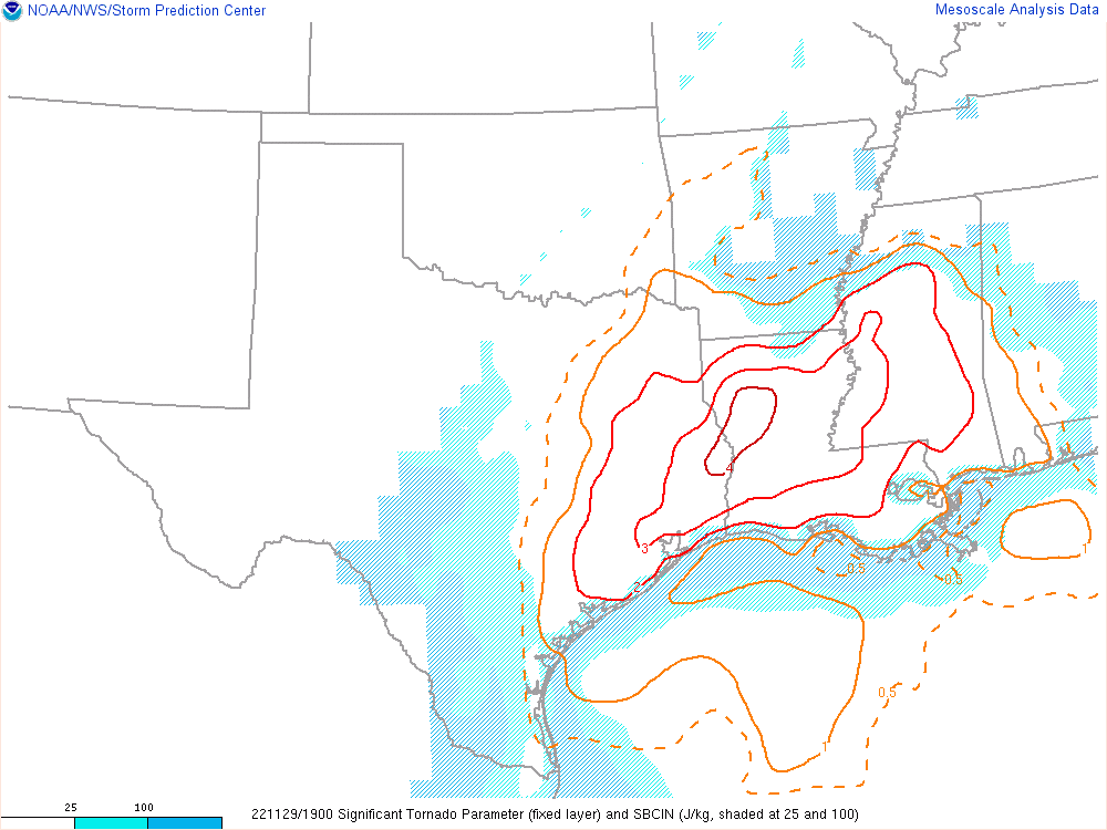
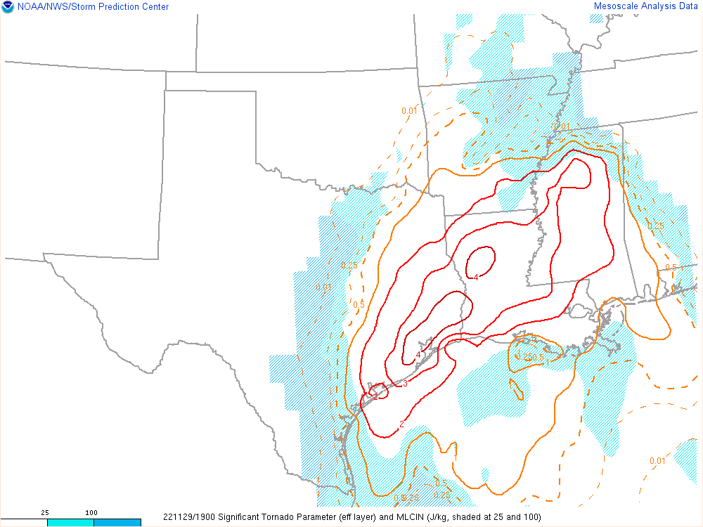
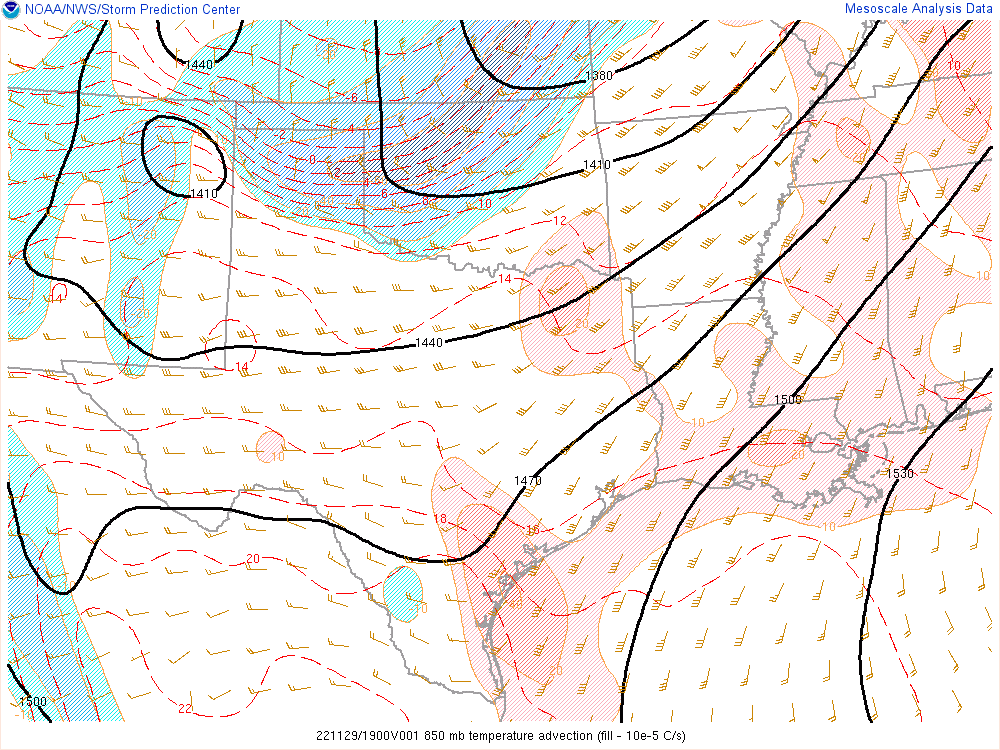
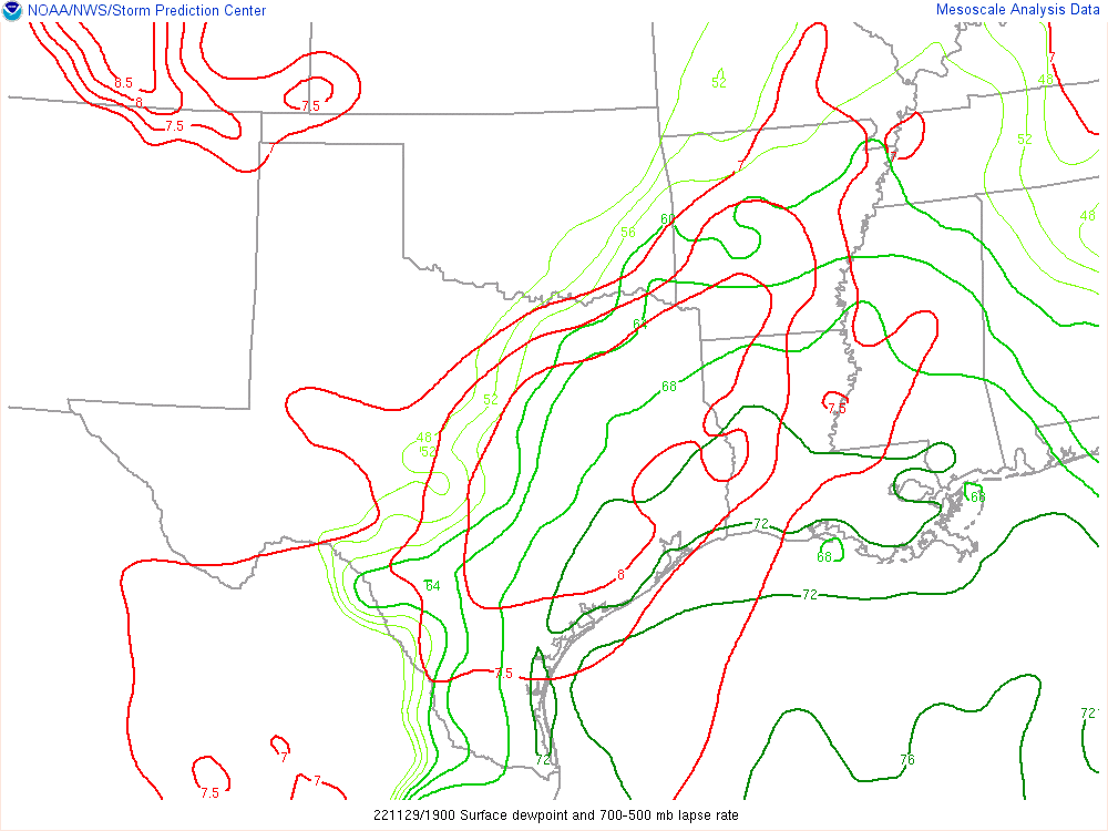
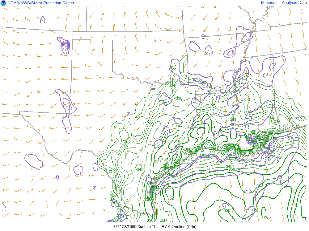
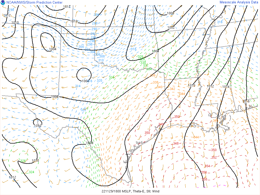
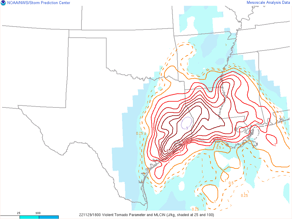
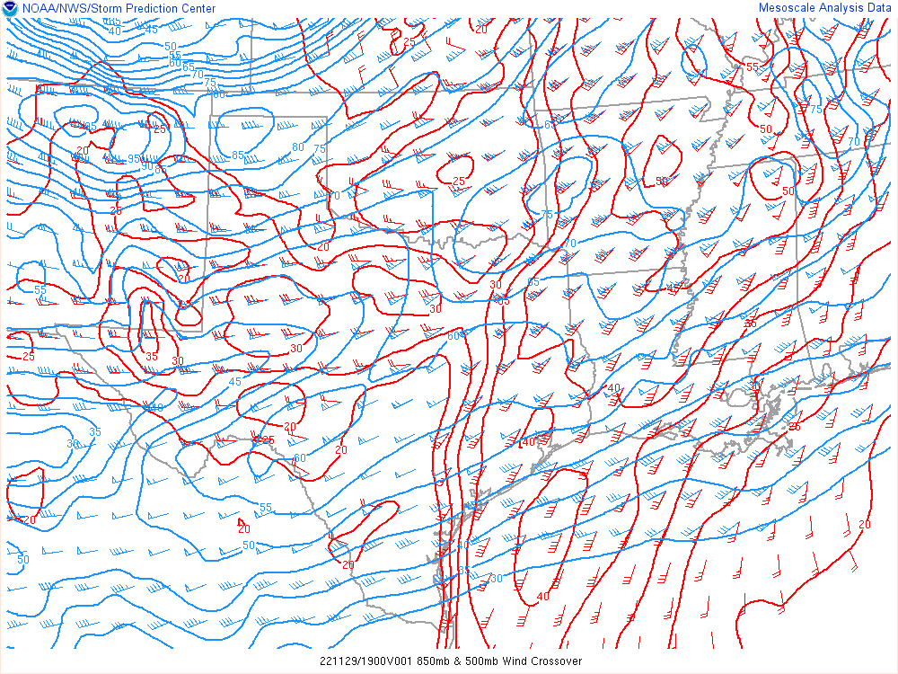
18Z Mesoanalysis
As I sat in Greenville, I grabbed the 18Z mesoanalysis as I looked it over. I really liked the jet streak at 300mb over Northern Louisiana as well as the amount of instability for late November building to the south. I liked the general area I was in, but decided to start heading a little further south to tap into that better instability. Judging from the water vapor loop, the Louisiana/Arkansas/Mississippi junction would be in an optimal position.
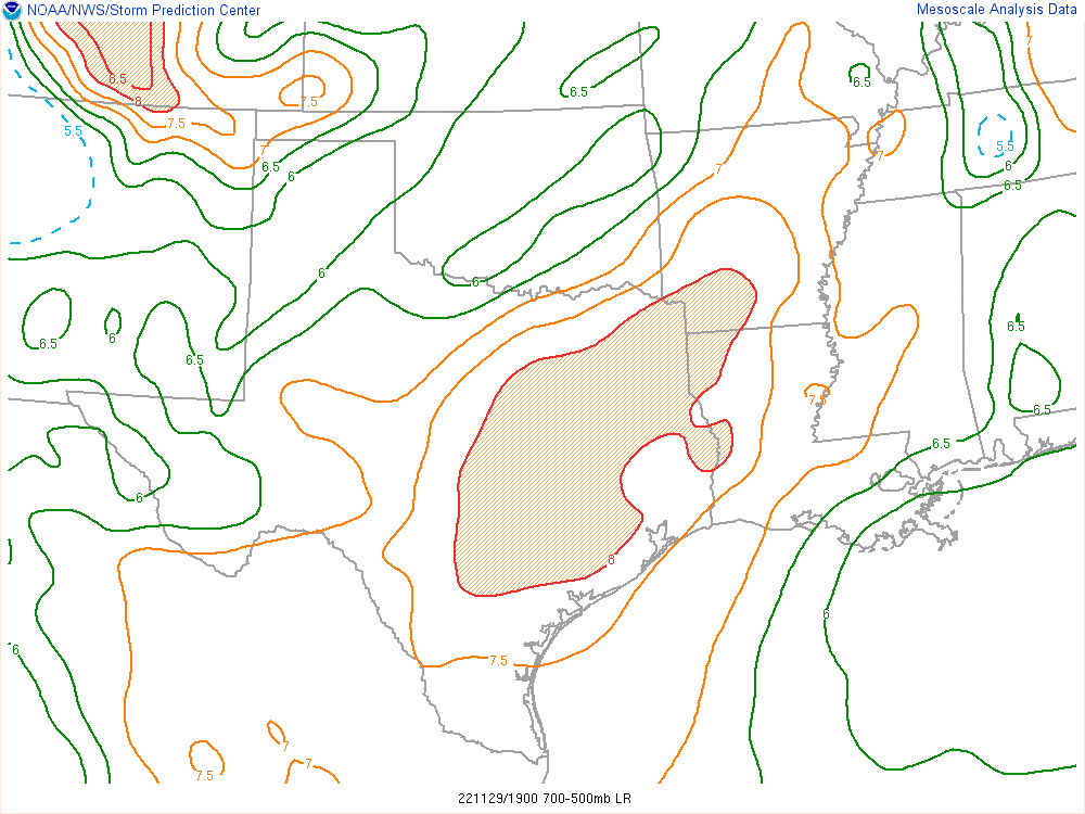
18Z Jackson Sounding
I checked out the special sounding from Jackson, Mississippi. The major weakness that stood out to me was the missing low-level instability. Without that, it would be hard to get a tornado. Finding the areas of clearing would be key if I wanted to see a tornado during daylight hours. I made it to Vicksburg where I waited until it became clearer where storms would be.

Tornado Warned storm near Gilbert, Louisiana
As storms continued to intensify, I decided to head west out of Vicksburg and cross the river into Louisiana. The best looking storms and environment were down near Alexandria and quickly moving northeast while rapidly intensifying. I headed on I-20 west to Delhi then south to Gilbert and Wisner.
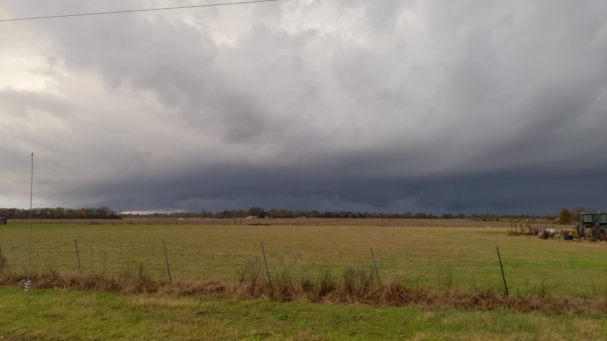
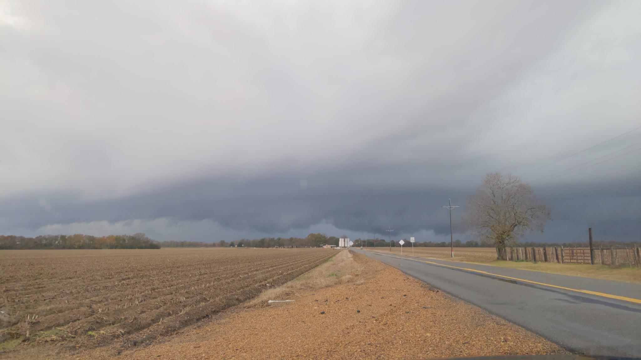
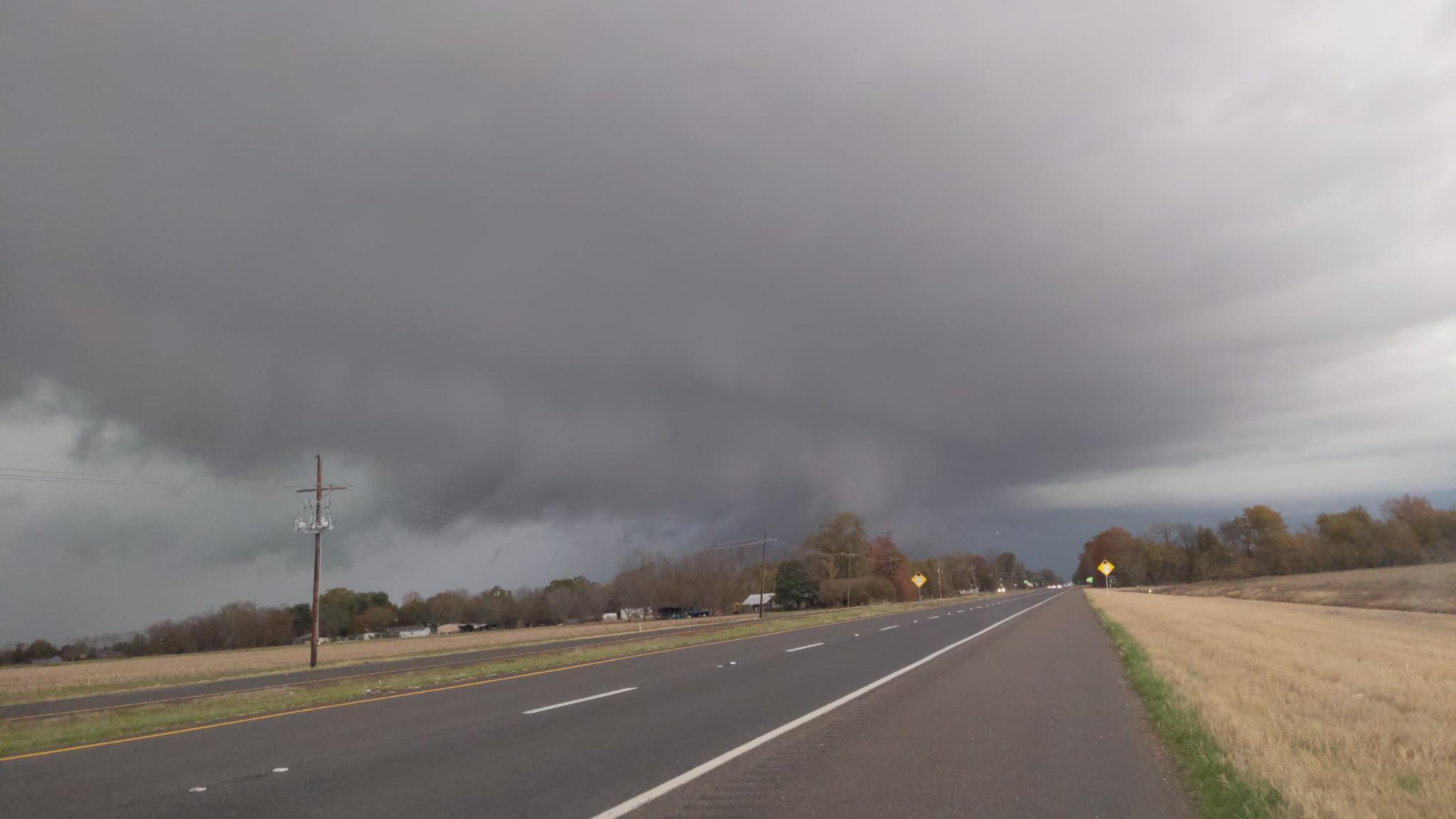
The storm had some rotation underneath, but mostly seemed to be outflow dominant. Storm motions, road network and the waning daylight forced me to drop off the storm pretty much right away and start heading west towards home.
Tornado Warned storms on the way home
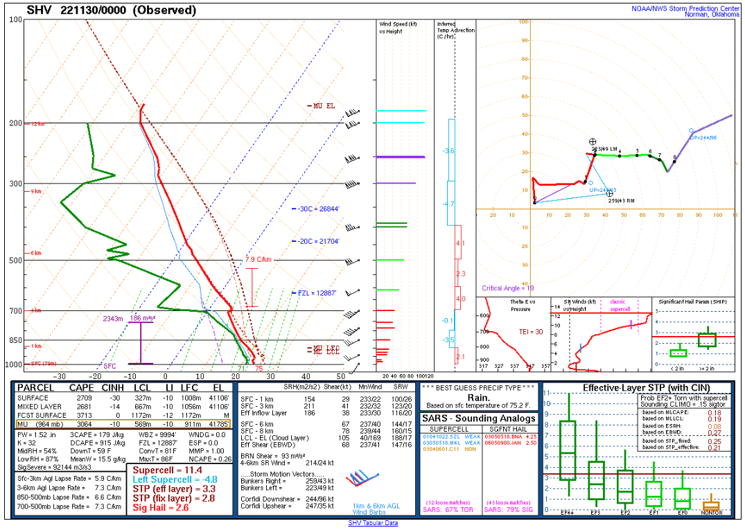
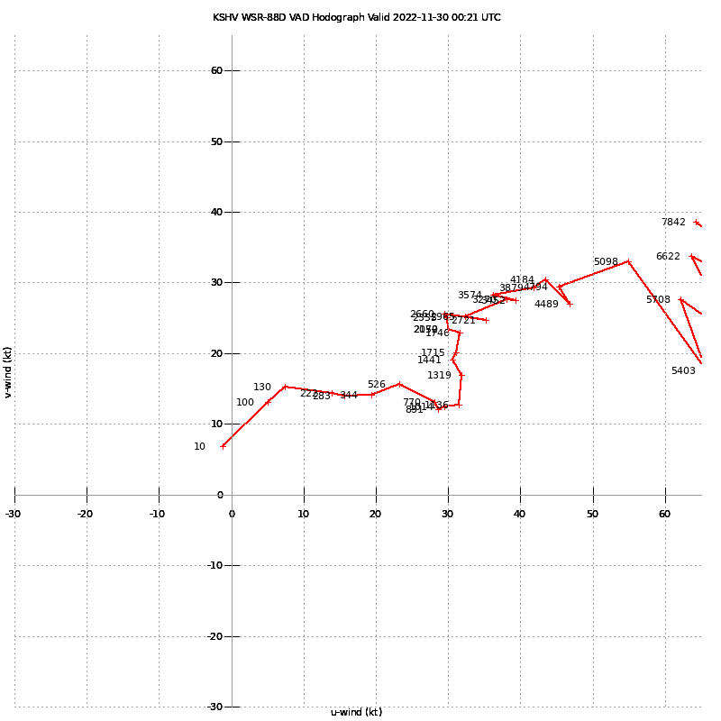
As I continued west on I-20, a storm started firing just south and west of Shreveport. The 00Z sounding, as well as VWP off the Shreveport radar, still showed considerable turning in the lower levels. Multiple storms fired along the freeway, but nothing ever really became intense.
I continued home, getting back to Norman a little after midnight.


