Storm Chase Details
Miles Logged: 209
States Chased: OK
Severe Risks: SPC Outlooks
Severe Reports: Storm Reports
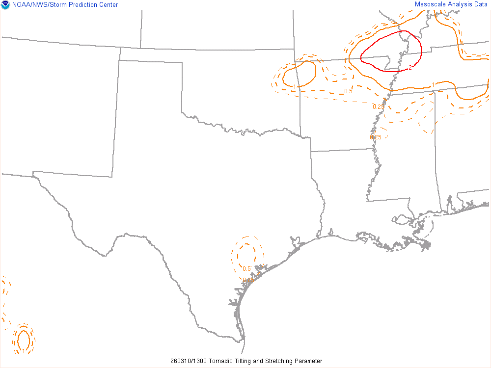
A somewhat unexpected tornado warned supercell tracks across Oklahoma City metro dropping some hail.
Forecast
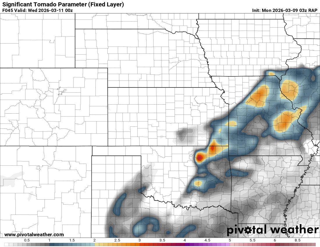
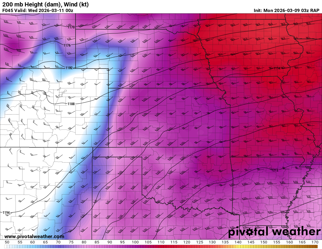
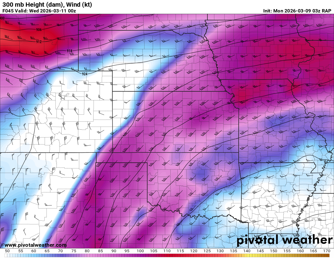
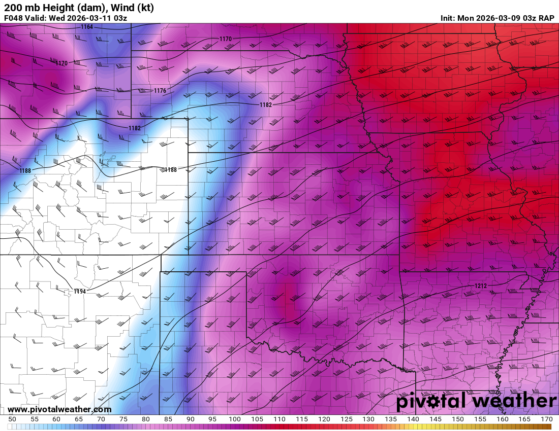
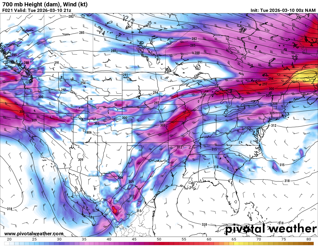
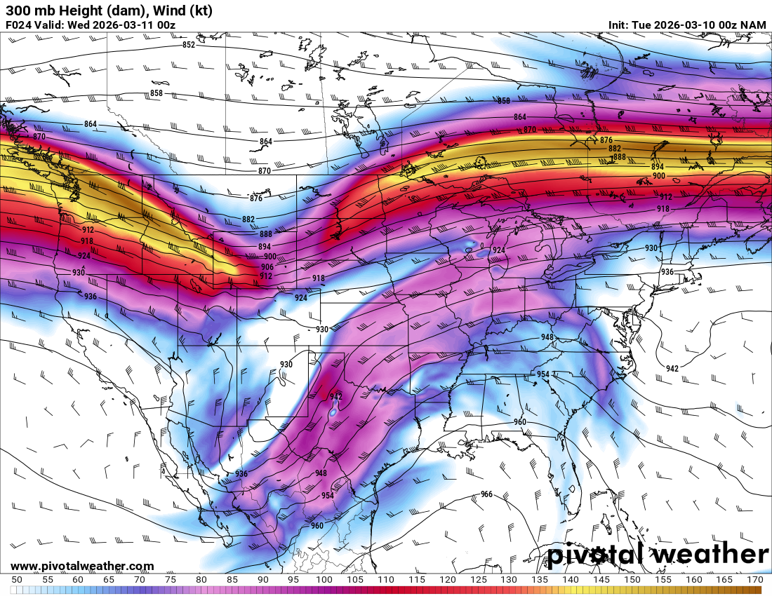
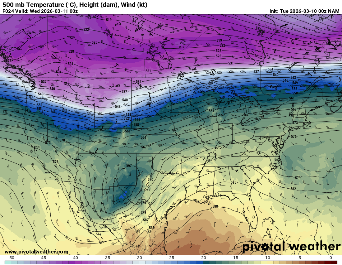
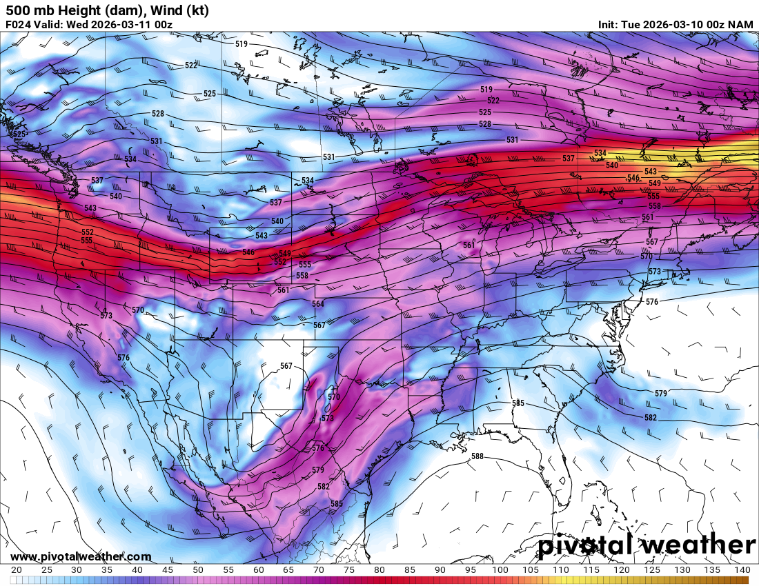
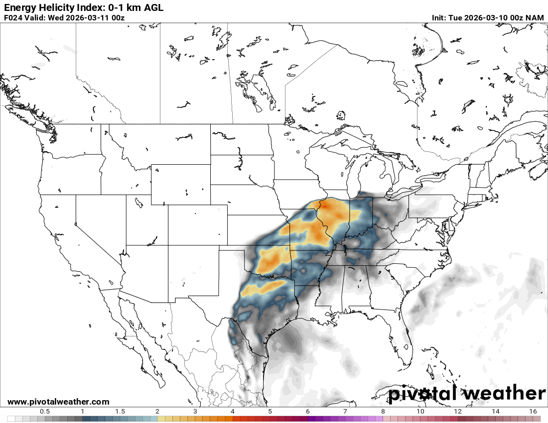
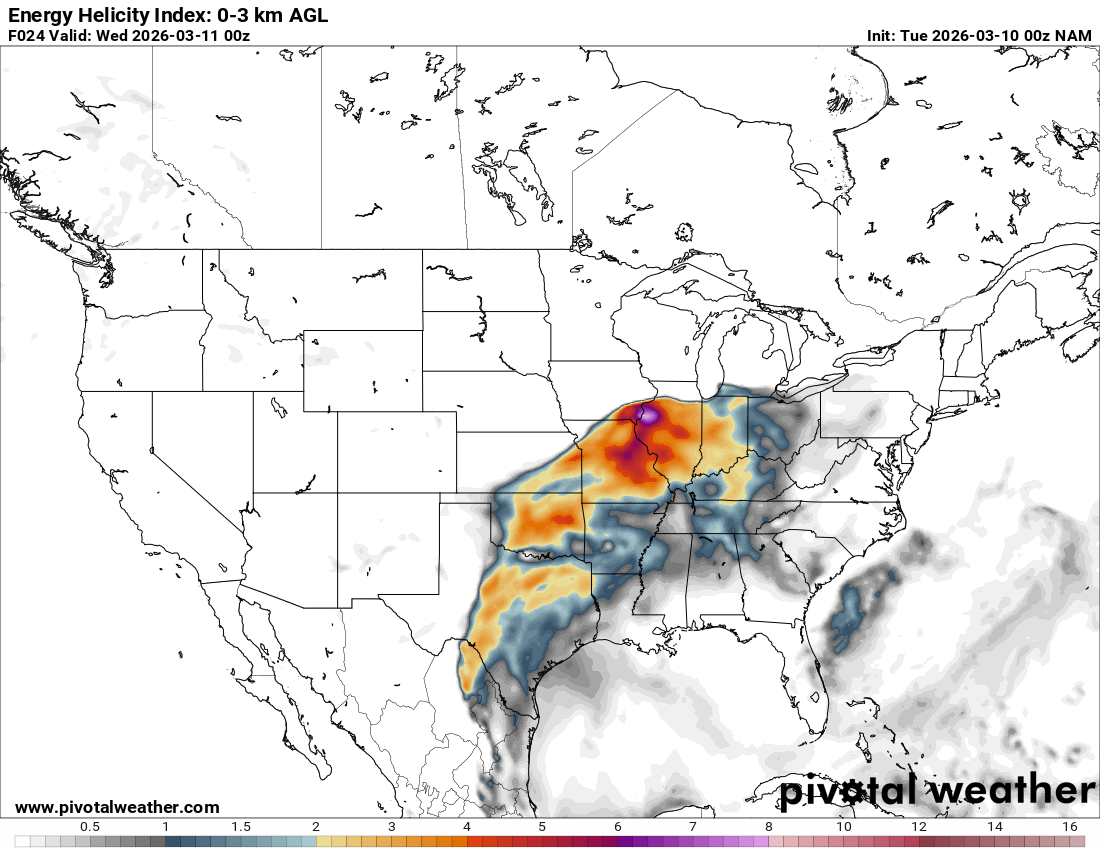
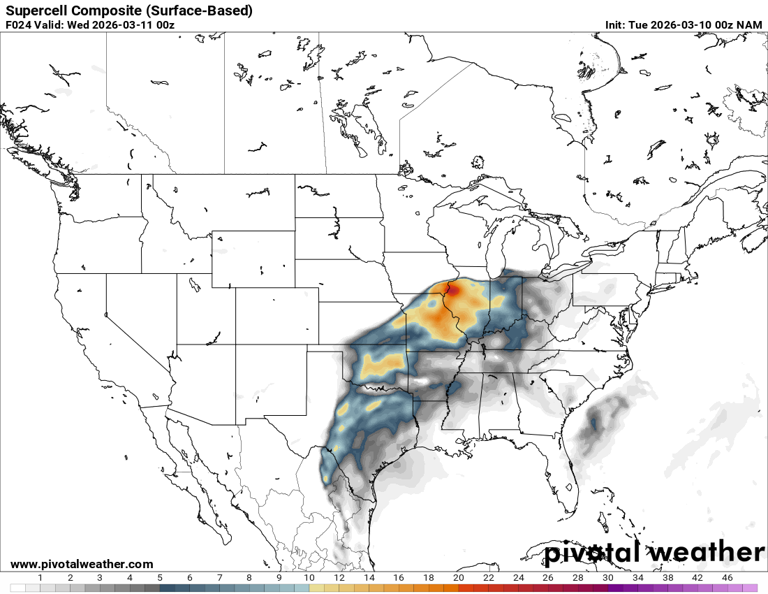
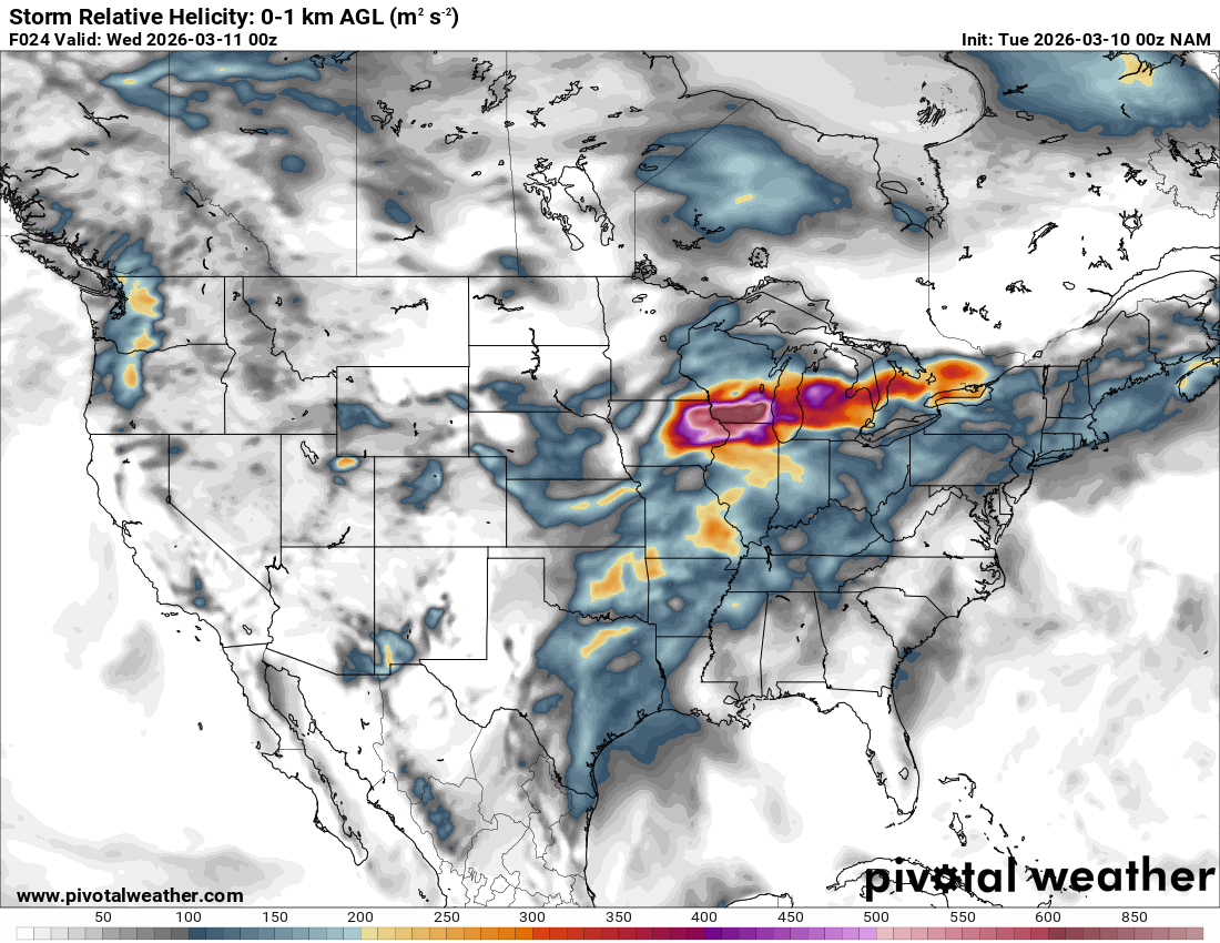
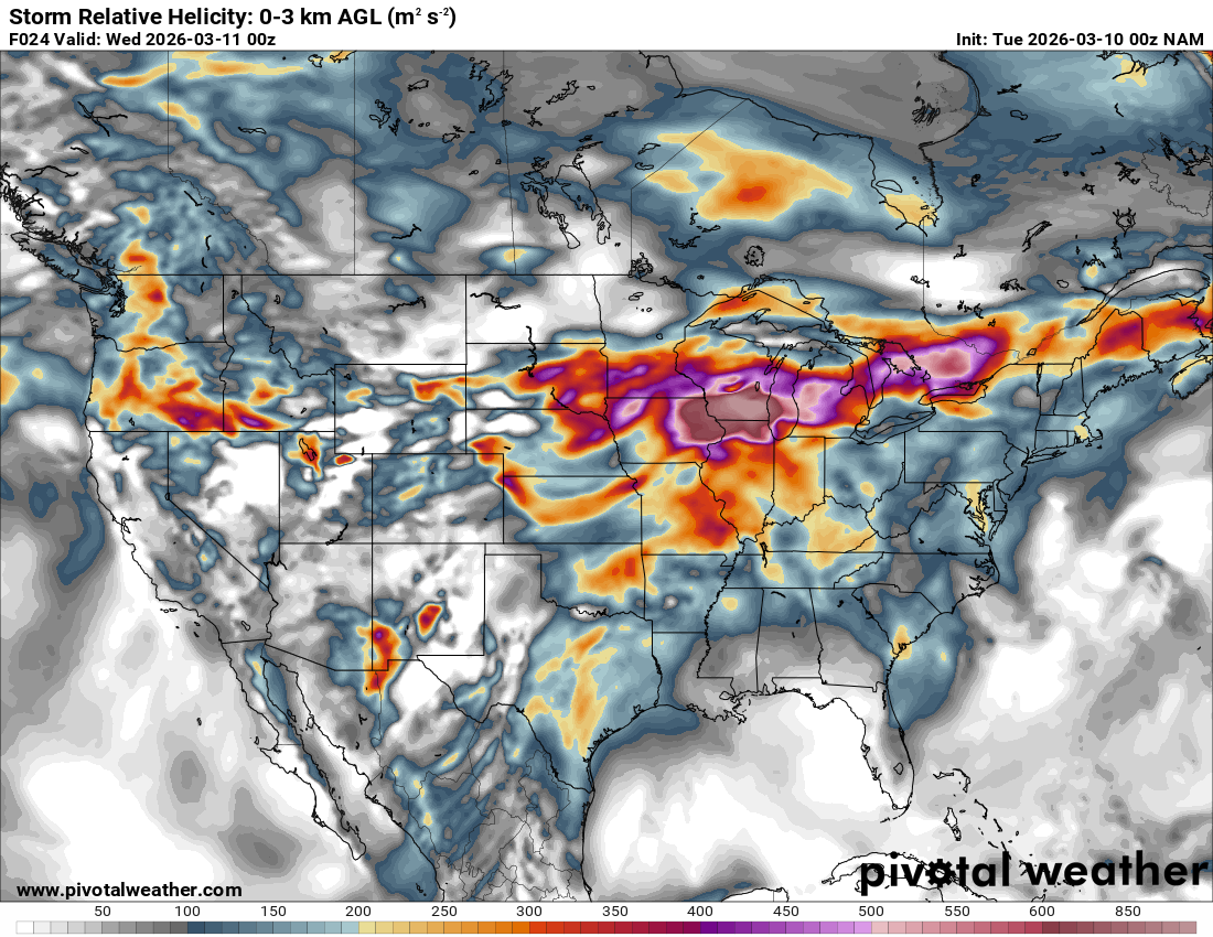
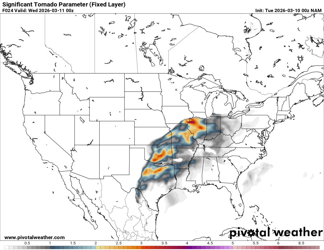
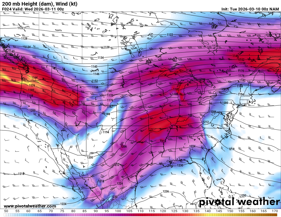
The main hype was on the system in the Great Lakes region, specifically Illinois and Indiana south of Chicago. The hype was well founded, with a very strong jet stream overhead and a warm front oriented along I-80. It seemed like the possibility was there for tornadic supercells. However, I did not want to hedge a long drive (12 hours each way) to chase in Illinois when the RAP was showing the possibility of tornadoes nearer to home – Specifically Central and Southern Oklahoma.
03Z RAP on March 8
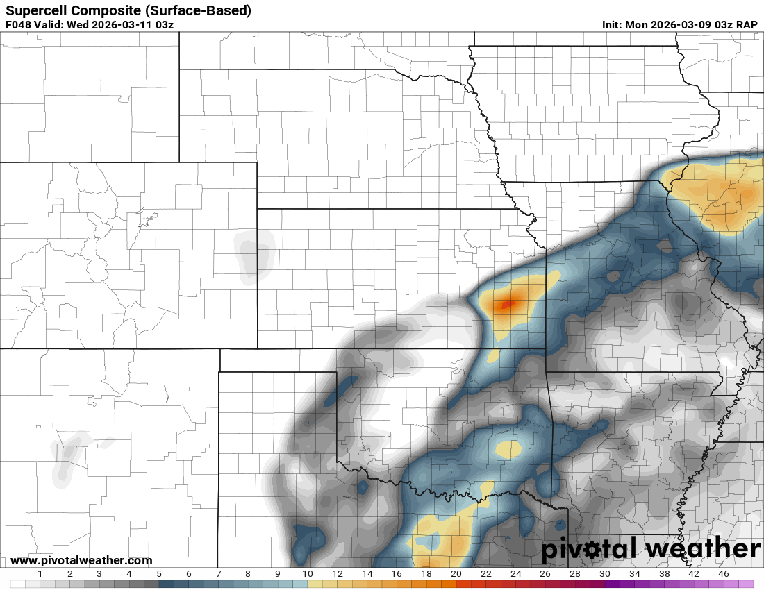
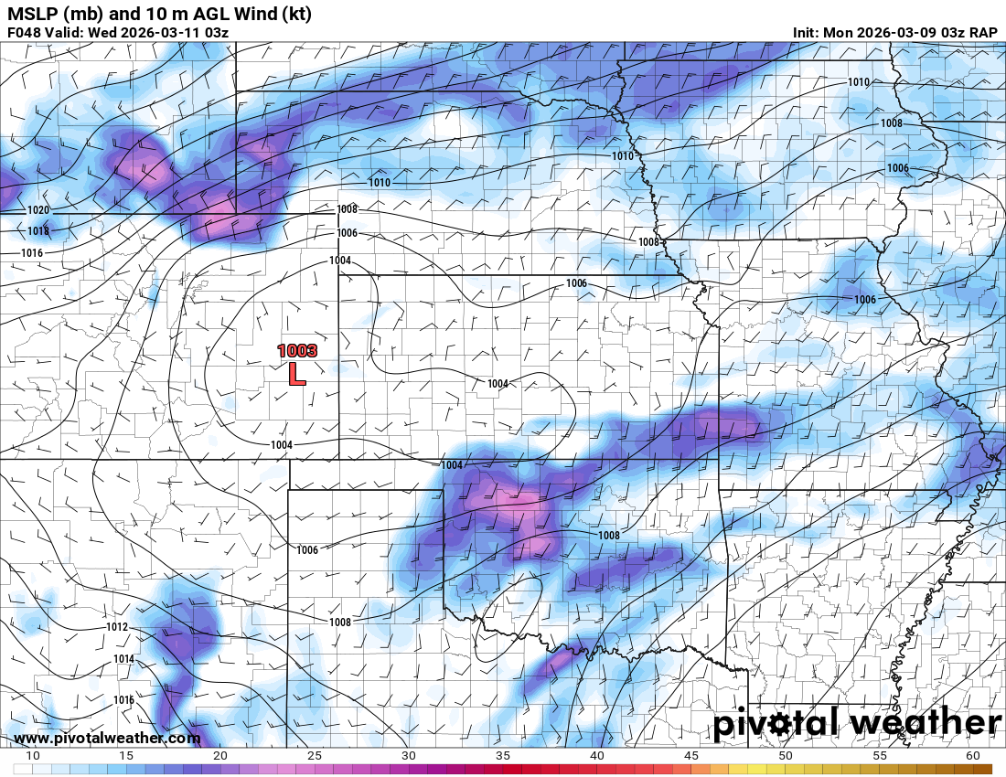
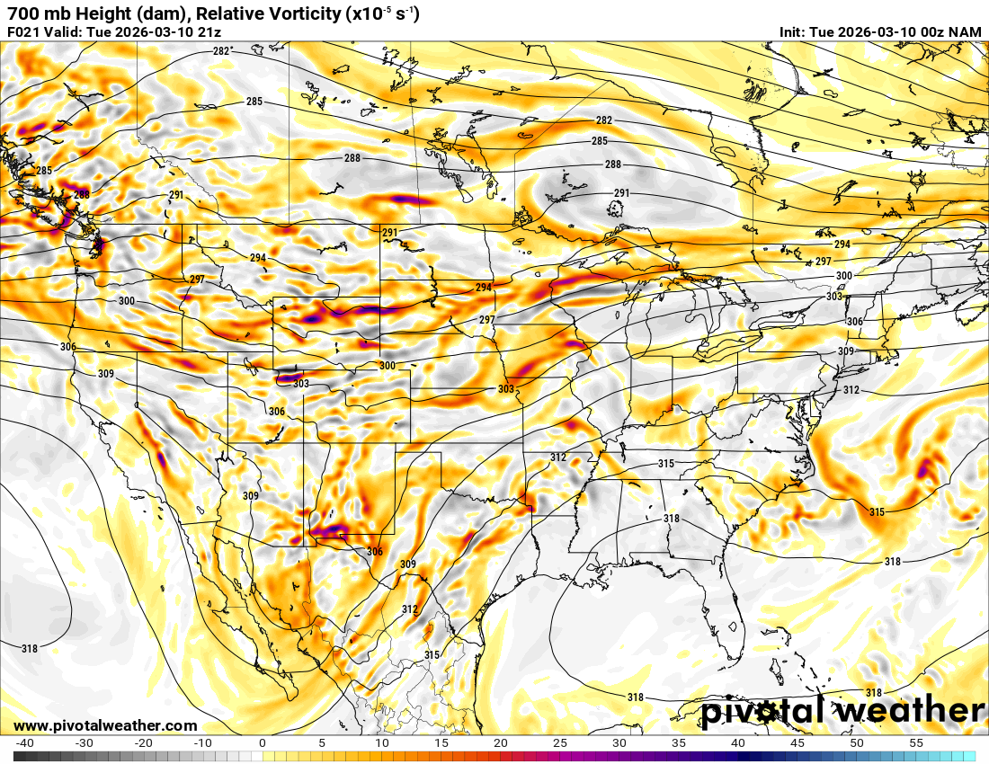
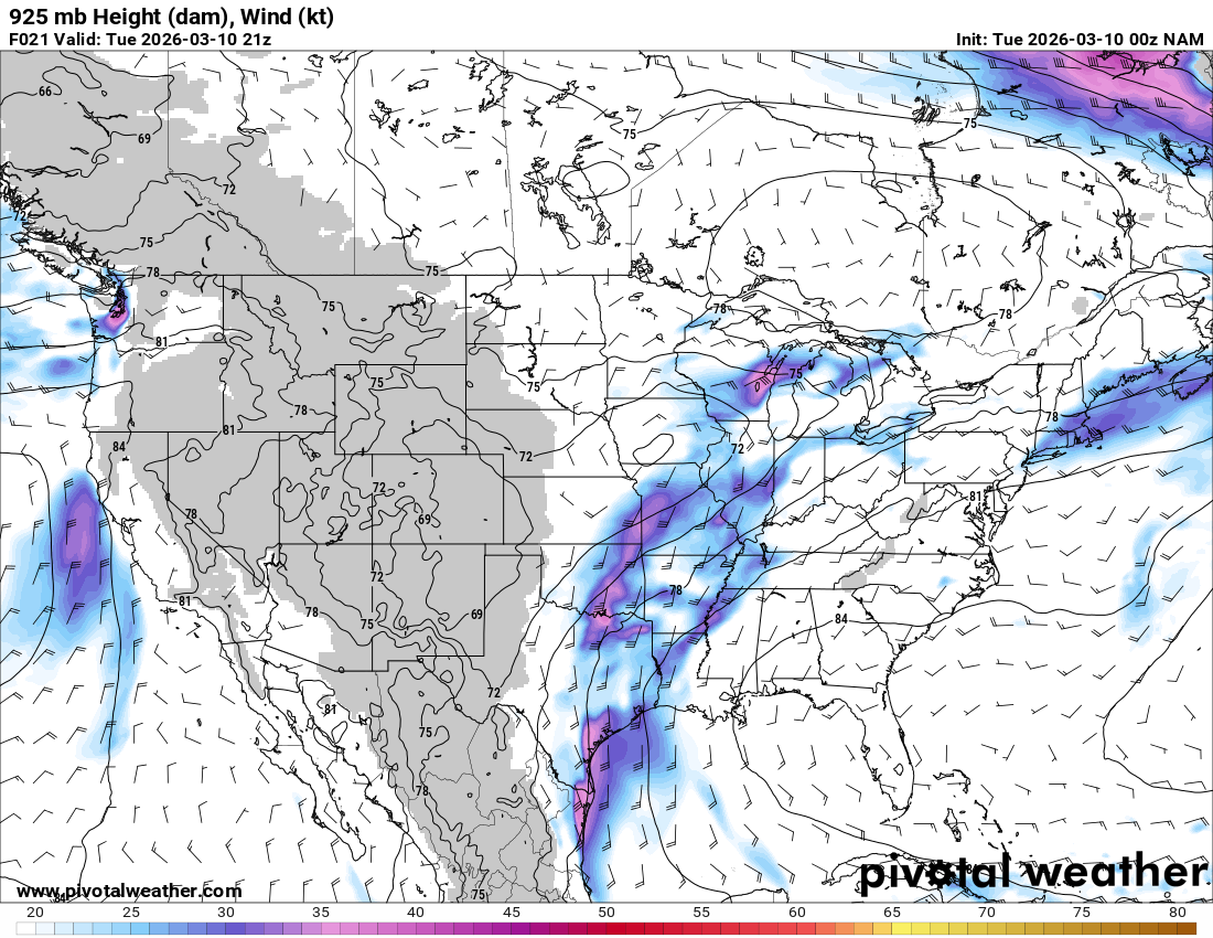
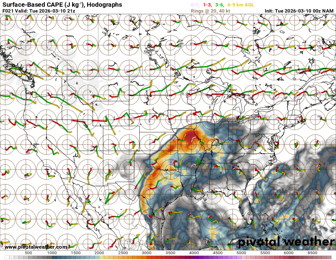
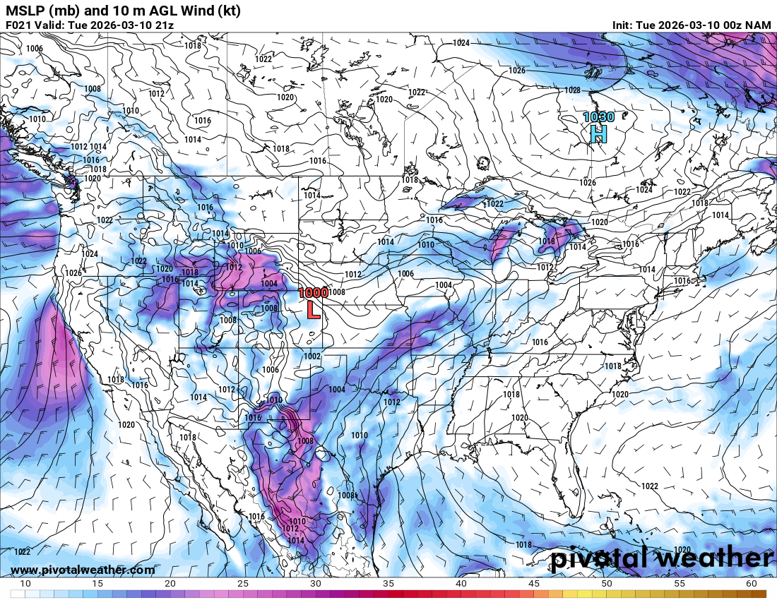
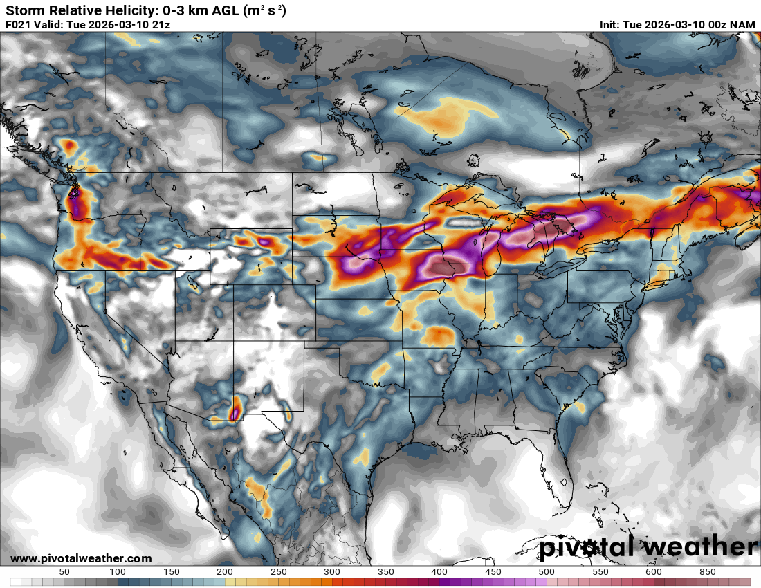
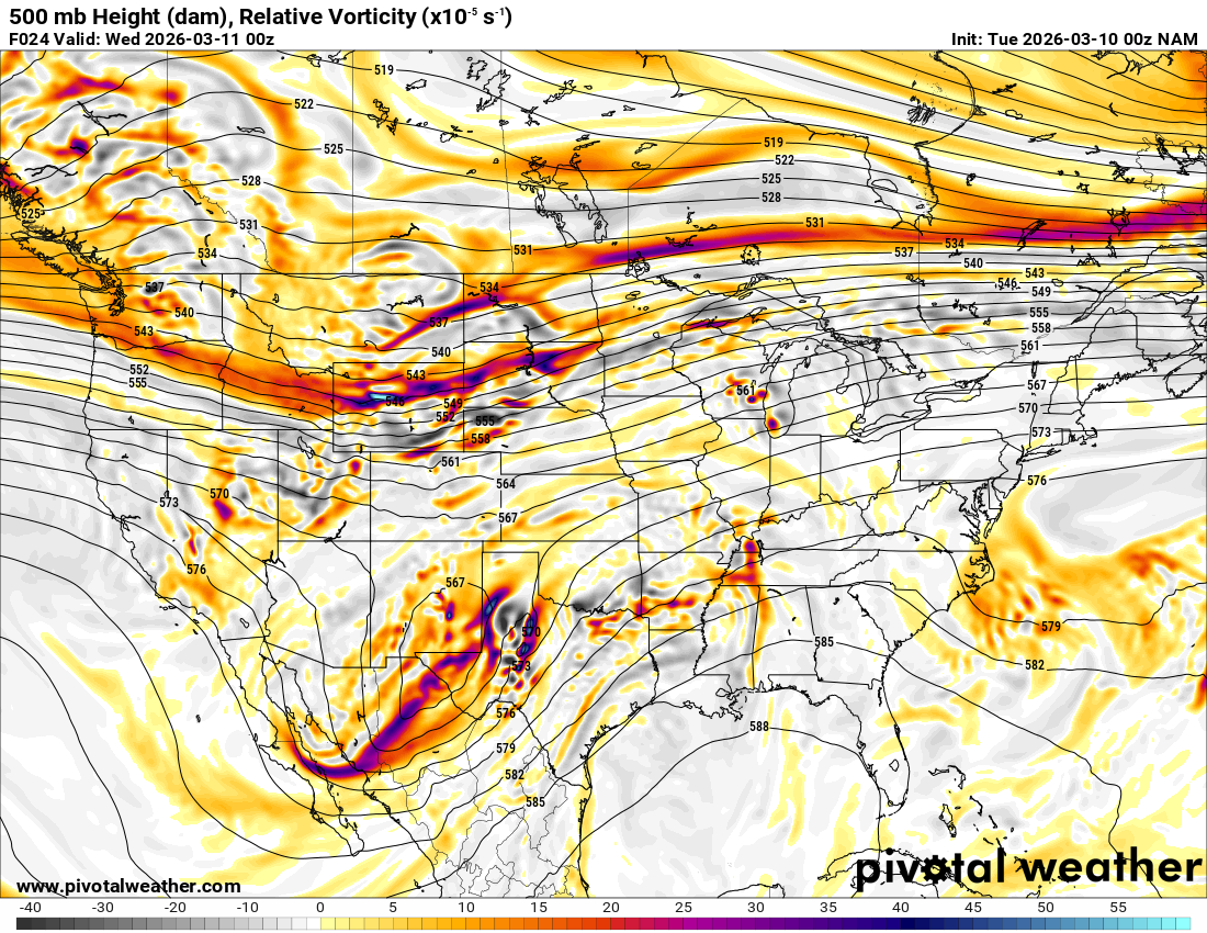
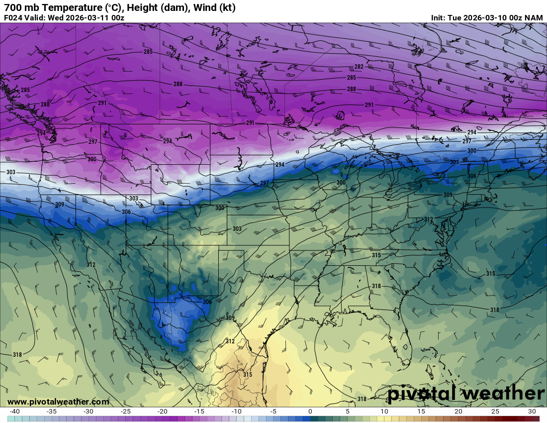
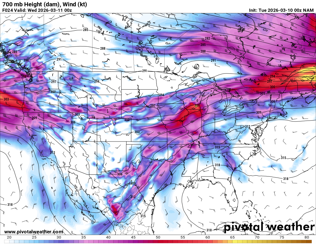
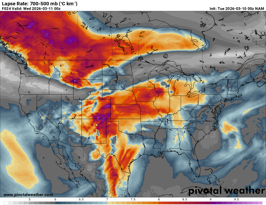
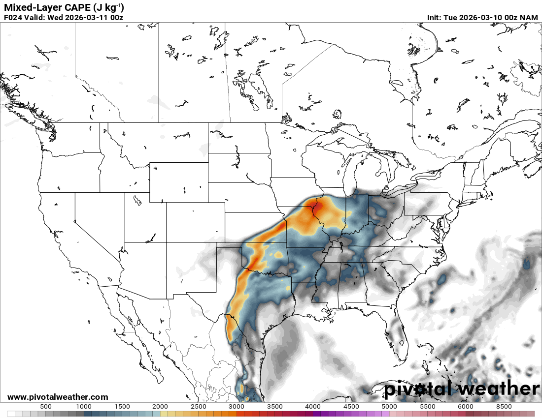
Looking out 2 full days, the evening RAP run on Saturday night March 7th (03Z on March 8) was showing the possibility of supercells in Central and Southern Oklahoma. With the main jet stream staying north, a cut off low over Northern Mexico and ejecting into Texas/Oklahoma in the late afternoon and evening hours. With the success I had with cutoff lows in 2012, I couldn’t ignore this system in the Southern Plains.

Running through the RAP, it had some weird chunk out of moisture/instability in Central Oklahoma. It was assuming there would be convection ongoing that would clear the warm sector. If that’s the case, this would be more in Eastern Oklahoma.
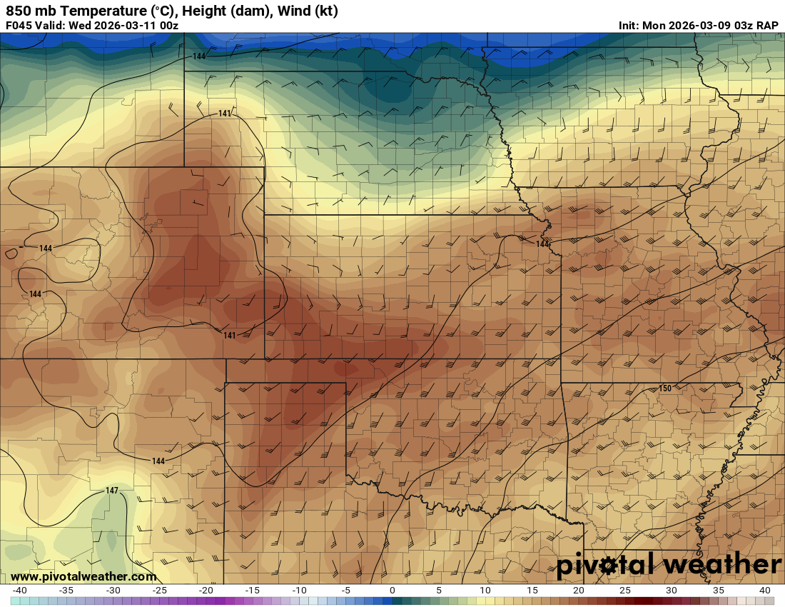
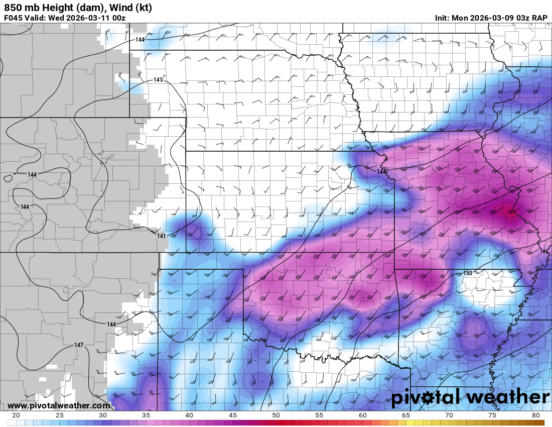
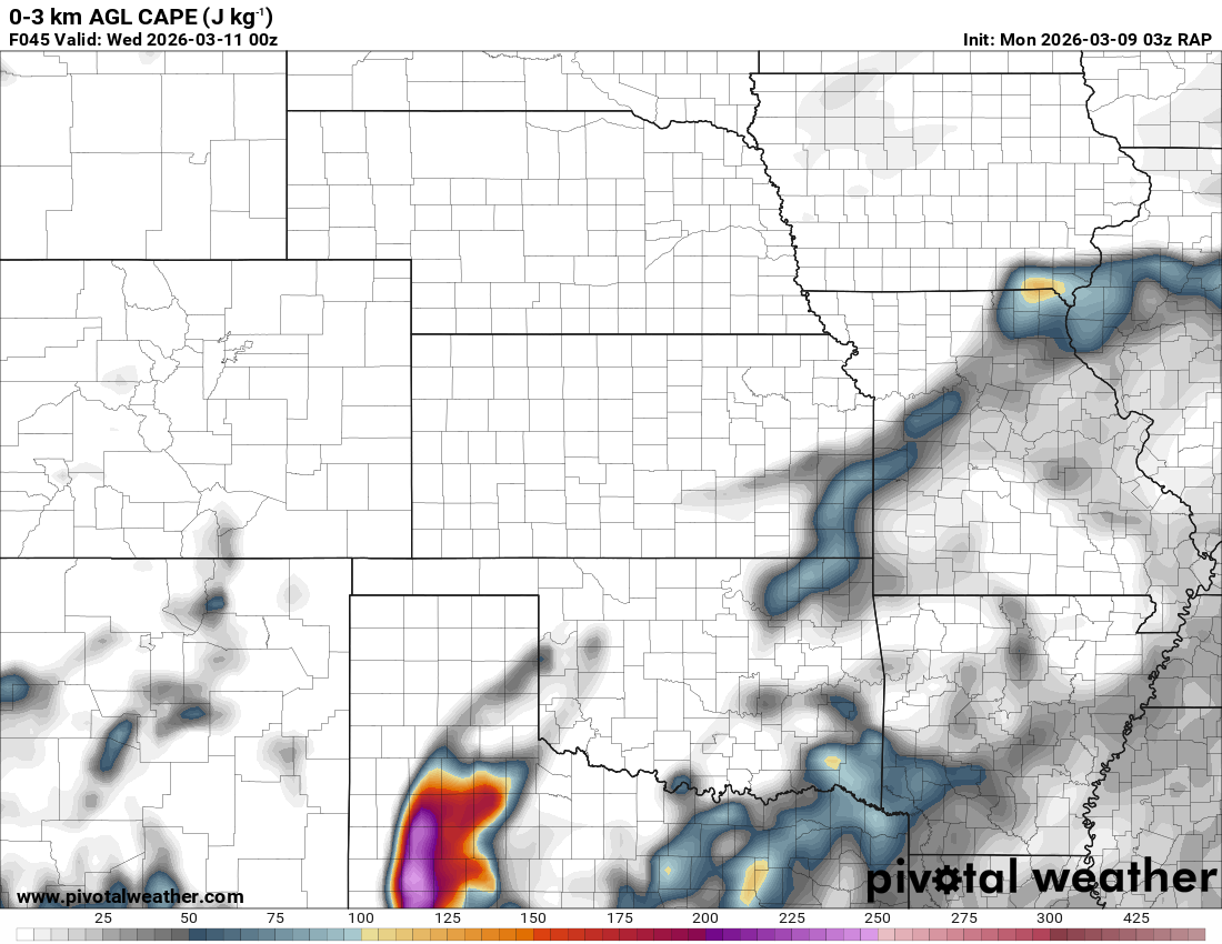
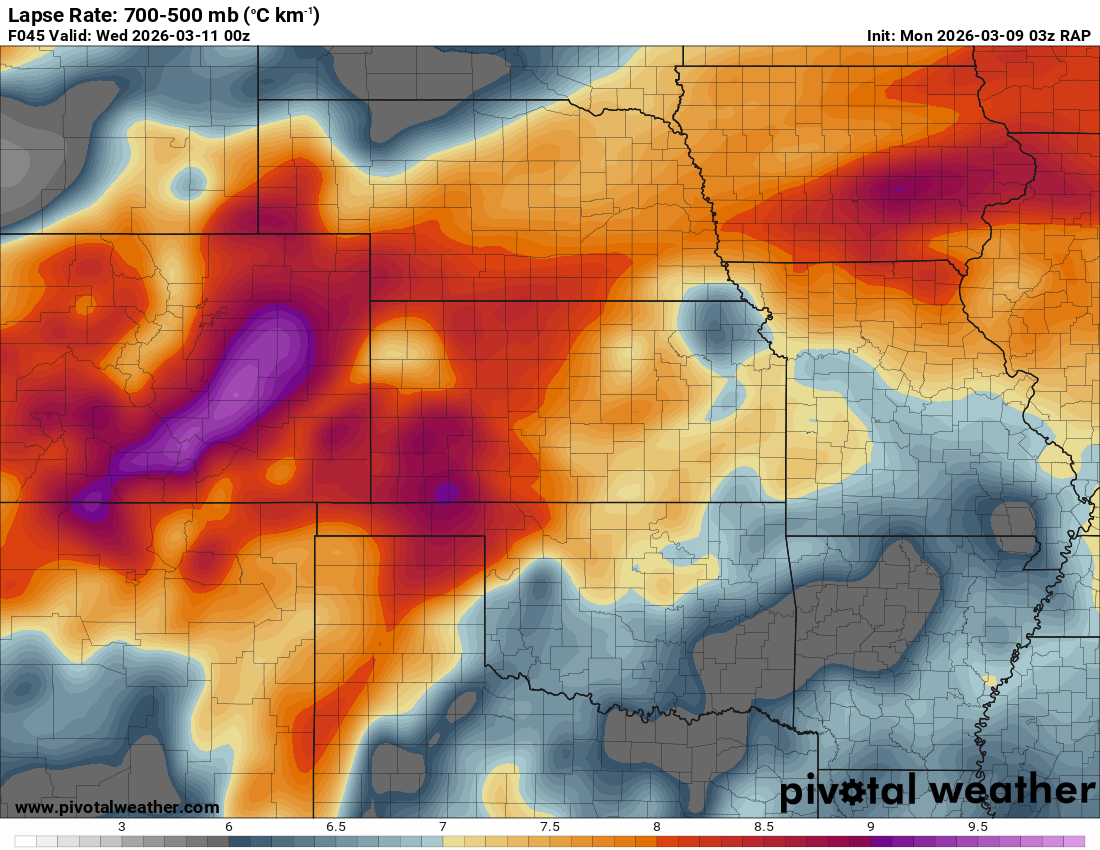
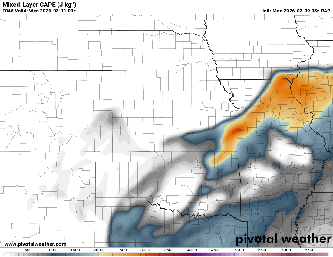
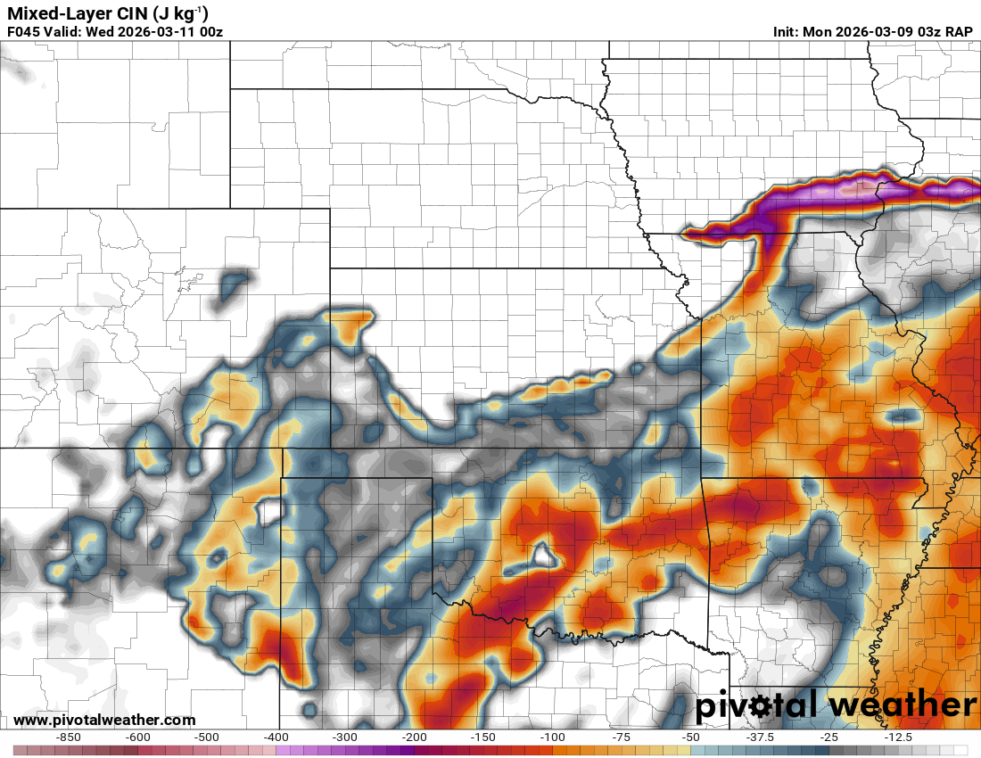
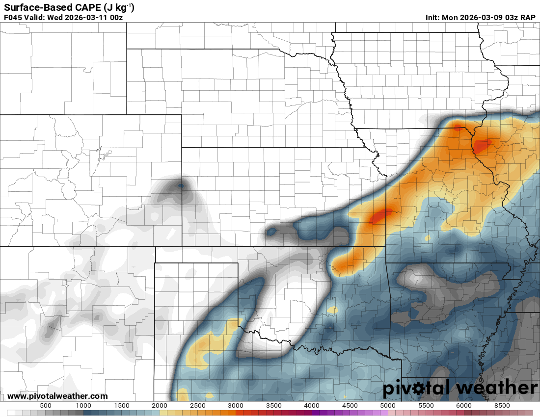
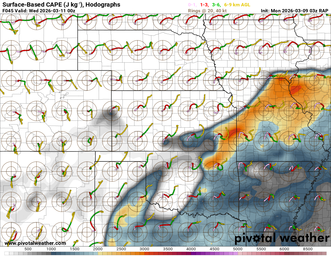
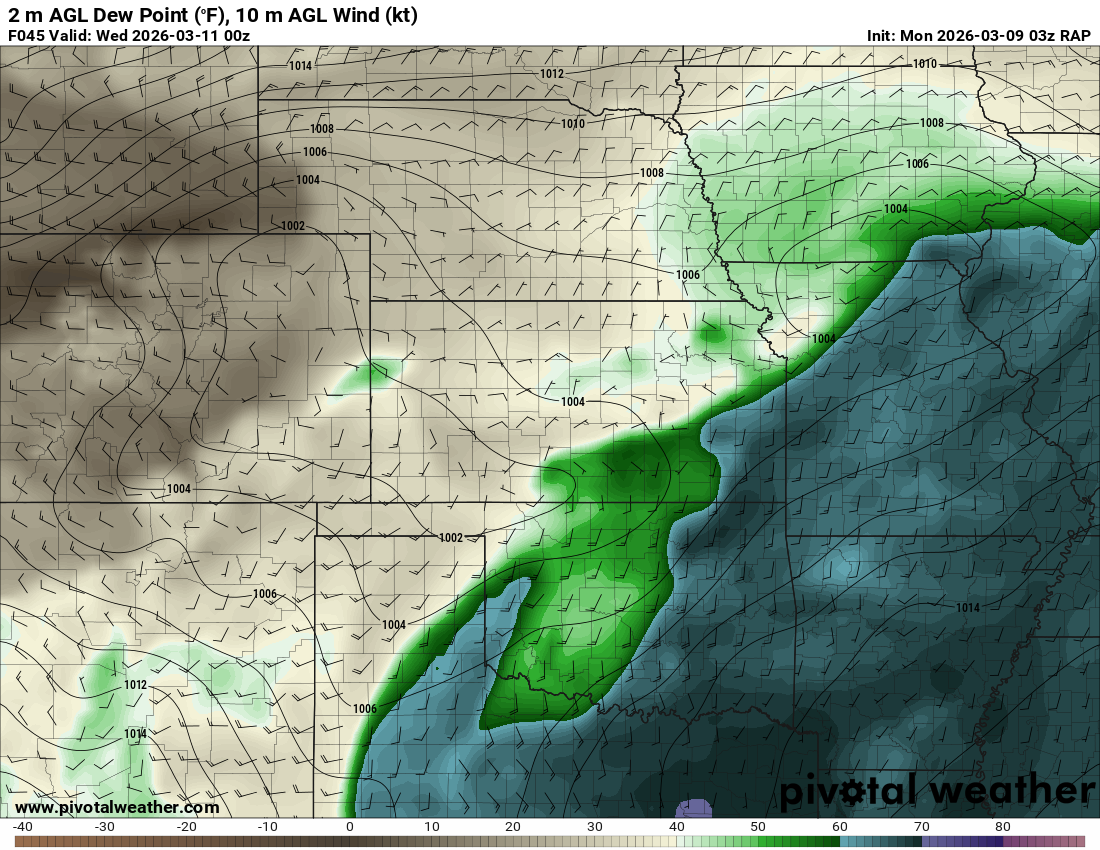
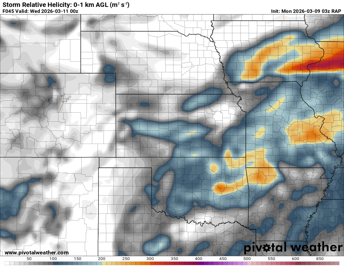
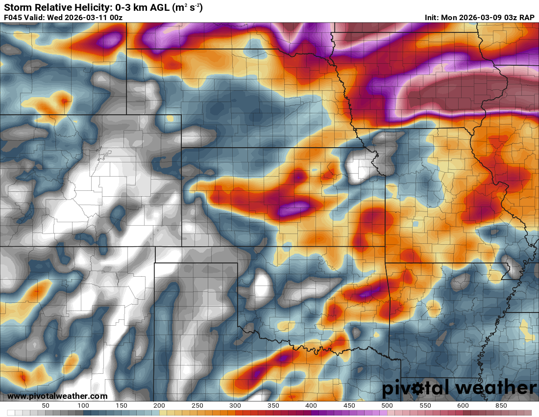
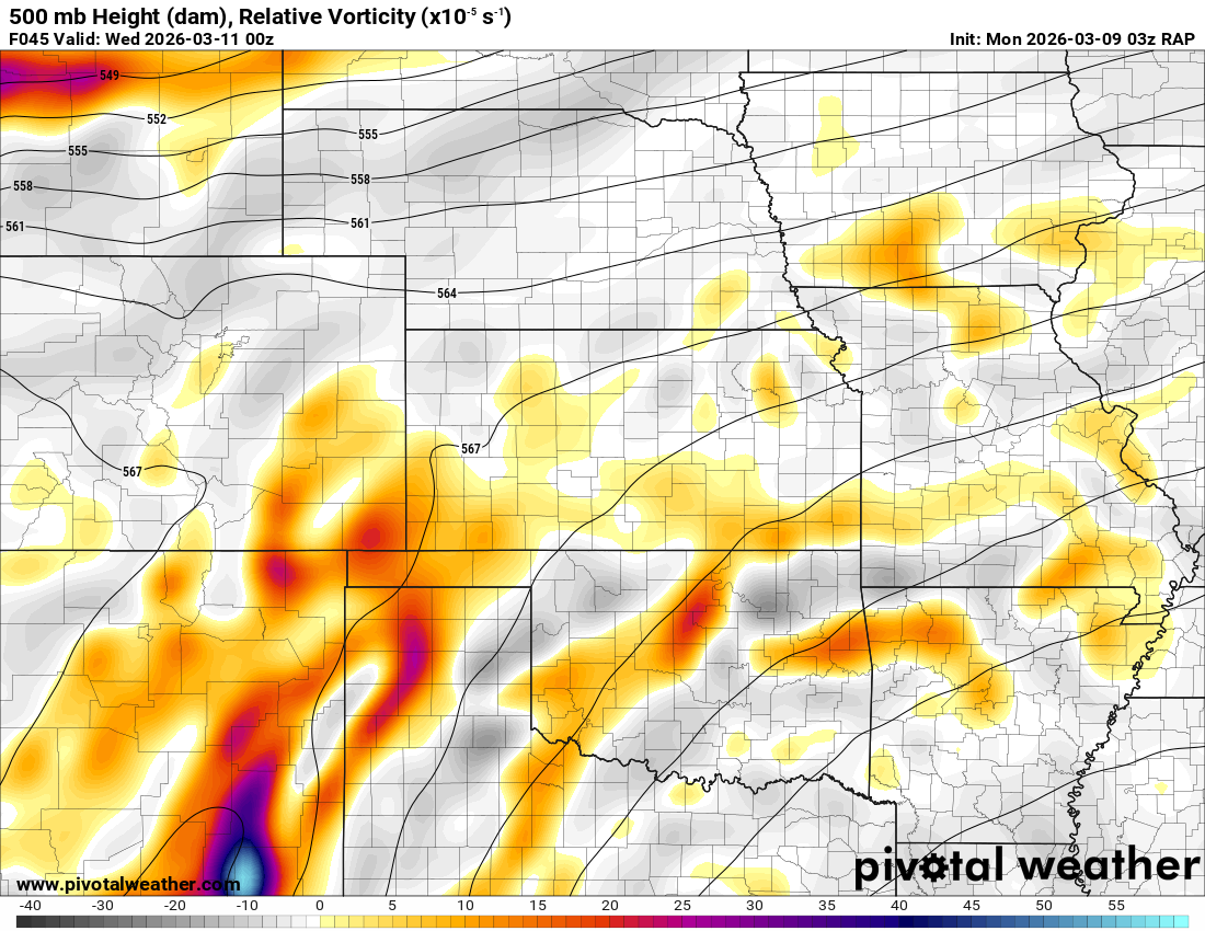
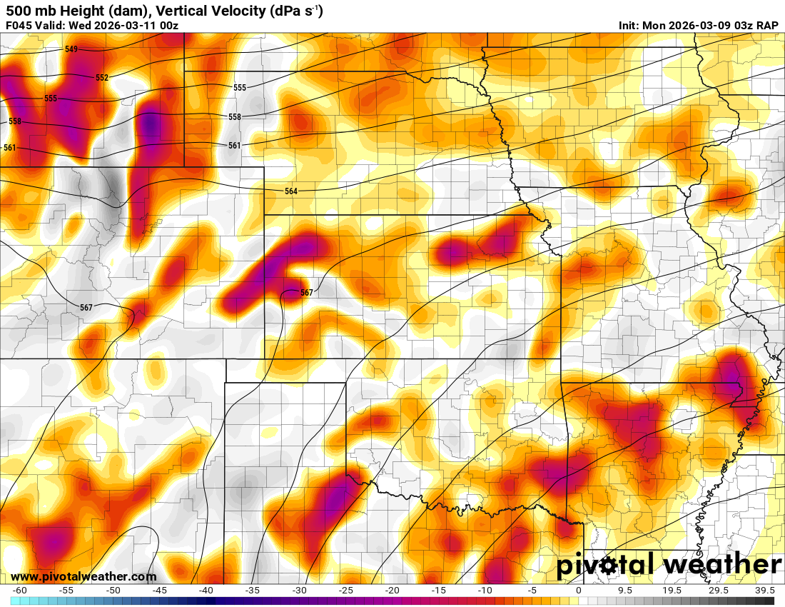
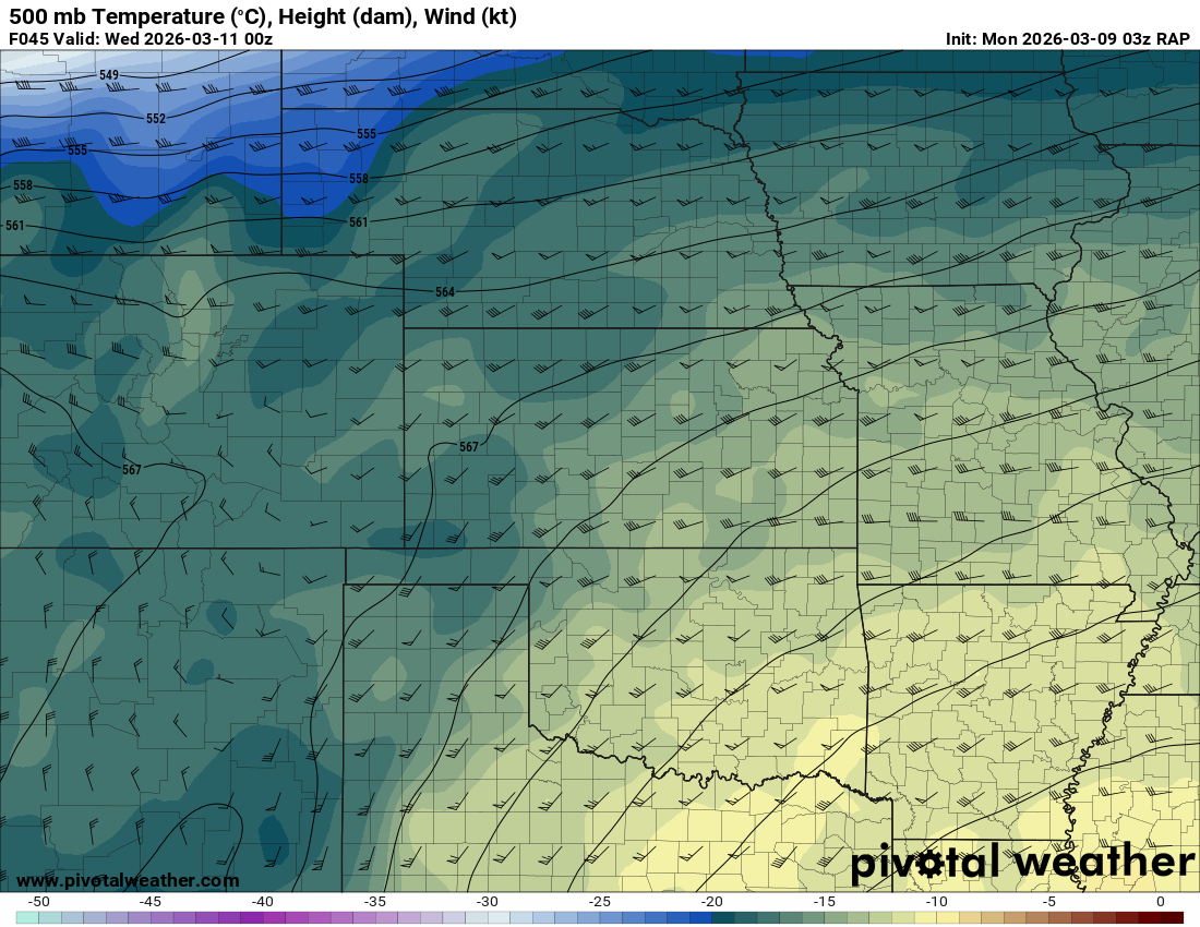
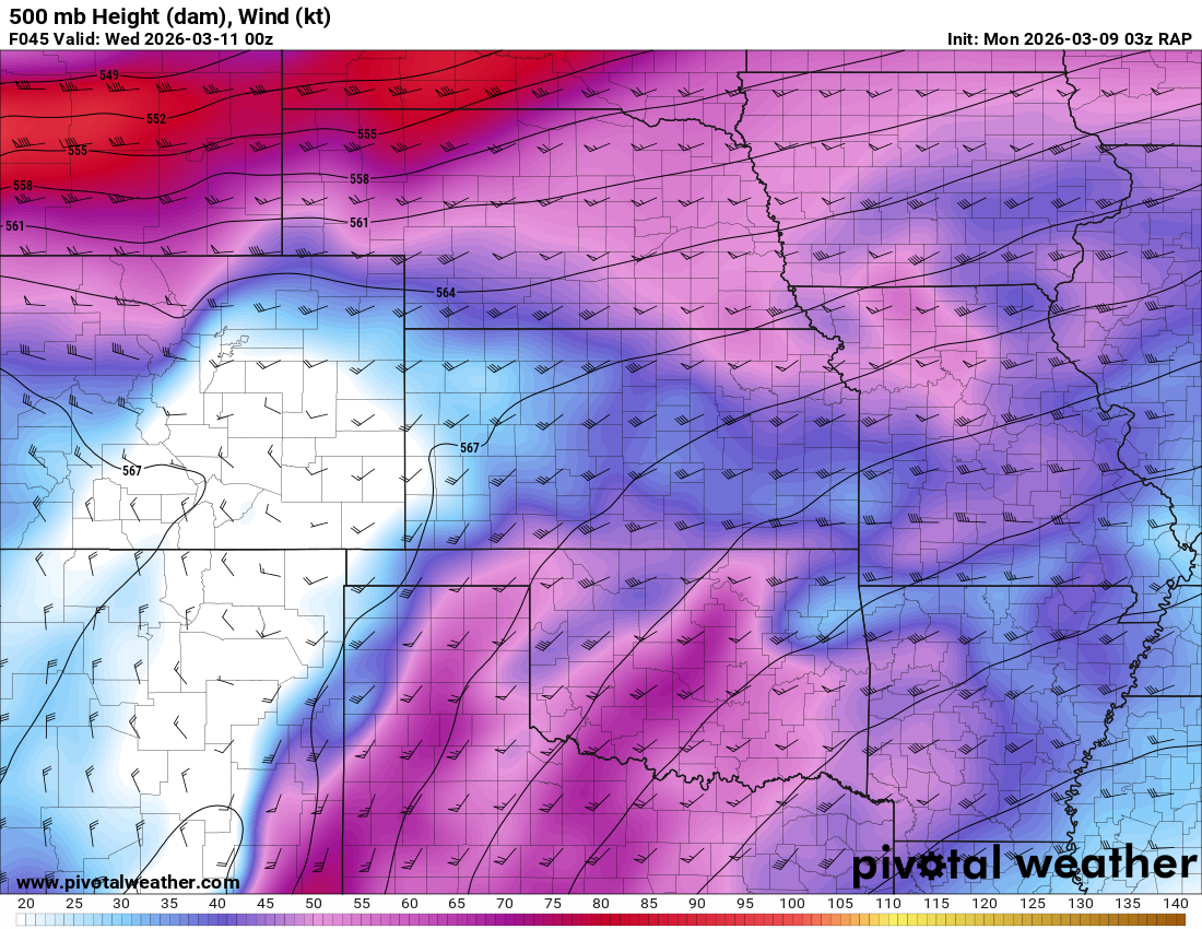
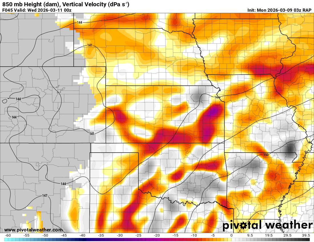
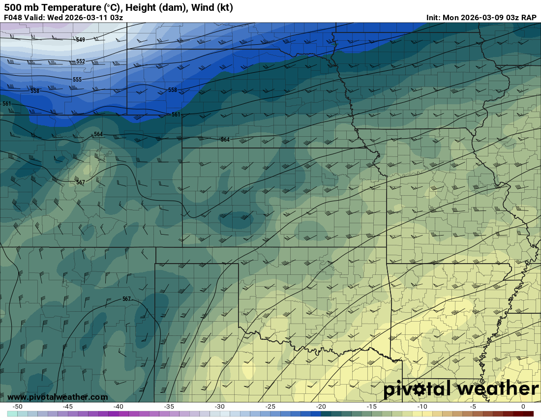
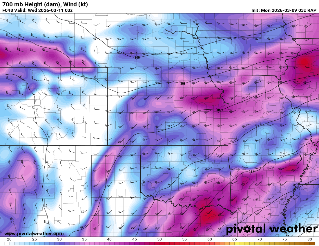
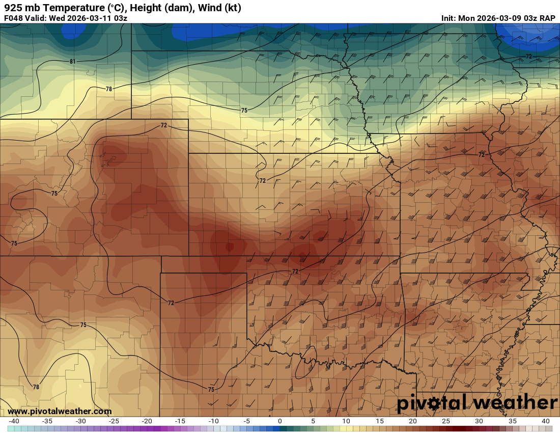
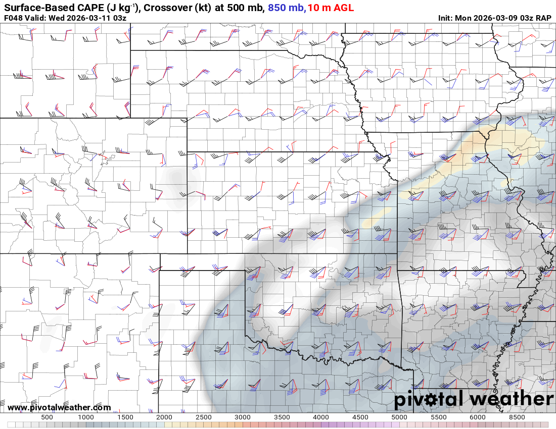
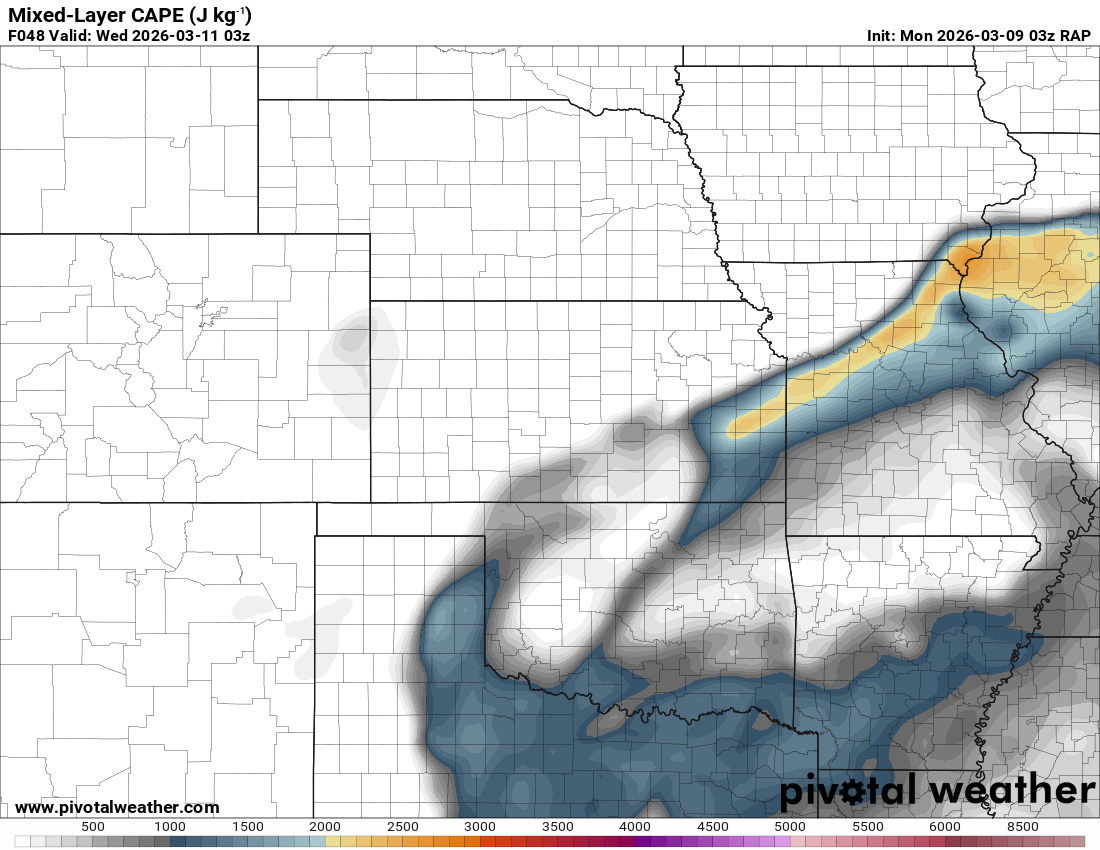
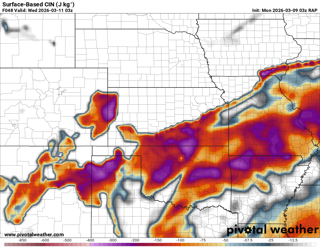

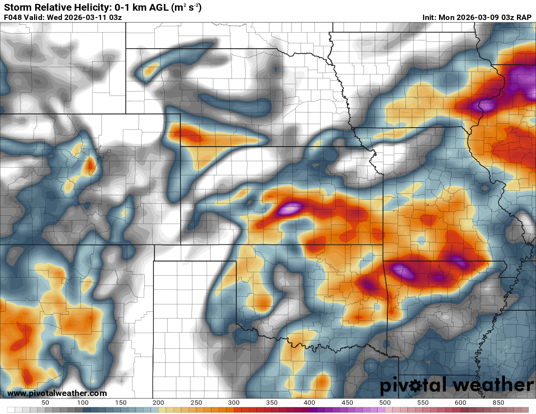
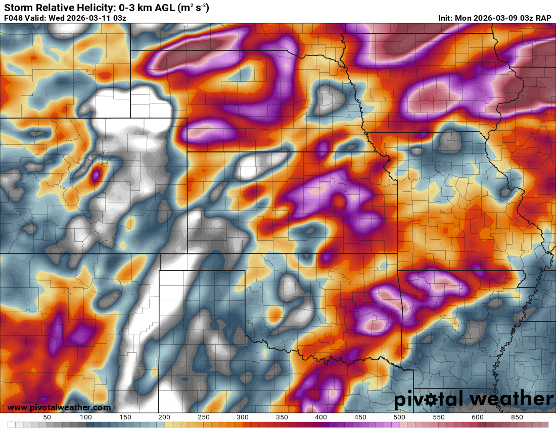
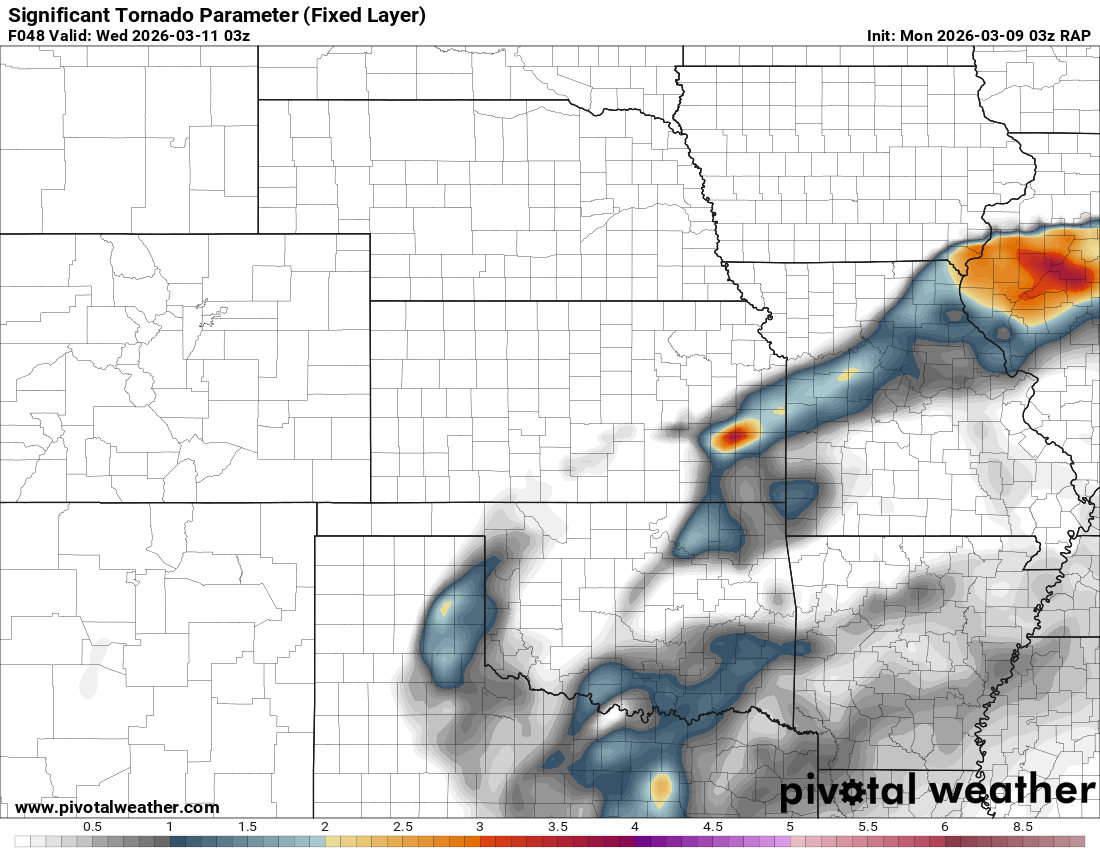
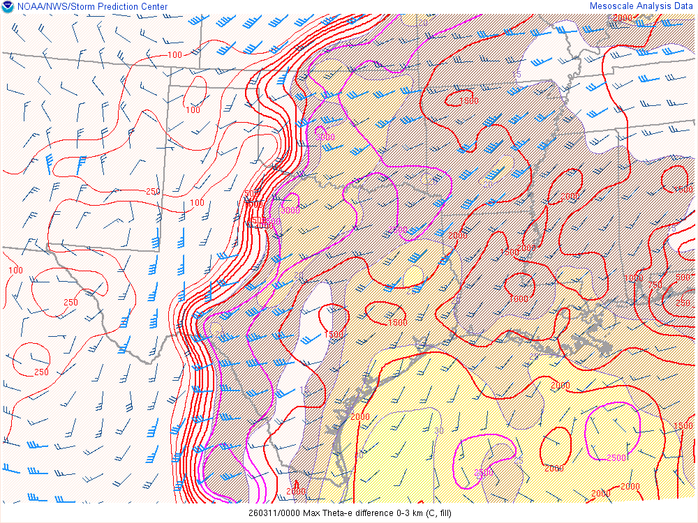
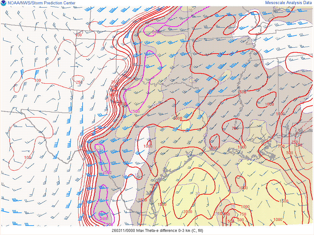
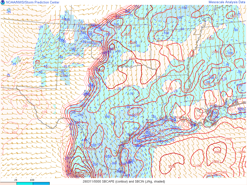
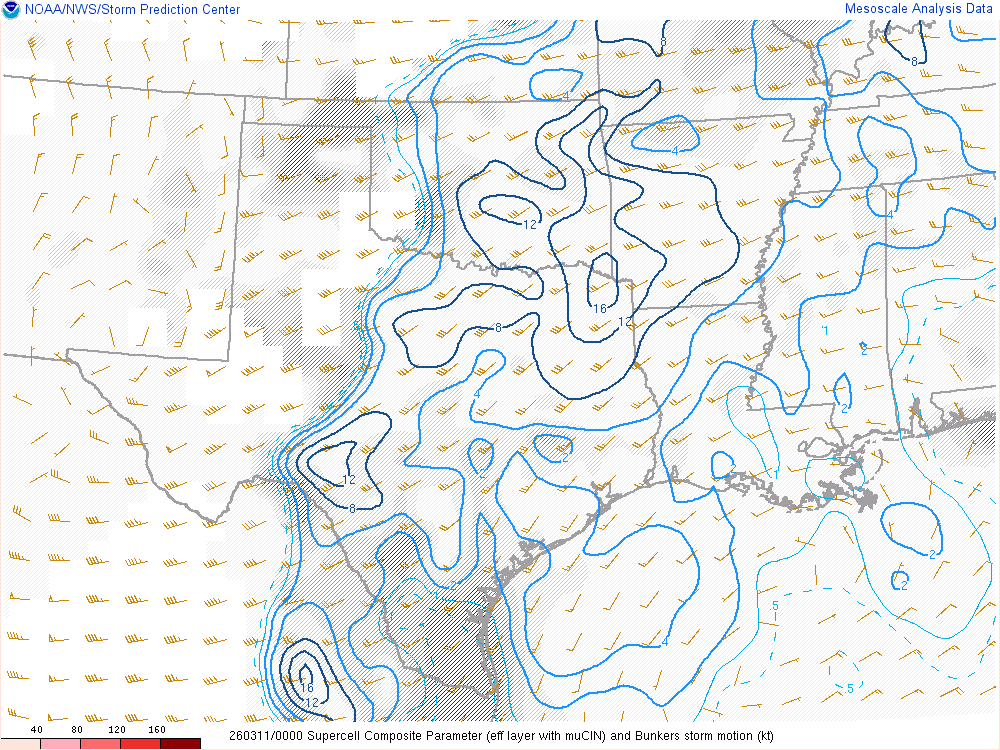
As it turned out, the stabilizing convection was not ongoing and would provide a reasonably moist and unstable atmosphere across Central and Southern Oklahoma.
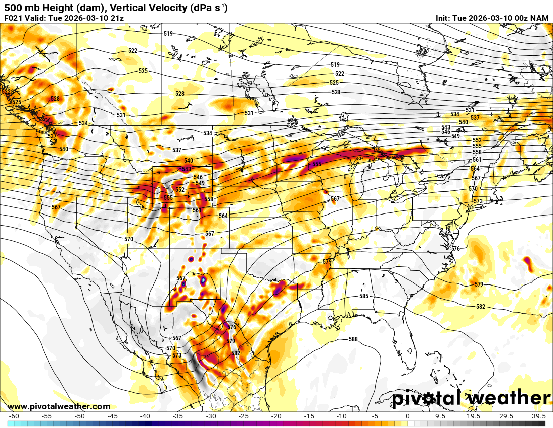
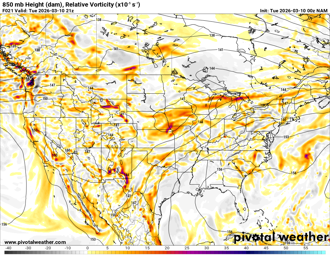
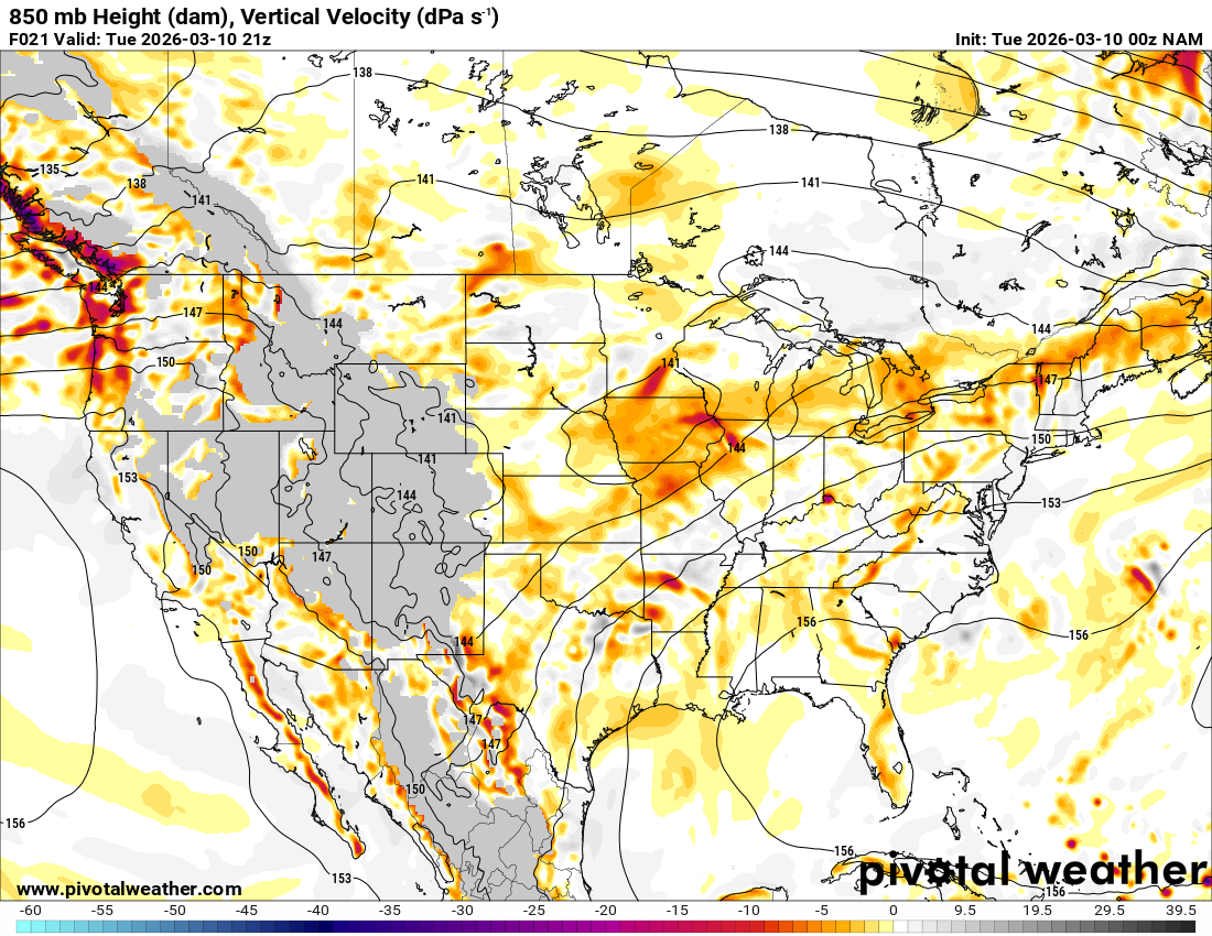
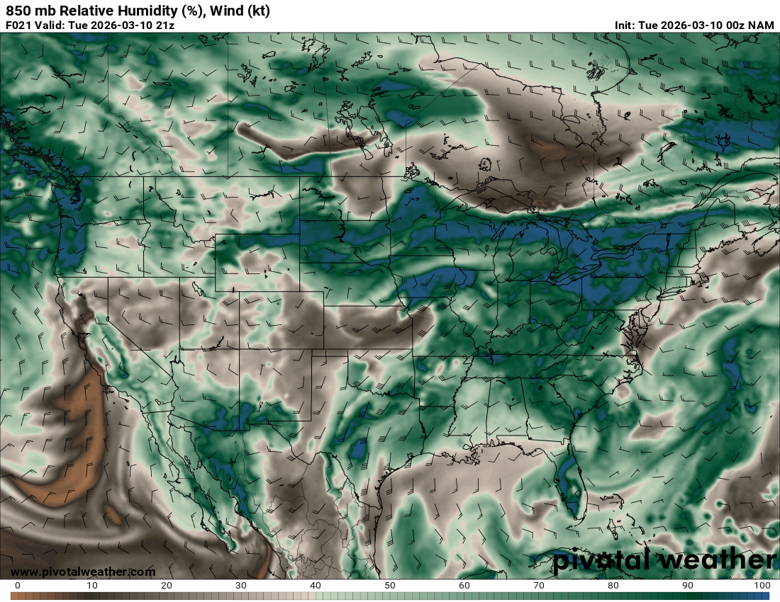
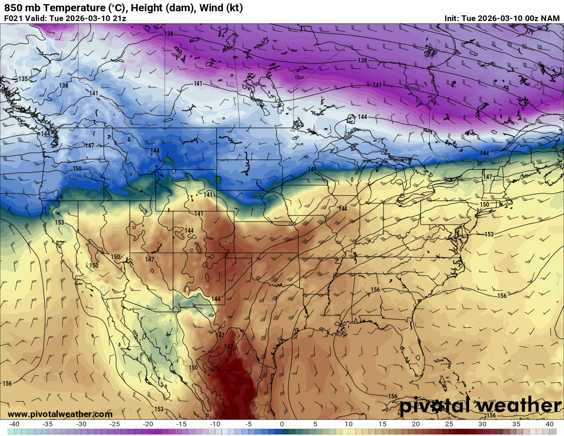
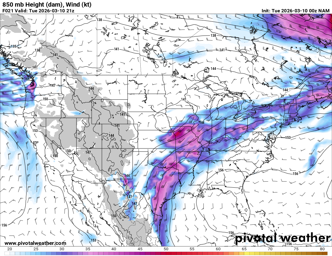
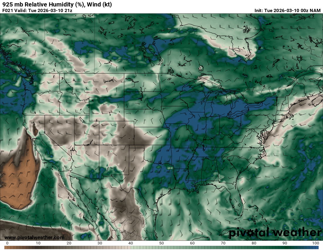
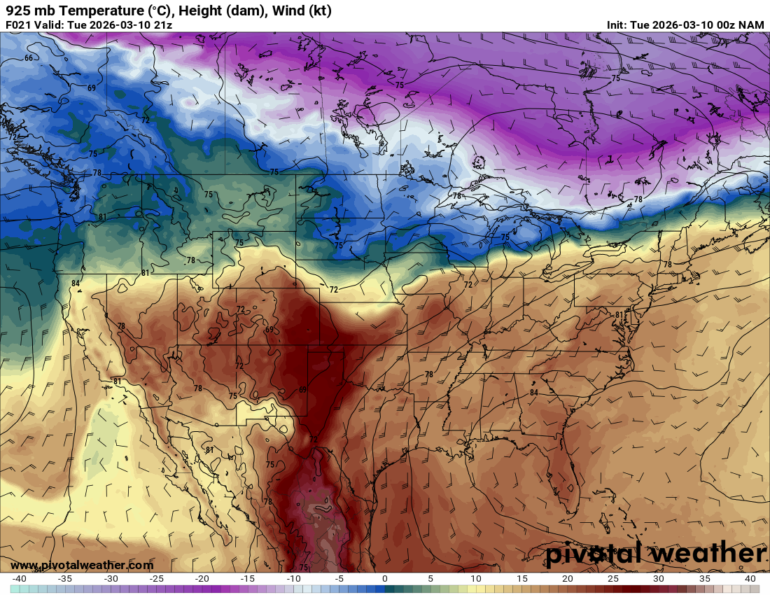
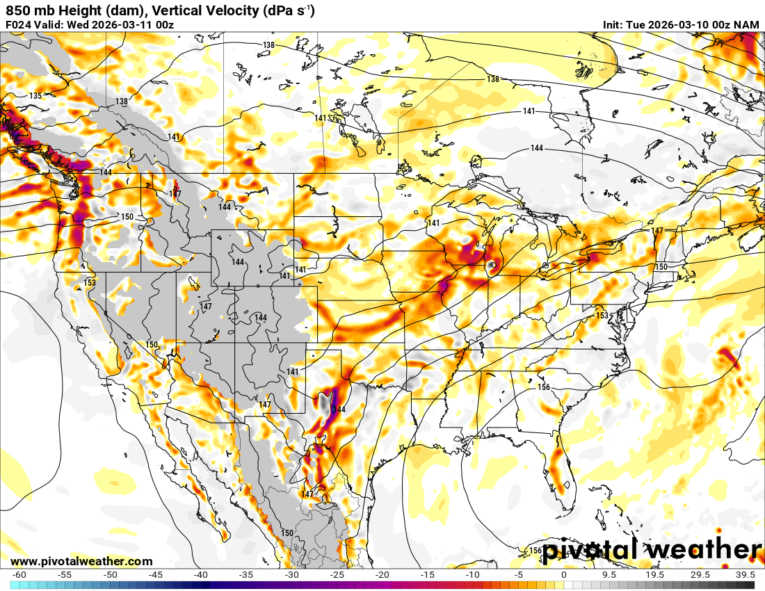
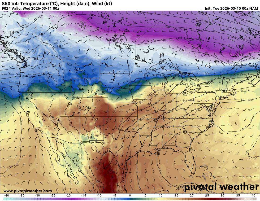
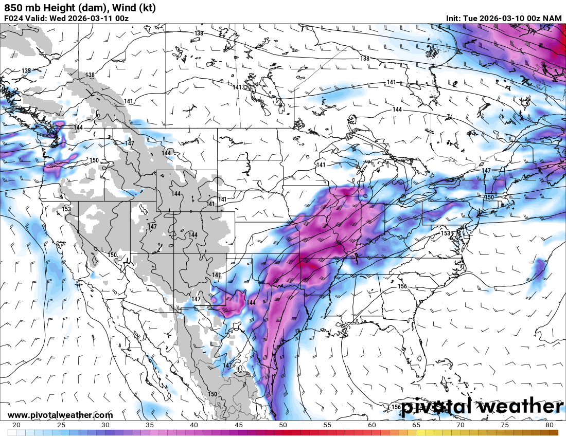
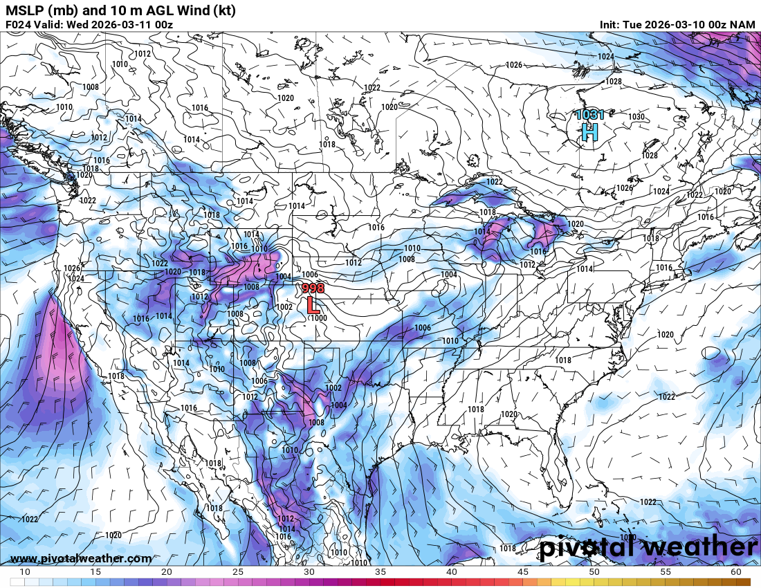
00Z NAM (7pm CDT March 9, 2026)
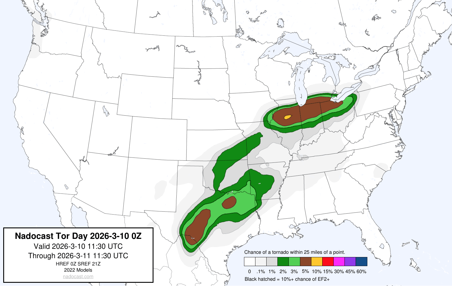
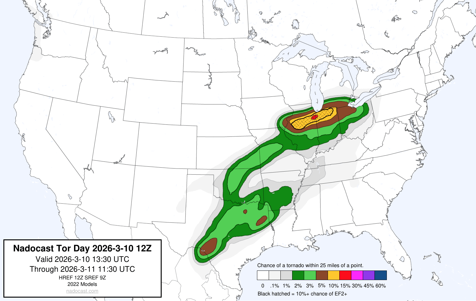
Nadocast for March 10, 2026
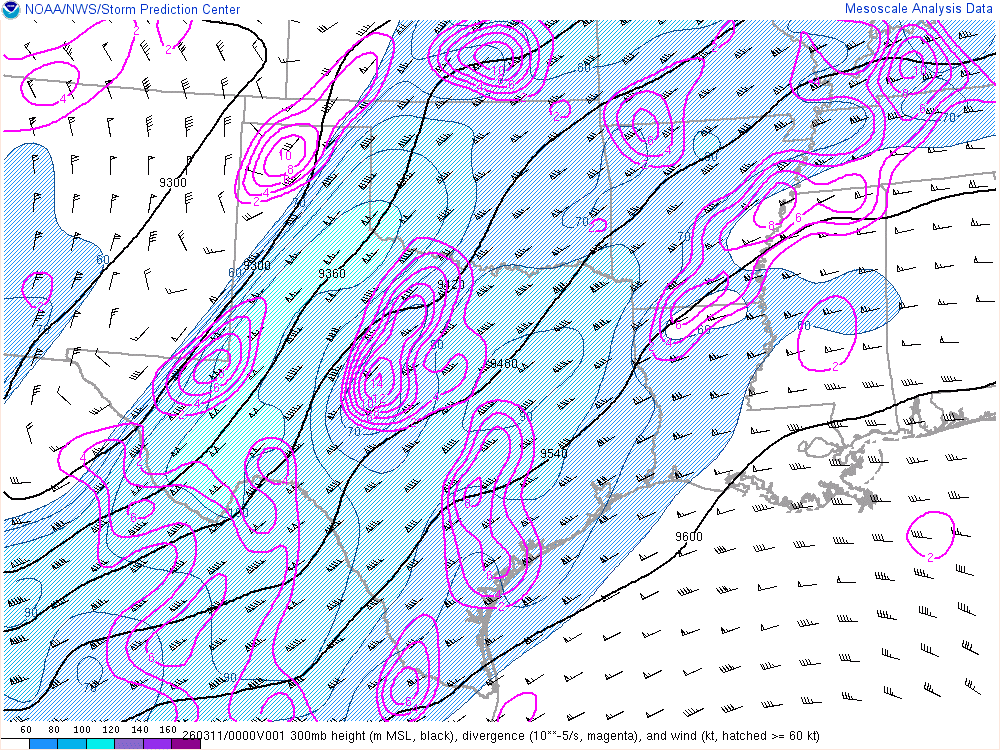
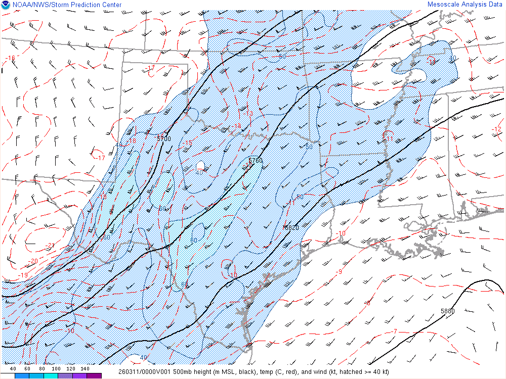
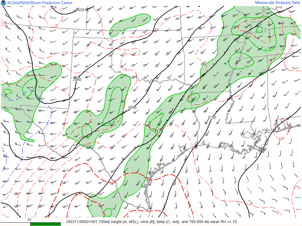
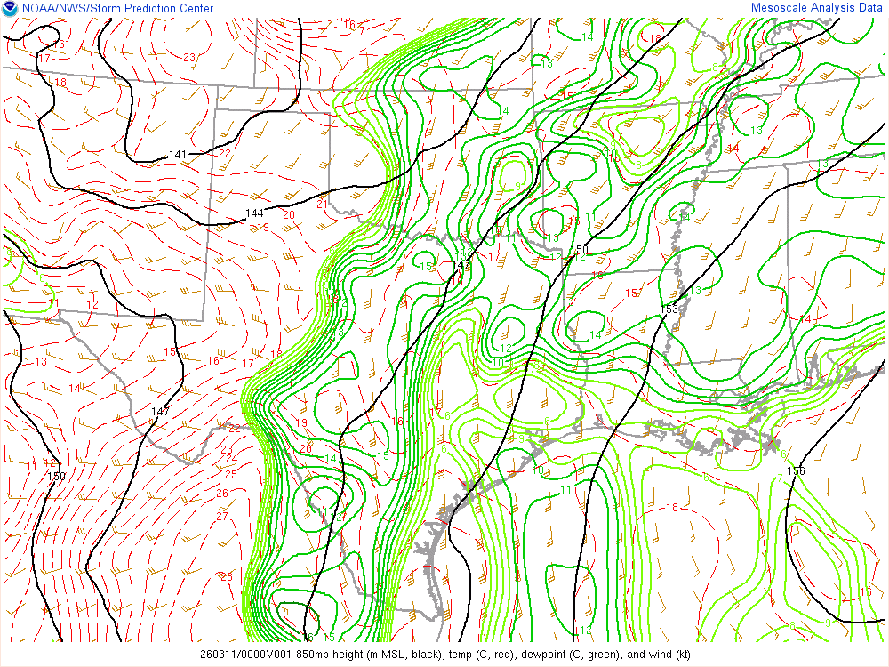
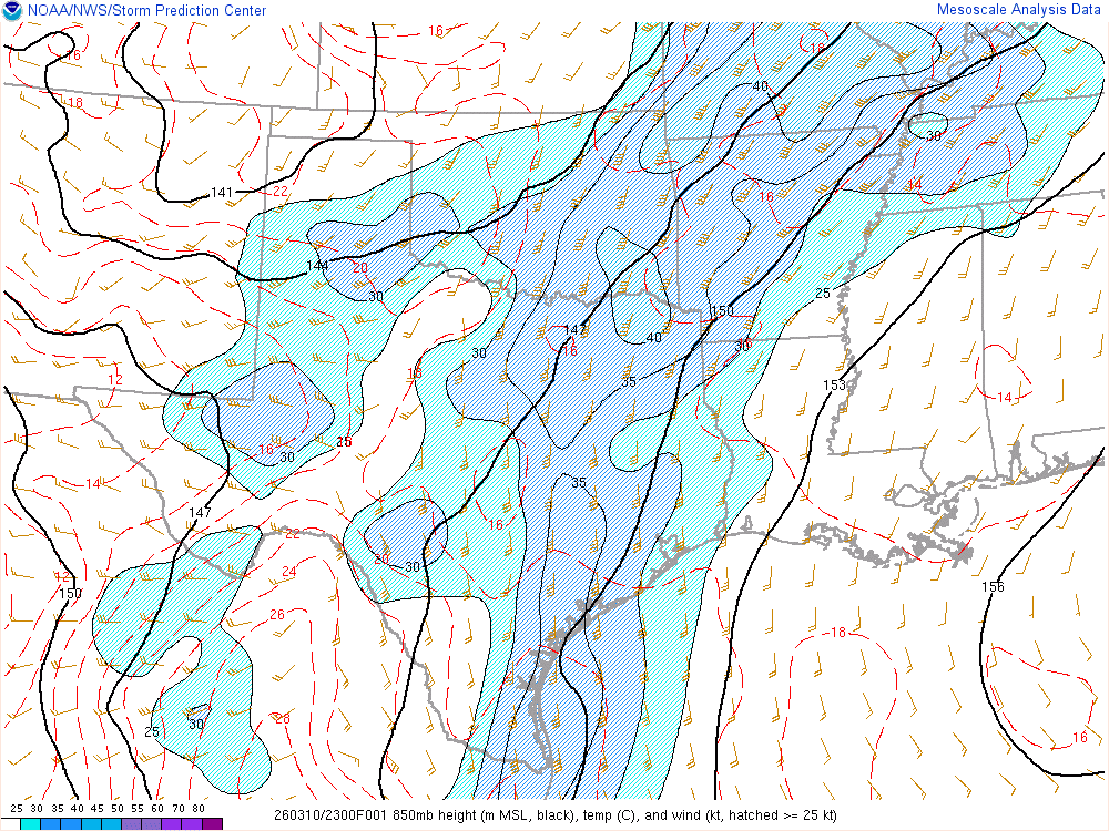
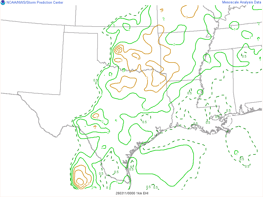
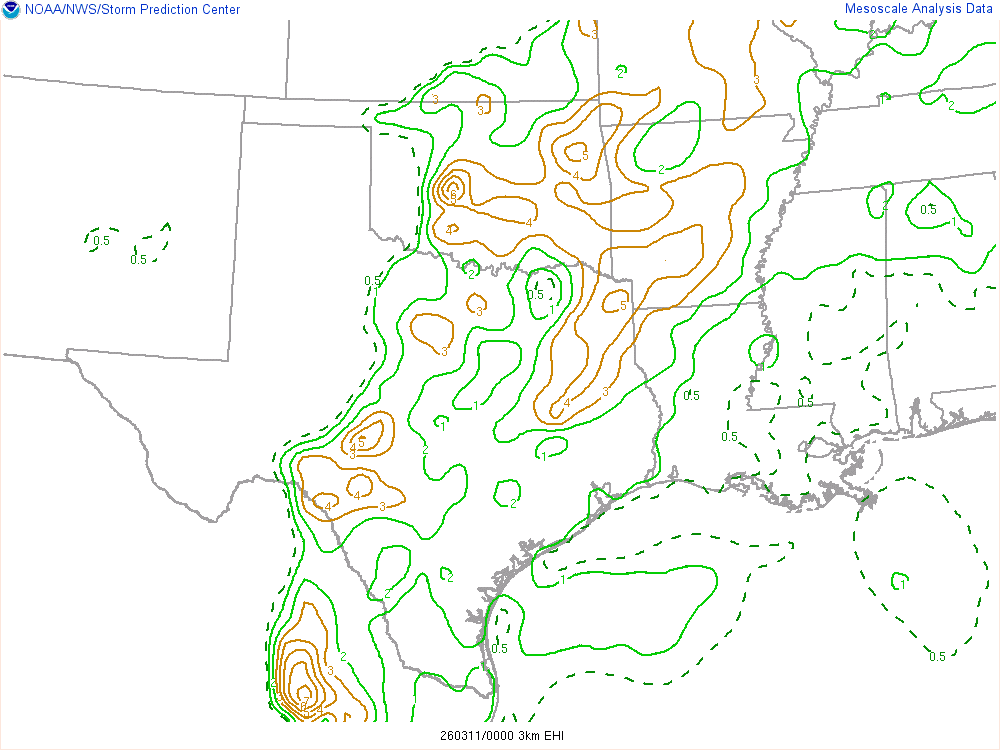
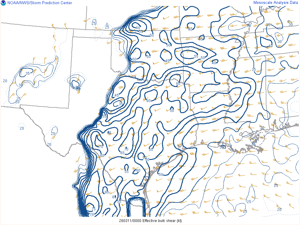
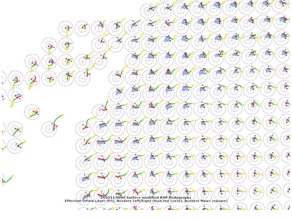
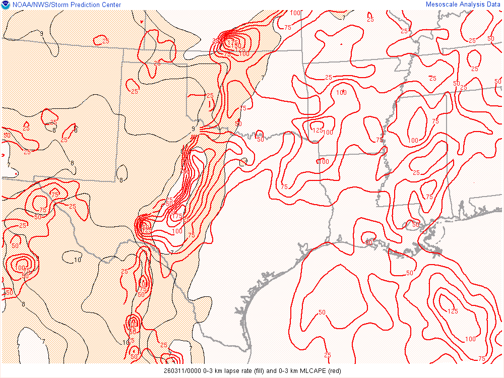
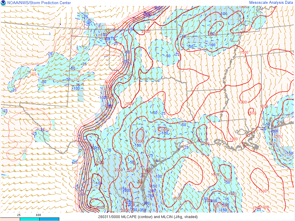
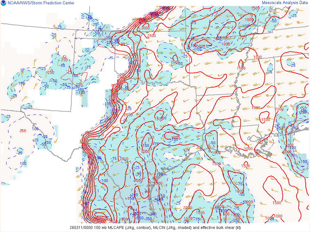
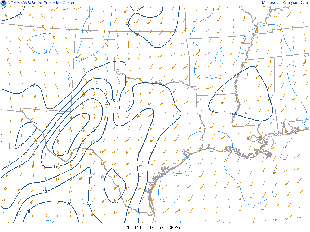
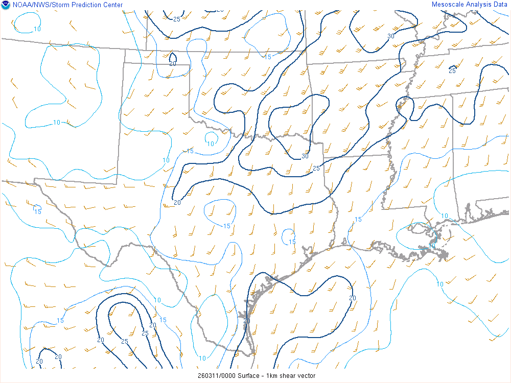
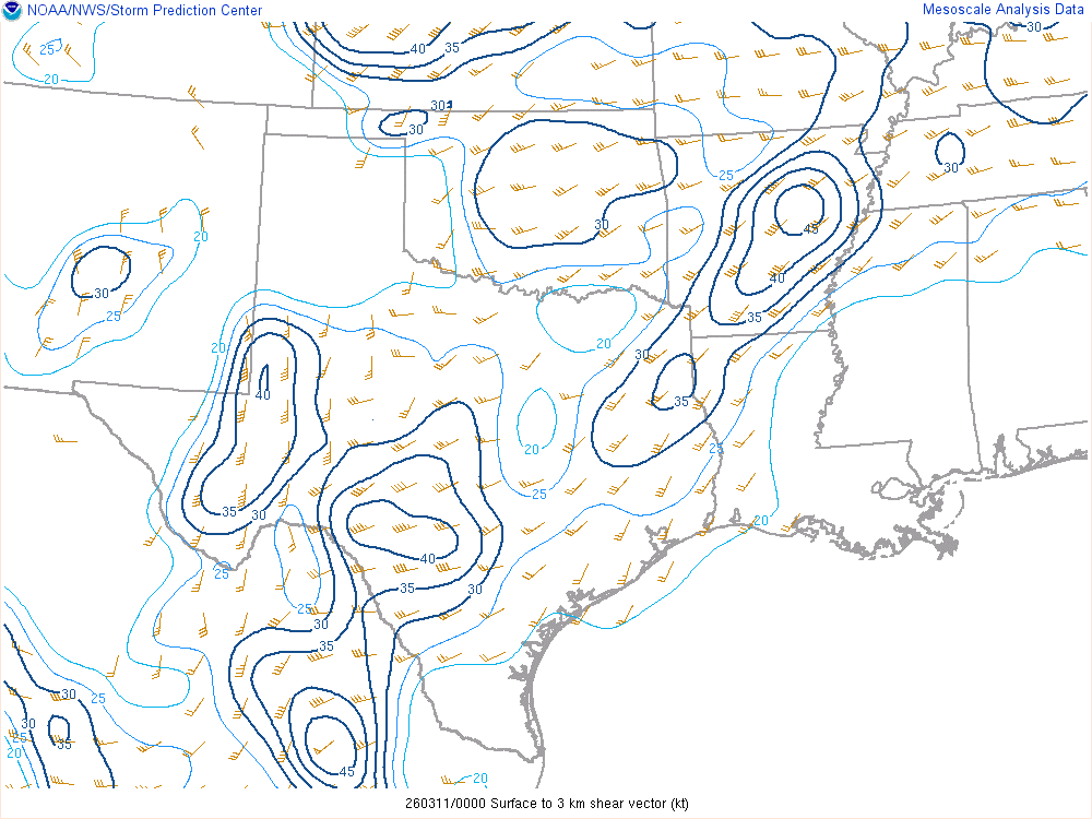
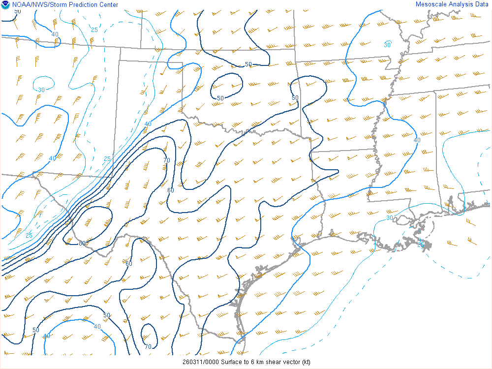
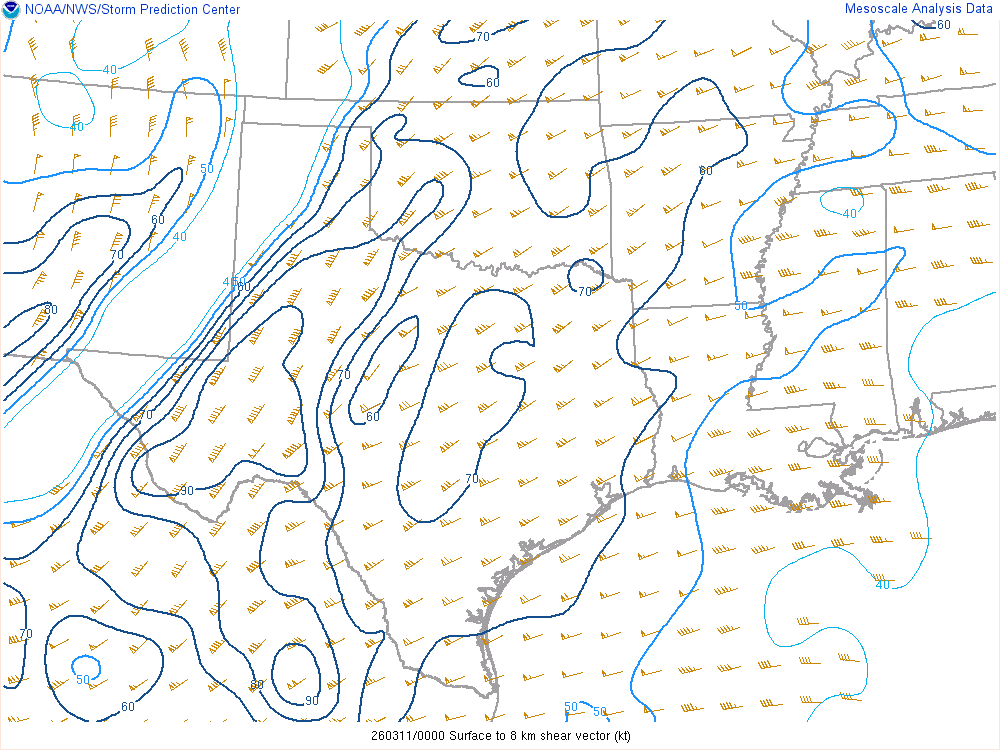
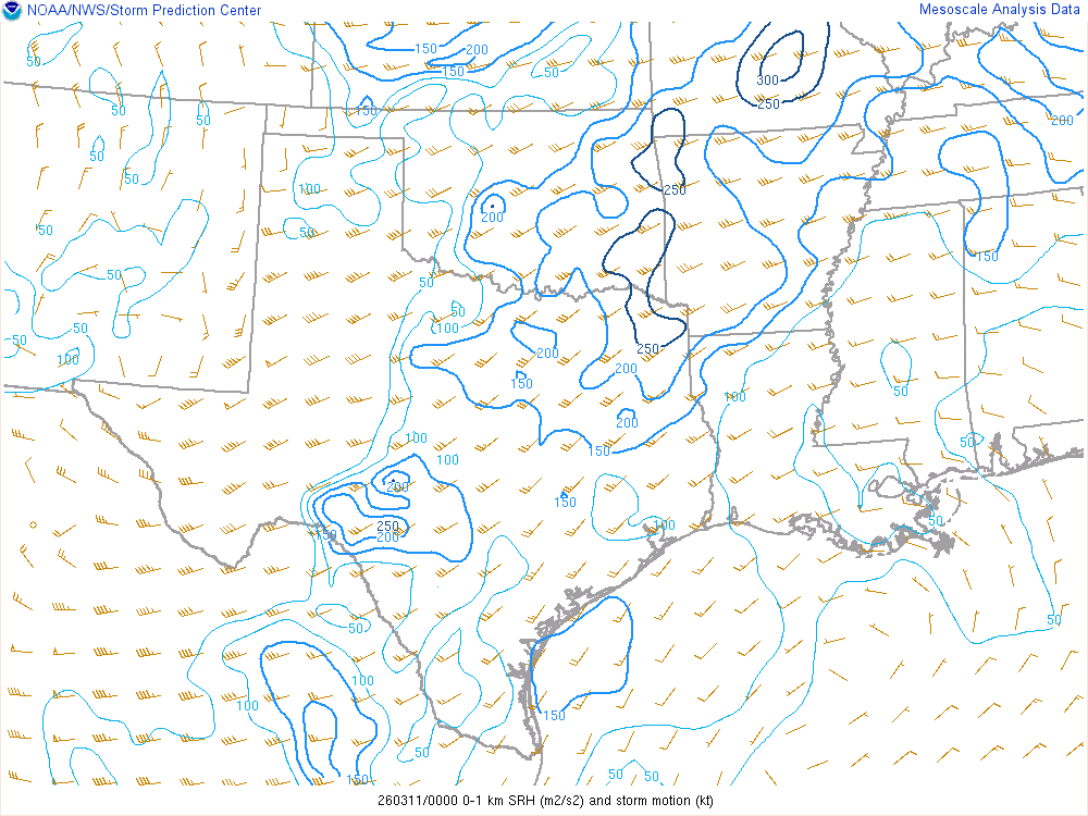
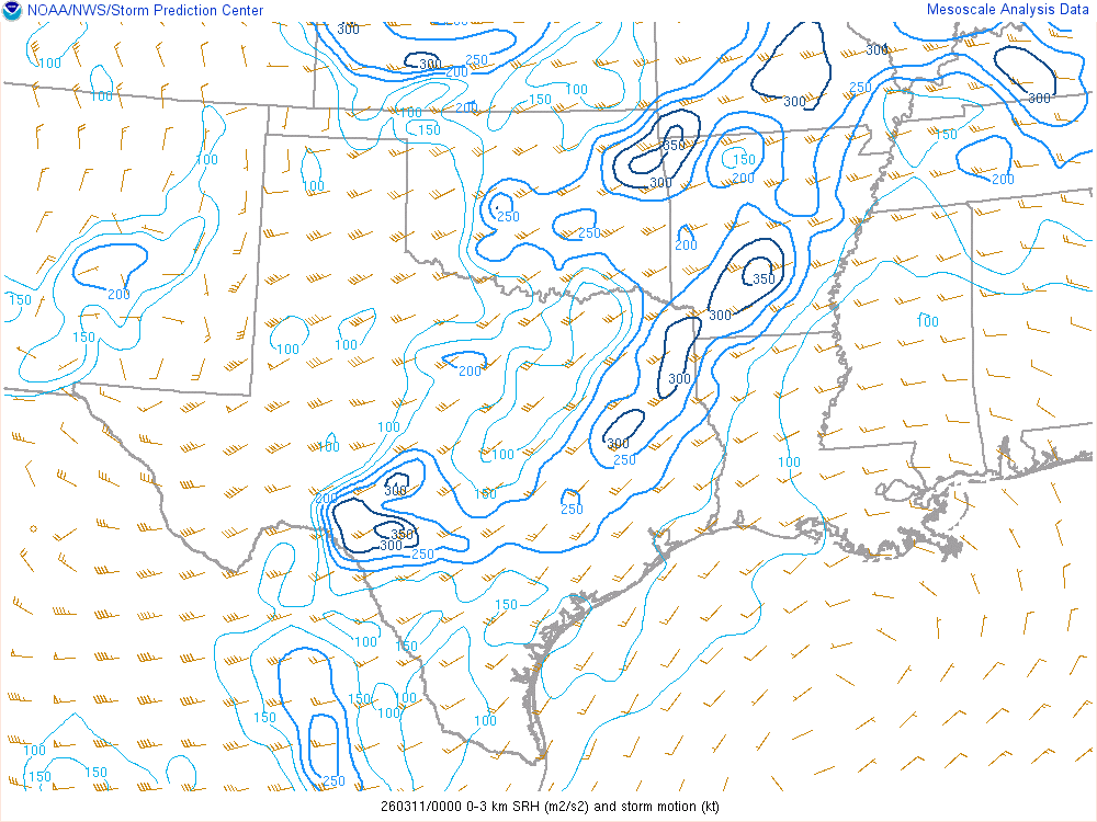
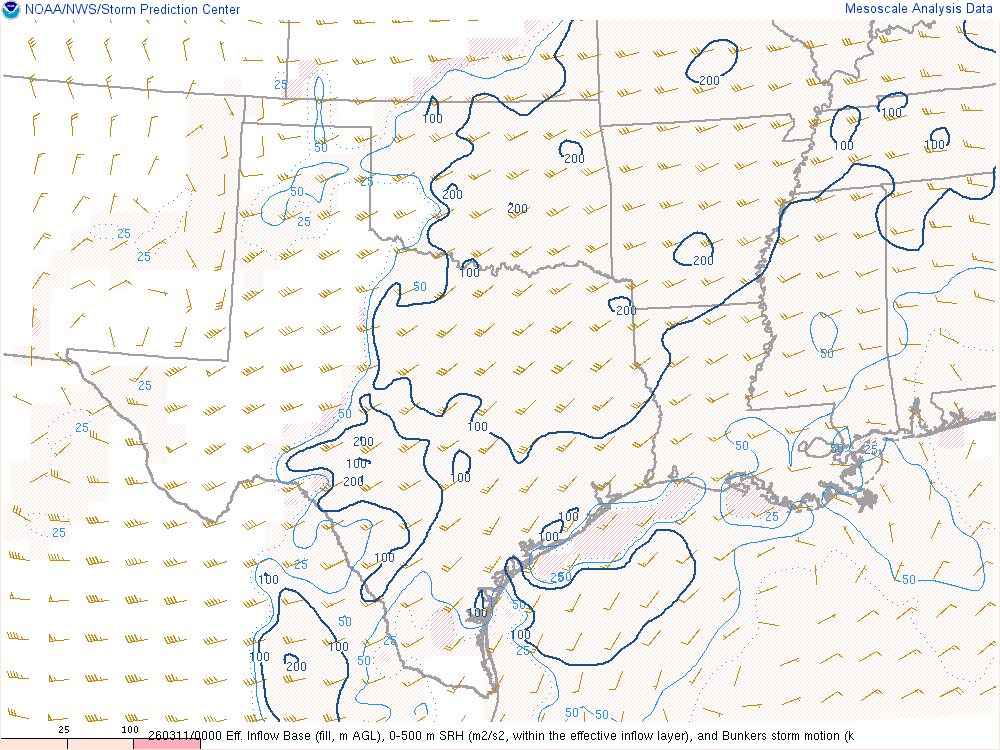
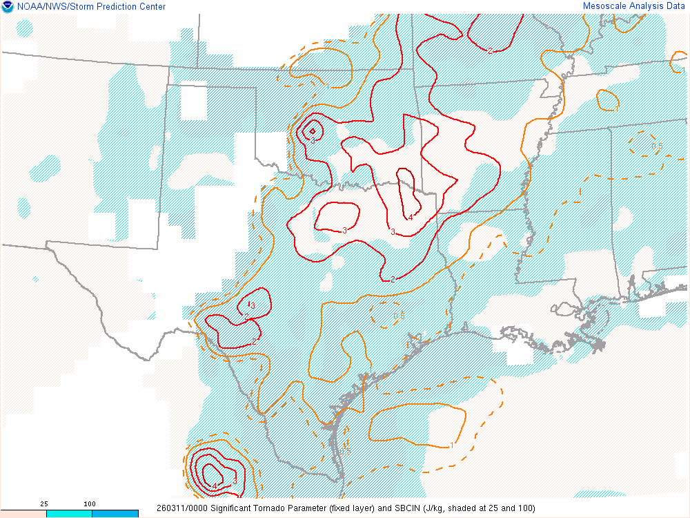
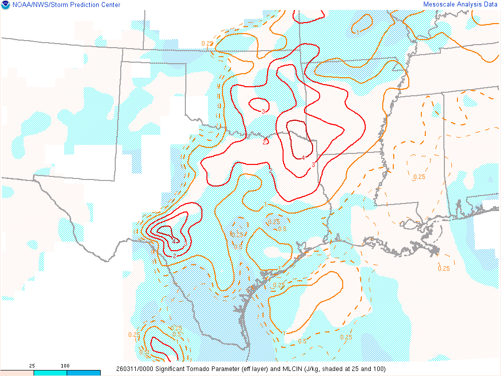
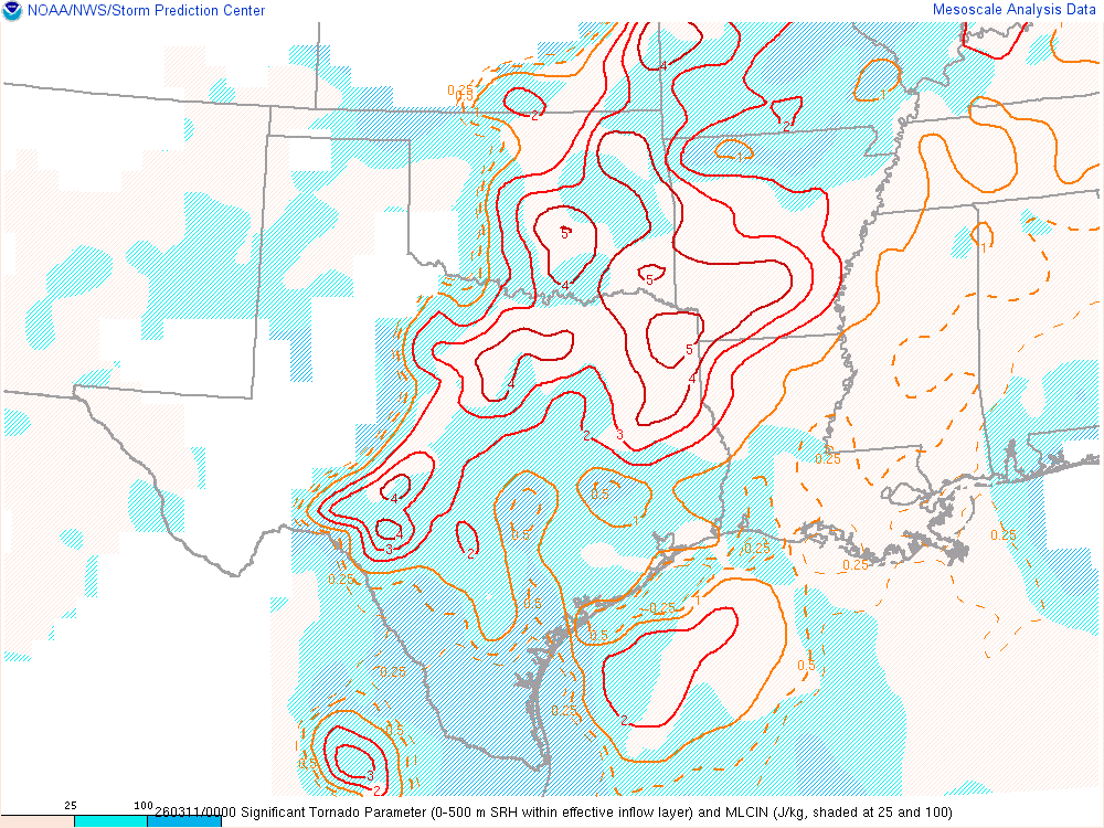
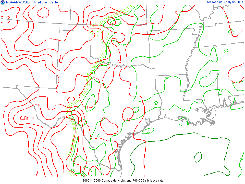
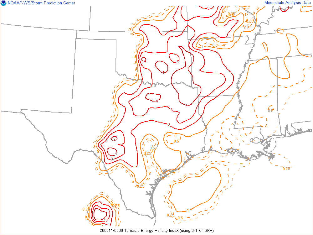
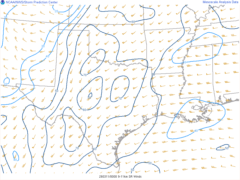
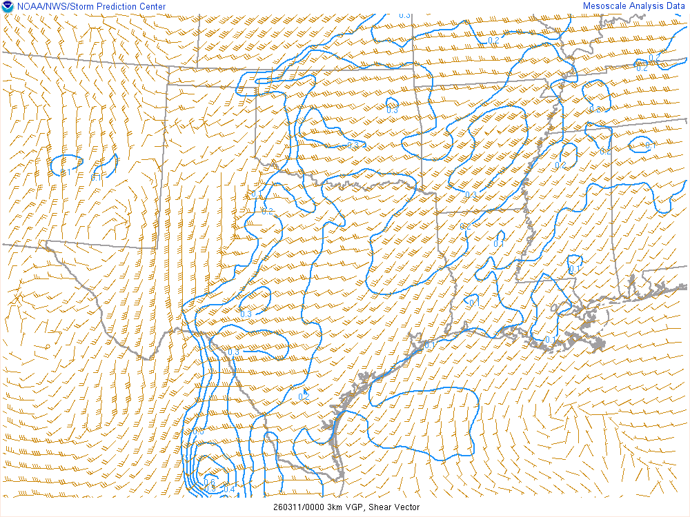
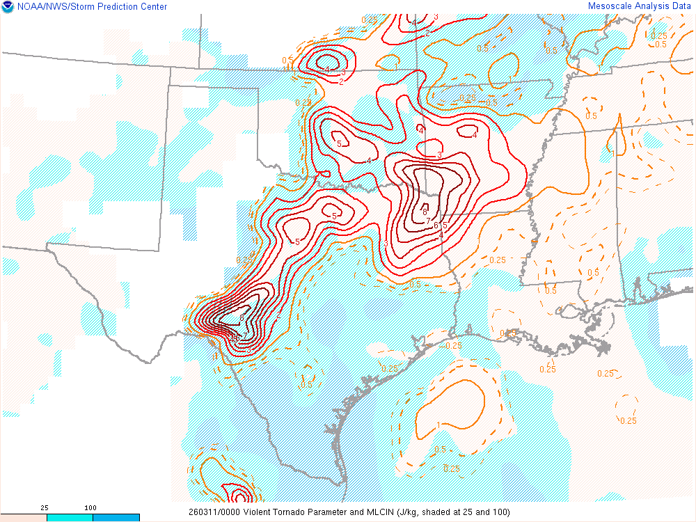
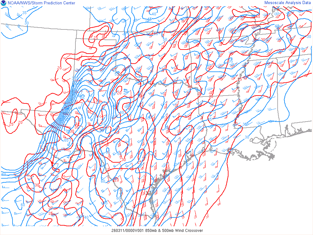
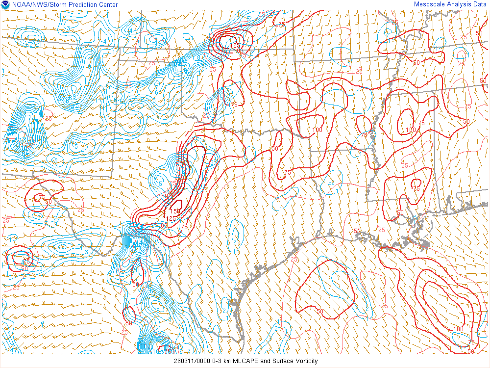
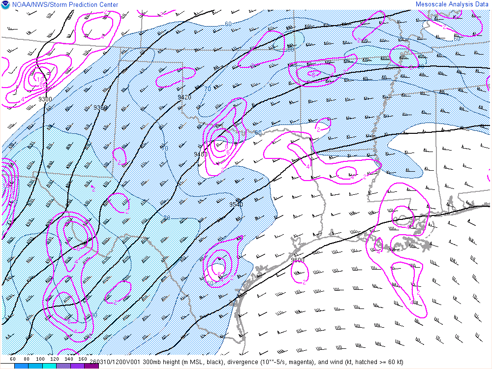
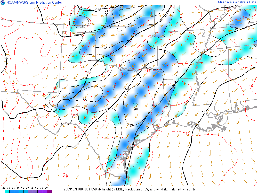
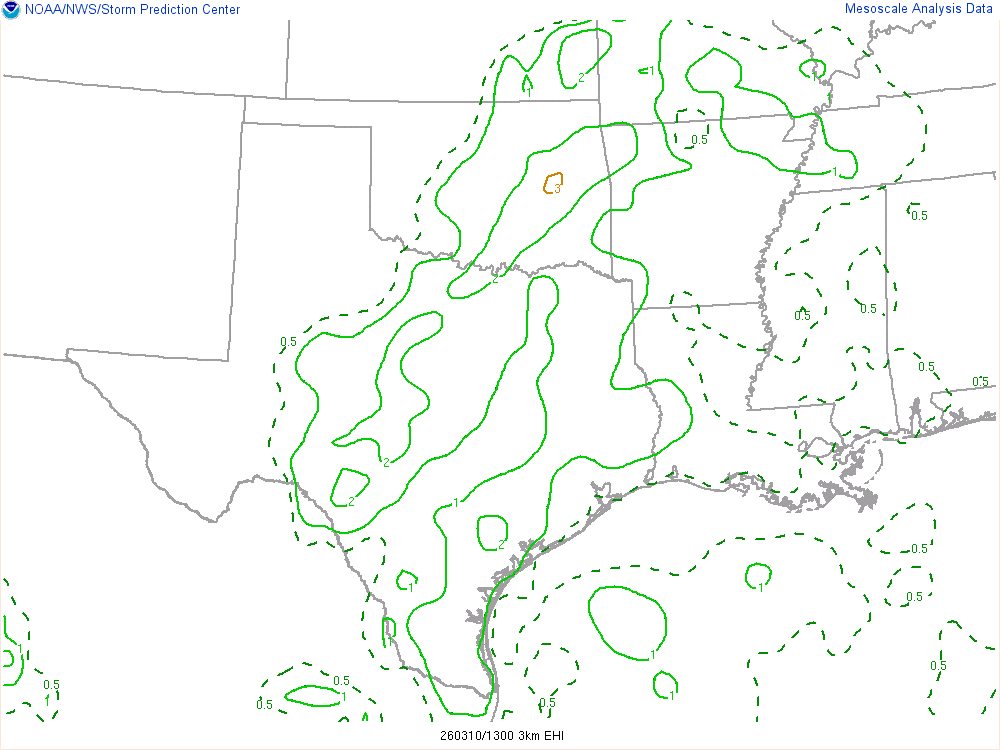
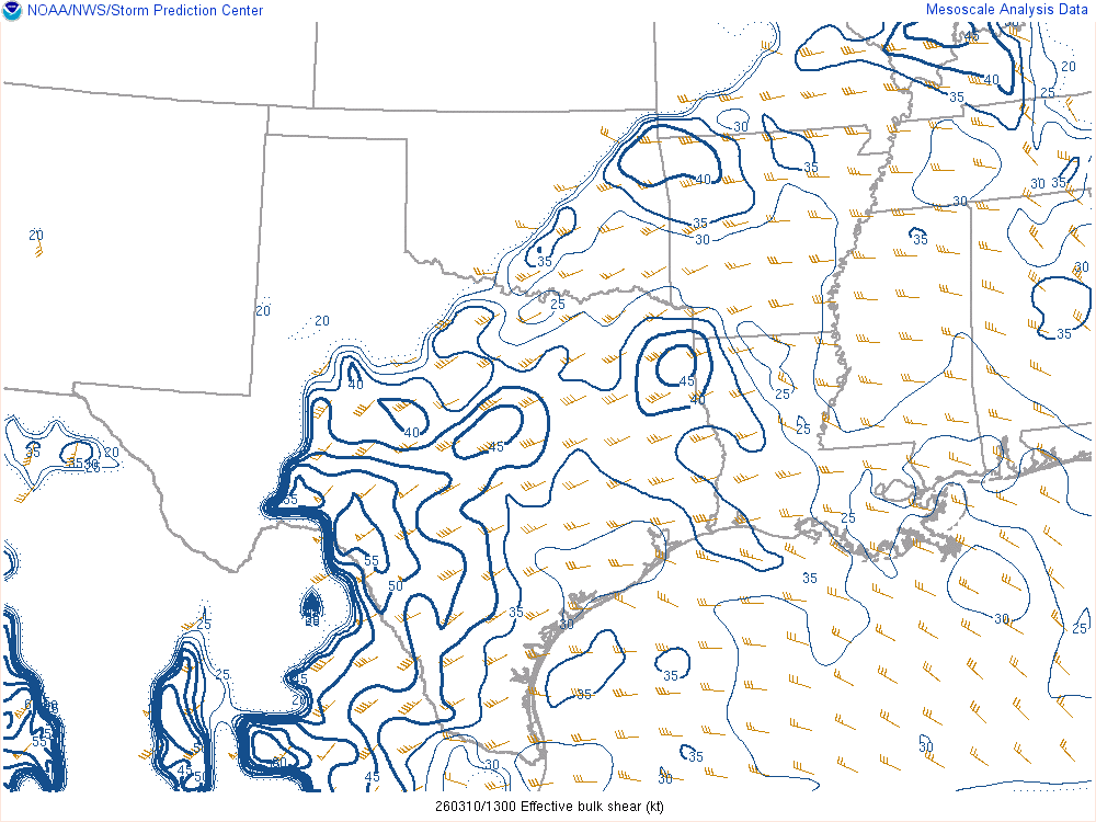
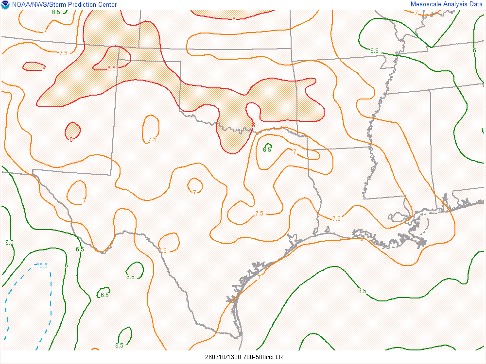
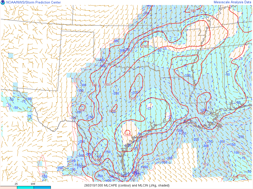
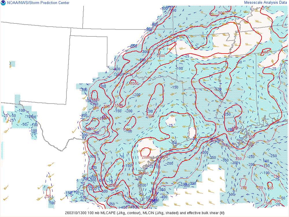
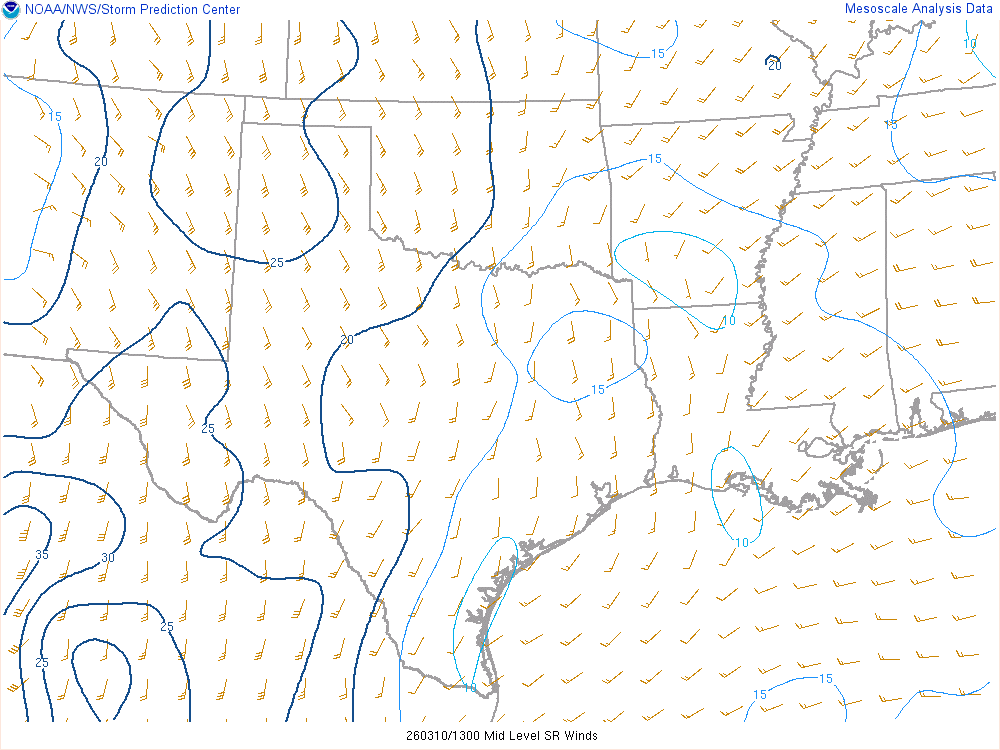
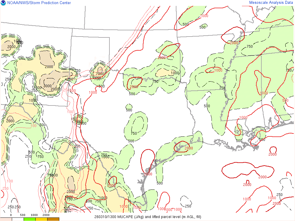
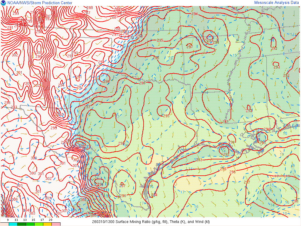
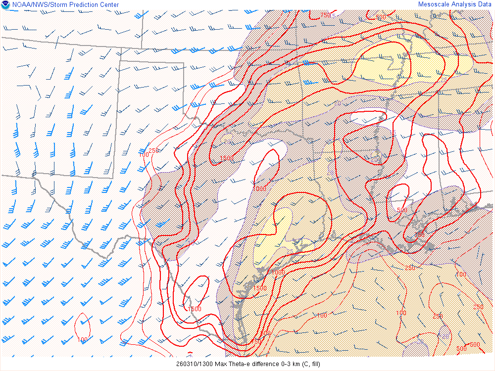
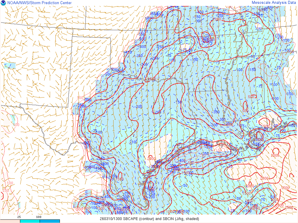
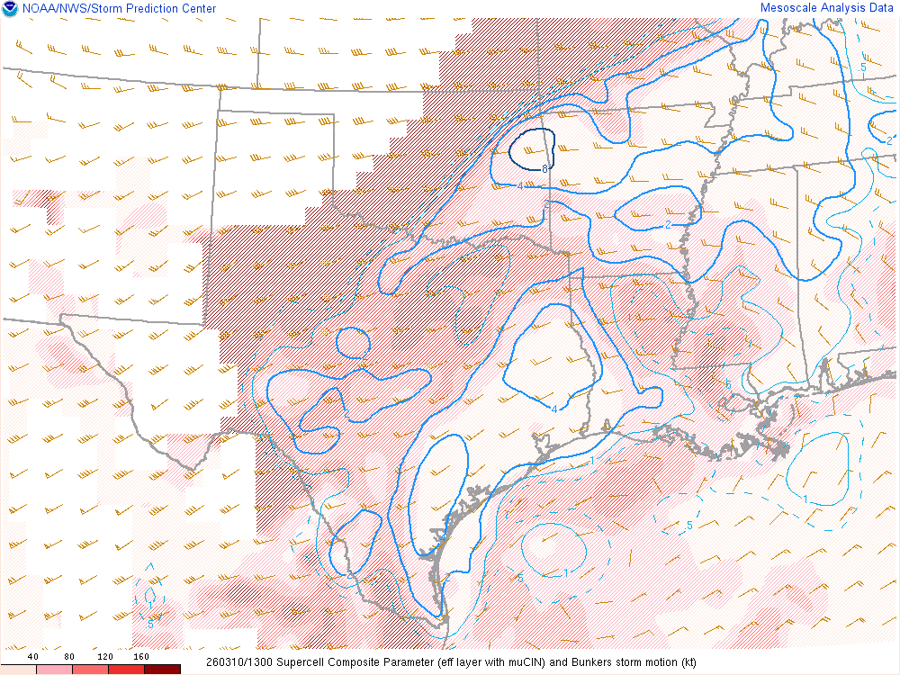
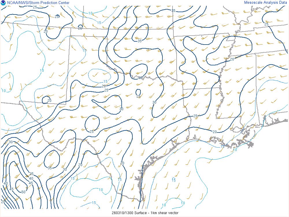
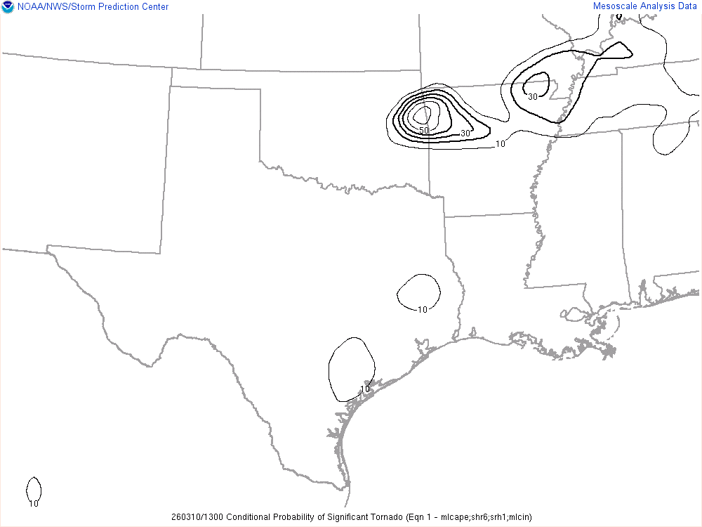
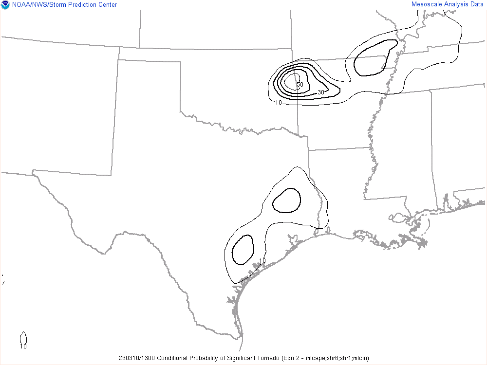
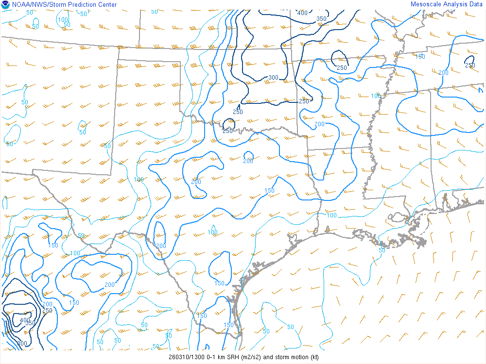
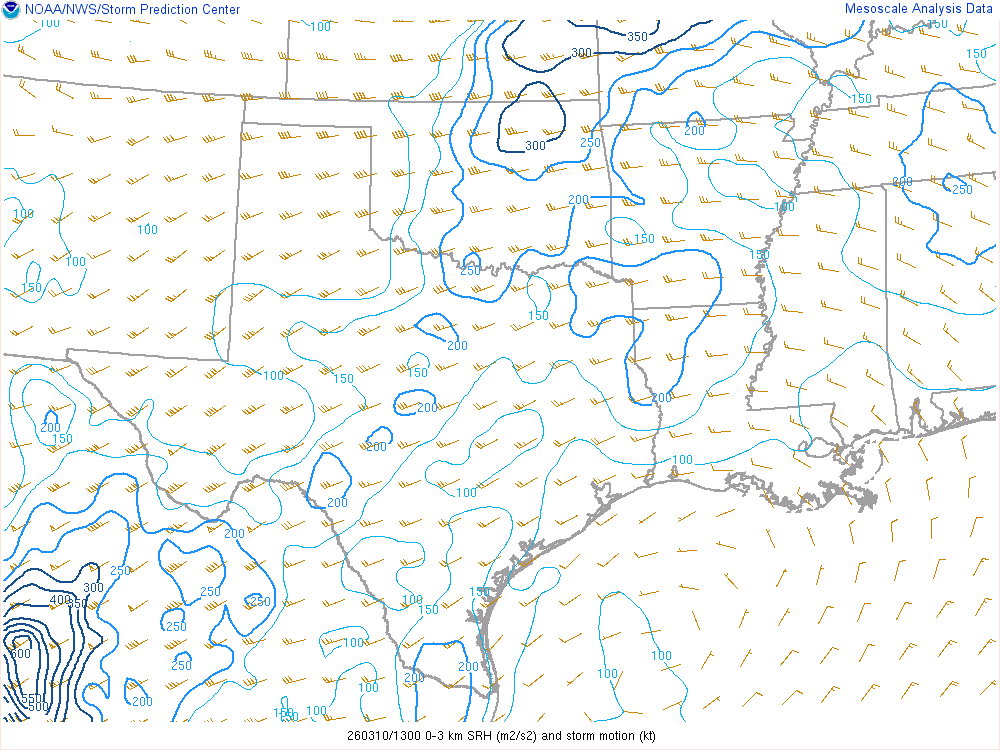
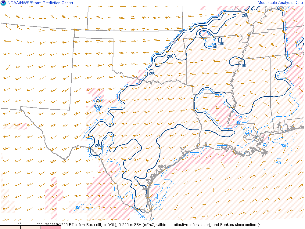
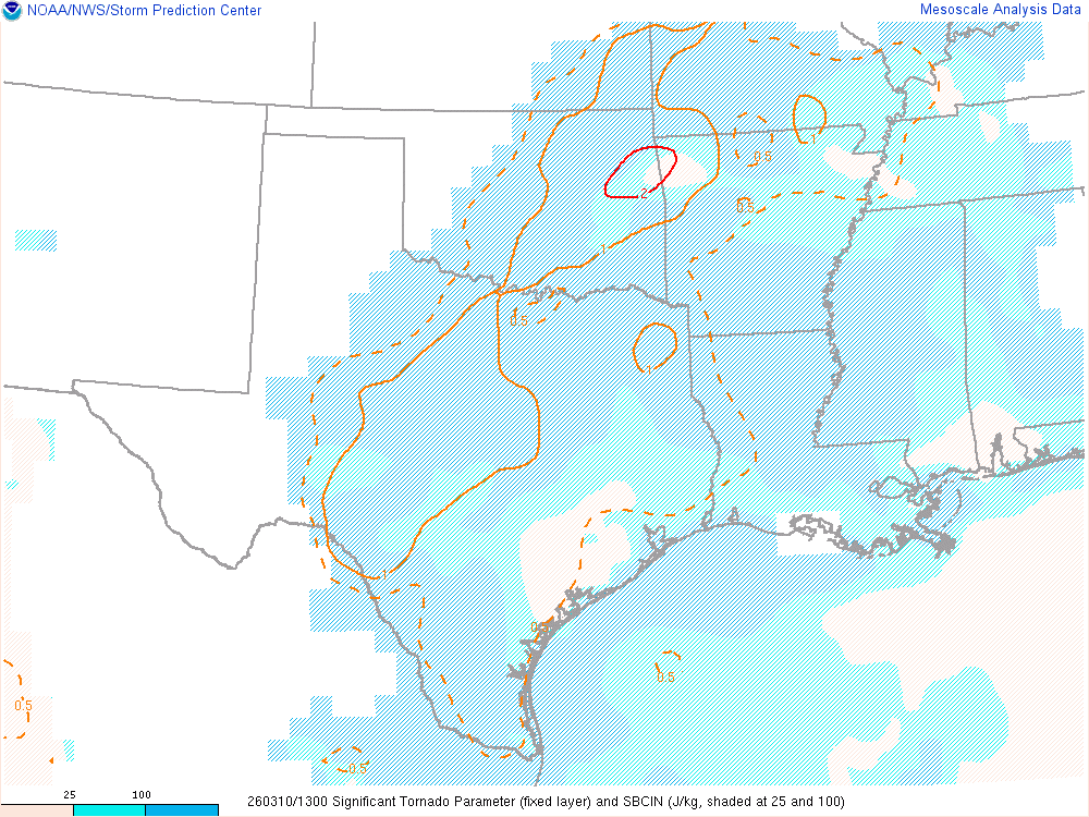
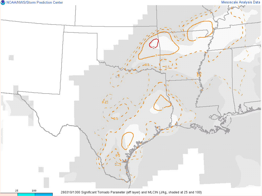
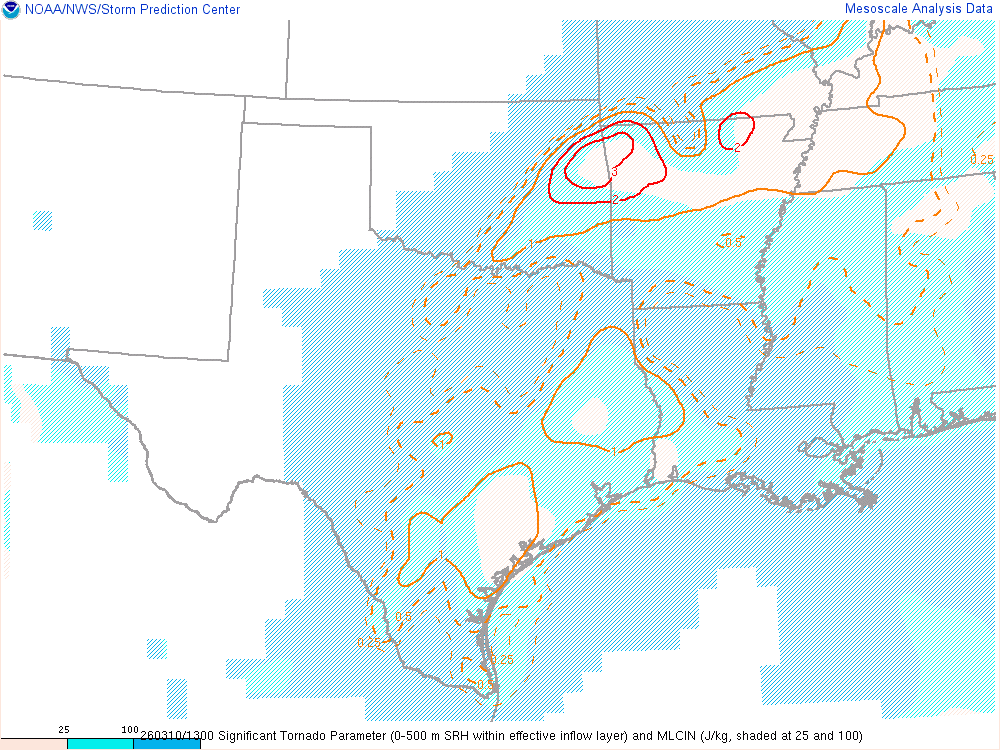
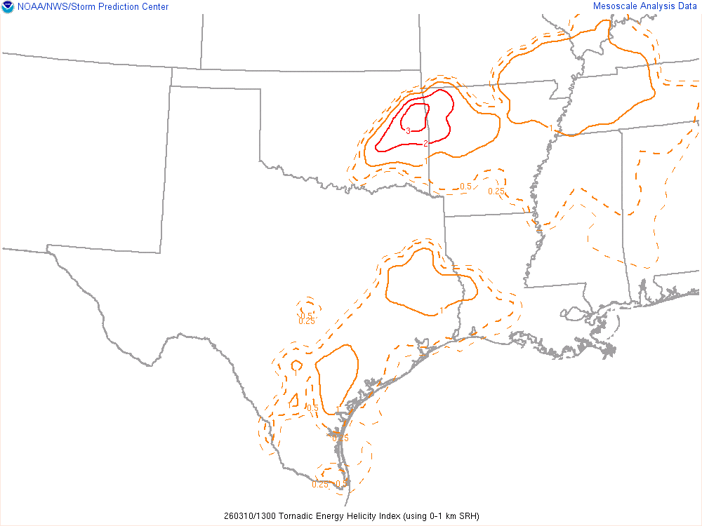
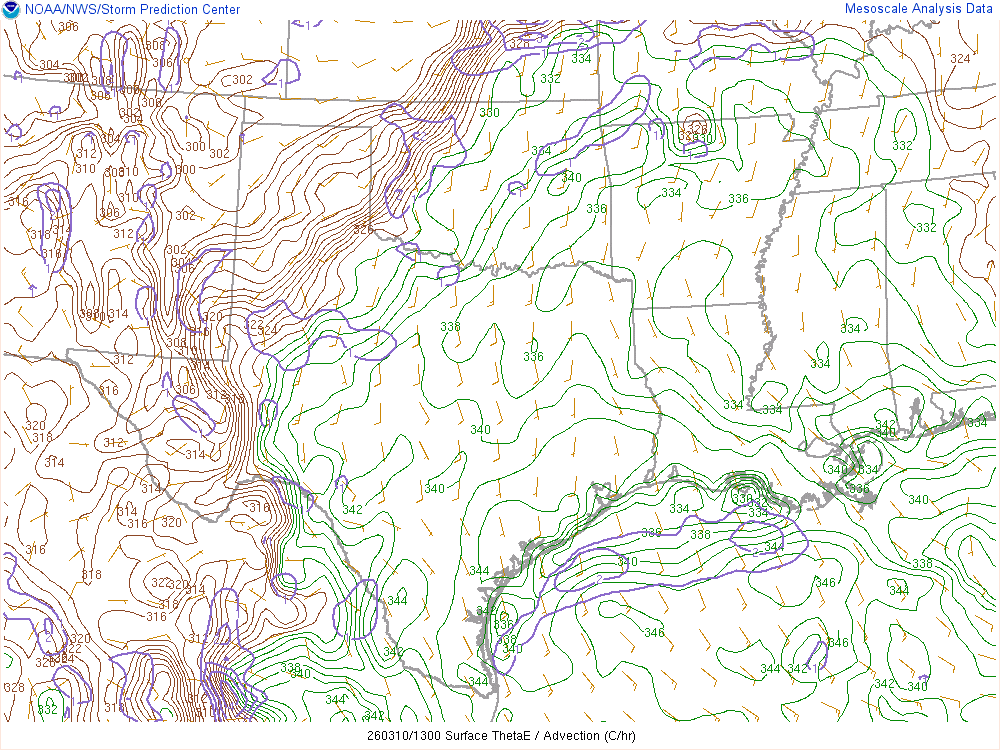
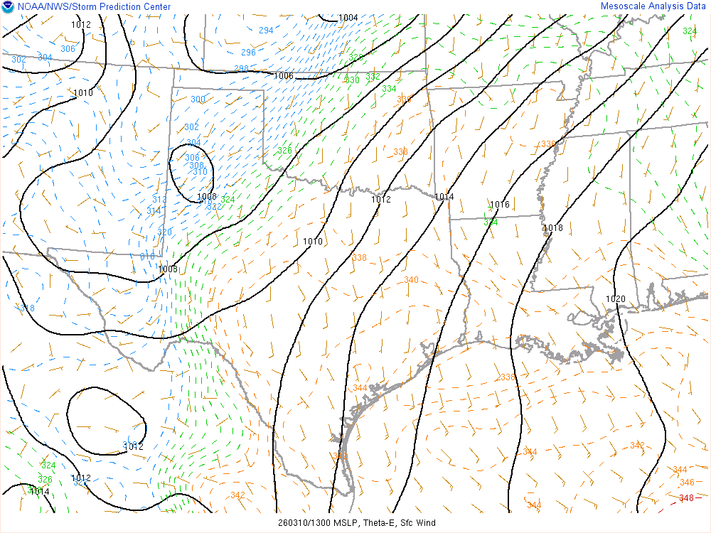
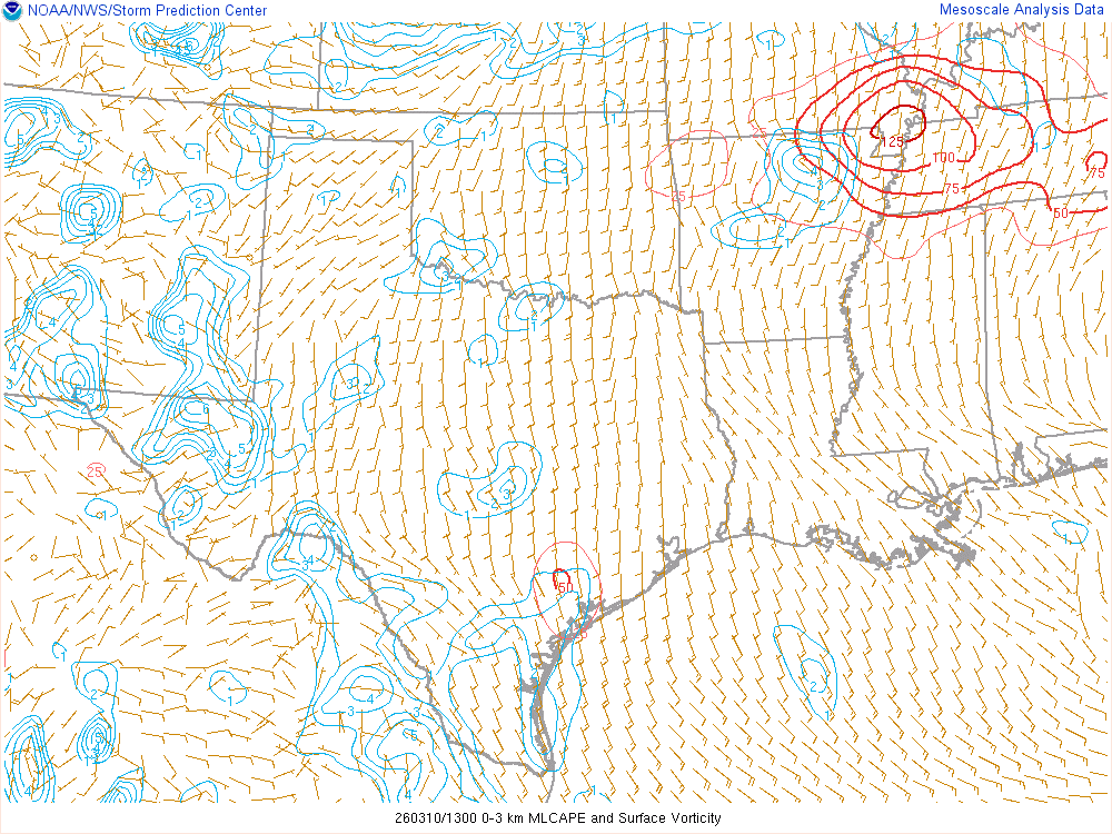
11Z SPC Mesosnalysis
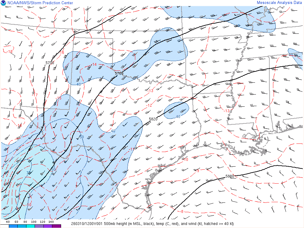
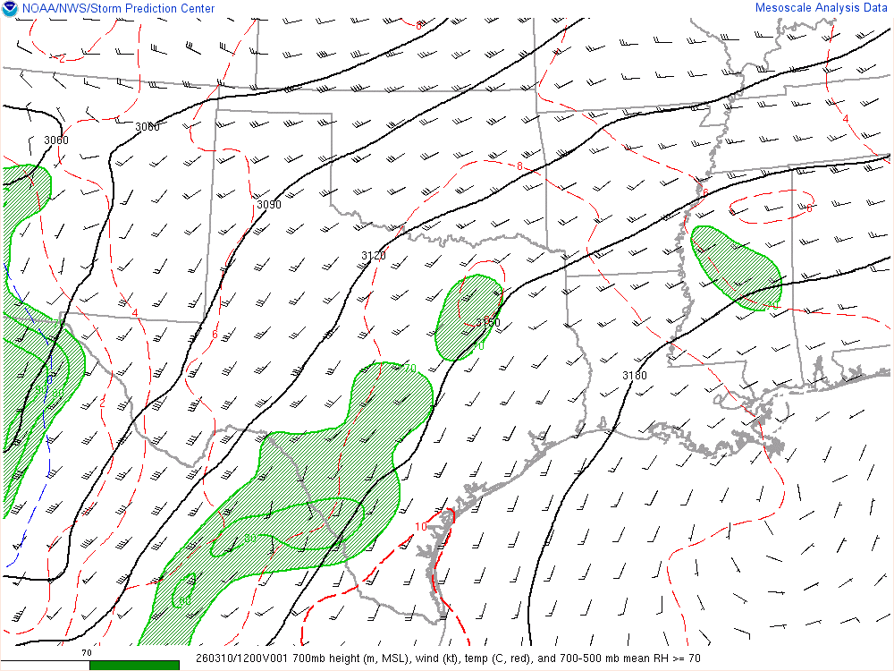

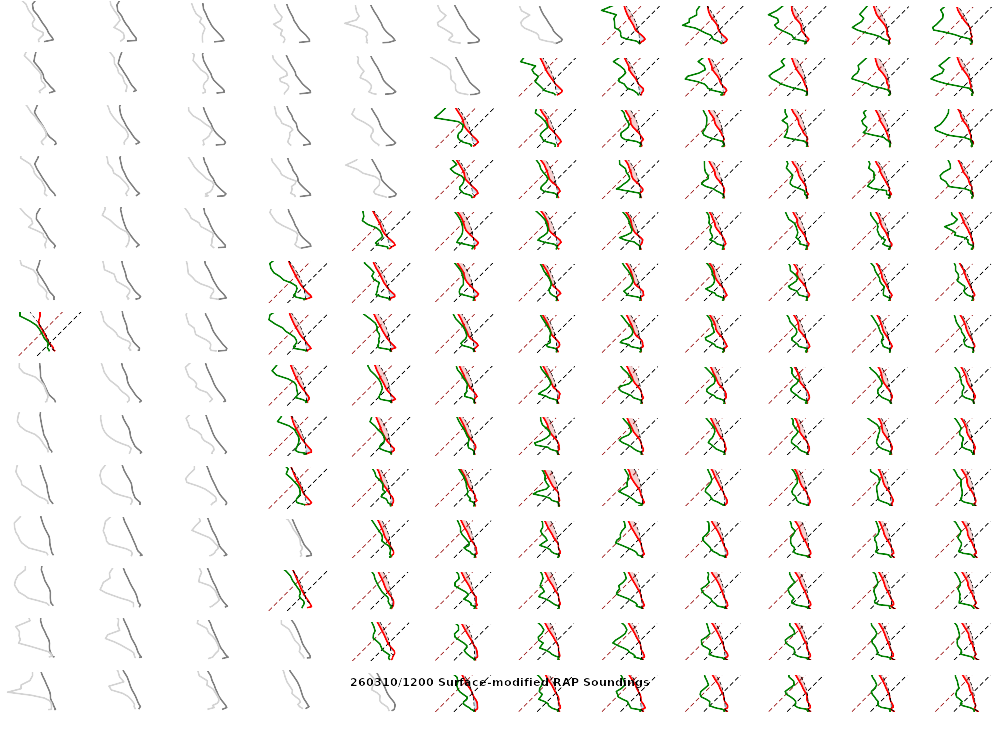
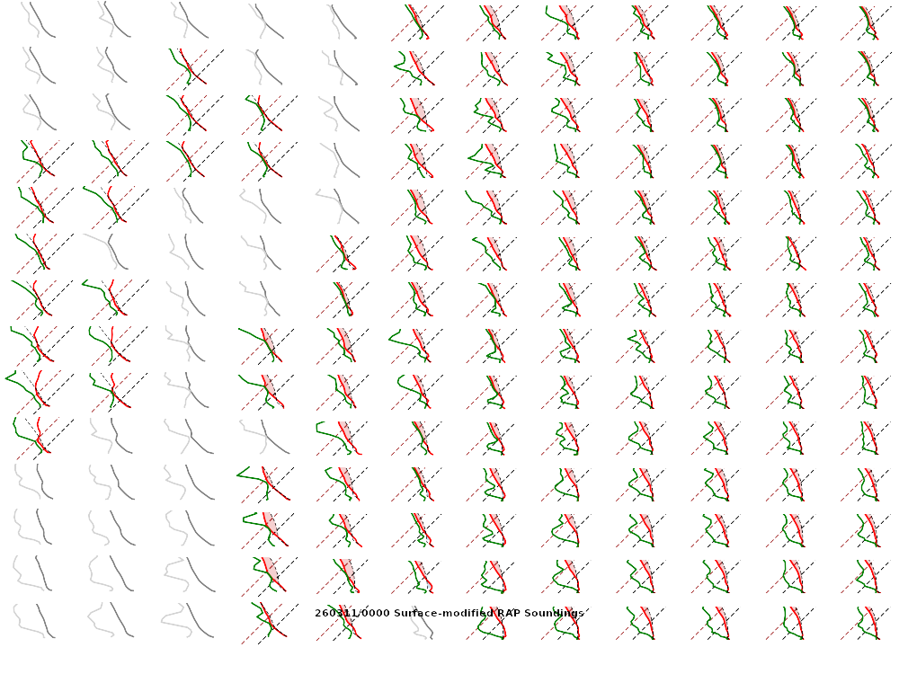
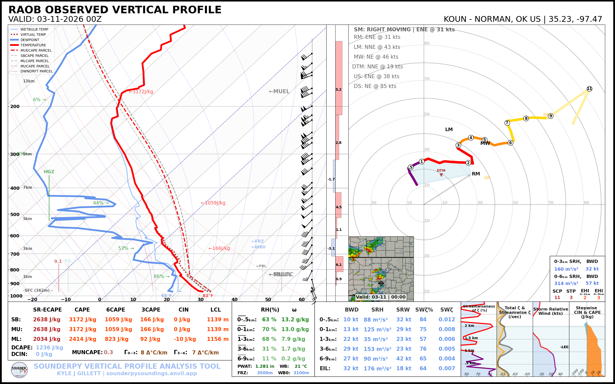
12Z Upper Air Soundings (RAOBS)
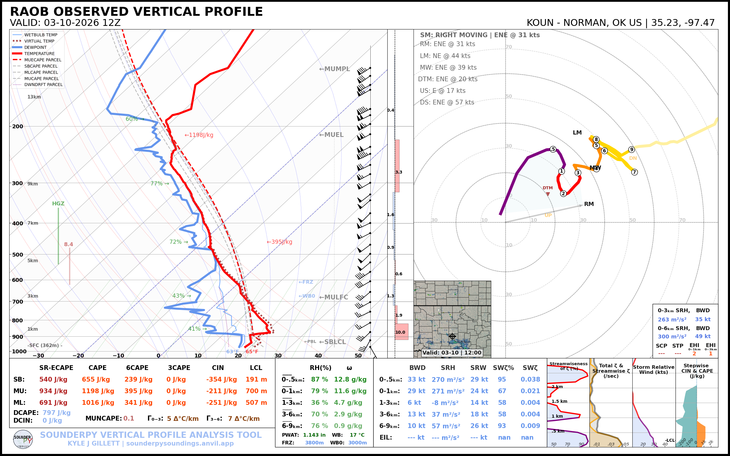
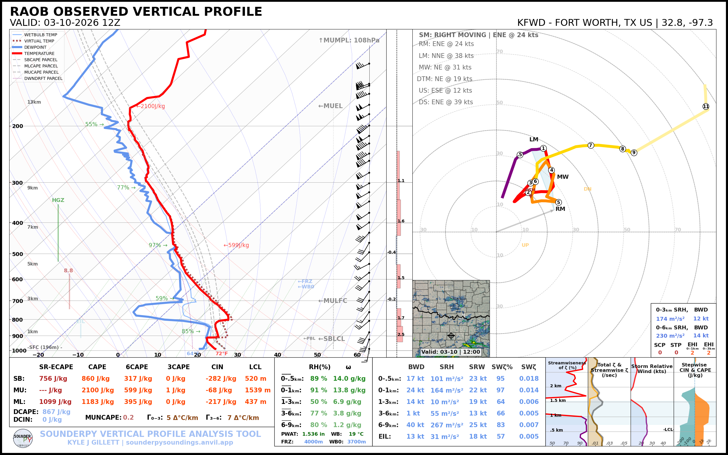
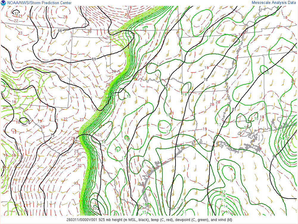
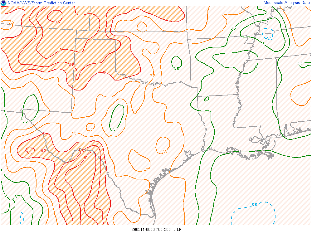
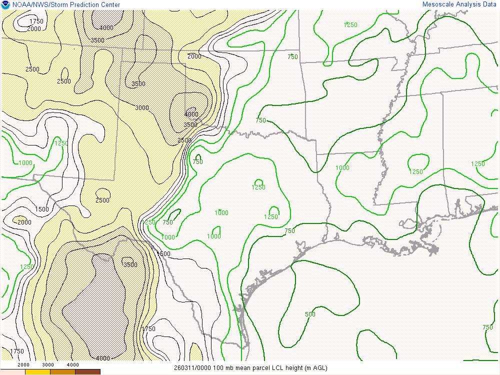
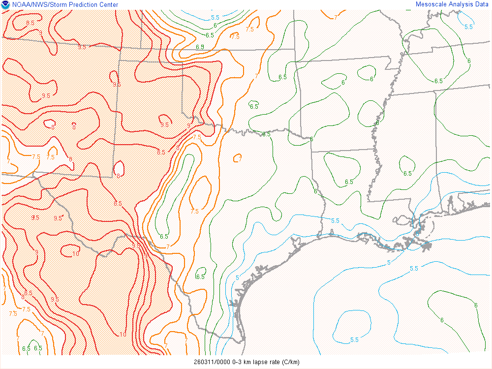
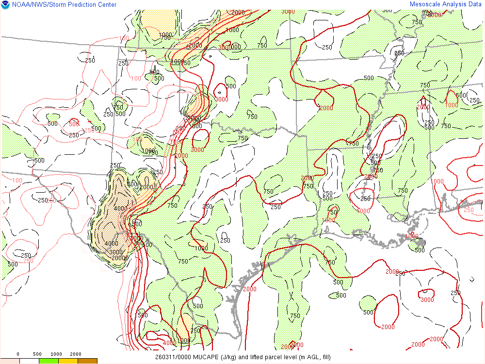
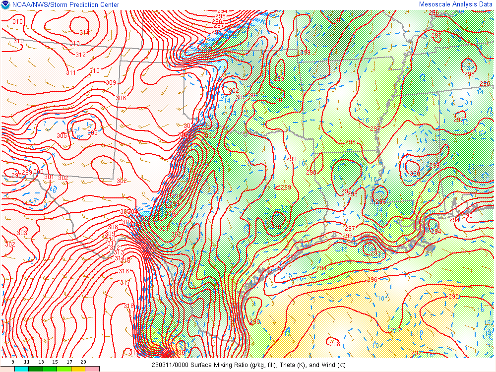
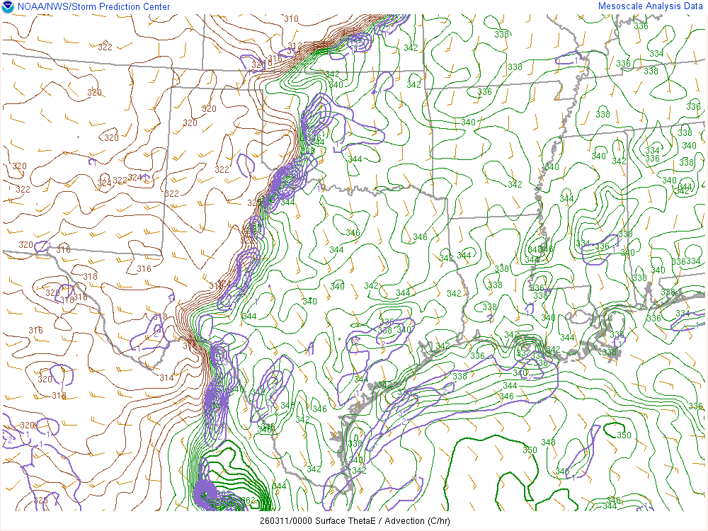
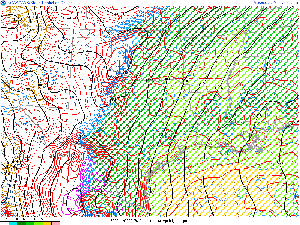
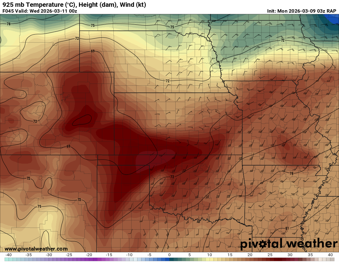
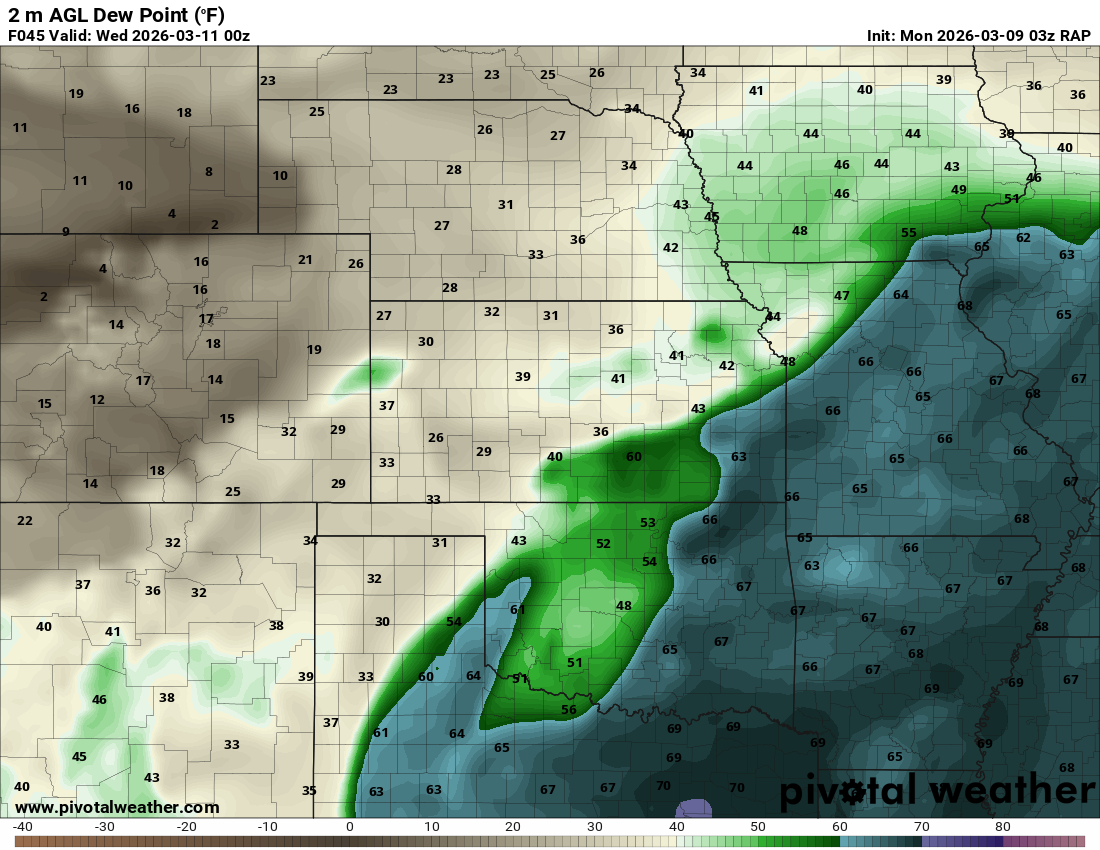
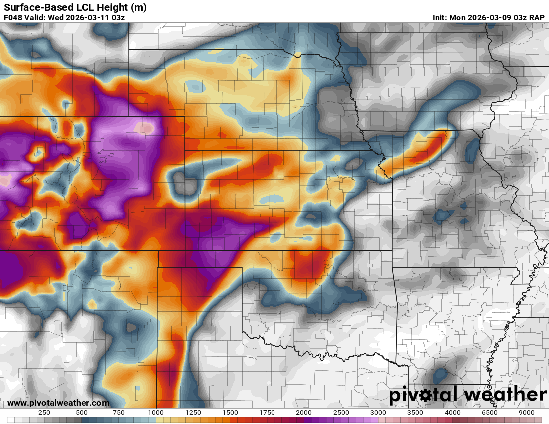
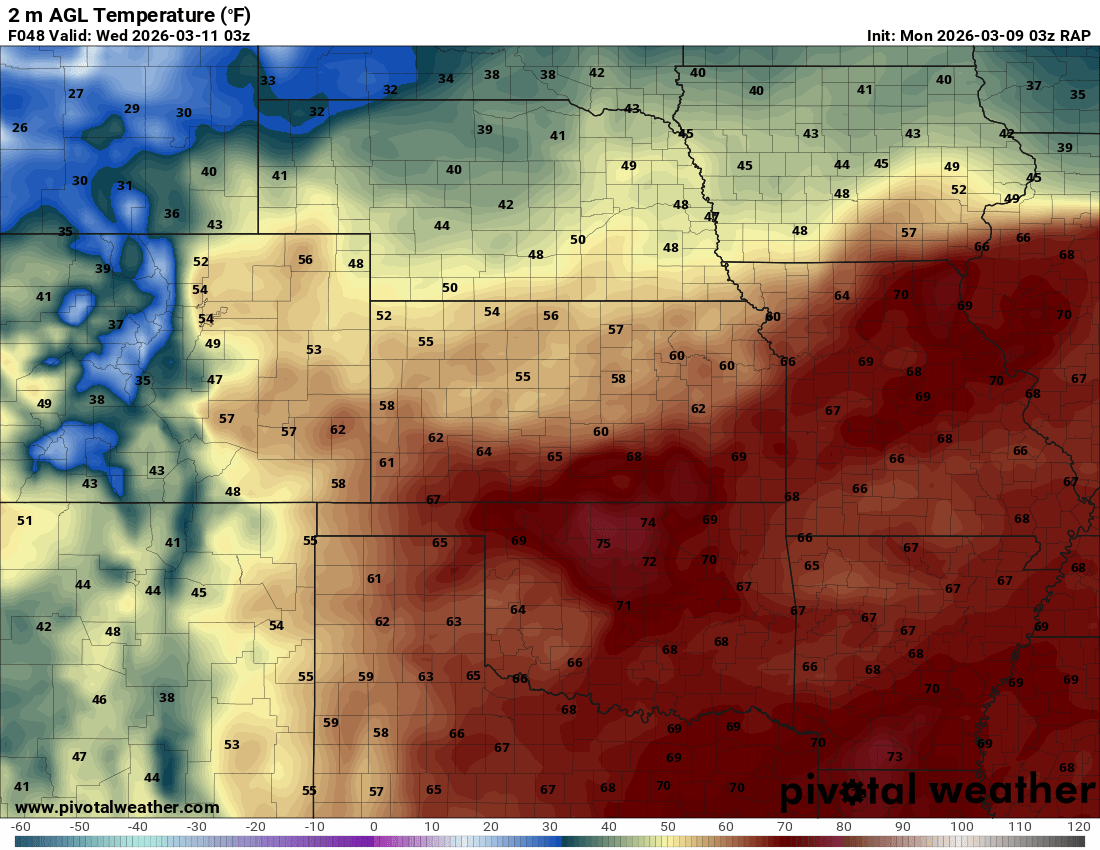
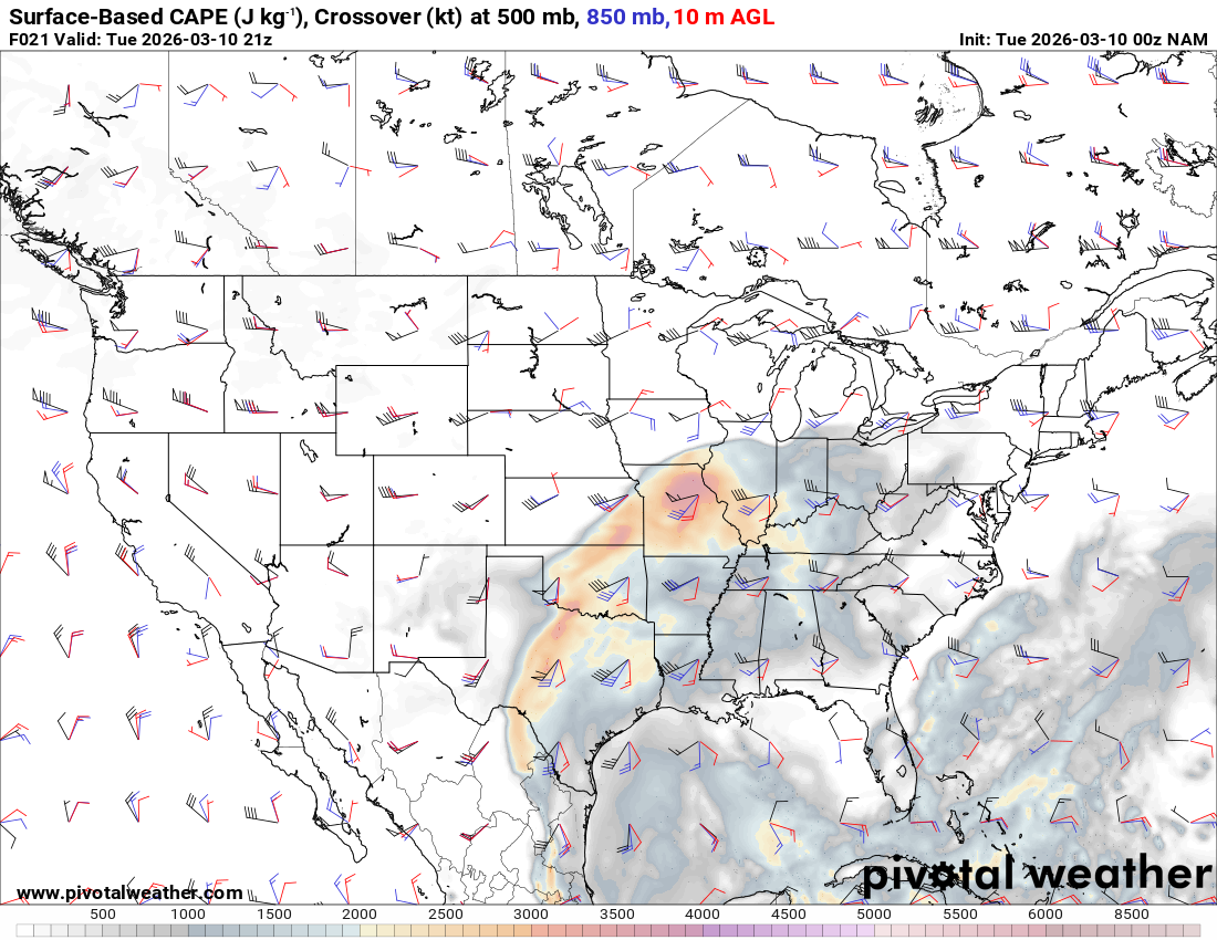
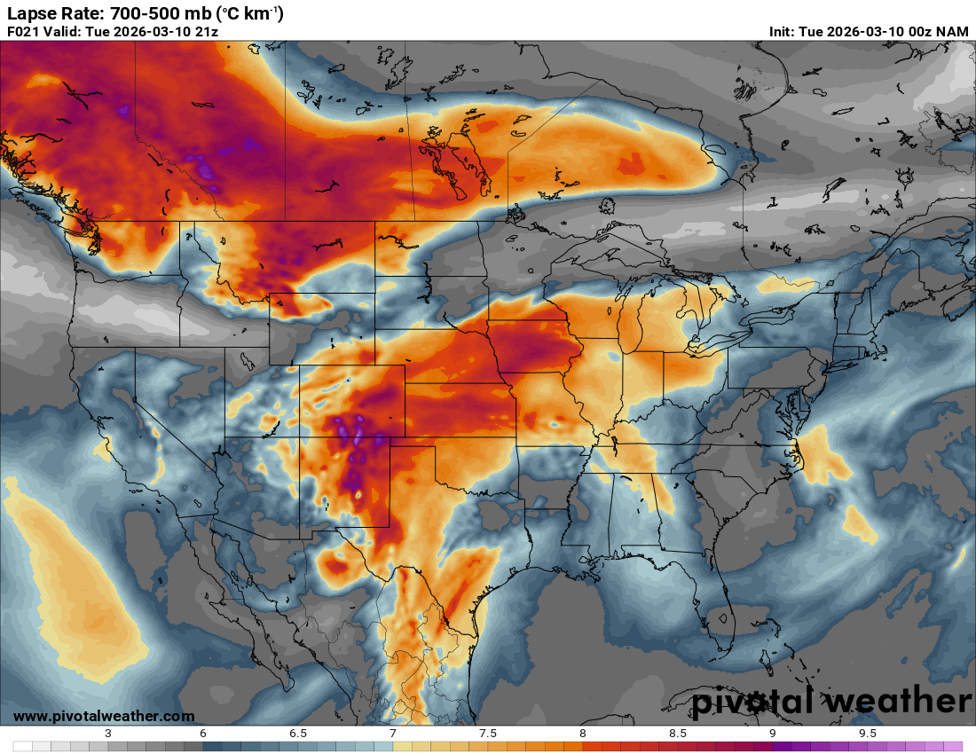
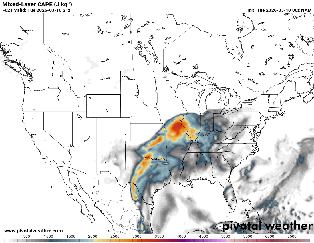
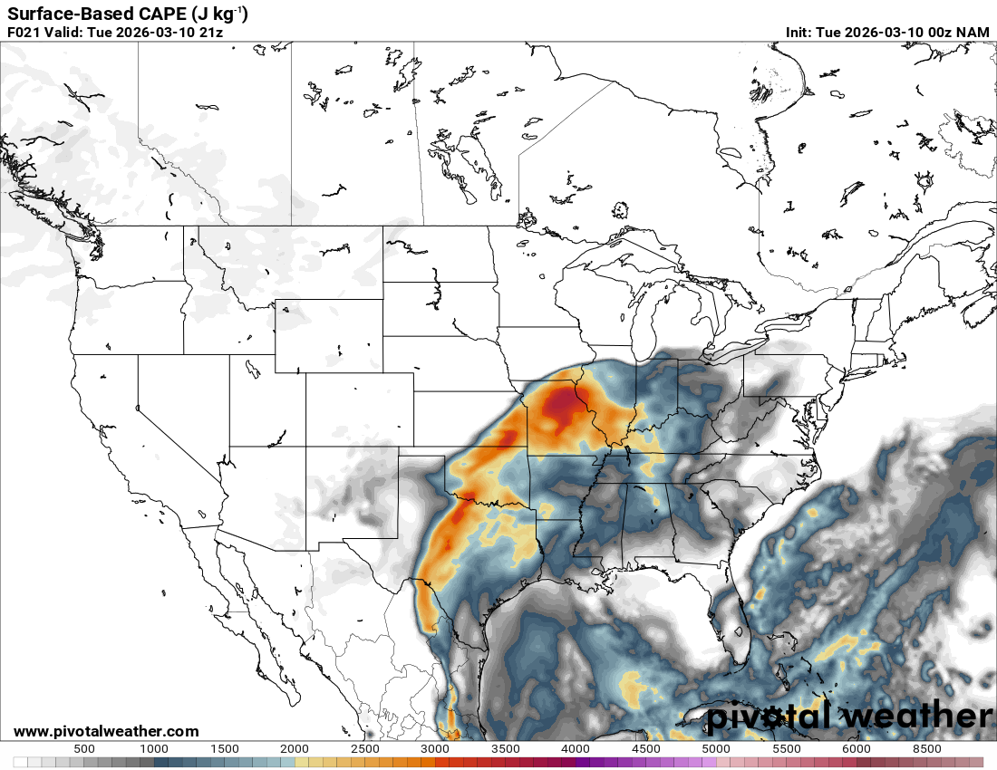
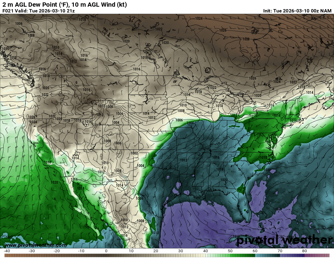
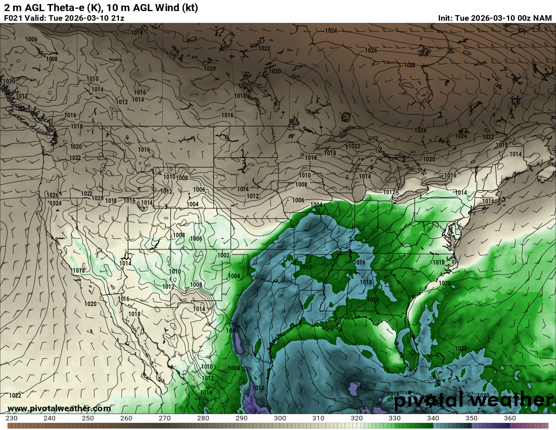
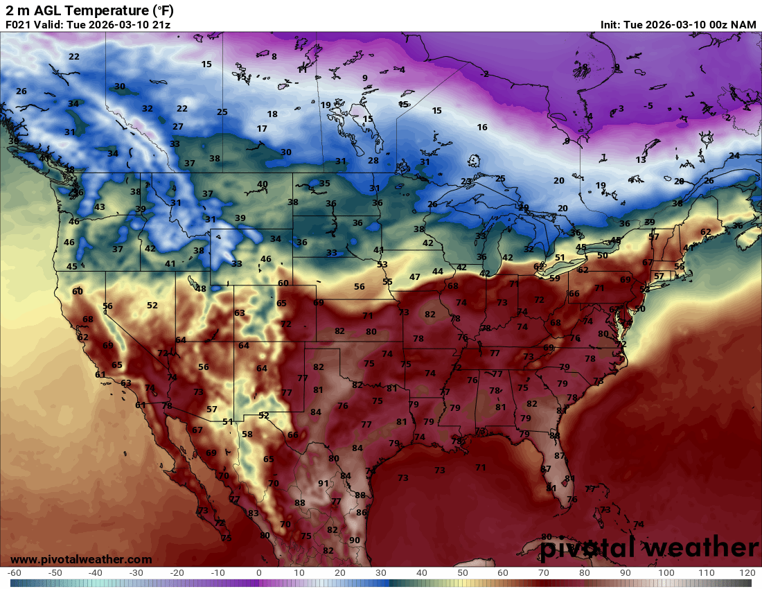
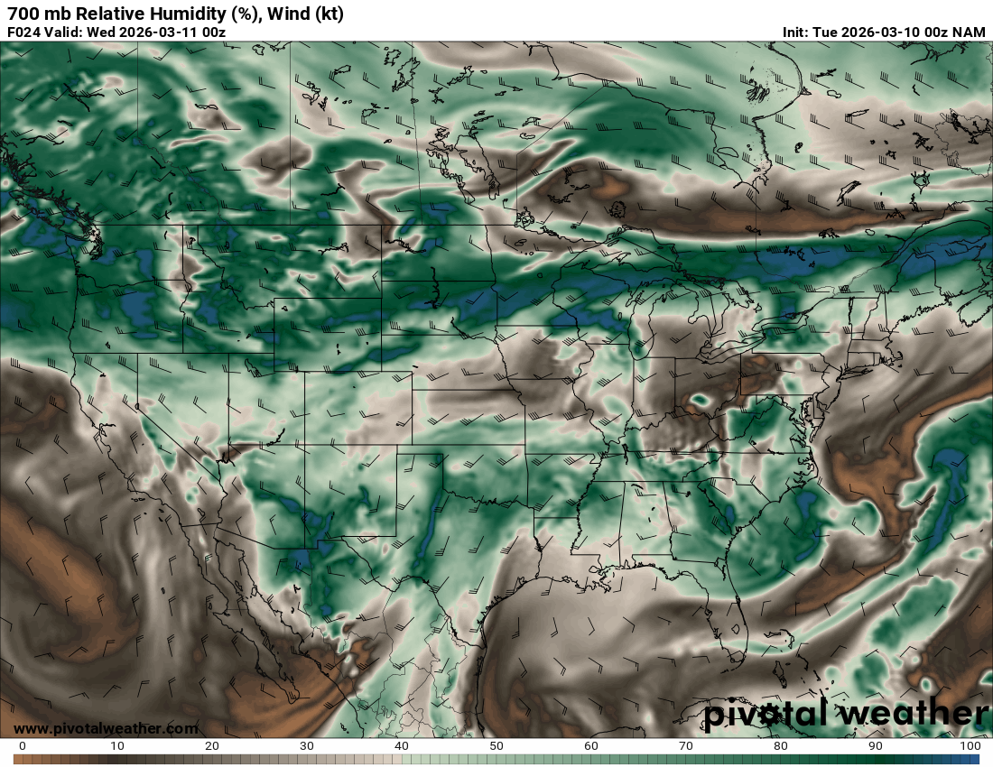
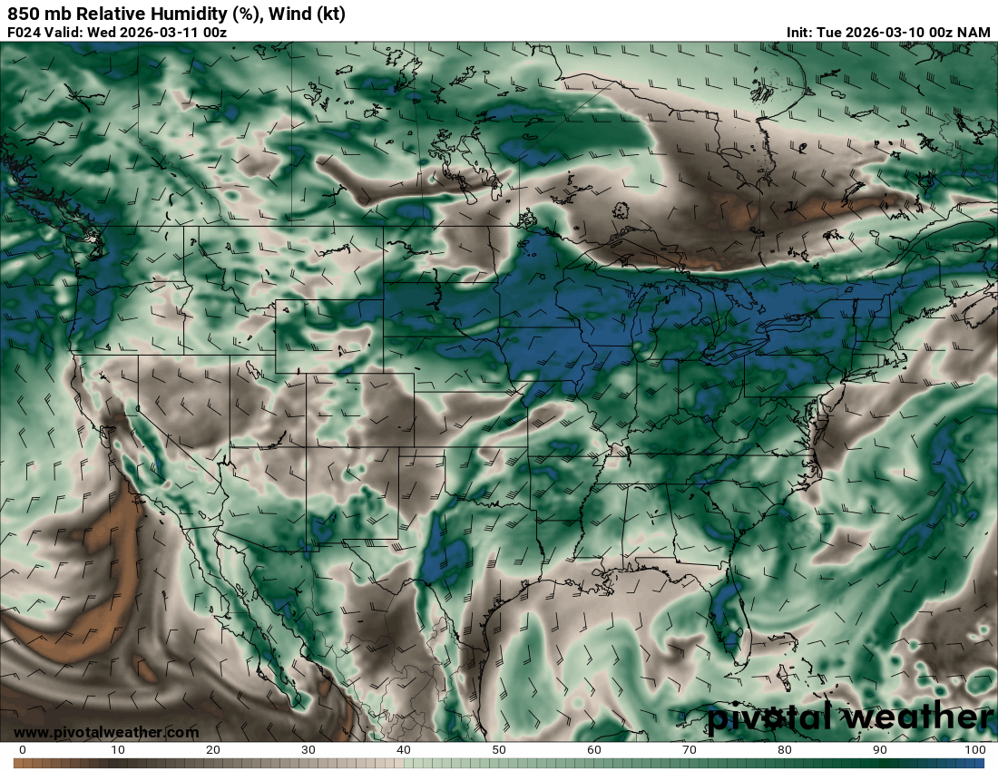
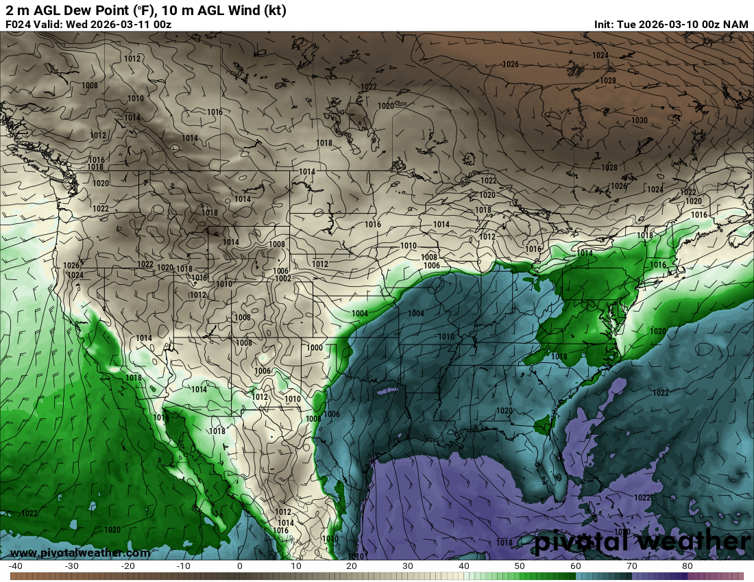
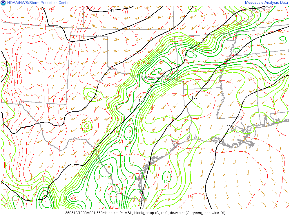
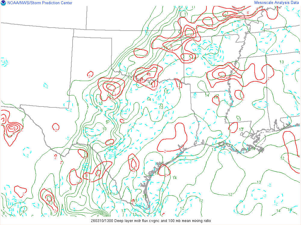
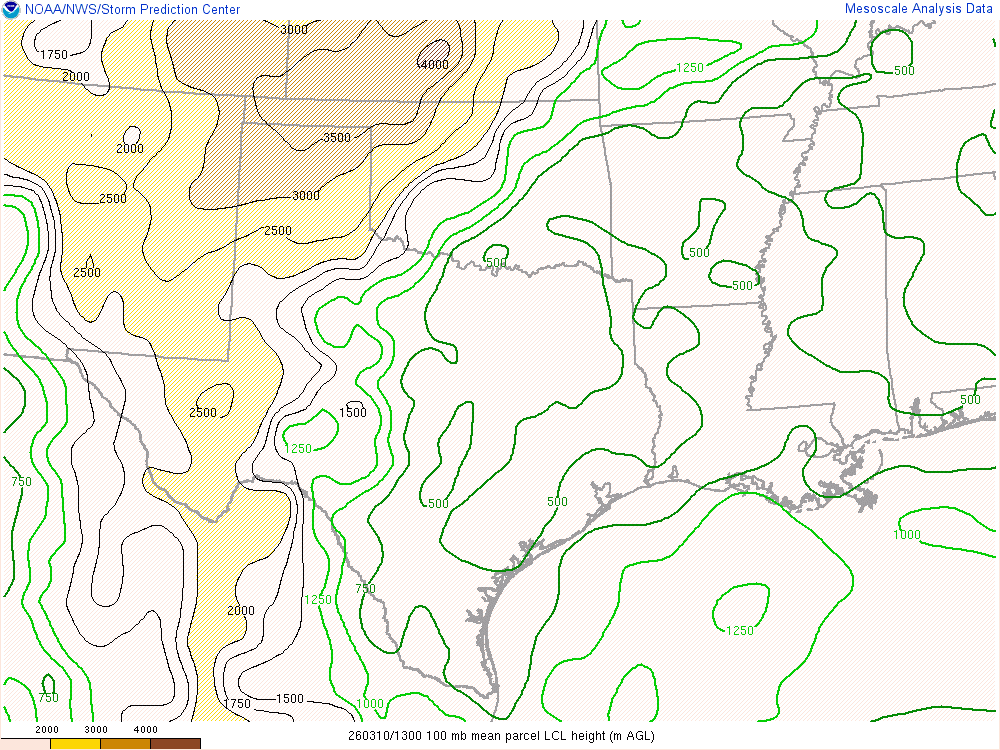
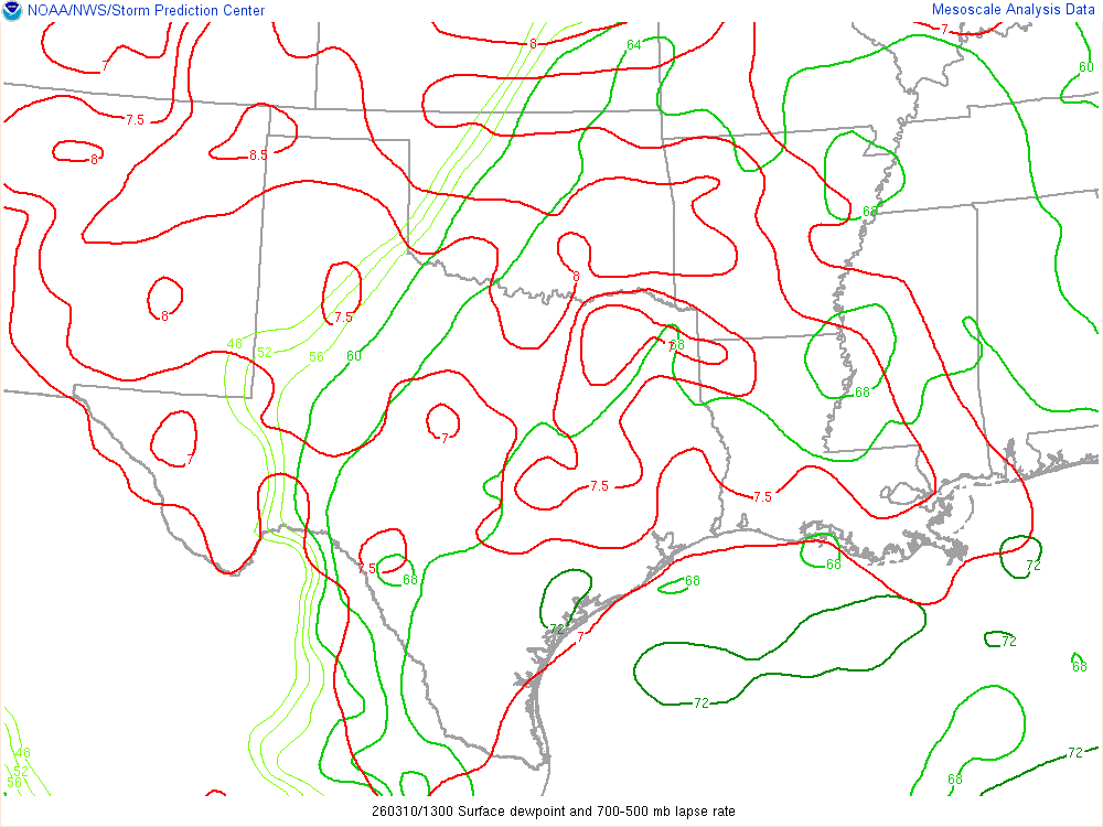
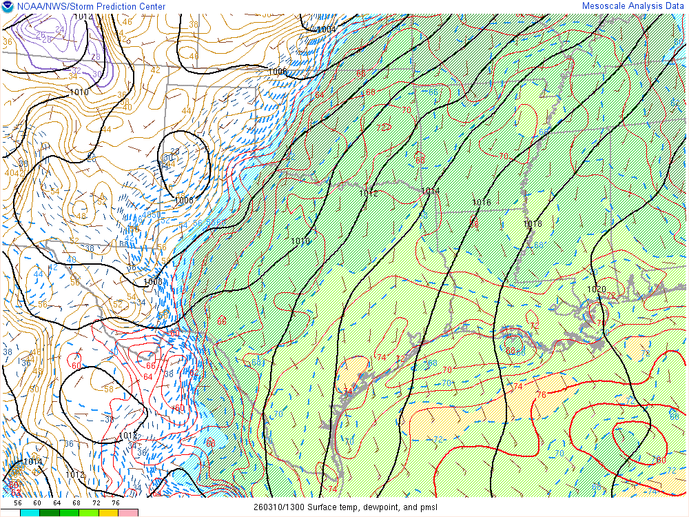
Moisture was very high for March. Dewpoints in the mid 60s were in place at 8am across the eastern 1/2 of Oklahoma.

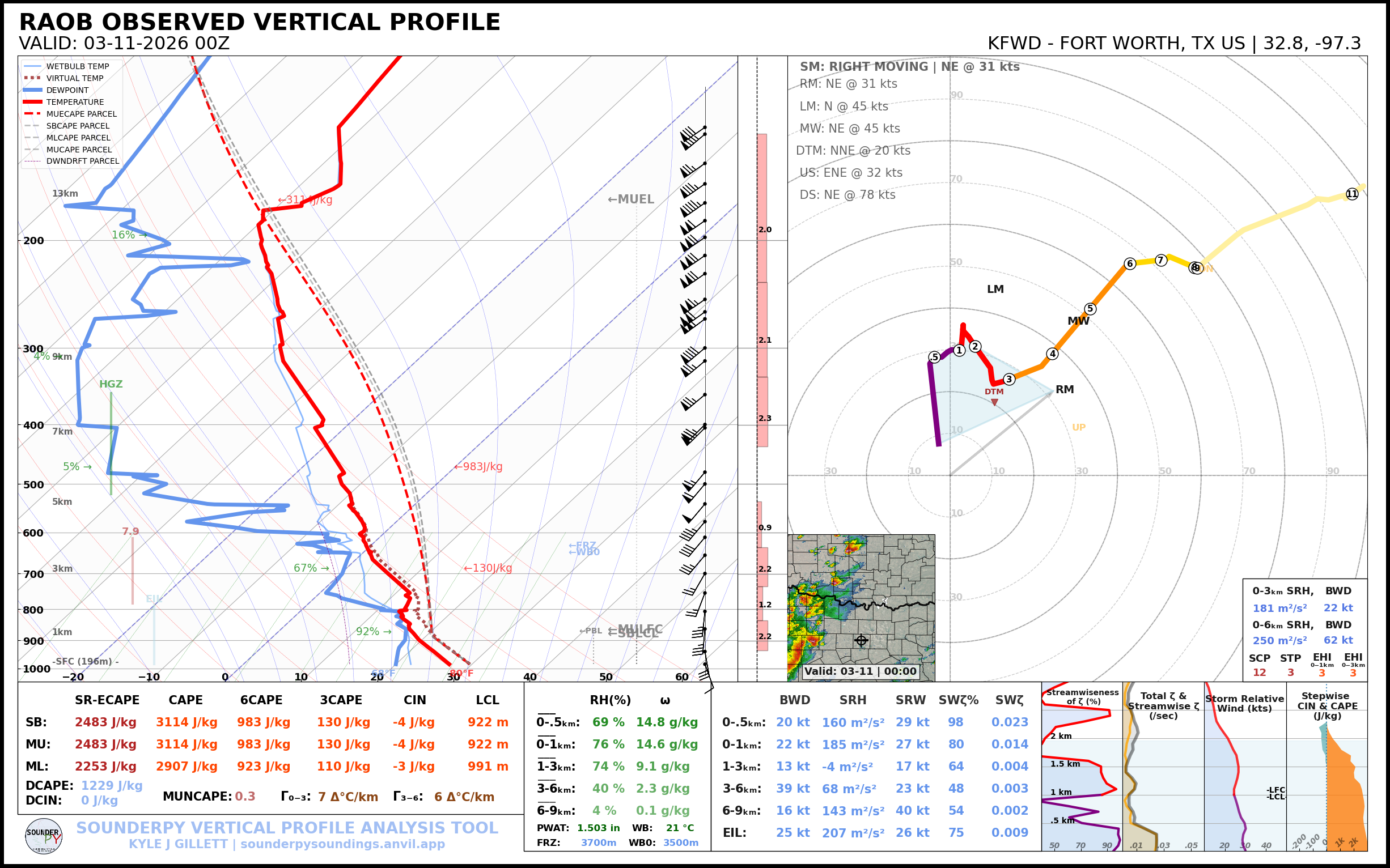
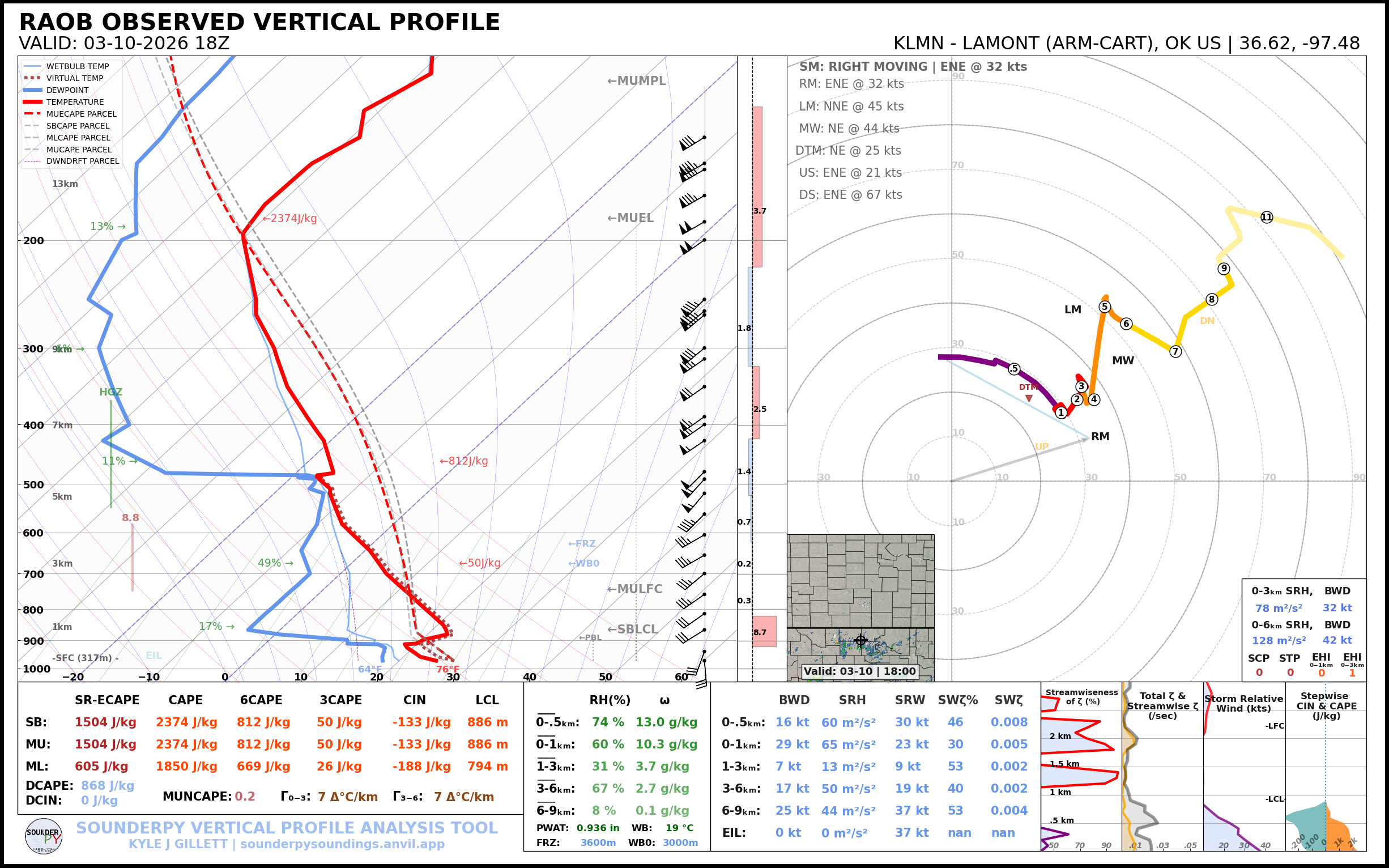
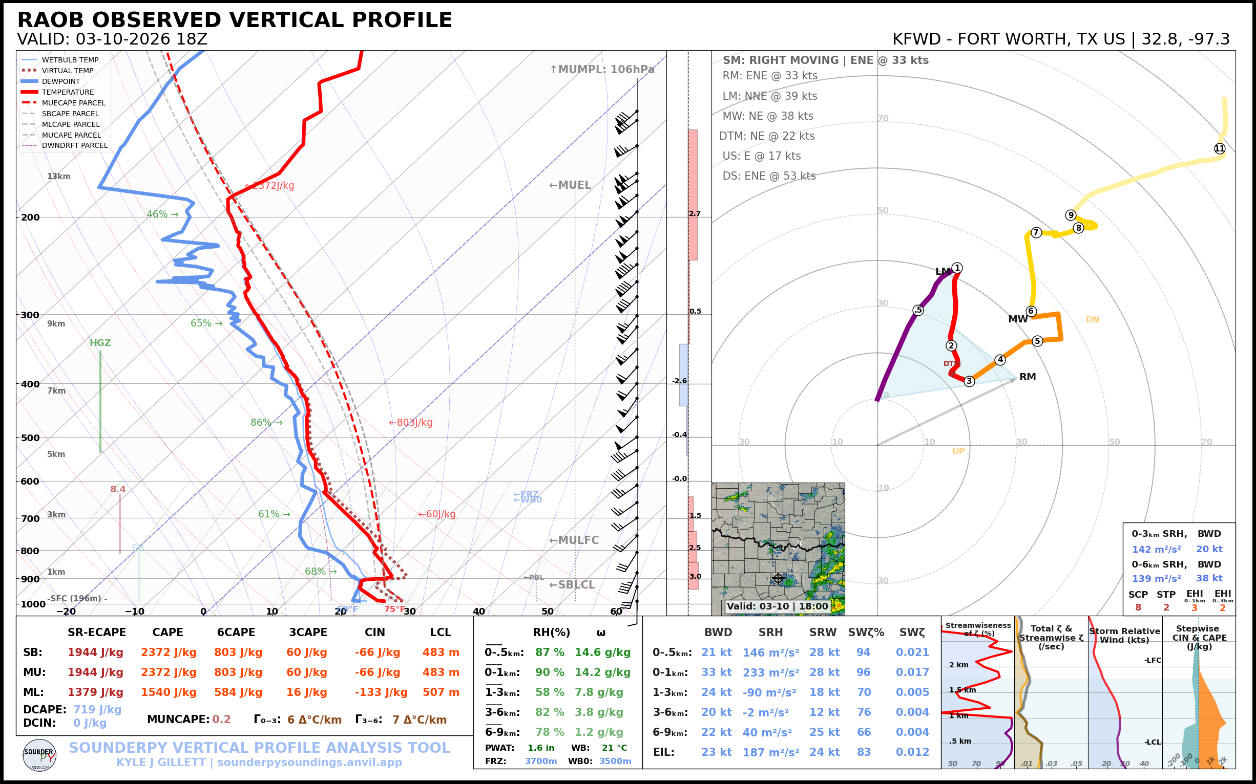
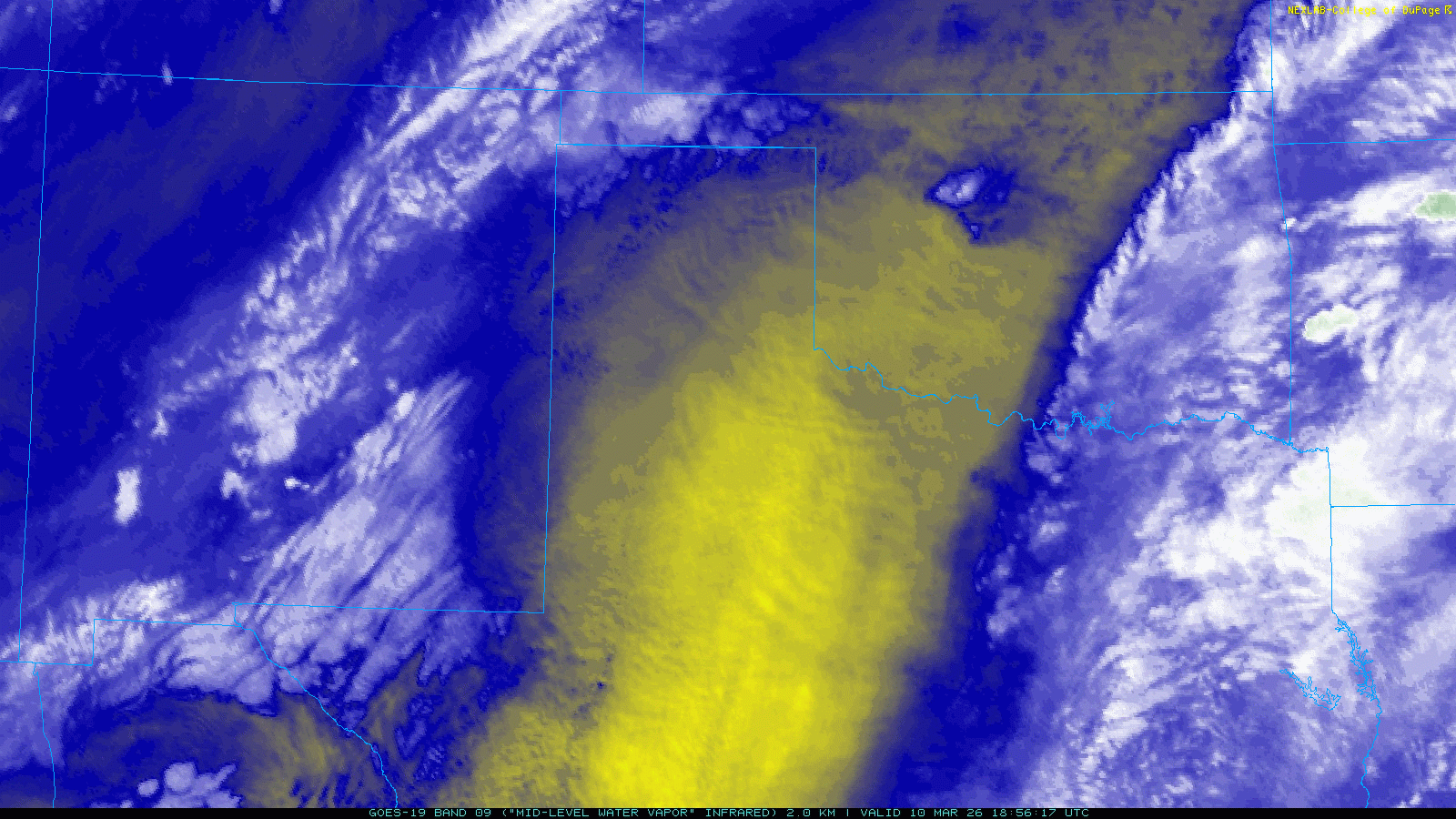
18Z Special Upper Air Soundings and Water Vapor Loop
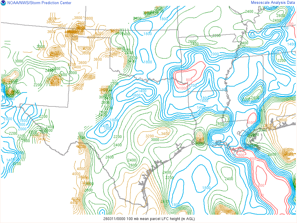
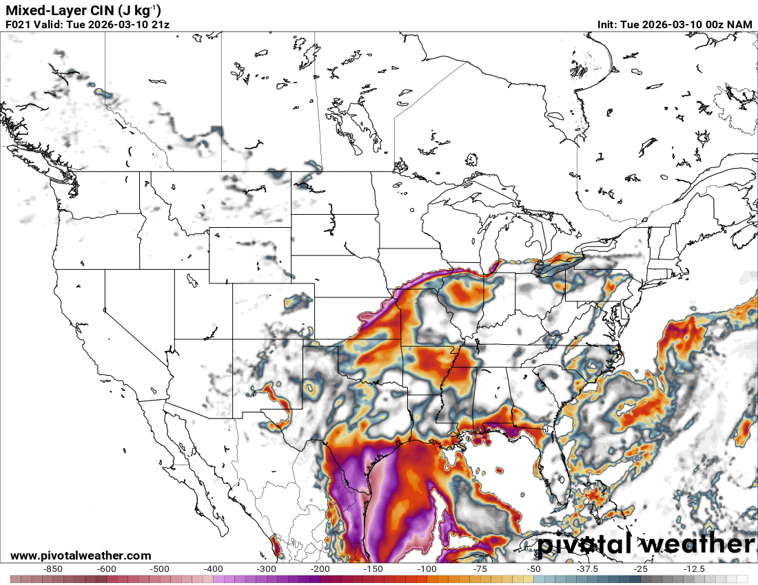
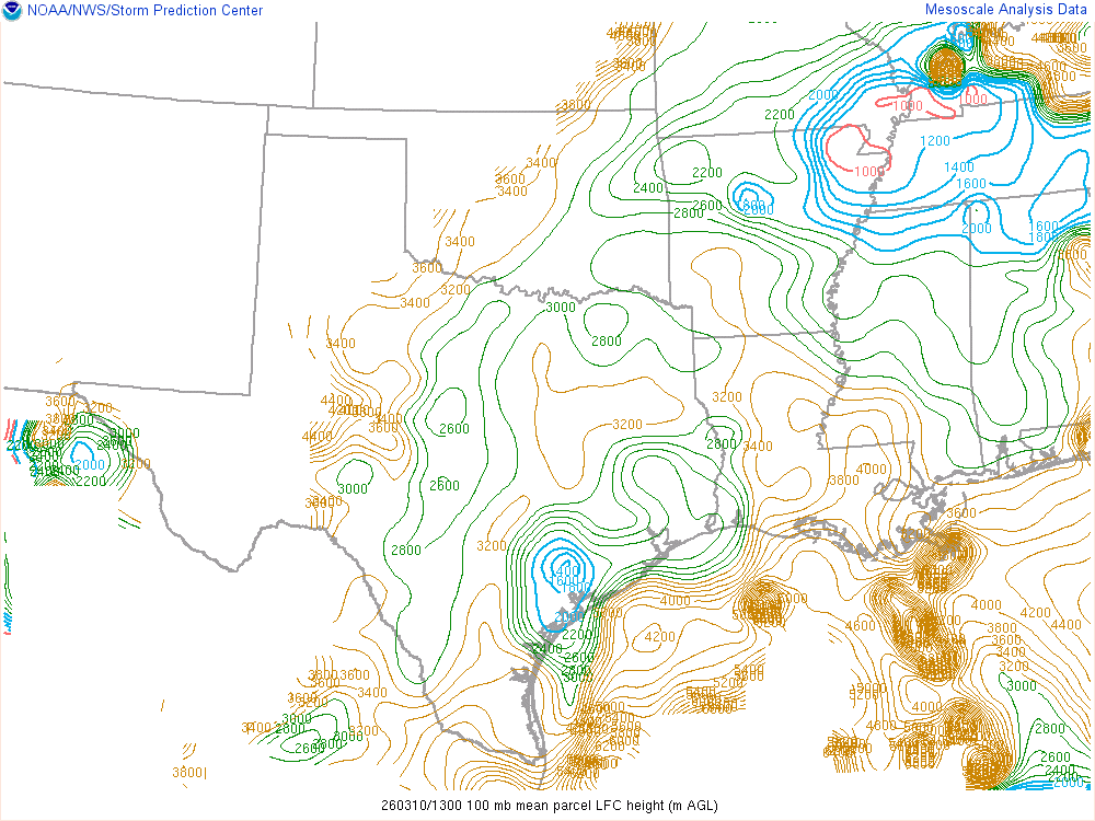
Fort Worth sounding at 18z still showed a very moist and conditionally unstable conditions. The capping was still in place suppressing convection as the cutoff low rolled into the vicinity.
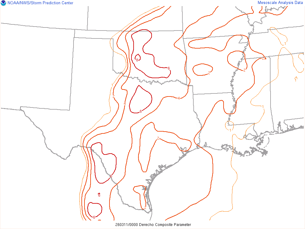
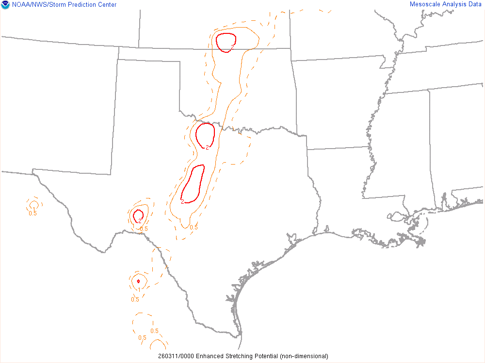
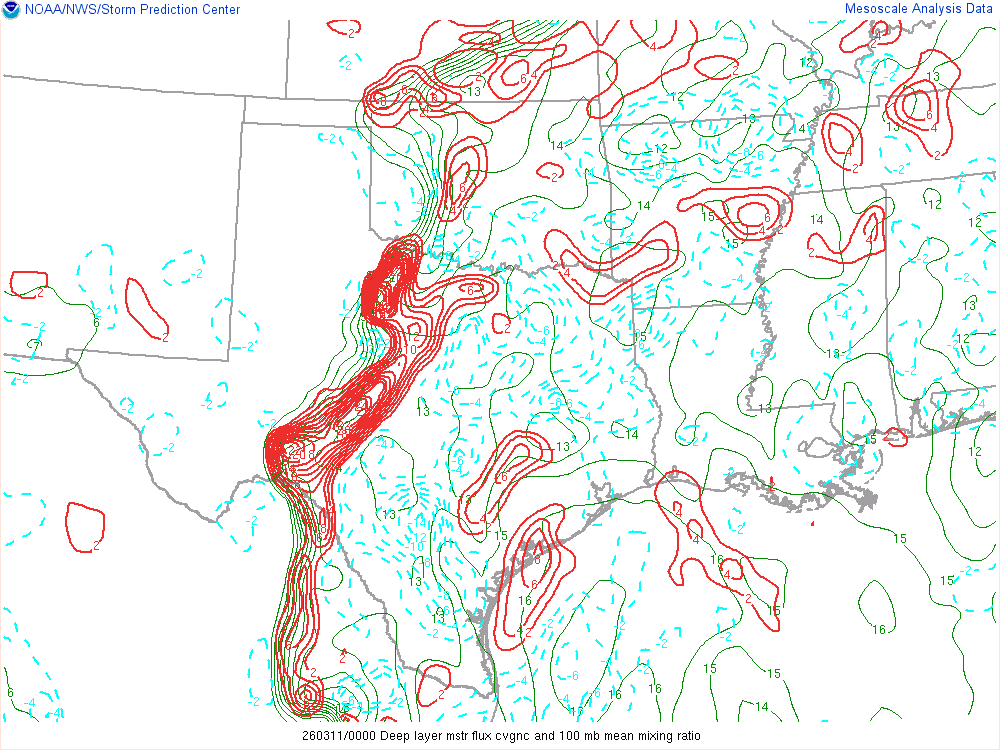
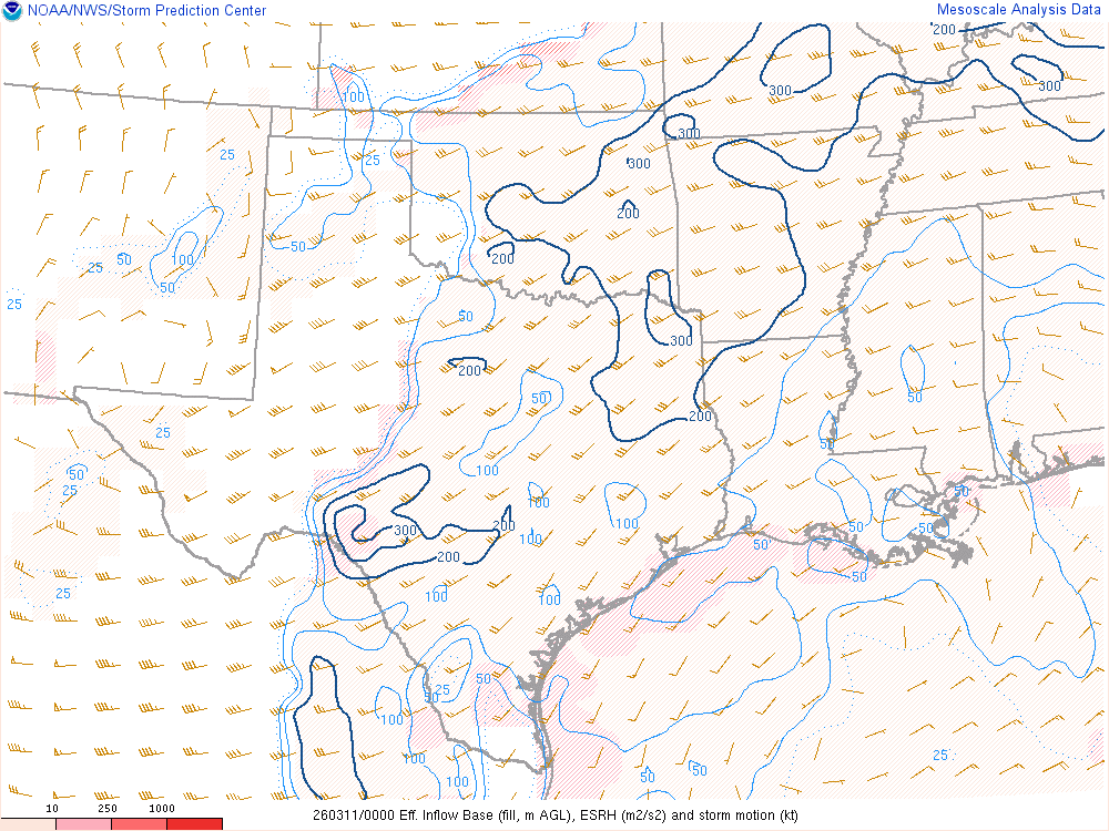
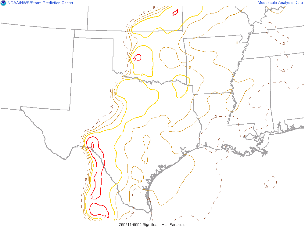
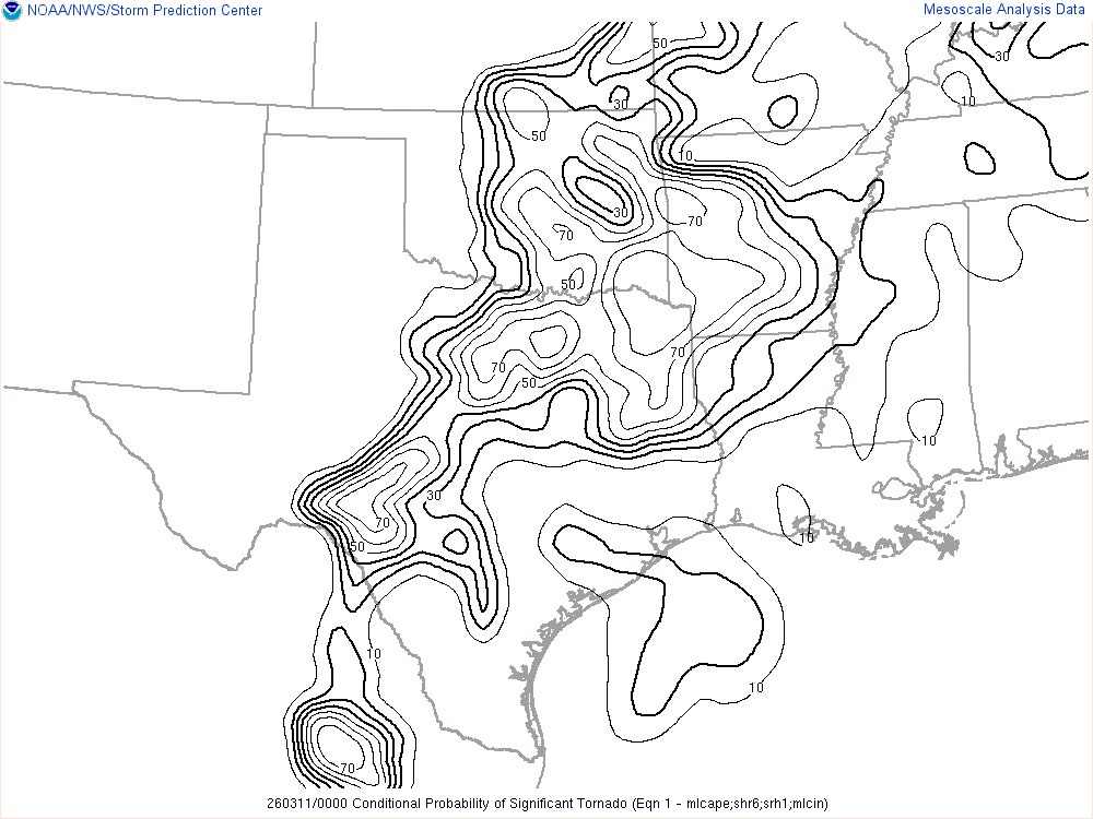
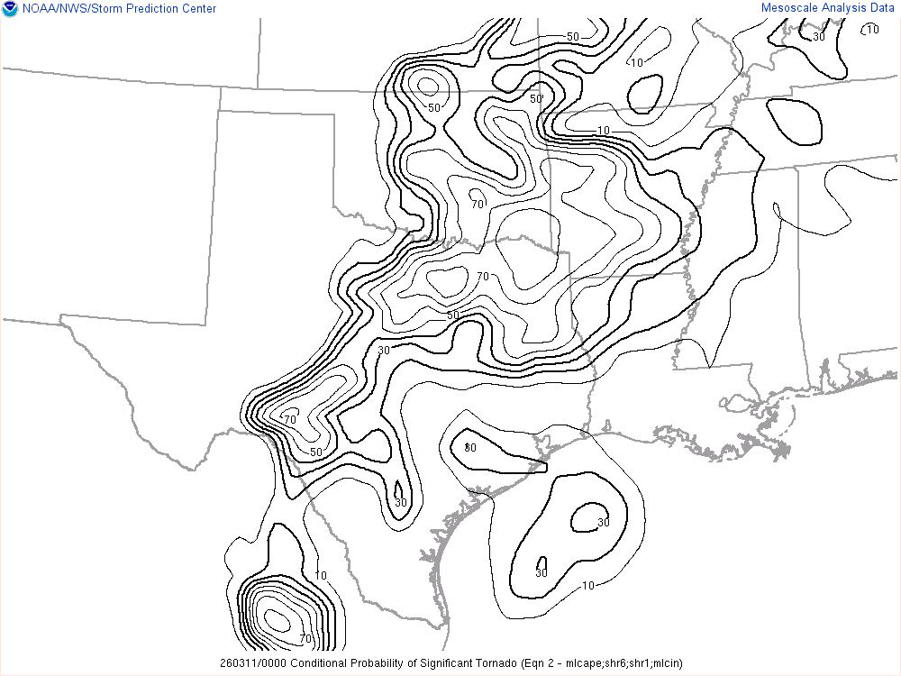
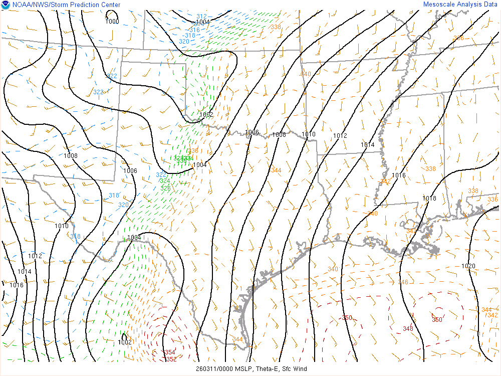
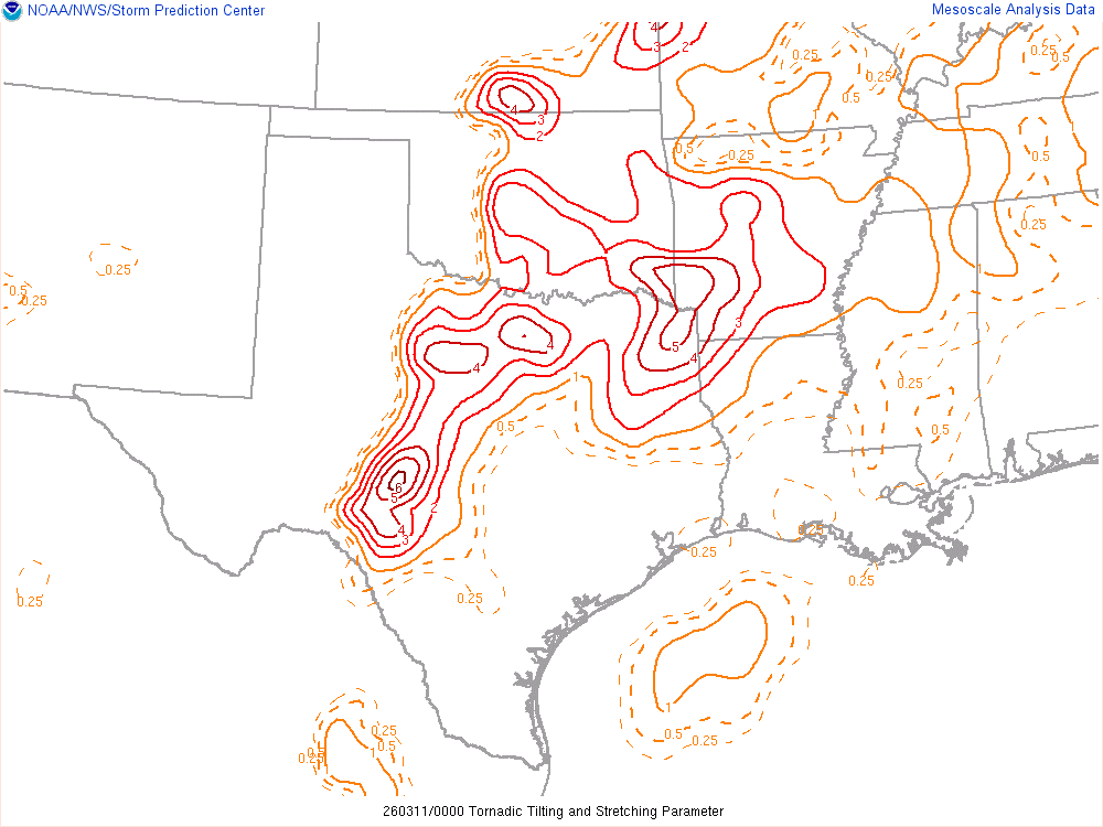
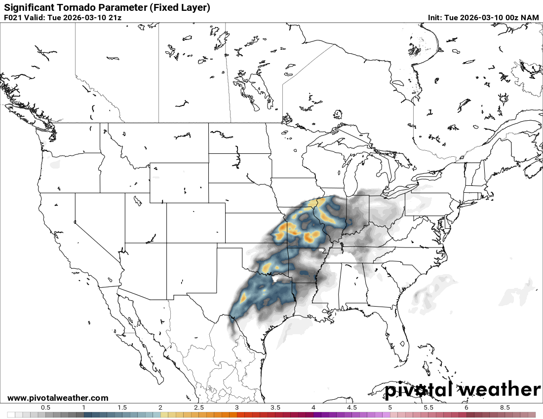
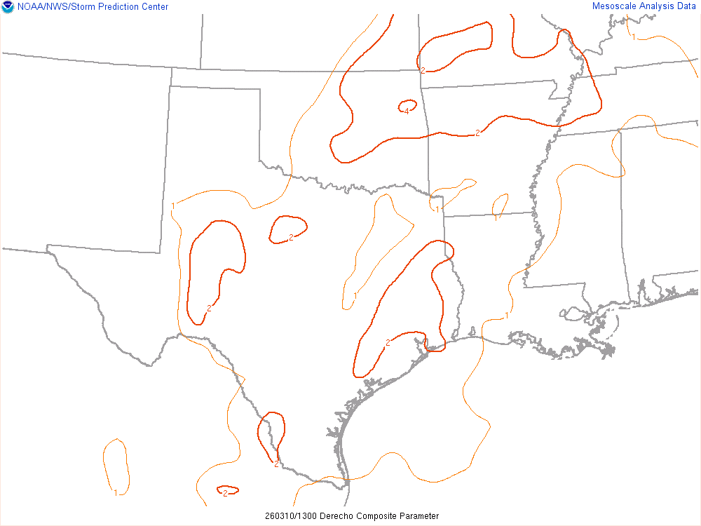
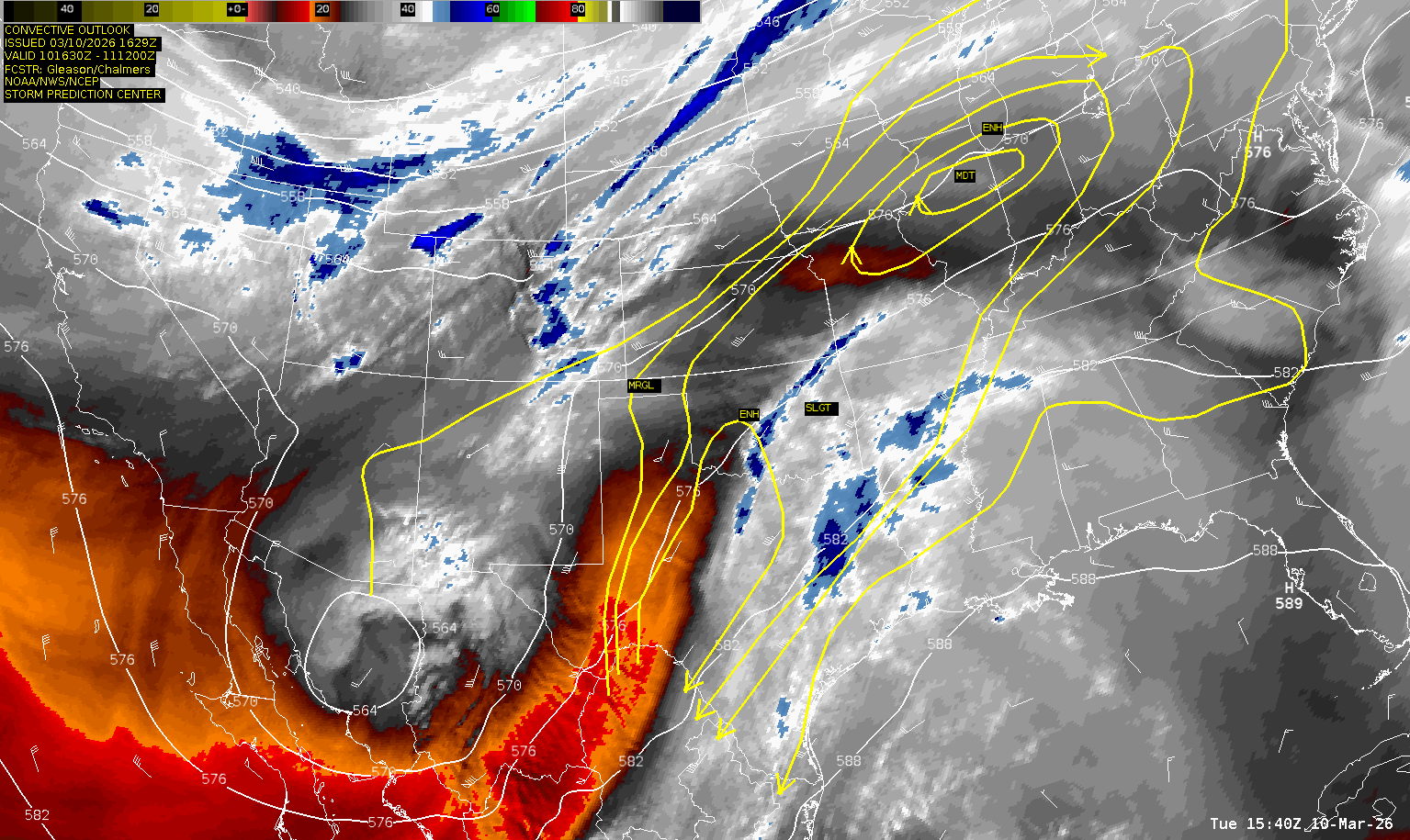
Meanwhile, the SPC brought an Enhanced risk up into OKC Metro.
I would eventually leave my house and head down to Chickasha and sit near the I-44/US-81 interchange.
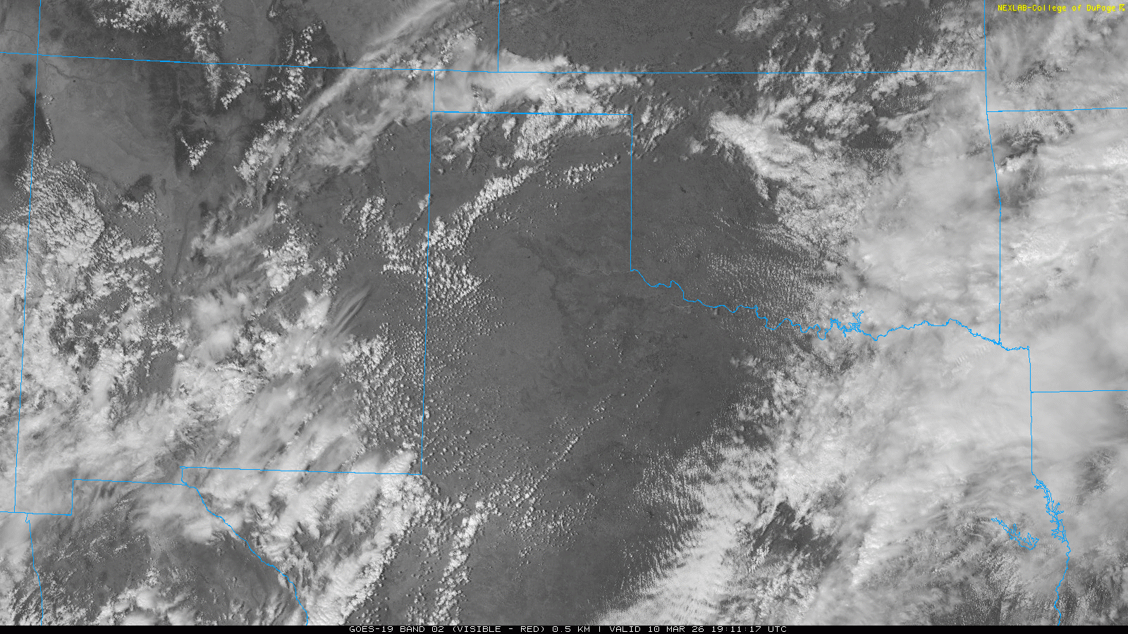
21z Visible and Water Vapor Satellite Loop
As I sat in Chickasha, you could see the beginnings of turkey towers and then a storm going up to my west near Anadarko. After Chance joined me, we relocated to the US62-US81 intersection gas station near the Chickasha Airport.
Chances Truck Dies
As we’re watching the storm to our west slowly increase in intensity, Chance’s truck decided to just die in the parking lot. His alternator had died, and taken the fuse block next to the battery with it. We spent a long time trying to get his truck into a parking spot and his driver door window up so he could jump in and chase with me.
After